DRONE SOLUTIONS FOR CRITICAL INFRASTRUCTURE
Securing the low-altitude airspace
over critical infrastructure (KRITIS)
Droniq helps KRITIS operators detect unknown drone activity early on, reliably classify flight movements, and safely integrate their own drone operations into their facilities.
Consulting, drone detection, airspace management, system integration, and
—all you need for safe drone operations, all from a single source.
HOW CAN WE HELP YOU?
Whether it's protection against unauthorized drones, integration of real-time air situation data, or setting up your own drone operations: Droniq combines the right technologies, data, and services into a solution tailored to your needs.
Unknown
Detecting drones
Identify and locate drone activity early on and make it available for further analysis.
Correctly classify flight movements
Compare known and approved missions with actual detected drone activity.
Integrate real-time air traffic data from
into
Provide drone and air traffic information in existing control center, operations, and security systems.
Implement Your Own Drone Operations Using
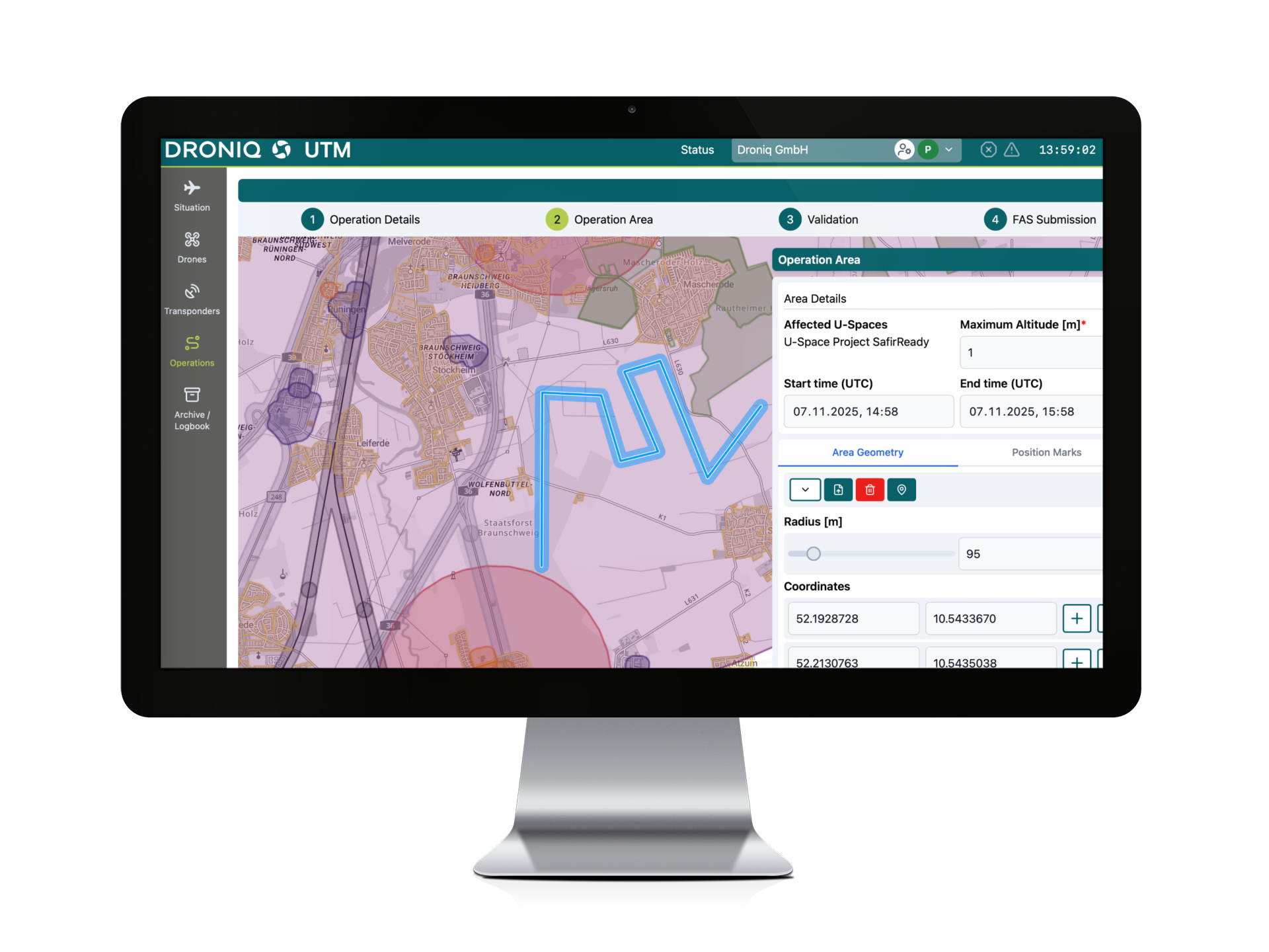
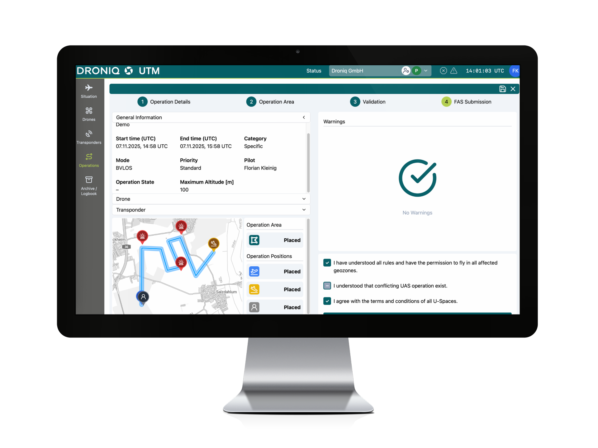
Plan and coordinate drone missions and integrate them safely into existing operational processes.
: How to Securely Set Up
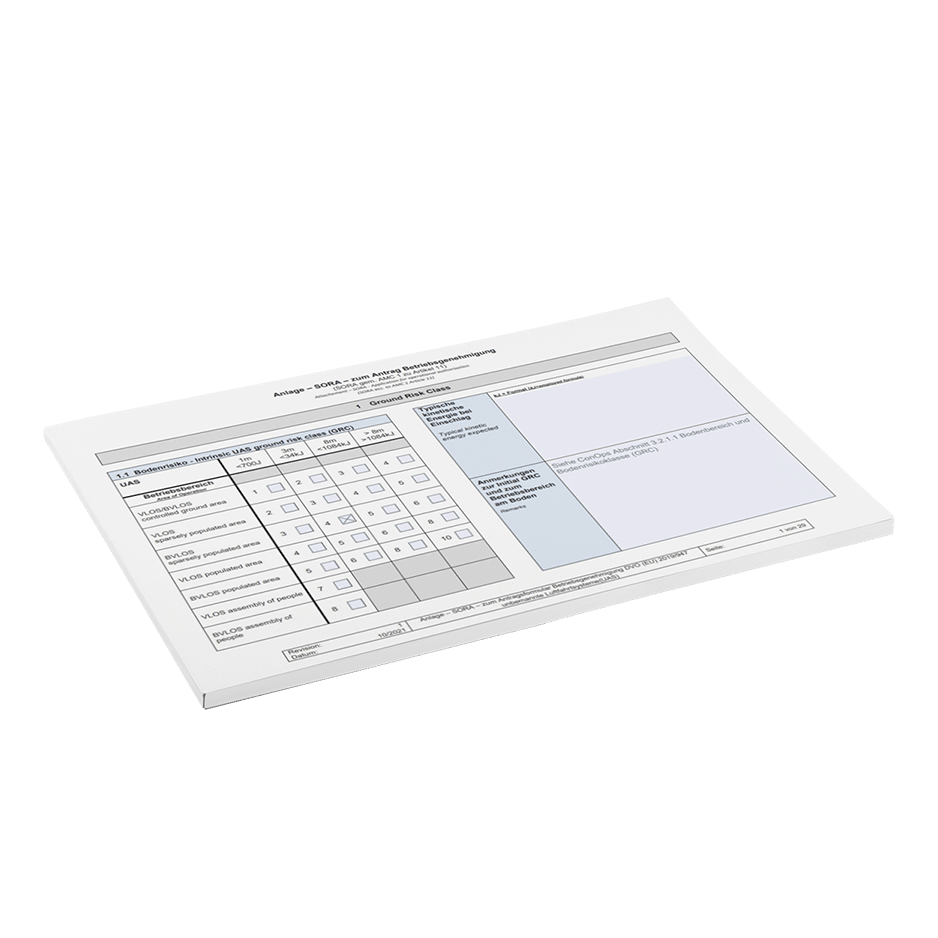
Prepare for drone operations from a regulatory and organizational perspective, develop operating procedures, and assist with the permitting process.
Train employees at
To provide the specialized knowledge, required qualifications, and practical skills needed for safe and professional drone operations.
THE BACKGROUND
Drones are becoming a
security-related factor
for KRITIS operators
Drones open up new possibilities for inspection, surveillance, and reconnaissance. At the same time, unknown or unauthorized flight activity can endanger sensitive facilities and disrupt operations. This presents a key challenge for those in charge: They must be able to identify what is happening in low-altitude airspace, distinguish between known and unknown activities, and make quick, well-informed decisions when unusual activity is detected.
83 %
already view drones as a threat to their organization, or expect them to do so in the future.*
More than half
reports unauthorized or safety-related drone flights.*
Just under 50%
has not yet implemented any measures for drone detection.*
* The survey results also show that sabotage and operational disruptions dominate risk perceptions, and that reliability, early detection, and compliance are key requirements for future solutions.
THE CHALLENGE
SECURITY DOES NOT COME FROM INDIVIDUAL PIECES OF DATA IN THE SYSTEMS
A detected drone is initially just a signal. To make a reliable assessment, its actual activities must be linked to known missions, air situation data, and the site’s operational procedures.
Lack of Transparency in "
"
It is not possible to reliably determine which aircraft movements are taking place over the site or what their purpose is.
Unclear Risk Assessment for "
"
It is not possible to distinguish quickly enough between known, authorized, and unknown drone activities
-Isolated Systems
Detection, flight planning, air situation data, and existing safety systems provide separate pieces of information.
e Action Processes Are Missing
Responsibilities, alert procedures, and actions to be taken in the event of suspicious activity are not sufficiently defined.
Complex Drone Operations at
Conducting operations requires appropriate technology, operational plans, permits, and safe procedures.
Lack of "
" Skills
Employees need technical, regulatory, and practical qualifications to operate drones safely.
Therefore, it is not just a matter of detecting a drone
.
What matters is understanding the situation and being able to act safely.
THE DRONIQ PORTFOLIO
TWO KEY AREAS OF FOCUS.
ONE COMMON GOAL:
SECURE OPERATIONAL PROCESSES
For operators who need transparency regarding unknown or unauthorized flight movements.
Typical questions:
- What is actually flying over our location?
- Is the activity known or approved?
- Is there an abnormality?
- What information does the control center need?
- How is an event documented?
For operators who wish to use drones for inspection, surveillance, reconnaissance, or automated missions.
Typical questions:
- Which use case makes sense from a technical and economic standpoint?
- What drone and software are needed?
- Is a permit required?
- How is the business structured from an organizational standpoint?
- What qualifications do employees need?
-
Identifying Actual Activities
Detect cooperative and uncooperative drone activities early on and make them visible within the monitored area.
-
Distinguish Between Known and Unknown Flights
Detect cooperative and uncooperative drone activities early on and make them visible within the monitored area.
-
Get a complete picture of the situationCompile information on manned and unmanned air traffic, as well as actual drone activity, in a way that is easy to understand.
-
Integrate Existing SystemsProvide relevant air situation data where safety and operational decisions are made.
-
Ensuring the Safety of Your Own Drone OperationsPlan drone missions professionally, take the necessary permits into account, and establish operational procedures.
-
Empowering People and OrganizationsDefine responsibilities, train employees, and establish processes that ensure long-term safety.
THE CHALLENGE
RECOGNITION ALONE IS NOT ENOUGH
A detected drone is initially just a technical signal. To make a reliable assessment, flight movements must be categorized, compared with known missions, and integrated into existing security and operational processes. It is not just a matter of detecting a drone. What matters is understanding the situation and being able to act safely.
Detect cooperative and uncooperative drone activities early on and make them visible within the monitored area.
Cross-reference detected drones with registered or approved missions to more easily identify anomalies.
Compile information on manned and unmanned air traffic, as well as actual drone activity, in a way that is easy to understand.
Provide relevant air situation data where safety and operational decisions are made.
Plan drone missions professionally, take the necessary permits into account, and establish operational procedures.
THE DRONIQ PRINCIPLE
RECOGNIZE. UNDERSTAND. ACT.
Recognize:
Know what's actually flying
Droniq identifies known and unknown drone activities and provides relevant flight data for further analysis.
Understanding:
How to Properly Assess Flight Activity
Detected activities are cross-referenced with known missions and other air situation information. This makes it possible to determine whether a flight is expected, suspicious, or unknown.
Action:
—Transforming information into secure processes
Droniq provides support for integration into control centers and security systems, as well as for operational concepts, permits, certification, and day-to-day operations.
OUR SERVICES FOR KRITIS OPERATORS
FROM THE INITIAL ANALYSIS
TO RELIABLE ROUTINE OPERATION
Droniq combines consulting, technology, integration, and operational services. Depending on your specific situation, you can use individual services or combine them into a comprehensive solution.
Consulting and
Needs Assessment
We analyze the current situation, location, risk areas, existing systems, and planned use cases. This leads to a suitable solution and implementation strategy.
Services:
- Requirements and Use Case Analysis
- Evaluation of Existing Processes and Systems
- Technical and Regulatory Classification
- Solution and Implementation Plan
- Selection of Appropriate Technologies
Airspace Management and "
" Situation Report
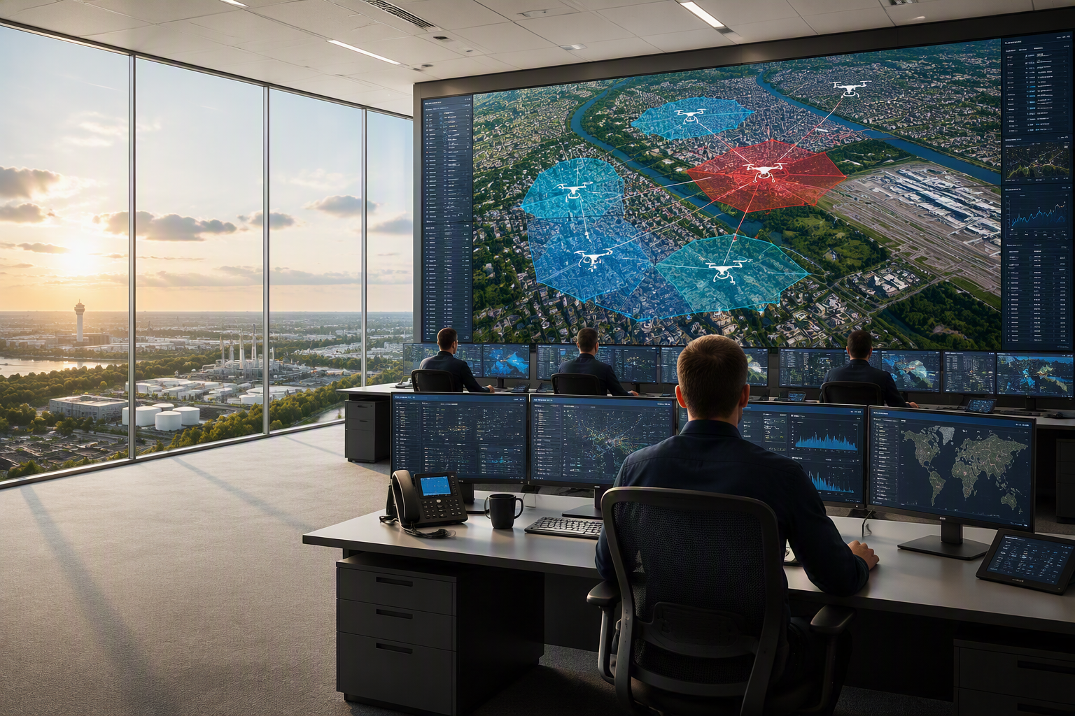
Droniq provides transparency regarding known missions, actual drone activities, and other air traffic.
Services:
- Management of Well-Known Drone Missions
- Digital Registration and Authorization of Air Situation Information
- Geozone and Area Management
: A Shared Operational Picture
Suitable Solutions: MyZone Manager, MyZone Suite, TraX Enterprise
Drone detection
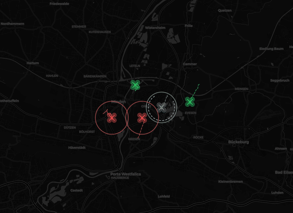
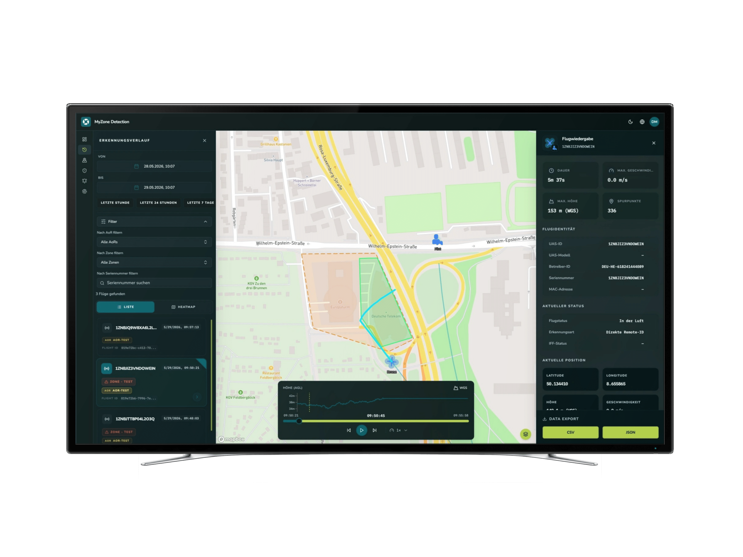
Droniq helps operators detect, locate, assess, and document drone activities early on.
Services:
- Detection Concepts
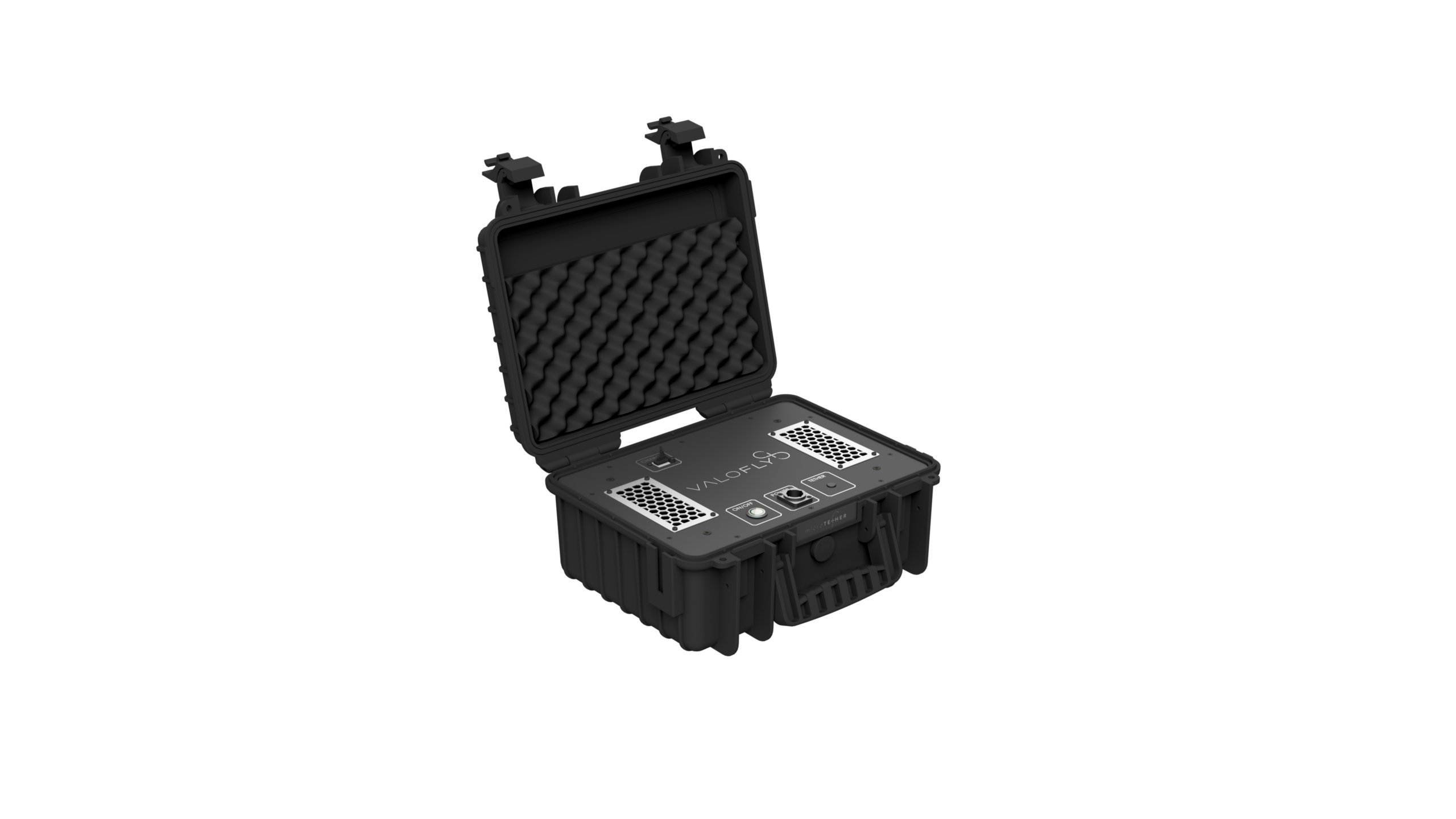
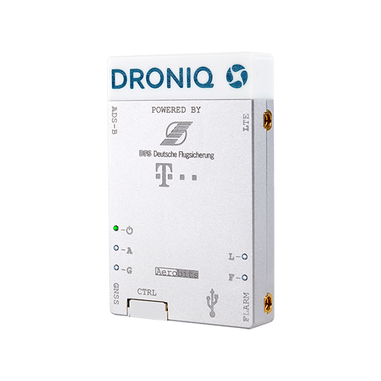
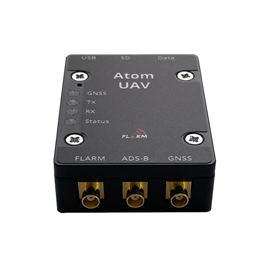
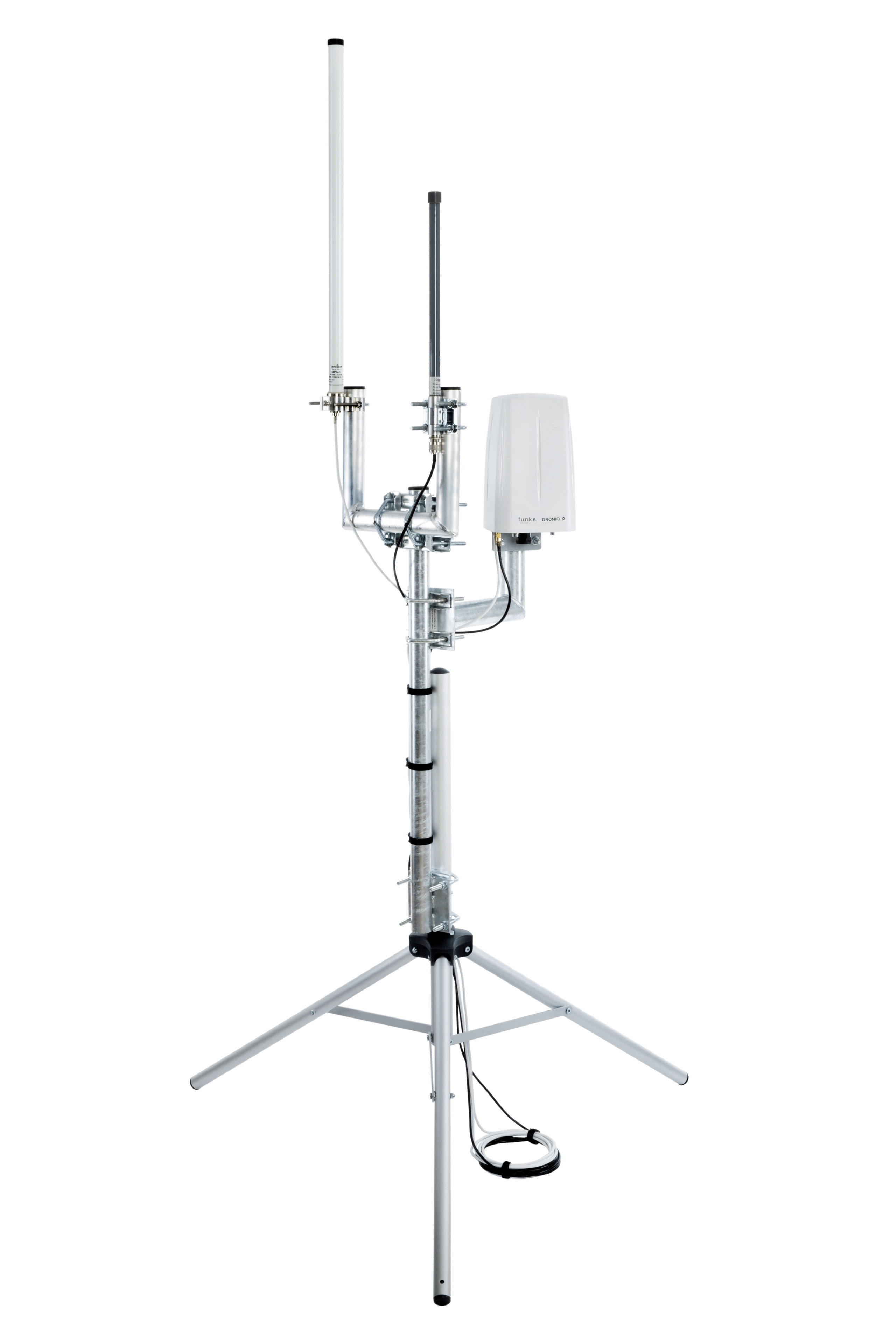
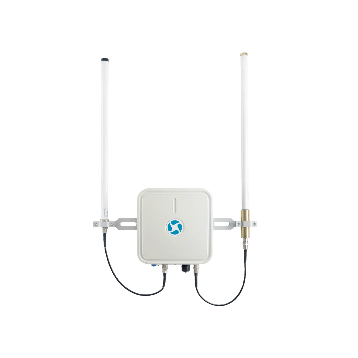
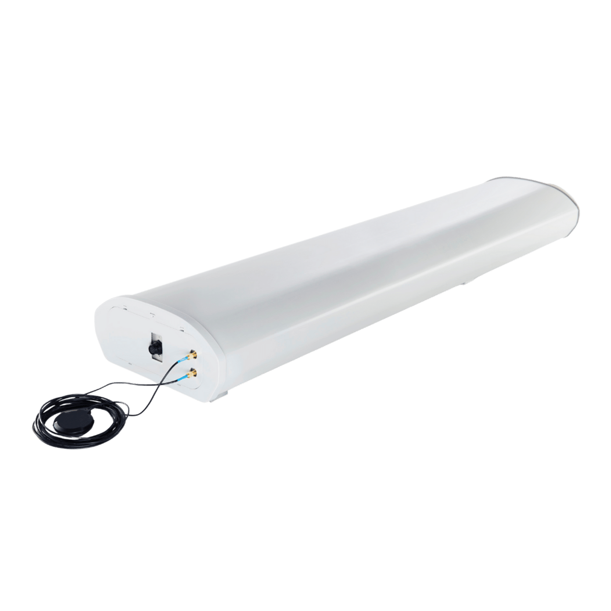
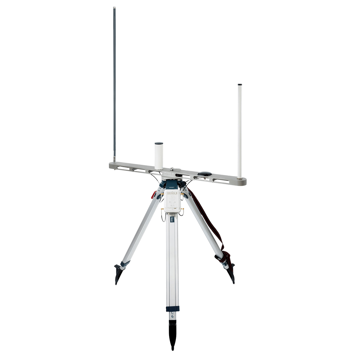
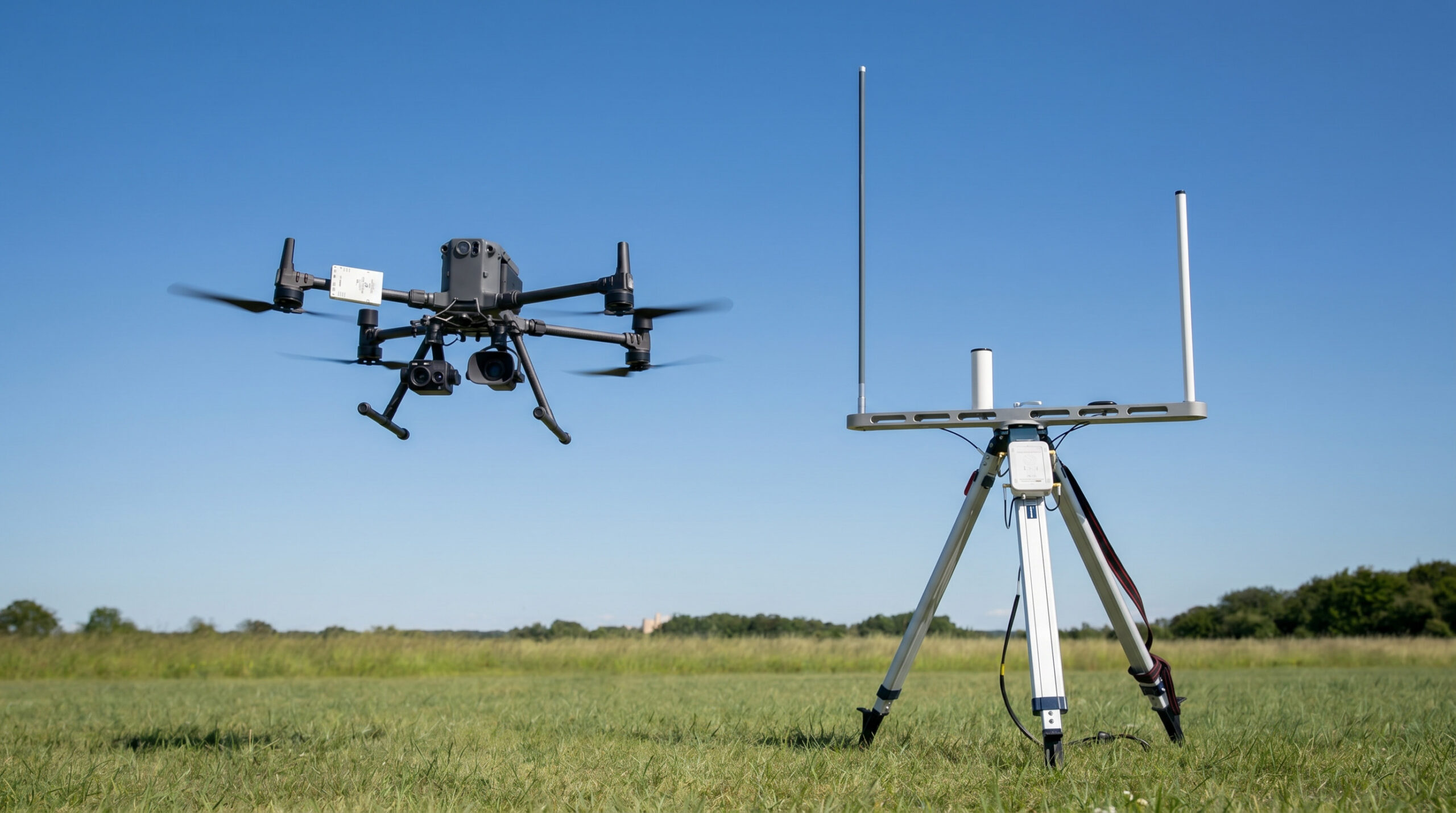
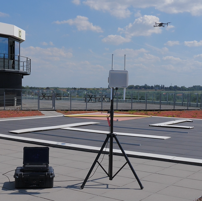
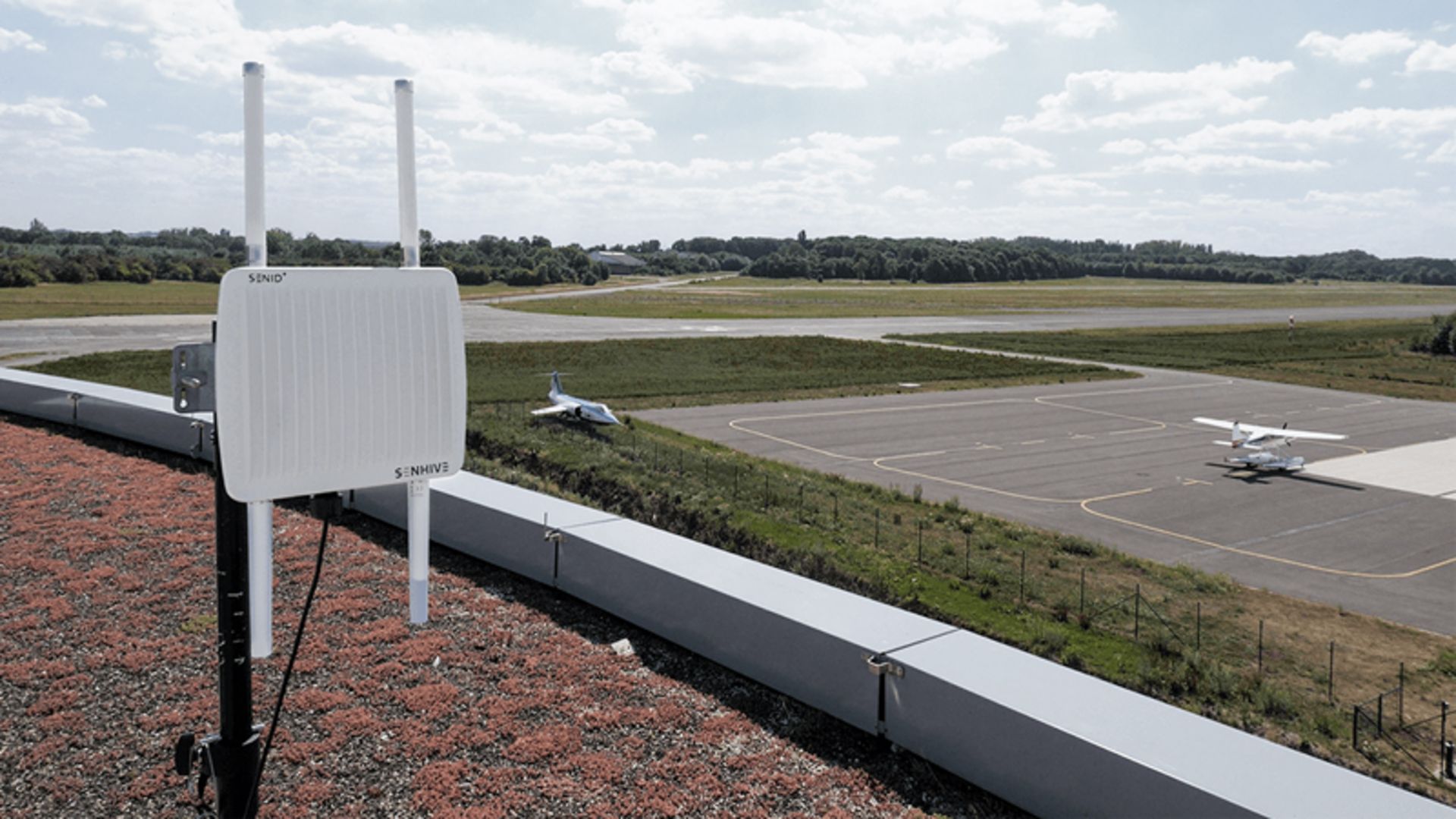
- Sensors and Antenna Systems
- Live Display of Recognized Activities
- Alarm Notification and Event Analysis
- Replay, Reporting, and Documentation
The Right Solution: MyZone Detection
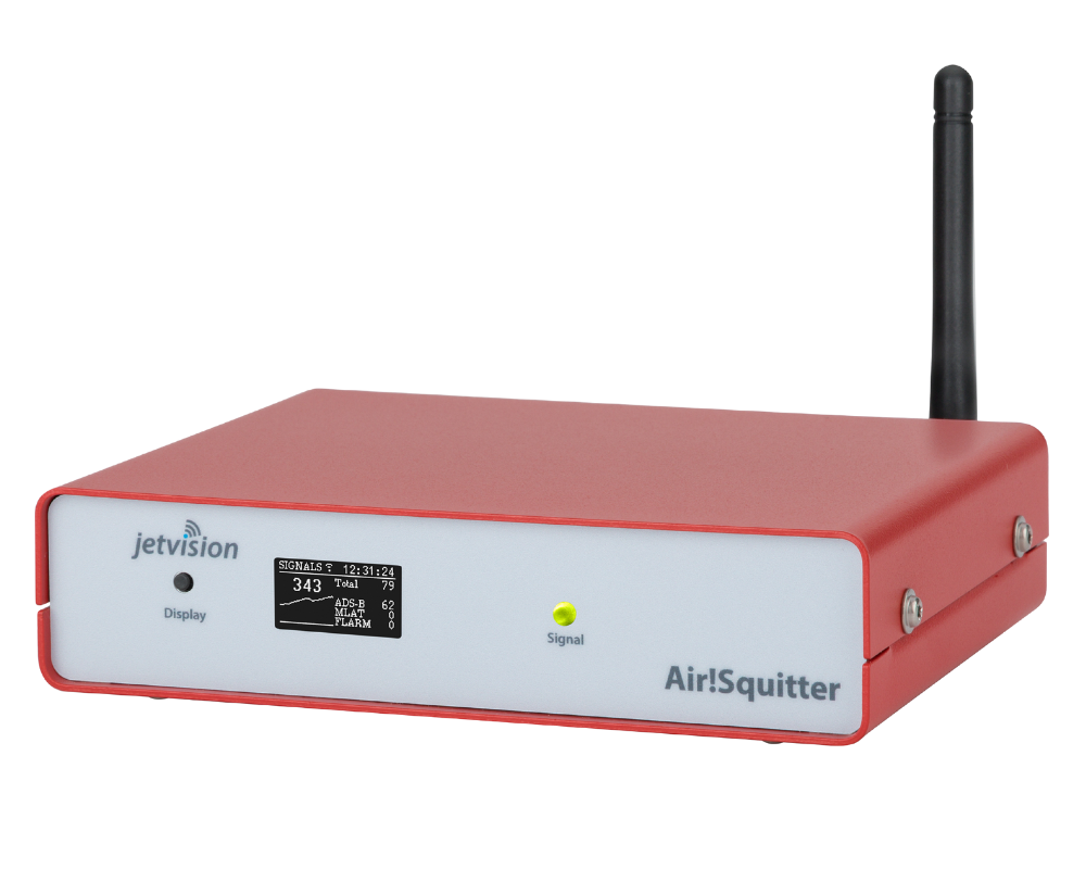
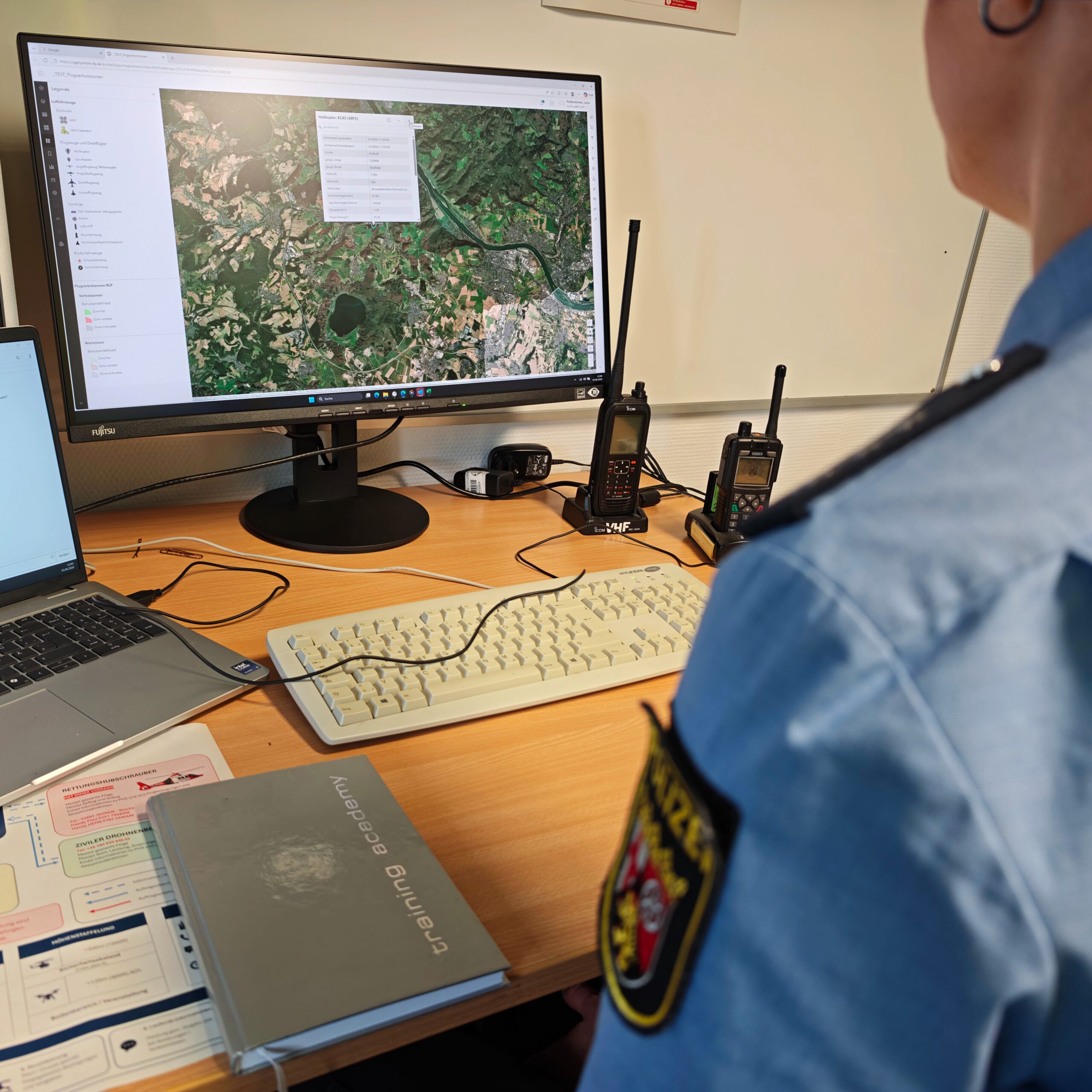
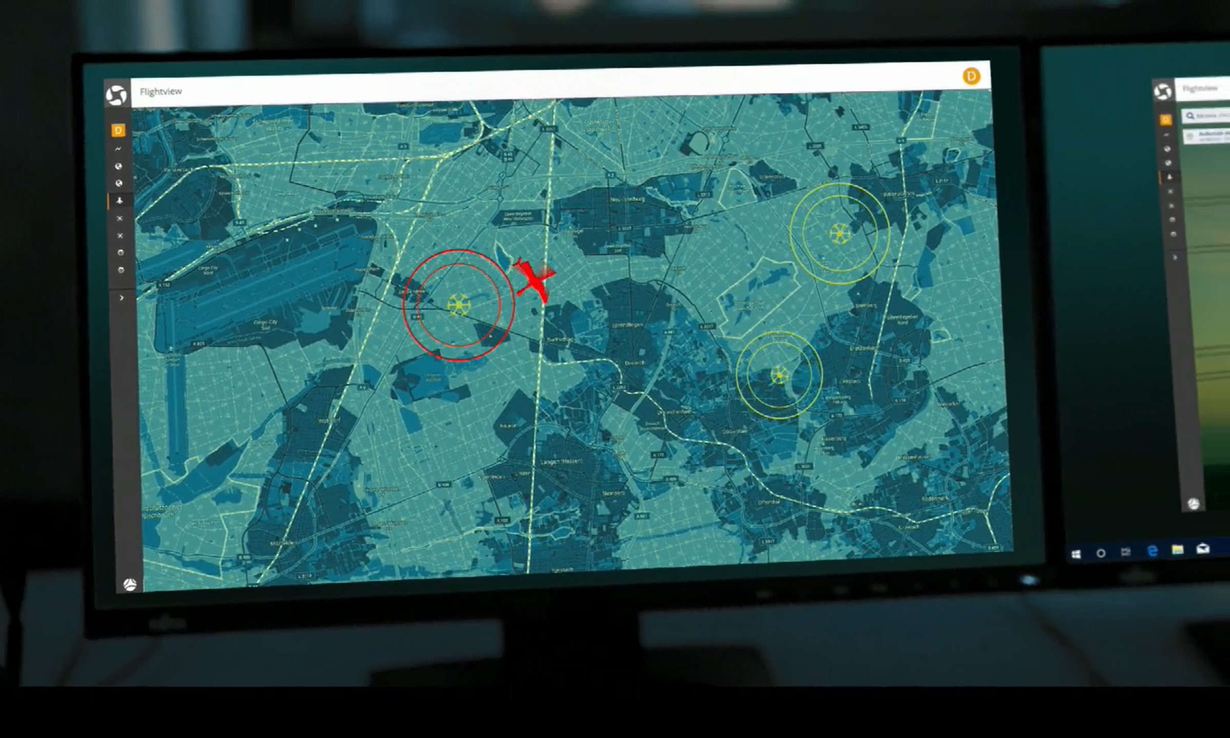
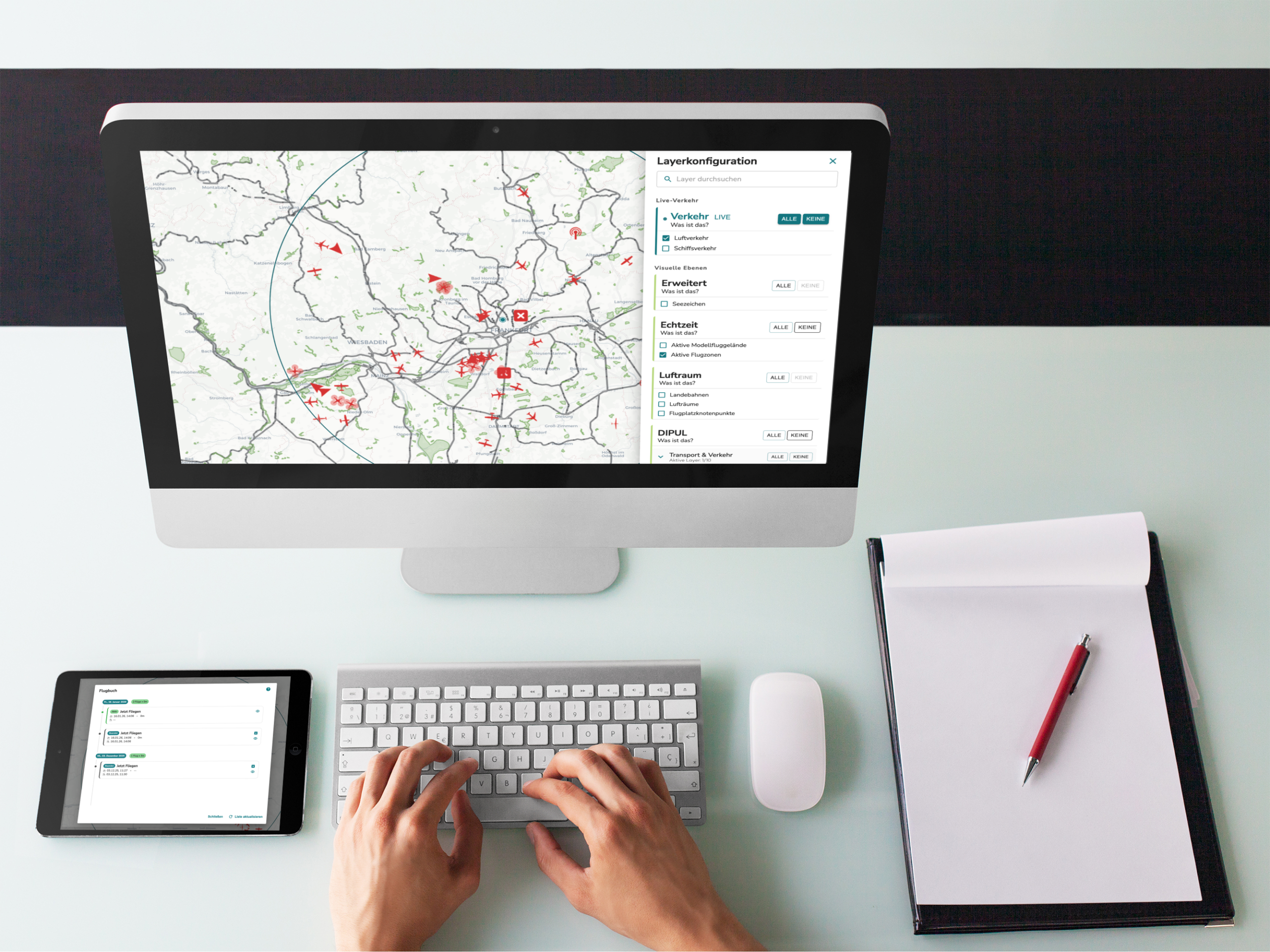
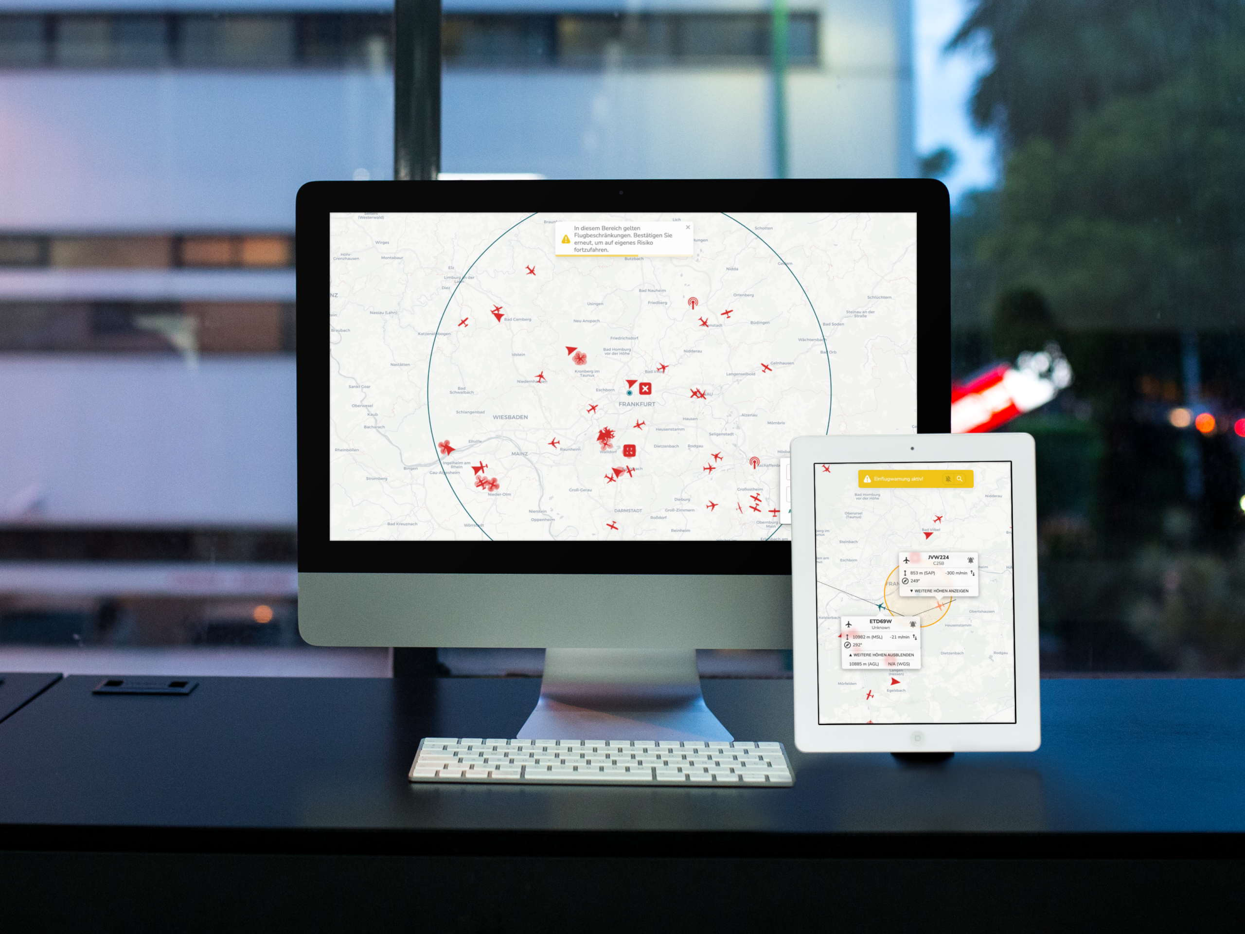
MyZone Detection provides a central map view that displays detected activities, security zones, and analysis, alerting, and replay functions.
Data Integration and
Situational Awareness
Air situation and drone data are made available where security and operational decisions are made.
Services:
- standardized data interfaces
- Integration into Control Centers and Situation Centers
- Integration into security and command and control support systems
- Integration of Various Data Sources
Provision of Information Relevant to Decision-Making
Suitable solutions: Air Situation Data Interface, edp:map, and CommandX
Drone Technology and
Business Integration
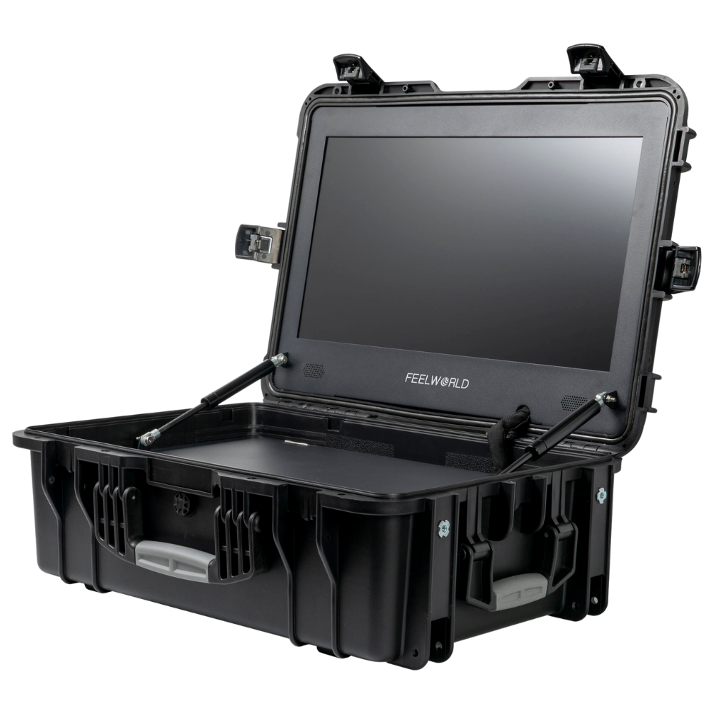
Droniq provides support in the selection, implementation, and integration of professional drones and docking systems.
Services:
- System and Hardware Selection
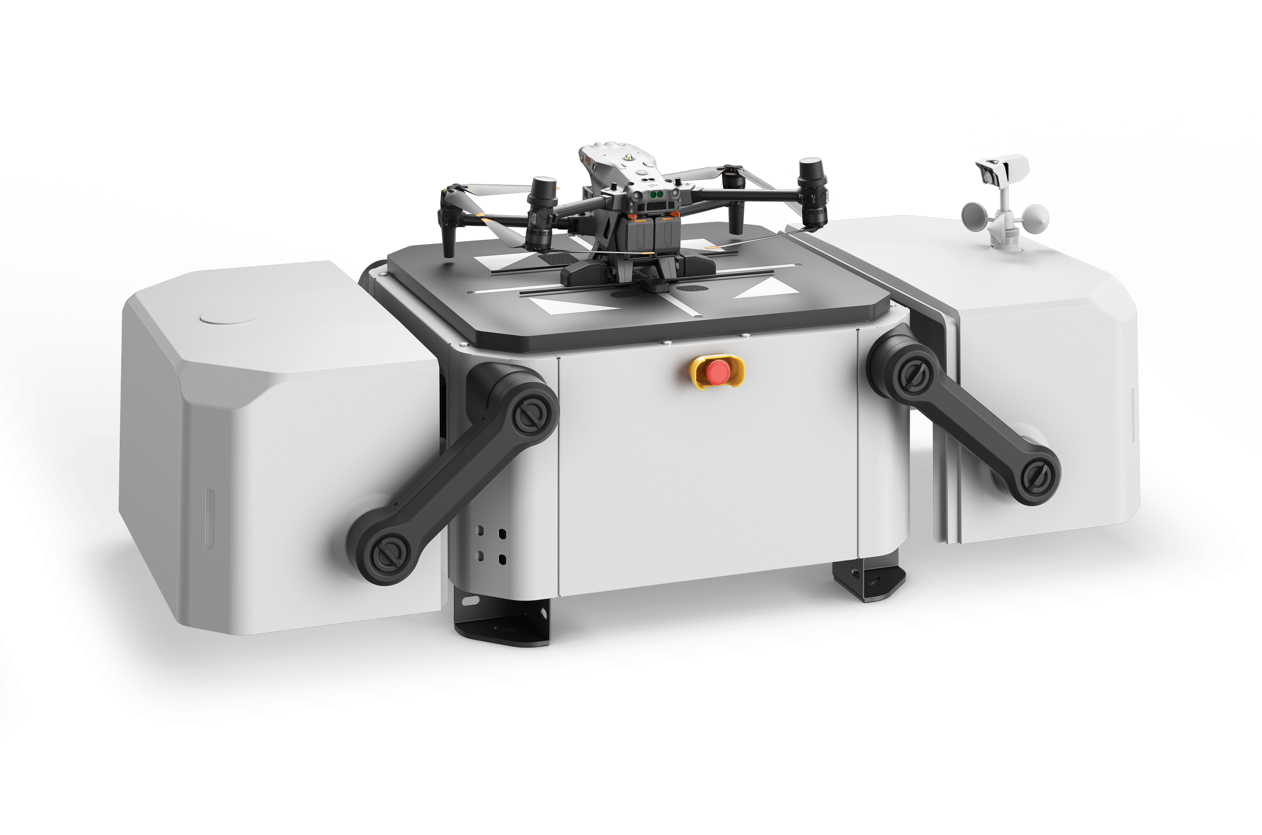
- Drones and Docking Systems
- Planning Automated Missions
- technical integration
- Commissioning and Training
Operating Concepts and
Permits
Droniq is developing the regulatory and organizational framework for safe drone operations.
Services:
- ConOps and Operational Descriptions
- SORA Risk Assessments
- Approval Documents
- Government Communications
- Operating Procedures and Documentation
Academy and "
" Certification
THE REQUIREMENTS
SOLUTIONS FOR A SAFE AND TRANSPARENT AIRSPACE
Detecting Drone Activity
Detecting Unknown Flight Movements Early
Droniq helps operators track and locate drone activity in relevant areas. The information detected is presented clearly and can be integrated into existing security processes.
Here's what Droniq offers:
- Detection of Drone Activity
- Locating Relevant Flight Movements
- A clear overview of the events
- Integration of Various Detection Technologies
- Support for Integration into Security Processes
Products and Services:
- MyZone Detection
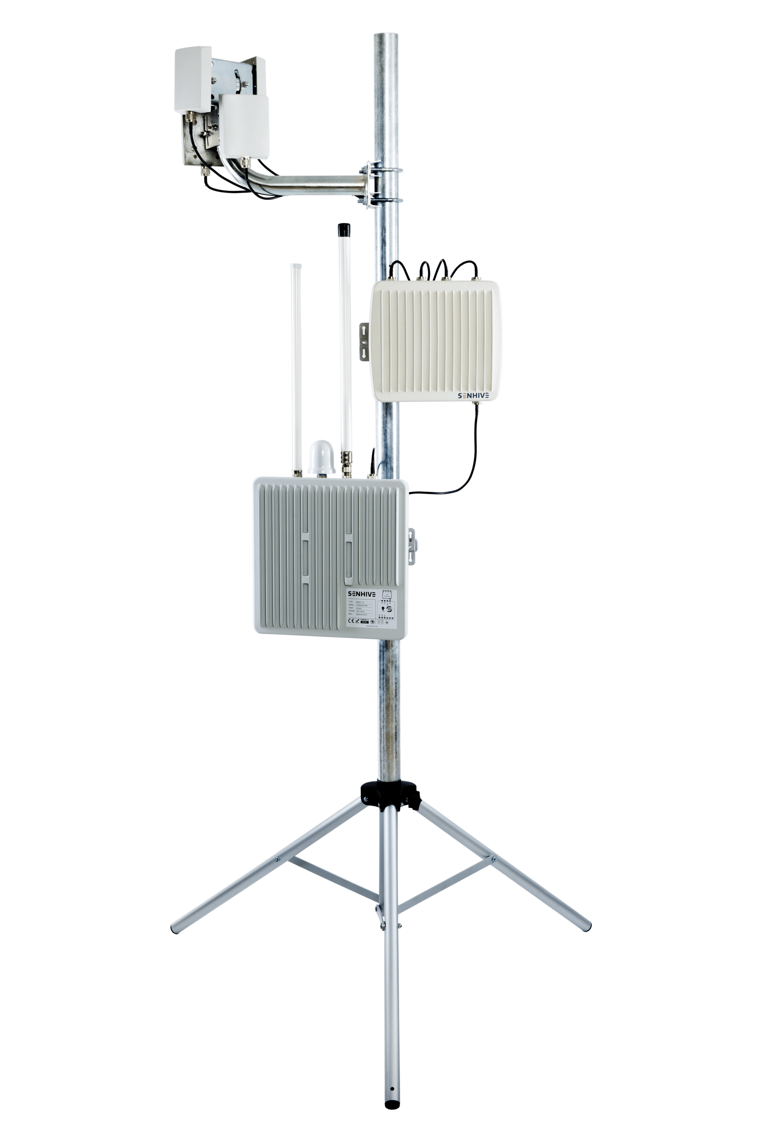
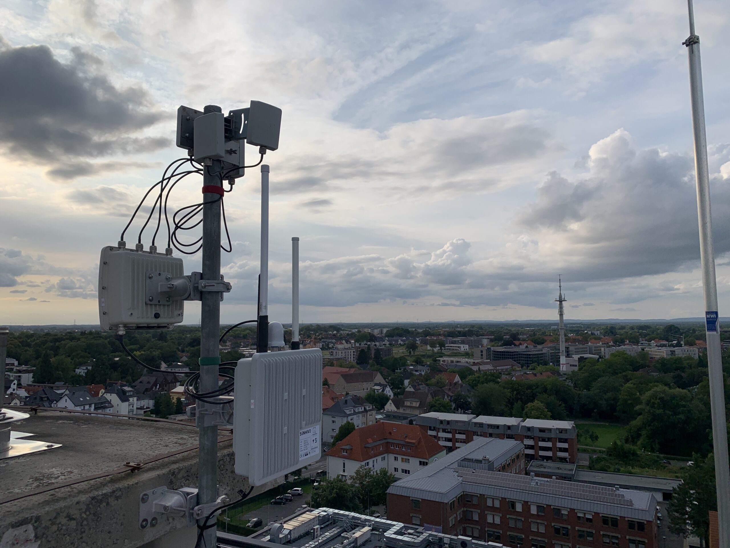
- Senhive SenID+ Drone Detection System
- Sensors and Technical Integration
Classify Flight Movements
Distinguish between known, approved, and unknown activities
Detection alone does not determine whether a flight is permissible or suspicious. By linking it to known or authorized missions, the necessary context is established for a well-founded assessment.
Here's what Droniq offers:
- Management of Registered Missions
- Overview of Known Flight Activities
- Comparison with drones that were actually detected
- Identifying Expected, Unusual, or Unknown Activities
- A common information base for security officials
Products and Services:
- MyZone Suite
- MyZone Manager
- MyZone Detection
Integrate the air situation into existing systems
Provide relevant information where decisions are made
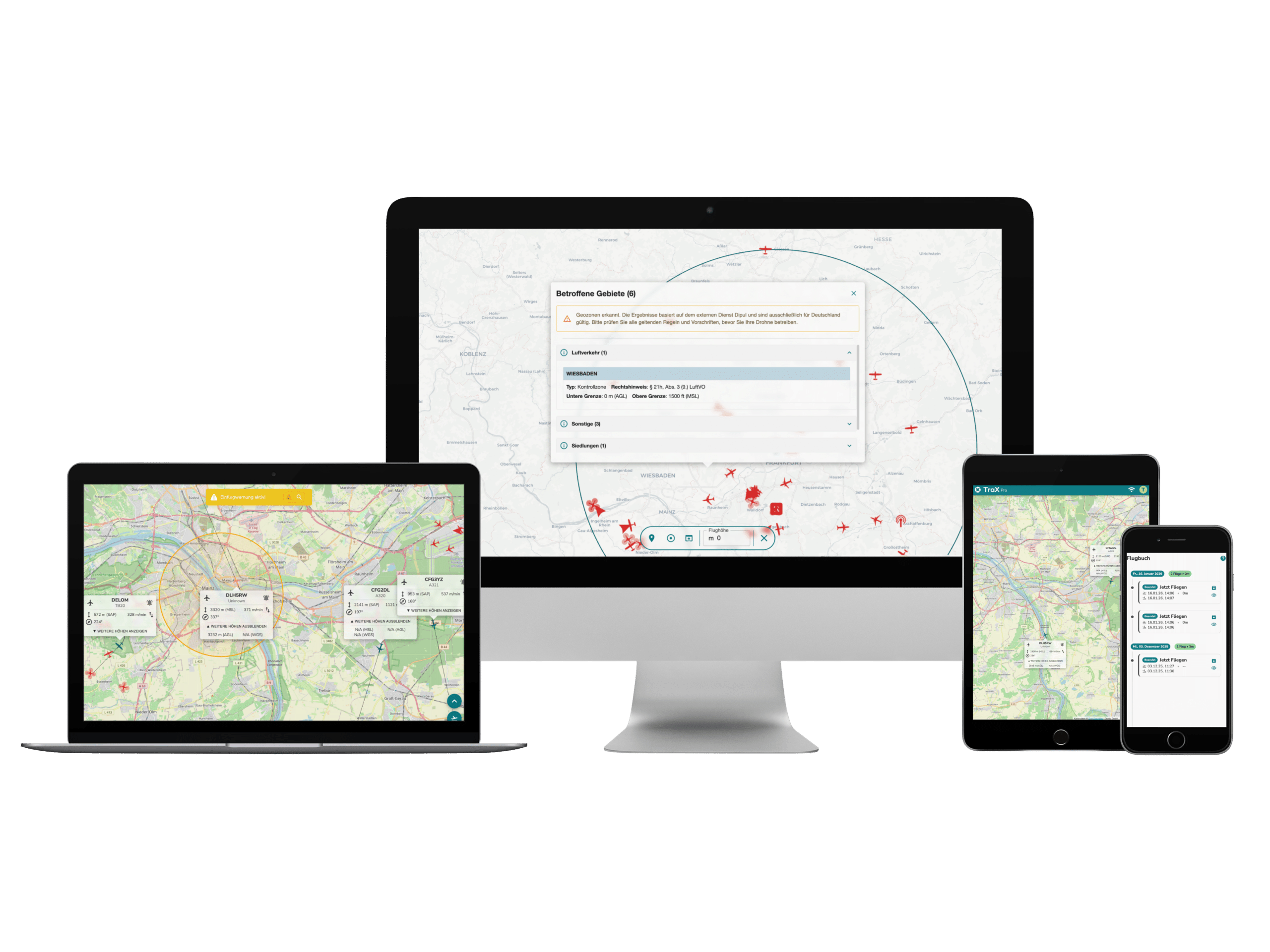
Droniq provides live air situation data as a data stream via interfaces. This allows drone and air traffic information to be integrated into existing control center, operational, and command and control support systems.
Here's what Droniq offers:
- Data on manned and unmanned aviation
- standardized interfaces
- Integration with Existing Applications
- Consistent representation of the air situation
- Information in the current work environment
Products and Services:
- VIS-X or Air Situation Data Service
- Interfaces and System Integration
- Live Air Situation Data
Coordinate Your Own Drone Operations
Preparing for and Conducting Professional Drone Missions Safely
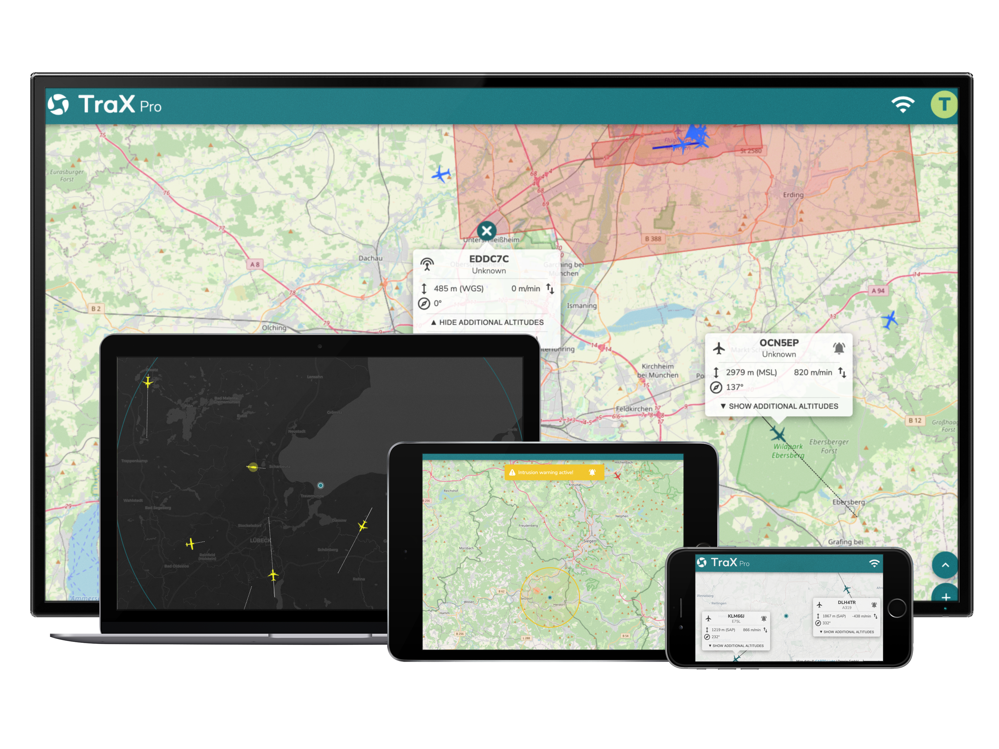
TraX supports drone pilots, operators, and organizations in planning and executing drone missions. Relevant air situation information and features for complex operations lay the foundation for safe and traceable operations.
Here's what Droniq offers:
- Information on Current Air Conditions
- Assistance with flight planning
- Geozone Management
- Coordination of Multiple Pilots and Missions
- Support for complex missions requiring approval
Products and Services:
- TraX Enterprise
- Air Situation Information
- Permit Assistance
Automated Monitoring of Locations
Using Drones for Routine and Ad Hoc Missions
Drones and docking systems enable automated or alarm-triggered missions. For example, they can provide an up-to-date aerial view of the situation and assist in verifying an incident.
The Droniq page on perimeter monitoring lists live surveillance footage, alarm verification, automated patrols, and integration with existing systems as features.
Here's what Droniq offers:
- Enterprise Drones
- Dock and Drone-in-a-Box Systems
- automated mission procedures
- Technical and operational integration
- Assistance with Permits and Operational Plans
Empowering Organizations
Building Secure Processes and Competencies
Technology alone does not ensure the ability to act. Employees must be able to interpret information correctly, operate drones safely, and understand regulatory requirements.
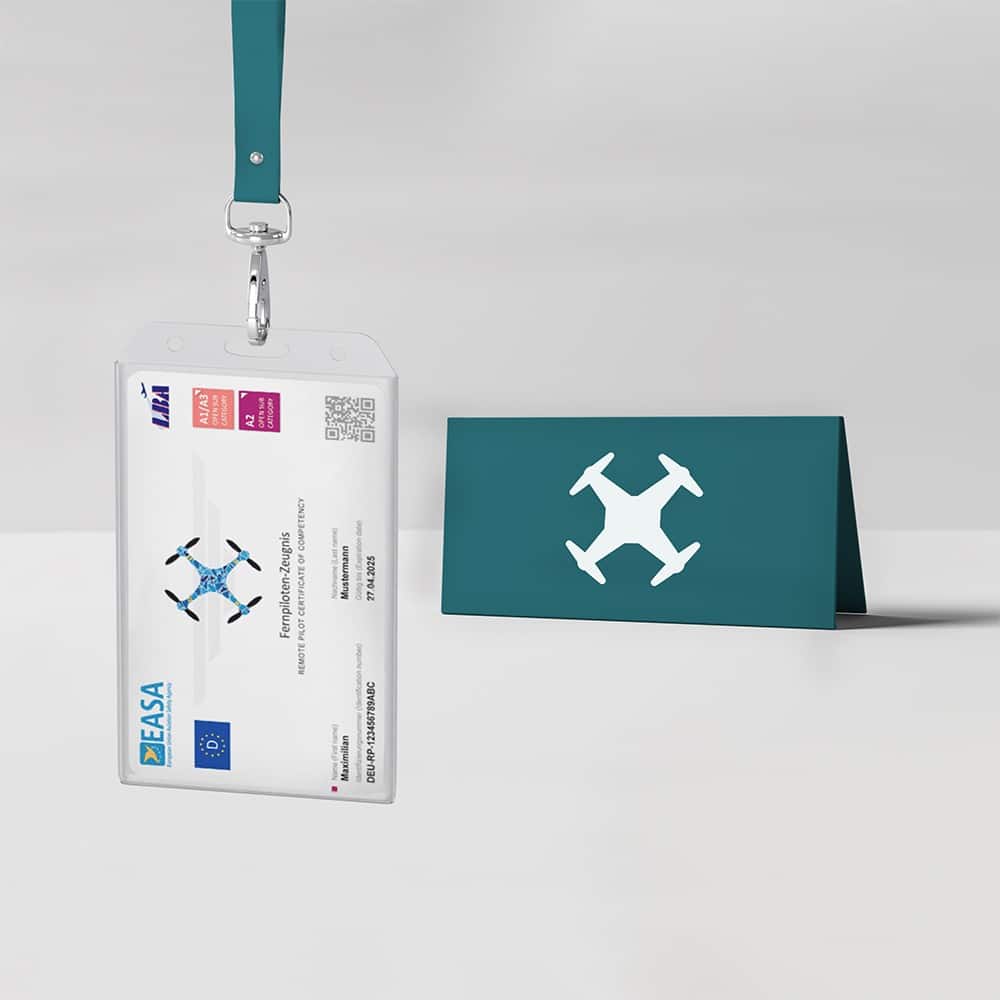
The Droniq Academy provides certifications, hands-on training, and knowledge for the safe, professional, and legally compliant operation of drones.
Here's what Droniq offers:
- Remote Pilot Certifications
- Practical Training
- Training for Organizations
- Consulting on ConOps and SORA
- Assistance with Operating Permits
- Establishing Professional Drone Programs
Discover the Academy and Consulting Services
HOW WE'LL SUPPORT YOU
6 STEPS TO FINDING THE RIGHT SOLUTION
Assess locations, risks, processes, existing systems, and objectives.
Analyze security requirements, use cases, and technical and regulatory frameworks.
Define technology, data, processes, responsibilities, and the operating model.
Install systems, create interfaces, and integrate existing operational and security processes.
Monitor permits, document procedures, and train employees.
Deploy, support, and further develop the solution, or provide it as a managed service.
THE BUSINESS MODEL
THE BUSINESS MODEL THAT'S RIGHT FOR YOUR ORGANIZATION
In-House Operation
You operate the solution with your own staff. Droniq provides support with design, technology, approvals, and certification.
Supported Operation
Your organization handles day-to-day operations. Droniq provides technology, data, training, support, and specialized services.
Managed Service
Droniq provides specific technical or operational services and supports safe, long-term operation.
INFORMED DECISIONS RATHER THAN ISOLATED, ONE-OFF SOLUTIONS
Droniq combines information on known missions, actual drone activity, and other air traffic. Combined with system integration, drone technology, and training, this creates a robust foundation for security and operations managers.
THE DRONIQ PORTFOLIO
THE RIGHT COMPONENTS FOR YOUR NEEDS
Droniq's solutions are modular in design. Depending on the specific situation, individual products and services can be used on their own or combined to form an integrated, comprehensive solution.
Platform for Low-Altitude Airspace
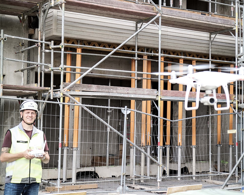
The MyZone Suite combines the management of known drone missions with the visualization of activities that have actually been detected. Its modules can be used individually or together.
These include:
- MyZone Manager for Known and Approved Missions
- MyZone Detection for Actually Detected Drone Activity
- Comparison of Known, Notable, and Unknown Flights
Application for Professional Drone Operations
TraX Enterprise helps organizations prepare drone missions, assess the air situation, and coordinate complex operations.
Key Areas:
- Flight Planning and Air Situation
- Geozone Management
- Coordination of Pilots and Missions
- Support for Complex Drone Operations
Integrate the air situation into existing systems
Droniq provides data on manned and unmanned air traffic for integration into control center, operations, and command and control support systems.
Key Areas:
- Live Air Situation Data
- standardized interfaces
- Integration with Existing Applications
- Providing relevant information in the existing work environment
Technology for professional and automated operations
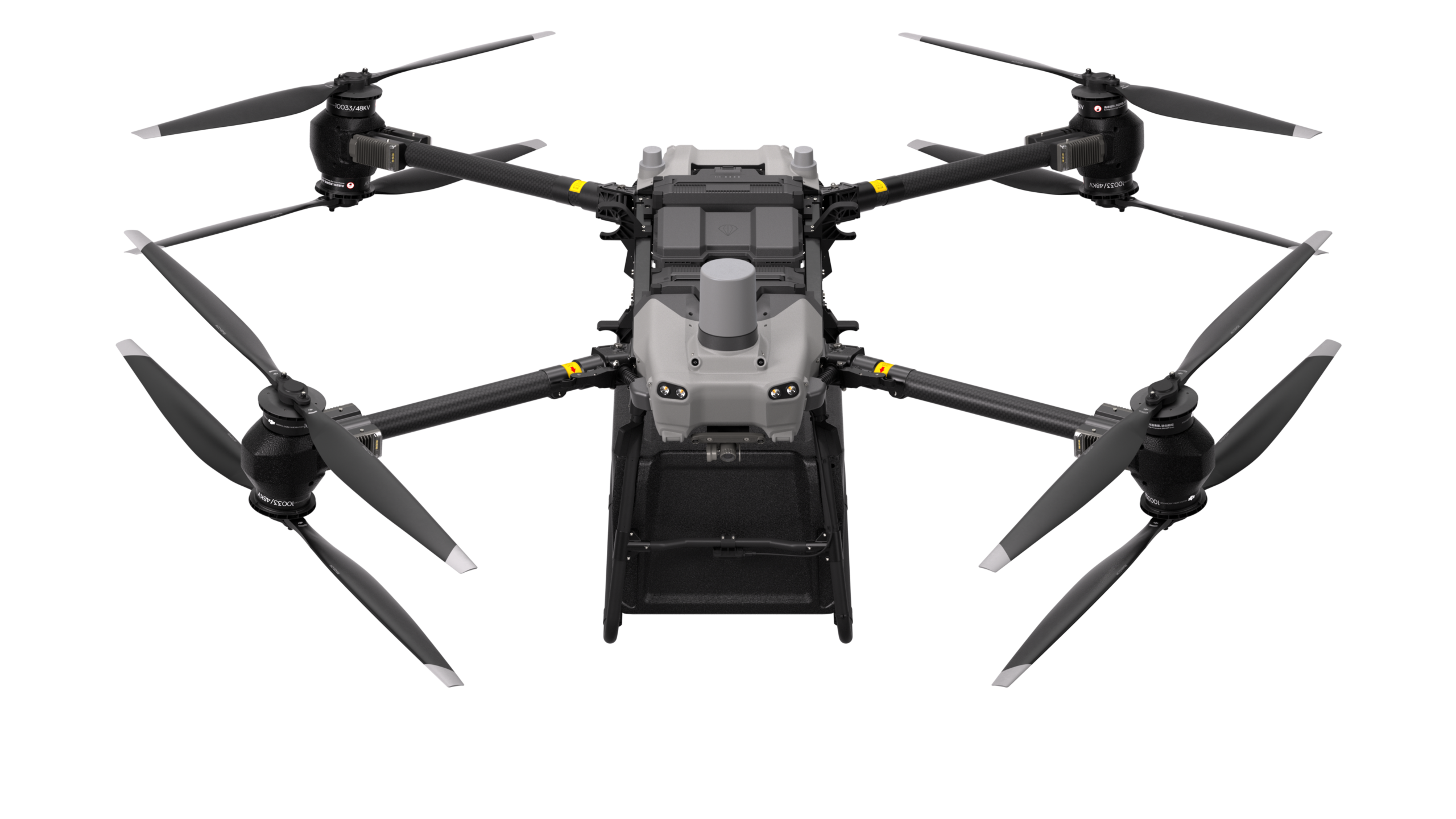
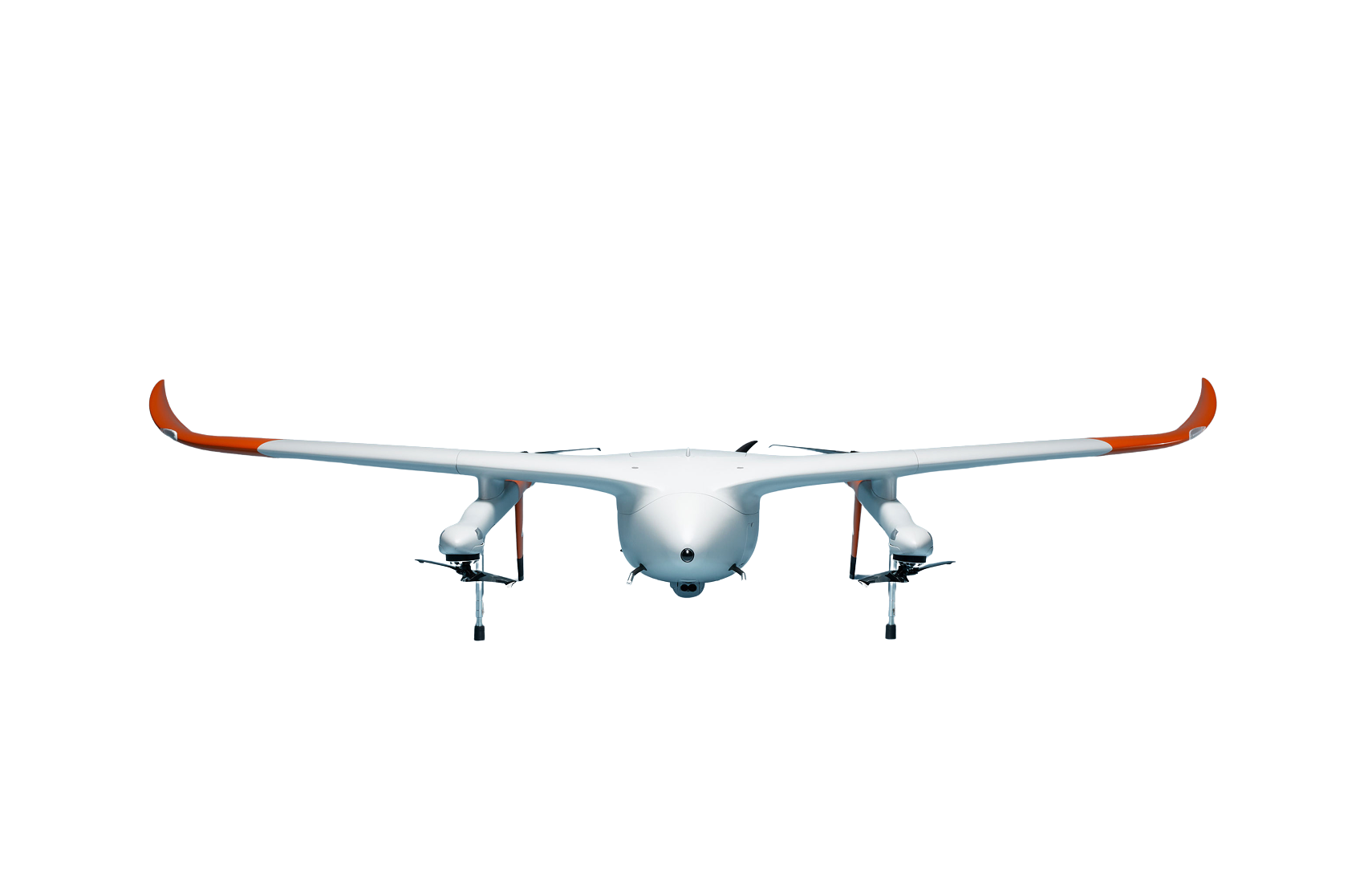
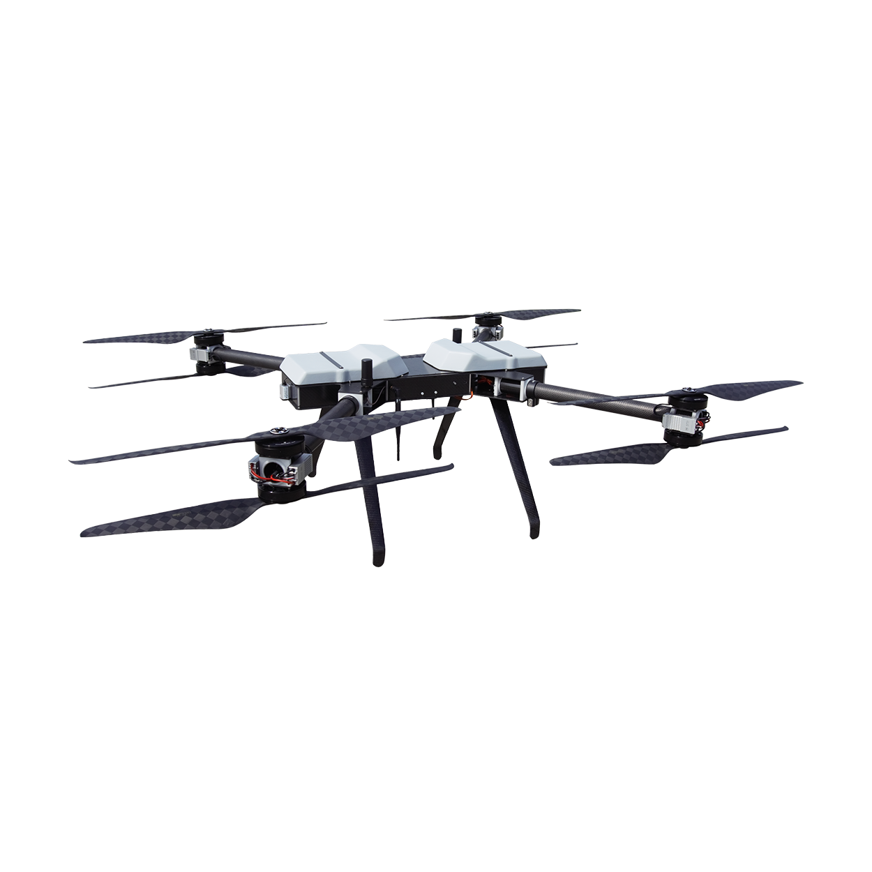
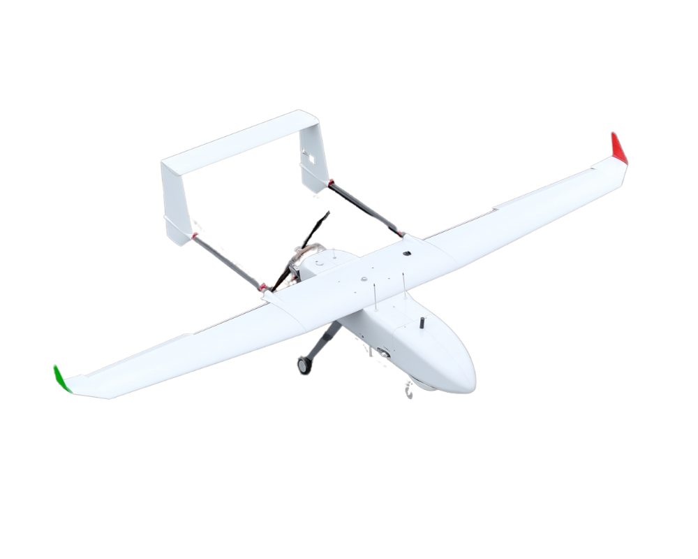
Droniq provides support in selecting and implementing suitable drones and docking systems for recurring, automated, or ad hoc missions.
Key Areas:
- Enterprise Drones
- Dock and Drone-in-a-Box Systems
- automated mission procedures
- Technical and operational integration
Preparing for Professional Drone Operations
Droniq assists organizations with regulatory, technical, and operational issues related to the professional use of drones.
Key Areas:
- Operational Concepts and ConOps
- SORA Risk Assessments
- Assistance with Permits
- Development of Appropriate Operational Processes
Expertise in Safe Drone Operations
The Droniq Academy provides the knowledge needed to operate drones safely, professionally, and in compliance with the law.
Key Areas:
- Qualifications required by law for the A2 and STS remote pilot certificates
- Practical Training
- specialized continuing education programs
- Pilot and Organization Certification
FOR VARIOUS KRITIS AREAS
SOLUTIONS FOR SENSITIVE FACILITIES AND
OPERATIONAL PROCESSES
Critical infrastructures differ in terms of their facilities, processes, and security requirements. What they have in common is the need to detect relevant drone activity early on, properly assess the information, and establish secure operational processes.
Government facilities, sensitive properties, and security-sensitive areas
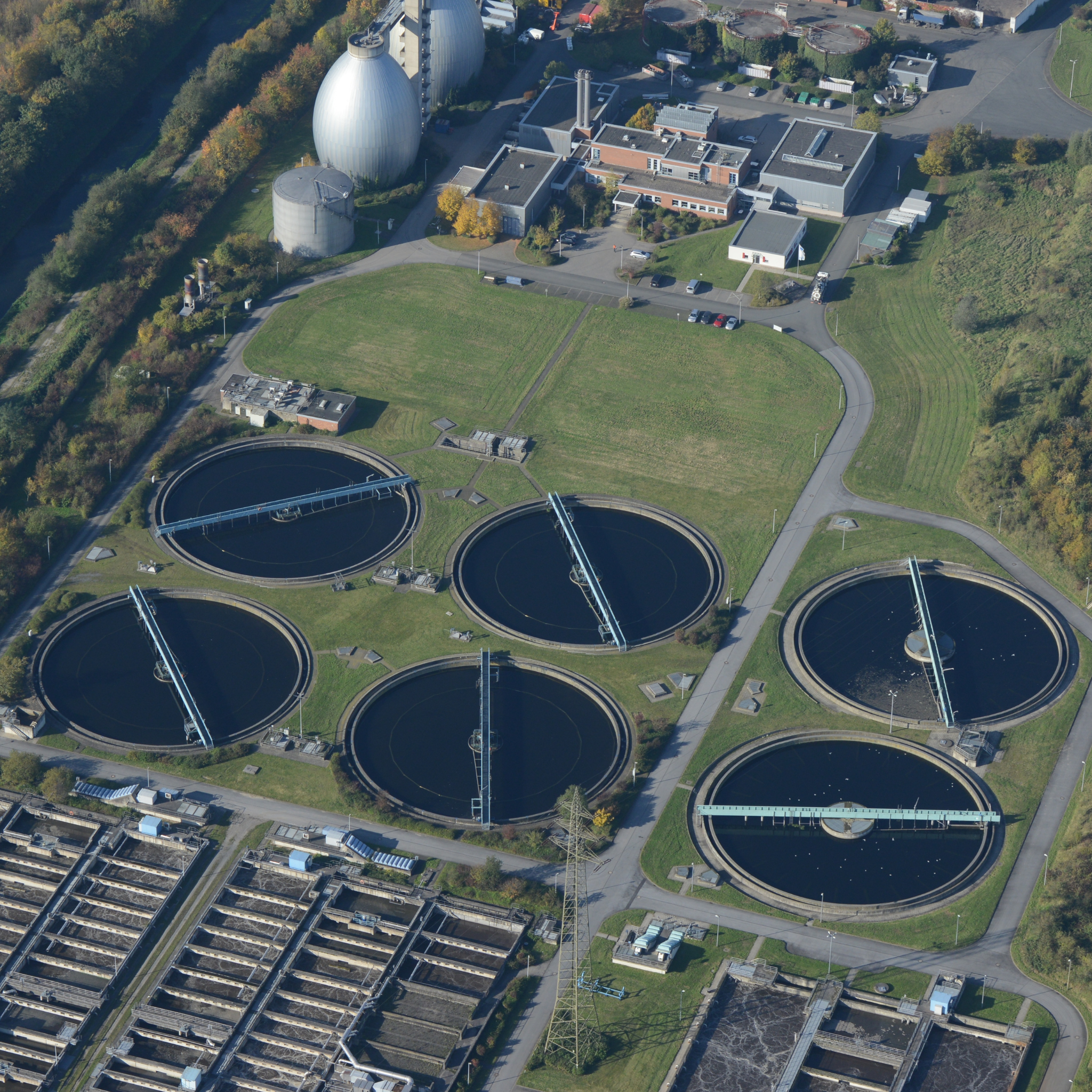
Water treatment plants, wastewater treatment plants, pumping stations, reservoirs, and distribution networks
Ports, rail facilities, transportation areas, and logistics hubs
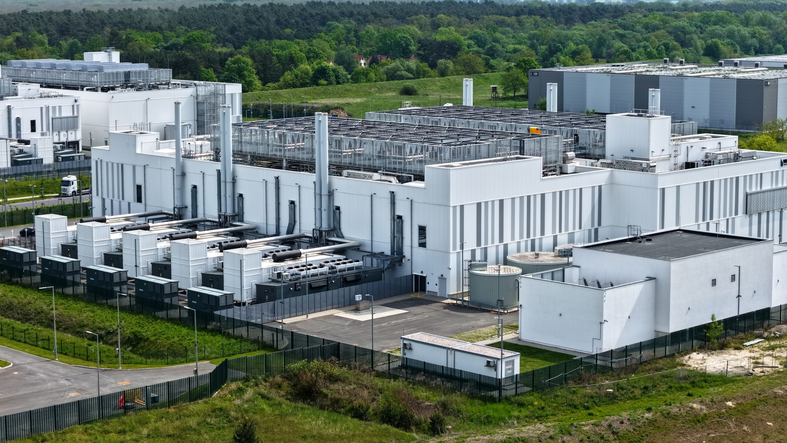
Data centers, network infrastructure, and telecommunications sites
DRONIQ IN PRACTICE
Informed Decisions
for Low-Altitude Airspace
Drone activity over critical infrastructure must not only be detected but also properly assessed. To this end, Droniq combines information about known missions, drones that have actually been detected, and other air traffic to provide a reliable basis for decision-making.
With solutions for drone detection, flight management, and situational awareness, as well as consulting and training, Droniq helps operators take a holistic approach to technical and organizational requirements.
Customer Story:
Rhineland-Palatinate
Real-time air situation updates directly in the operations control center for safe air traffic coordination.
Customer Story:
Civil Protection
Weilheim-Schongau
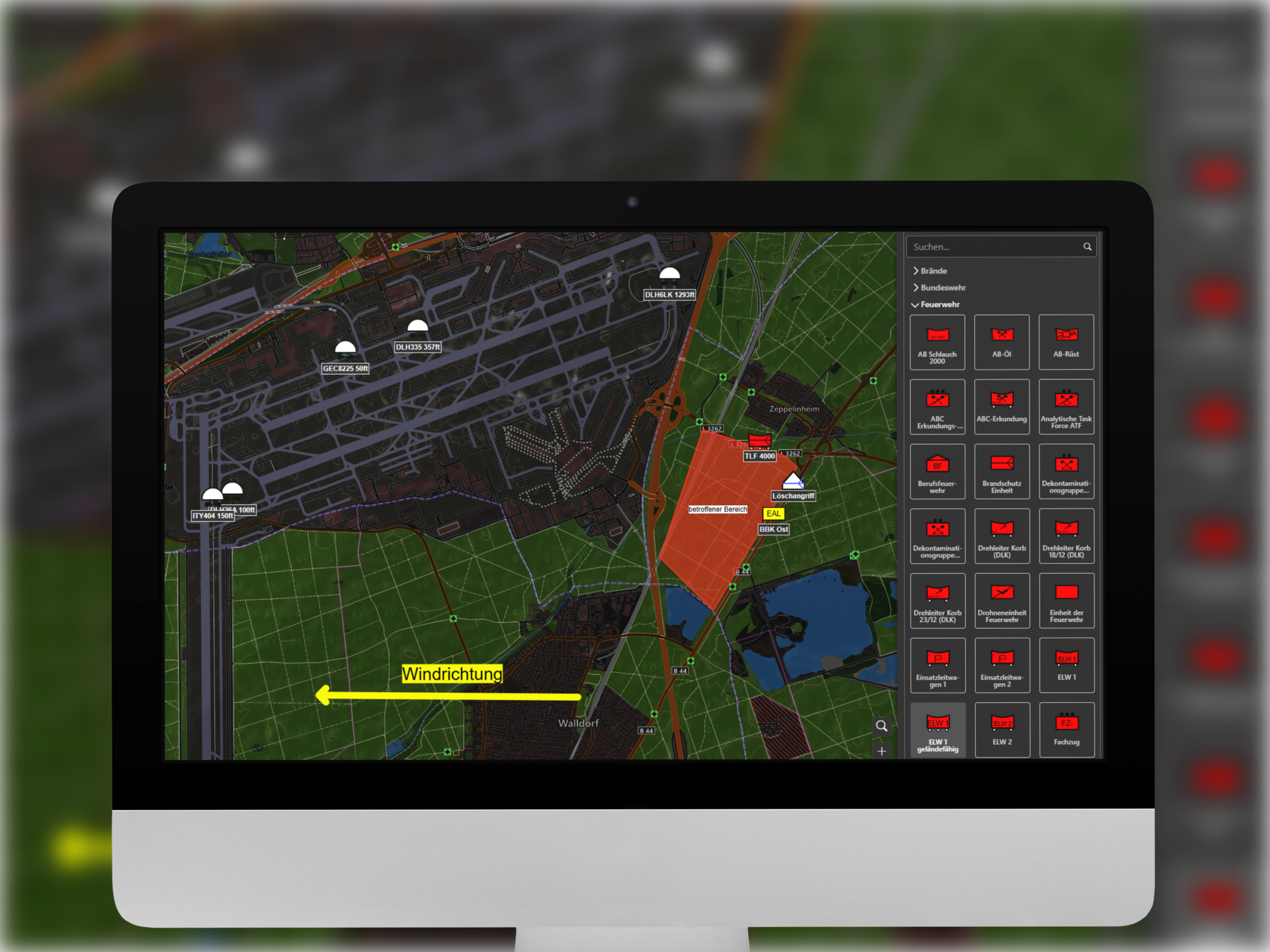
Integrated air situation display in edp:map for greater clarity and safety during operations.
Insights from
based on real-world experience (
)
Solutions:
Explained in Simple Terms:
Why KRITIS operators
rely on Droniq
Holistic Approach
Technology, data, consulting, approval, qualification, and operation are all integrated.
Shared Situation Assessment
Known missions, detected activities, and other air situation information are consolidated.
Modular Solutions
Services and products can be used individually or combined into a comprehensive solution.
Integration Instead of a Standalone Solution
Data and functions can be integrated into existing control centers, operations centers, and security systems.
Aviation and Operational Expertise
Droniq combines regulatory expertise with experience gained from professional drone projects.
Organizational Capability
Technology is complemented by secure processes, clear lines of responsibility, and qualified employees.
WHICH SOLUTION IS RIGHT FOR YOUR INFRASTRUCTURE?
Whether it's protection against unknown drones, integration of real-time air situation data, or setting up your own drone operations: Our experts will work with you to analyze your site's requirements and identify potential next steps.
During the initial consultation, we will discuss:
- Which challenges and use cases are relevant to you?
- What are the technical and regulatory requirements?
- What solutions and operating models are viable?
Frequently Asked Questions About Threat Solutions for KRITIS
Why are drones relevant to critical infrastructure?
What is the difference between drone detection and drone defense?
Is it possible to distinguish between known and unknown drones?
What information does Droniq's aerial situational awareness provide?
Can Droniq data be integrated into existing systems?
Does Droniq also provide support when using our own drones?
What role does the Droniq Academy play?
Does Droniq provide assistance with permits?
Is the solution also suitable for multiple locations?
How do you get started on a KRITIS project with Droniq?
Why is airspace transparency important for critical infrastructure?
The increase in drone traffic creates new opportunities, but at the same time raises the bar for safety and situational awareness. Operators of critical infrastructure must be able to identify which activities are taking place in airspace, which of these are known, and where there may be a need for action.
Not every drone poses a security risk. Why should I still take action?
Detecting a drone does not automatically mean there is a threat. The key is the ability to distinguish between known and authorized activities and unknown or suspicious events. Only then can situations be assessed in an informed manner.
How does Droniq support operators of critical infrastructure?
Droniq integrates flight management, drone detection, and air situation information into a unified situational picture. This provides transparency regarding which activities are known and authorized, which are actually taking place, and where action is needed.
For which KRITIS sectors is this solution suitable?
Droniq supports operators in sectors such as energy supply, water management, telecommunications, industry, transportation, and logistics, among others. The solution is particularly relevant in situations where transparency regarding activities in airspace is required.
What is the difference between flight management and drone detection?
Flight management provides transparency regarding known and authorized activities. Drone detection reveals actual activities. Only by combining these two types of information is it possible to make an informed assessment of the situation.
What role does the air situation play?
Air situation information helps put activities in low-altitude airspace into the proper context. This allows risks to be better assessed and decisions to be made on a more informed basis.
How does Droniq help set up a professional drone operation?
In addition to technology, Droniq also provides support with certification, permits, and regulatory requirements. This includes, among other things, training, SORA risk assessments, operating permits, and BVLOS plans.
Do organizations need their own drones to use this solution?
Not necessarily. Depending on the specific application, different components can be combined—ranging from airspace transparency and drone detection to professional drone programs and automated missions.
How can I figure out which solution makes sense for my location?
The requirements vary depending on the KRITIS sector, location, and security level. During a consultation, we work with you to analyze your current situation and identify which measures and solutions offer the greatest value.