


































MAINTAINING AN OVERVIEW OF AIRSPACE
MyZone Suite -
Drone Detection &
UAS Flight Management
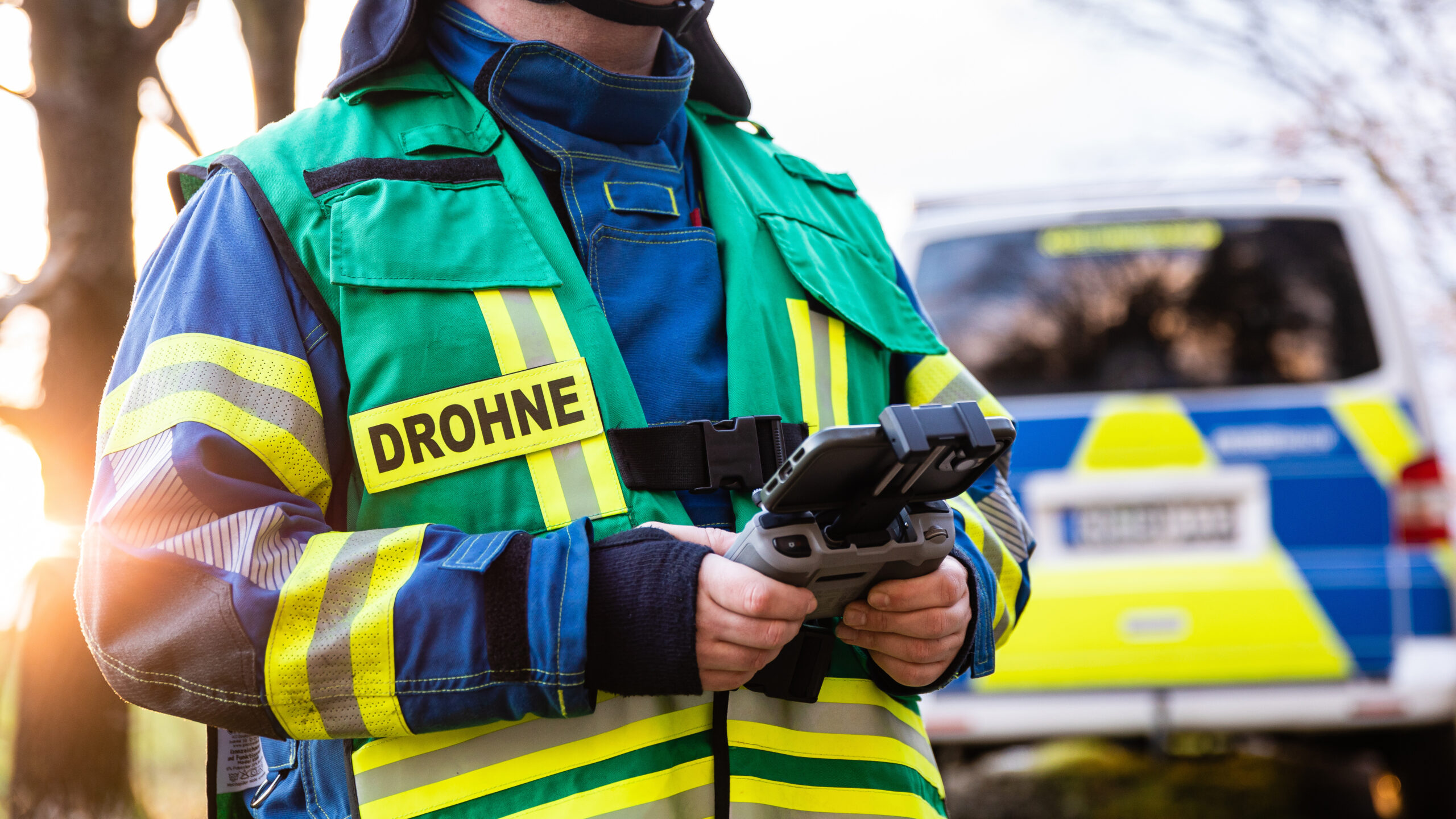
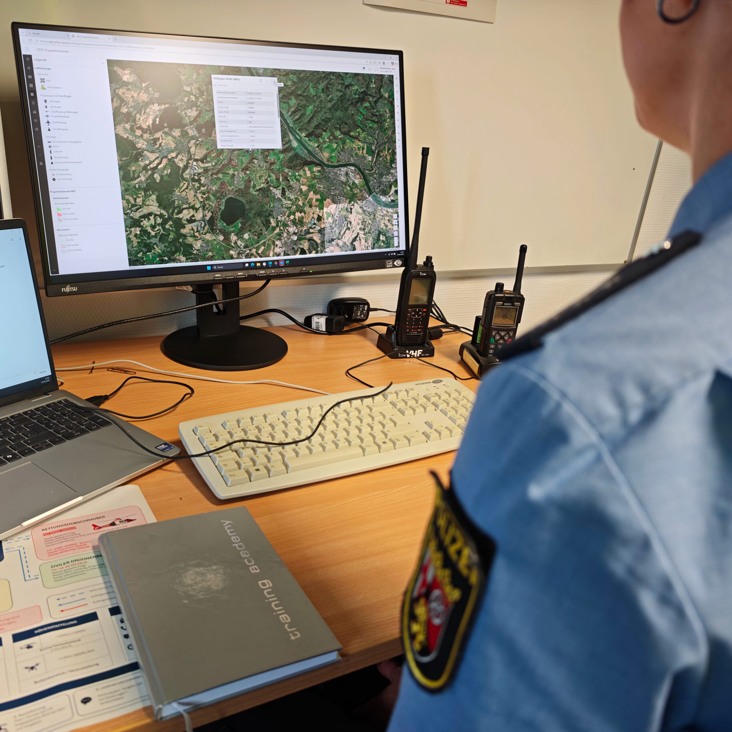
The MyZone Suite provides a unified situational awareness of airspace and helps decision-makers assess drone activity, digitize processes, and make informed decisions.
For cities, municipalities, and critical infrastructure

The MyZone Suite combines drone management and drone detection into a single solution.
With the two modules, MyZone Manager and MyZone Detection , cities, municipalities, critical infrastructure operators, and security managers gain the transparency they need to make informed decisions.
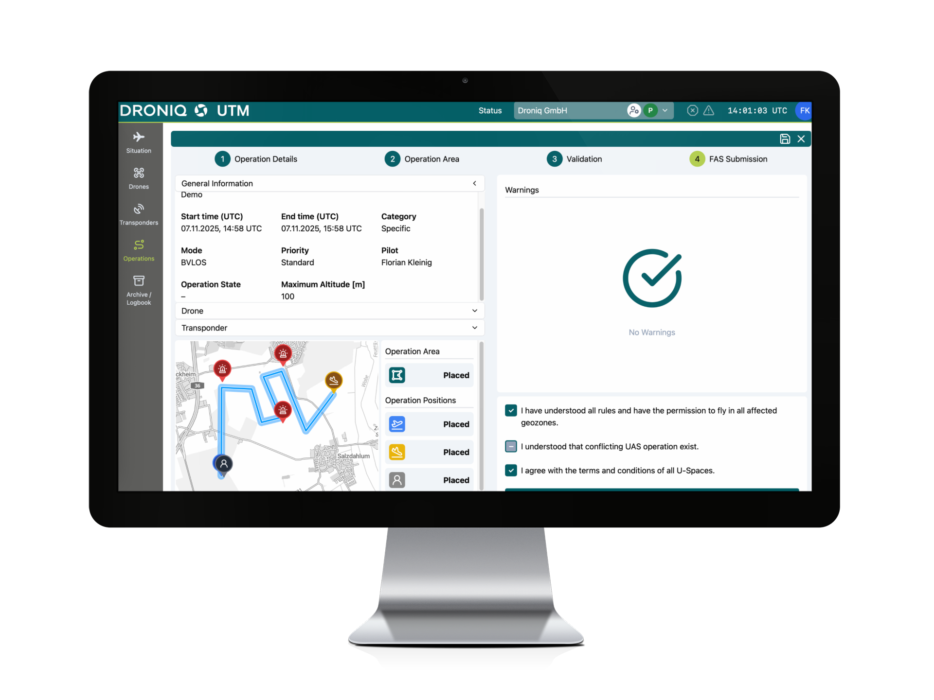
- Manage Approved Flights Digitally
- Flexibly Define Sensitive Areas
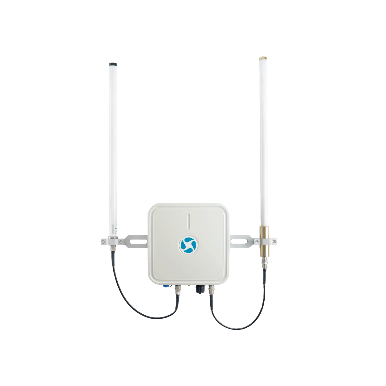
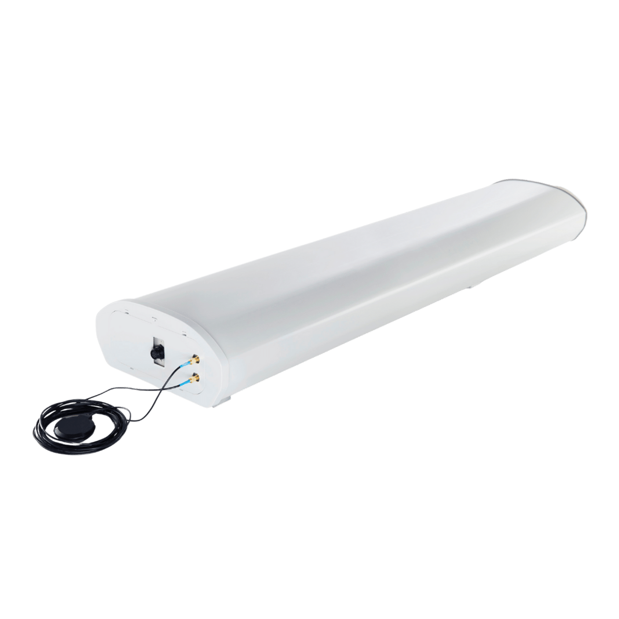
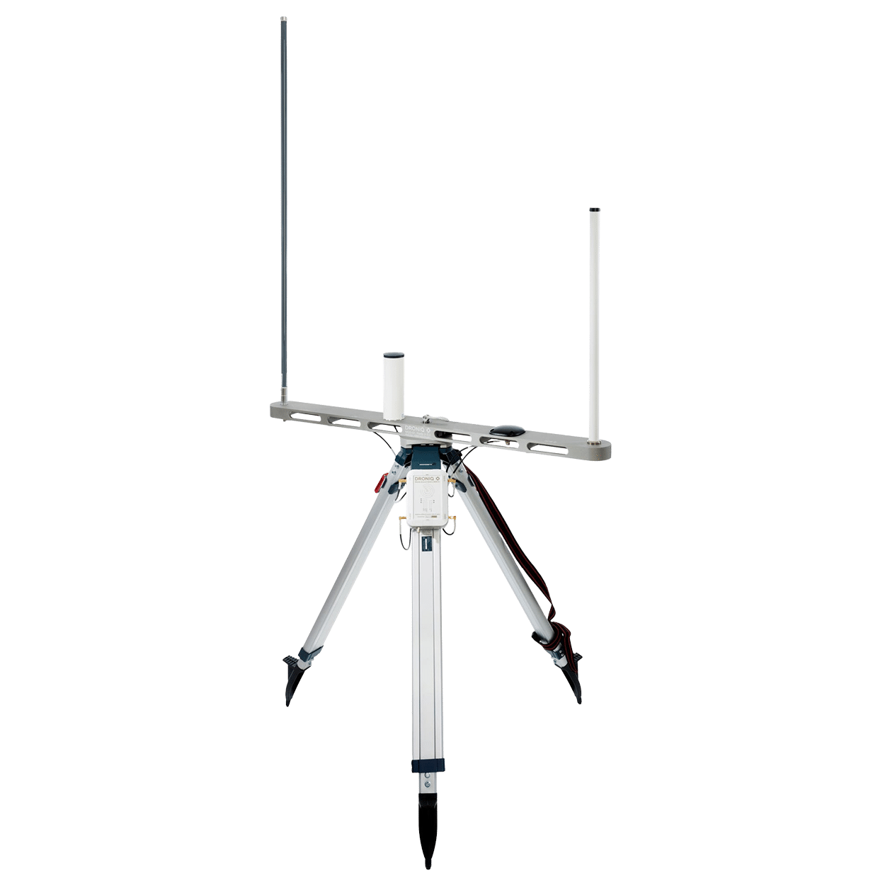
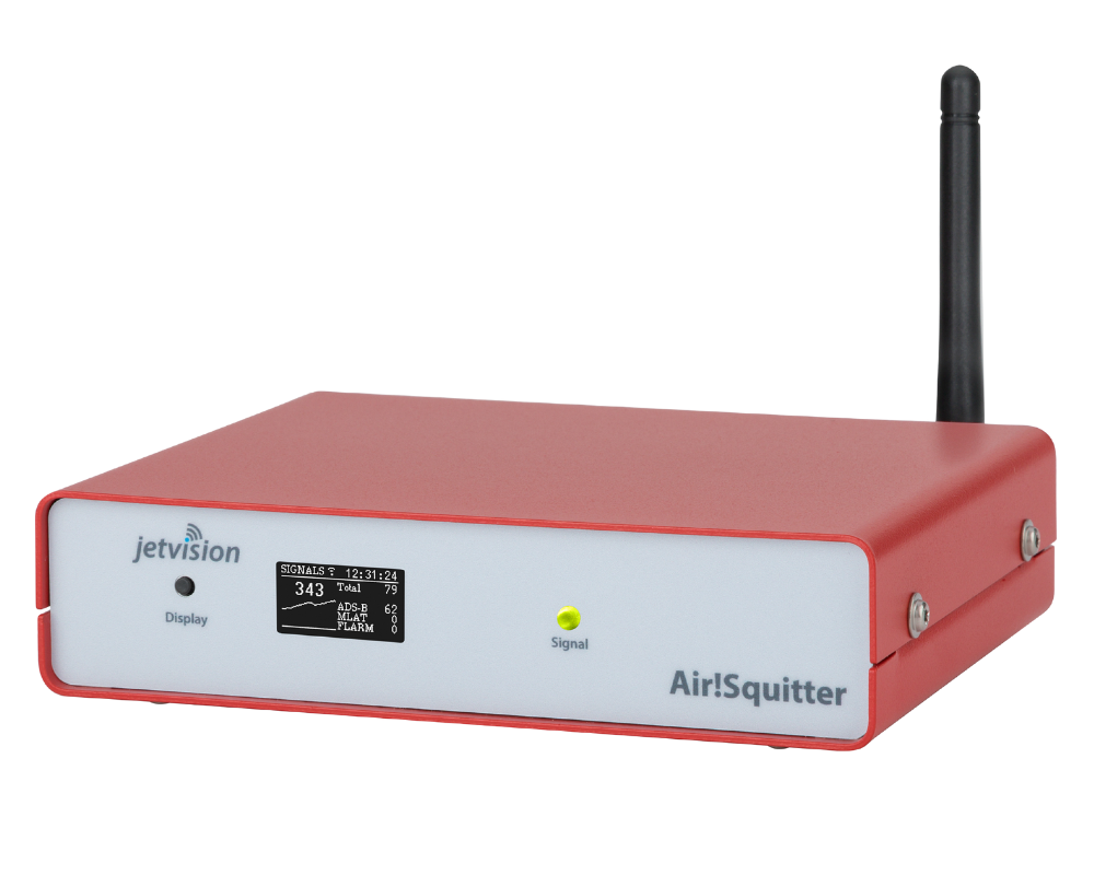
- Detecting Drone Activity
- Establishing a Shared Understanding of the Situation
TWO MODULES.
A SHARED OVERVIEW.

Module:
MyZone Manager
Manage known drone activities transparently.
HOW THE MYZONE SUITE
SUPPORTS YOUR DECISIONS IN THE AIRSPACE


MyZone Manager
MANAGE DRONE FLIGHTS
Digitally register and approve missions
Centrally review and document requests.
Define sensitive areas
Set up zones for events, markets, or other occasions.
Stay on top of things
View all approved flights and relevant information in one place.

MyZone Detection
Detecting Drone Activity
Monitor Areas
Continuously monitor relevant zones.
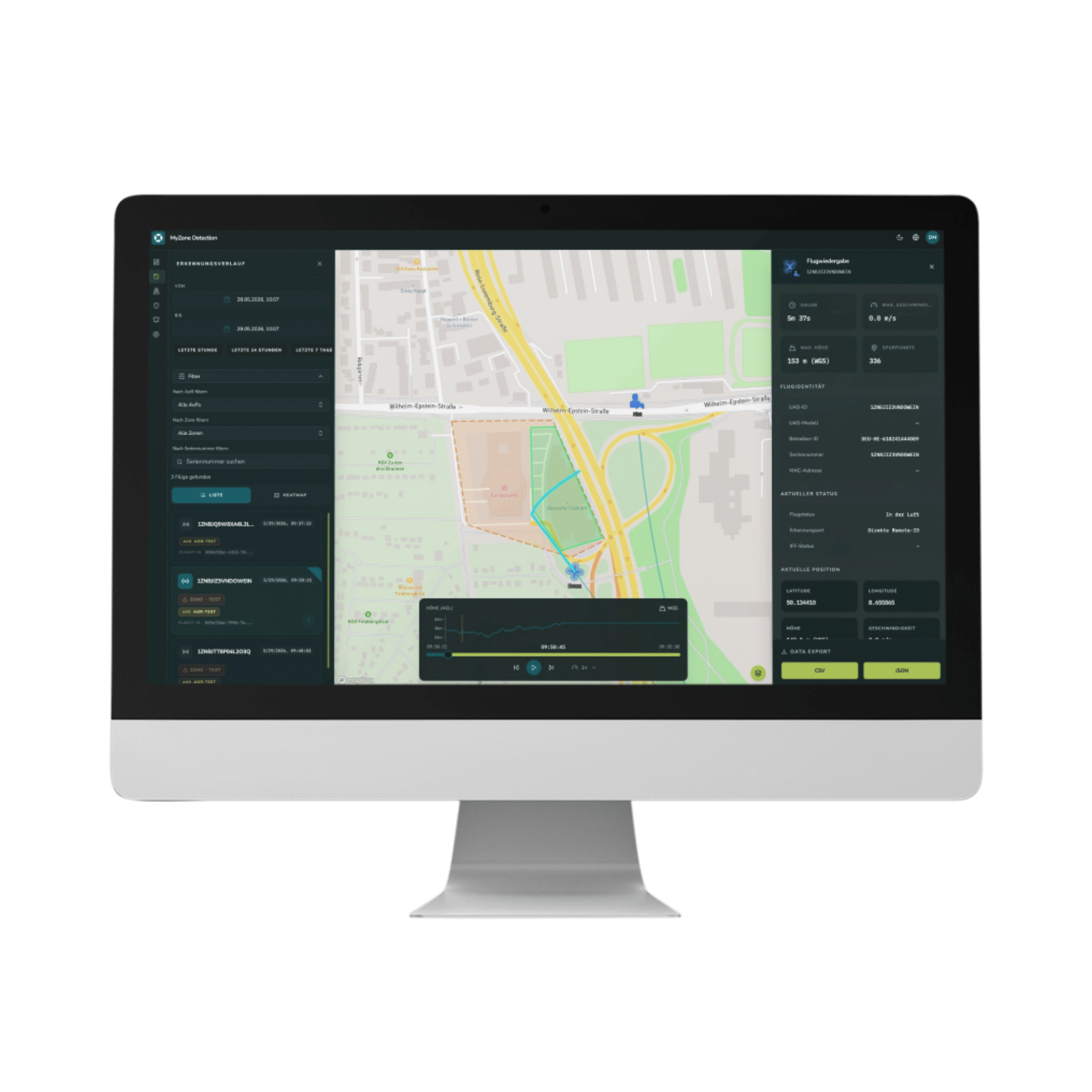
Visualizing drone activity
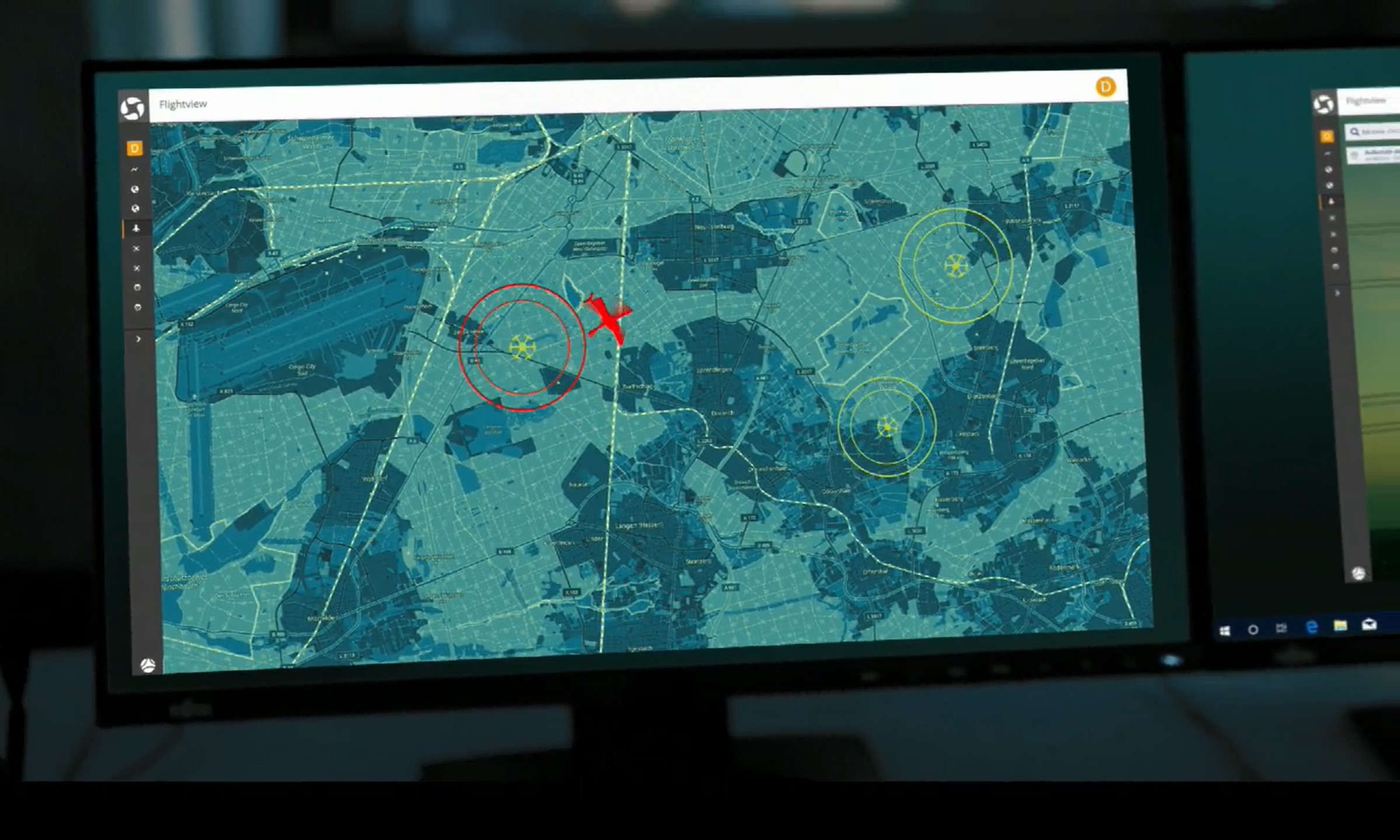
Display detected activities in the situational overview.
Automatic Alerts
Receive notifications for relevant events.
Shared Situation Assessment
Making Informed Decisions
Consolidate information
Known flights and detected activities in a single view.
Assess situations more quickly
Establish a common framework for situation assessments.
Empowering Decision-Making
Decision-makers receive exactly the information they need.
WHO IS THE MYZONE SUITE FOR?
The Solution for Cities, Critical Infrastructure, and Security Professionals

Cities & Municipalities
Digitally manage and coordinate drone flights.
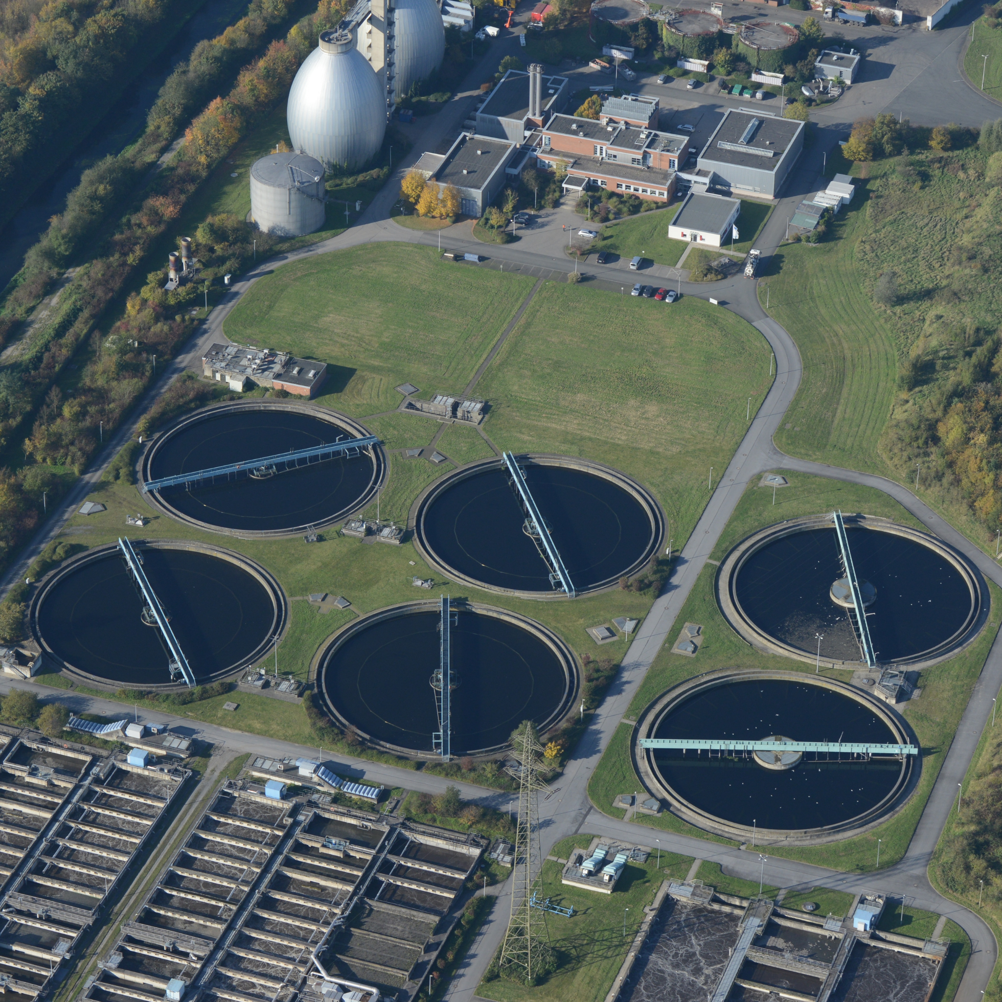
Critical Infrastructure
Monitor sensitive areas and detect activity.

Airports & Security Officials
Make well-informed decisions based on a clear understanding of the situation.
Stay on top of things. Right where it counts.
CHECK IN SECONDS AT
TO SEE IF
YOUR FLIGHT
IS AVAILABLE
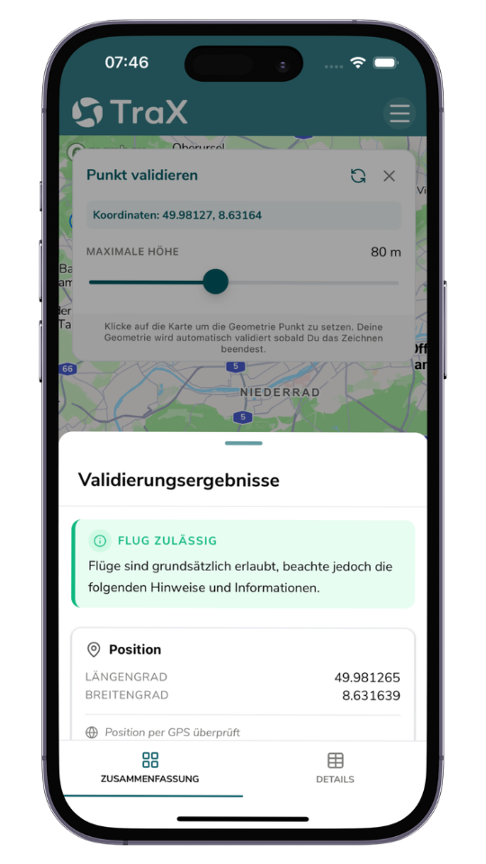
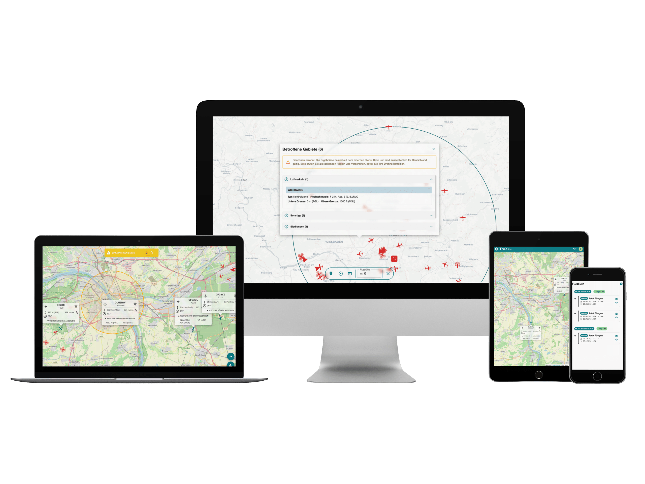
With TraX, you can immediately see which geofences, flight restrictions, and notices apply to your location. This allows you to determine before takeoff whether a drone flight is possible and which rules you must follow.
Make the "
" flight area visible
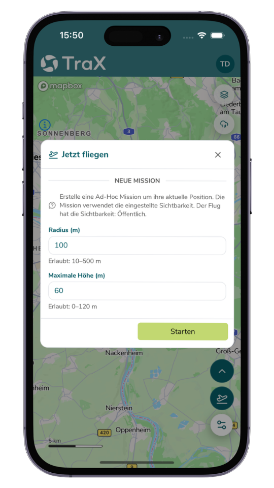
With "Fly Now," you make your active flight zone visible to other airspace users. This creates greater transparency in the airspace and promotes safe drone flights.
Air Travel
SEE NEARBY
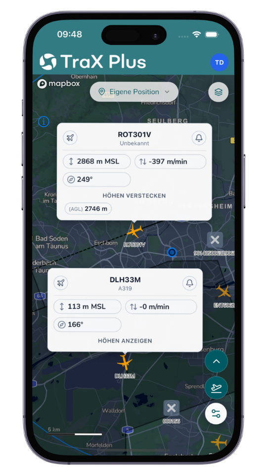
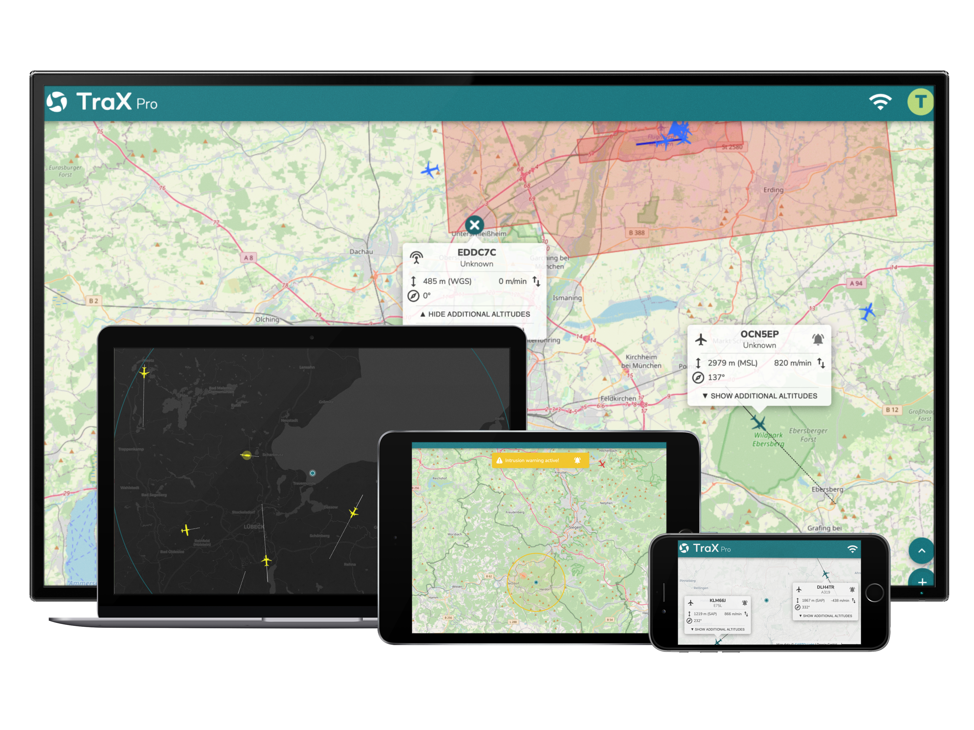
Depending on your subscription plan, TraX displays real-time air traffic data for your operational area. This allows you to better understand airspace activity and make more informed decisions.
Get early warnings at
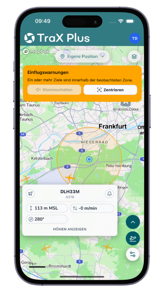
TraX keeps you informed about relevant developments in airspace, such as unexpected aircraft entering your monitored area. This allows you to identify risks more quickly and respond in a timely manner.
Weather information at
to help you make better flight decisions at
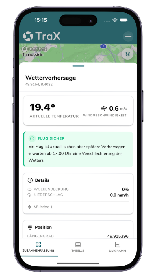
Use weather data directly in the drone app to better prepare for your flights and assess risks early on.
HOW MUCH TRANSPARENCY DOES YOUR AREA OF RESPONSIBILITY REQUIRE?
CREATING A SHARED UNDERSTANDING OF THE SITUATION
MyZone Suite
An overview rather than isolated pieces of information:
- MyZone Manager provides visibility into known and approved flights.
- MyZone Detection supplements this view with detected drone activity within the defined area of responsibility.
Only the combination of both modules provides a comprehensive overview of the airspace.
MANAGE KNOWN FLIGHTS
MyZone Manager
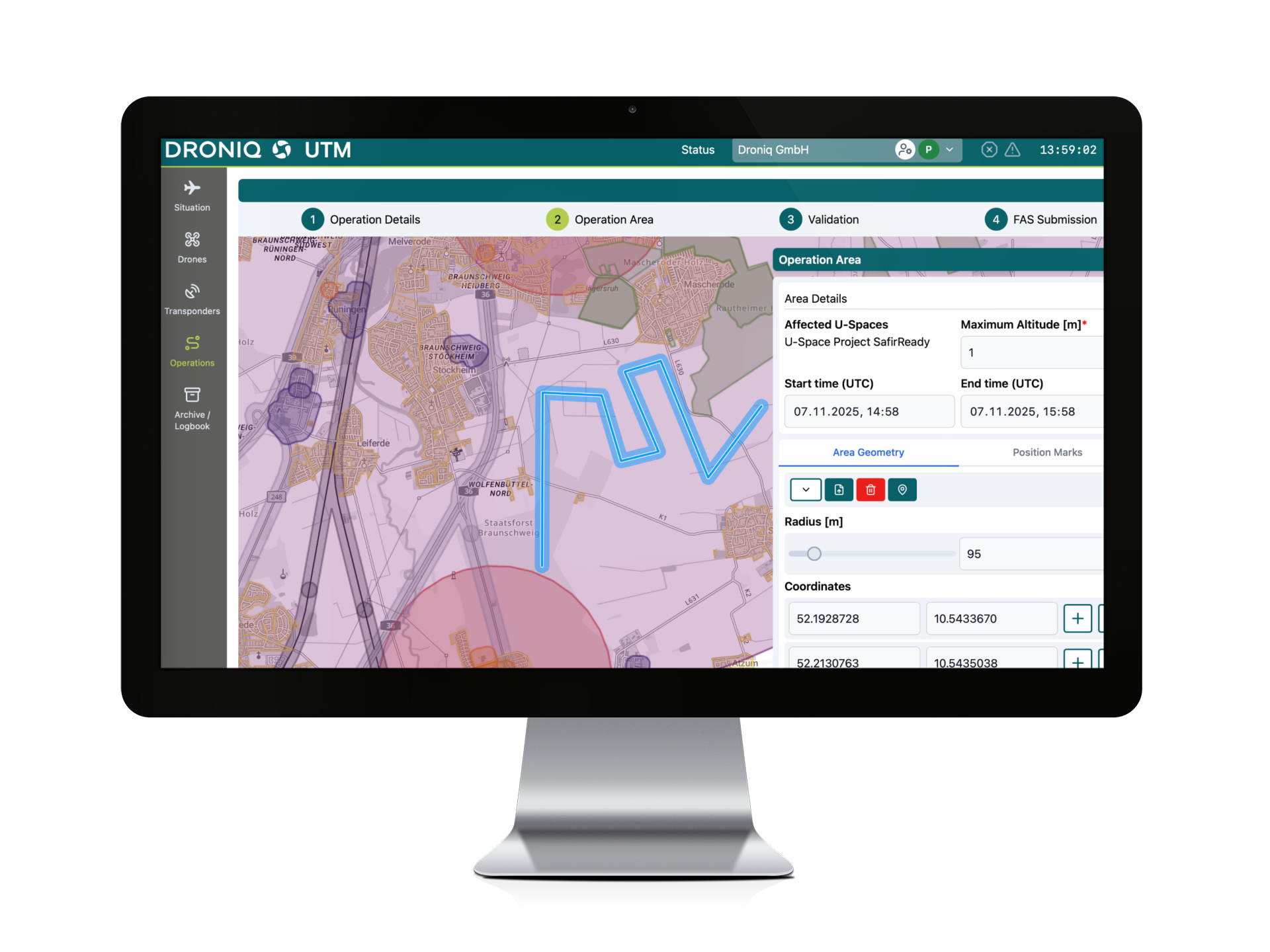
With MyZone Manager, cities, municipalities, and infrastructure operators can manage drone flights in a structured manner:
- Register Flights Online
Pilots register their flights online. - Centrally Manage Approvals
Requests can be reviewed, approved, and documented. - Tracking Responsibilities
Every flight can be clearly assigned to a responsible pilot. - Share information
. Information can be easily shared with the City Code Enforcement Office, the police, or other relevant parties. - Define sensitive areas
For example, for events, markets, or temporary operations.

DETECTING DRONE ACTIVITY
MyZone Detection
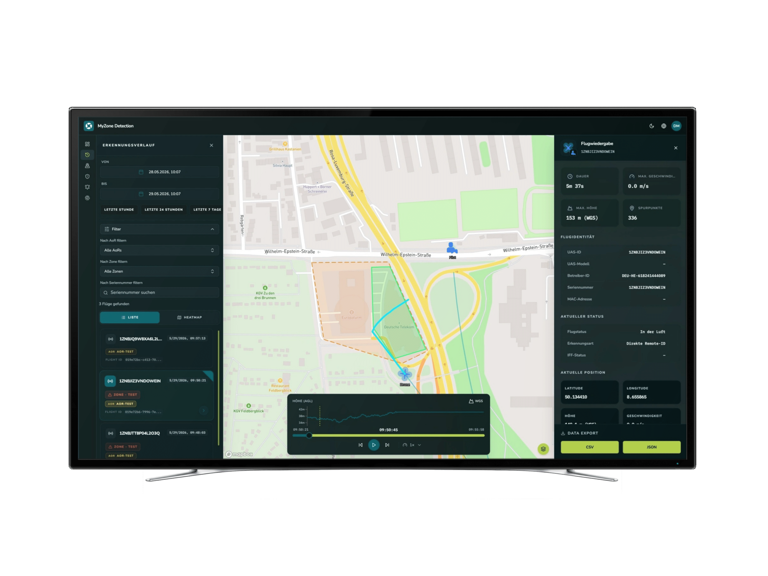
Not all drone activity is communicated in advance. MyZone Detection helps those in charge make airspace activity visible:
- Monitoring Defined Areas
Monitor the areas relevant to your job. - Alerts for Relevant Events
Receive notifications when activity is detected.
Live Situation Map: Track drone activity on a centralized map.
Historical Reports: Analyze and document past events.- Can be integrated into existing systems
For control centers, security platforms, and other applications.
A closer look at TraX's features
With TraX, you can choose the subscription plan that best fits your daily flight operations—from free basic access to advanced features for professional drone operations. This ensures you get exactly the support you need for planning, validation, visibility, and safety in the airspace.
-
 TraX
TraXThe free version of TraX provides you with essential basic features to help you better prepare for drone flights and quickly access relevant information about airspace.
Validation of drone flights in seconds
Check right in the app to see if drone flights are permitted at your desired location. TraX clearly displays relevant regulations, restrictions, and guidelines.
Make the flight section visible with "Fly Now"
Enable your flight area in the app so that other airspace users can see it. This creates greater transparency and helps ensure a safe shared airspace.
Weather information
Use weather data directly in the app to better assess current conditions and make informed decisions before you set off.
Flight log
Keep clear records of your drone flights and manage them in the Mission Center. This makes it easier to track your missions and supports structured flight management. A customer account is required to use this feature.
-
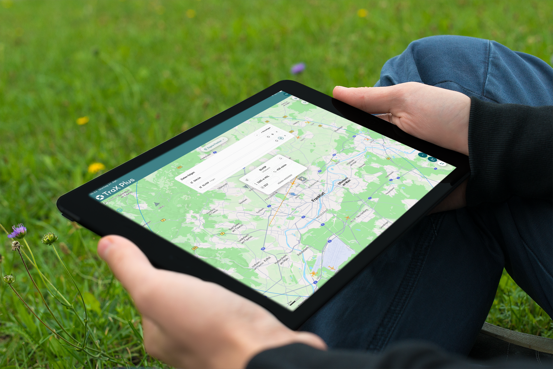
TraX Plus
For anyone who wants to monitor their drone flights more closely. TraX Plus enhances the basic version with live air traffic updates, alerts, and real-time information—starting at €3.49 mthly. customer account is required.
Real-time air situation
Keep track of air traffic within a 20-km radius of your operational area in real time. The live air situation helps you better understand current movements and make more informed flight decisions.
Be warned in advance
Receive alerts about relevant developments in airspace, such as unexpected aircraft entering your monitored area. This allows you to respond more quickly and identify potential risks early on.
Target tracking
Keep a closer eye on relevant objects or movements. This feature supports professional use cases where a precise overview of the operational area is essential.
-
TraX Pro
For professional drone operations, organizations, and operators. TraX Pro offers advanced features for planning, monitoring, and documentation—starting at €39.98 mthly. customer account is required.
Expanded service area
In the future, TraX Pro will display air traffic within a radius of up to 60 km, compared to 20 km in TraX Plus. The new radii will be activated in mid-May upon release.
Collision warnings for your drone
With TraX Pro, you can also receive collision warnings for any aircraft of your choice—such as your own drone.
KML Import
Import KML files into TraX to incorporate your own mission areas, routes, or planning data into your flight preparation. This simplifies more complex missions and supports professional workflows.
Maps and real-time overlays
Use additional overlays to better understand geozones, flight zones, and real-time information directly on the map.

FIND THE RIGHT TRAX PLAN
Whether for recreational flying, regular use, or professional operations, TraX offers the right version to meet your needs—from free use to a customized enterprise solution.
Monthly plan
Annual plan
TraX
TraX Plus
TraX Pro
TraX Enterprise
TraX

Free of charge
Free of charge
Popular
TraX Plus

5.99 € incl. VAT / month
3.49 € incl. VAT / month
TraX Pro

59.99 € incl. VAT / month
39.98 € incl. VAT / month
TraX Enterprise

Upon request
Upon request
NEW starting May 11, 2026
Airspace Check, Weather Info & Flight Log
TraX:
TraX Plus:
TraX Pro:
TraX Enterprise:
Mission Planning & Mission Center
TraX:
TraX Plus:
TraX Pro:
TraX Enterprise:
Real-time air traffic conditions around the airfield
TraX:
TraX Plus:
20 km
TraX Pro:
60 km
TraX Enterprise:
Individual
Collision warnings in the mission area
TraX:
TraX Plus:
TraX Pro:
TraX Enterprise:
Target tracking for greater situational awareness
TraX:
TraX Plus:
TraX Pro:
TraX Enterprise:
Alerts for a selected aircraft
TraX:
TraX Plus:
TraX Pro:
TraX Enterprise:
KML Import for Resource Planning
TraX:
TraX Plus:
TraX Pro:
TraX Enterprise:
Show Airspace Layer
TraX:
TraX Plus:
TraX Pro:
TraX Enterprise:
Advanced Aircraft Display & Filters
TraX:
TraX Plus:
TraX Pro:
TraX Enterprise:
Advanced Settings & Units
TraX:
TraX Plus:
TraX Pro:
TraX Enterprise:
Account & Profile Features
TraX:
TraX Plus:
TraX Pro:
TraX Enterprise:
TraX
TraX Plus
20 km
TraX Pro
60 km
TraX Enterprise
Individual
Monthly plan
Annual plan
For whom?
Recreational and hobby pilots, as well as professional pilots and operators
Where usable?
Germany
Where can I find the TraX app?
App Store, Google Play Store, and as a web app
Costs?
Get started for free—upgrade if needed. The basic version is free. Additional features such as real-time traffic updates and alerts are available through TraX Plus & TraX Pro.
Transparency starts with a clear understanding of the situation
Whether it's a municipality, an airport, or critical infrastructure:
Well-informed decisions require reliable information.
The MyZone Suite provides transparency in airspace and helps decision-makers consolidate known and detected drone activities into a shared situational picture.
Ready for more transparency in airspace?
Learn how the MyZone Suite helps cities, municipalities, and infrastructure operators manage drone flights and provide visibility into drone activities.
Frequently Asked Questions About the MyZone Suite
Below is a selection of frequently asked questions.
What is the MyZone Suite?
The MyZone Suite combines drone management and drone detection into a single solution. It consists of two modules— MyZone Manager and MyZone Detection —and helps those in charge ensure transparency and maintain an overview of airspace.
What is the difference between MyZone Manager and MyZone Detection?
MyZone Manager is used for the digital management of drone flights. Flights can be registered, reviewed, approved, and documented.
MyZone Detection supplements this information by detecting drone activity in defined areas and displays it in a situational overview.
Can MyZone Manager and MyZone Detection be used independently of each other?
Yes. Both modules can be used individually.
However, the greatest added value comes from combining both modules, as known flights and detected activities can be analyzed together.
For which organizations is the MyZone Suite suitable?
This solution is specifically designed for:
- Cities and Municipalities
- Critical Infrastructure
- Airports
- Security Officers
- Industrial and Logistics Sites
- Authorities and Organizations with Security Responsibilities (BOS)
What are the benefits of digital management of drone flights?
Digital processes create transparency, reduce administrative burdens, and enable centralized documentation of requests, approvals, and flight information.
Can sensitive areas be defined in the system?
Yes. Areas such as events, temporary operations sites, or other sensitive zones can be defined and managed. This information can be incorporated into the planning and evaluation of drone activities.
What types of drone activity can MyZone Detection detect?
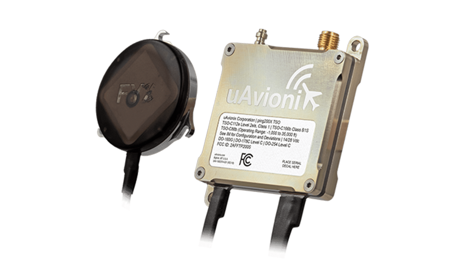
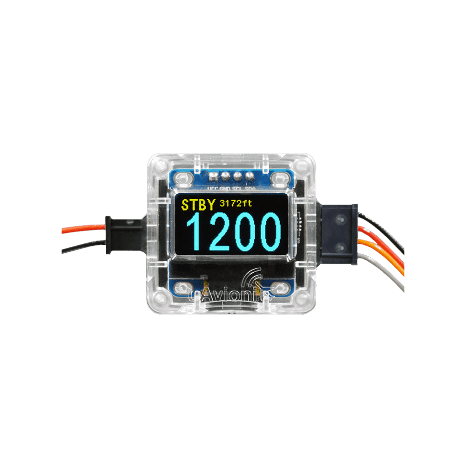
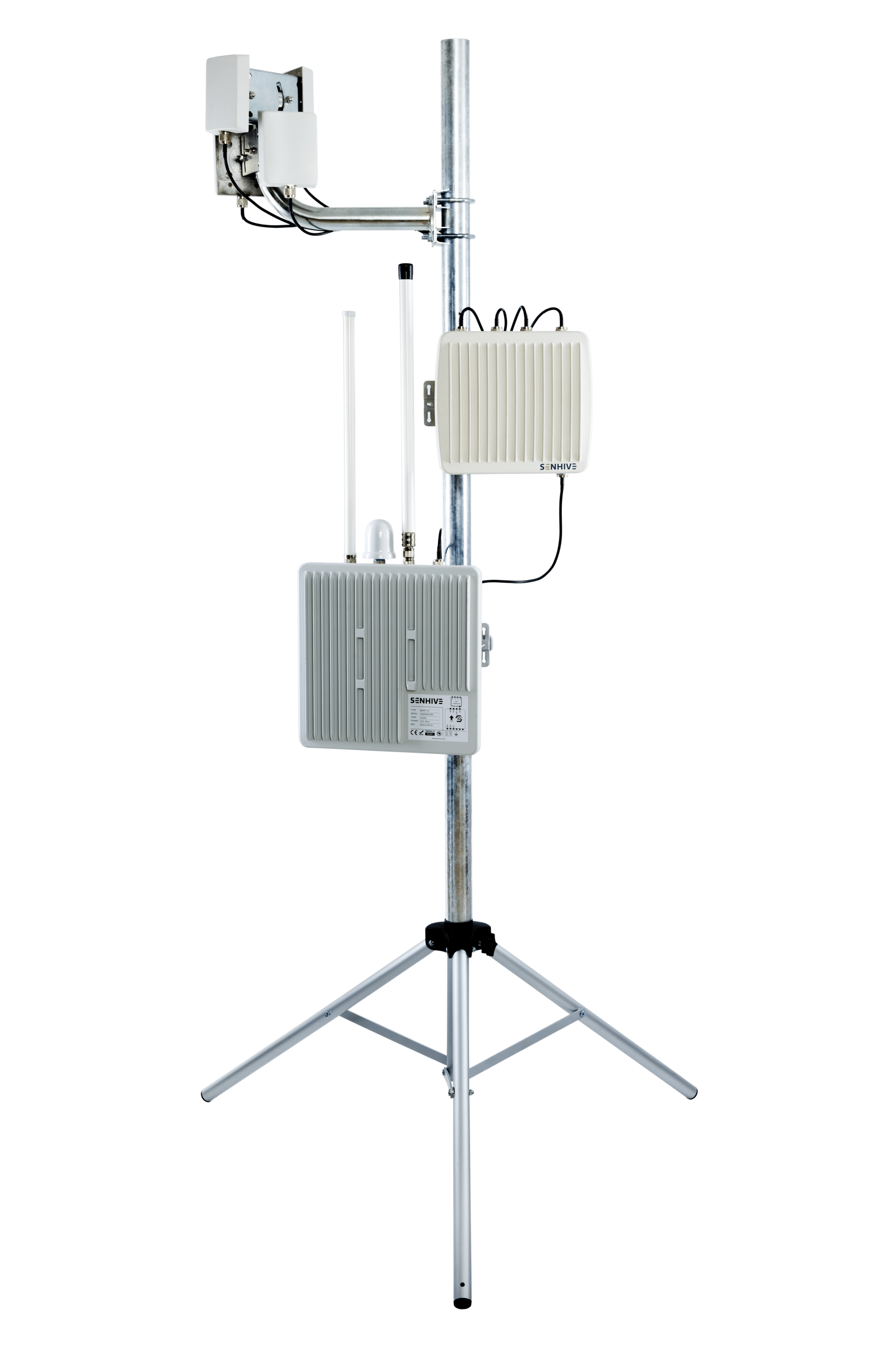
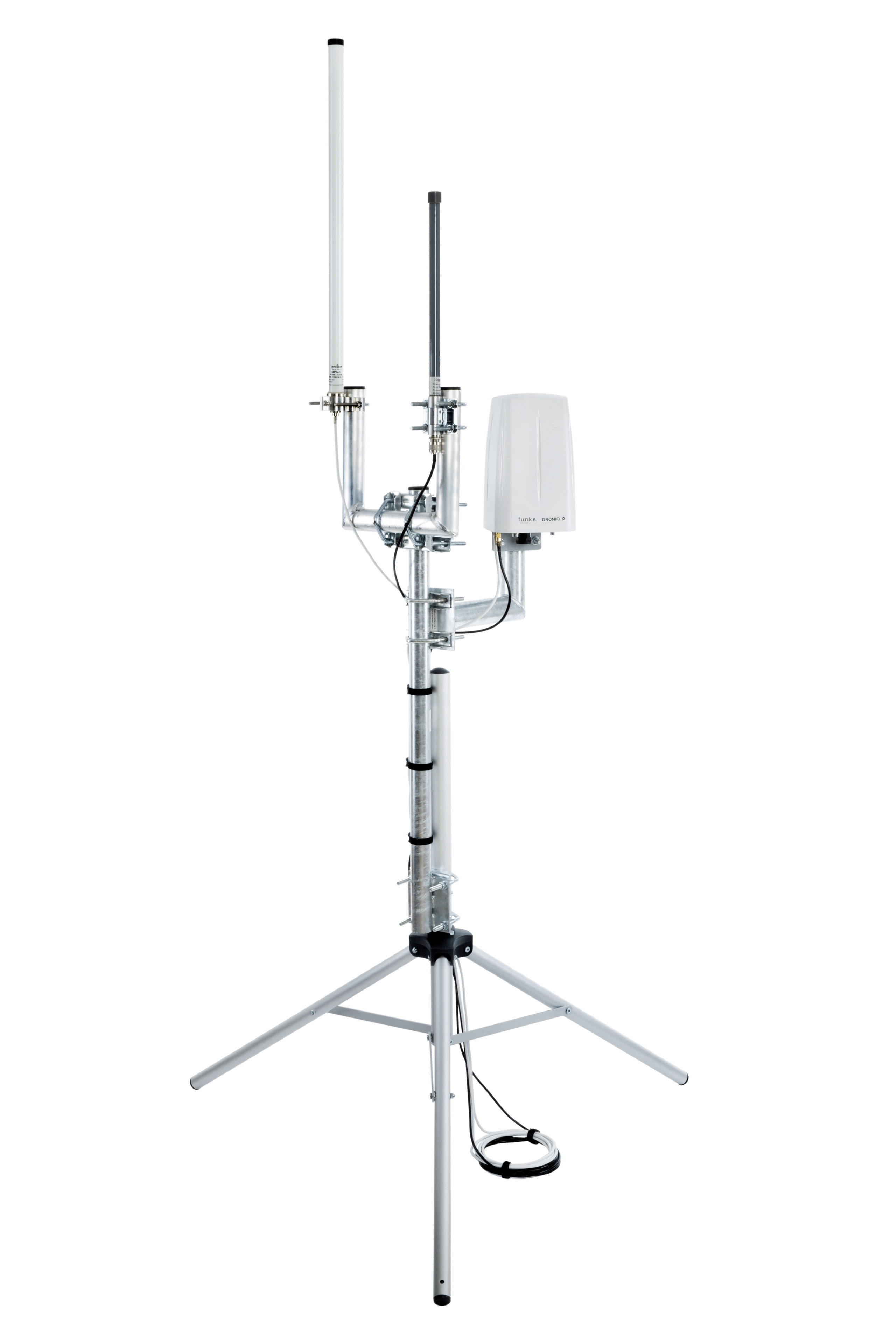
MyZone Detection supports the detection of drone activity based on the available detection methods. Detection capabilities depend on the technical conditions and the infrastructure in use.
Does using MyZone Detection require a dedicated sensor infrastructure?
The specific design depends on the particular use case and application area. Droniq provides personalized advice on the appropriate technical requirements.
Can existing security or control center systems be integrated?
Yes. MyZone Detection is designed for integration into existing systems and can provide information for situational awareness and operational processes.
How can the MyZone Suite be tested?
Interested organizations can request a personalized consultation or product demonstration. During these sessions, the capabilities of the MyZone Suite will be presented based on the specific use case.