At a glance
The goal
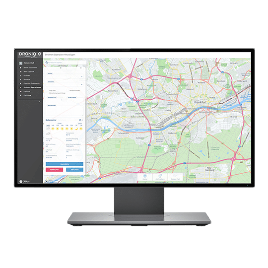
Surveying and inspecting construction sites as well as checking the progress of construction can be carried out faster, more accurately and economically more efficiently by drone. In practice, however, this is often more complex than in theoretical considerations. After all, before takeoff, flight permits must be obtained, necessary documents such as drone operator's licenses must be submitted, projects must be outlined, and collision hazards must be ruled out. Especially if the drone is to be launched in an inner-city area, there are strict requirements that have to be met.

The implementation
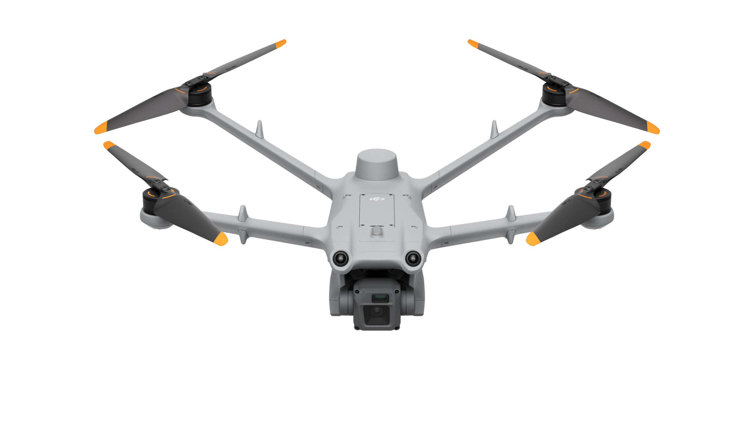
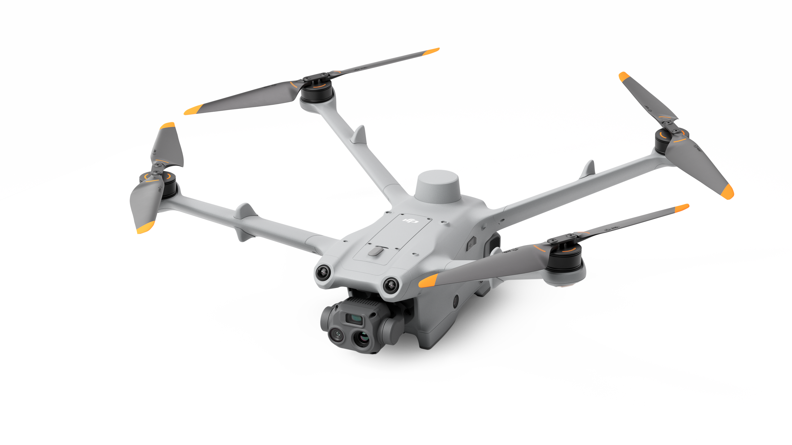
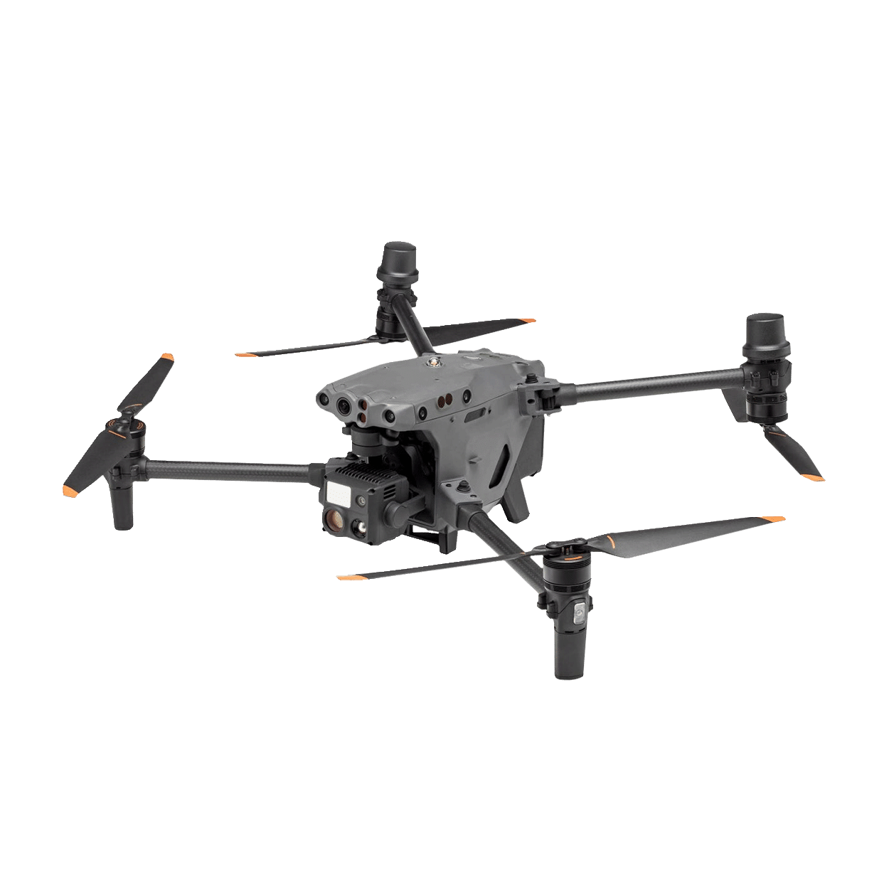
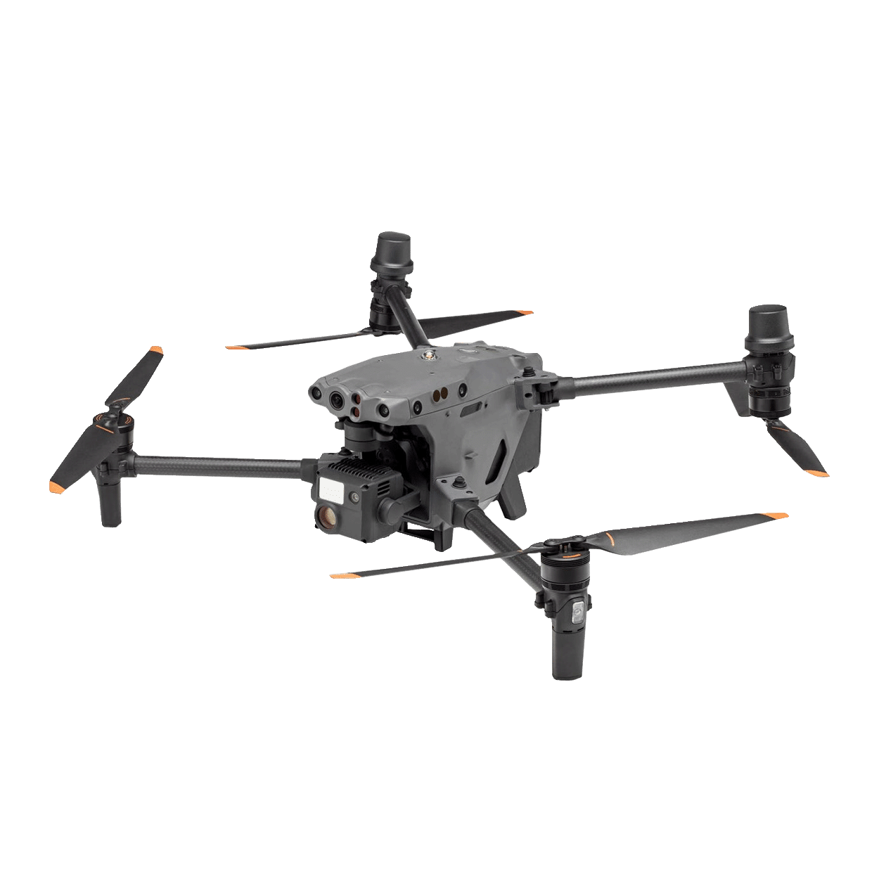
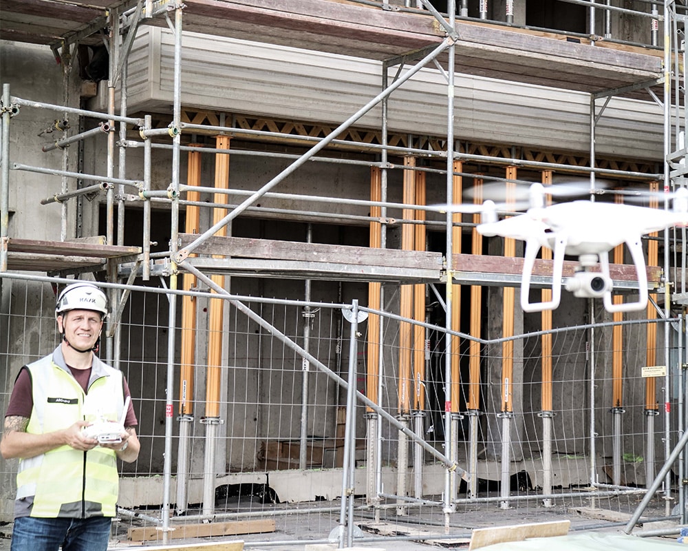
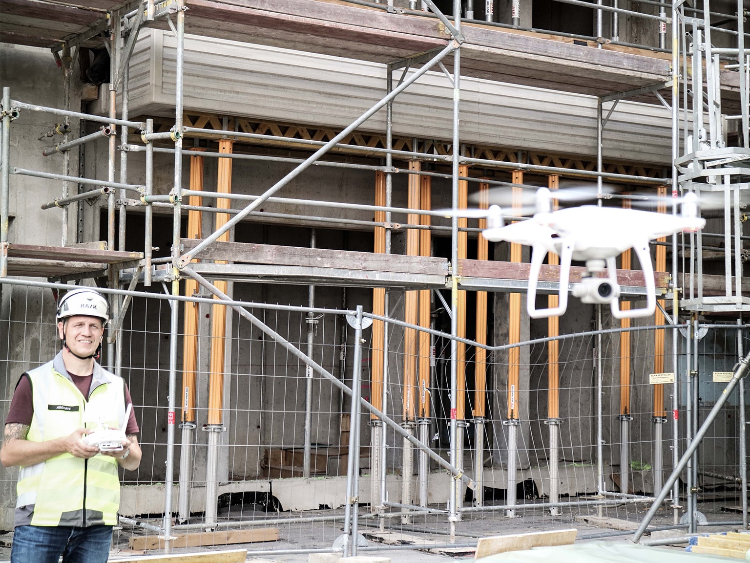
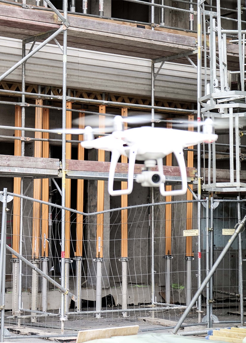
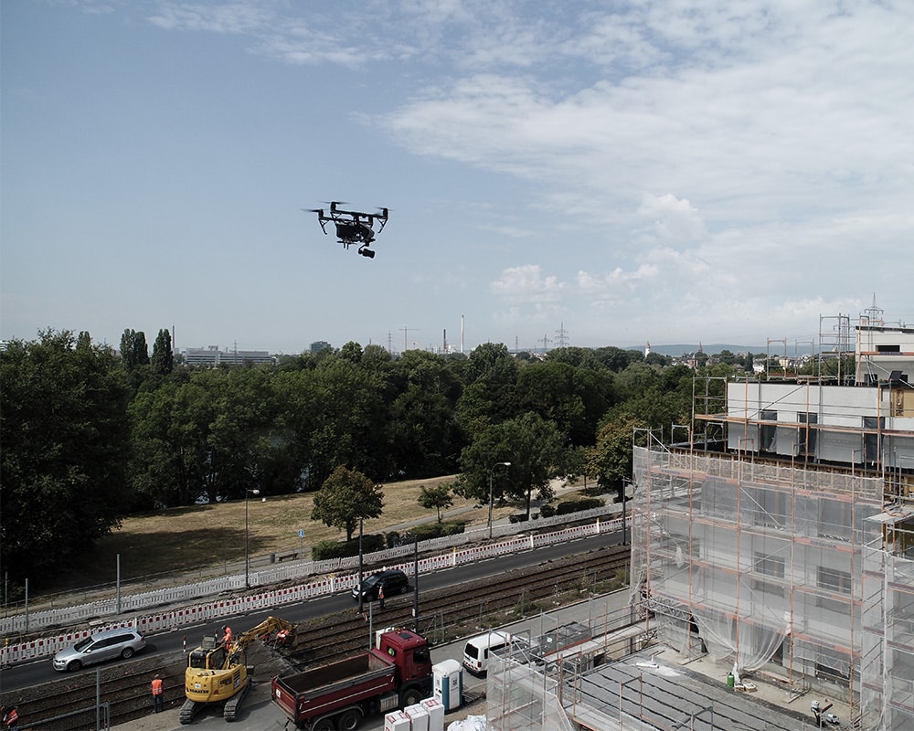
ABGnova regularly flies over various construction sites in Frankfurt to check and document the construction progress. Especially in inner-city areas, the requirements for drone flights are enormously high. To limit the safety risk in the air, ABGnova relies on Droniq's UTM service. For ABGnova, the use of UAS is a real efficiency gain: twelve roofs were flown by drone in just two afternoons - this would have taken two employees three days using conventional methods. In addition to this increased efficiency, drone flight also opens the door to new technical applications for ABGnova. In the meantime, hundreds of photos are taken of properties and a 3D point cloud is created from them. On this basis, potential analyses of photovoltaic systems can then be carried out, for example.
Our contribution
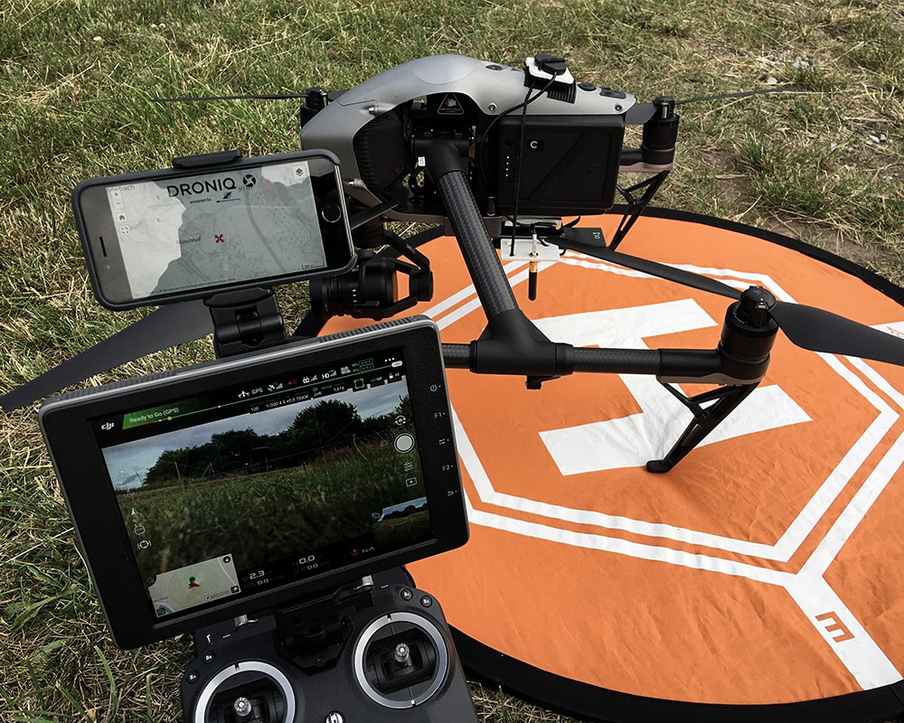
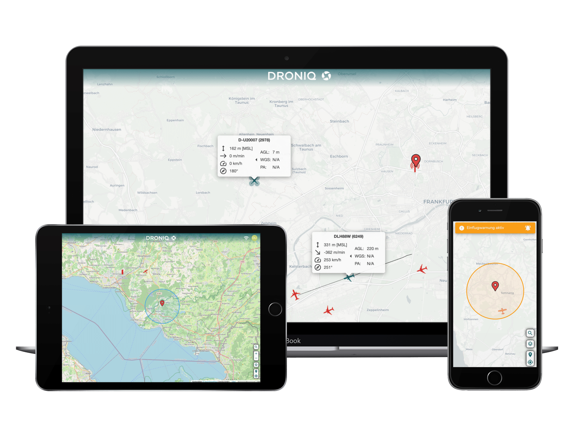
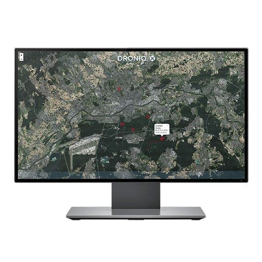
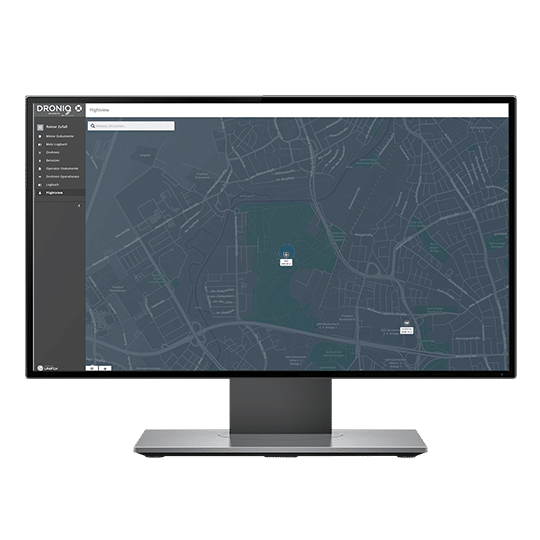
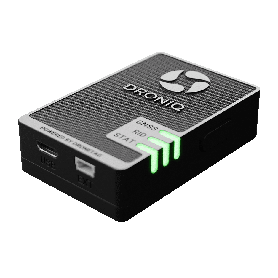
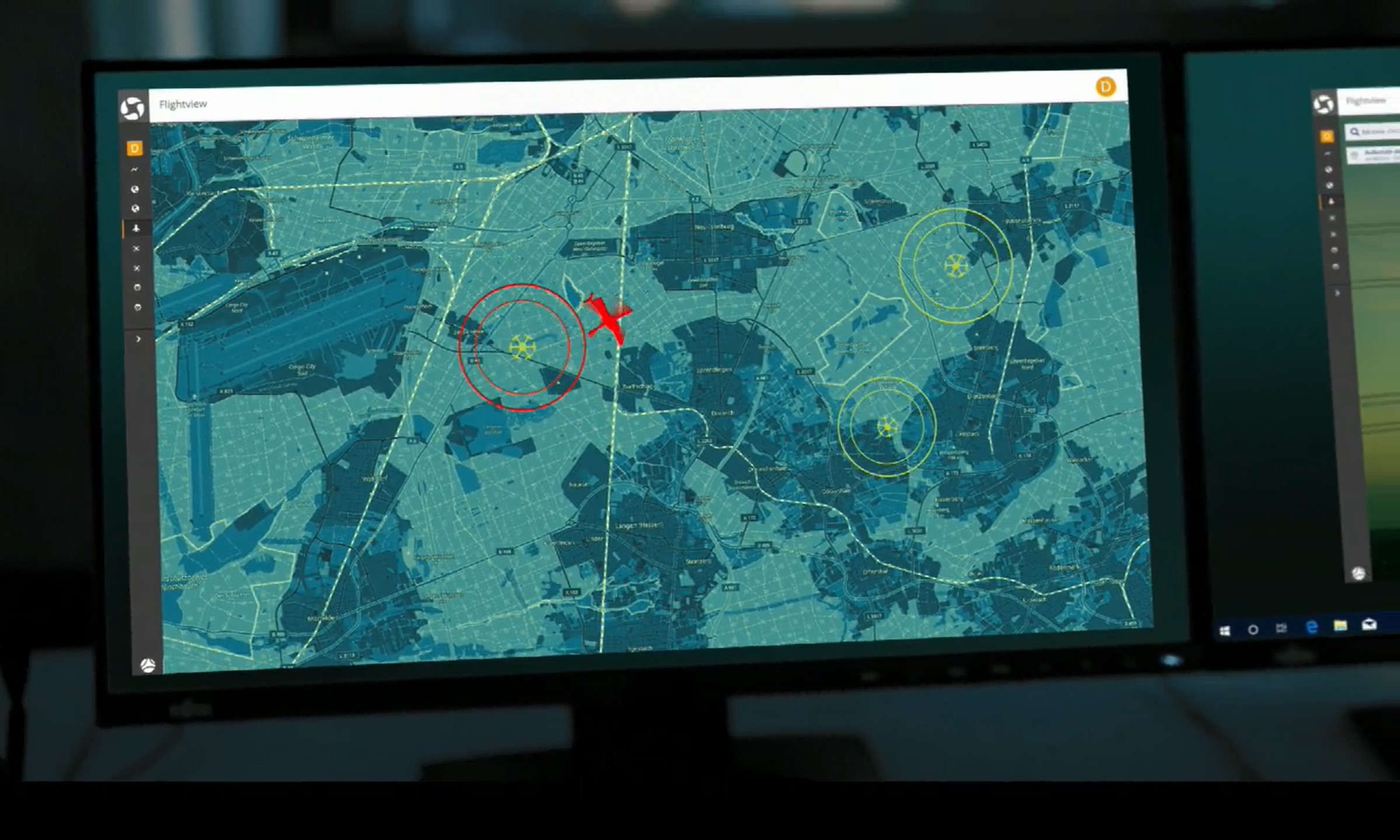
Droniq provided the UTM service (UAS Traffic Management System) for the display of the aerial situation. For this purpose, the ABGnova drones were equipped with a "HOD4track" (Hook-on-Device), a small LTE module with integrated SIM card and GPS receiver. Via Deutsche Telekom's mobile network, the HOD4track reported the aircraft's current position to Droniq's UAS Traffic Management System (UTM). Via a web display, the drone pilot always received the current aerial situation image with the live position of his drone. Position data of relevant manned and unmanned air traffic in the vicinity was also shown in the UTM. Thanks to this combined air situation display, the ABGnova UAS pilot was able to react immediately to possible approaching rescue helicopters and land his aircraft accordingly - even before the aircraft was physically in sight.
