20% promotional discount with the voucher code DQ4ACADEMY24 on
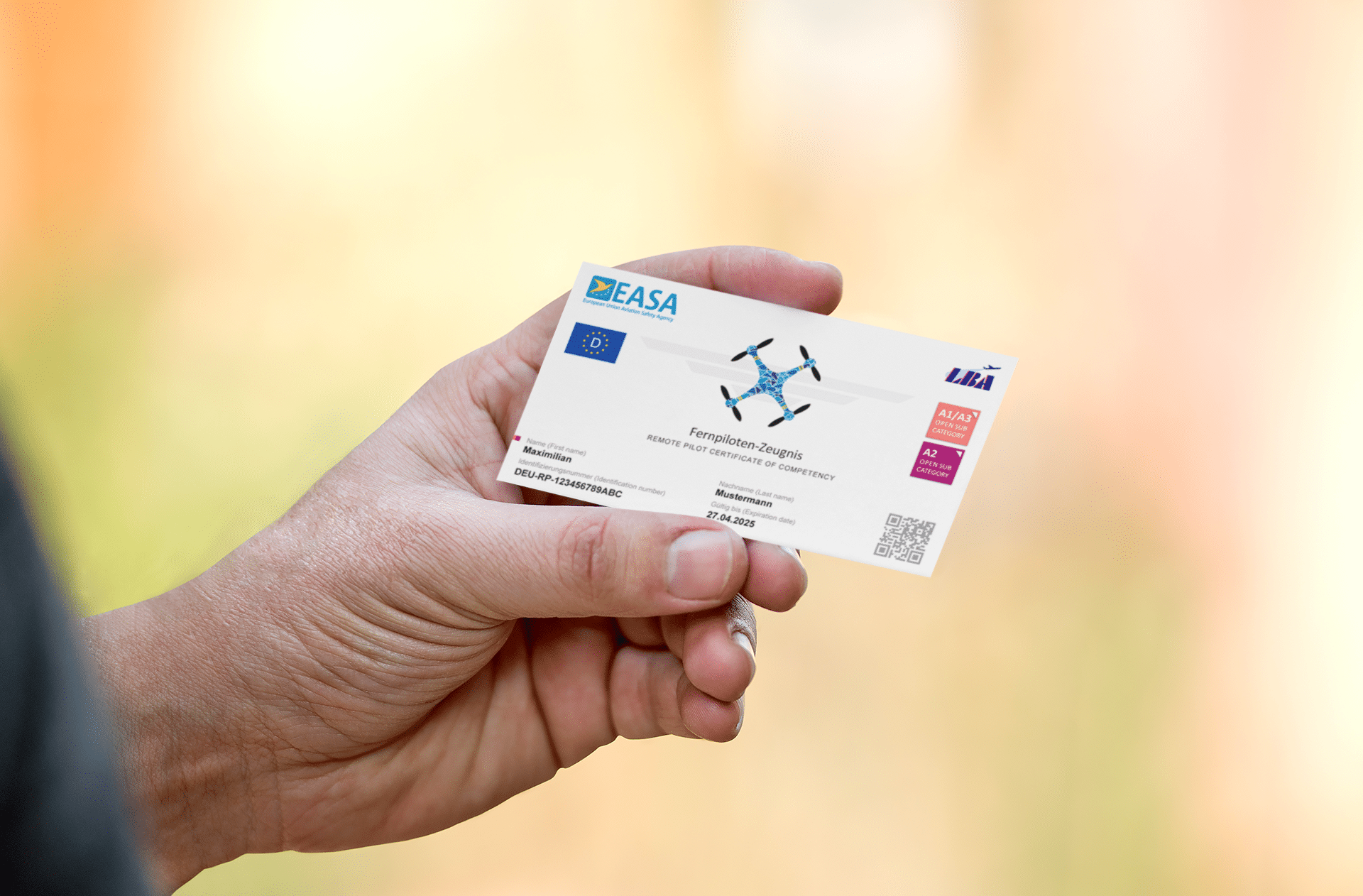
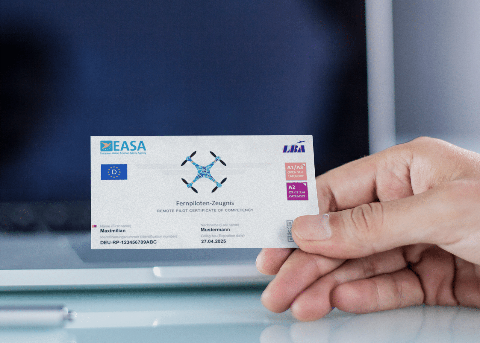
Remote pilot certificate A2 & BOS knowledge for remote pilots
- Drones as a service
- Drones & solutions
- Drones
- Drone accessories
- Drone-in-a-Box System
- Trainings & Exams
- Show all
-
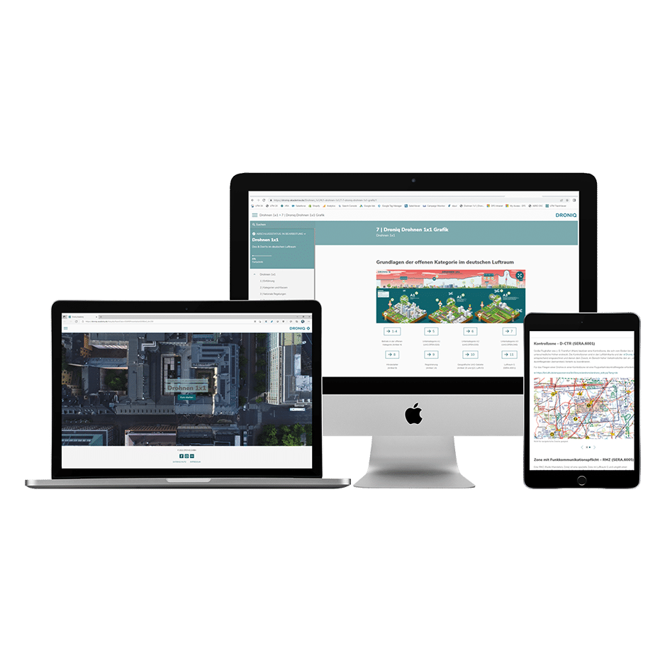
 Drones 1x1:
Online training course -
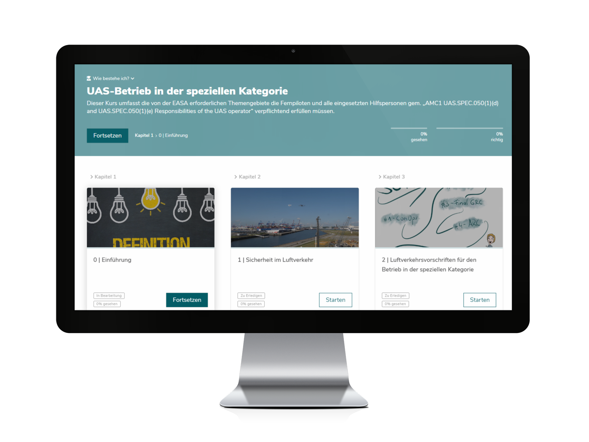
 UAS operation in the special category: Online training (EASA-compliant)
 -
 Remote Pilot Certificate A2:
Training &
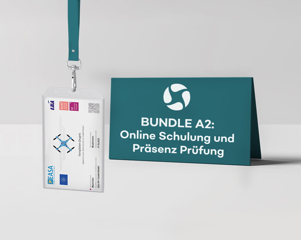
Exam (Bundle) -
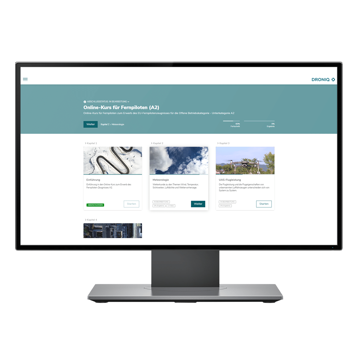
 Remote pilot certificate A2: online training
 -
 Remote Pilot Certificate A2: Presence Examination
 -
 Remote pilot certificate A2: Business package
 -
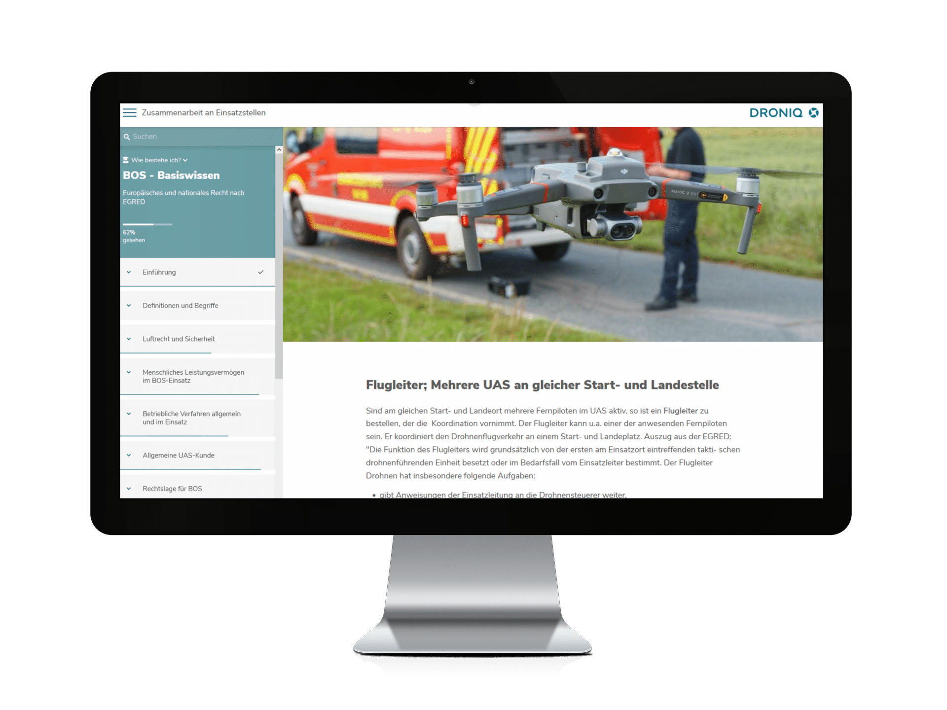
 BOS knowledge for remote pilots
- Consulting for UAS operators
- UAS Traffic Management (UTM)
- Transponder & Anti-Collision
- Ground sensors
- Apps
- News
- U-Space
- Projects
- Drones as a service
- Drones & solutions
- Drones
- Drone accessories
- Drone-in-a-Box System
- Trainings & Exams
- Show all
-
 Drones 1x1:
Online training course -
 UAS operation in the special category: Online training (EASA-compliant)
 -
 Remote Pilot Certificate A2:
Training &
Exam (Bundle) -
 Remote pilot certificate A2: online training
 -
 Remote Pilot Certificate A2: Presence Examination
 -
 Remote pilot certificate A2: Business package
 -
 BOS knowledge for remote pilots
- Consulting for UAS operators
- UAS Traffic Management (UTM)
- Transponder & Anti-Collision
- Ground sensors
- Apps
- News
- U-Space
- Projects
- Drones as a service
- Drones & solutions
- Drones
- Drone accessories
- Drone-in-a-Box System
- Trainings & Exams
- Show all
-
 Drones 1x1:
Online training course -
 UAS operation in the special category: Online training (EASA-compliant)
 -
 Remote Pilot Certificate A2:
Training &
Exam (Bundle) -
 Remote pilot certificate A2: online training
 -
 Remote Pilot Certificate A2: Presence Examination
 -
 Remote pilot certificate A2: Business package
 -
 BOS knowledge for remote pilots
- Consulting for UAS operators
- UAS Traffic Management (UTM)
- Transponder & Anti-Collision
- Ground sensors
- Apps
- News
- U-Space
- Projects
Language

CATEGORY
UTM
DRONE-TRAFFIC-MANAGEMENT
WHAT DOES THE UTM SERVICE OFFER?
Droniq combines the best of both worlds in the UTM: DFS's aviation know-how and Telekom's mobile communications expertise.
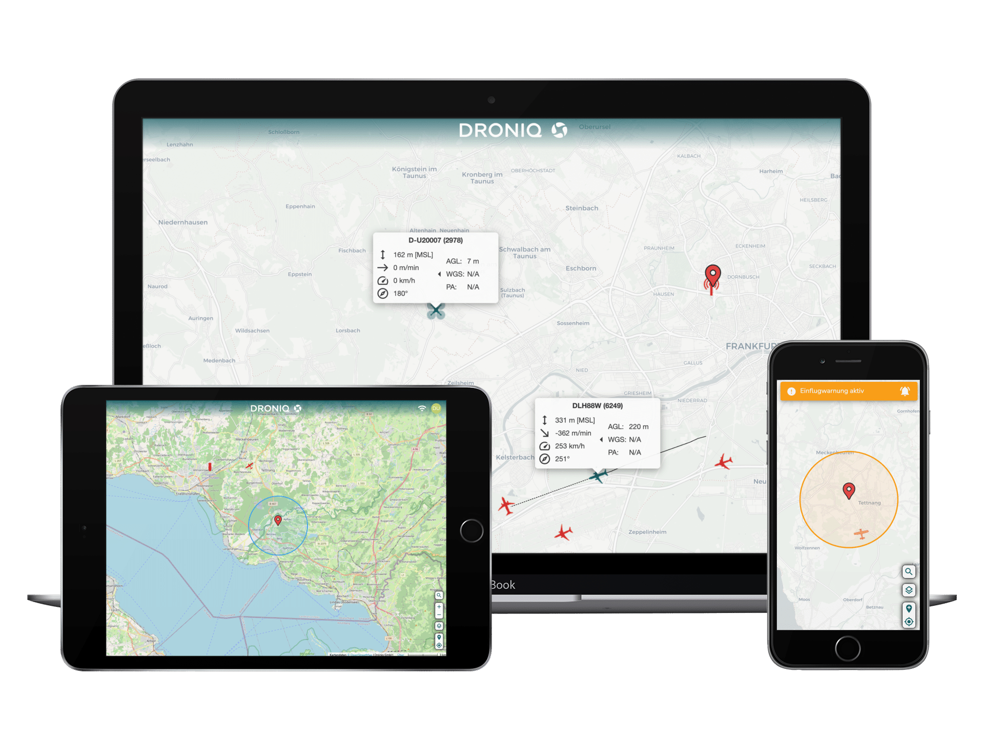
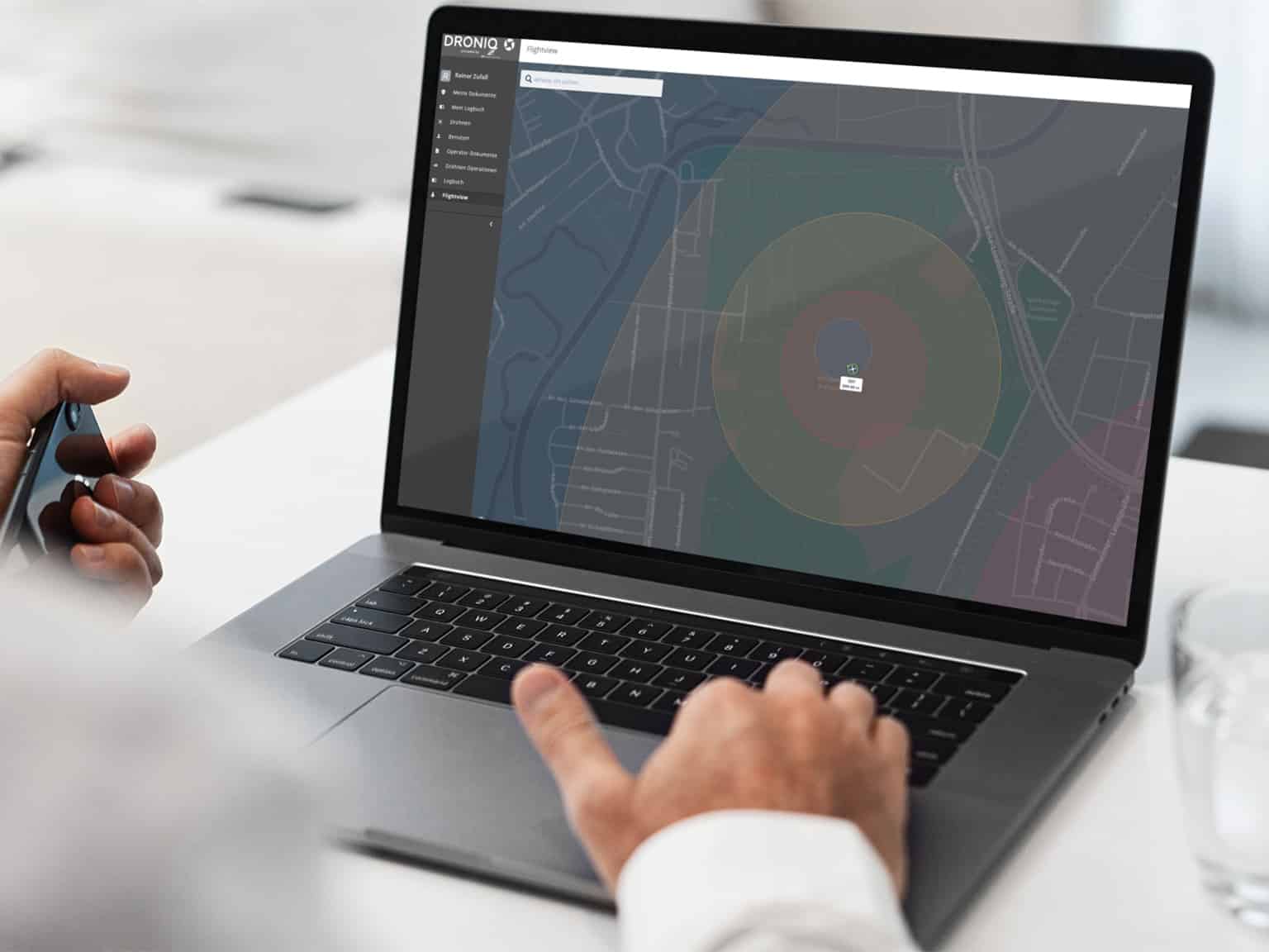
At the core of Droniq's product offering is a drone traffic management system, the UAS Traffic Management System (UTM), which provides combined air situational awareness of manned and unmanned aerial vehicles, as well as other functions for safe and efficient drone beyond visual line of sight (BVLOS) operations.
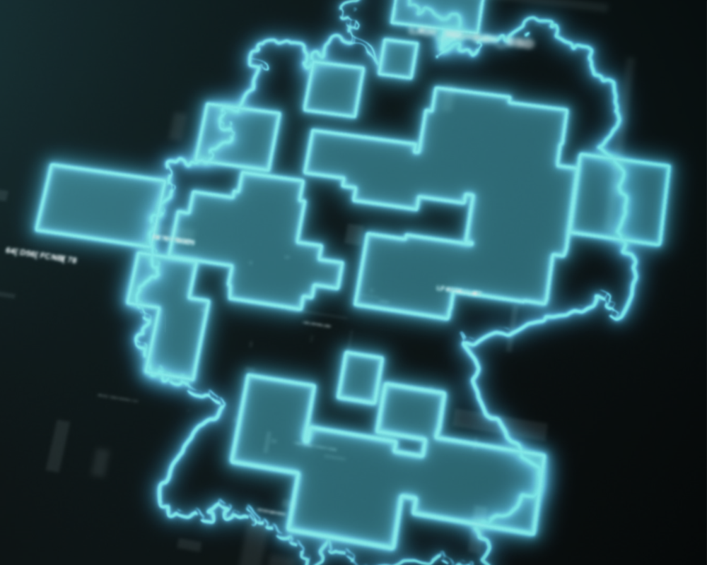
Nationwide, the UTM is the first fully operational UAS Traffic Management System to safely and efficiently integrate drones into the airspace.
You can find out exactly how this works here!
WHO IS HELPED
OUR UTM?

Commercial pilots
Video and photographers

General Aviation
Users from the general aviation environment for whom an air situation display down to the ground is of interest
CONSTITUENTS
OF THE UTM SERVICE
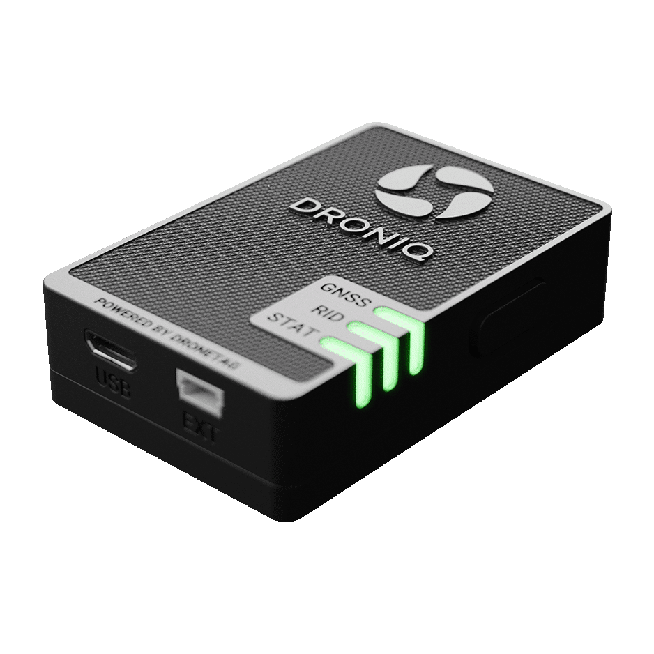
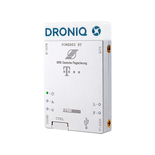
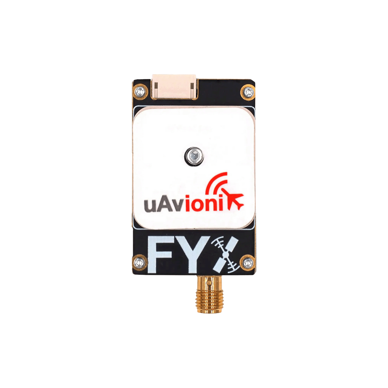
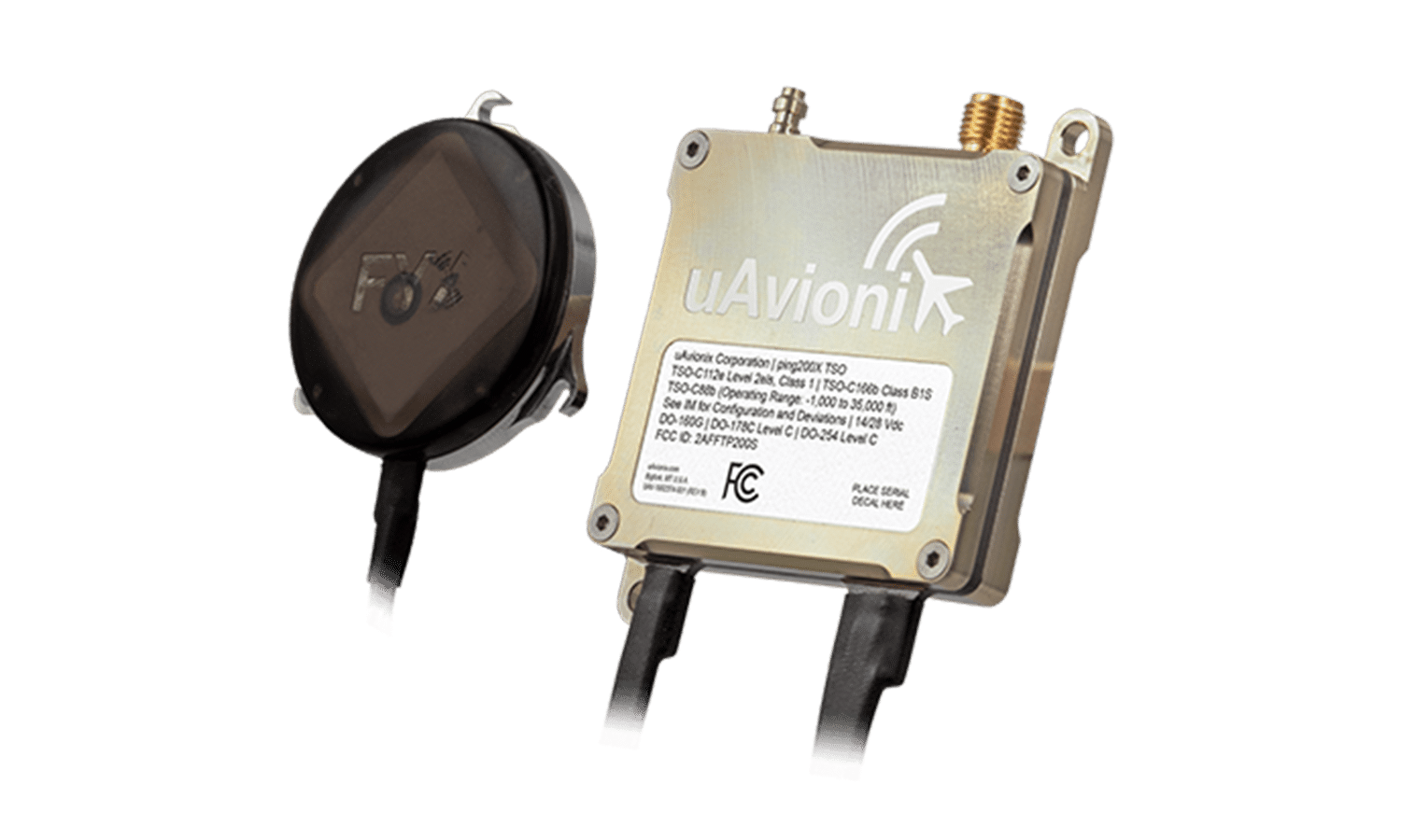
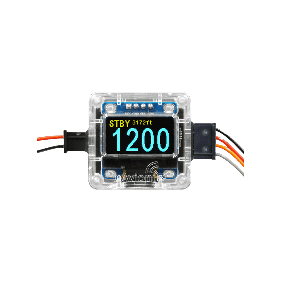
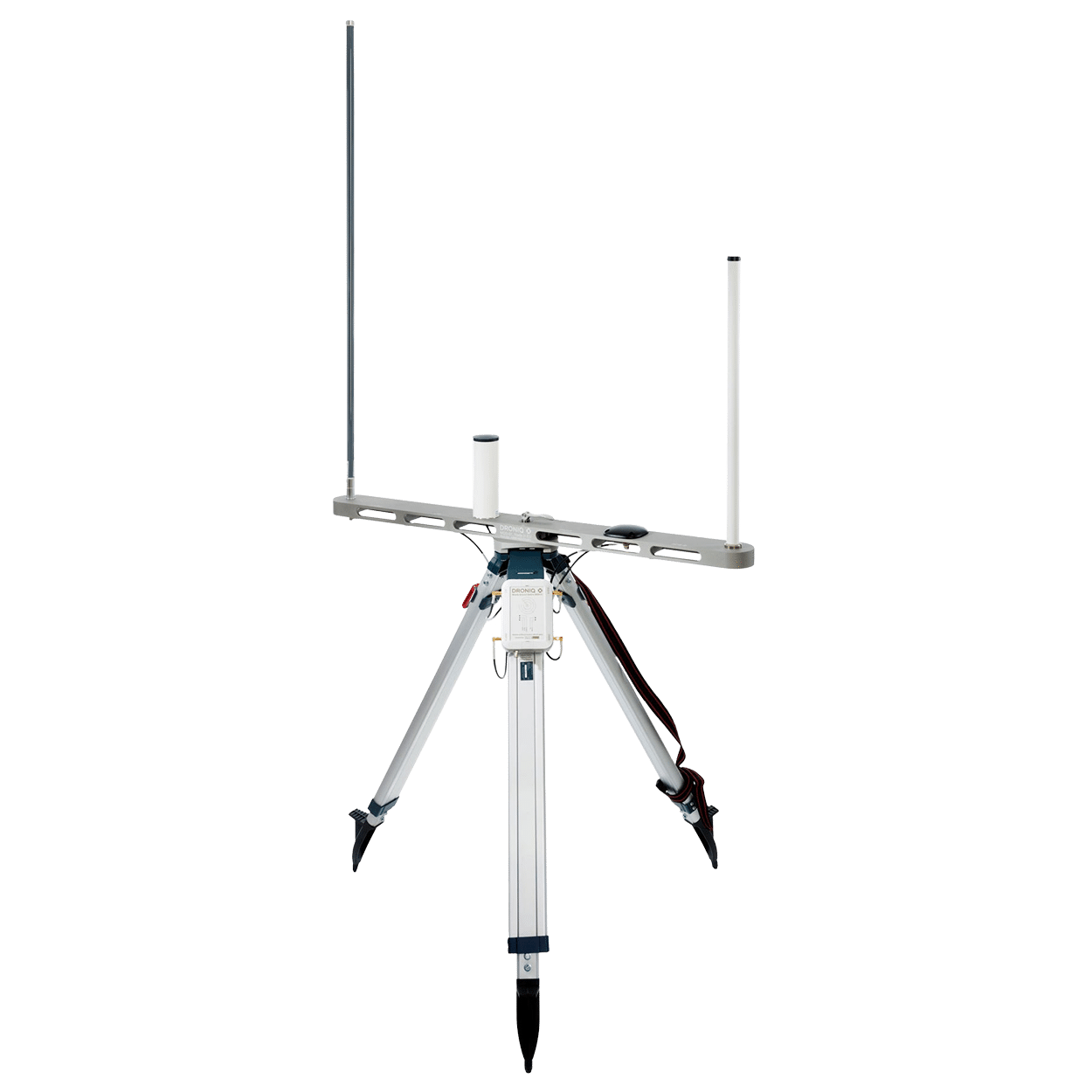
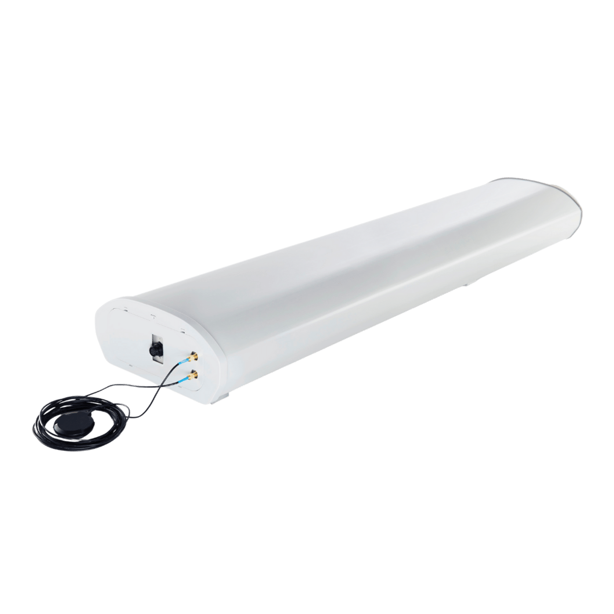
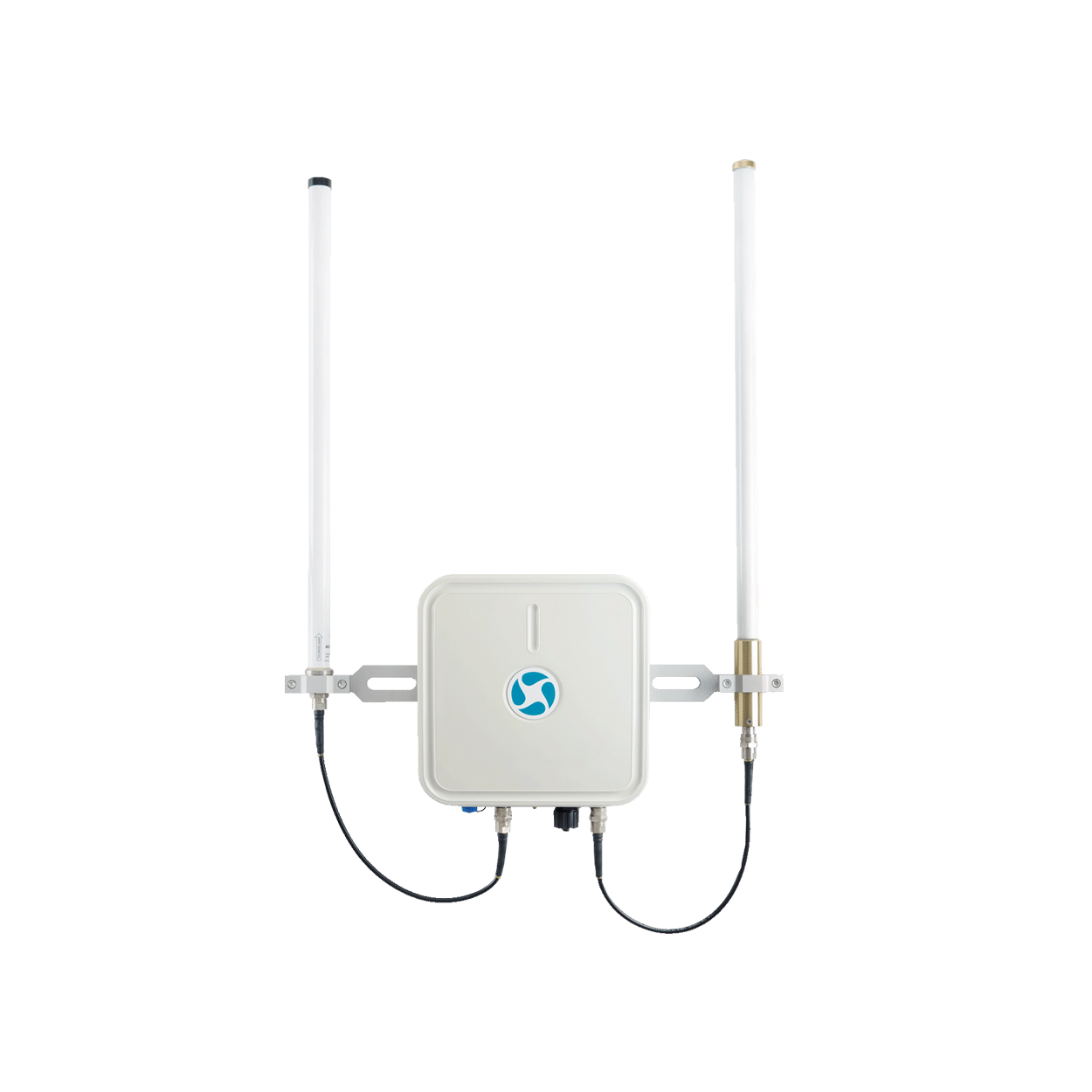
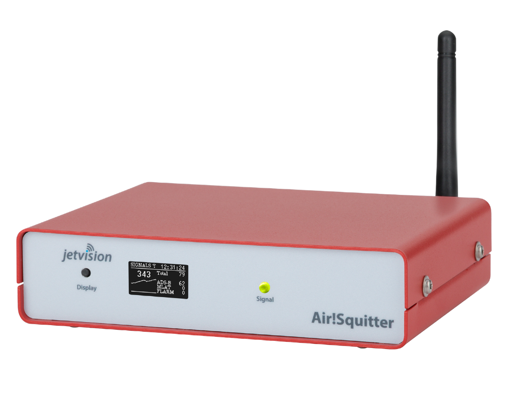
Droniq provides you with the necessary hardware, consisting of a transponder for tracking the aircraft, the Hook-on-Device (HOD) or Dronetag mini and optionally a system for ground sensors (Mobile Ground Station, Fixed Ground Station or Omnidirectional Ground Station). Together with an online access to the web-based UTM system (e.g. UTM TrackViewer) you are ready for a professional drone operation in compliance with the applicable regulations. The display of the aerial situation picture as well as the hosting is provided by DFS Deutsche Flugsicherung.
TRANSPONDER
UTM SOFTWARE
Ground sensors
SUPPORT IN ALL PHASES OF THE DRONE FLIGHT
Our UTM approach is oriented towards the entire value chain of professional beyond visual line of sight (BVLOS) drone flying. In doing so, the system supports the controller in all phases of the flight.
Pre-Flight Phase
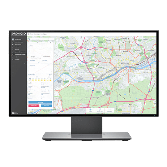
In the pre-flight phase, the operator registers in the UTM, plans his mission. Checks it for no-fly zones or airspace restrictions. After the flight has been validated, he receives precise information on which permits may still need to be obtained. He also receives information about other registered flight movements.
In-flight phase
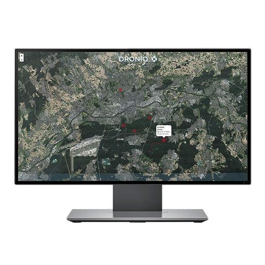
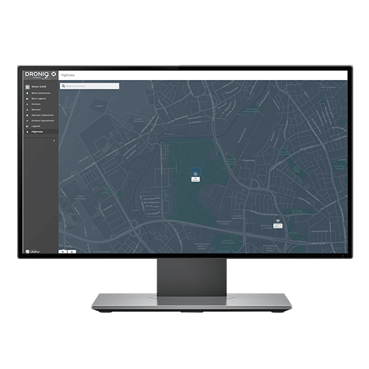
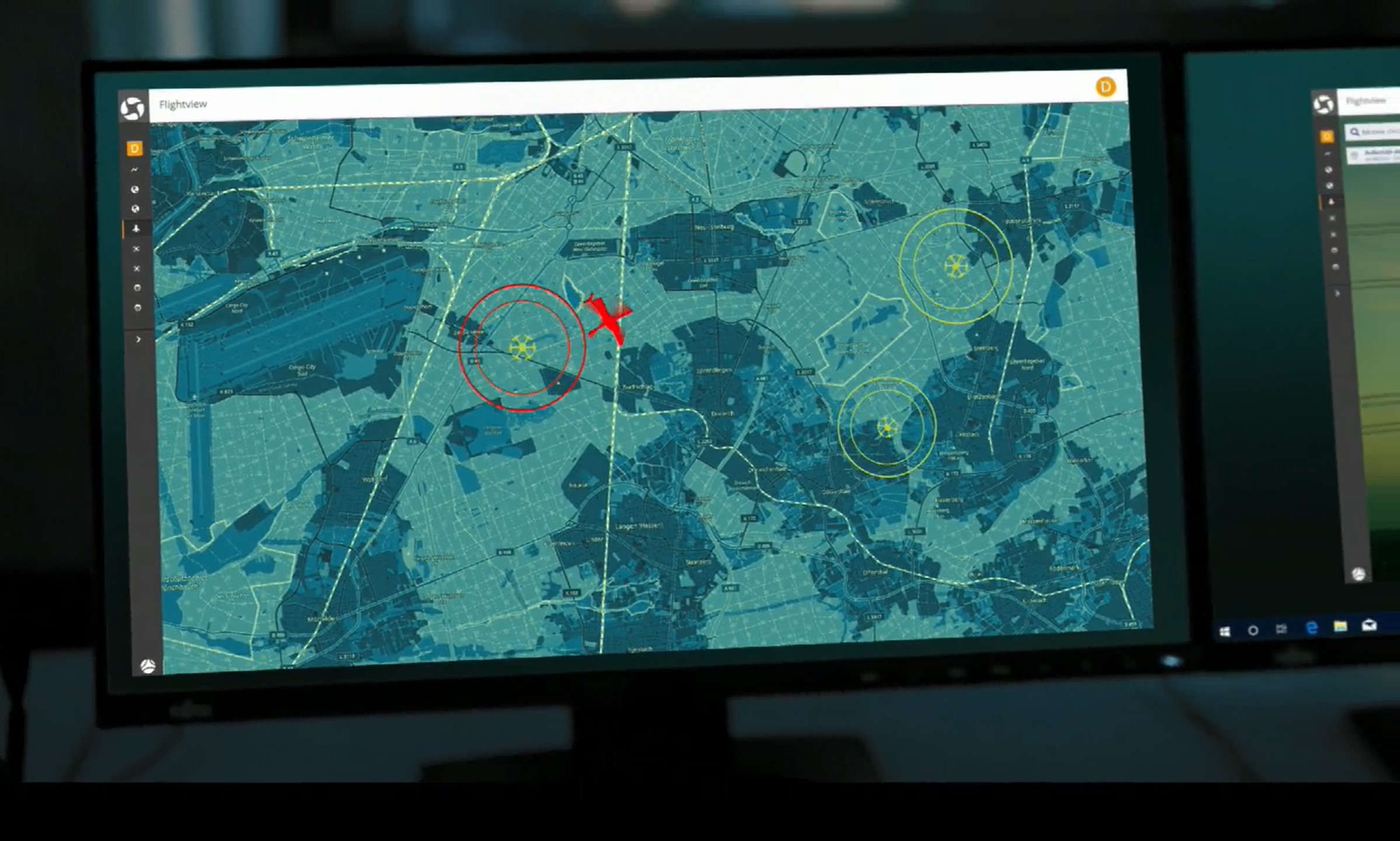
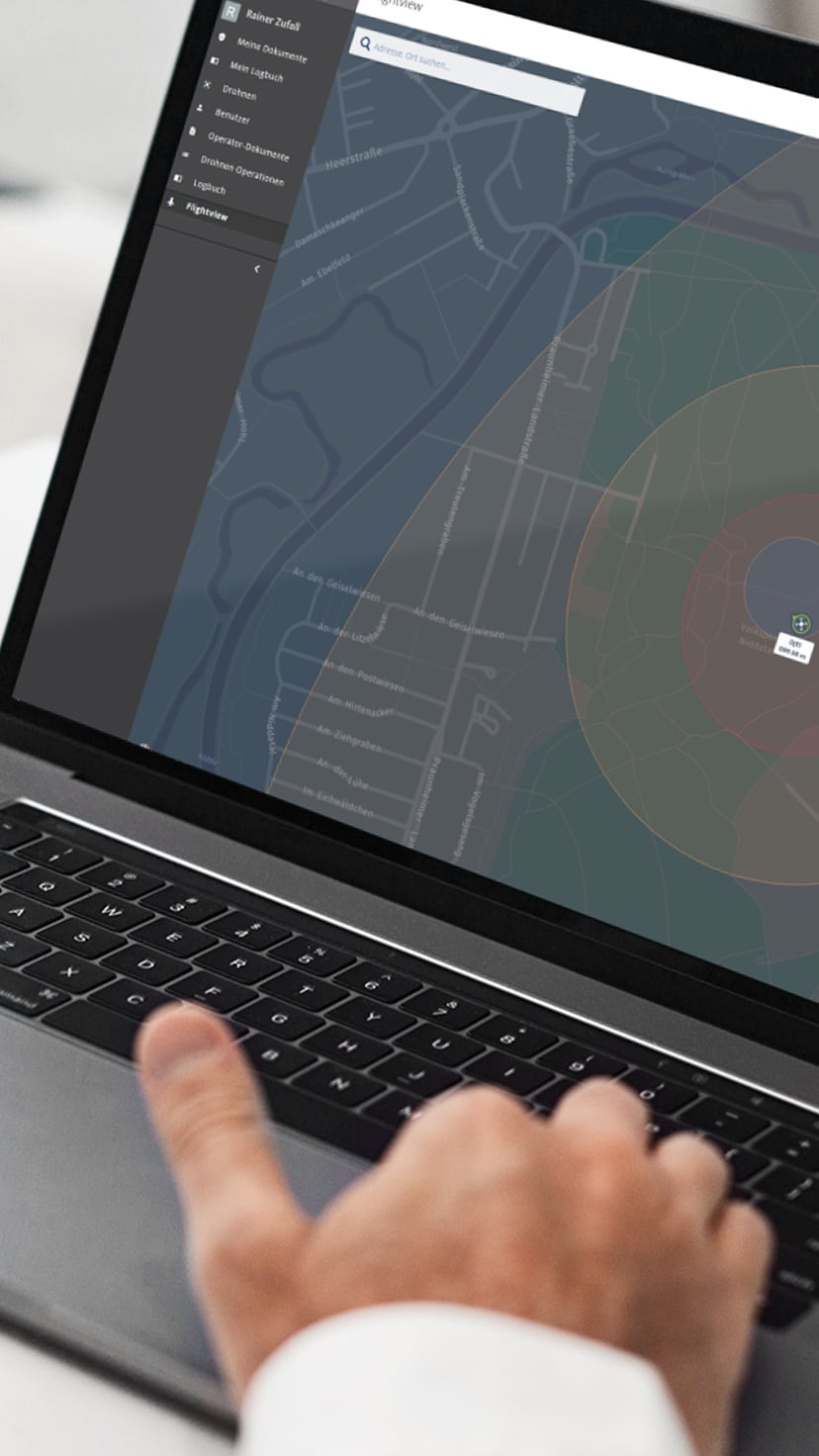
In the in-flight phase, the UTM tracks the drone in real time using HOD4track or Dronetag. Other relevant air traffic is also displayed in the Flight View (manned and unmanned aircraft registered in the UTM). If the drone pilot deviates from his planned flight path or leaves the airspace blocked for his mission or comes too close to other airspace participants, he receives a warning.
Post-Flight Phase
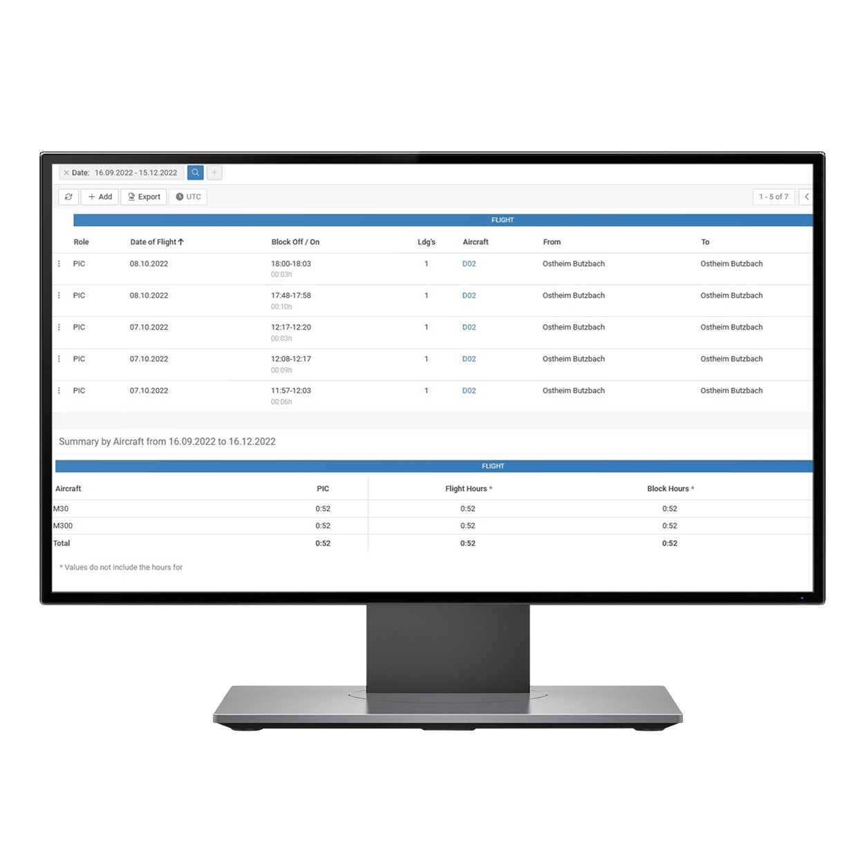
The UTM system components of the post-flight phase help with the evaluation and follow-up of the flight (e.g. maintenance of the logbook, incident management, battery management).
ADDED VALUE FOR YOUR UAS OPERATION
-
Drone registration
-
Monitoring of the drone fleet
-
Mission: Planning, testing & release
-
Live Air Traffic in Ground Level Airspace
-
Conflict warning
-
LTE Command & Control
-
Real time data transfer
-
Air situation display out of sight
-
UAS operation over long distances
-
Visibility of drones in the airspace
-
Mission evaluation
-
Incident documentation
HOW DOES
THE UTM WORK?
HOOK ON DEVICE
The LTE module with integrated SIM card attached to the drone sends its position data and optional payload data (videos, photos, sensor data) via the Telekom mobile network. The drone also receives control commands (command & control) via this network.MOBILE RADIO NETWORK
The mobile network is already available nationwide and serves as the basic infrastructure.PAYLOAD DATA
The payload data is provided to the drone controller or end user in a cloud-based manner.WEB CLIENT & APP
Via his UTM access, the drone controller keeps an eye on the airspace in the close-up range and is informed about all relevant flight activities. Flight preparation and post-processing are also carried out via the UTM, as is the entire user administration.DRONE DETECTION SYSTEMS
Via an interface, all common drone detection systems can be connected to the UTM and thus determine which drones are potentially dangerous by means of data reconciliation.NON-COOPERATIVE DRONES
Drones flying without an LTE module are initially not visible to the UTM. However, with the sensor technology of drone detection systems, these drones can also be located and incorporated into the UTM as a position source.GROUND SENSING
The ground sensor system receives position data from short-range VFR traffic such as FLARM and ADS-B and sends this position data to the UTM via mobile radio.MANNED AIR TRAFFIC POSITION DATA
The transponder data of commercial aircraft (IFR) are received and processed via the radar infrastructure of DFS.INTERFACE TO THE DFS
The data of manned air traffic relevant for drones also flows into the UTM via an interface.UTM CLOUD
Droniq's UTM provides all the services needed for safe and efficient drone operations.UTM TRACKVIEWER
EXPLAINED IN VIDEO
Play video
Questions about the UTM?
Fill out the form. We will call you back or contact you by email.
"*" indicates required fields
Other categories
Newsletter
Receive regular updates from us.
Newsletter
Receive regular updates from us.
Legal
News & Events
Services
Company
Legal
Company
Add to shopping cart
Not available
incl. VAT
Not available
Shopping cart
Your shopping cart is currently empty.
To the checkout
Total
Shipping costs are displayed and calculated at checkout.
Read more
Read less
Show all
- Drones as a service
- What is DaaS?What is DaaS?
- Grassland surveyGrassland survey
- Agricultural aviationAgricultural aviation
- Fawn rescue by droneFawn rescue by drone
- Solar plant inspectionSolar plant survey
- Wind power flightWind power flight
- Drones & solutions
- DronesDrones
- Drone accessoriesDrone accessories
- Drone-in-a-Box SystemDrone-in-a-Box System
- Trainings & ExamsTrainings & Exams
- Drones 1x1:
Online training course - UAS operation in the special category: Online training (EASA-compliant)
- Remote Pilot Certificate A2:
Training &
Exam (Bundle) - Remote pilot certificate A2: online training
- Remote Pilot Certificate A2: Presence Examination
- Remote pilot certificate A2: Business package
- BOS knowledge for remote pilots
- Drones 1x1:
- Consulting for UAS operatorsConsulting for UAS operators
- UAS Traffic Management (UTM)UAS Traffic Management (UTM)
- Transponder & Anti-CollisionTransponder & Anti-Collision
- Ground sensorsGround sensors
- AppsApps
- Droniq AppDroniq App
- flyDMFV AppflyDMFV App
- News
- U-Space
- Projects
- Funding projectsFunding projects
- Product developmentProduct development
- Customer StoriesCustomer Stories
