Investigation
how analyzed 3D maps can be used to simplify the operational safety of drones and their flight authorisation.
Development
of fusion algorithms and AI-based annotation of voxel maps as well as georeferenced, annotated 3D maps.
Demonstration
autonomous drone flights
beyond visual line of sight (BVLOS)
based on newly acquired
high-precision voxel maps
Project duration
Project start: September 2023 Project end: August 2026
The goal
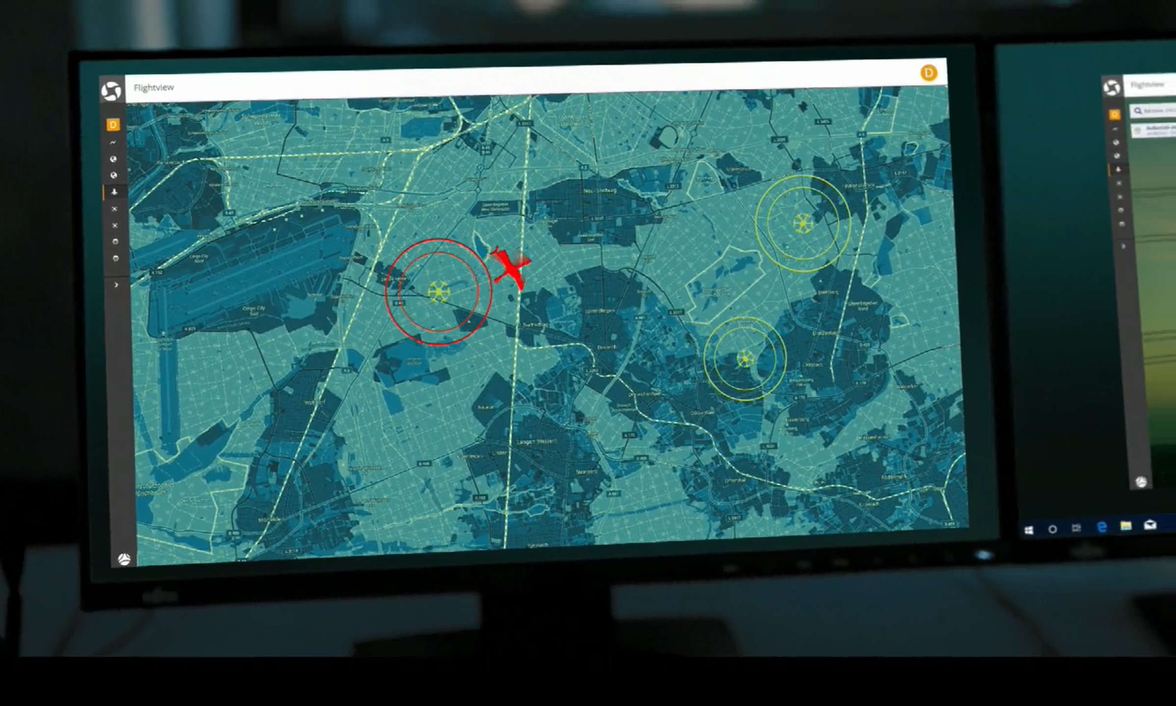
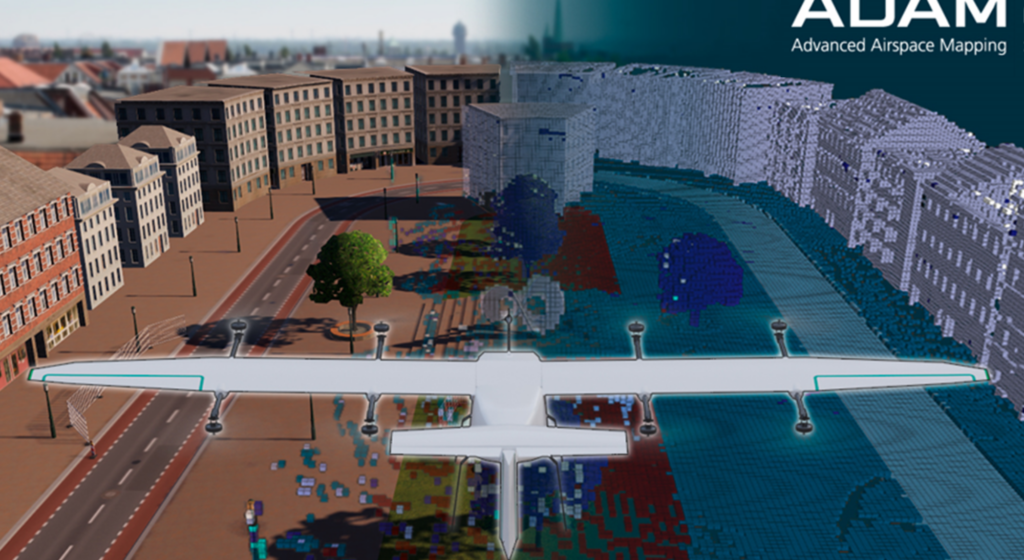
ADAM relies on mapping using drone-based sensor data fusion. Georeferenced annotated voxel maps are created using AI data evaluation and D-GPS localisation. The generated maps are intended to guarantee safe, redundant trajectory planning at altitudes below 150 metres and are to be integrated into the UTM as an extended or optional geo-awareness service for use in the context of U-Space. The homologation of the formats and methods is being investigated and initiated.
The implementation
As part of the ADAM project, individual work packages are being implemented step by step.
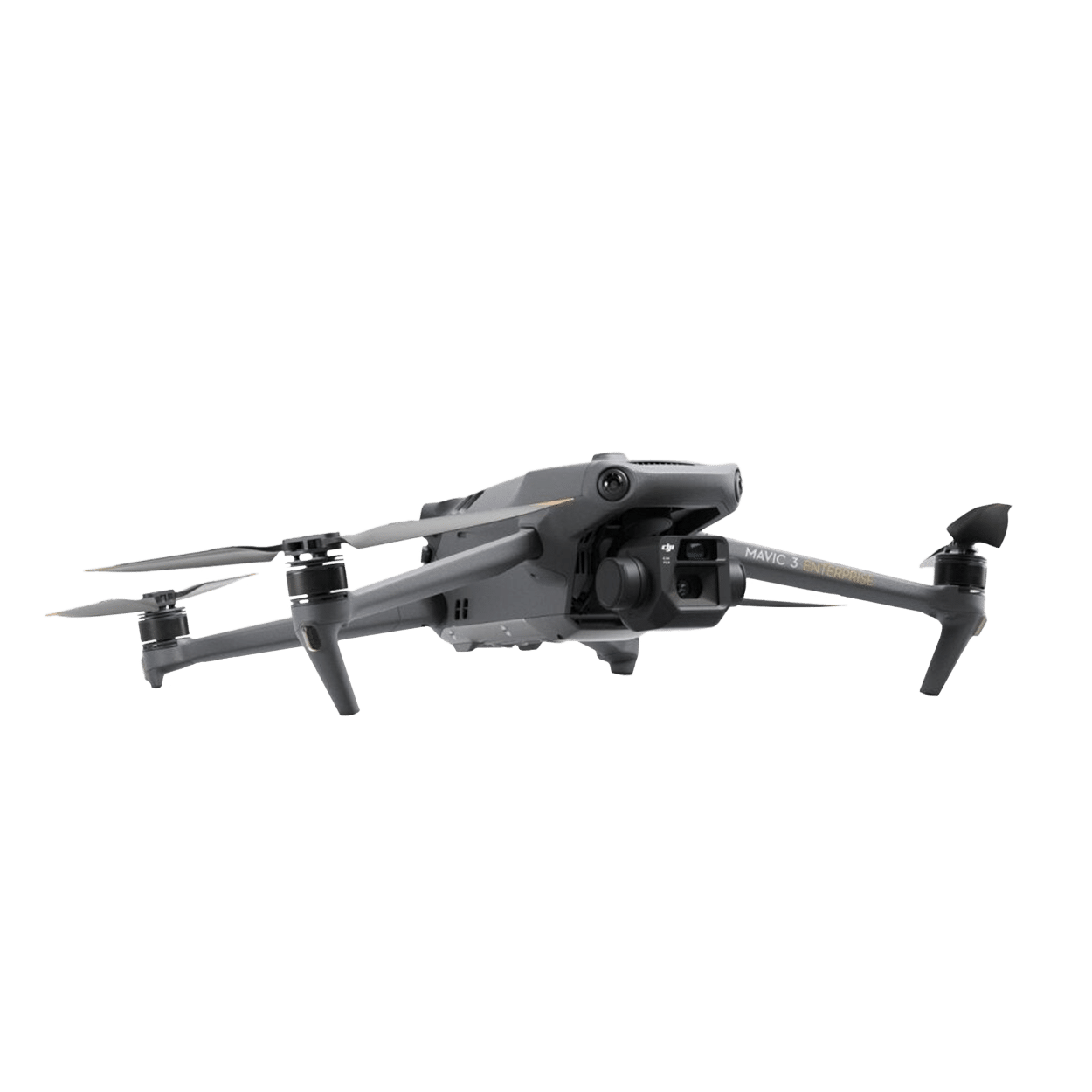
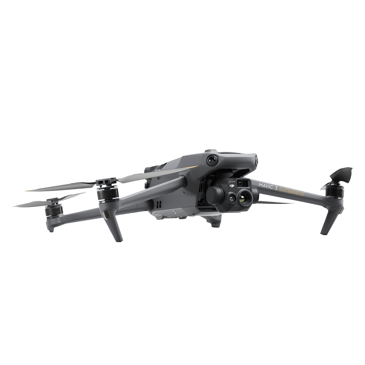
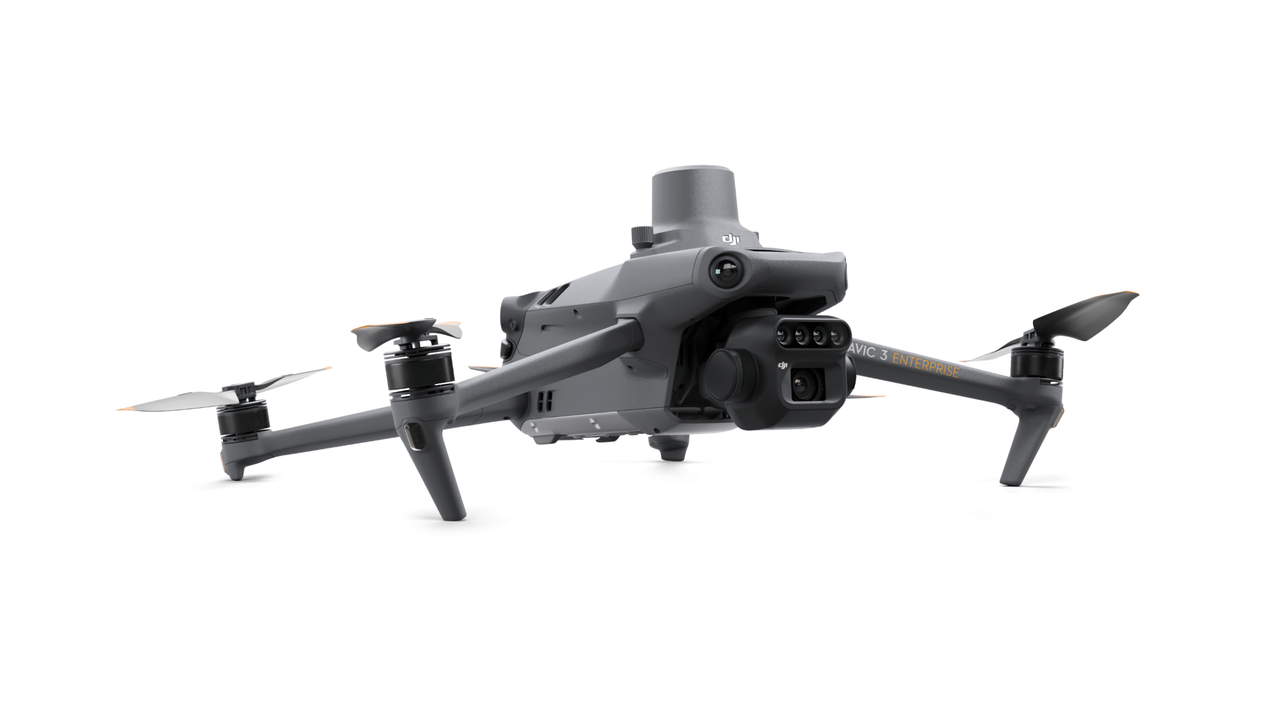
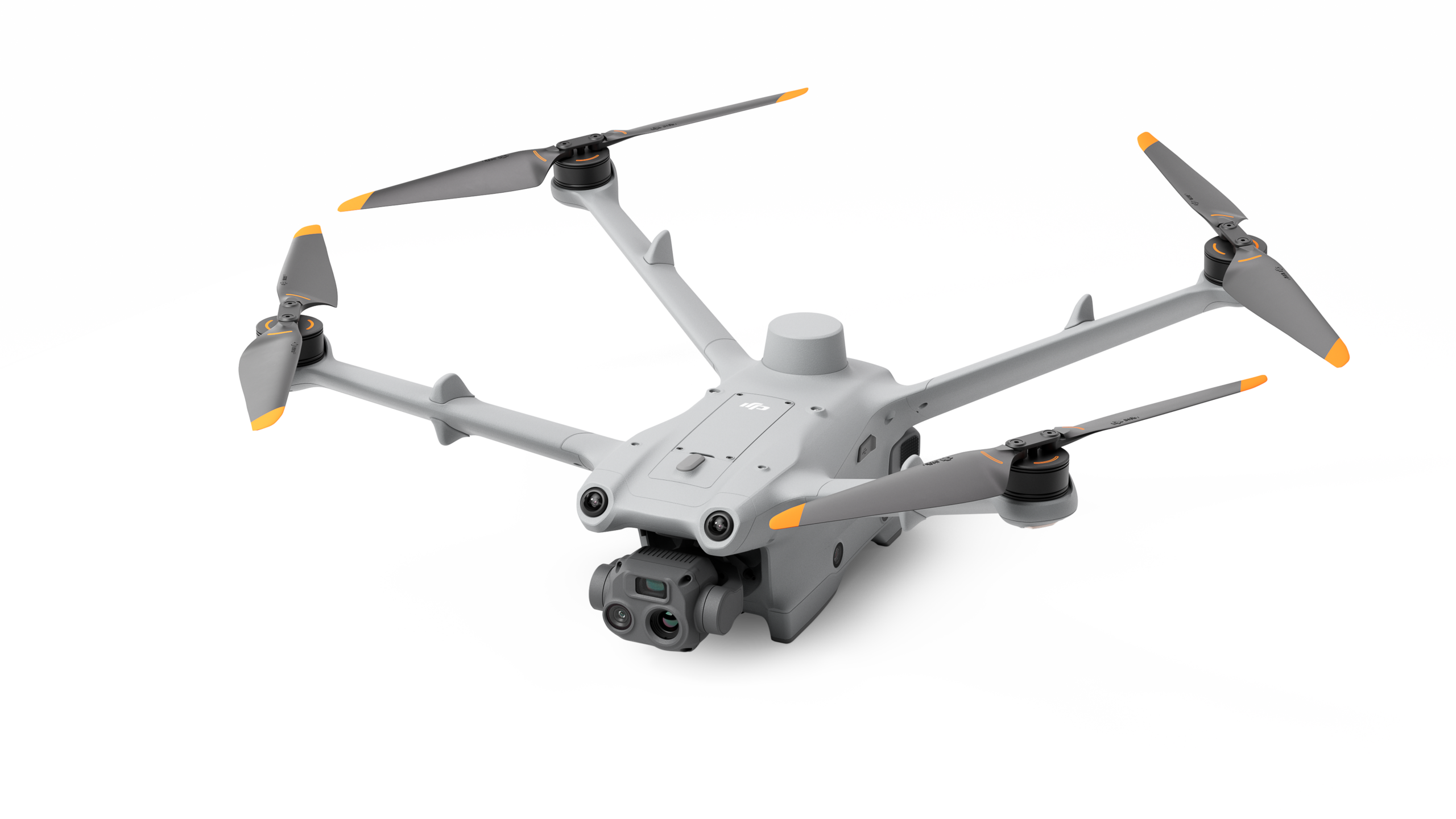
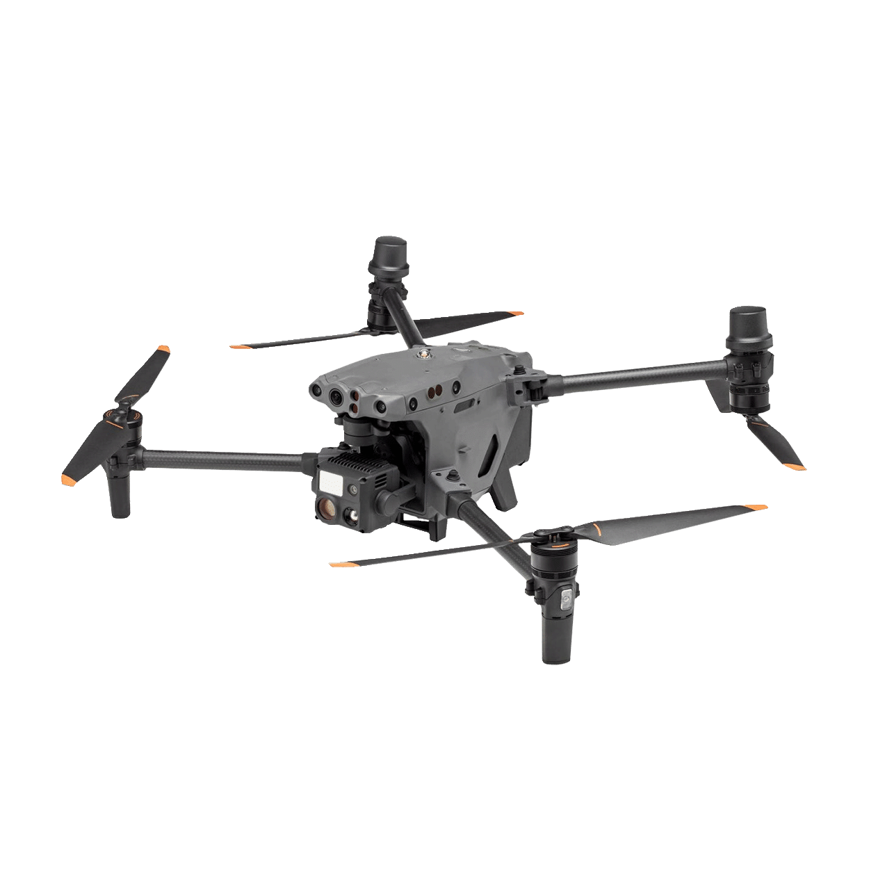
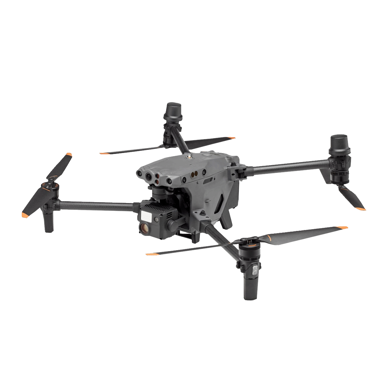
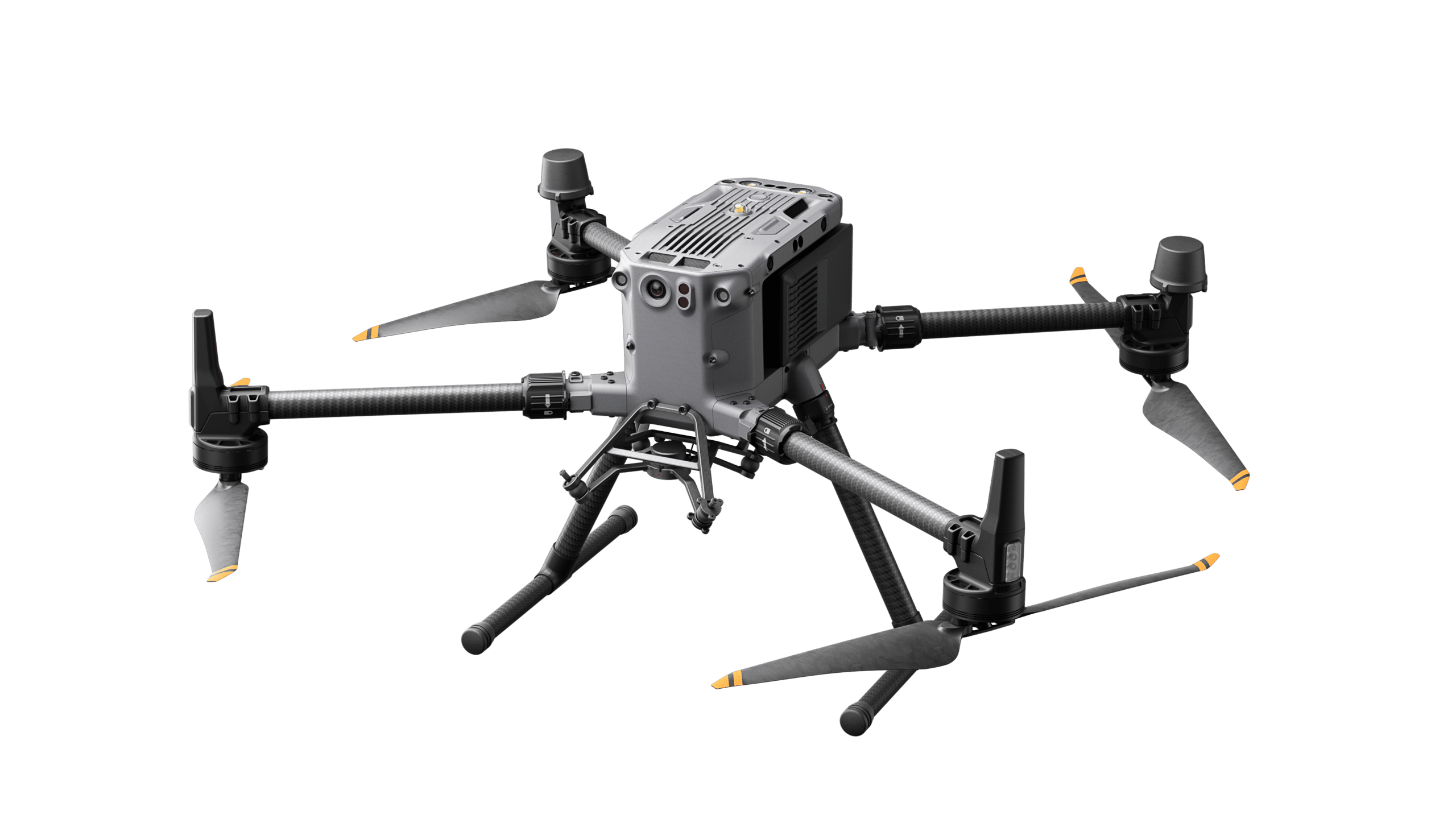
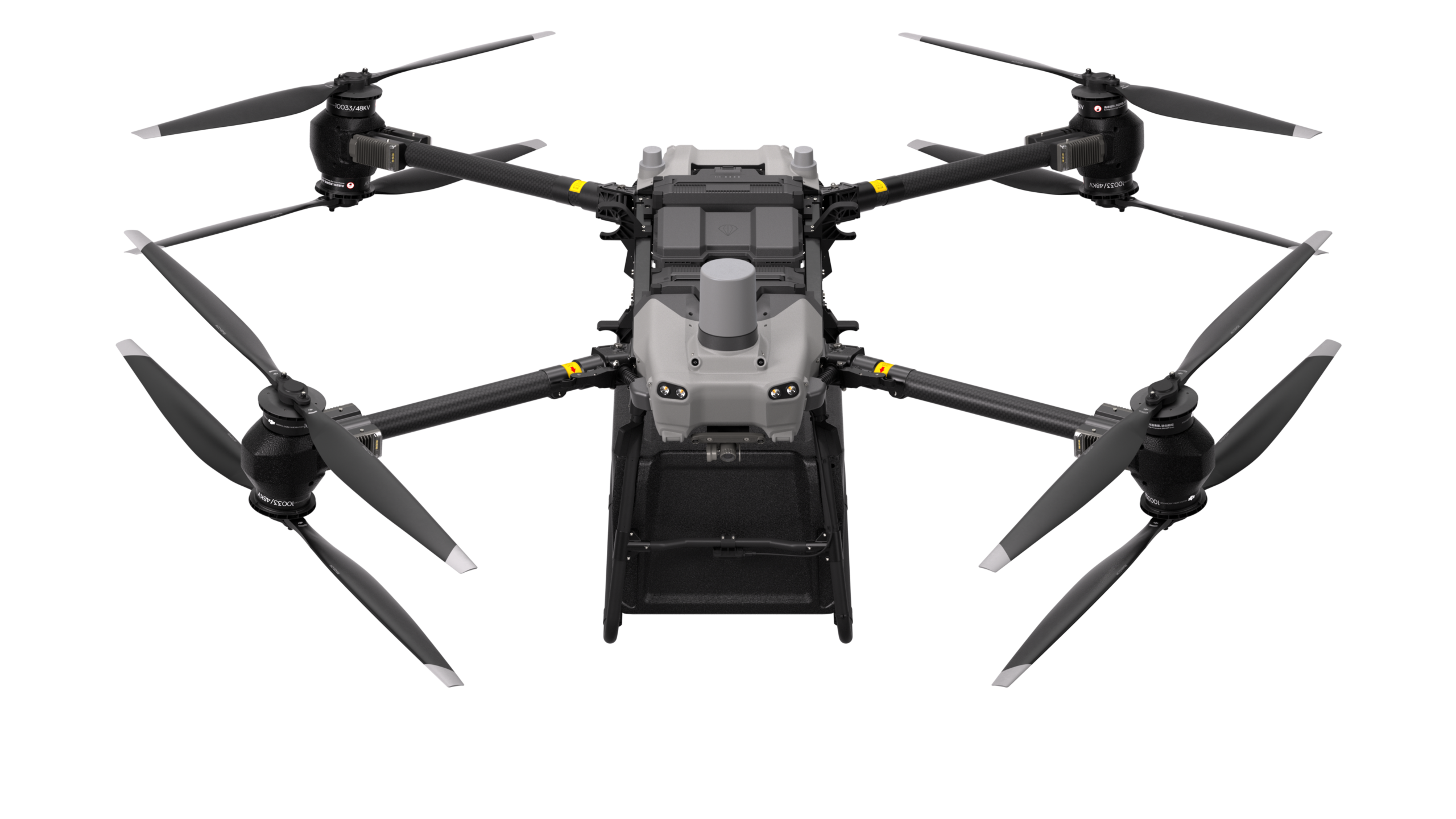
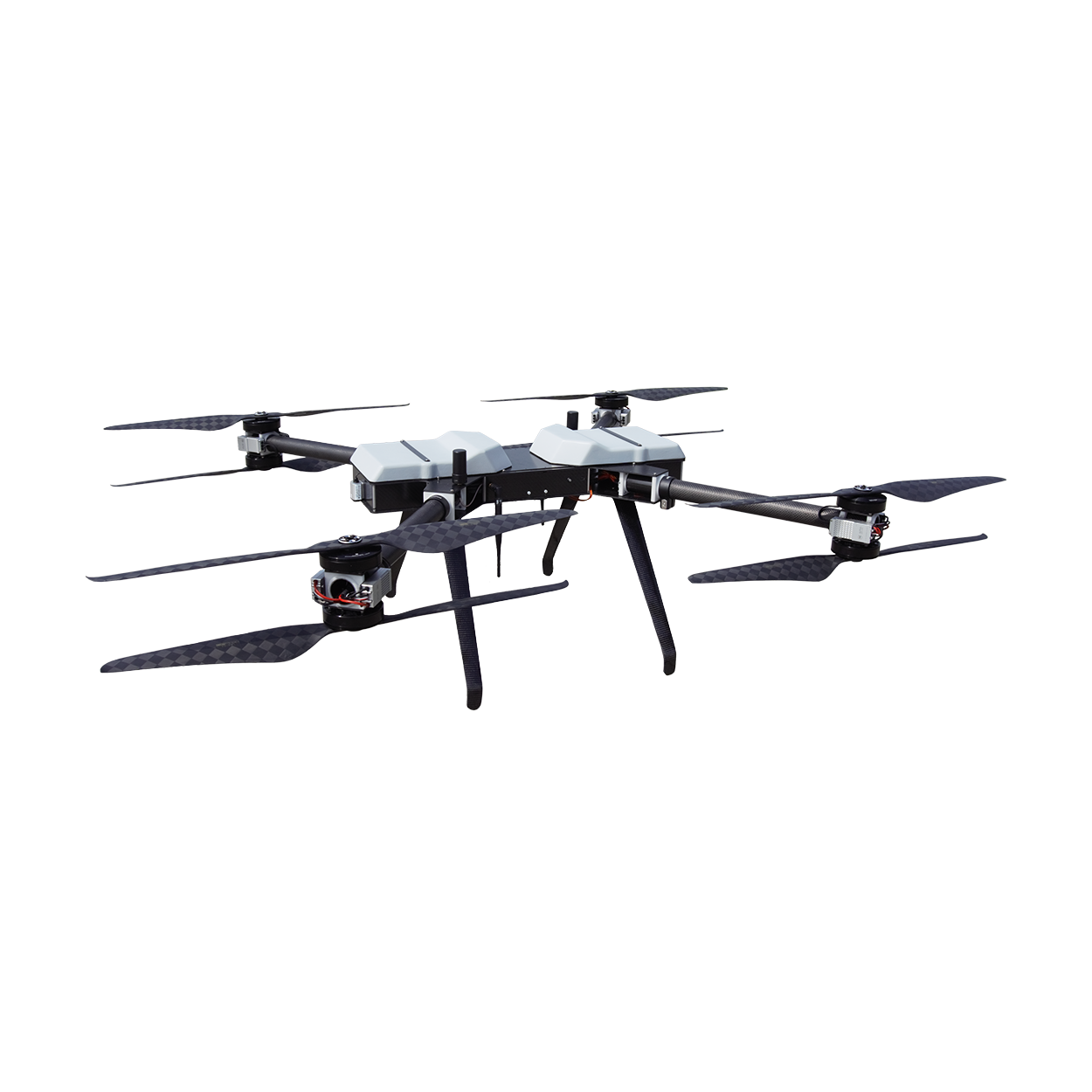
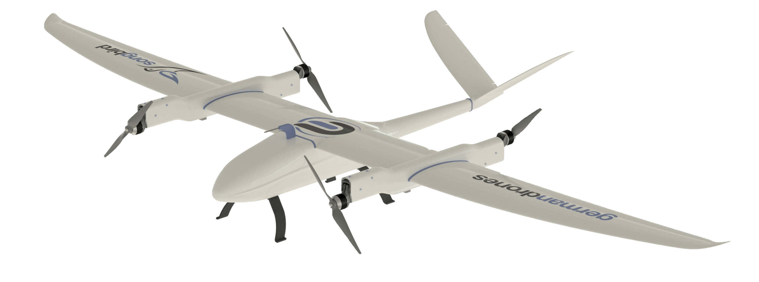
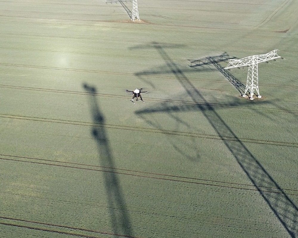
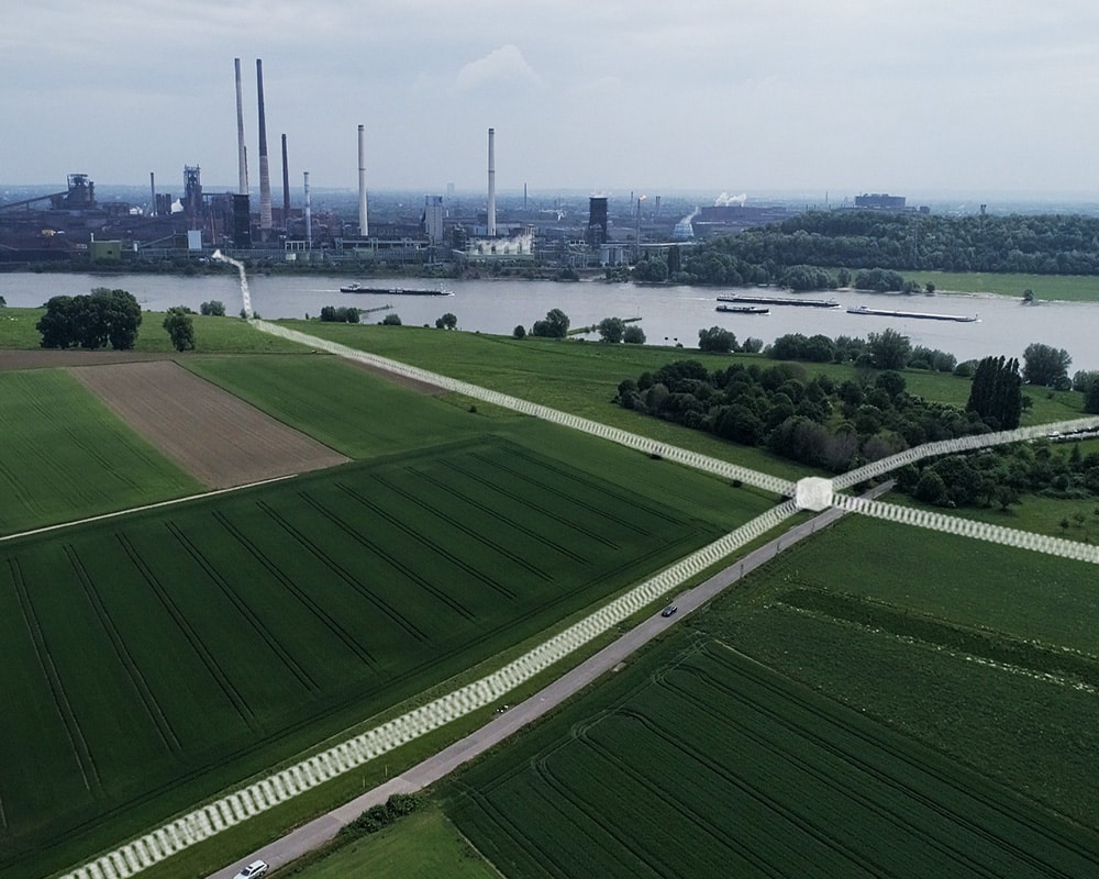
Among other things, the existing virtual and real test field will be expanded and the lower airspace of the test field will be digitally surveyed so that a reference data set can be created. The survey is being carried out using a high-performance drone equipped with radar LiDAR camera sensors.
After the successful survey, fusion algorithms and AI-based annotation of the voxel maps are evaluated. In addition, georeferenced, annotated 3D maps are developed that can be used for the extended geo-service for U-Spaces.
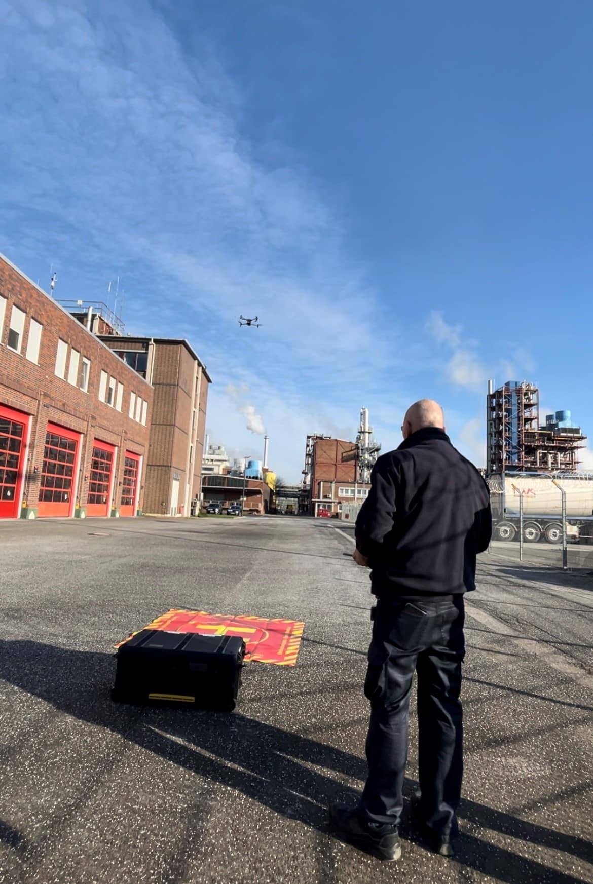
Autonomous flight demonstrations take place on the basis of the newly captured high-precision voxel maps.

Our contribution
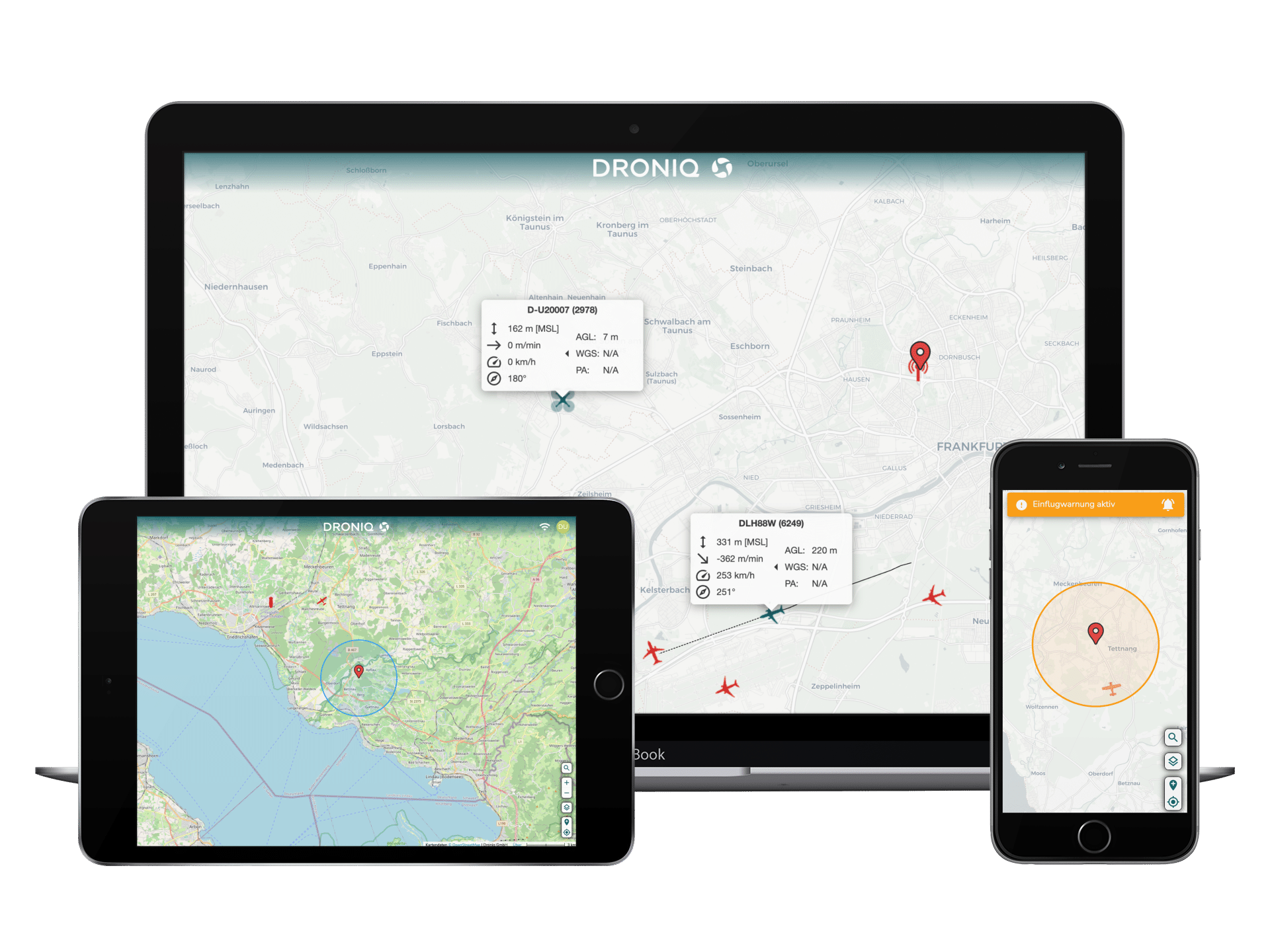
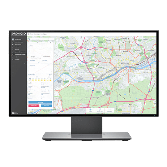
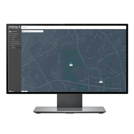
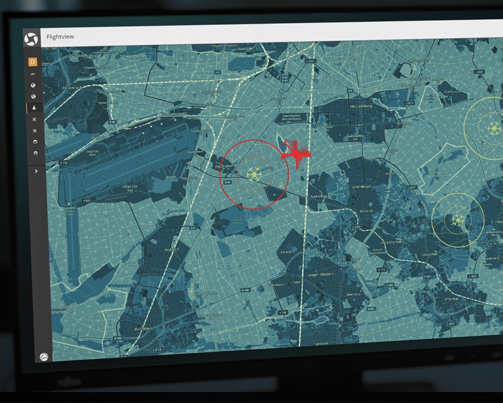
In the project, Droniq is mainly concerned with the provision of voxel maps to drone operators. To this end, the systemic and practical requirements arising from the intended expansion of the geo-awareness service are being examined in detail and how these can be implemented. In addition, Droniq provides access to the UTM, which was further developed as part of the research project and is used during the demonstration flights.

Project partner
FRAUNHOFER
INSTITUTE
IVI
FRAUNHOFER
INSTITUTE
IOSB
CONTINENTAL
AUTOMOTIVE TECHNOLOGIES
SEDENIUS ENGINEERING
TECHNICAL
UNIVERSITY OF MUNICH
BIT
TECHNOLOGY SOLUTIONS
AIRCLIP SERVICES
DRONIQ
PAUL & KAYSER
ENGINEERING-COMPANY
AEF
Funding source
More news about the project
- General topics
