- Shop
- Drones
- Show all
-
 DJI Mavic 3 Multispectral
 - New DJI Matrice 4T
- New DJI Matrice 4E
- New DJI Matrice 4D Standalone
- New DJI Matrice 4TD Standalone
- New DJI Matrice 4D
- New DJI Matrice 4TD
- New DJI Matrice M400
- DJI FlyCart 30 transport drone
- New DJI FlyCart 100 Heavy-duty transport drone
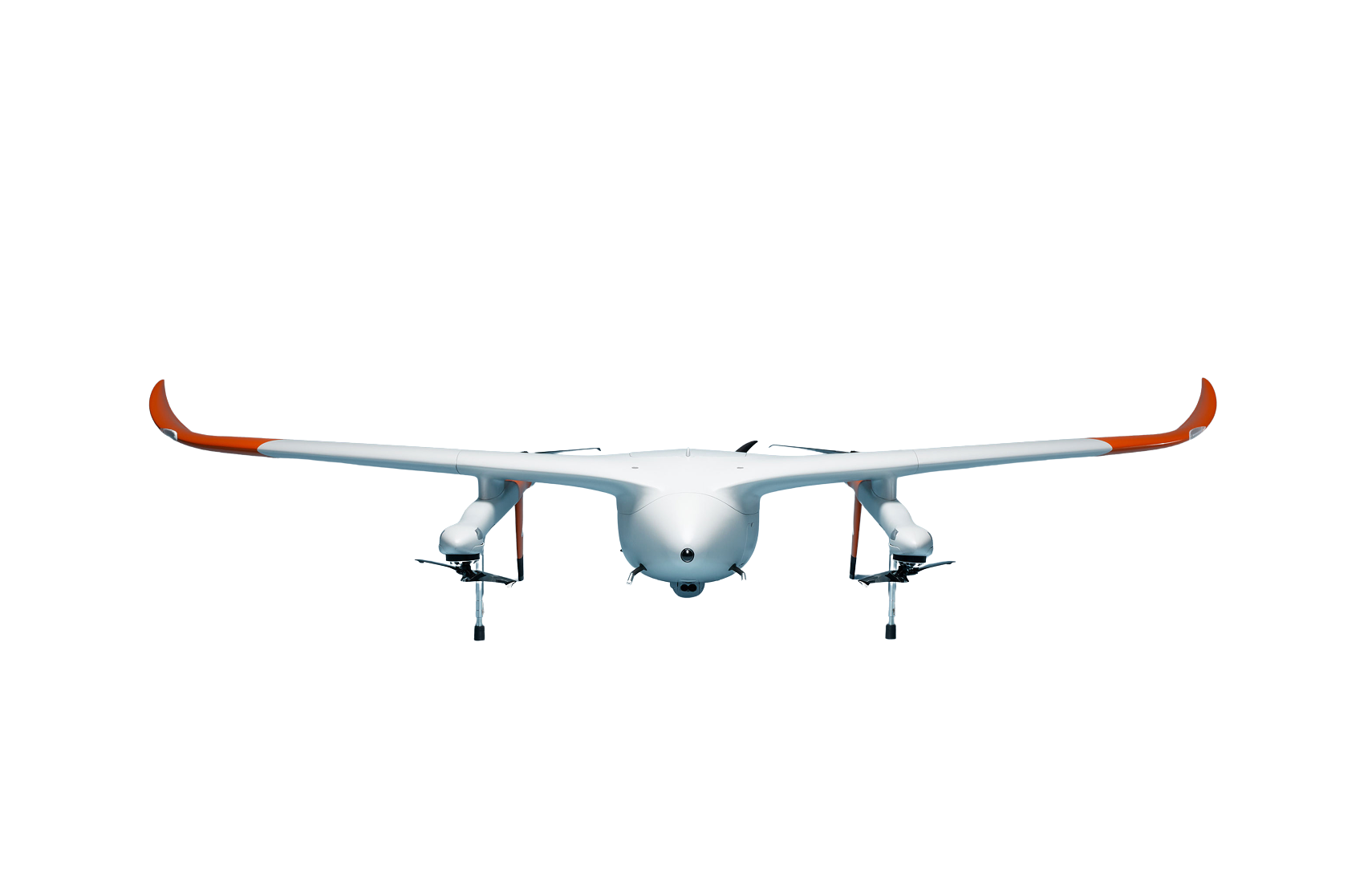
- Avy Aera
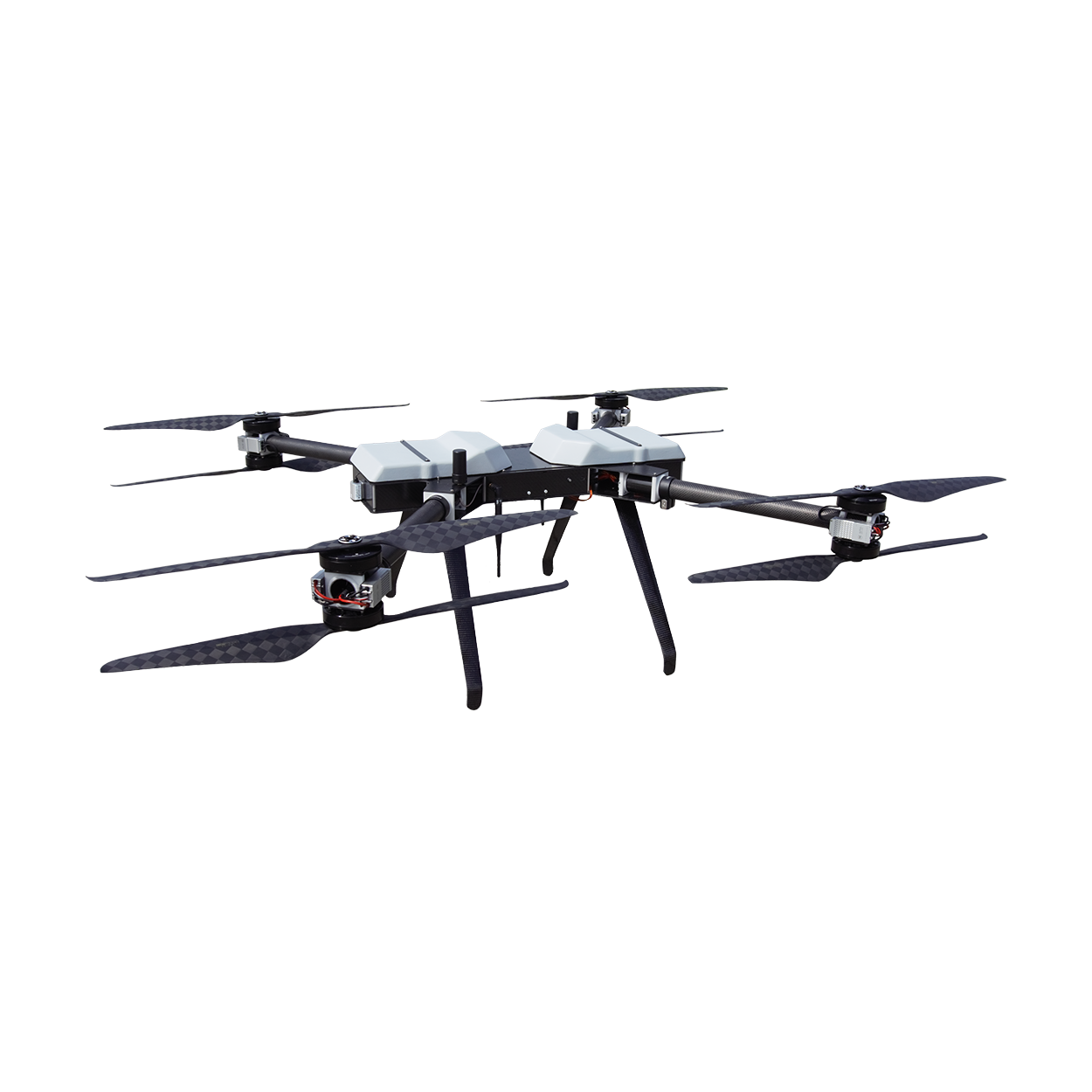
- Hanseatic X825Mk.II
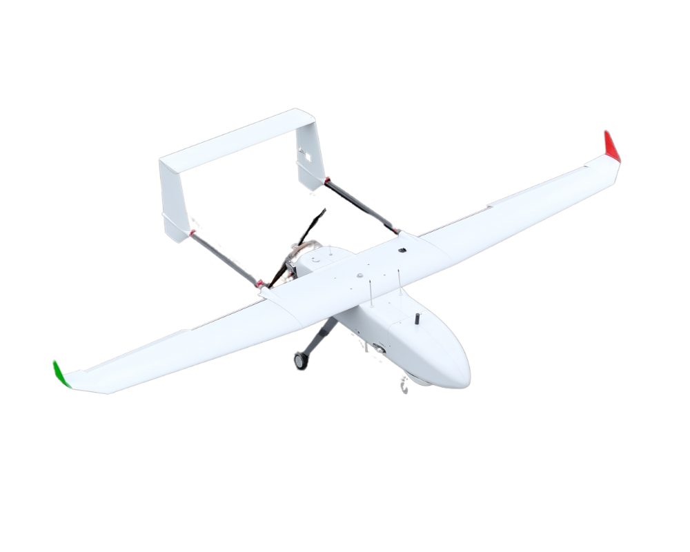
- Hanseatic S360Mk.II
- Drone accessories
- Show all
- New DJI Zenmuse L3 LiDAR system
- DJI Zenmuse S1 spotlight
- DJI Zenmuse V1 Speaker
- Feelworld 21.5" outdoor monitor (set)
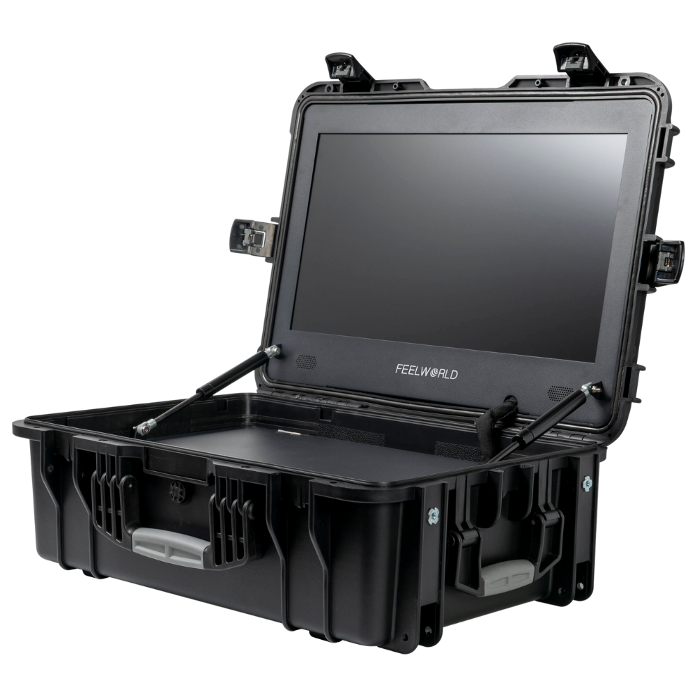
- Feelworld 21.5" monitor case (set)
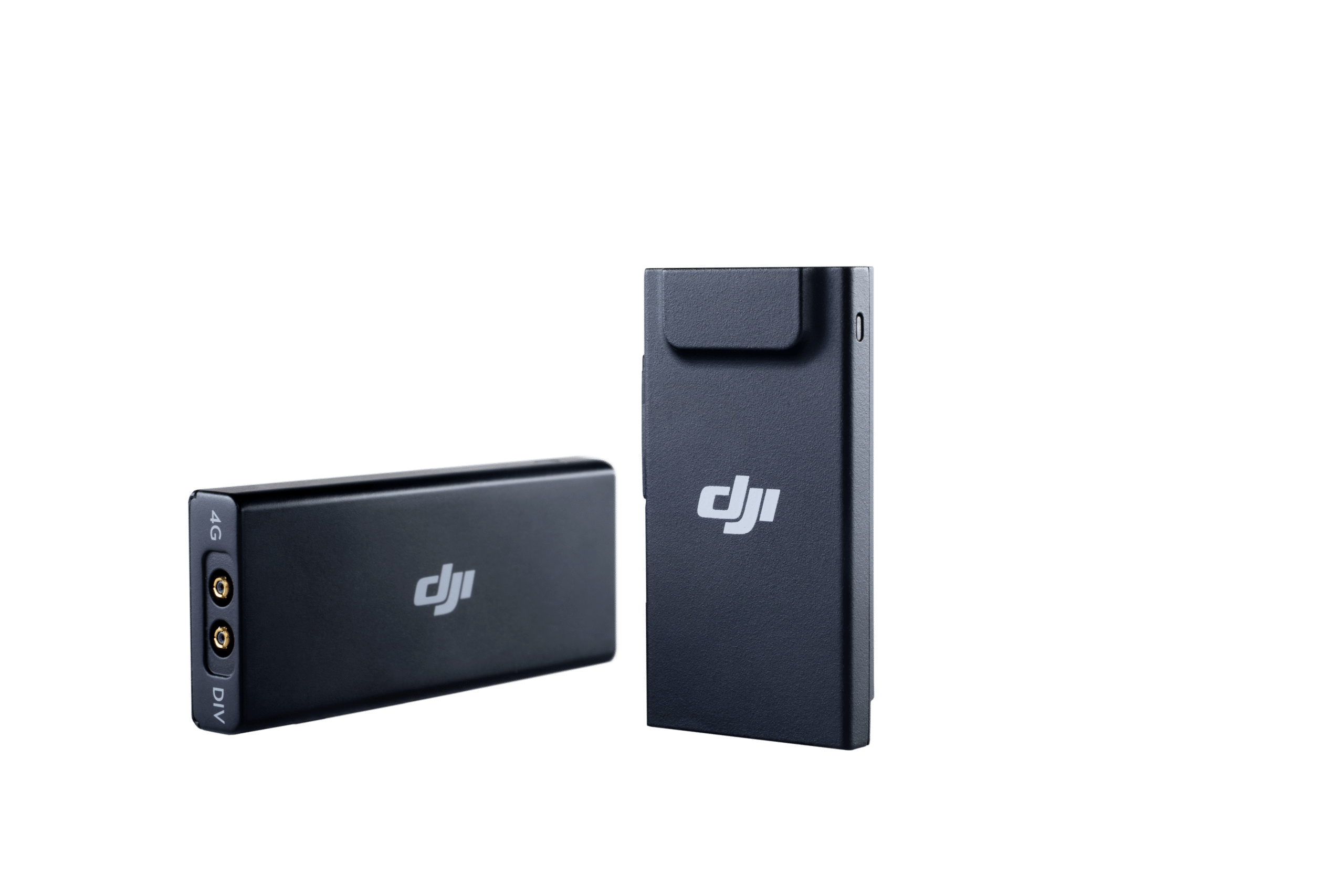
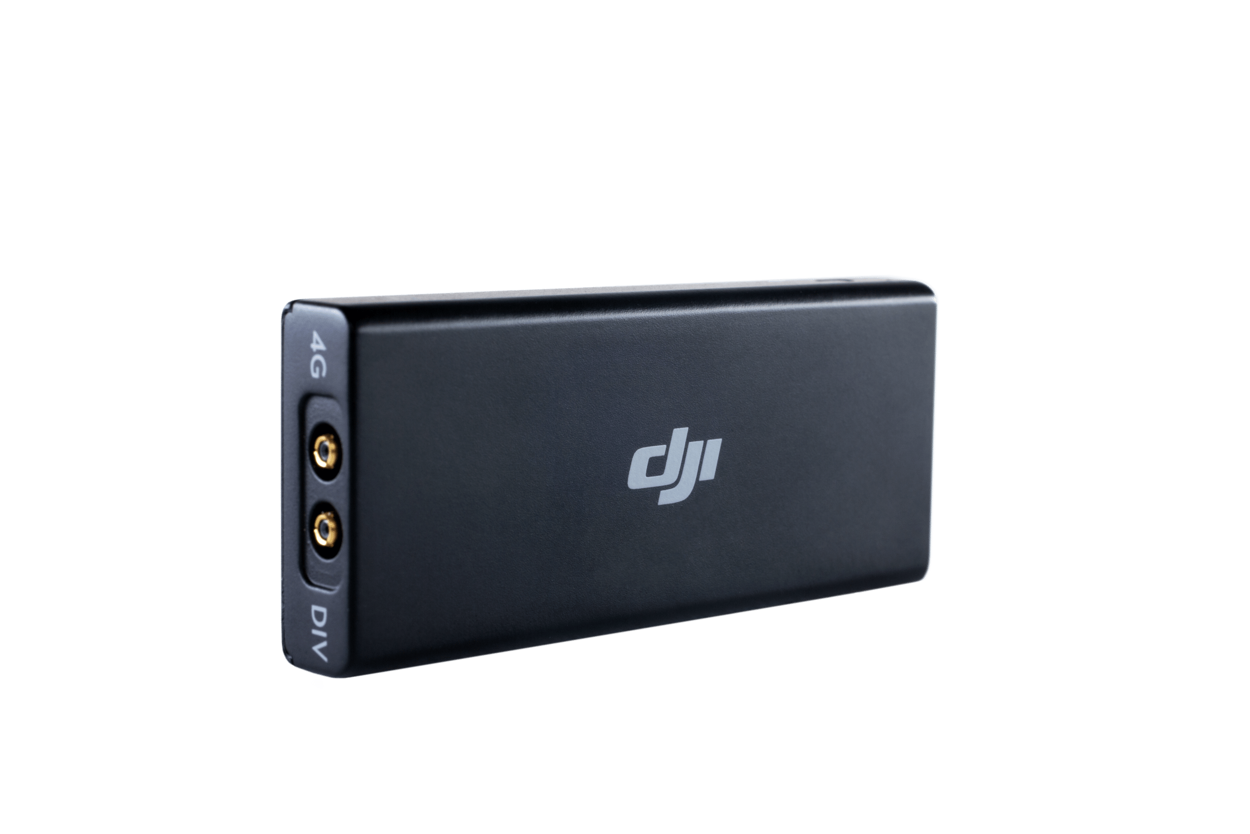
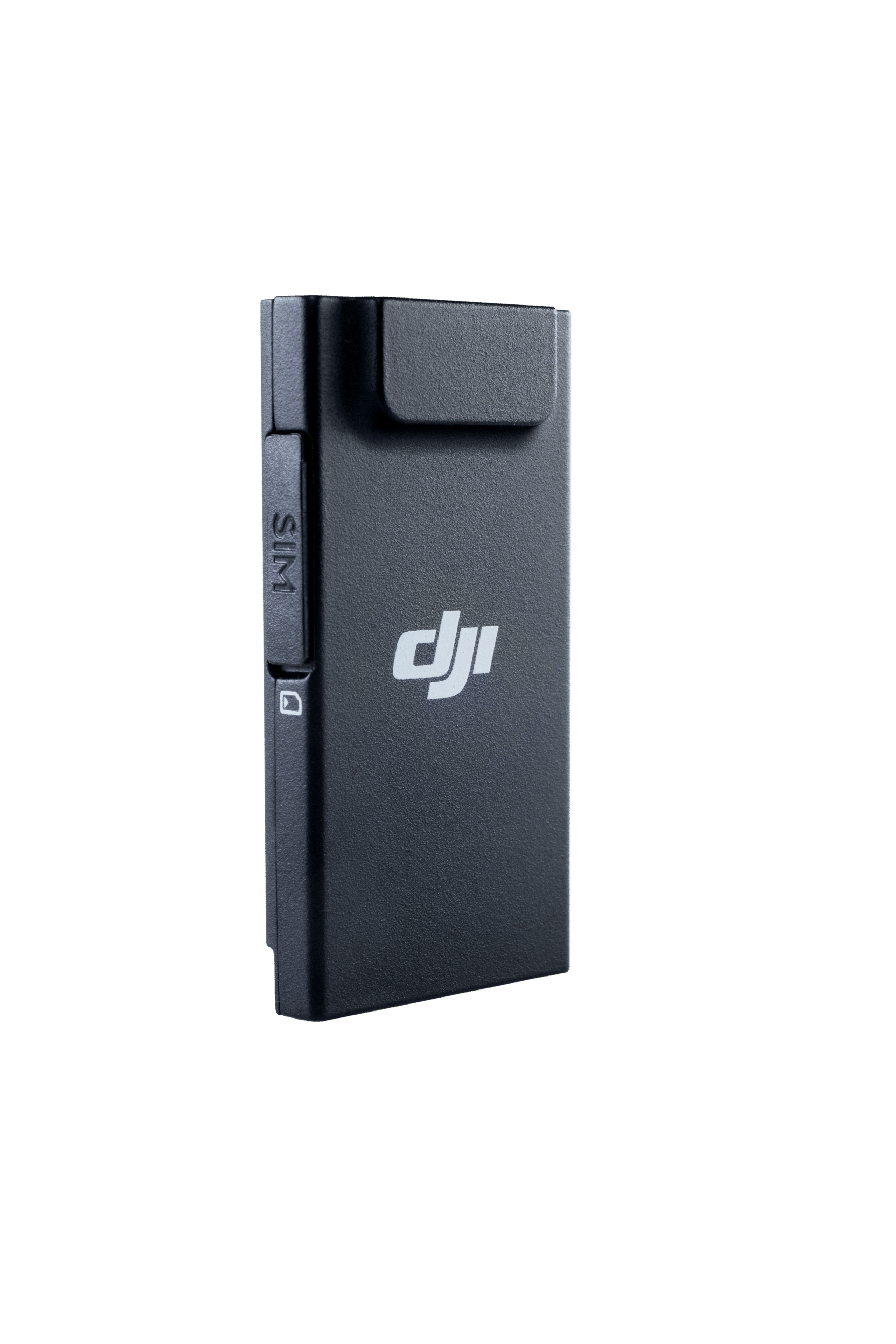
- DJI Mobile Dongle 1 or 2 - incl. SIM card/connectivity (12 months)
- DJI Mobile Dongle 1 - incl. SIM card/connectivity (12 months)
- DJI Mobile Dongle 2 - incl. SIM card/connectivity (12 months)
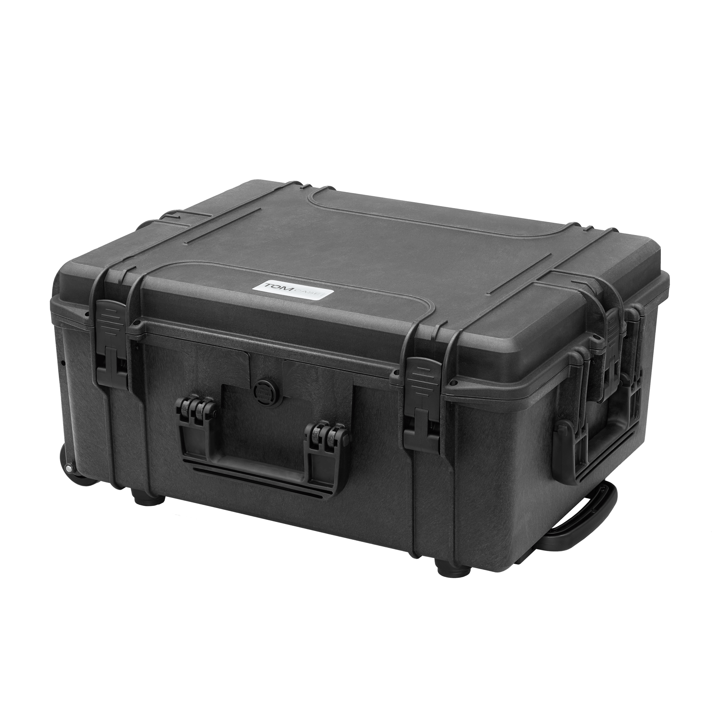
- TOMcase Transport Case - Ready to Charge for DJI Matrice 3D Series
- TOMcase Transport Case - Ready to Fly+Charge for DJI Matrice 4
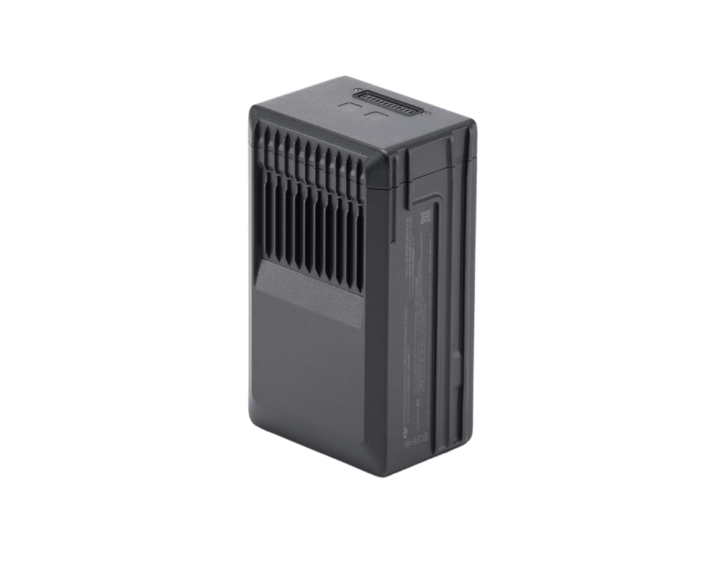
- TB65 Intelligent Flight Battery (battery for DJI Matrice 300+350 Series)
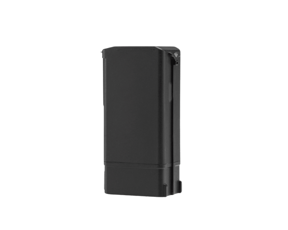
- TB30 Intelligent Flight Battery (battery for DJI Matrice 30 Series)
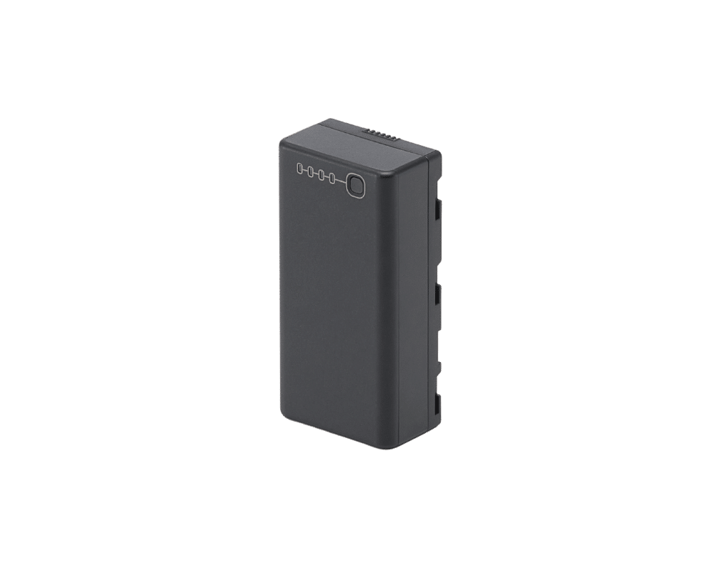
- WB37 Battery
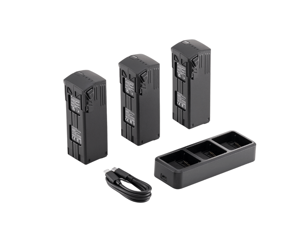
- Battery set (incl. charging station for DJI Mavic 3 Enterprise series of the C2 drone class)
- AES Power Box
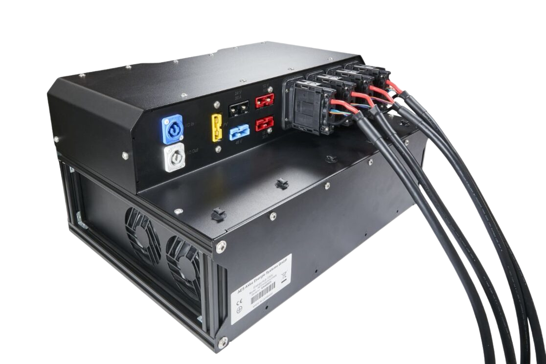
- AES EnergyHub
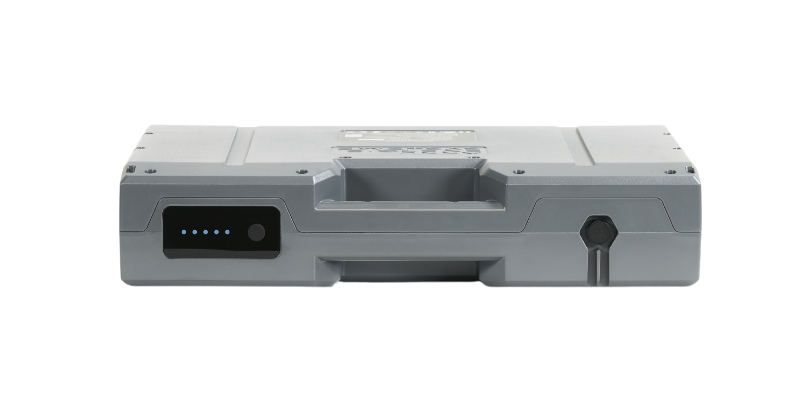
- AES SuperPack 2.0
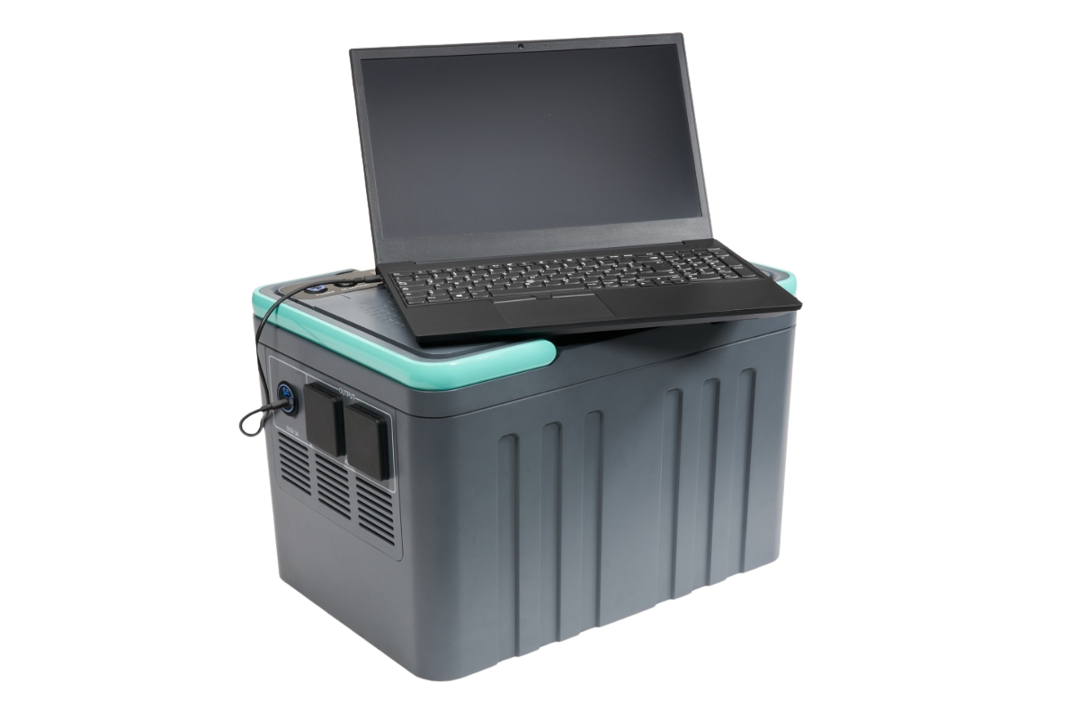
- BLUETTI AC60P Powerstation
- BLUETTI AC240P Powerstation
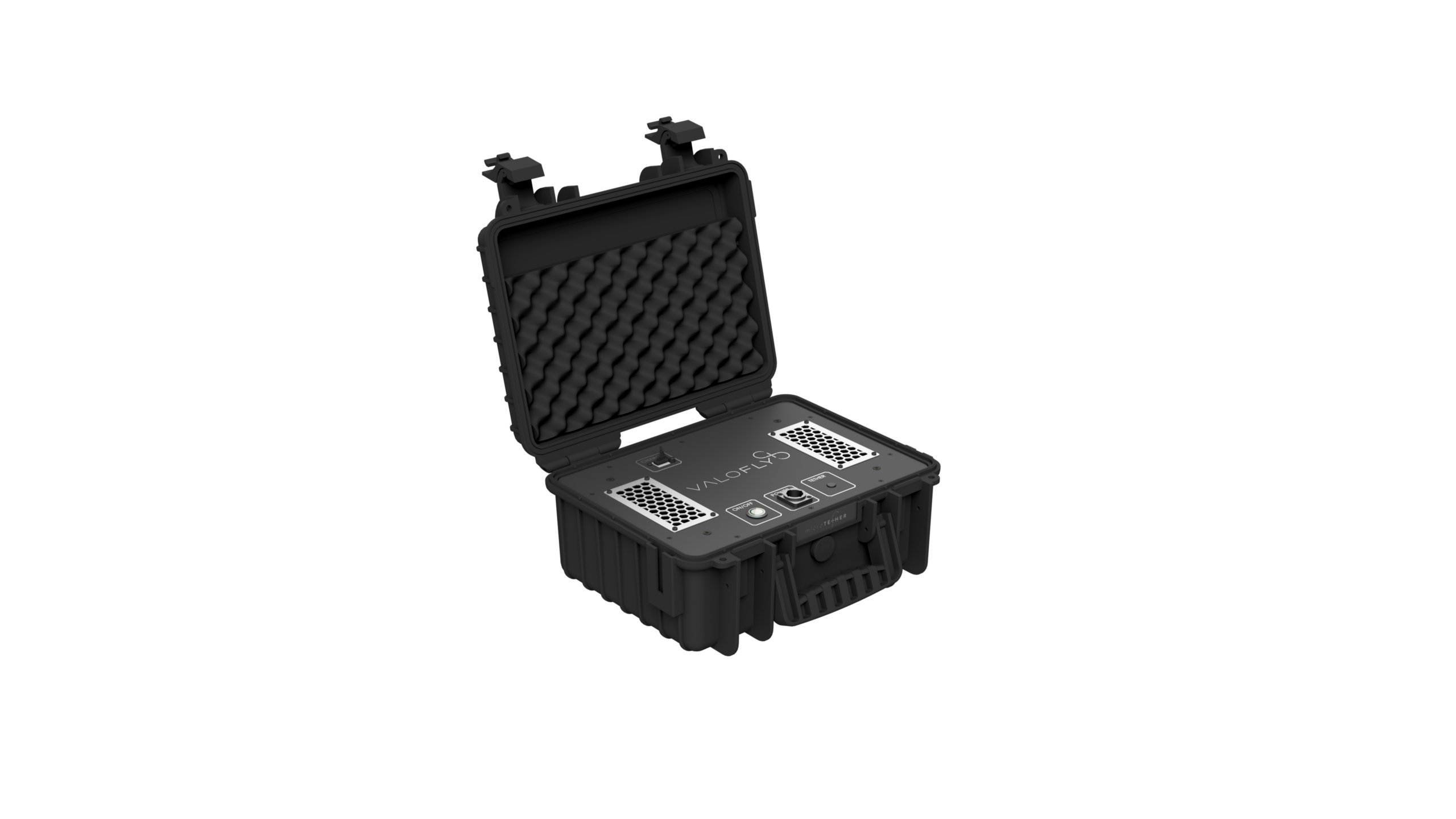
- ValoFly TGS microTether
- Drone-in-a-Box System
- Remote ID, Transponder & Anti-Collision
- Drone Detection Systems & Ground-Based Sensors
- Software
- Air Situation for Drone Pilots: TraX
- Air Situation Data Interfaces: edp & CommandX
- Show all
- New Droniq air situation interface in edp:map, 5 users - annual subscription
- New Droniq air situation interface in CommandX, 1 unit - annual subscription
- New Droniq air situation interface in CommandX, 5 units - annual subscription
- New Droniq air situation interface in CommandX, 10 units - annual subscription
- New Droniq air situation interface in CommandX, 1 federal state - annual subscription
- Traffic Management for Drones: UTM
- Drones
- Academy
- Remote pilot certificate A2 & training in the open category
- Remote pilot certificate STS & training in the special category
- Show all
- STS drone license:
Online theory exam including e-learning - UAS operation in the special category: Online training (EASA mandatory training)
- Remote Pilot Certificate STS:
In-person theory exam including e-learning - Sale Remote Pilot Certificate STS:
Refresher /
Refresher training
(e-learning)
- Remote pilot training BOS
- Services
- Knowledge
- Customer Stories
- Mainova
-
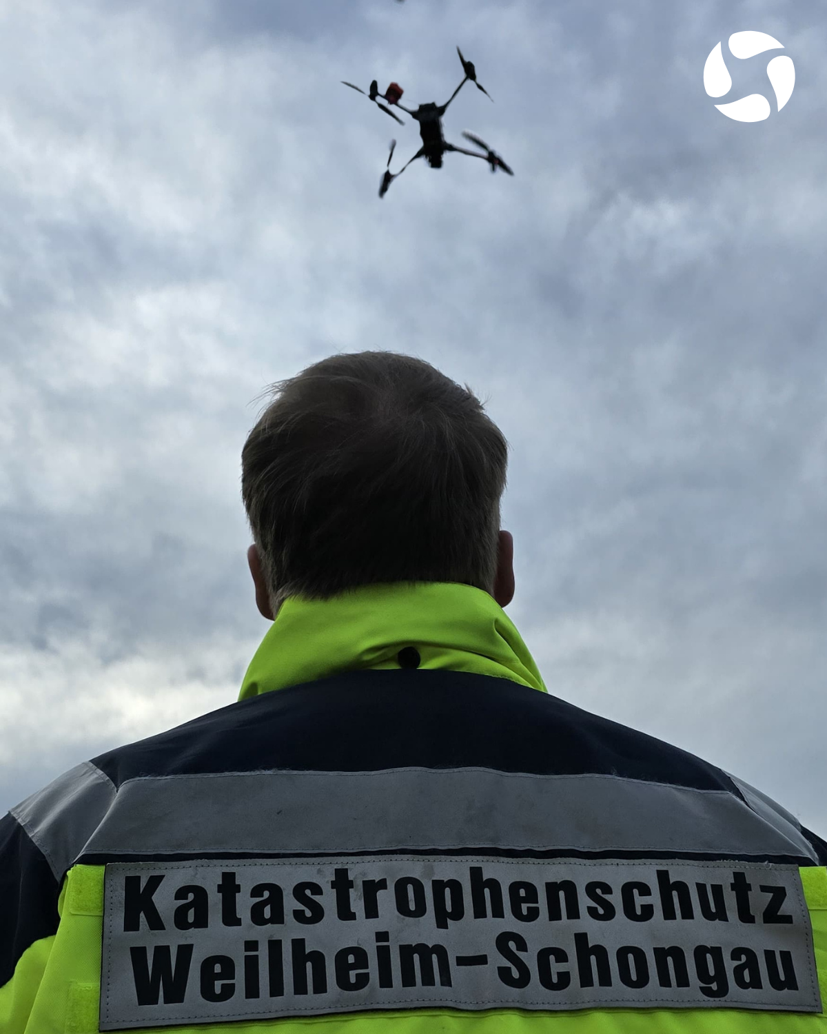
, Weilheim-Schongau Civil Protection - Rhineland-Palatinate Police
- FH Johanneum
- Frankfurt Fire Department
- White giant of the city of Duisburg
- Mountain rescue Hausham
- Altena fire department
- Ursa Chemistry
- Mobile Geophysical Technologies GmbH
- Civil protection of the city of Leonberg
- Ice Wolf 2025
- Kiel Fire Department
- Waldsassen Monastery Church
- Telekom Security
- Frankfurt am Main Transport Company (VGF)
- Röhm plant fire department
- ABGnova
- DFMG Deutsche Funkturm
- Paderborn District
- Evonik
- FlyNex / MITNETZ STROM
- LARUS
- Thyssengas
- Wingcopter
-
- Funding projects
- Customer Stories









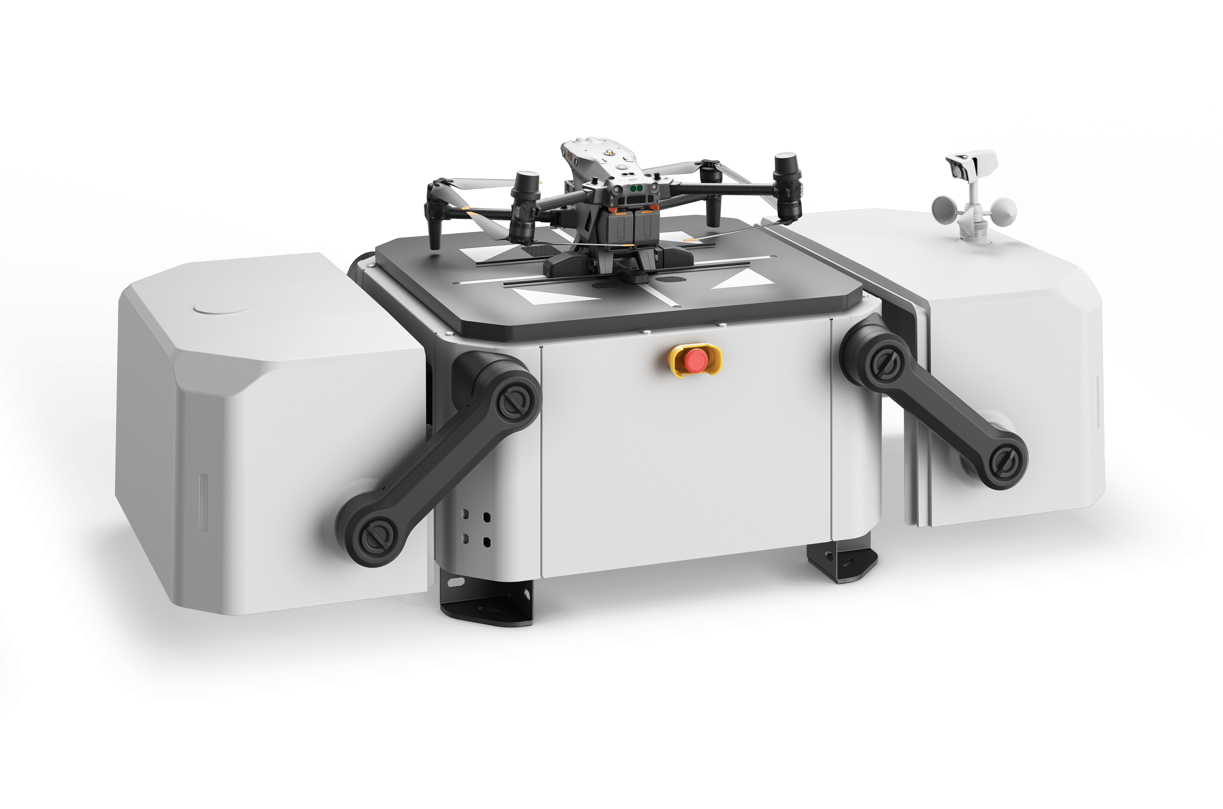


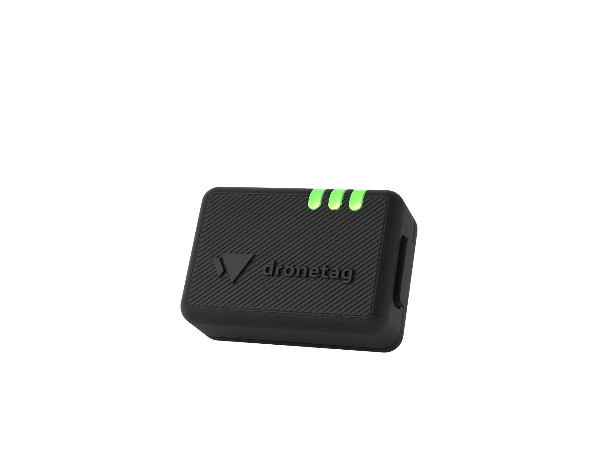


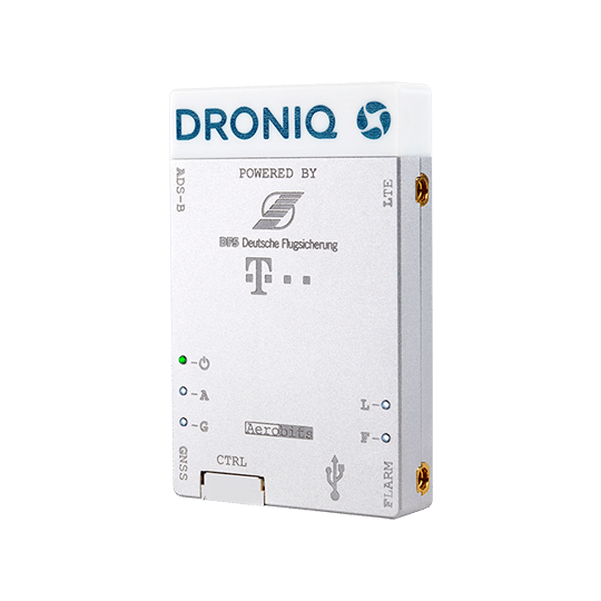
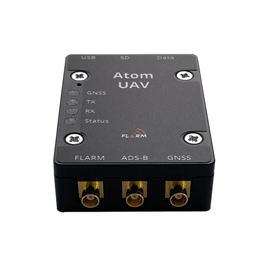



























- Shop
- Drones
- Show all
- DJI Mavic 3 Multispectral
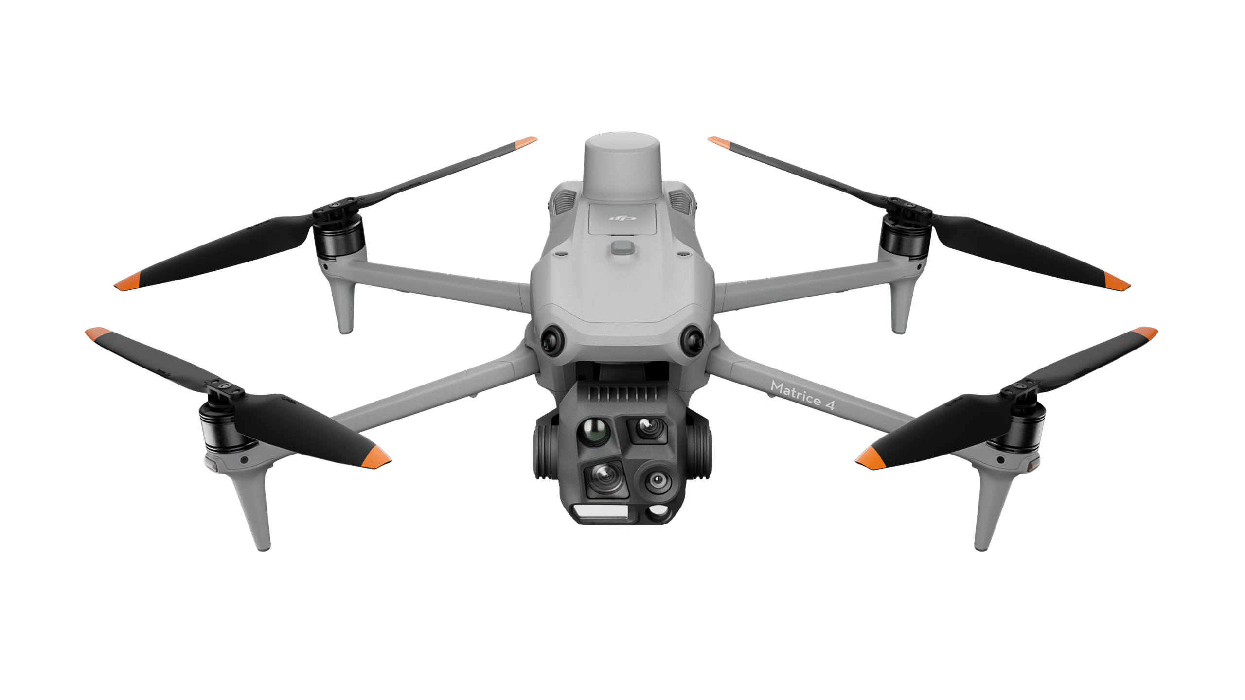
- New DJI Matrice 4T
- New DJI Matrice 4E
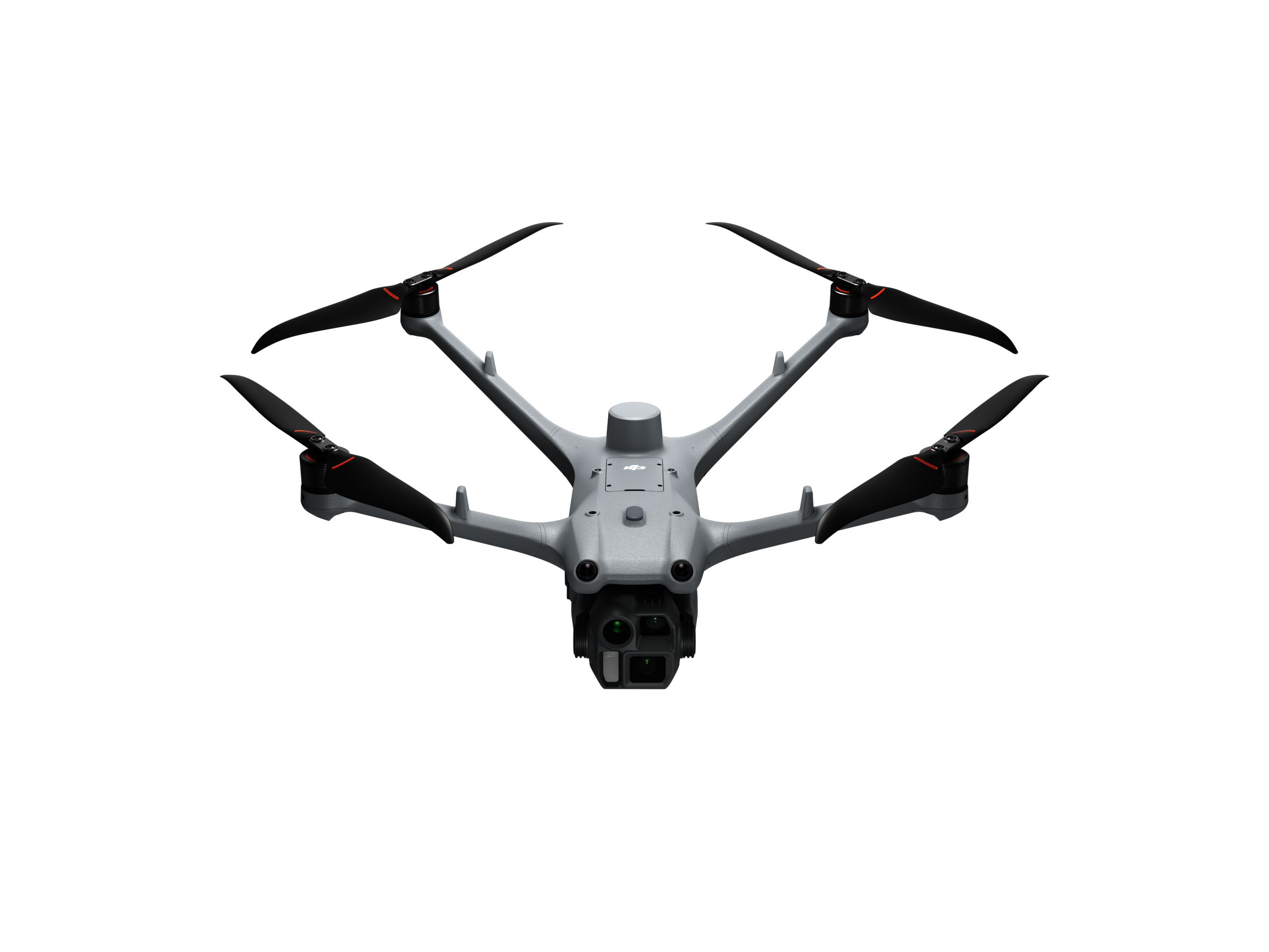
- New DJI Matrice 4D Standalone
- New DJI Matrice 4TD Standalone
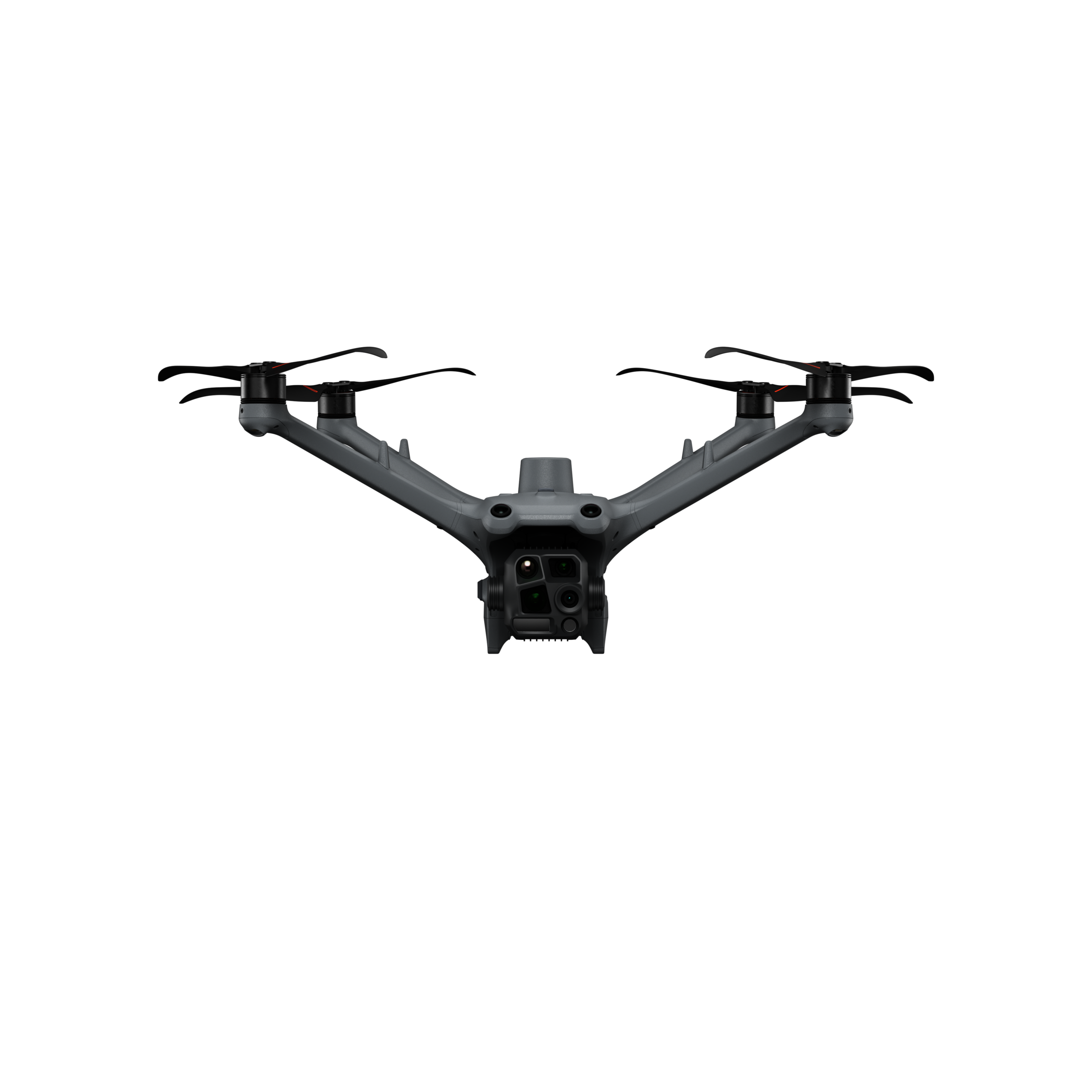
- New DJI Matrice 4D
- New DJI Matrice 4TD
- New DJI Matrice M400
- DJI FlyCart 30 transport drone
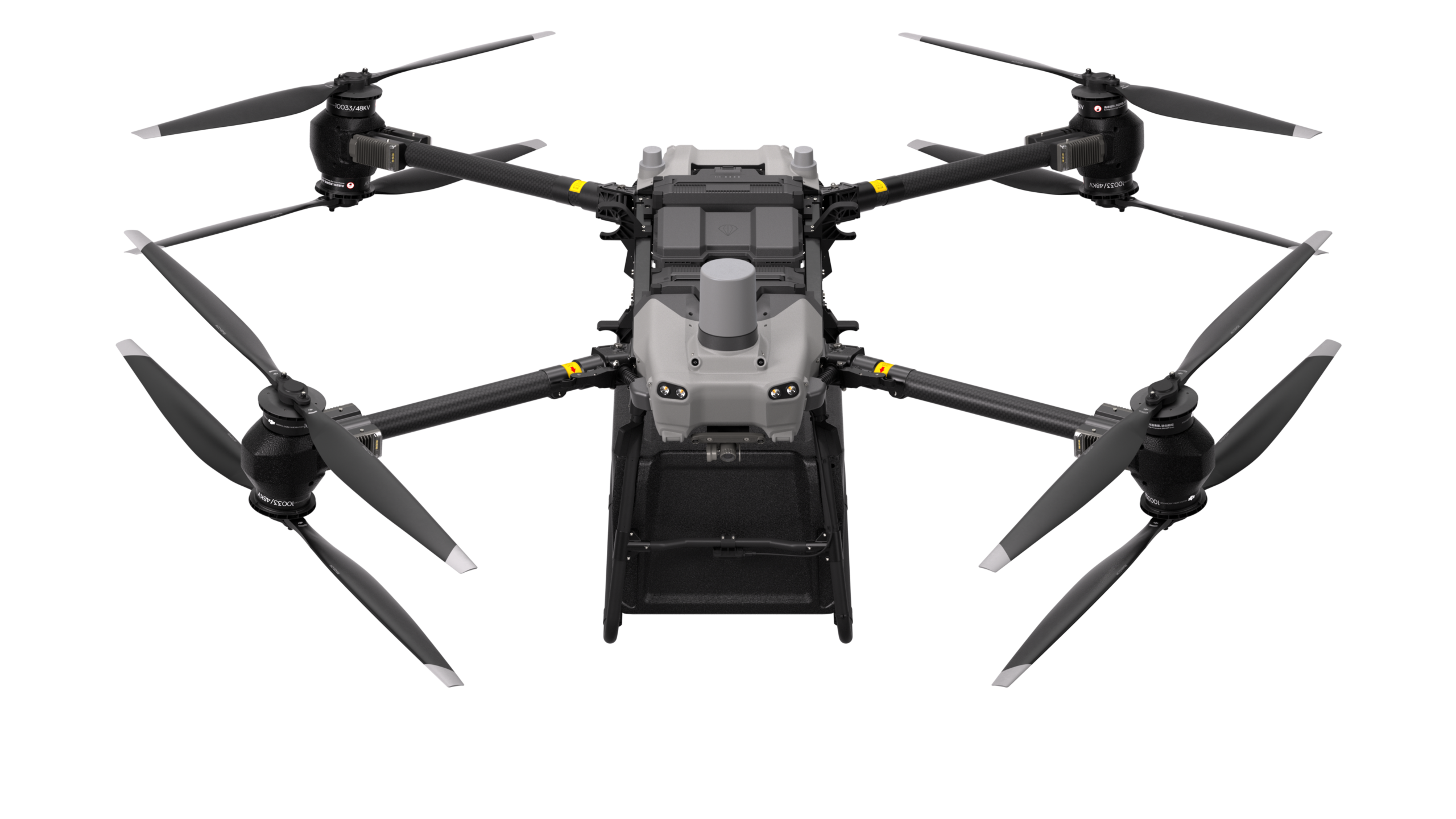
- New DJI FlyCart 100 Heavy-duty transport drone
- Avy Aera
- Hanseatic X825Mk.II
- Hanseatic S360Mk.II
- Drone accessories
- Show all
- New DJI Zenmuse L3 LiDAR system
- DJI Zenmuse S1 spotlight
- DJI Zenmuse V1 Speaker
- Feelworld 21.5" outdoor monitor (set)
- Feelworld 21.5" monitor case (set)
- DJI Mobile Dongle 1 or 2 - incl. SIM card/connectivity (12 months)
- DJI Mobile Dongle 1 - incl. SIM card/connectivity (12 months)
- DJI Mobile Dongle 2 - incl. SIM card/connectivity (12 months)
- TOMcase Transport Case - Ready to Charge for DJI Matrice 3D Series
- TOMcase Transport Case - Ready to Fly+Charge for DJI Matrice 4
- TB65 Intelligent Flight Battery (battery for DJI Matrice 300+350 Series)
- TB30 Intelligent Flight Battery (battery for DJI Matrice 30 Series)
- WB37 Battery
- Battery set (incl. charging station for DJI Mavic 3 Enterprise series of the C2 drone class)
- AES Power Box
- AES EnergyHub
- AES SuperPack 2.0
- BLUETTI AC60P Powerstation
- BLUETTI AC240P Powerstation
- ValoFly TGS microTether
- Drone-in-a-Box System
- Remote ID, Transponder & Anti-Collision
- Drone Detection Systems & Ground-Based Sensors
- Software
- Air Situation for Drone Pilots: TraX
- Air Situation Data Interfaces: edp & CommandX
- Show all
- New Droniq air situation interface in edp:map, 5 users - annual subscription
- New Droniq air situation interface in CommandX, 1 unit - annual subscription
- New Droniq air situation interface in CommandX, 5 units - annual subscription
- New Droniq air situation interface in CommandX, 10 units - annual subscription
- New Droniq air situation interface in CommandX, 1 federal state - annual subscription
- Traffic Management for Drones: UTM
- Drones
- Academy
- Remote pilot certificate A2 & training in the open category
- Remote pilot certificate STS & training in the special category
- Show all
- STS drone license:
Online theory exam including e-learning - UAS operation in the special category: Online training (EASA mandatory training)
- Remote Pilot Certificate STS:
In-person theory exam including e-learning - Sale Remote Pilot Certificate STS:
Refresher /
Refresher training
(e-learning)
- Remote pilot training BOS
- Services
- Knowledge
- Customer Stories
- Mainova
-
, Weilheim-Schongau Civil Protection - Rhineland-Palatinate Police
- FH Johanneum
- Frankfurt Fire Department
- White giant of the city of Duisburg
- Mountain rescue Hausham
- Altena fire department
- Ursa Chemistry
- Mobile Geophysical Technologies GmbH
- Civil protection of the city of Leonberg
- Ice Wolf 2025
- Kiel Fire Department
- Waldsassen Monastery Church
- Telekom Security
- Frankfurt am Main Transport Company (VGF)
- Röhm plant fire department
- ABGnova
- DFMG Deutsche Funkturm
- Paderborn District
- Evonik
- FlyNex / MITNETZ STROM
- LARUS
- Thyssengas
- Wingcopter
-
- Funding projects
- Customer Stories
- Shop
- Drones
- Show all
- DJI Mavic 3 Multispectral
- New DJI Matrice 4T
- New DJI Matrice 4E
- New DJI Matrice 4D Standalone
- New DJI Matrice 4TD Standalone
- New DJI Matrice 4D
- New DJI Matrice 4TD
- New DJI Matrice M400
- DJI FlyCart 30 transport drone
- New DJI FlyCart 100 Heavy-duty transport drone
- Avy Aera
- Hanseatic X825Mk.II
- Hanseatic S360Mk.II
- Drone accessories
- Show all
- New DJI Zenmuse L3 LiDAR system
- DJI Zenmuse S1 spotlight
- DJI Zenmuse V1 Speaker
- Feelworld 21.5" outdoor monitor (set)
- Feelworld 21.5" monitor case (set)
- DJI Mobile Dongle 1 or 2 - incl. SIM card/connectivity (12 months)
- DJI Mobile Dongle 1 - incl. SIM card/connectivity (12 months)
- DJI Mobile Dongle 2 - incl. SIM card/connectivity (12 months)
- TOMcase Transport Case - Ready to Charge for DJI Matrice 3D Series
- TOMcase Transport Case - Ready to Fly+Charge for DJI Matrice 4
- TB65 Intelligent Flight Battery (battery for DJI Matrice 300+350 Series)
- TB30 Intelligent Flight Battery (battery for DJI Matrice 30 Series)
- WB37 Battery
- Battery set (incl. charging station for DJI Mavic 3 Enterprise series of the C2 drone class)
- AES Power Box
- AES EnergyHub
- AES SuperPack 2.0
- BLUETTI AC60P Powerstation
- BLUETTI AC240P Powerstation
- ValoFly TGS microTether
- Drone-in-a-Box System
- Remote ID, Transponder & Anti-Collision
- Drone Detection Systems & Ground-Based Sensors
- Software
- Air Situation for Drone Pilots: TraX
- Air Situation Data Interfaces: edp & CommandX
- Show all
- New Droniq air situation interface in edp:map, 5 users - annual subscription
- New Droniq air situation interface in CommandX, 1 unit - annual subscription
- New Droniq air situation interface in CommandX, 5 units - annual subscription
- New Droniq air situation interface in CommandX, 10 units - annual subscription
- New Droniq air situation interface in CommandX, 1 federal state - annual subscription
- Traffic Management for Drones: UTM
- Drones
- Academy
- Remote pilot certificate A2 & training in the open category
- Remote pilot certificate STS & training in the special category
- Show all
- STS drone license:
Online theory exam including e-learning - UAS operation in the special category: Online training (EASA mandatory training)
- Remote Pilot Certificate STS:
In-person theory exam including e-learning - Sale Remote Pilot Certificate STS:
Refresher /
Refresher training
(e-learning)
- Remote pilot training BOS
- Services
- Knowledge
- Customer Stories
- Mainova
-
, Weilheim-Schongau Civil Protection - Rhineland-Palatinate Police
- FH Johanneum
- Frankfurt Fire Department
- White giant of the city of Duisburg
- Mountain rescue Hausham
- Altena fire department
- Ursa Chemistry
- Mobile Geophysical Technologies GmbH
- Civil protection of the city of Leonberg
- Ice Wolf 2025
- Kiel Fire Department
- Waldsassen Monastery Church
- Telekom Security
- Frankfurt am Main Transport Company (VGF)
- Röhm plant fire department
- ABGnova
- DFMG Deutsche Funkturm
- Paderborn District
- Evonik
- FlyNex / MITNETZ STROM
- LARUS
- Thyssengas
- Wingcopter
-
- Funding projects
- Customer Stories
Language