Web app

New

TraX Plus – Monthly Subscription

App and web app for safe drone flights with real-time airspace information, alerts, and flight validation

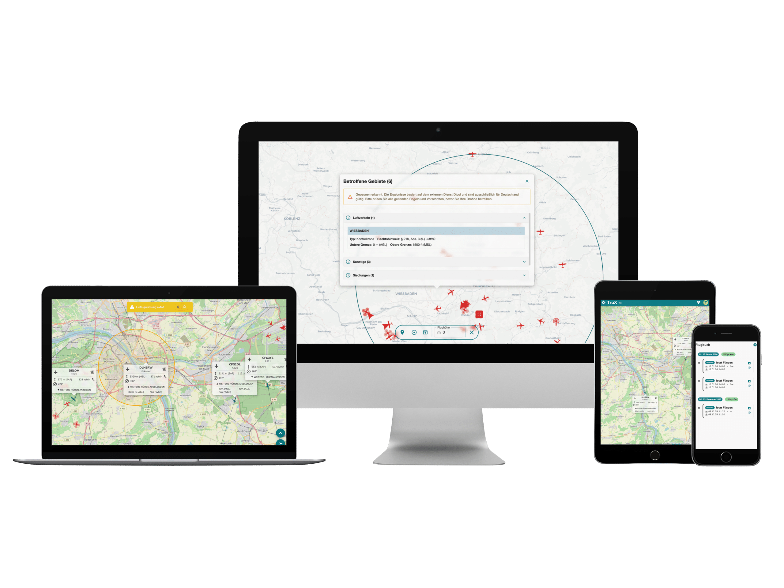
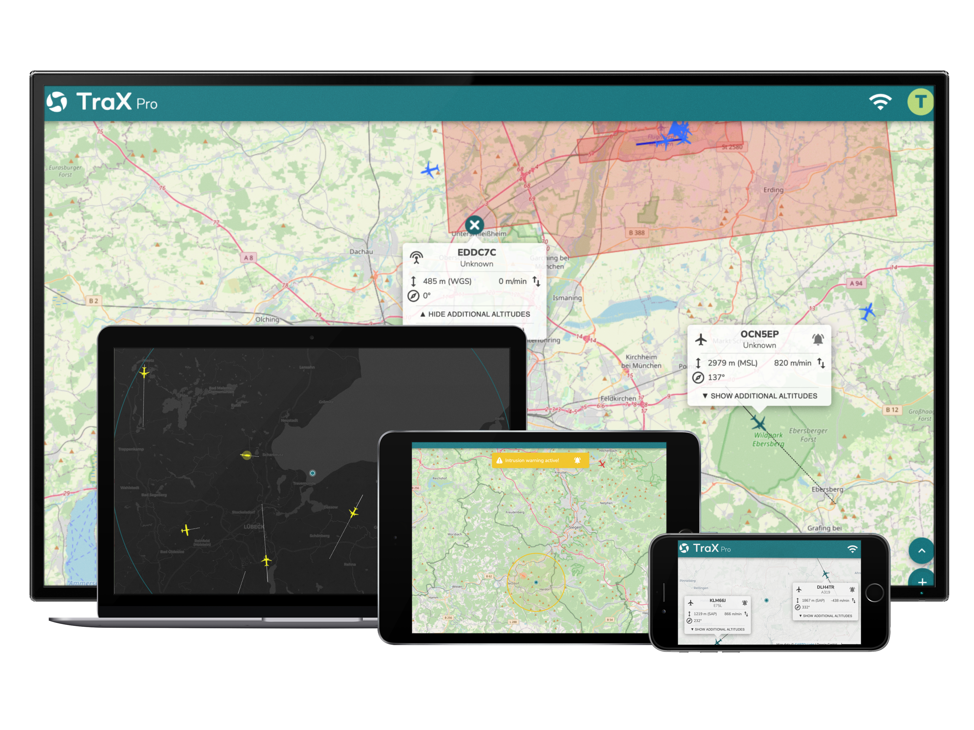
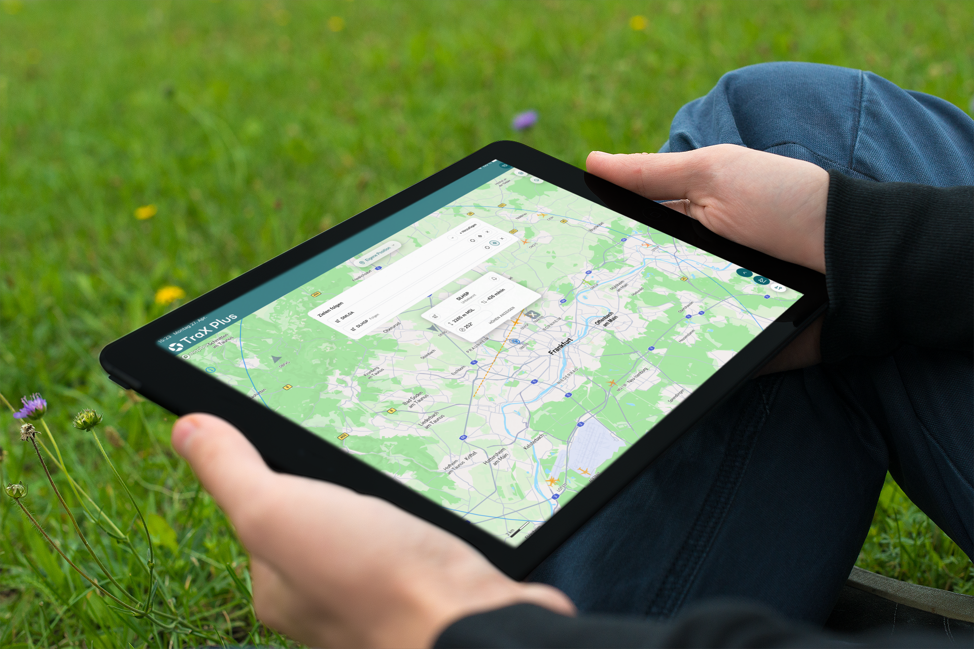
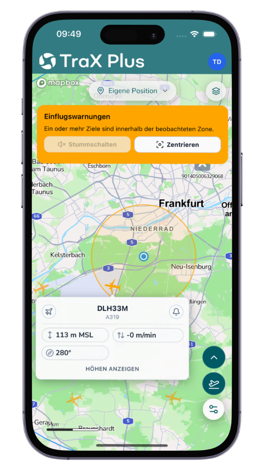
Check your flight location in seconds, view your active flight zone, and keep an eye on the live air traffic situation around your mission area. With alerts, weather information, target tracking, a flight log, and relevant air traffic data, TraX Plus helps you safely plan, execute, and document your drone missions—all with a flexible monthly subscription.

5,03 € plus VAT.
5,99 € incl. VAT.
Delivery time: Online access within 1 working day of ordering. Monthly billing.
Do you have questions about the product? Contact form
5,03 € plus VAT.
5,99 € incl. VAT.
Delivery time: Online access within 1 working day of ordering. Monthly billing.
Do you have questions about the product? Contact form
Tel. +49 69 509 547 400 | Mail. info@droniq. de

Product features

User license
Personal single user license
Notice period
14 days
Subscription
Monthly subscription with monthly billing.
Language
German & English
Contract period
1 month
Manufacturer
Droniq

Advantages

  • Flexible monthly usage: Ideal for regular drone operations without a long-term commitment.
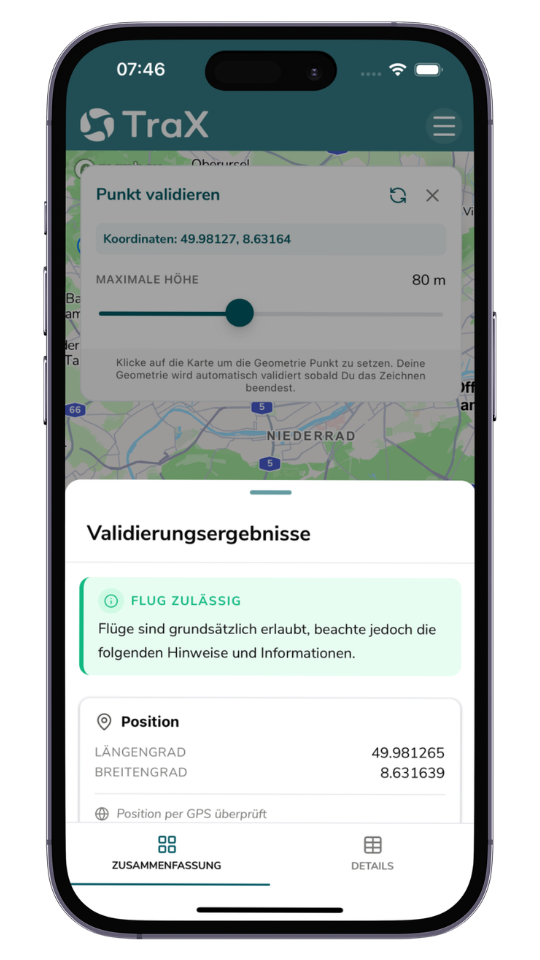
  • Quickly check a location: See in seconds whether drone flights are permitted at your desired location.
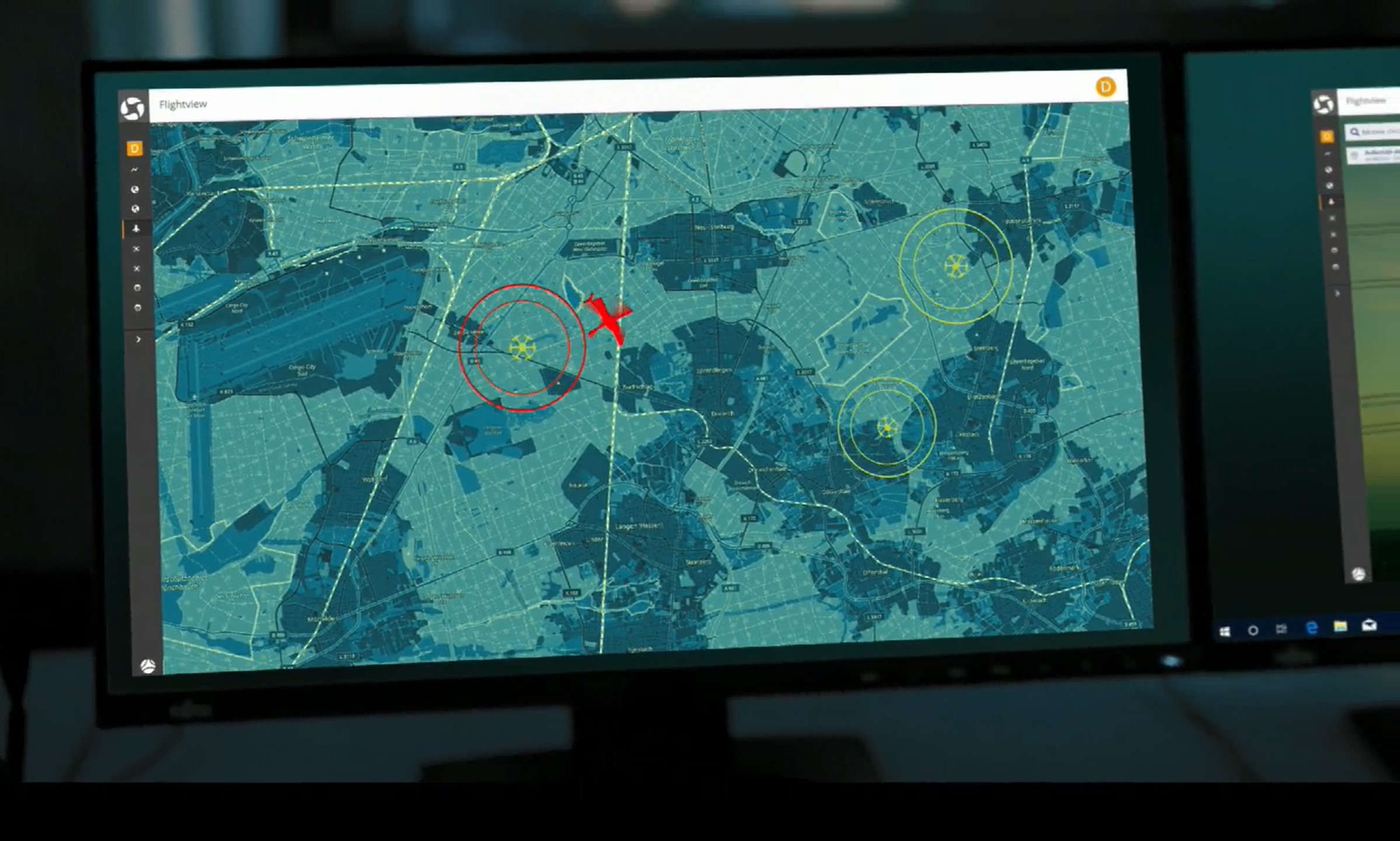
  • Real-time overview of air traffic: View relevant air traffic data for the operational area in real time.
  • Get early warnings: Visual and audible alerts help you make quick decisions.
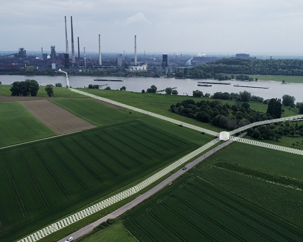
  • Show flight area: Use "Fly Now" to clearly display the active flight area.
  • Plan more effectively: Use geozones, weather information, map layers, and measurement tools directly.
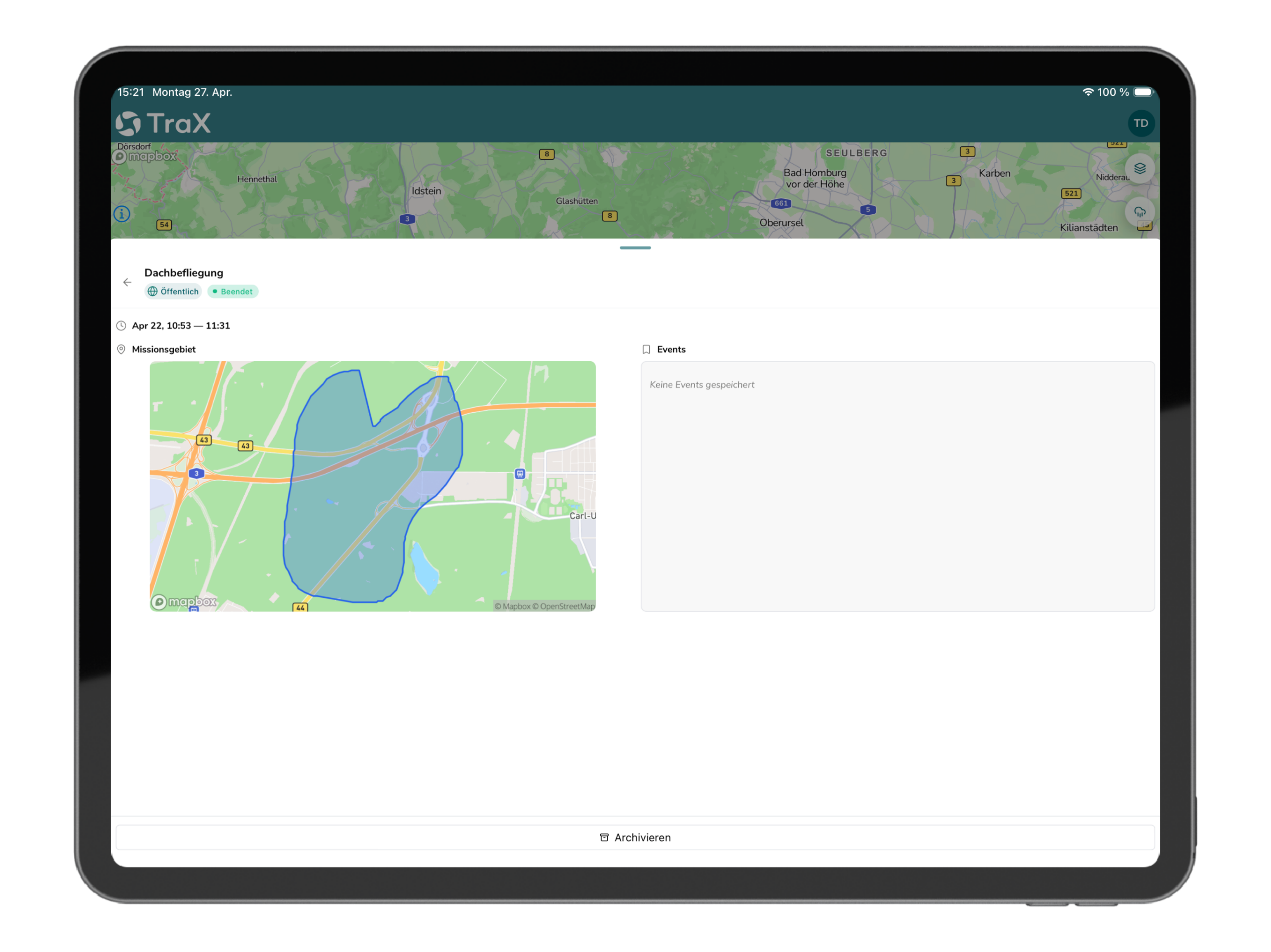
  • Recording flights: Keep a detailed log of flights in the flight logbook or mission center.
  • Available as an app and a web app: Use it on the go or via a browser on your desktop.

Intended Use of TraX Plus

TraX Plus is ideal for anyone who wants to plan drone flights more safely, monitor them in real time, and document them in a traceable manner on a regular basis. The monthly subscription is particularly convenient for users who want to use TraX Plus on a long-term or recurring basis but value flexible monthly usage.

TraX Plus is particularly well suited for:

  • Recreational pilots who want to fly safely and with confidence on a regular basis
  • commercial drone pilots
  • small and medium-sized businesses, for example in construction, roofing, or infrastructure inspections
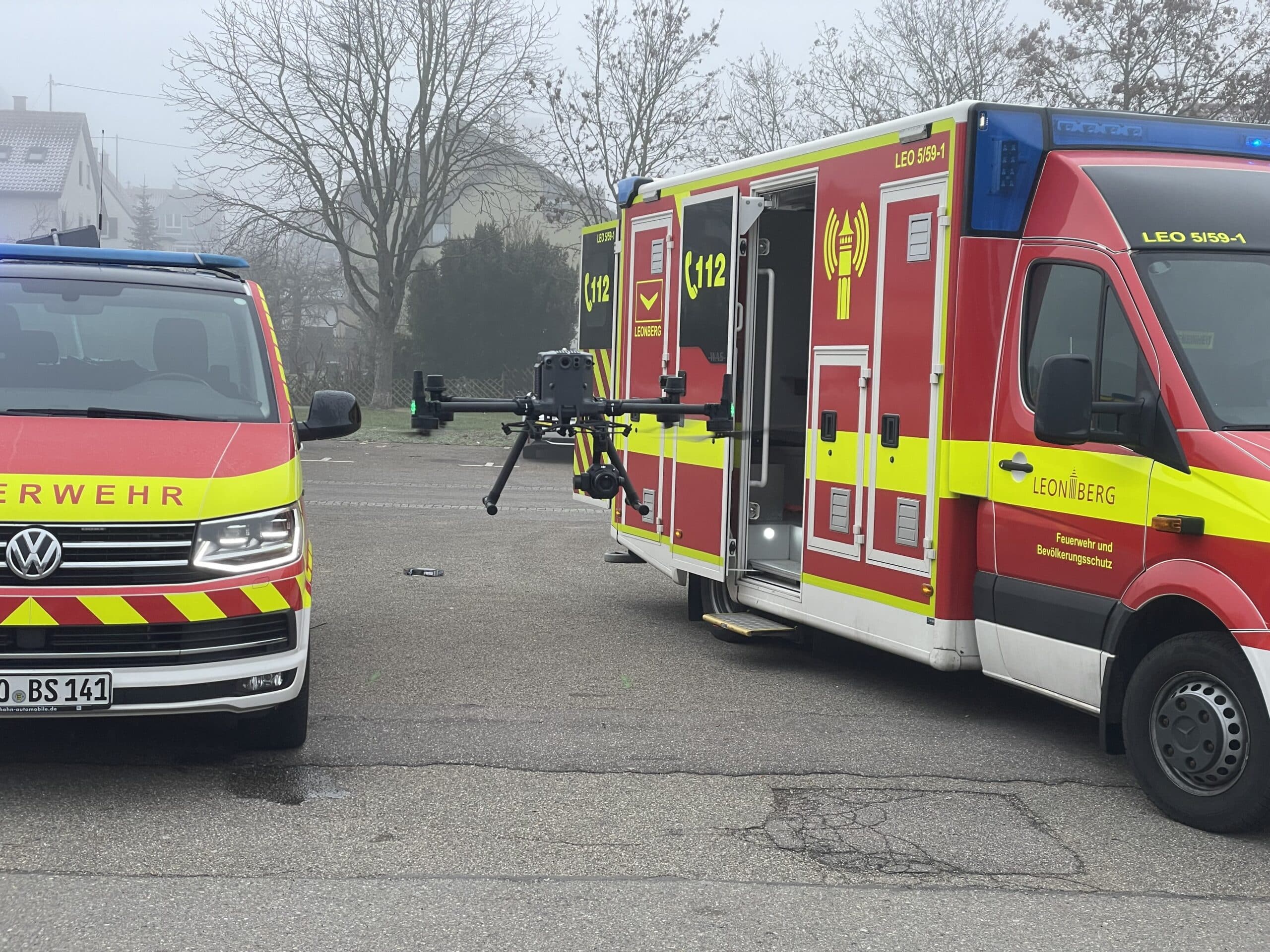
  • BOS organizations such as fire departments and emergency response teams
  • Drone operations in urban or densely populated areas
  • Companies that want to plan and document drone flights in a structured manner
  • Users who want to gain their first experience with BVLOS
  • Teams and organizations that need a reliable solution for recurring drone missions

By combining flight validation, real-time airspace data, alerts, weather information, and a flight log, TraX Plus supports safe, efficient, and transparent drone operations.

Scope of delivery

A monthly subscription with automatic renewal and monthly billing is provided for the region of Germany. The notice period is 14 days prior to the end of the term. Access to TraX Plus is provided to the user digitally.

Note for ordering: Subscription products must always be ordered individually in the store.

Feature overview of the TraX variants

ValidationTraX Free (App & Google Play Store)TraX PlusTraX ProTraX EnterpriseCan be used without logging in to the Store app
Ad-hoc validation via context menu (Can I fly here?)xxxxx
Displaying Validation Results: Summary & Detailed Viewxxxxx
Geometric validation: point, circle, line with buffer, polygonxxxxx
Validation based on adjustable heightxxxxx
Validation by adjustable class (C0–C6) / category (A1–A3, Specific)xxxx
Fly nowTraX Free (App & Google Play Store)TraX PlusTraX ProTraX EnterpriseCan be used without logging in to the Store app
Create an ad hoc mission at your current locationxxx
Automatically validate ad hoc missionsxxx
Air travelTraX Free (App & Google Play Store)TraX PlusTraX ProTraX EnterpriseCan be used without logging in to the Store app
Air Traffic Control20 km60 kmIndividual
View aircraft details (pop-up)xxx
Monitor & Track Aircraftxxx
Collision warningsTraX Free (App & Google Play Store)TraX PlusTraX ProTraX EnterpriseCan be used without logging in to the Store app
Warnings around the map centerxxx
Aircraft warningsxx
Adjustable warning height (from the ground to the set height)xxx
Adjustable warning radiusxxx
Adjustable warning repeatsxxx
Exclude LFZ from warnings: One-time, Current session, Alwaysxxx
View excluded vehicles in Settings and remove the exclusion from therexxx
Mission CenterTraX (Free)TraX PlusTraX ProTraX EnterpriseCan be used without logging in to the Store app
Create a mission manuallyxxxx
View missions in list viewxxxx
Add events to missionsxxxx
Archive missionsxxxx
Validate missionsxxxx
Publish missionsxxxx
RepresentationTraX FreeTraX PlusTraX ProTraX EnterpriseCan be used without logging in to the Store app
Maps: Standard, Light, Dark, Satellitexxxxx
Rotatable map viewxxxxx
Show Dipul Layerxxxxx
Show Airspace Layerxxx
View OpenSeaMapxxxxx
Live Layer: Active Model Airfields & Active Mission Areasxxxx
Language setting: German / Englishxxxxx
InteractionTraX Free (App & Google Play Store)TraX PlusTraX ProTraX EnterpriseCan be used without logging in to the Store app
Find your current GPS location on the mapxxxxx
Copy coordinates to the current positionxxxxx
Measuring distancesxxxxx
Upload KML filesxxx
KML files persisted locally via sessionsxxx
Onboarding Tourxxxxx
SettingTraX FreeTraX PlusTraX ProTraX EnterpriseCan be used without logging in to the Store app
Unit of distance (metric / imperial)xxxxx
Unit of height (meters / feet)xxx
Unit of horizontal speed (mph / km/h / knots)xxx
Unit: Vertical velocity (m/min / ft/min)xxx
LFZ Details: Altitude, Horizontal/Vertical Speed, Directionxx
LFZ Label: Call sign, altitude, horizontal/vertical speed, heading, squawkxx
Prioritize & add / deselect elevationsxx
Height filterxx
Permanent LFZ vectorsxx
Color-code track icons by categoryxx
Leave the display switched onxx
AccountTraX Free (App & Google Play Store)TraX PlusTraX ProTraX EnterpriseCan be used without logging in to the Store app
Set profile picturexxx
Edit details (first name, last name, language)xxx
Change Passwordxxx
Set Homepointxxx
Set default background imagexxx

System requirements

We recommend the following browsers/devices for using TraX Basic:

  • Current PC, laptop, smartphone or tablet (at least 4 GB RAM)
  • Windows 10+, macOS 11+, Android 10+, iOS 14+
  • Current browser: Chrome, Firefox, Edge or Safari
  • Stable Internet connection

Features of TraX Plus

  • Flight Planning and Flight Validation

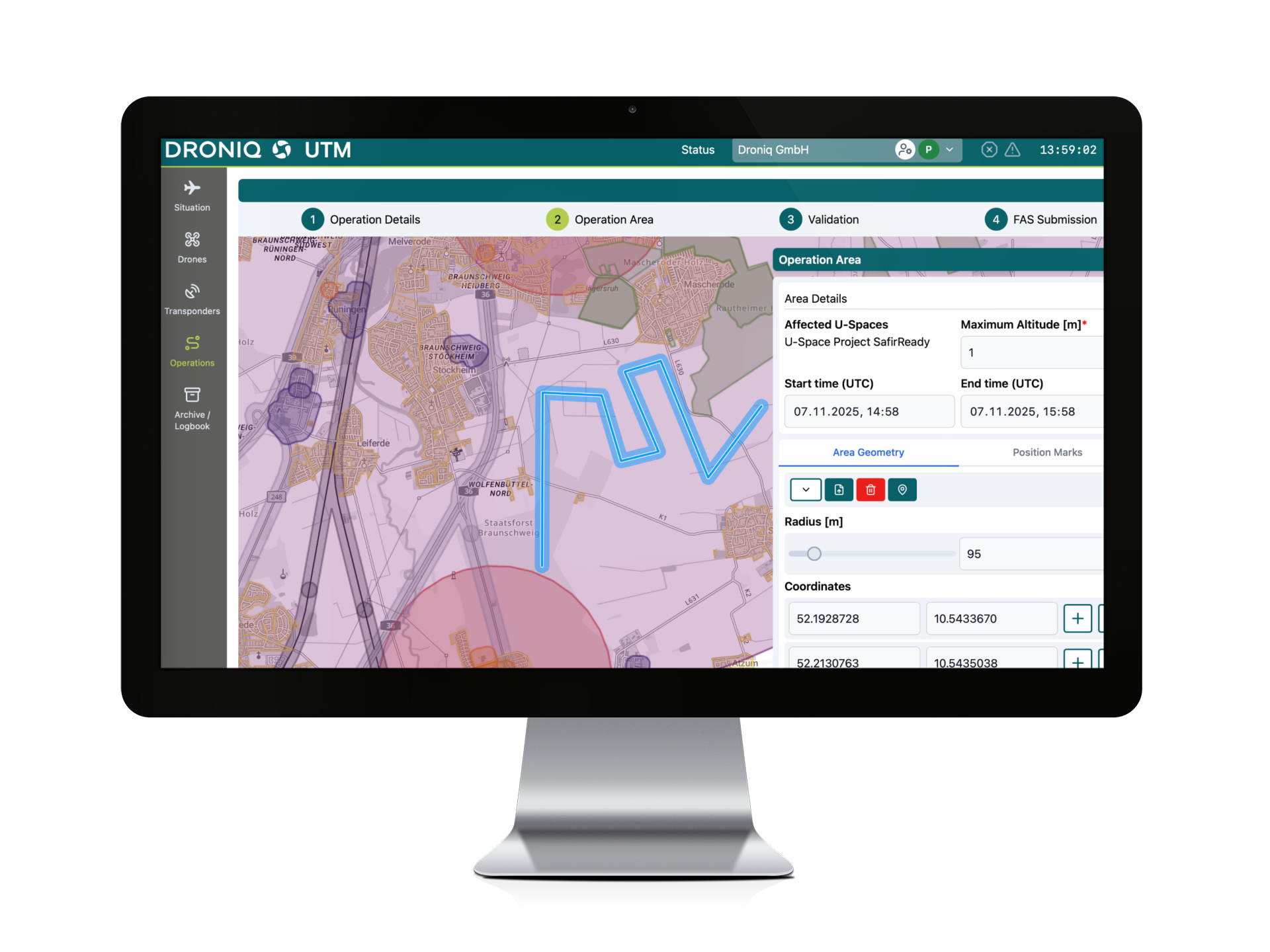
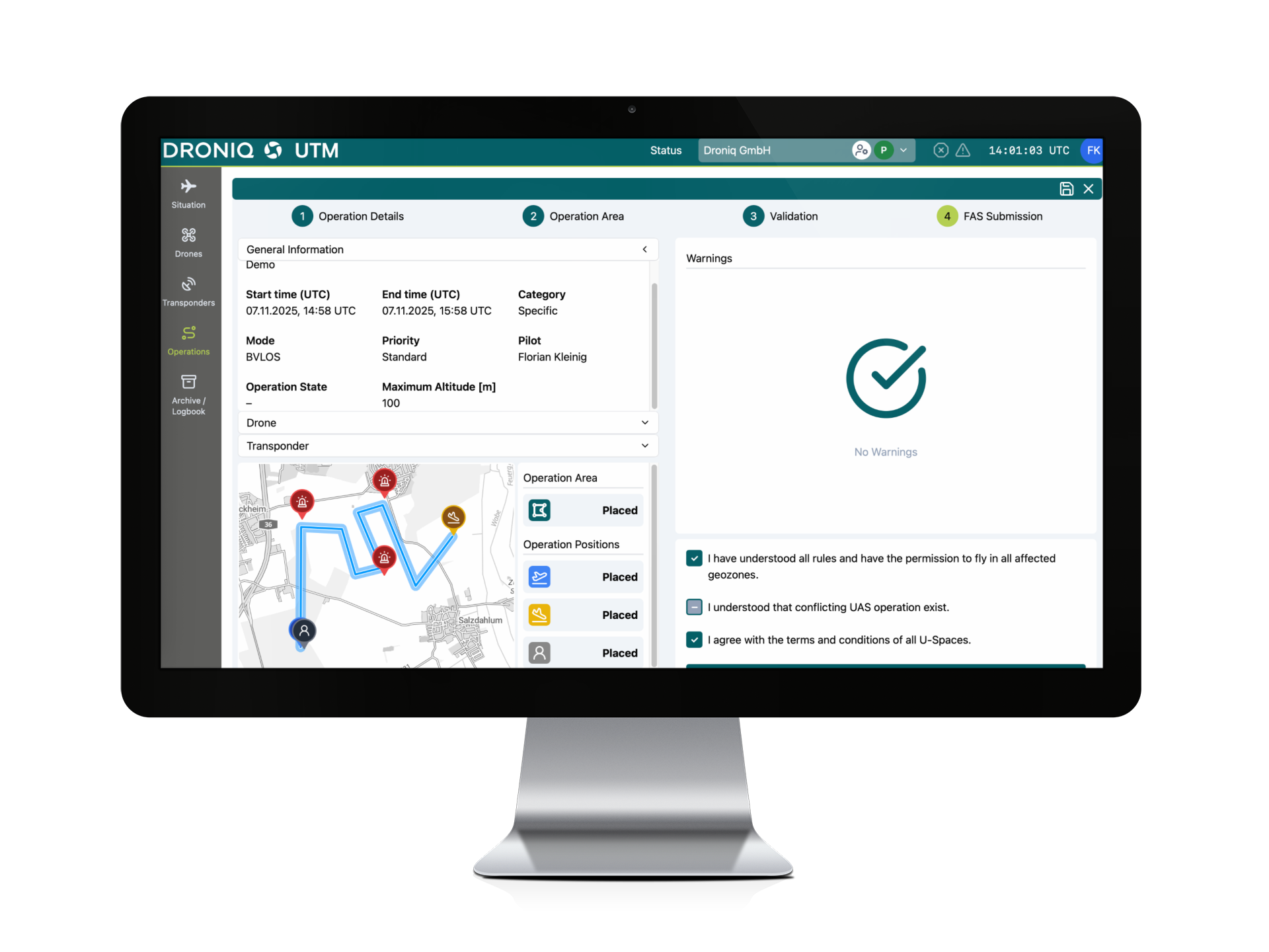
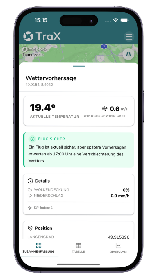
    With TraX Plus, you can check in just a few seconds whether a drone flight is possible at your desired location. The app clearly displays relevant geofences, flight restrictions, notices, and weather information. This allows you to better prepare for your mission and make informed decisions before takeoff.

  • Real-time air traffic situation and air traffic data

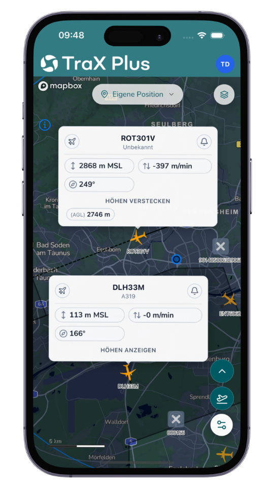
    TraX Plus displays surrounding air traffic in real time and integrates relevant data sources such as RADAR, ADS-B, and FLARM. This provides you with an up-to-date overview of the situation around your operational area and allows you to better assess movements in the airspace.

  • Warnings and Target Tracking

    Visual and audible alerts provide you with early notification of relevant developments in the airspace. In addition, you can track specific aircraft or movements, allowing you to identify potential risks more quickly and respond in a timely manner.

  • Visibility of one's own flight area

    The "Fly Now" feature allows you to display your active flight area. This increases transparency in airspace and supports safe coordination between manned and unmanned aviation.

  • Documentation and Deployment Management

    In the flight log or mission center, you can clearly document and manage your drone missions. This ensures that flights remain traceable and can be analyzed later if needed.

  • Maps, layers, and planning tools

    Various map views, geozone layers, measurement tools, and coordinate queries help you accurately plan and analyze your operational area.

  • Flexible use as an app and web app

    TraX Plus is available as a mobile app and a browser-based web app. Use the app directly at the job site, or plan your assignments conveniently on your desktop using the web app.

Our competences

Awarded several times

Multiple awards in the areas of safety, traffic and innovation.

Practice
tested

Flown more than 12,000 km of route beyond visual line of sight (BVLOS).

Full Service
Solutions

Droniq enables efficient and safe drone operations for BOS & industry.

Real
Experts

More than 100 years of know-how in aviation & telecommunications.

Questions about the product?

Fill out the form. We will call you back or contact you by email.
"*" indicates required fields

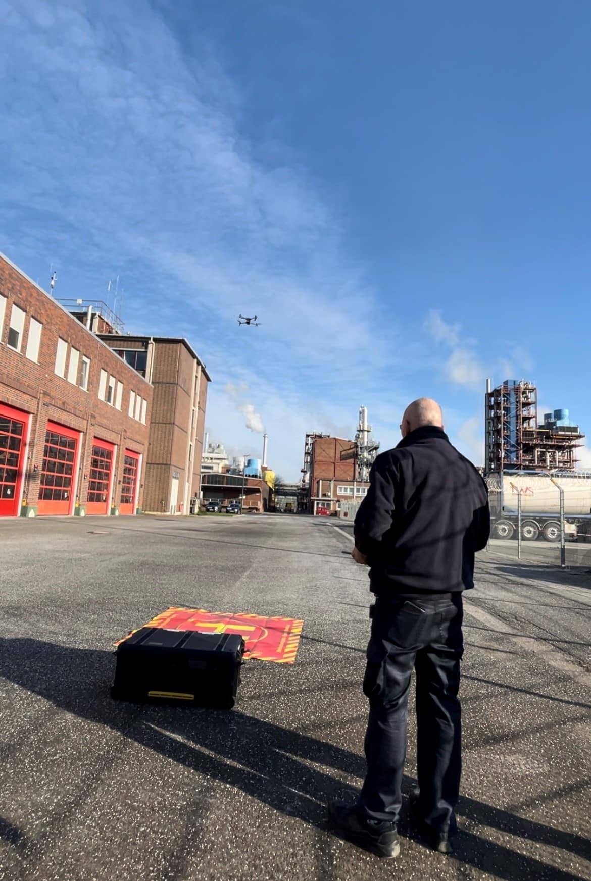
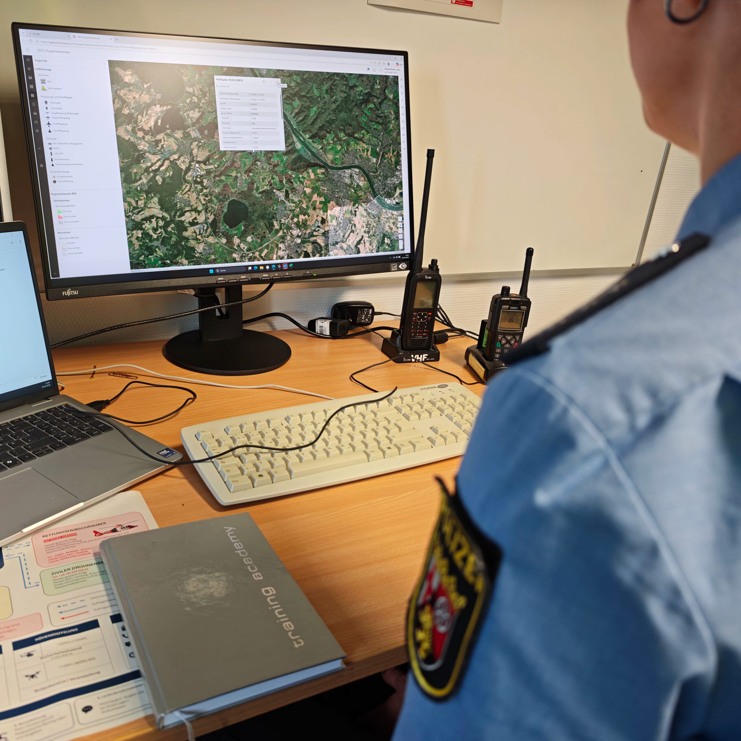
Droniq training employees with a drone
Contact