Drone detection, situational awareness, and real-time incident analysis. Ideal for critical infrastructure, industry, airports, and law enforcement.
New
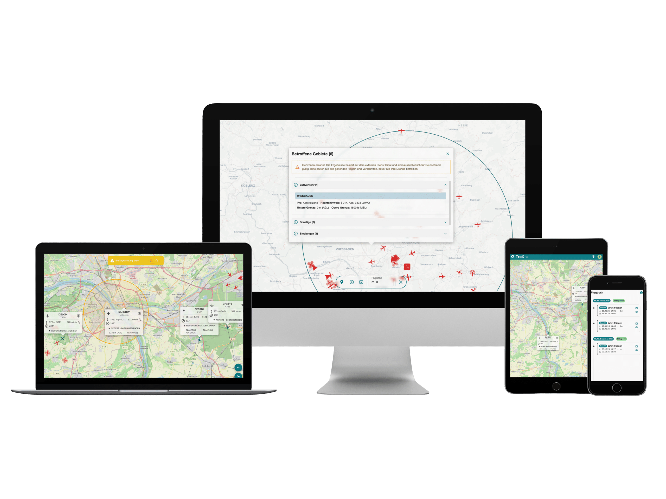
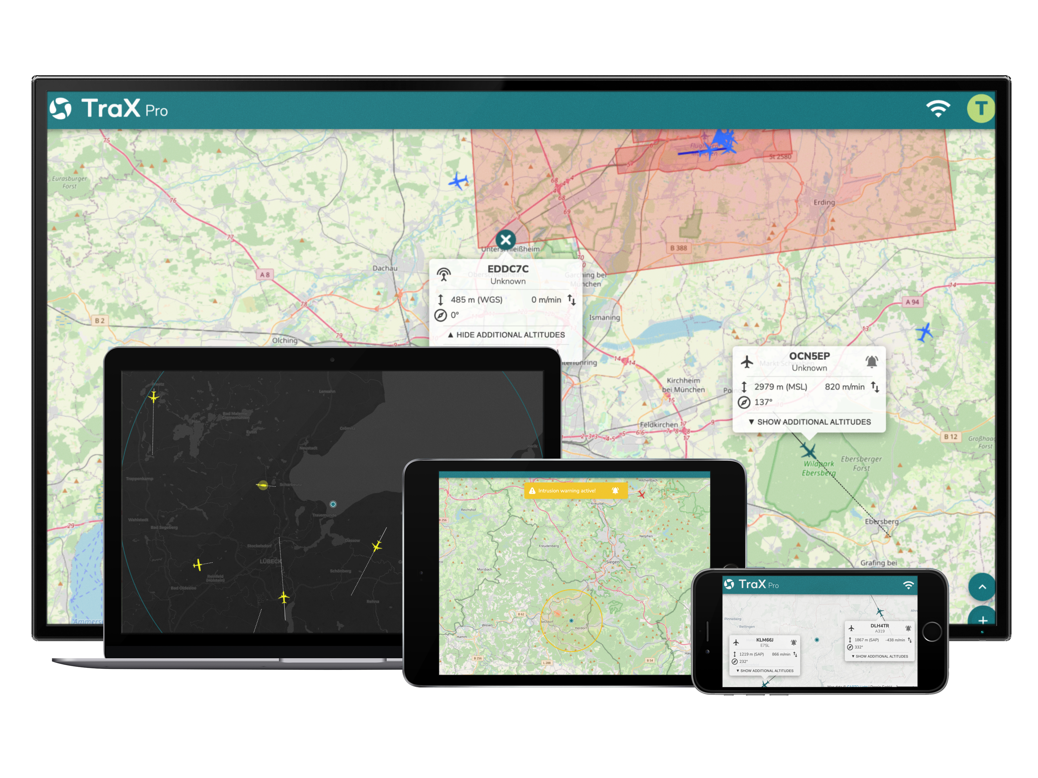
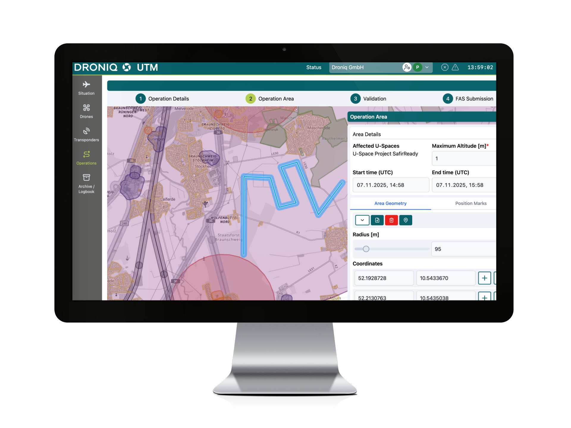
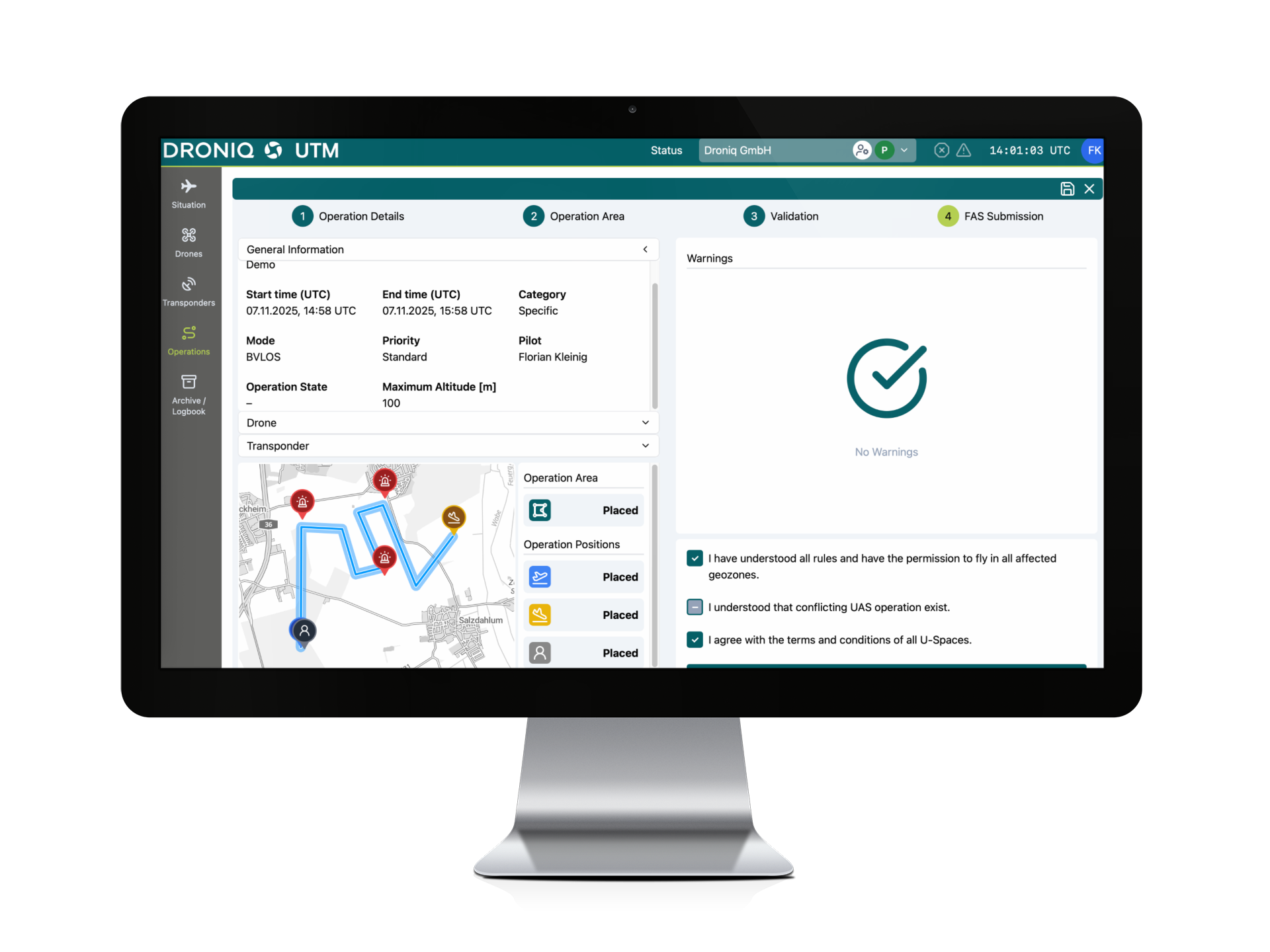
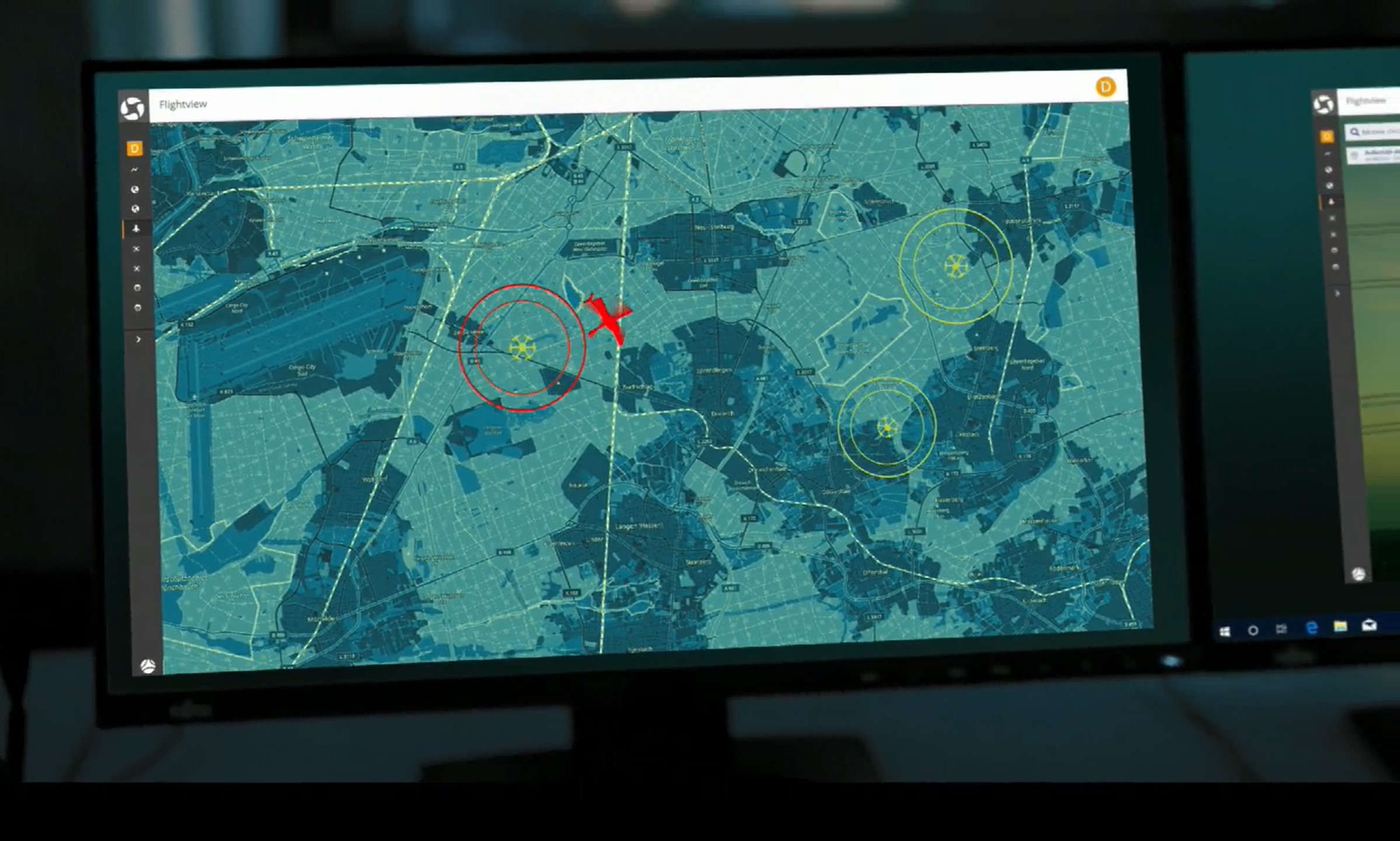
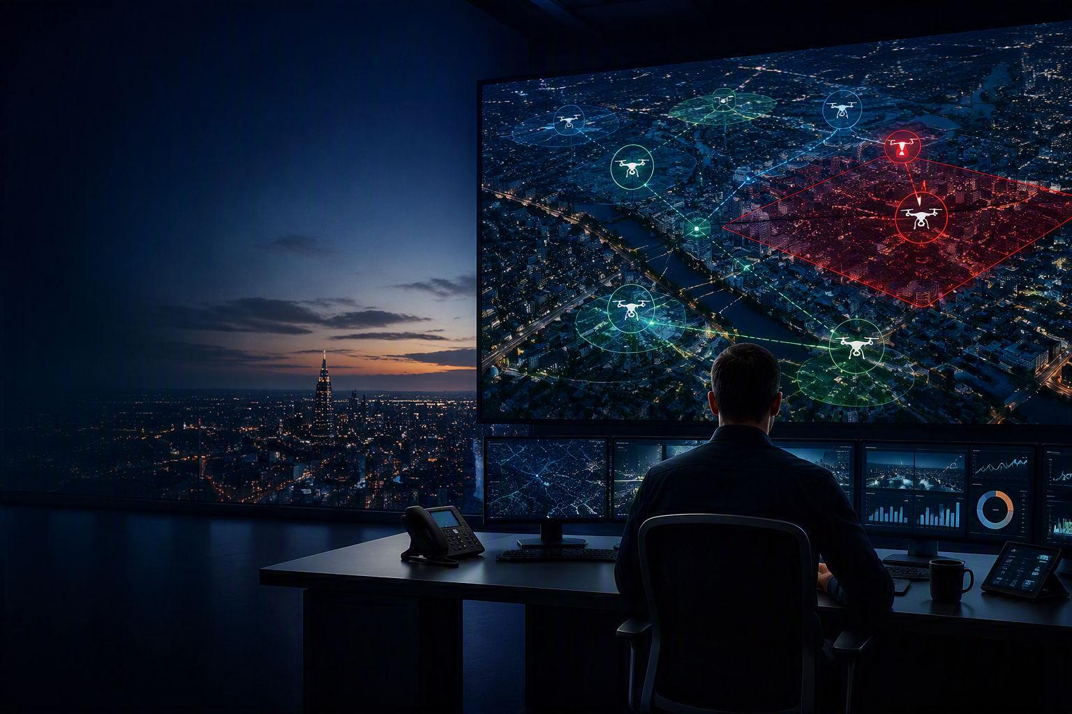
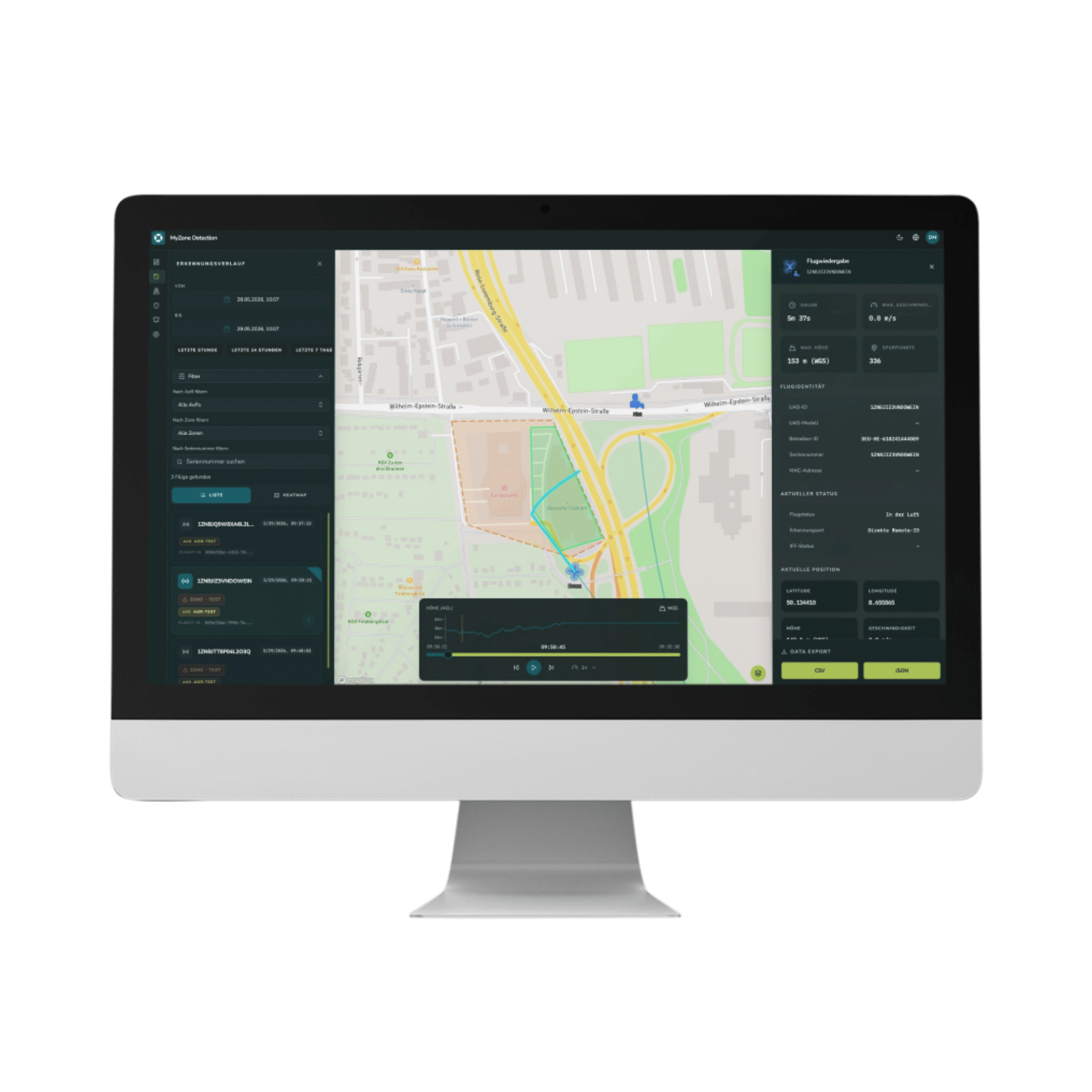
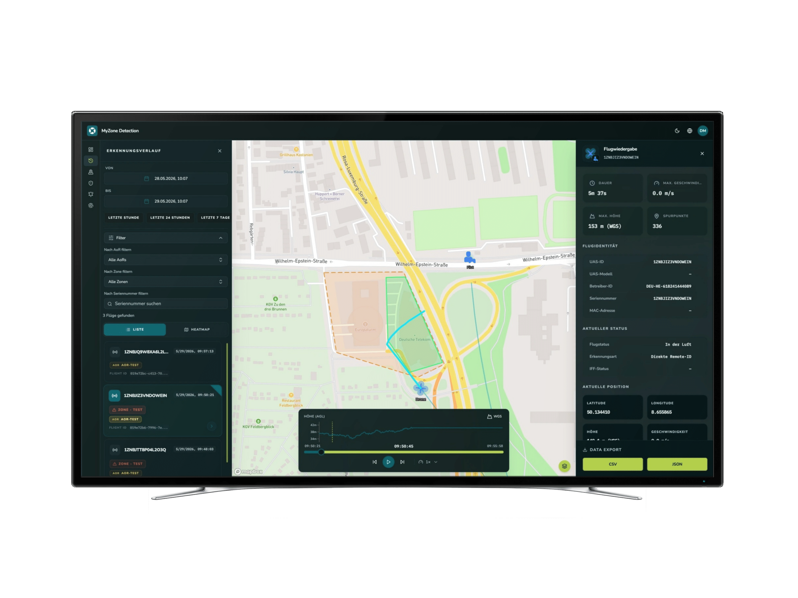
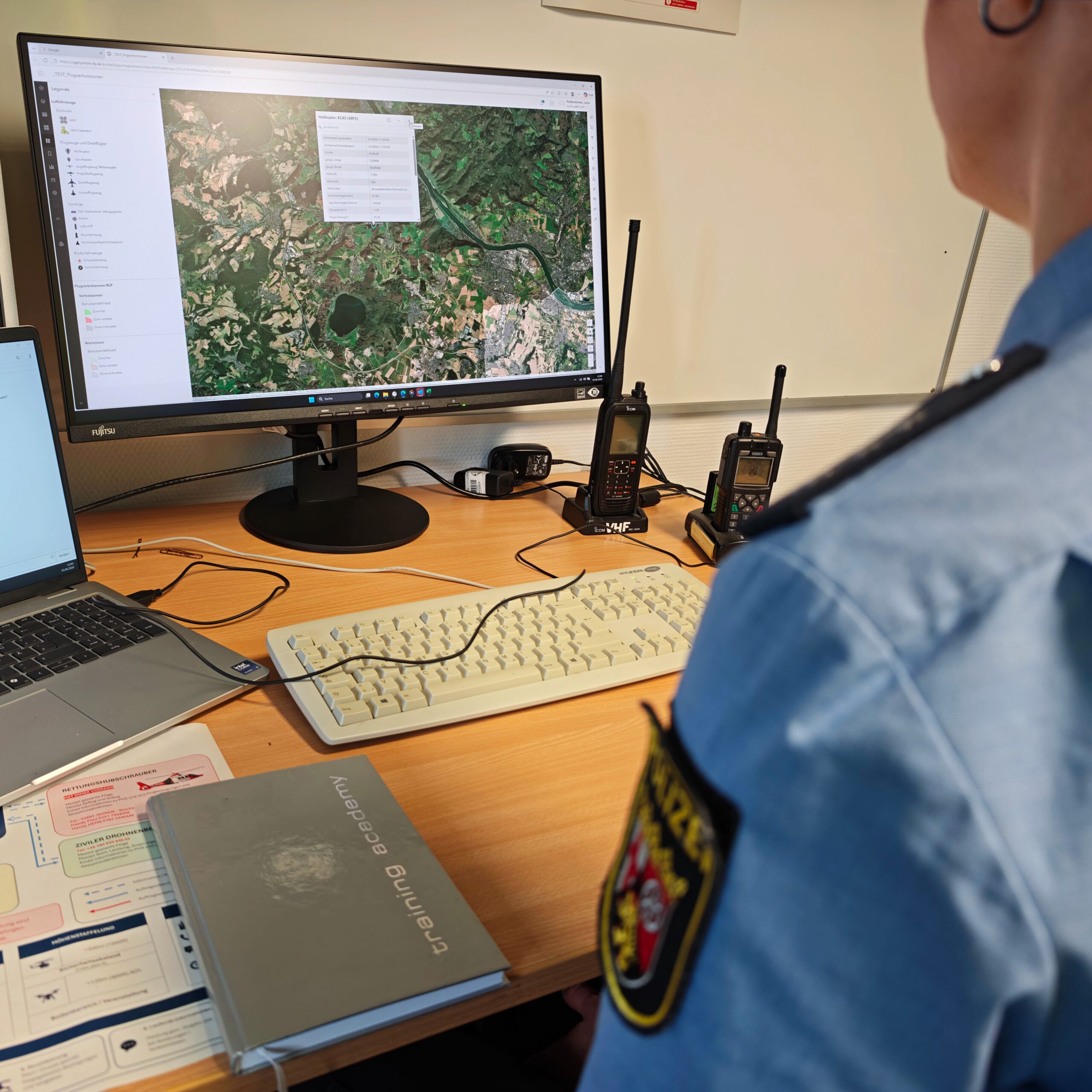
MyZone Detection is the module for drone detection and airspace monitoring within the MyZone Suite. Detected drone activity, flight movements, and security zones are displayed on a central map view, providing a comprehensive overview of the monitored airspace in near real time.
With its analysis, alerting, and replay features, MyZone Detection helps operators of critical infrastructure, industrial companies, airports, and law enforcement agencies monitor, assess, and document relevant events.
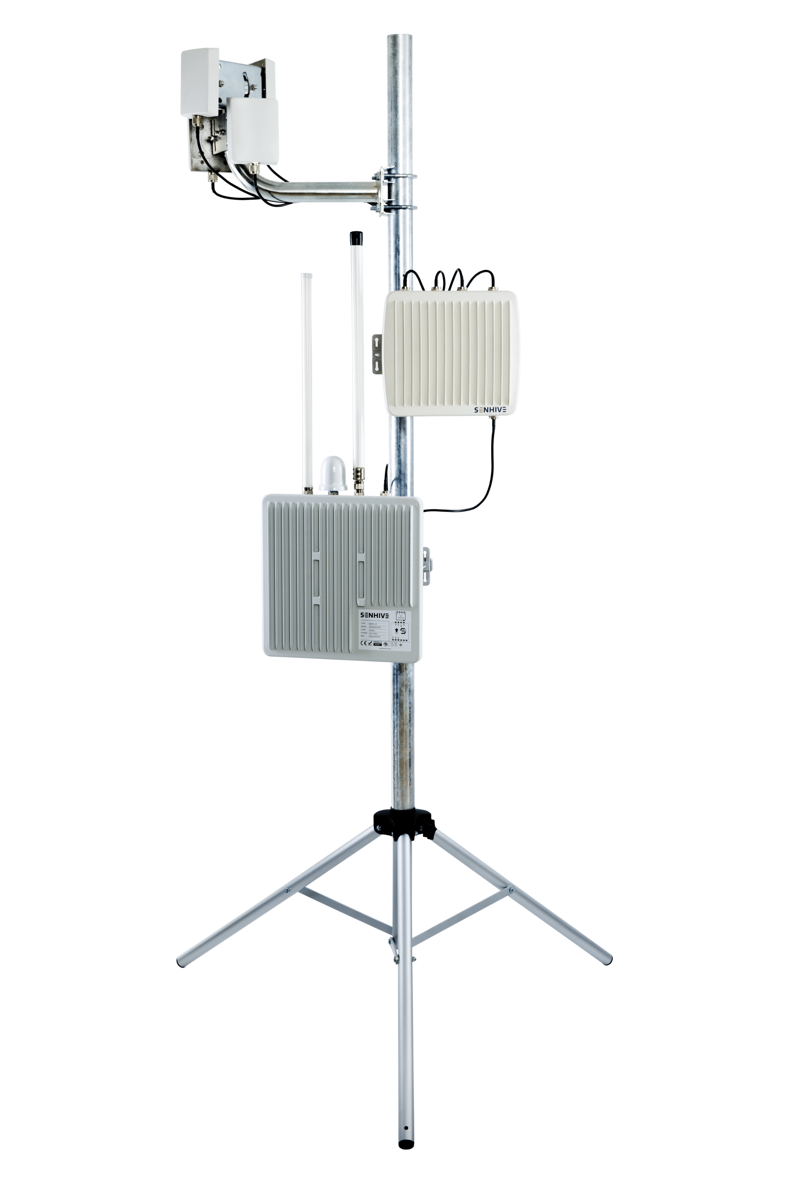
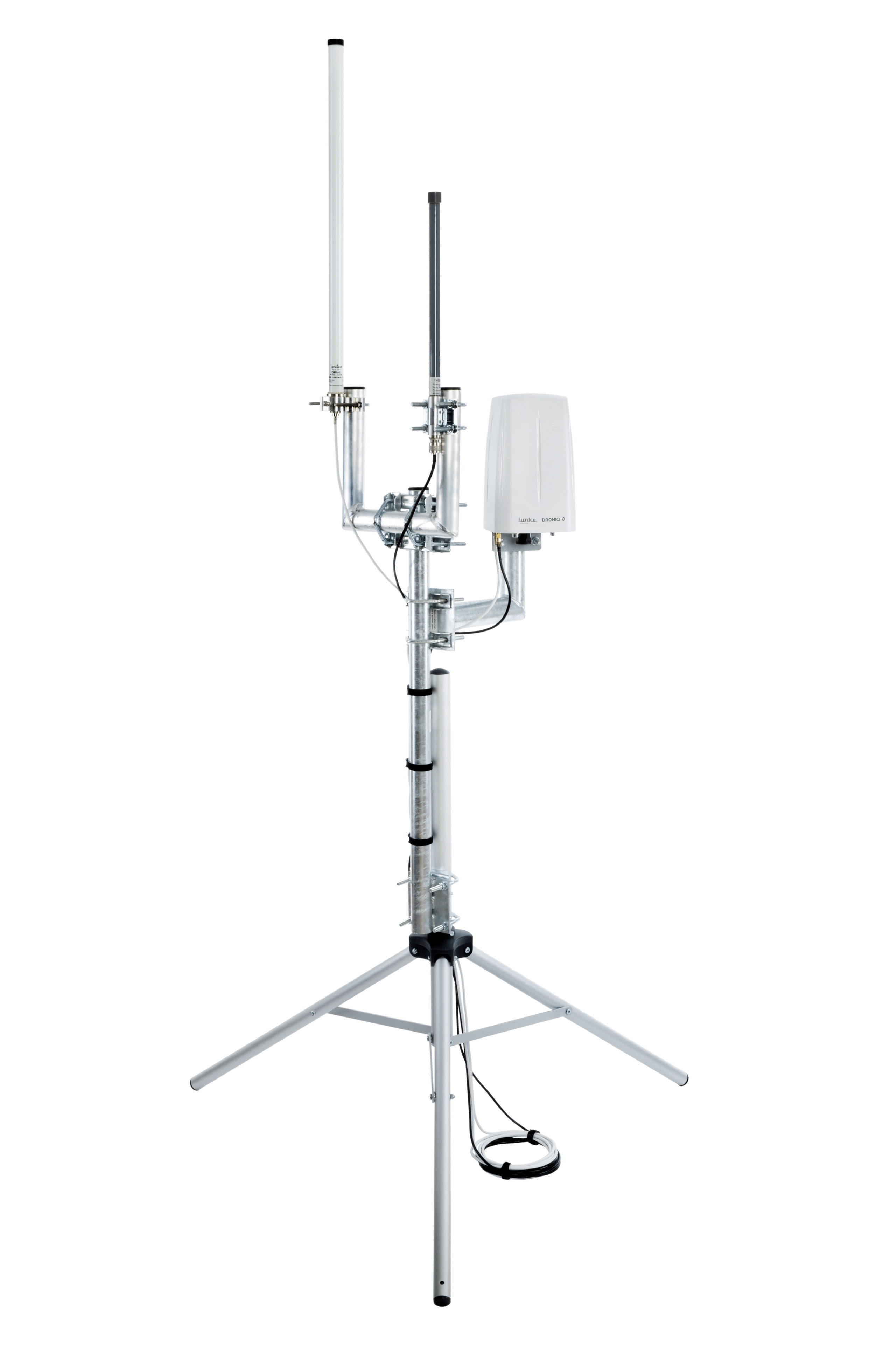
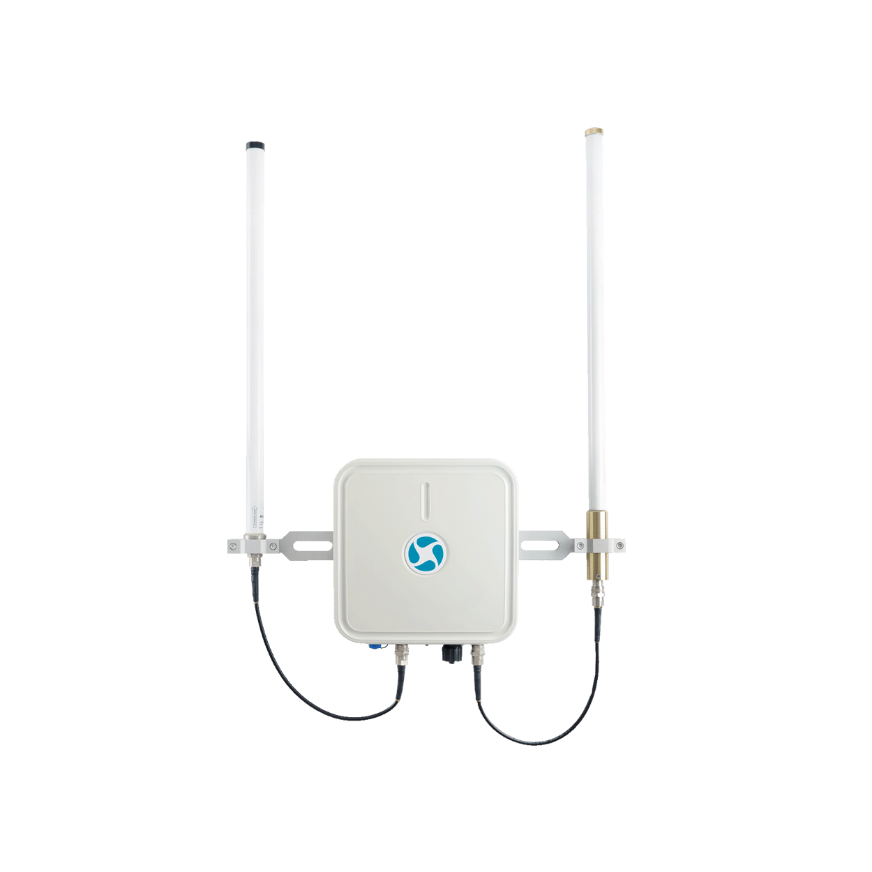
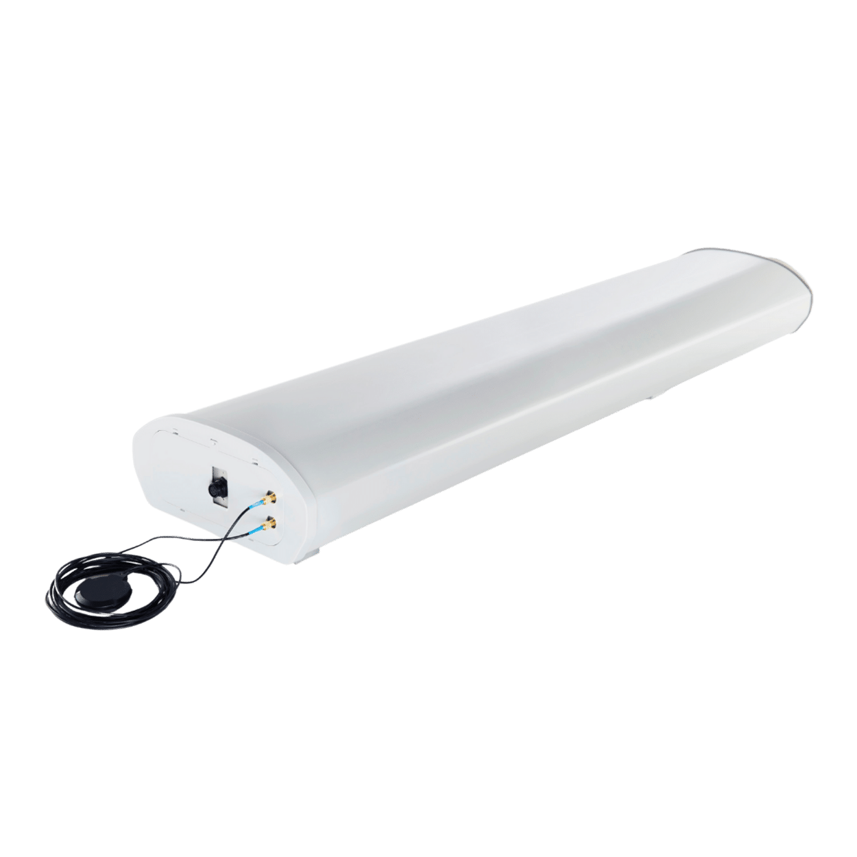
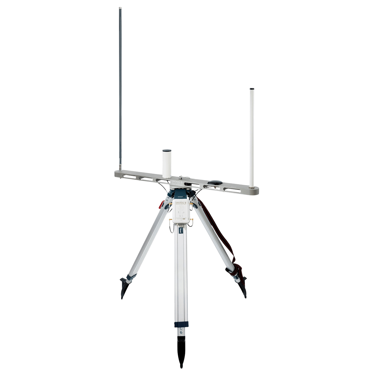
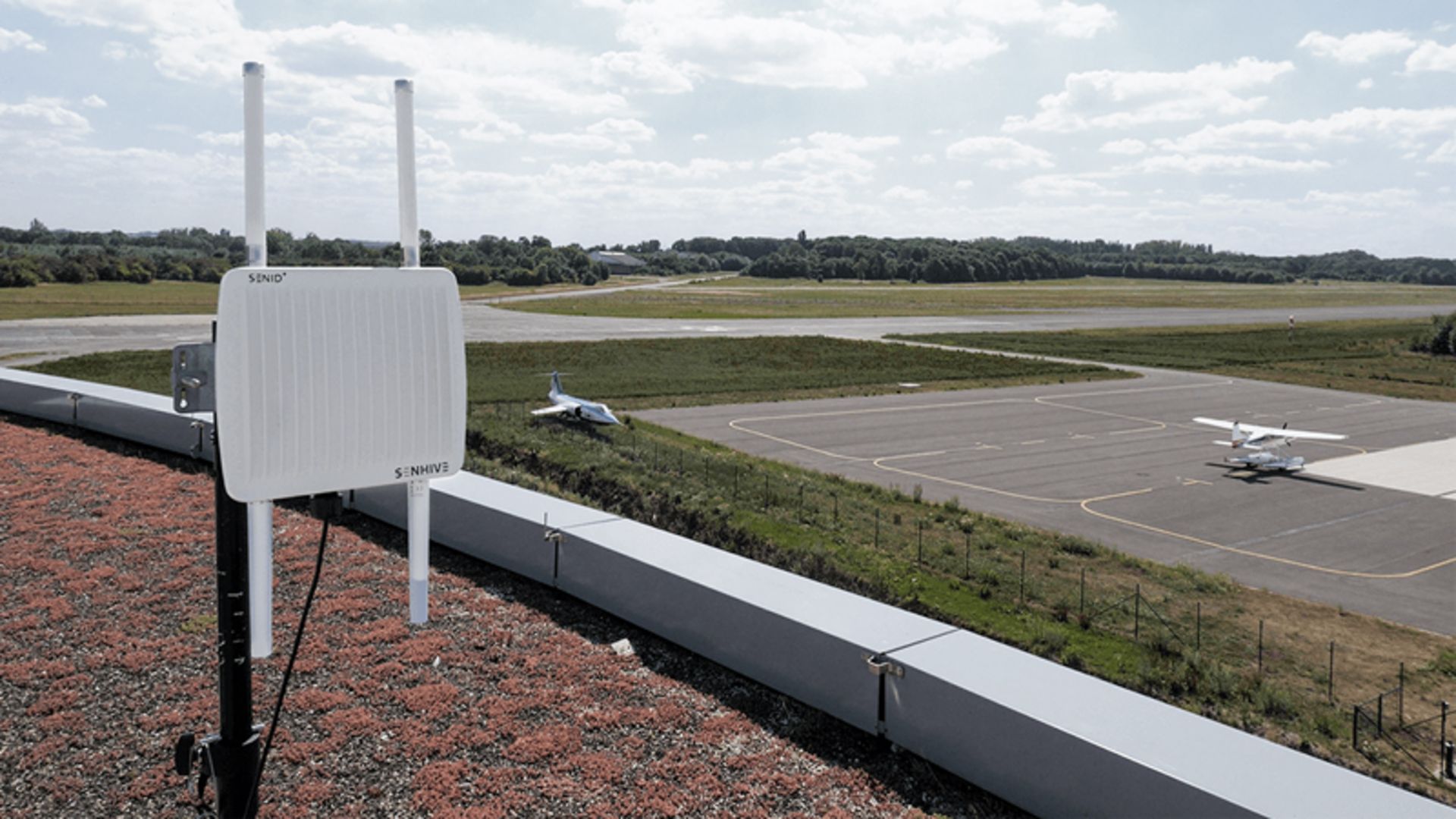
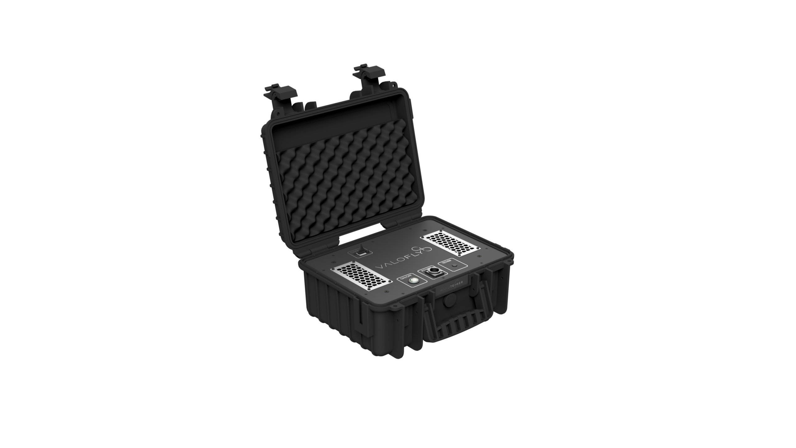
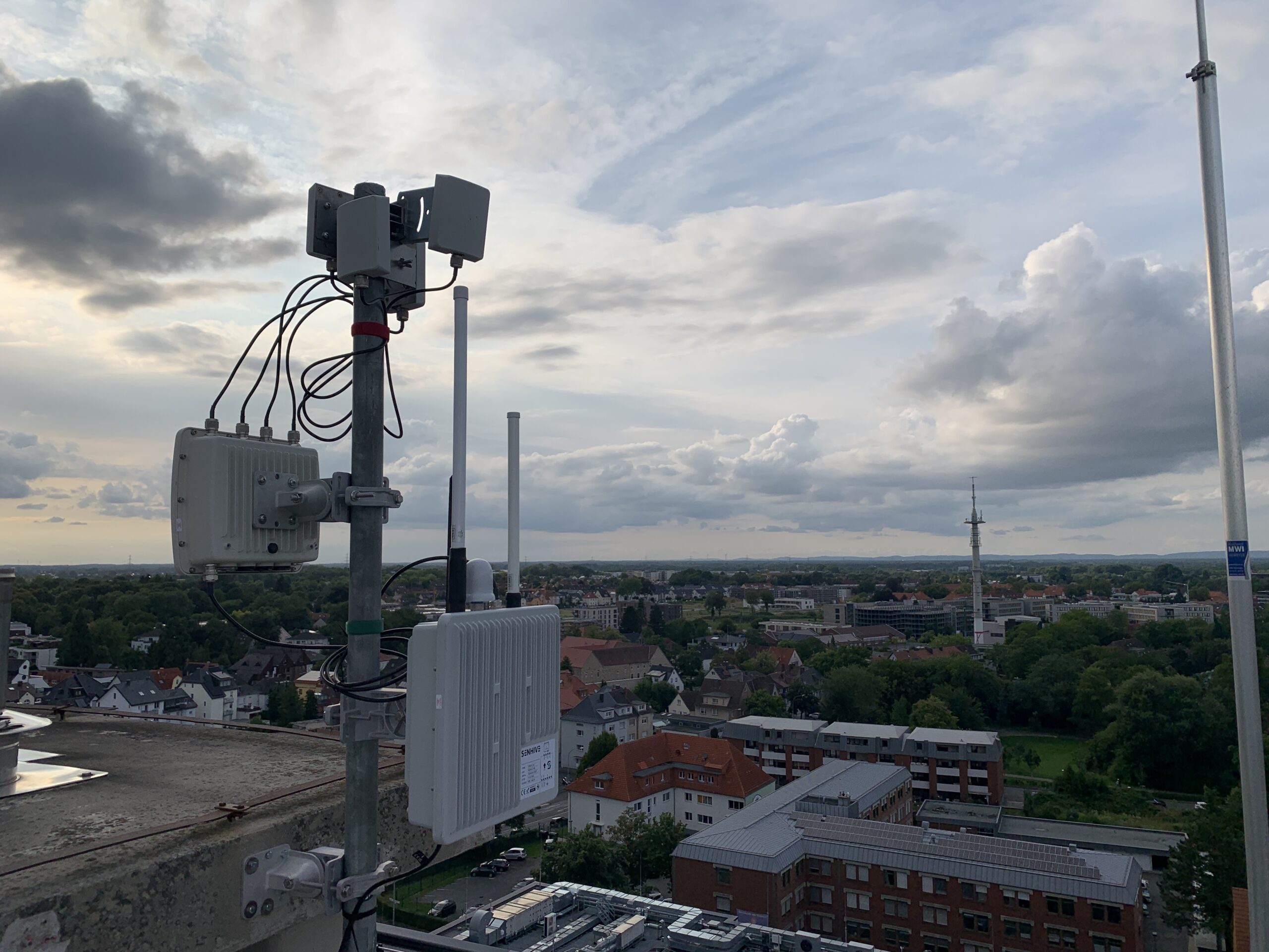
To take full advantage of MyZone Detection, a DDS antenna—such as the Senhive SenID+ —is required to collect and provide detection data. The combination of a DDS antenna and MyZone Detection creates a powerful situational overview for monitoring security-sensitive areas.
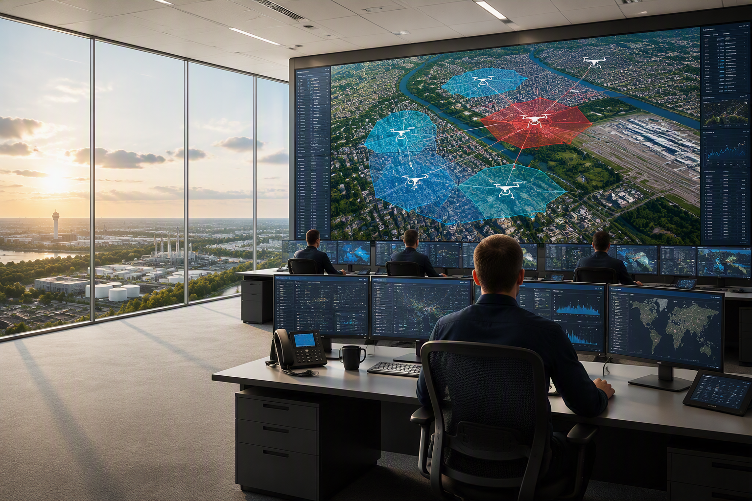
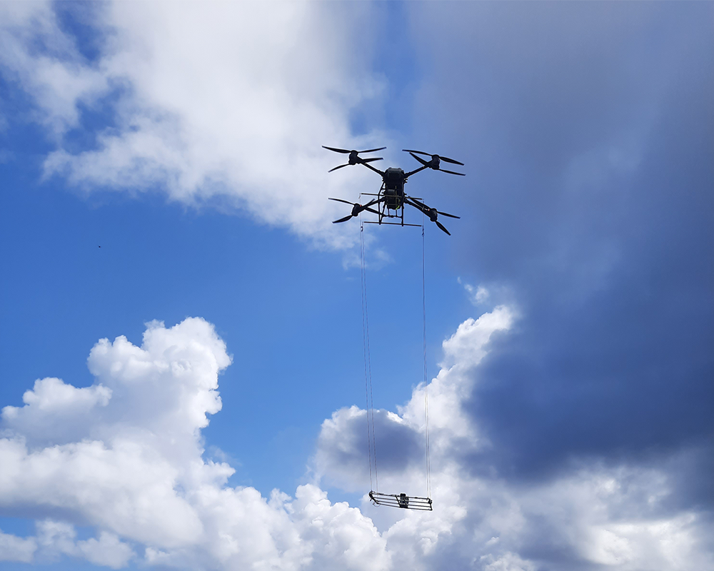
MyZone Detection helps organizations monitor low-altitude airspace and detect drone activity early. As a module of the MyZone Suite, the software displays detected drones, flight paths, and safety zones in a centralized situational overview.
The Senhive SenID+ detection antenna is required for the full functionality of MyZone Detection. While the antenna captures the relevant drone data, MyZone Detection handles visualization, analysis, and documentation. Together, these two components form a powerful solution for professional drone detection and airspace monitoring.
Particularly suitable for:
Critical Infrastructure (KRITIS)
Airports and Aviation Hubs
Industrial and chemical companies
Energy providers and grid operators
Police and Security Agencies
Fire Departments and Law Enforcement Agencies
Plant Fire Departments and Security Services
Logistics Centers and Ports
Venues and Major Events
Operators of critical infrastructure
Scope of delivery
The service includes a browser-based user license for MyZone Detection, including access to the web-based platform. This is an annual subscription billed monthly for a specific location. The one-time setup fee is 200 EUR net. The monthly license fee is 400 EUR net. The notice period is 30 days prior to the end of the term. Access to MyZone Detection is provided to the user digitally.
Included in the scope of services:
Access to the MyZone Detection Platform
Interactive Map View
Drone and Airspace Situation Picture
Management of Individual Surveillance Zones
Replay Function for Event Analysis
Email Notifications
Reporting and Export Functions
User and Permissions Management
Standard Support
Note: To use MyZone Detection, you'll need compatible sensors, Remote ID receivers, or connected detection systems such as Senhive SenID +.
System requirements
For using MyZone Detection, we recommend:
A modern desktop PC or laptop
Windows 10 or later, macOS 11 or later, or a recent Linux distribution
A modern browser (Google Chrome, Microsoft Edge, Mozilla Firefox, or Safari)
At least 8 GB of RAM
Stable Internet connection
Access to connected sensors or detection systems
Since MyZone Detection is entirely browser-based, no local software installation is required.
Features of MyZone Detection
Real-Time Air Situation at a Glance
Track detected drone activity, security zones, and relevant airspace areas in a centralized live view. All information is clearly displayed on an interactive map.
Monitor Safety Zones Individually
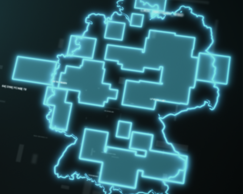
Define and manage your own monitoring and responsibility areas. You’ll always have a clear overview of activities within these areas.
Analyzing Drone Incidents in Detail
Access available information about the drone, its flight path, and the pilot's location. This will allow you to assess incidents more quickly and better evaluate the situation.
Get automatic notifications about detections
Receive email notifications when drones are detected and other relevant events occur, so your security personnel can respond quickly.
Track Flight Paths with Replay
Analyze past events after the fact. The replay function allows you to review flight movements and detections to investigate security incidents.
Export and Document Data
Export event data for reports, security documentation, audits, or internal incident follow-up.
Collect Remote ID data with SENHive SenID+
When used in conjunction with the Senhive SenID+, Remote ID signals and drone data are captured and visualized in MyZone Detection. This creates a centralized situational overview for professional airspace surveillance.
Our competences
Awarded several times
Multiple awards in the areas of safety, traffic and innovation.
Practice tested
Flown more than 12,000 km of route beyond visual line of sight (BVLOS).
Full Service Solutions
Droniq enables efficient and safe drone operations for BOS & industry.
Real Experts
More than 100 years of know-how in aviation & telecommunications.
A Senhive SenID+ is required to use MyZone Detection.
From the " " signal to the situation assessment
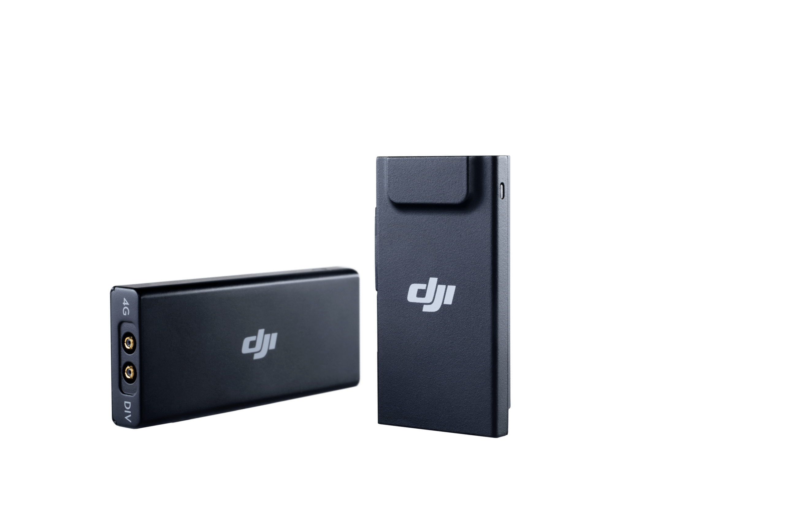
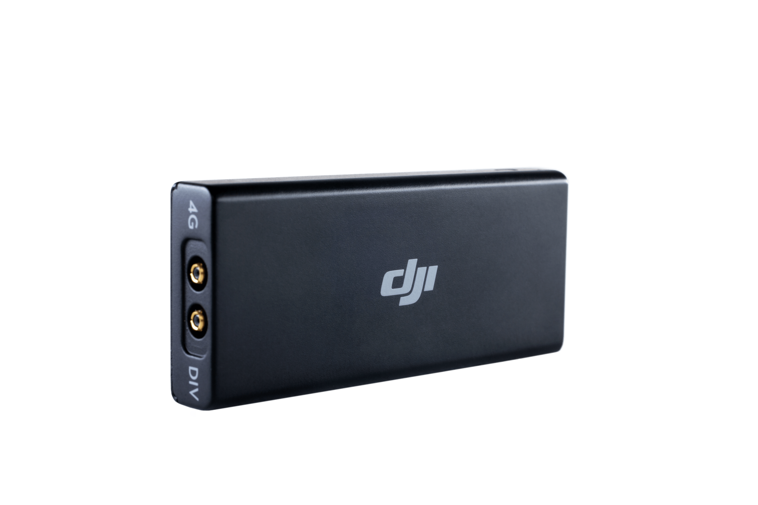
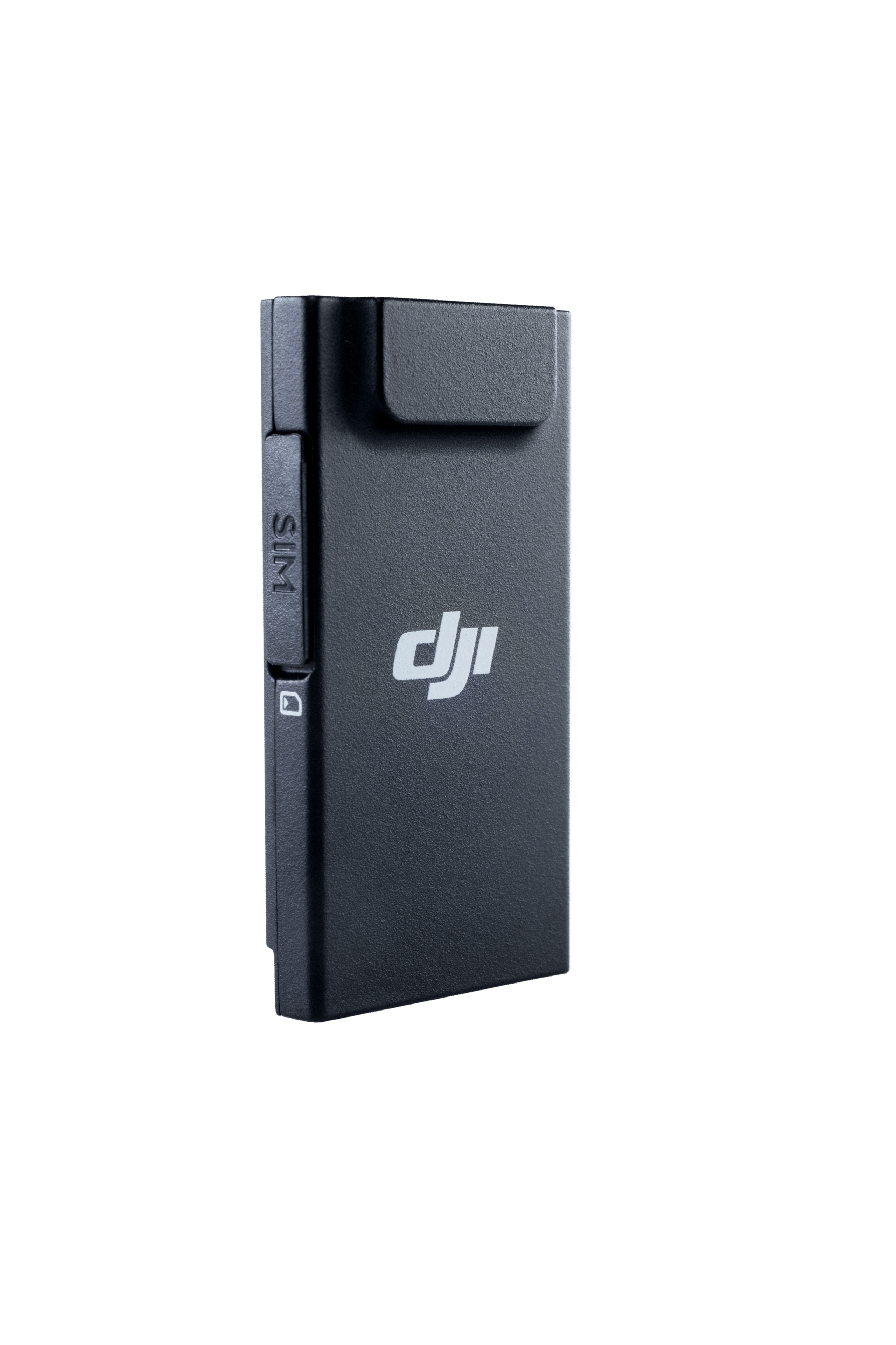
The Senhive SenID+ captures Remote ID signals from compatible drones and provides the detection data required for MyZone Detection. It is only through the combination of the antenna and software that a centralized situational overview is created, including flight paths, safety zones, and event details for professional airspace monitoring—provided that no sensor network is already in place on site.
Senhive SenID+
High-performance Remote ID antenna for detecting drone signals and providing detection data for professional airspace surveillance.
Frequently Asked Questions About MyZone Detection:
MyZone Detection is the module in the MyZone Suite designed for drone detection and airspace monitoring. The software visualizes drone activity, flight paths, and safety zones in a centralized situational overview and assists with the analysis and documentation of incidents.
MyZone Detection processes data from connected detection systems. When used in combination with the Senhive SenID+, it can, among other things, analyze and visualize Remote ID signals from compatible drones.
When drone activity is detected or specific events occur, automatic email notifications can be sent. This ensures that security personnel remain informed at all times.
MyZone Detection is suitable for critical infrastructure, industrial companies, airports, energy utilities, security services, and government agencies and organizations with security responsibilities (BOS).