- Academy
- Drone license A2 + STS
- Show all
-
 Drones 1x1:
Online training course - Remote pilot certificate A2 / drone license:
training &
exam - New Drone driving license A2:
Online exam
incl. e-learning - New Remote pilot certificate STS:
Online exam
incl. e-learning - New UAS operation in the special category: Online training (EASA mandatory training)
- Remote pilot certificate A2 / drone license: Business package
- BOS knowledge for remote pilots
- Drone license A2 + STS
- Drones
- Drones
- Show all
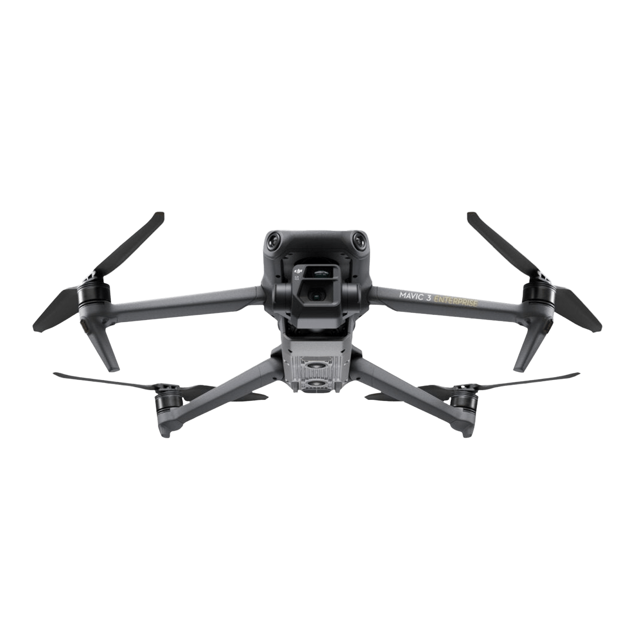
- New DJI Mavic 3 Enterprise (C1 version)
- DJI Mavic 3 Enterprise
- DJI Mavic 3 Thermal
- DJI Mavic 3 Multispectral
- New DJI Matrice 4D Standalone
- New DJI Matrice 4TD Standalone
- New DJI Matrice 4D
- New DJI Matrice 4TD
- DJI Matrice 3D
- DJI Matrice 3TD Thermal
- New DJI Matrice 4E
- New DJI Matrice 4T
- DJI Matrice M30T
- Outlet DJI Matrice M30
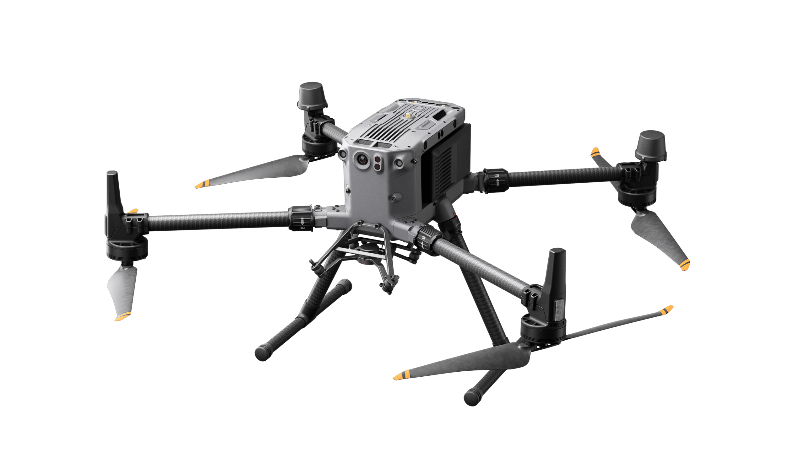
- DJI Matrice M350 RTK
- DJI FlyCart 30 transport drone
- Hanseatic X825Mk.II
- Hanseatic S360Mk.II
- Germandrones Songbird
- Drone accessories
- Show all
- Feelworld 21.5" outdoor monitor set
- Feelworld 21.5" monitor case set
- New DJI mobile radio dongle - incl. connectivity
- New DJI Mobile Dongle 2 - incl. connectivity
- TOMcase transport case for DJI Matrice 3D series
- TB65 Intelligent Flight Battery (battery for DJI Matrice 300+350 Series)
- TB30 Intelligent Flight Battery (battery for DJI Matrice 30 Series)
- WB37 Battery
- Battery set (incl. charging station for DJI Mavic 3 Enterprise series)
- BS65 Battery Station (charging station for DJI Matrice 350 RTK)
- BLUETTI AC60P Powerstation
- BLUETTI AC240P Powerstation
- ValoFly TGS microTether
- Drone-in-a-Box System
- Drones
- Tracking & sensors
- Software
- Services
- About


- Academy
- Drone license A2 + STS
- Show all
- Drones 1x1:
Online training course - Remote pilot certificate A2 / drone license:
training &
exam - New Drone driving license A2:
Online exam
incl. e-learning - New Remote pilot certificate STS:
Online exam
incl. e-learning - New UAS operation in the special category: Online training (EASA mandatory training)
- Remote pilot certificate A2 / drone license: Business package
- BOS knowledge for remote pilots
- Drone license A2 + STS
- Drones
- Drones
- Show all
- New DJI Mavic 3 Enterprise (C1 version)
- DJI Mavic 3 Enterprise
- DJI Mavic 3 Thermal
- DJI Mavic 3 Multispectral
- New DJI Matrice 4D Standalone
- New DJI Matrice 4TD Standalone
- New DJI Matrice 4D
- New DJI Matrice 4TD
- DJI Matrice 3D
- DJI Matrice 3TD Thermal
- New DJI Matrice 4E
- New DJI Matrice 4T
- DJI Matrice M30T
- Outlet DJI Matrice M30
- DJI Matrice M350 RTK
- DJI FlyCart 30 transport drone
- Hanseatic X825Mk.II
- Hanseatic S360Mk.II
- Germandrones Songbird
- Drone accessories
- Show all
- Feelworld 21.5" outdoor monitor set
- Feelworld 21.5" monitor case set
- New DJI mobile radio dongle - incl. connectivity
- New DJI Mobile Dongle 2 - incl. connectivity
- TOMcase transport case for DJI Matrice 3D series
- TB65 Intelligent Flight Battery (battery for DJI Matrice 300+350 Series)
- TB30 Intelligent Flight Battery (battery for DJI Matrice 30 Series)
- WB37 Battery
- Battery set (incl. charging station for DJI Mavic 3 Enterprise series)
- BS65 Battery Station (charging station for DJI Matrice 350 RTK)
- BLUETTI AC60P Powerstation
- BLUETTI AC240P Powerstation
- ValoFly TGS microTether
- Drone-in-a-Box System
- Drones
- Tracking & sensors
- Software
- Services
- About
Language