









































TRAX APP & WEB APP SUBSCRIPTION PLANS
TraX App for safe flights
in Germany
TraX is the new drone app from Droniq—
—available as a mobile app and a web application.
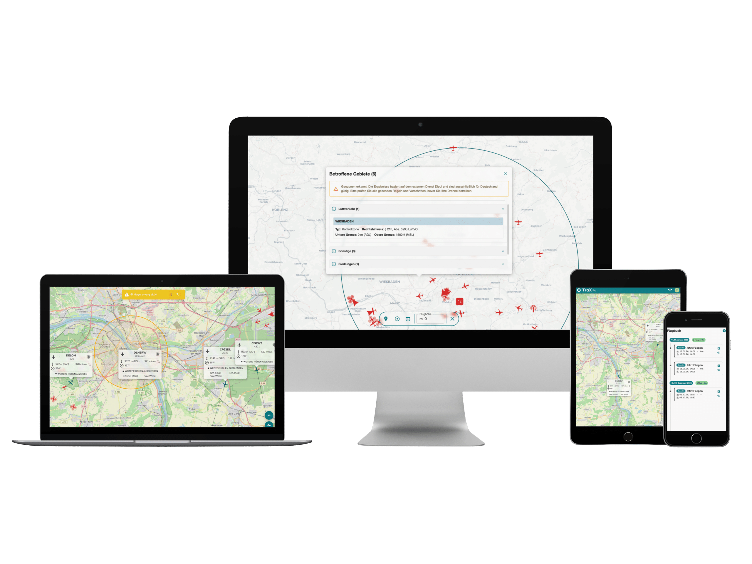
With TraX, you can quickly and reliably check which geozones, flight restrictions, notices, and air traffic information are relevant to your drone flight. Whether for recreational flying, commercial use, or emergency response situations, TraX supports you in planning, validating, visualizing, and safely conducting your drone flights.
The free version of TraX offers key basic features such as location verification, geofence display, "Fly Now," weather information, and a flight log. It is available via the Apple App Store, the Google Play Store or the web application .
For more advanced needs, the paid subscription plans TraX Plus, TraX Pro, and TraX Enterprise are available. These plans expand the range of features to include live air traffic updates, alerts, real-time information, and professional planning and documentation tools. The paid plans can also be used in the web app.
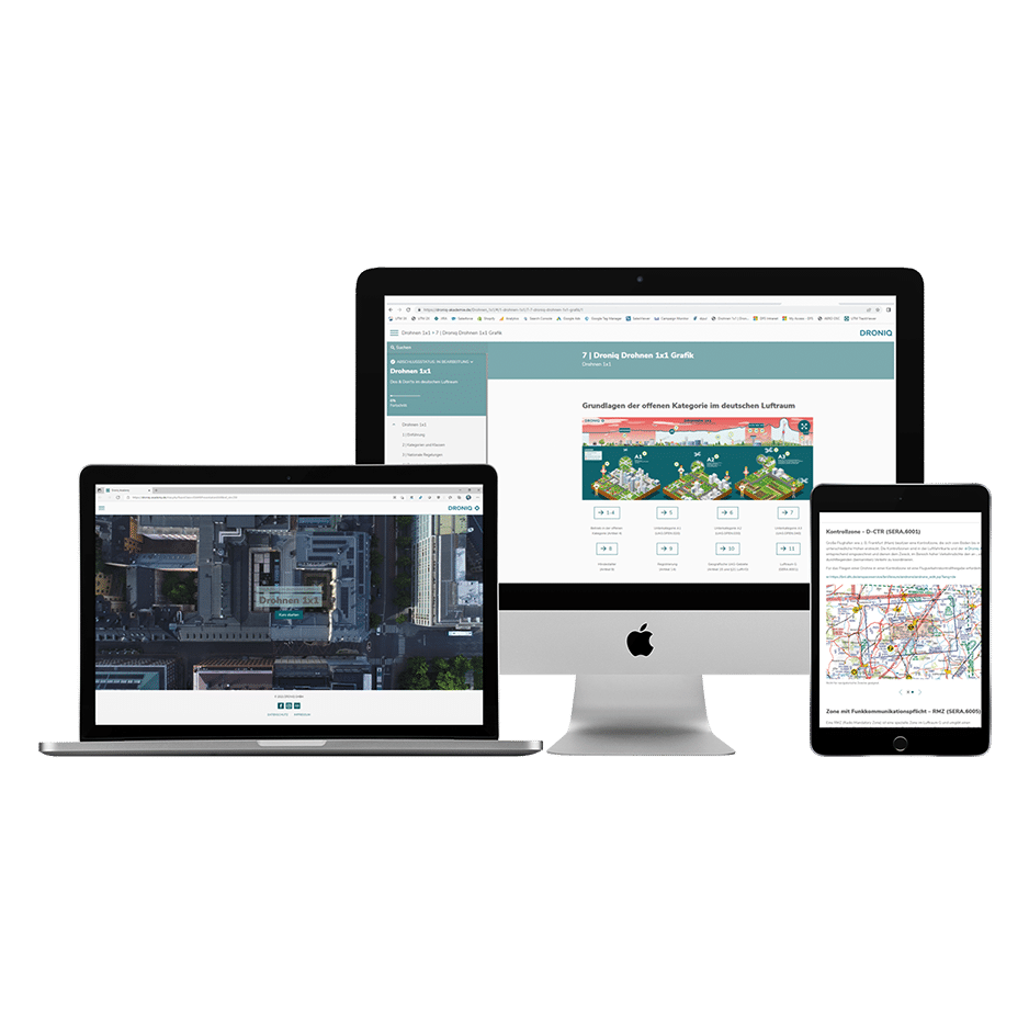
With your TraX account, you can log in to both the mobile app and the web app. This allows you to use TraX flexibly on the go via your smartphone or tablet, and for planning on your desktop browser.
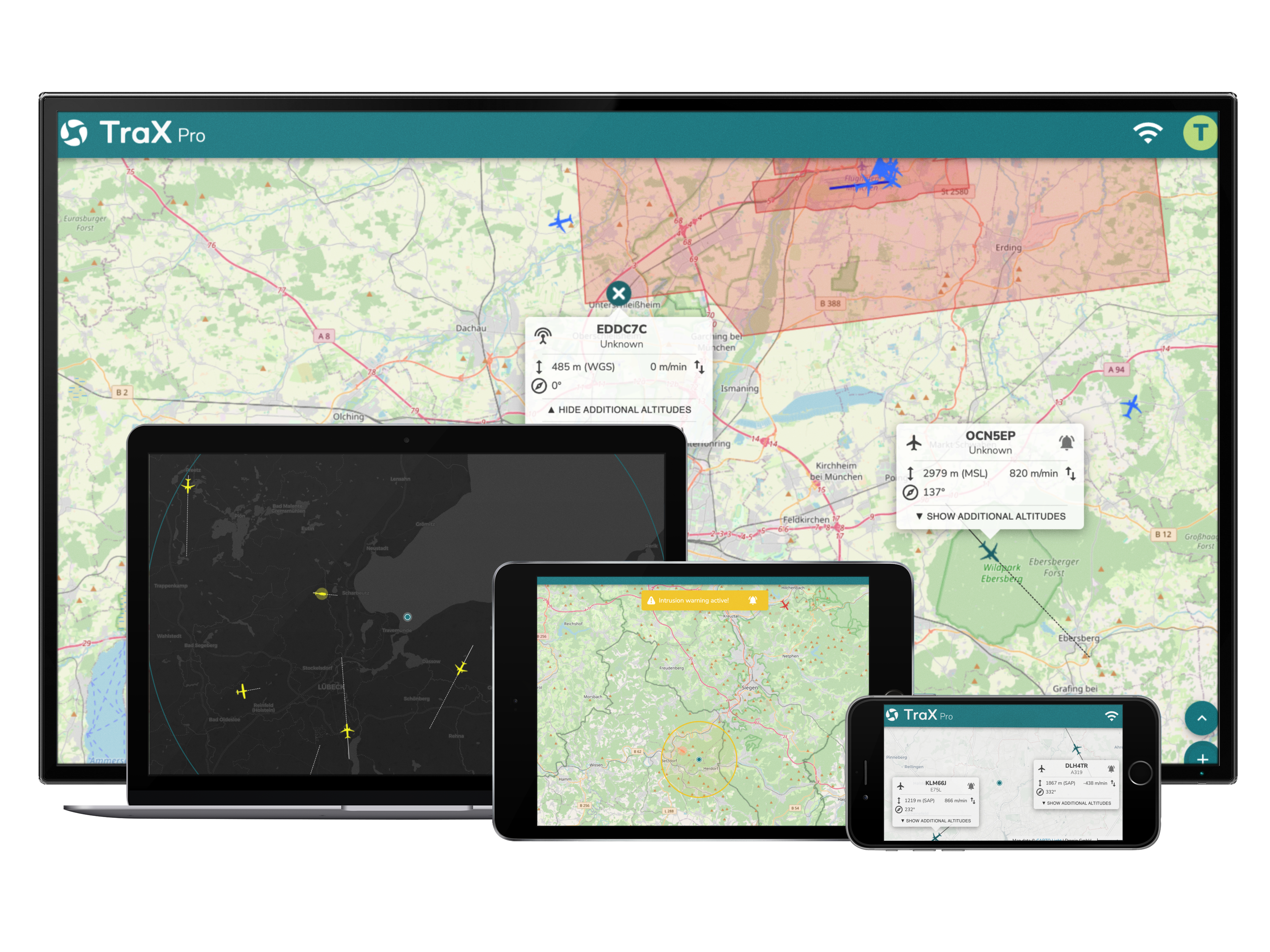
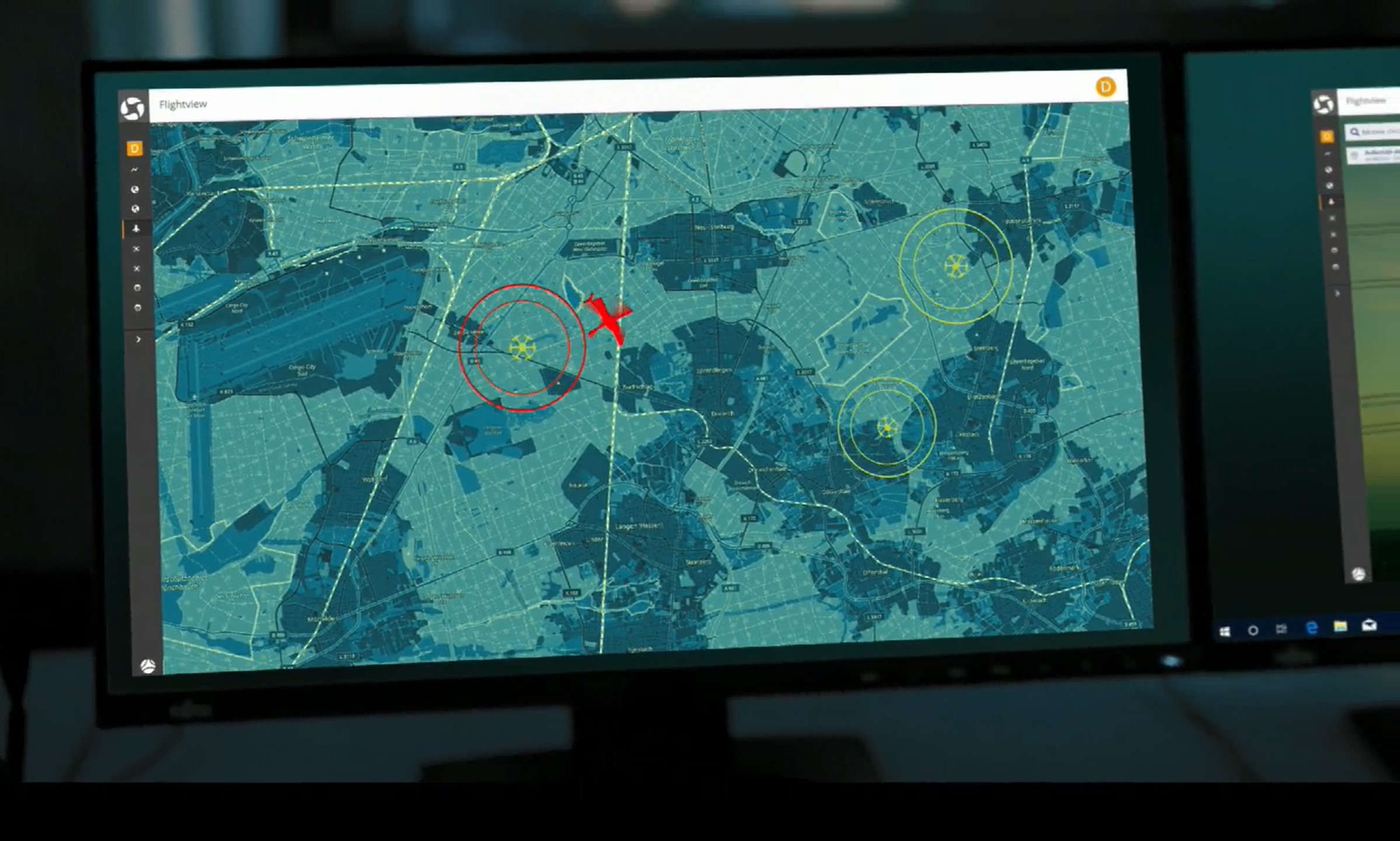
Whether it's a BOS mission, industrial flight, or private drone flight—with TraX, you can keep an eye on the airspace. You can see the air situation and flight validation in real time and now also document your flights in the TraX logbook – all bundled in one tool. In addition, the web app shows manned and unmanned aircraft in real time, provides visual and acoustic warnings of hazards, and ensures maximum safety on every flight.
For recreational pilots and professionals
Thanks to individually configurable entry warnings, object-based logic and integration of modern sensor technologies (RADAR, ADS-B, FLARM, Remote ID), TraX offers maximum overview - directly in the browser, without installation. With TraX, you can keep a reliable eye on the airspace and meet all EASA requirements (TMPR-compliant for risk class ARC-C) - so you can use your drones safely and with approval outside visual line of sight (BVLOS).
Four versions - the right solution for every need
TraX Basic (soon to be Plus) is ideal for ambitious recreational pilots and smaller-scale applications. All core features included. TraX Pro is designed for professional users with heightened security requirements—featuring advanced configuration options. TraX Enterprise is the solution for organizations with multiple users and large-scale or long-term operations. TraX (formerly Trax Free) is the free backup version with limited features for anyone who wants to know which geozones they are flying in. Without an active subscription, you will be downgraded to TraX Free.
Test now for 30 days free of charge
You can try TraX Basic (soon to be TraX Plus) for 30 days with no obligation—and no automatic renewal. All other plans are available on a monthly or annual basis and can be changed at any time.
Find the Right Subscription
Compare the TraX models and find the right set of features for your drone flights—from site surveys to real-time airspace monitoring, alerts, and advanced features for professional operations. TraX is already available as a web app, as well as on the Apple App Store and Google Play Store.
Monthly plan
Annual plan
TraX
TraX Plus
TraX Pro
TraX Enterprise
TraX

Free of charge
Free of charge
Popular
TraX Plus

5.99 € incl. VAT / month
3.49 € incl. VAT / month
TraX Pro

59.99 € incl. VAT / month
39.98 € incl. VAT / month
TraX Enterprise

Upon request
Upon request
NEW starting May 11, 2026
Airspace Check, Weather Info & Flight Log
TraX:
TraX Plus:
TraX Pro:
TraX Enterprise:
Mission Planning & Mission Center
TraX:
TraX Plus:
TraX Pro:
TraX Enterprise:
Real-time air traffic conditions around the airfield
TraX:
TraX Plus:
20 km
TraX Pro:
60 km
TraX Enterprise:
Individual
Collision warnings in the mission area
TraX:
TraX Plus:
TraX Pro:
TraX Enterprise:
Target tracking for greater situational awareness
TraX:
TraX Plus:
TraX Pro:
TraX Enterprise:
Alerts for a selected aircraft
TraX:
TraX Plus:
TraX Pro:
TraX Enterprise:
KML Import for Resource Planning
TraX:
TraX Plus:
TraX Pro:
TraX Enterprise:
Show Airspace Layer
TraX:
TraX Plus:
TraX Pro:
TraX Enterprise:
Advanced Aircraft Display & Filters
TraX:
TraX Plus:
TraX Pro:
TraX Enterprise:
Advanced Settings & Units
TraX:
TraX Plus:
TraX Pro:
TraX Enterprise:
Account & Profile Features
TraX:
TraX Plus:
TraX Pro:
TraX Enterprise:
TraX
TraX Plus
20 km
TraX Pro
60 km
TraX Enterprise
Individual
Monthly plan
Annual plan
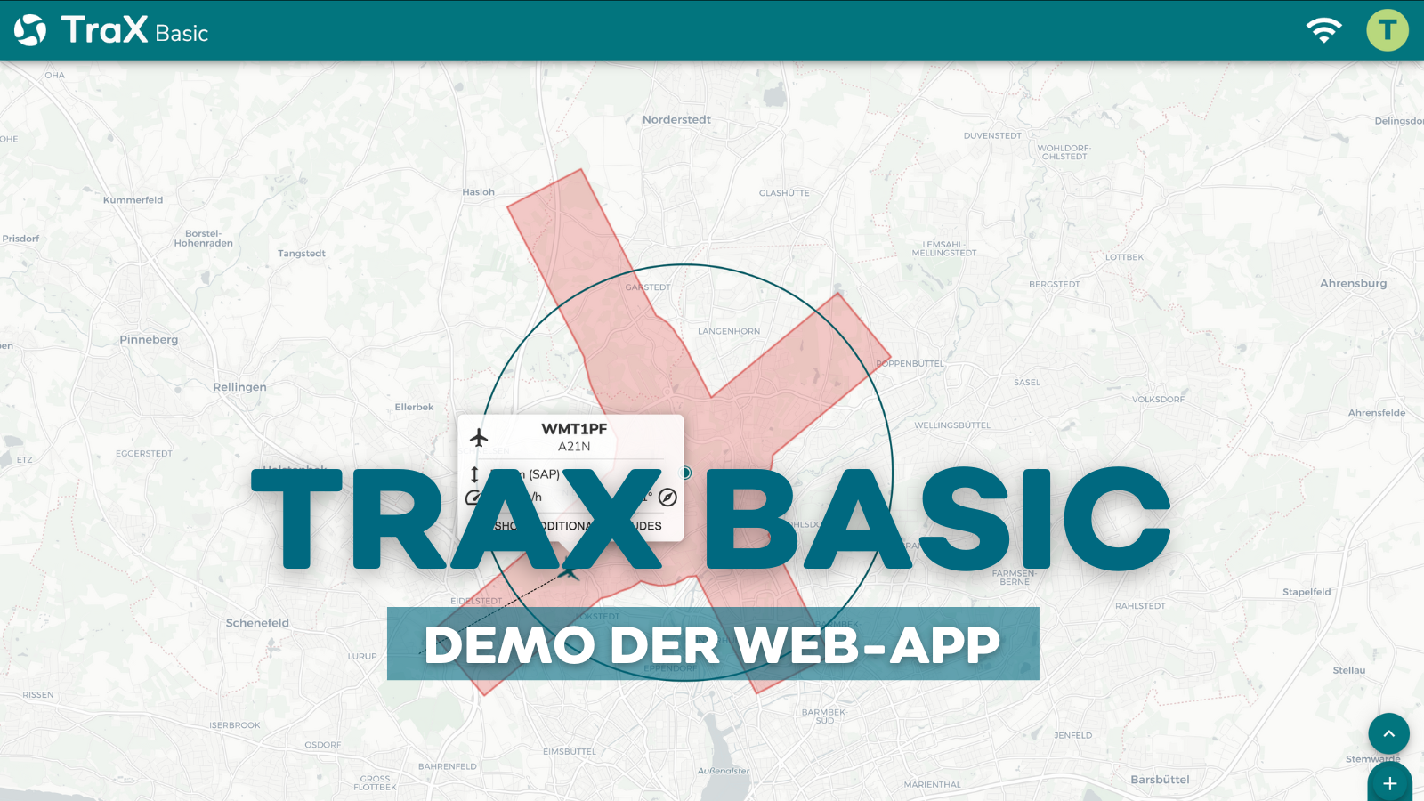
This is how TraX Basic works:
You can find more video tutorials on the product detail pages of the individual subscription models TraX Basic, TraX Pro and TraX Enterprise.
WHICH PLAN IS RIGHT FOR ME?
Transparent and flexible—choose between the free TraX Basic trial month (soon to be Plus), the monthly or annual plans for TraX Basic (Plus) or Pro, or your custom Enterprise solution. The right airspace security solution for every need.
TraX - Free Version
TraX is the free version designed for beginners. It is ideal for anyone who wants to plan drone flights, check geofences, and access basic information about airspace and weather. The free version is available on the Apple App Store and the Google Play Store, or as a web app.
TraX Plus - for greater visibility and real-time situational awareness
TraX Plus is ideal for anyone who wants to monitor drone flights more actively. This version supplements the free basic version with live air traffic overviews, alerts, and real-time information. This allows you to keep an eye on air traffic around your operational area, receive notifications about relevant developments in the airspace, and identify risks earlier.
TraX Plus
Test 30 days free of charge
5.99
0
00
incl. VAT -
Test 1 month free of charge
-
Subscription ends automatically
-
Then downgrade to TraX (Free)
FREE OF CHARGE
TraX Plus
Monthly plan
5
99
incl. VAT, monthly -
Duration: 1 month
-
Billing: monthly
-
Automatic renewal
-
Notice period: 14 days
TraX Plus
Annual plan
3
49
incl. VAT, monthly -
Term: 12 months
-
Billing: monthly
-
Automatic renewal
-
Notice period: 4 weeks to the end of the term
TraX Pro - for professional drone operations
TraX Pro is designed for professional drone operations, organizations, and operators with more demanding requirements for planning, monitoring, and documentation. These features include an extended flight radius, approach warnings for a user-defined aircraft, KML import for custom mission areas, routes, or planning data, as well as additional map and real-time overlays.
TraX Pro
Monthly plan
59
99
incl. VAT, monthly -
Duration: 1 month
-
Billing: monthly
-
Automatic renewal
-
Notice period: 14 days
TraX Pro
Annual plan
39
98
incl. VAT, monthly -
Term: 12 months
-
Billing: monthly
-
Automatic renewal
-
Notice period: 4 weeks to the end of the term
TraX Enterprise
For government agencies, local authorities, infrastructure operators, police departments, and operators of complex drone fleets. TraX Enterprise is designed for large-scale, long-term, or organizationally complex operations and can be customized to fit existing processes and systems.
TraX Enterprise
Annual plan
on
on request
individual
-
Term: 12 months
-
Billing: monthly
-
Automatic renewal
-
Notice period: 4 weeks to the end of the term
Frequently Asked Questions About the TraX App and Web App
General questions
What is TraX?
TraX is Droniq’s new drone app for Germany. It assists with flight planning, location verification, displaying relevant geofences, air traffic information, and visualizing active flight zones. TraX is available as a mobile app and—depending on the model—also as a web app.
Can I test TraX free of charge?
Yes. The free version of TraX is available exclusively through the Apple App Store and the Google Play Store. It offers key basic features such as location verification, geofence display, “Fly Now,” weather information, and a flight log. Advanced features are available through the paid subscription plans TraX Plus, TraX Pro, and TraX Enterprise.
Can I use my TraX account in the app and the web app?
Yes. With your TraX account, you can log in to both the mobile app and the web app. This allows you to use TraX flexibly on the go via your smartphone or tablet, and for planning on your desktop browser.
What will happen to Droniq Maps?
Droniq Maps is getting an upgrade and will be replaced by TraX in mid-May 2026. The update is typically available through the Apple App Store or Google Play Store. Existing data from Droniq Maps will not be transferred; a new registration is required for TraX.
How do TraX Plus, Pro, and Enterprise differ from the free version?
The free version of TraX offers essential core features for planning and conducting drone flights, including location verification, geofence display, "Fly Now," weather information, and a flight log.
- TraX Plus expands the free version to include live air traffic updates, alerts, and real-time information about the mission area.
- TraX Pro is designed for professional drone operations with advanced requirements for planning, monitoring, and documentation, such as an expanded flight radius, approach warnings, KML import, and additional map and real-time overlays.
- TraX Enterprise is designed for organizations, businesses, government agencies, and first responders who wish to use TraX with multiple users, specific requirements, or advanced workflows.
Who is TraX suitable for?
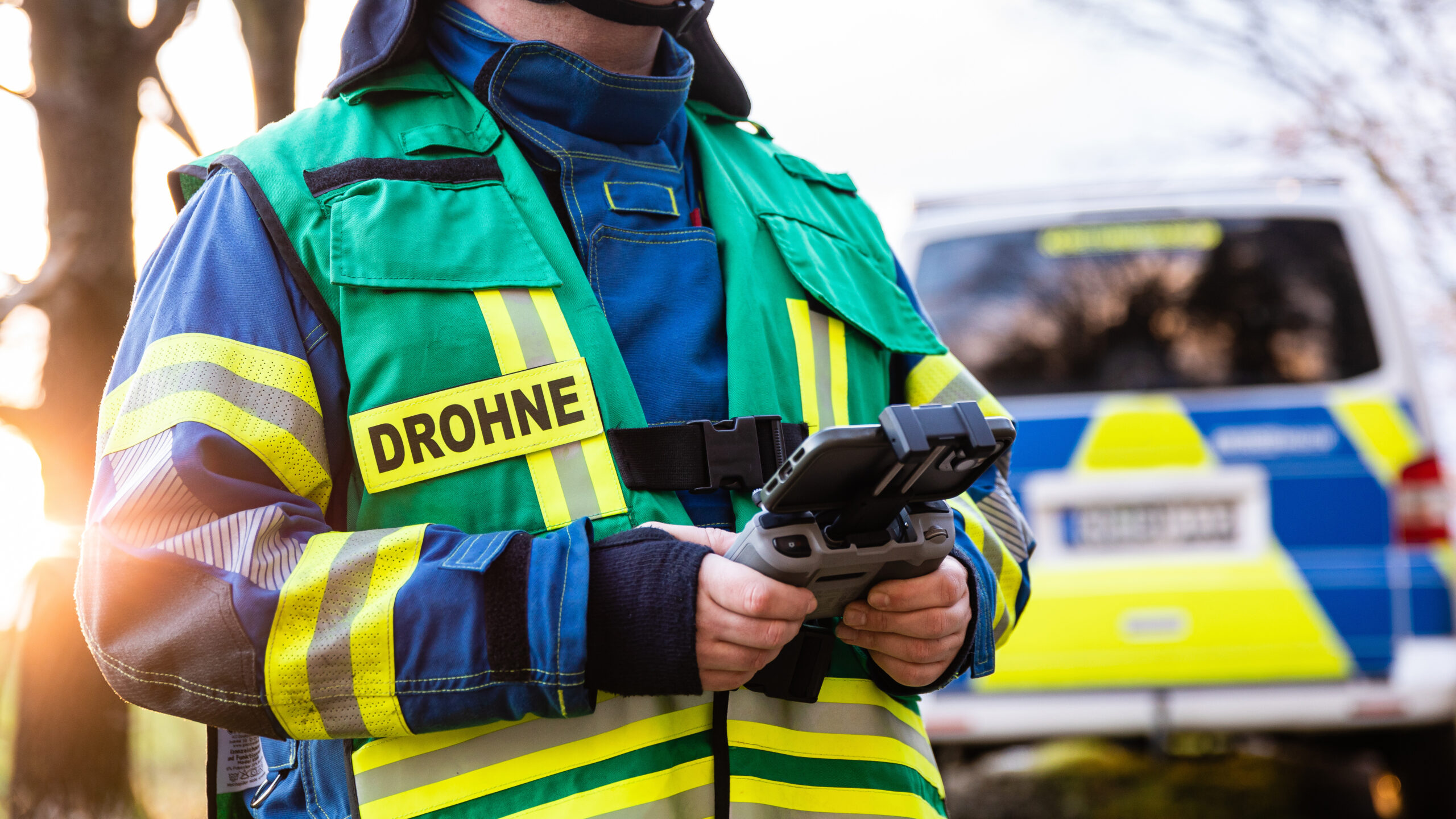
TraX is aimed at emergency services (e.g. BOS), companies and authorities - but also at ambitious recreational pilots who want to fly safely in complex airspaces.
Which versions of TraX are available?
Four versions are available:
- TraX Free - as a backup for users without an active subscription
- TraX Basic - for getting started
- TraX Pro - for professional applications
- TraX Enterprise - for organizations with extended requirements
What does TraX (Free) offer me?
The free version of TraX provides you with the most important basic features for planning and conducting drone flights. These include location checks, the display of relevant geofences and flight restrictions, "Fly Now," weather information, and the flight log. A login is required for some features.
How can I book after the trial period?
During the trial month, you will receive e-mails from us with the option of taking out a monthly or annual subscription.
How does the booking work?
TraX is available as a monthly or annual subscription. You can upgrade your model at any time - flexibly and in line with your usage profile.
Can TraX also be used on the move?
Yes. As a fully browser-based web app, TraX works on all common devices—from desktops to smartphones. TraX will soon be available as an app on the Apple App Store and Google Play Store (formerly Droniq Maps).
How can I use TraX as a bookmark on the home screen of smartphones & tablets?
To be able to use the web app on the home screen, you must open the web app in the browser of the smartphone or tablet. Please note that this only works under the following conditions:
- Android, Firefox, Chrome, Edge, Opera and Samsung Internet browsers all support the installation of PWAs*.
- Under iOS 16.3 and earlier, PWAs* can only be installed with Safari.
- On iOS 16.4 and later, PWAs* can be installed via the Share menu in Safari, Chrome, Edge, Firefox and Orion.
On Apple devices, click on the share icon at the bottom of the bar, then scroll down and select "Go to home screen" and you will have the web app as an app on your mobile device.
Access via Android is via the "three-dot menu". Depending on the browser, the web app can be added to the home screen as a web app via the "Add to home screen" or "Install" action.
* A PWA (Progressive Web Application) is a web application with features of a native mobile app.
How does TraX differ from Flightradar?
The TraX web app was developed specifically for drone pilots and is based on the ARC-C standard—the benchmark for reliable situational awareness in drone operations.
Feature
Can I use TraX to check where I’m allowed to fly my drone?
Yes. TraX displays relevant geofences, flight restrictions, and notices to help you better assess whether drone flight is permitted at your location.
What does “Fly Now” mean?
With "Fly Now," you make your active flight area visible to other airspace users. This increases transparency in the airspace and promotes safe drone flights.
Technology, use & target groups
What are the system requirements for TraX?
TraX runs directly in your browser—no installation is required. It supports the latest versions of Chrome, Firefox, Edge, and Safari. A stable internet connection is required. TraX is also available in the Apple App Store and Google Play Store.
What data sources does TraX use to display airspace?
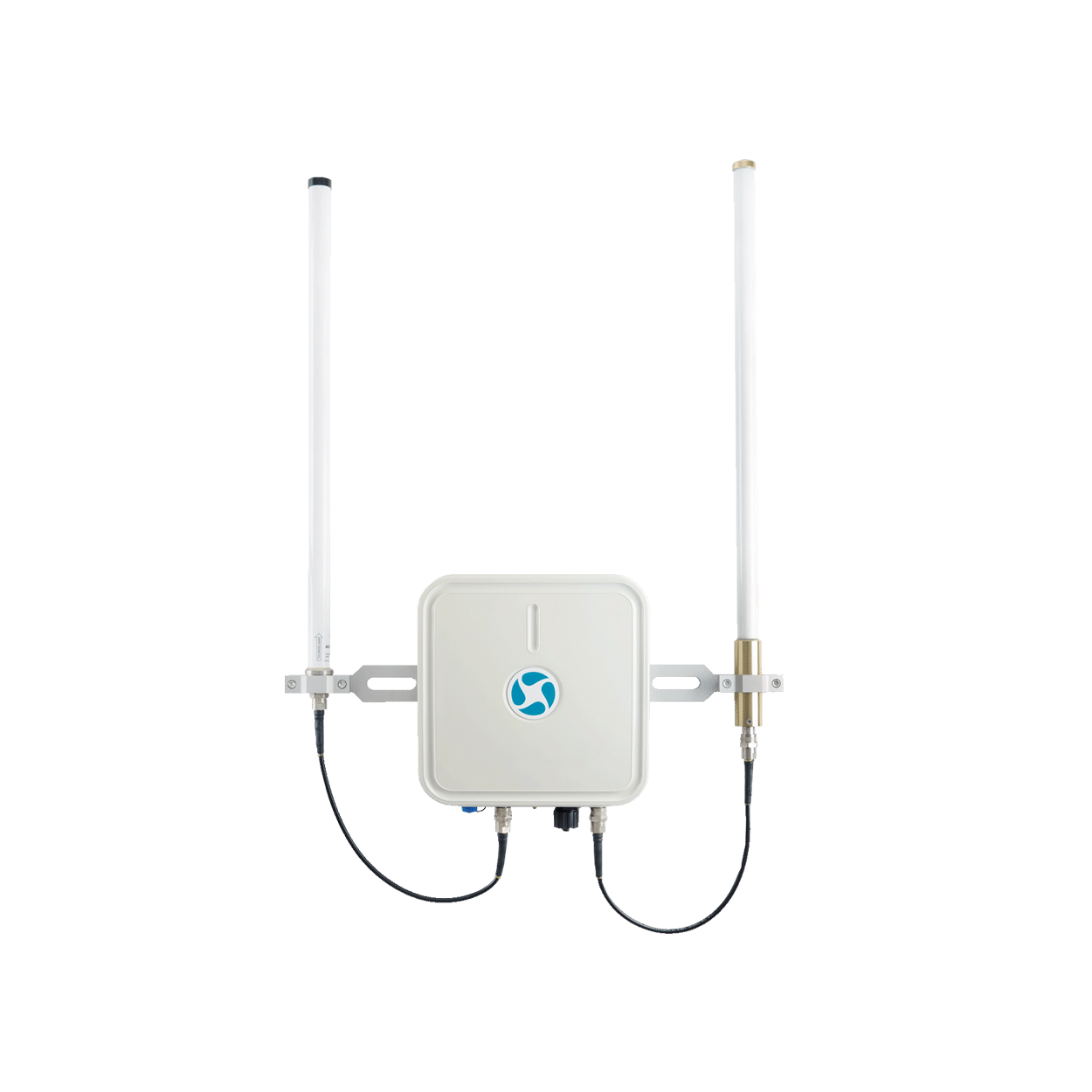
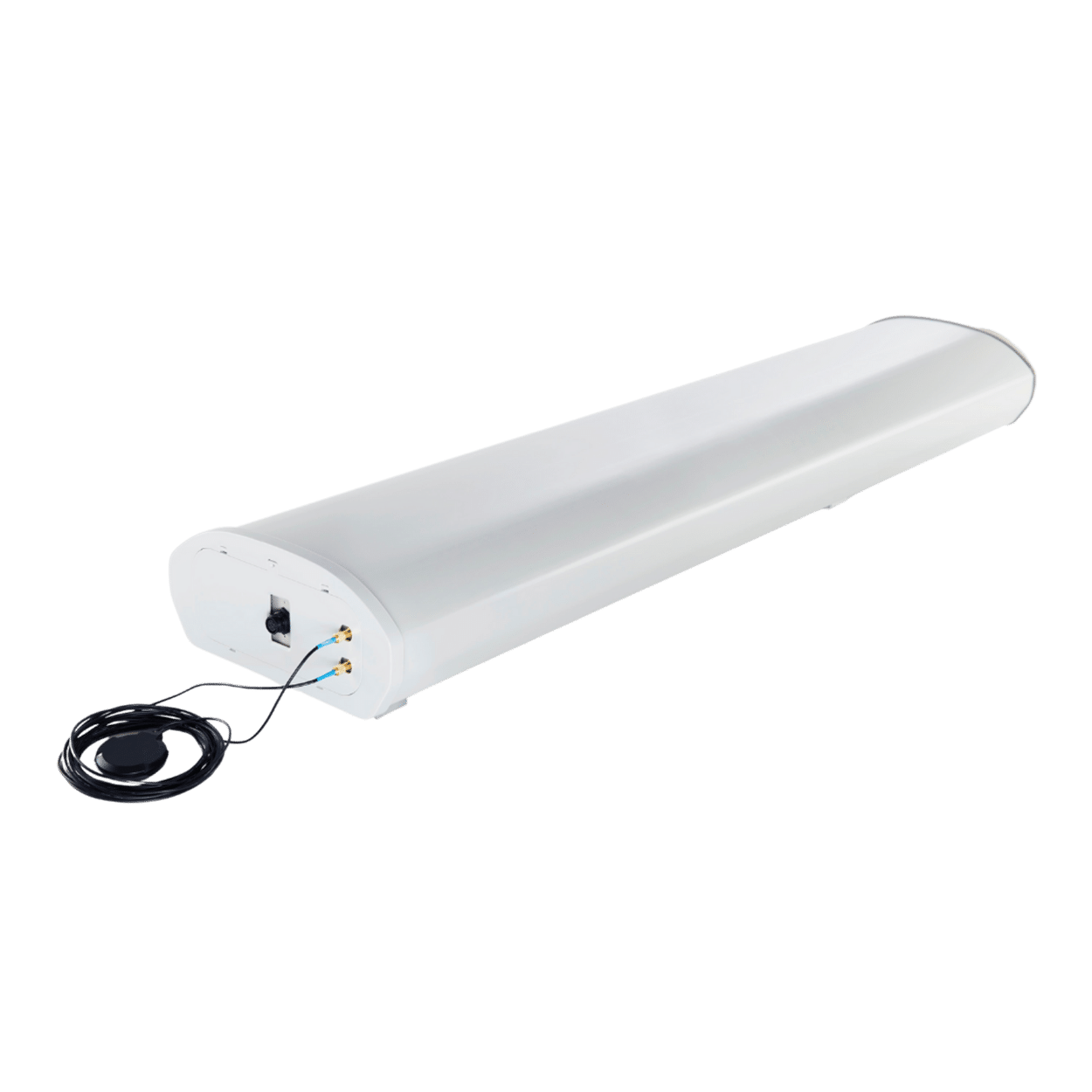
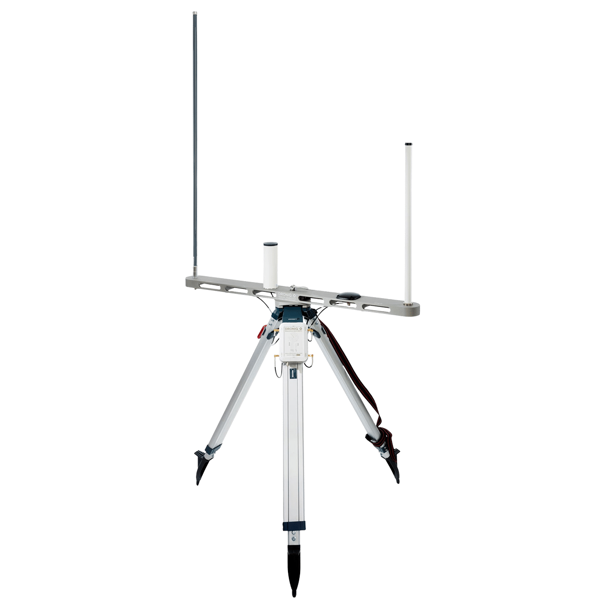
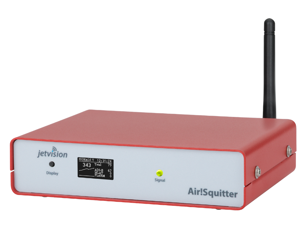
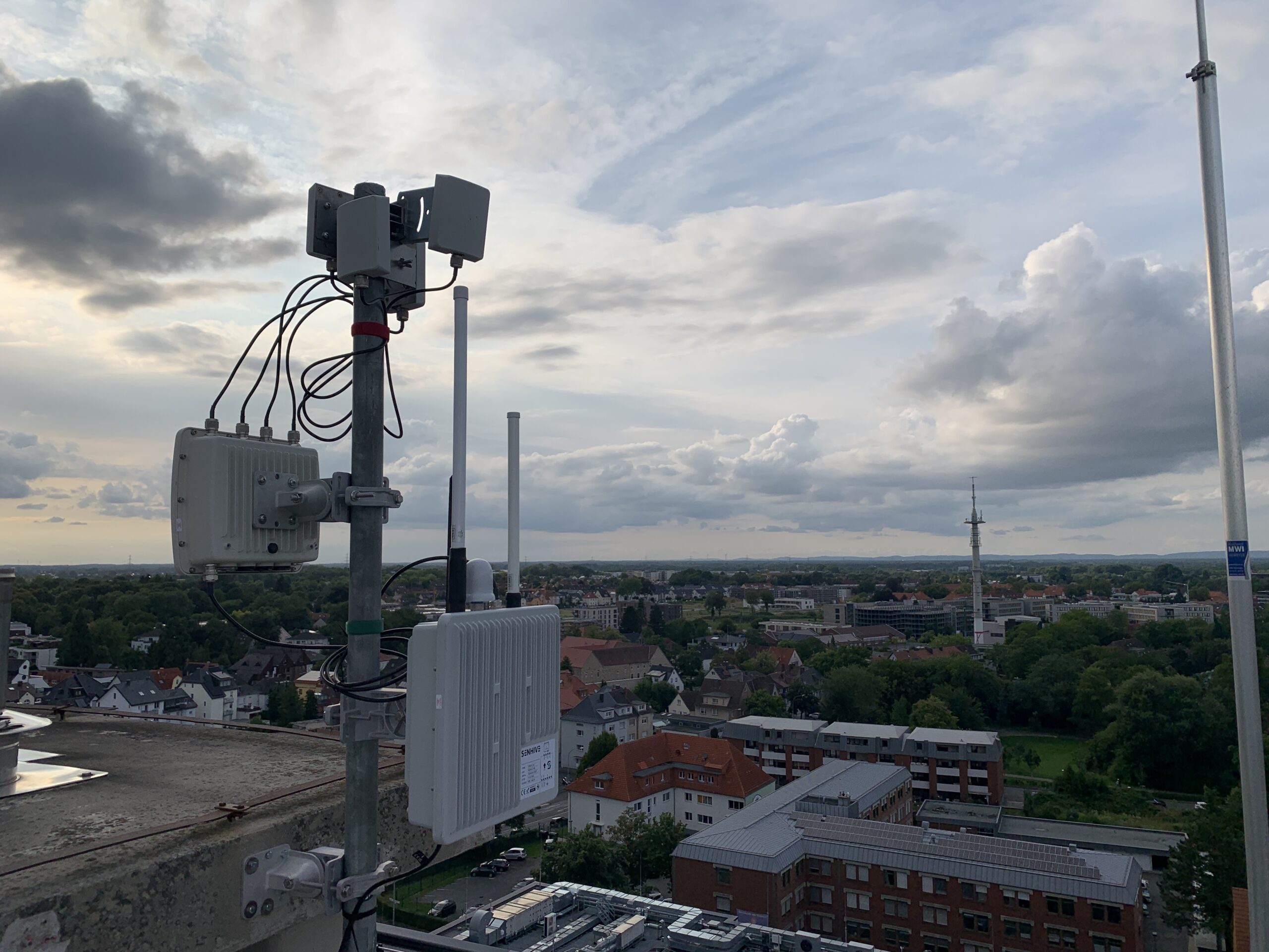
TraX combines several technologies for maximum visibility: RADAR, ADS-B, FLARM and optionally also Remote ID. This gives you a precise real-time display of all relevant air traffic participants.
Is the use of TraX permitted in CTRs or ED-Rs?
TraX itself does not replace clearances or airspace clearances, but can support the planning and execution of flights in controlled airspaces. Compliance with the applicable regulations is the responsibility of the pilot.
Can I fly with TraX in all areas?
TraX shows you the current traffic situation, but does not replace any permits or legal obligations. You are still responsible for complying with applicable air traffic regulations.
Will my own drone also be displayed in TraX?
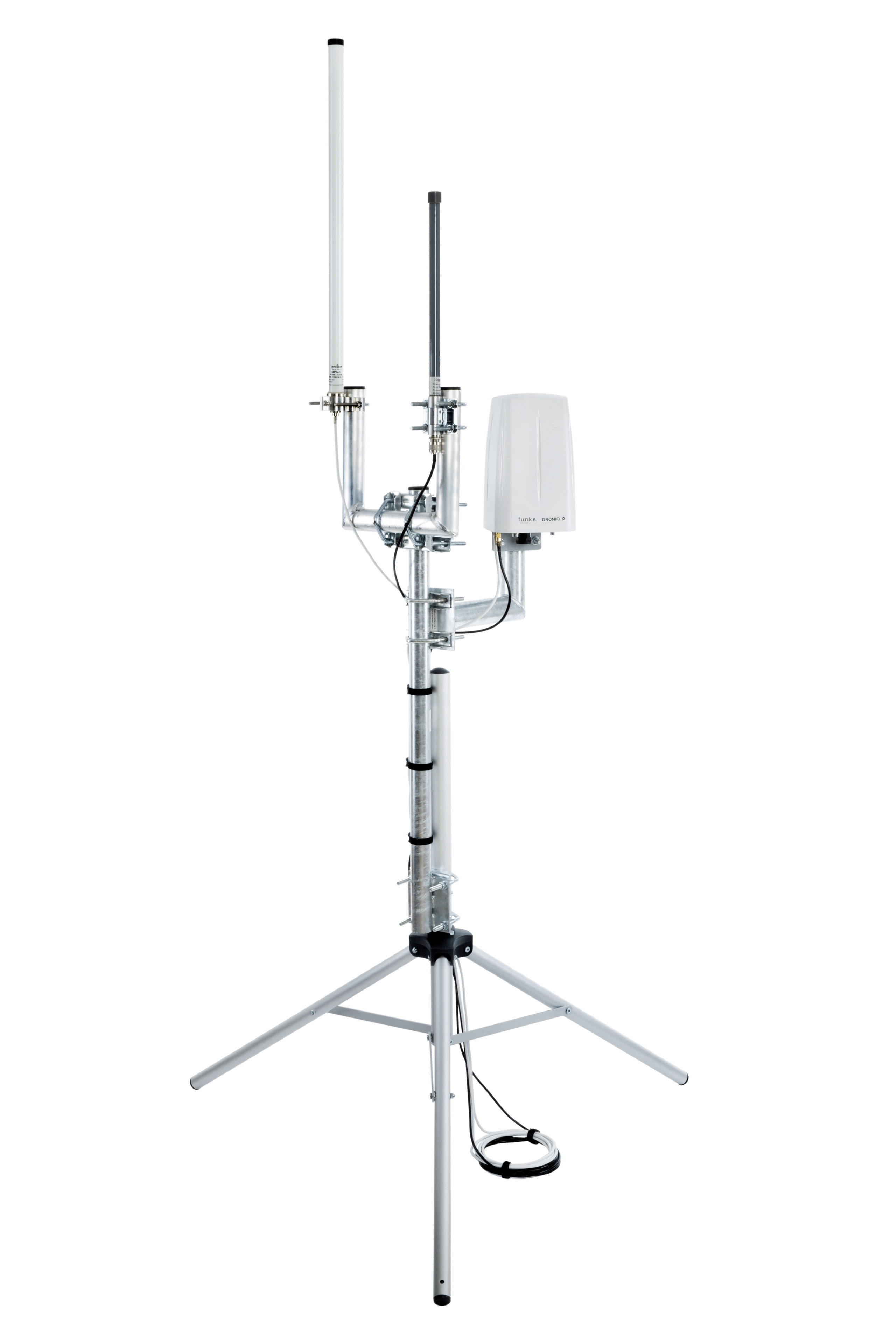
If your drone transmits a remote ID, it is recognized by TraX and can be made visible by an antenna system or specifically excluded in the warning logic if desired.
By selecting "Fly Now," you can make your flight area visible to other air traffic participants.
How can I use TraX in the field (e.g. BOS)?
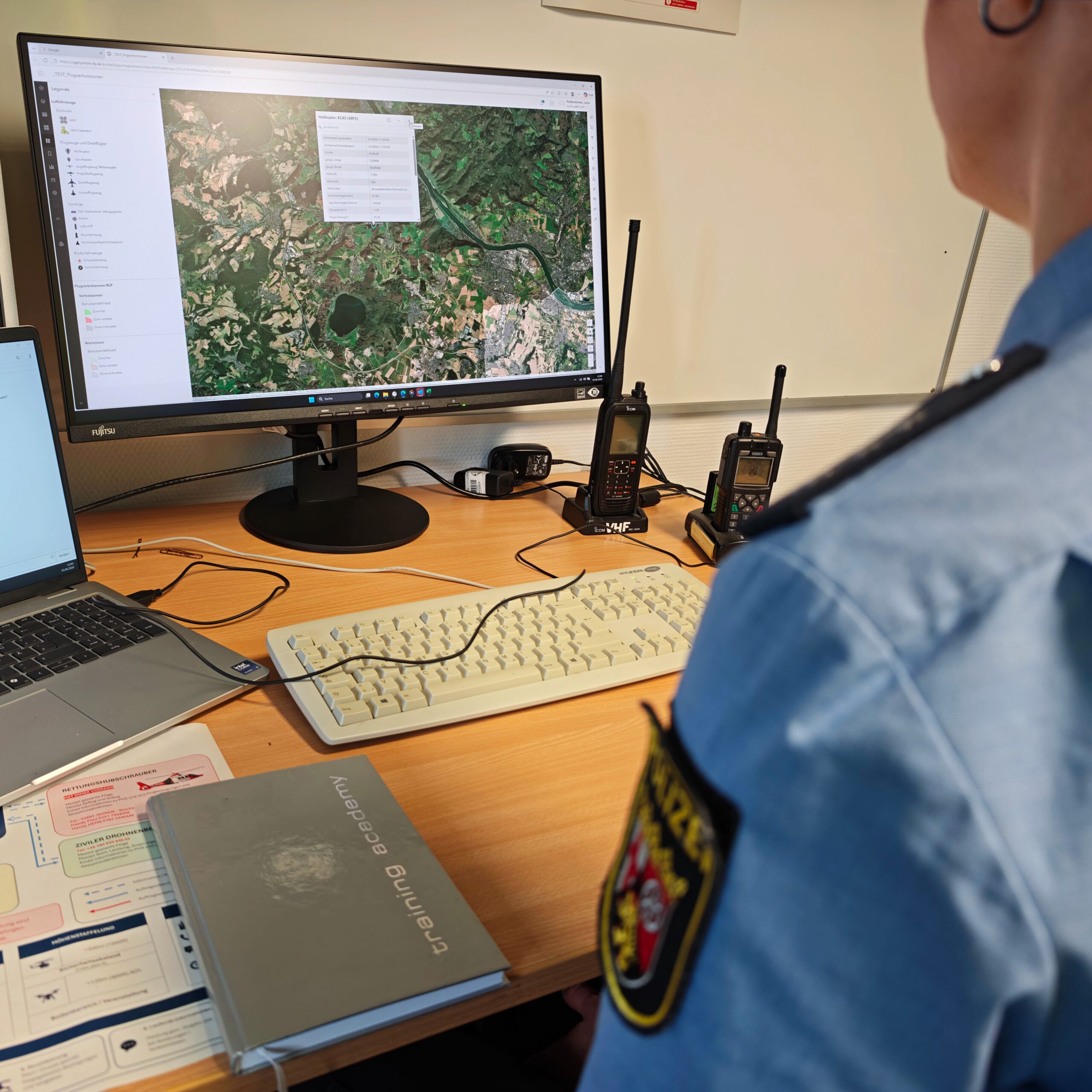
TraX is ideal for situation centers or incident command. Thanks to real-time data and acoustic warnings, the flight situation remains transparent - even with several teams or in complex situations.
I fly privately - is TraX still worthwhile for me?
Yes, recreational pilots also benefit from TraX. Especially in busy areas or when flying near airports, cities or events, TraX helps you to keep an overview of the surrounding airspace - and to react to manned traffic at an early stage.
Do I have to be a professional for TraX?
No. The user interface is intuitively designed and also suitable for beginners. You receive clear visual and acoustic warnings - without complex configurations. If you want to get more out of it, you can customize the settings.
Is TraX also suitable for FPV flights?
Absolutely. Situational awareness is limited, especially during FPV flights (with video goggles). TraX helps here to keep an eye on manned air traffic - e.g. via an external device or by an accompanying person in the team.
Do I need additional hardware to use TraX?
No. TraX is completely web-based. All you need is an internet-enabled device (laptop, tablet or smartphone) and an up-to-date browser.
Is my privacy protected as a remote pilot?
Yes, TraX only displays technical data that is publicly broadcast anyway (e.g. via ADS-B or Remote ID). No personal data is stored or passed on.