Intended use DJI Matrice M400
The DJI Matrice 400 was developed for missions that require precision, endurance and safety. Typical applications include the inspection of power lines, pipeline inspections, surveying tasks, public safety and rescue operations as well as drone use at night or in difficult weather conditions.
Thanks to innovative obstacle detection using rotating LiDAR and mmWave radar as well as powerful AI functions and AR navigation, the Matrice 400 can also fly complex and recurring routes autonomously and safely. Support for a wide range of payloads - such as the Zenmuse H30 series, L2 or P1, speakers and spotlights - enables flexible mission planning. In combination with DJI FlightHub 2, DJI Terra and DJI Modify, the Matrice 400 is the ideal platform for professional users in the energy supply, public safety, construction and geodesy sectors.

Scope of delivery DJI Matrice M400 RTK
- 1x Matrice 400
- 1x RC Plus 2 Enterprise Enhanced
- 1x RC Plus 2 sub2G SDR module
- 1x RC Plus 2 riser and holder set
- 1x Matrice 400 2510F propeller
- 1x Matrice 400 gimbal damper
- 1x Matrice 400 transport case
- 1x calibration cover for rotating LiDAR
- 1x front propeller holder
- 1x rear propeller holder
- 1x USB-C to USB-C data cable
- 1x WB37 battery
- 2x E-Port V2 rubber cover
- 4x screws for rubber plugs (2×2)
- 1x screws and tools
- 1x cleaning tool set

Technical data
Aircraft | DJI Matrice M350 RTK | DJI Matrice M400 |
---|---|---|
Dimensions (unfolded, without propeller) | 810 × 670 × 430 mm (L×W×H) | 980 × 760 × 480 mm (L×W×H) (with landing frame) |
Dimensions (folded, with propellers) | 430 × 420 × 430 mm (L×W×H) | 490 × 490 × 480 mm (L×W×H) (with landing gear and gimbal) |
Dimensions of the aircraft case | 779 × 363 × 528 mm (L × W × H) | |
Diagonal center distance | 895 mm | 1070 mm |
Weight | Without batteries: Approximately 3.77 kg With two TB65 batteries: Approx. 6.47 kg (with single gimbal pointing downwards) | Without batteries: 5020 ± 20 g With batteries: 9740 ± 40 g The actual take-off weight (with propeller) may vary due to different batch materials and external factors. |
Max. Payload | 960 g | 6 kg The payload of 6 kg was measured at the third gimbal connection under conditions at sea level. The payload capacity decreases with increasing altitude. For more information, please refer to the official user manual. |
Max. Take-off weight | 9,2 kg | 15.8 kg |
Propeller size | 25 inch | |
Operating frequencies | 2.400 to 2.4835 GHz 5.150 to 5.250 GHz (CE: 5.170 to 5.250 GHz) 5.725 to 5.850 GHz In some countries and regions, the 5.1 GHz and 5.8 GHz frequency bands are prohibited, or the 5.1 GHz frequency band is approved for indoor use only. Please refer to local laws and regulations. | |
Radiated power (EIRP) | 2.400 to 2.4835 GHz: < 33 dBm (FCC) < 20 dBm (CE/SRRC/MIC) 5.150 to 5.250 GHz (CE: 5.170 to 5.250 GHz): < 23 dBm (CE) 5.725 to 5.850 GHz: < 33 dBm (FCC/SRRC) < 14 dBm (CE) | |
Hovering accuracy (windless or windy) | Vertical: ±0.1 m (with line-of-sight positioning) ±0.5 m (with GNSS positioning) ±0.1 m (with RTK positioning) Horizontal: ±0.3 m (with line-of-sight positioning) ±1.5 m (with GNSS positioning) ±0.1 m (with RTK positioning) | Vertical: ±0.1 m (with visual positioning) ±0.5 m (with satellite positioning) ±0.1 m (with RTK positioning) Horizontal: ±0.3 m (with line-of-sight positioning) ±0.5 m (with satellite positioning) ±0.1 m (with RTK positioning) |
RTK position accuracy (RTK FIX) | 1 cm + 1 ppm (horizontal) 1.5 cm + 1 ppm (vertical) | 1 cm + 1 ppm (horizontal) 1.5 cm + 1 ppm (vertical) |
RTK alignment | Supports RTK alignment with an accuracy of better than 2° | |
Airborne ADS-B reception | With the airborne ADS-B In receiver and two antennas, reception is possible up to 20 km away. | |
Max. Angular velocity | Pitch: 300°/s Yaw: 100°/s | Yaw: 100°/s |
Max. Pitch angle | 30° In N mode and with activated vision sensors (front): 25°. | 35° |
Max. Climbing speed | 6 m/s | 10 m/s |
Max. Speed in vertical descent | 5 m/s | 8 m/s |
Max. Sink rate (inclination) | 7 m/s | |
Maximum speed | 23 m/s | 25 m/s |
Max. Flight altitude | 5.000 m When using the 2110s propellers and with a takeoff weight of ≤ 7.4 kg. 7.000 m Measured with the 2112 low-noise propellers for high altitudes and a takeoff weight of ≤ 7.2 kg. | |
Max. Wind resistance | 12 m/s | 12 m/s Maximum wind resistance during take-off and landing. |
Max. Flight time | 55 minutes Measured with Matrice 350 RTK flying at about 8 m/s without payloads in a windless environment until battery level reaches 0%. The data is for reference only. Actual usage time may vary depending on flight mode, accessories and environment. Please pay attention to warning message in the app | 59 minutes Measured with a drone flying at a constant speed of 10 m/s in a windless environment at sea level, with the H30T mounted (total weight 10,670 g), and a battery level of 100 % to 0 %. The figures are for reference only. Actual performance may vary depending on environment, usage and firmware version. |
Max. Hover time (with no wind) | 53 minutes Measured with a drone hovering in a windless environment at sea level, with the H30T mounted (total weight 10,670 g), and a battery level of 100 % to 0 %. The figures are for reference only. Actual usage time may vary depending on flight mode, accessories and environment. |
|
Max. Flight distance (without wind) | 49 km Measured with a drone flying at a constant speed of 17 m/s in a windless environment at sea level, without external payloads, and a battery level of 100 % to 0 %. Actual performance may vary depending on environment, usage and firmware version. |
|
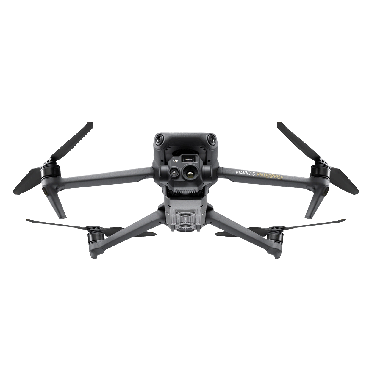
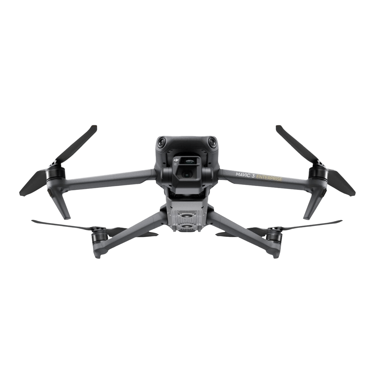
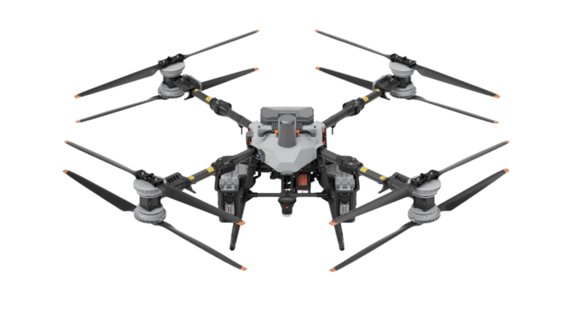
Supported gimbals from DJI | Zenmuse H20, Zenmuse H20T, Zenmuse H20N, Zenmuse P1, and Zenmuse L1 | Gimbal cameras: Zenmuse H30, Zenmuse H30T, Zenmuse L2 and Zenmuse P1 
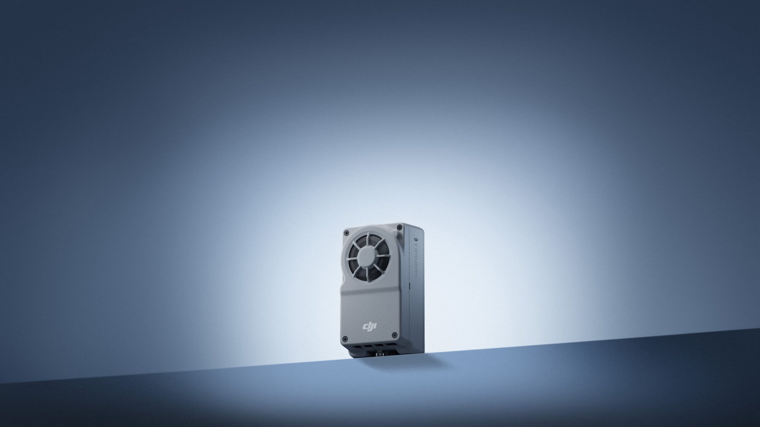
Functional accessories: Zenmuse S1 (drone spotlight), Zenmuse V1 (drone speaker), Manifold 3, DJI RC Plus 2 sub2G SDR module, DJI mobile radio dongle 2 RTK station: D-RTK 3 multifunction station, D-RTK 2 mobile station Ecosystem accessories: DJI X-Port DJI E-Port V2 developer kit DJI E-Port V2 flat round cable connection kit DJI SKYPORT V3 adapter set DJI SKYPORT V3 flat round cable connection kit |
Supported gimbal configurations | Downward facing gimbal Single upward facing gimbal Dual downward facing gimbal Single downward and upward pointing gimbal Dual downward pointing gimbal and single upward pointing gimbal | |
Connections | USB-C debug port × 1: USB 2.0 E-Port V2 × 4: On the lower part of the drone, with 120 W power per port Mobile radio dongle 2 interface × 2: On the underside of the drone |
|
Internal memory | n/a | |
Signal lamp | Integrated in the aircraft | |
Protection class | IP55 The protection class is not permanently valid and may decrease due to product wear. | IP55 The IP protection class is not permanently valid and may be reduced due to product wear. |
Global Navigation Satellite System (GNSS) | GPS + GLONASS + BeiDou + Galileo | GPS + Galileo + BeiDou + GLONASS* * GLONASS is only supported if the RTK module is activated. With the airborne ADS-B receiver and two antennas, reception is possible at a distance of up to 20 km. |
Operating temperature | -20 °C to 50 °C (-4° to 122 °F) | -20° to 50° C (without sunlight)-20° to 50° C (without sunlight) |
Gimbal | DJI Matrice M400 |
---|---|
Maximum payload on the individual gimbal connection | 1400 g If the payload exceeds 950 g, the service life of the gimbal damper is reduced from 1000 hours to 400 hours. |
Maximum payload on the dual gimbal connection | 950 g |
Maximum payload on the third gimbal connection | 3 kg with quick-release fastener, 6 kg with screw fastening |
Recognition | DJI Matrice M400 |
---|---|
Recognition system | Omnidirectional dual vision sensors (all-round visibility in full color through fisheye camera sensors) Horizontally rotating LiDAR, upper LiDAR and a downward-facing 3D infrared range sensor Millimeter wave radar in six directions |
To the front | Measuring range: 0.4 to 21 m Detection range: 0.4 to 200 m Field of vision: 90° (horizontal), 90° (vertical) |
To the rear | Measuring range: 0.4 to 21 m Detection range: 0.4 to 200 m Field of vision: 90° (horizontal), 90° (vertical) |
Lateral | Measuring range: 0.6 to 21 m Detection range: 0.5 to 200 m Field of vision: 90° (horizontal), 90° (vertical) |
Downwards | Measuring range: 0.5 to 19 m The field of vision to the front and rear is 160° and to the right and left 105°. |
Operating environment | Forwards, backwards, to the left, to the right and upwards: Delicate texture on the surface, sufficient light. Downwards: The floor has rich textures and sufficient lighting conditions*, with a diffuse reflective surface and a reflectance of more than 20% (e.g. walls, trees, people, etc.). * Sufficient lighting conditions refer to an illuminance no less than that of a city light scene at night. |
Rotating LiDAR | Standard measuring range: 0.5 - 100 m at 100,000 lux and 10 % reflectivity Measuring range for power lines: 35 m at an inclination of 30° and 10,000 lux for measuring aluminum-steel core lines with a diameter of 21.6 mm and a relative inclination of 30° to the left and right Field of view: 360° (horizontal), 58° (vertical) Dot frequency: 520,000 dots/second Laser wavelength: 905 nm Safety rating: Class 1 (IEC60825-1:2014), eye-safe |
Upper LiDAR (3D ToF) | 0.5 m to 25 m at night (reflectivity > 10 %) The field of vision upwards and downwards is 60° and 60° to the left and right. |
Downward-facing 3D infrared distance sensor | Measuring range: 0.3 m to 8 m (reflectivity > 10 %) The field of view to the front and rear is 60° and to the left and right 60°. |
mmWave radar | Measuring range for power line: 36 m distance for an aluminum-steel core cable with a diameter of 12.5 mm 50 m distance for an aluminum-steel core cable with a diameter of 21.6 mm Field of view: ± 45° (horizontal and vertical) The mmWave radar cannot be used in certain countries and regions. |
FPV camera | DJI Matrice M350 RTK | DJI Matrice M400 |
---|---|---|
Resolution | 1080p | 1080p |
Field of view | 142° | Diagonal field of view: 150° Horizontal field of vision: 139.6 Vertical field of view: 95.3° |
Frame rate | 30fps | 30fps |
Night vision | Starlight quality |
Video transmission | DJI Matrice M350 RTK | DJI Matrice M400 |
---|---|---|
Video transmission system | DJI O3 Enterprise Transmission | DJI O4 Enterprise Enhanced Video Transmission System |
Quality of the live view | Remote control: 3-channel 1080p/30fps | |
Operating frequency and radiated power (EIRP) | 902 to 928 MHz: < 30 dBm (FCC), < 16 dBm (MIC) 1.430 to 1.444 GHz: < 35 dBm (SRRC) 2.400 to 2.4835 GHz: < 33 dBm (FCC), < 20 dBm (CE/SRRC/MIC) 5.150 to 5.250 GHz: < 23 dBm (FCC/CE) 5.725-5.850 GHz: < 33 dBm (FCC), < 14 dBm (CE), < 30 dBm (SRRC) The permissible operating frequency varies depending on the country and region. For more information, please refer to local laws and regulations. |
|
Antenna | 4 video transmission antennas, 2 transmitters, 4 receivers | WLAN antenna × 8: 6 antennas with vertical polarization and 2 antennas with horizontal polarization sub2G antenna × 2: 2 antennas with vertical polarization 4G antenna × 4 Operating mode: 2T4R |
Max. Transmission range (without obstacles and interference) | 20 km (FCC) 8 km (CE/SRRC/MIC) | 40 km (FCC) 20 km (CE/SRRC/MIC) Measured in an environment without obstacles and interference. The above data shows the farthest communication range for each standard for a flight in one direction, excluding return flight. Please pay attention to the return warning message in the DJI Pilot 2 app during the flight. |
Max. Transmission range (with interference) | Low interference and obstruction by buildings: approx. 0-0.5 km Low interference and obstruction by trees: approx. 0.5-3 km Strong interference and no obstructions: Urban landscape, approx. 1.5 to 3 km Medium interference and without obstacles: Suburban landscape, approx. 3 to 9 km Low interference and without obstacles: Suburban/ocean, approx. 9 to 20 km Measured with FCC compliance in an environment without obstacles with low interference at an altitude of approximately 120 m. Data is for reference only. Actual transmission range may vary depending on obstruction and interference conditions in the environment. Please pay attention to warning message in the app | Strong interference (e.g. dense buildings, residential areas): approx. 1.5 to 6 km Medium interference (suburban areas, city parks, etc.): approx. 6 to 15 km Low disturbance (open spaces, remote areas, etc.): Approx. 15 to 40 km Data tested to FCC standards in unobstructed environments with typical interference. For reference only and does not guarantee actual flying distance. |
Max. Download speed | Standard mode: 80 MBit/s downlink Download of recordings: < 25 MBit/s Single channel bit rate: ≤ 12 MBit/s The above data was measured under conditions where the aircraft and remote control were in close proximity to each other and there was no interference. |
|
Other | Supports dual control mode and the 2-channel mobile radio dongle 2 |
Intelligent Flight Battery/Accumulator | DJI Matrice M350 RTK | DJI Matrice M400 |
---|---|---|
Model | TB65 | TB100 |
Storage capacity | 5,880 mAh | 20,254 mAh |
Voltage | 44,76 V | 48,23 V |
Max. Charging voltage | 54,6 V | |
Type | Li-Ion | Li-Ion 13S |
Energy | 263.2 Wh | 977 Wh |
Weight | Approx. 1.35 kg | 4720±20 g |
Operating temperature/temperature during charging | -20 °C to 50 °C (-4° to 122 °F) | 5 °C to 45 °C |
Discharge temperature | -20 °C to 75 °C | |
Ideal storage temperature | 22 °C to 30 °C (71.6 °F to 86 °F) | |
Loading temperature | -20 °C to 40 °C (-4° to 104 °F). When the ambient temperature of the battery is below 5 °C (41 °F), the self-heating function is automatically activated. Charging at low temperatures may shorten the battery life. It is recommended to charge at 15° to 35° C (59° to 95° F). | 5 °C to 45 °C |
Loading time | With a 220V power supply, it takes approximately 60 minutes to fully charge two TB65 Intelligent Flight Batteries and approximately 30 minutes to charge them from 20% to 90%. With a 110V power supply, it takes approximately 70 minutes to fully charge two TB65 Intelligent Flight Batteries and approximately 40 minutes to charge them from 20% to 90%. | |
Battery heater | Single battery: Supported Battery in aircraft: Supported Battery charging station: Supported |
|
Discharge rate | 4C | |
Max. Charging power | 2C | |
Low temperature charging | Supports self-heating for charging at low temperatures | |
Number of cycles | 400 |
DJI Battery Station/Intelligent Battery Charging Station | DJI Matrice M350 RTK | DJI Matrice M400 |
---|---|---|
Model | BS100 | |
Dimensions | 580 × 358 × 254 mm (L×W×H) | 605 × 410 × 250 mm (L×W×H) |
Dead weight | Approx. 8.98 kg | 11.8 kg |
Compatible devices | Eight TB65 Intelligent Flight Batteries Four WB37 Intelligent Batteries | TB100 Intelligent Flight Battery, TB100C Wired battery WB37 battery |
Input voltage | 100-120 VAC, 50-60 Hz 220-240 VAC, 50-60 Hz | 100 to 240 V (AC), 50/60 Hz, 10 A |
Maximum input power | 1.070 W | |
Output power | 100-120 V: 750 W 220-240 V: 992 W | USB-C: TB100 battery interface: 100 to 110 V: Approx. 1185 W 110 to 180 V: Approx. 1474 W 180 to 240 V: Approx. 2184 W WB37 Battery interface: 100 to 240 V: Approx. 52 W USB-C: 5.0 V 3.0 A, 9.0 V 3.0 A, 12.0 V 3.0 A, 15.0 V 3.0 A, 20.0 V 3.25 A |
Operating temperature | -20 °C to 40 °C (-4° to 104 °F) | -20 °C to 40 °C |
Number of charging connections | Three TB100 and two WB37 batteries | |
Charging mode | 90% in flight-ready mode; 100% in standard mode Supports fast charging mode and whisper mode |
|
Loading time | TB100/TB100C battery charging time from 0 % to 100 %: 220 V: 45 minutes (fast charging mode); 110 minutes (whisper mode) 110 V: 70 minutes (fast charging mode); 110 minutes (silent mode) The charging times were measured under test conditions at an ambient temperature of 25 °C. |
DJI RC Plus 2 Enterprise Enhanced | DJI Matrice M400 |
---|---|
Video transmission system | DJI O4 Enterprise Enhanced Video Transmission System |
Max. Transmission range (without obstacles and interference) | 40 km (FCC) 20 km (CE/SRRC/MIC) Measured in an environment without obstacles and interference. The above data shows the farthest communication range for each standard for a flight in one direction, excluding return flight. Please pay attention to the return warning message in the DJI Pilot 2 app during the flight. |
Operating frequency and radiated power (EIRP) | 902 to 928 MHz: < 30 dBm (FCC), < 16 dBm (MIC) 2.400 to 2.4835 GHz: < 33 dBm (FCC), < 20 dBm (CE/SRRC/MIC) 5.150 to 5.250 GHz: < 23 dBm (FCC/CE) 5.725-5.850 GHz: < 33 dBm (FCC), < 14 dBm (CE), < 30 dBm (SRRC) The permitted operating frequency varies depending on the country and region. For more information, please refer to local laws and regulations. |
Antenna | 2T4R, multi-beam antenna with high gain for 2.4 GHz/5.8 GHz sub2G module: 2T2R |
Improved transmission | Supports DJI mobile dongle 2 |
Wi-Fi protocol | Wi-Fi Direct, wireless display, IEEE 802.11 a/b/n/ac/ax Supports 2×2 MIMO Wi-Fi, supports simultaneous dual band (DBS) for dual MAC, with data rates of up to 1774.5 Mbps (2×2 + 2×2 11ax simultaneous dual band) |
Wi-Fi operating frequency | 2.4000 to 2.4835 GHz 5.150 to 5.250 GHz 5.725 to 5.850 GHz The 5.8 and 5.2 GHz frequencies are prohibited in some countries. In some countries, the 5.2 GHz frequency is only permitted for indoor use. |
Wi-Fi radiated power (EIRP) | 2.4 GHz: < 26 dBm, < 20 dBm (CE/SRRC/MIC) 5.1 GHz: < 23 dBm (FCC/CE/SRRC/MIC) 5.8 GHz: < 23 dBm (FCC/SRRC), < 14 dBm (CE) |
Bluetooth protocol | Bluetooth 5.2 |
Bluetooth operating frequency | 2.400 to 2.4835 GHz |
Bluetooth radiated power (EIRP) | < 10 dBm |
Screen resolution | 1920 × 1200 |
Screen size | 7.02 inch |
Frame rate of the screen | 60 fps |
Brightness | 1400 Nits |
Control via touchscreen | 10-point multi-touch |
Integrated battery | 2S2P 18650 lithium-ion battery with high energy density (6500 mAh at 7.2 V) 46.8 Wh |
External battery | Optional, WB37 (4920 mAh at 7.6 V) 37 Wh |
Loading type | Supports PD fast charging with a maximum 20 V/3.25 A USB-C charger |
Storage capacity | RAM 8G + ROM 128G UFS + expandable memory via microSD card |
Loading time | 2 hours for internal battery; 2 hours for internal and external battery. When the remote controller is turned off and a standard DJI charger is used. |
Internal battery runtime | 3.8 hours |
External battery runtime | 3.2 hours |
Output connection | HDMI 1.4 |
Indicators | Status LED, battery status LED, connection status LED, three-color light, brightness adjustable to ambient light |
Loudspeaker | Supports buzzer |
Audio | Array microphone |
Operating temperature | -20 °C to 50 °C |
Storage temperature | Within one month: -30 °C to 45 °C One to three months: -30 °C to 35 °C Three months to one year: -30 °C to 30 °C |
Loading temperature | Loading temperature |
Supported aircraft | Matrice 400 |
Global navigation satellite system | GPS + Galileo + BeiDou |
Dimensions | 268 × 163 × 94.5 mm (L × W × H) Width including folded external antenna, thickness including handle and joystick. |
Weight | 1.15 kg (without external battery) |
Model | TKPL 2 |
System version | Android 11 |
External interfaces | HDMI 1.4, SD 3.0, USB-C with OTG support, max. 65 W PD charging, USB-A with USB 2.0 support |
Accessories | Optional belt/waist support |
Frequently asked questions about commercial drone leasing:
What terms are offered when leasing a drone?
Leasing for drones is possible for 24 or 36 months. The lease term is extended by another 12 months if not cancelled in time (6 months) by the end date.
Who can use the leasing offer?
Drone leasing is intended exclusively for commercial customers. Ideally, the lessee should have been active in the market for at least 24 months. Sufficient creditworthiness is a prerequisite.
Who is the contractual partner in drone leasing?
Droniq GmbH supports you in the right selection of the drone, prepares the offer and acts as an intermediary in the leasing. The leasing contract itself is concluded with DLL Group (lessor), our leasing partner. The delivery of the drone takes place via Droniq.
Can the lease term be shortened or extended? What notice periods must be observed?
Early contract termination is possible at any time upon repurchase at the current residual value of the drone. An extension is also possible after the end of the term. Lease contracts that are not terminated in due time at the end date (6 months) are automatically extended by another 12 months.
Is there a purchase option after or even within the leasing period?
At the end of the leasing period, the lessee has the option to purchase the drone for its residual value. Furthermore, there is the possibility to redeem the drone during the leasing period.
Is damage covered under the lease or is there a protection package?
There is an electronics insurance that can be optionally selected when the leasing object is contracted, so that in the event of damage, a simple settlement is possible at any time. The insurance partner for the electronics insurance is HDI Versicherung AG.
Where may the leased drone be flown?
The use of the leased drone is generally only permitted in Germany. Deviating locations (in other EU countries) must be requested and approved by the lessor. Permanent use outside the EU is not possible.
What is the condition of the delivered leasing drone?
Only new equipment is delivered to lessees.
Information on product safety
Manufacturer:
DJI GmbH
Industriestrasse 12
97618 Niederlauer
Niederlauer, Germany
support.eu@dji.com
SZ DJI Technology Co.,Ltd
Lobby of T2, DJI Sky City, No. 53 Xianyuan Road, Xili Community, Xili Street, Nanshan District
518057 Shenzhen
Shenzhen, China
support@dji.com
Intermediaries:
Globe Flight GmbH
Borsigstrasse 7
93092 Barbing
Germany
info@globe-flight.de

Facts about the DJI Matrice M400
Headlights - visibility and signaling at night

Ideal for night-time BOS operations or search operations. The powerful spotlight improves visibility in the dark and can be used for signaling or illuminating emergency sites.

Loudspeakers - communication from the air

The loudspeaker can be used to transmit announcements from the air directly to people on site - for example for evacuation, warning or coordination in large-scale situations.

Zenmuse H30 - The all-rounder for day & night

The Zenmuse H30 series combines a wide-angle, zoom, laser rangefinder and thermal imaging camera in one gimbal. Ideal for BOS, inspections or security applications - by day and in complete darkness.

Zenmuse L2 - LiDAR surveying at the touch of a button

High-precision 3D data acquisition with LiDAR and RGB camera. The perfect solution for fast and detailed surveying of terrain, construction projects or vegetation structures.

Zenmuse P1 - Surveying with full format

With its 45 megapixel full-frame camera, the P1 is ideal for photogrammetric applications. Combined with DJI Terra, it can be used to efficiently create orthophotos, point clouds and 3D models.

Manifold 3 - Powerful onboard computing power

The Manifold 3 impresses with its compact design of only around 120 g and impressive computing power of 100 TOPS. As an extension for the Matrice 400, it increases the efficiency and performance of your operations through fast and powerful data processing.

Product features of the DJI Matrice M400

-
Extended flight time & impressive speed
The Matrice 400 impresses with up to 59 minutes of forward flight time and up to 53 minutes of hovering time (no wind and with H30T). With a maximum speed of 25 m/s, it also masters demanding missions such as search and rescue operations, firefighting or large-scale mapping reliably and agilely.
-
Multi-payload & versatile applications
With a load capacity of up to 6 kg and three gimbal connections, the Matrice 400 offers maximum flexibility. Thanks to four additional E-Port V2 connections, up to seven payloads can be mounted simultaneously - ideal for a wide range of applications and quick changes.
-
For demanding conditions
The Matrice 400 is certified to protection class IP55 and defies dust and rain with ease. With an operating temperature range of -20 °C to 50 °C, it guarantees stable performance and reliable results in any weather.
-
High-precision obstacle detection at power line level
The Matrice 400's innovative system combines rotating LiDAR, mmWave radar and low-light fisheye sensors to reliably detect even small obstacles such as high-voltage power lines - even in the dark, rain or fog. This ensures maximum safety in challenging terrain.
-
O4 Enterprise Enhanced Video Transmission System
With a ten-antenna system on the aircraft and a powerful phased-array antenna on the remote control, the O4 Enterprise Enhanced Video Transmission System offers an impressive range of up to 20 km. The Matrice 400 supports the sub-2G frequency band and automatically switches to the stronger network when using two DJI Cellular Dongle 2 - for stable connections even in urban interference zones or remote areas.
-
Airborne relay video transmission for extended range
The Matrice 400 has an integrated relay module that enables a drone to ascend to greater heights and relay the signal to a Matrice 400 further away. This technology significantly increases the transmission range and is particularly valuable for search and rescue missions and inspections in difficult, mountainous terrain.
-
Merged positioning
Thanks to the omnidirectional sensor fusion of rotating LiDAR, high-precision mmWave radar and full-color low-light fisheye sensors, the Matrice 400 achieves extremely precise positioning. It navigates safely and stably close to glass facades and wind turbines and returns reliably from building edges, mountain slopes or bridges - even without an updated return point.
-
Full-color visual support
The Matrice 400 is equipped with four low-light fisheye sensors, which provide colored visual support and thus ensure greater safety during flight.
-
Intelligent detection
The Zenmuse H30 series of the Matrice 400 combines visible and thermal imaging to reliably capture vehicles, ships and people during search and rescue missions and routine flights. The simple changeover to other models further extends the range of applications. The system also enables high-resolution raster images and offers powerful tracking functions.
-
Intelligent AR projection for a better overview and safety
The Matrice 400's advanced obstacle detection system automatically detects frontal obstacles such as power lines during network inspections and projects them onto the remote control screen as clearly visible AR lines - for maximum visibility and a safe flight.
When flying in urban areas, whether by day or night, the remote control displays building names, prominent landmarks and important streets in real time.
The system also enables a real-time route preview for return flights, obstacle detection and FlyTo maneuvers. During landing, an AR outline of the aircraft is displayed to facilitate exact positioning.
Even without prior 3D modeling, you can mark points, measure distances or calculate areas directly on the screen. All measurement results can be synchronized with DJI FlightHub 2 - for seamless teamwork and greater efficiency.
-
Real-time terrain tracking for precise height adjustment
The Matrice 400 enables dynamic terrain tracking in real time - in all horizontal directions. This function can be activated for both manual flights and automated flight routes and ensures a constant flight altitude relative to the ground.
For large-scale search and rescue missions, the object size on the screen remains stable, reducing the need for manual zoom adjustments. For mapping missions, a uniform ground sampling distance (GSD) is ensured - for precise and reliable mapping data.
-
Reliable take-off and precise landing on ships
For demanding offshore operations such as sea patrols or the inspection of wind turbines, the Matrice 400 is equipped with a special function for ship take-offs and landings. It can operate safely from stationary and moving ships. Thanks to the recognition of landing point patterns on the deck, precise and safe landings are possible even under difficult conditions.
-
Intelligent flight modes for efficient operations
Cruise control mode allows stable flight in a fixed direction without having to operate the control sticks continuously - ideal for long-haul flights or linear inspection tasks.
In emergency situations or disaster relief operations, the Matrice 400 automatically adapts its flight path and speed to its surroundings in order to reliably reach destinations without manual intervention.
With Smart Track, the desired target is precisely detected and the zoom is automatically adjusted. Even if the object is briefly obscured, the drone recognizes and tracks it again.
POI (Point of Interest) mode enables continuous observation and 3D modeling when flying around buildings or marked areas - for maximum efficiency in recurring observation and documentation tasks.
-
Automated operations efficiently implemented
Equipped with the LiDAR module of the Zenmuse L2, the Matrice 400 can carry out automated flights along power lines. It uses the rotating LiDAR to detect obstacles in real time and automatically flies around even intersecting lines.
DJI Pilot 2 or DJI FlightHub 2 can also be used to quickly plan and execute slope and geometric flight routes - ideal for precise measurements of facades, slopes or complex structures. In this way, the Matrice 400 enables efficient acquisition of highly accurate mapping data in a wide variety of terrain.
-
Industry-standard software solutions for maximum efficiency
DJI FlightHub 2 has been expanded specifically for the Matrice 400 and enables cloud-based remote control in real time. Pilots can use it to control flight attitude and payloads as well as perform remote take-off, landing and live control. The platform supports a wide range of route options - from slope routes to complex geometric flight plans. For multi-drone missions, multiple live streams can be displayed simultaneously, enabling effective mission coordination on the ground.
DJI Terra is a powerful software for 2D and 3D reconstruction based on photogrammetry. It supports both view-based image data and point cloud data captured with the Zenmuse L2 - ideal for applications such as surveying, mapping, power line inspection, emergency response, construction projects and forestry.
DJI Modify is a user-friendly solution for the post-processing of 3D models. Together with DJI Terra and the Matrice 400, it creates an end-to-end workflow for capturing, modelling, optimizing and sharing 3D data - perfect for professional aerial surveying and model editing.
-
Extended accessory solutions for professional applications
The Matrice 400 can be upgraded with a variety of powerful accessories - for maximum efficiency and flexibility in use. These include the DJI RC Plus 2 Enterprise Enhanced remote control, the DJI Mobile Dongle 2 for stable connectivity, the powerful TB100 battery and the TB100C wired battery for long-term use. The system is complemented by the BS100 intelligent charging station for optimized energy management and the multifunctional D-RTK 3 base station for high-precision positioning.
-
Open platform for developers and innovations
The Matrice 400 supports a flexible developer environment - ideal for individual applications:
- Algorithm development: access to onboard computing for own AI models
- PSDK: USB 3.0, 120 W power, expandable to up to 4 payload ports
- MSDK: Open source app development based on DJI Pilot 2
- Cloud API: Direct integration into third-party clouds without your own app
- Data access: interfaces for payload, LiDAR, radar and camera data
-
Security of user data
User data is protected by media data encryption, local data mode, AES-256 encryption of video transmission, cloud API and fast deletion of device data, among others.
Our competences
Full Service
Solutions
Droniq supports BOS & industry in all phases of drone operations.
Real
Experts
More than 100 years of know-how in aviation & telecommunications.
Experienced
industry professionals
Specialized in BOS and industrial drones.
Quality
seal
Droniq is a certified DJI Enterprise dealer.