20% promotional discount with the voucher code DQ4ACADEMY24 on
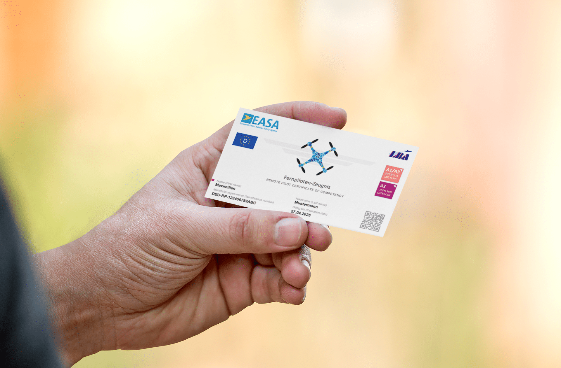
Remote pilot certificate A2 & BOS knowledge for remote pilots
- Drones & solutions
- Drones
- Drone accessories
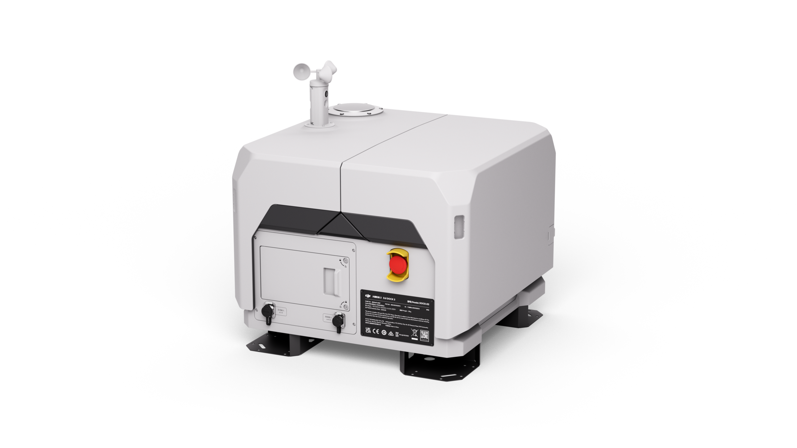
- Drone-in-a-Box System
- Trainings & Exams
- Show all
-
 Drones 1x1:
Online training course - UAS operation in the special category: Online training (EASA-compliant)
- Remote Pilot Certificate A2:
Training &
Exam (Bundle) - Remote pilot certificate A2: online training
- Remote Pilot Certificate A2: Presence Examination
- Remote pilot certificate A2: Business package
- BOS knowledge for remote pilots
- Consulting for UAS operators
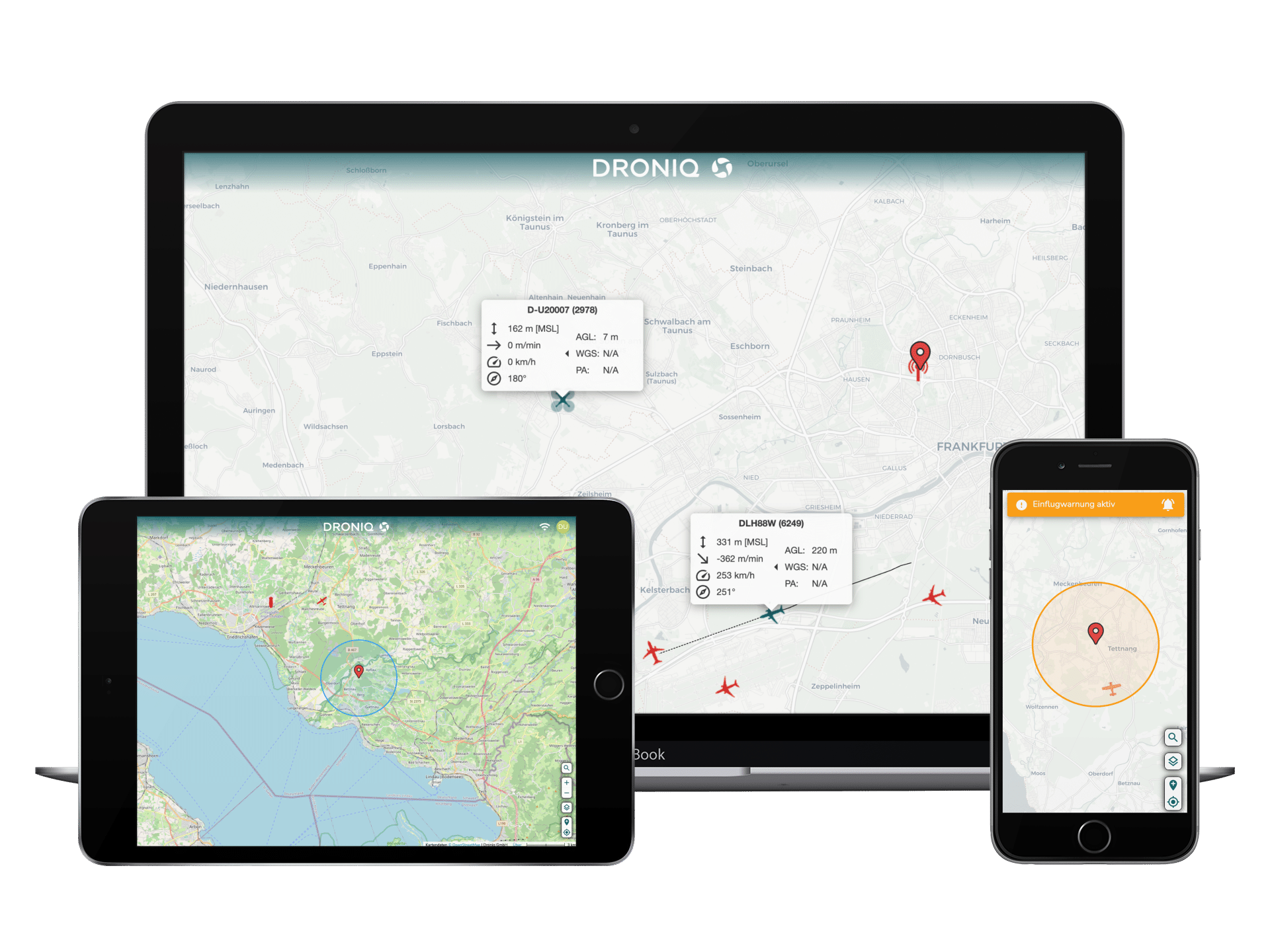
- UAS Traffic Management (UTM)
- Transponder & Anti-Collision
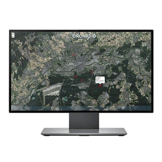
- Ground sensors
- Projects


- Drones & solutions
- Drones
- Drone accessories
- Drone-in-a-Box System
- Trainings & Exams
- Show all
- Drones 1x1:
Online training course - UAS operation in the special category: Online training (EASA-compliant)
- Remote Pilot Certificate A2:
Training &
Exam (Bundle) - Remote pilot certificate A2: online training
- Remote Pilot Certificate A2: Presence Examination
- Remote pilot certificate A2: Business package
- BOS knowledge for remote pilots
- Consulting for UAS operators
- UAS Traffic Management (UTM)
- Transponder & Anti-Collision
- Ground sensors
- Projects
Language