


Agricultural project in Saarland supports organic regulation 5
Together with the Saarland Farmers' Association and the Fraunhofer Institute for Computer Graphics Research (IGD), we are investigating how modern drone technology can support farmers in applying for eco-scheme 5 (ÖR5). The focus is on the automated recording of indicator species in grassland - with the help of drones and artificial intelligence.
Aerial survey in the Blieskastel area
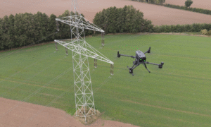
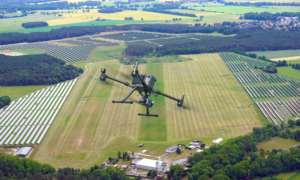
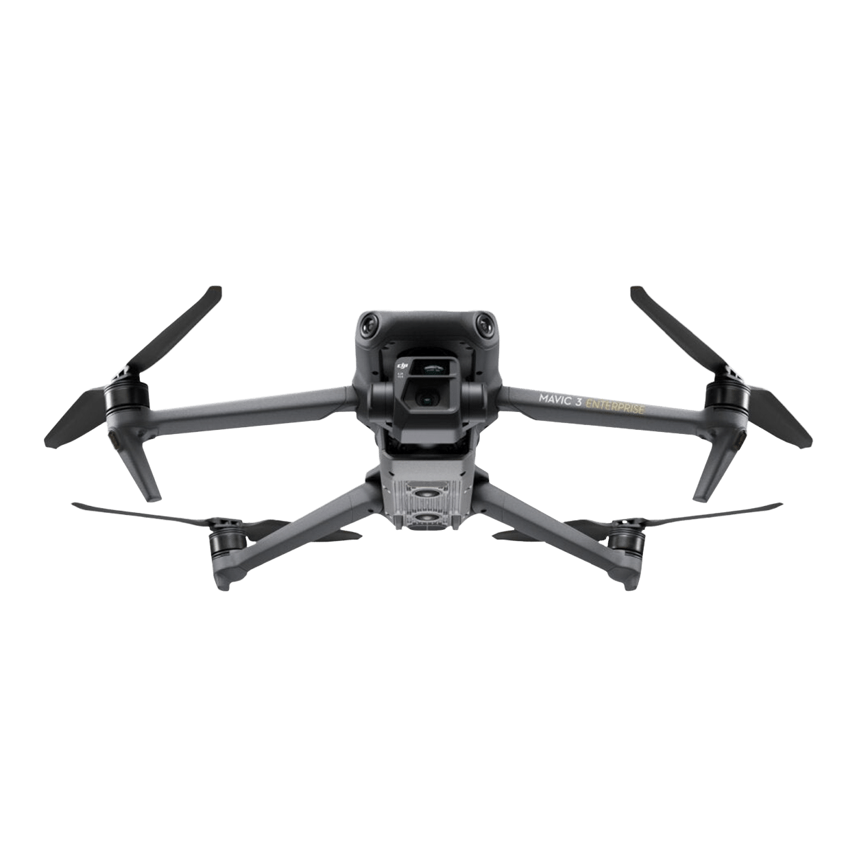
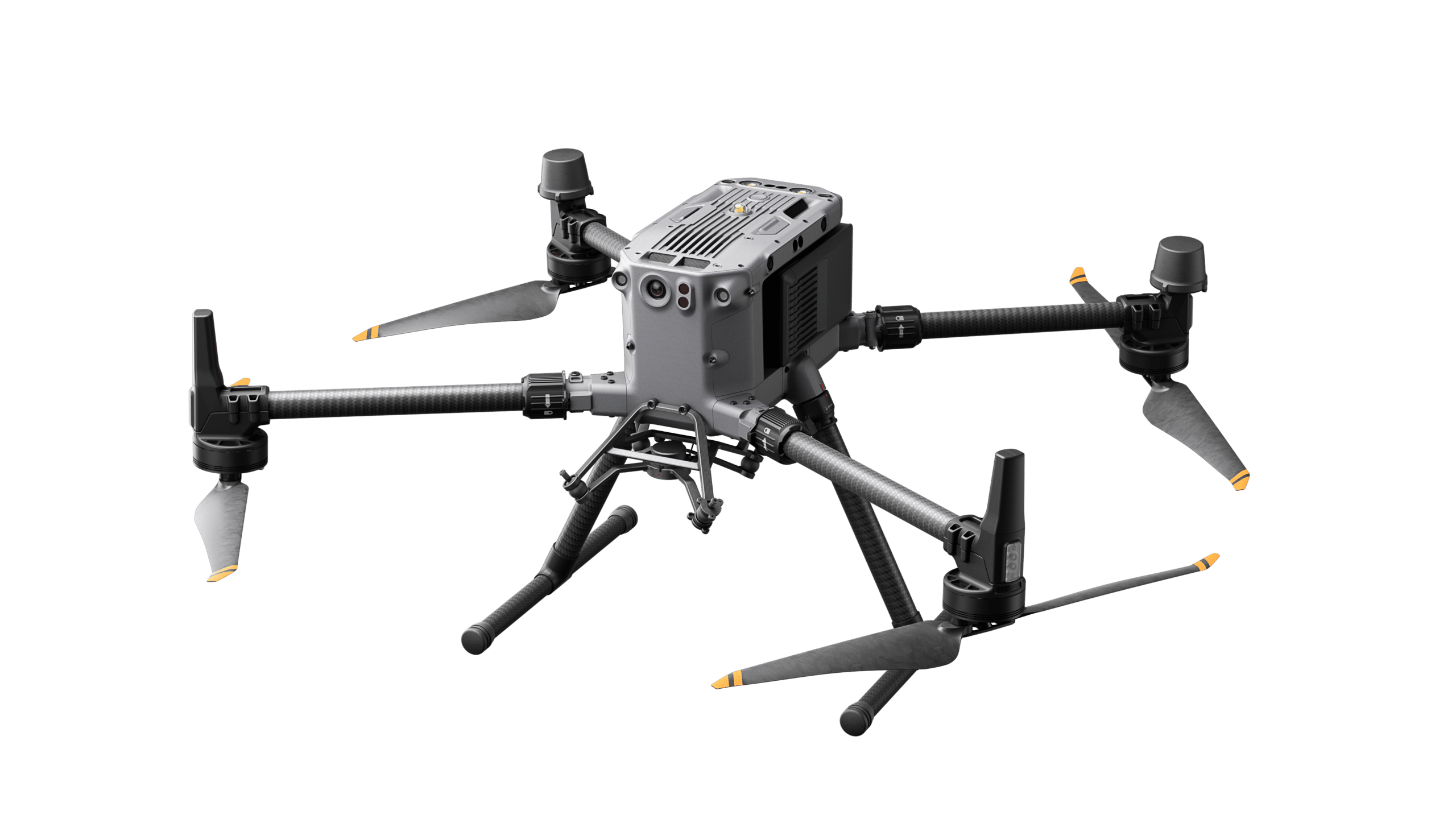
In May 2025, large areas of grassland were flown over in Blieskastel, Saarland. Our DJI Matrice 350 RTK in combination with the Zenmuse P1 camera - a powerful setup for high-resolution geodata and precise image capture.
The image data collected forms the basis for AI-based species recognition. In future, this should make it possible to automatically identify plant species that are relevant for funding - a key component for simplifying the Eco-Regulation 5.
Drone + manual mapping = strong database
In order to train the AI optimally, the drone flight was supplemented by manual on-site mapping with the support of the Saarland Farmers' Association. This creates a particularly robust data basis that can be used to further develop and optimize the software.
Fraunhofer IGD is responsible for analyzing the flight data.
Advantages at a glance
Time saving & efficiency: Large areas can be covered automatically and quickly
Future-proof: digital processes make it easier for farmers to provide evidence for support measures
Precision through combination: drone + manual mapping create the highest data quality
Partnership-based & practical: project in close cooperation with farmers & experts
Outlook
Our aim is to bring this technology to market maturity and offer it as a service.