


Choosing the right drone is crucial
Anyone inspecting buildings with drones expects reliable data, maximum safety and efficient processes - regardless of whether it's a bridge, a high-rise building or an industrial plant. However, not every drone is suitable for every application scenario. Depending on the object, environment and objective of the inspection, the range, camera quality, sensor technology or flight behavior must be exactly right.
After all, choosing the right drone is crucial to the quality of the inspection results. A system that is too large can be impractical, while one that is too small may provide insufficient data. This makes it all the more important to know the strengths and special features of individual models - as well as the right accessories and intelligent software solutions.
In this article, we show which drone is suitable for which application, which technical features play a role - and what else is important for successfully flying over buildings.
Requirements for drones for building inspections
- High camera resolution
- Zoom function / thermal image / LiDAR if necessary
- Stability in flight (even in windy conditions)
- RTK for precise positioning
- Compatibility with data analysis software
DJI drone recommendations for flying over buildings

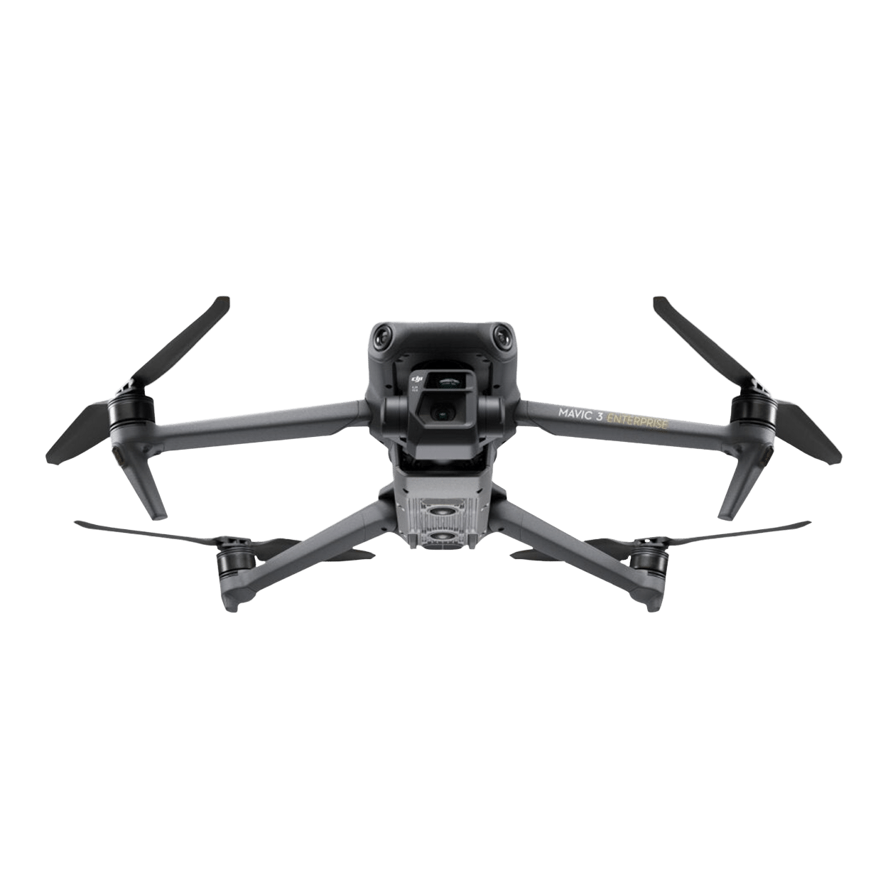
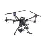
DJI Matrice 30T
With thermal imaging and hybrid zoom, weatherproof - for medium to large objects
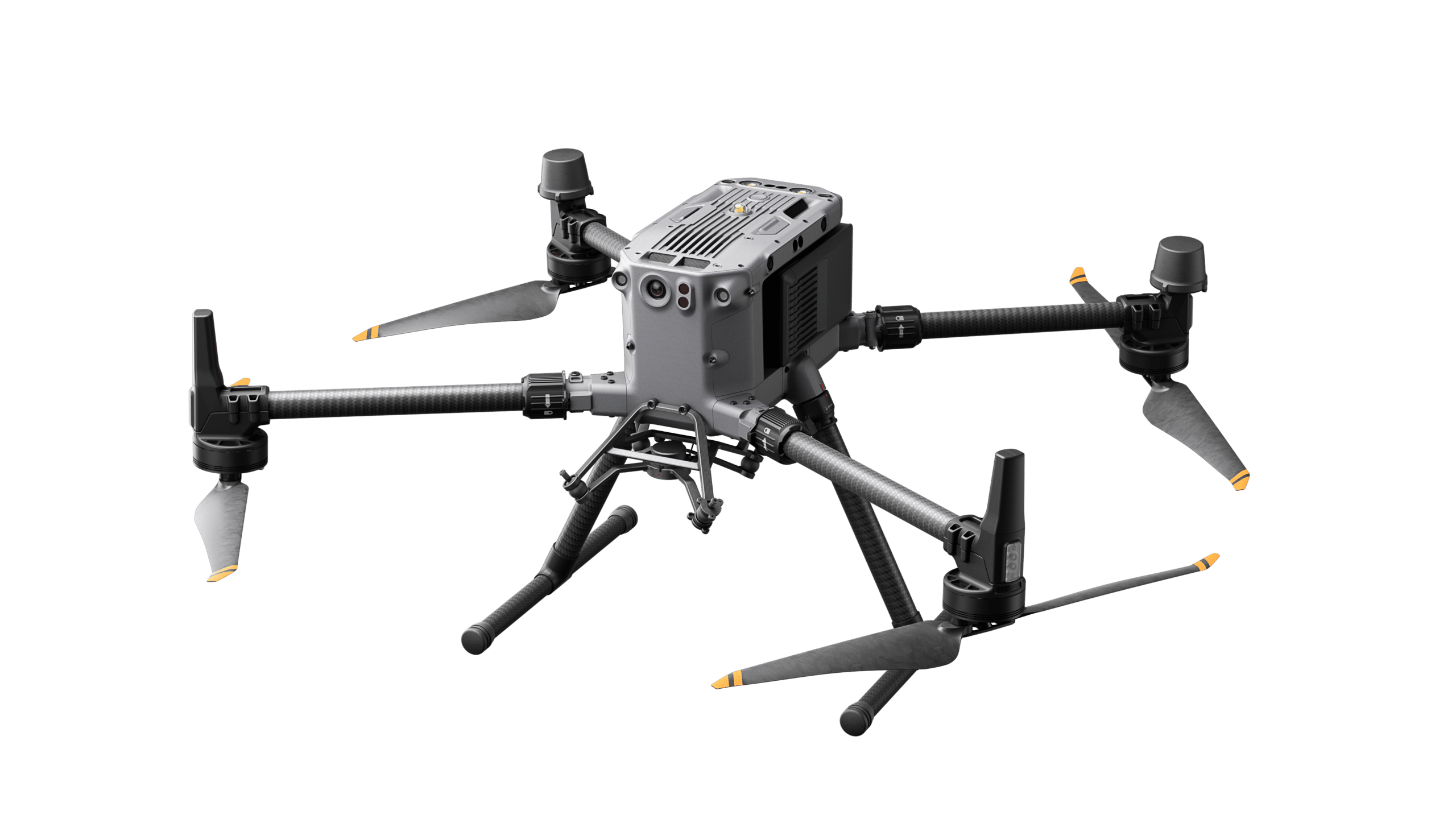
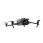
DJI Matrice 350 RTK
Maximum flexibility, multi-sensor payloads - for complex inspections
Which drone for which application scenario?
Use case
Bridge flight
(under bridge, GPS shadow)
Façade & high-rise building
inspection
Industrial plants &
Pipelines
Wind turbines
(rotor blades, height)
Radio masts & antenna structures
Recurring inspections / time series
Thermal analysis of buildings
Detailed 3D measurement
(e.g. BIM)
Special features
RTK, visual position stabilization, interchangeable payloads
Compact, zoom camera, high detail resolution
Compact, weatherproof (IP55), integrated zoom & thermal imaging camera
Stable in wind, long range, precise RTK positioning
Compact, ideal for precise approach, 56x hybrid zoom
Automated flights, weatherproof, ideal for regular data sets
Thermal imaging camera + 48 MP wide-angle camera
LiDAR for precise point clouds and models
Additional accessories and software
The drone alone does not make a professional building inspection - the right accessories and intelligent software solutions are crucial to get the maximum performance and data quality out of every mission.
RTK modules for precise positioning
The use of RTK (Real Time Kinematic) modules is recommended for precise data - especially for recurring inspections or 3D surveys. These enable centimetre-precise positioning and improve flight stability even in the event of GPS interference (e.g. on bridges or in courtyards). The RTK system is already integrated in the DJI Matrice 350 RTK. The Mavic 3 Enterprise series also offers optional RTK functionality.
Intelligent data evaluation with DJI Terra
Simply capturing data is only the first step. The DJI Terra software is used for the analysis, evaluation and 3D modeling of the collected image and sensor data. It enables:
- 2D and 3D reconstructions of buildings
- the measurement of cracks or structures directly in the model
- automated comparisons for recurring aerial surveys (time series)
- the AI-supported detection of deviations or damage.
Transport case & battery management
Robust transport solutions are particularly important for missions in different locations:
- Shockproof cases reliably protect drones and payloads from impacts and moisture
- Spare batteries are also a must - especially for longer missions or several missions a day.
View accessories and batteries directly in the Droniq Store!
Droniq advises you individually
The right drone depends on the project! Not sure which drone is right for your application? Contact us for a personal consultation!