


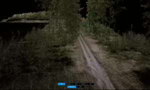
Our colleague Alexander Wulf has successfully carried out a survey flight on behalf of an engineering firm to create a digital terrain model for the planning of new wind turbines. An exciting project that is of particular interest to civil engineers, surveying offices, urban planners and civil engineering experts:
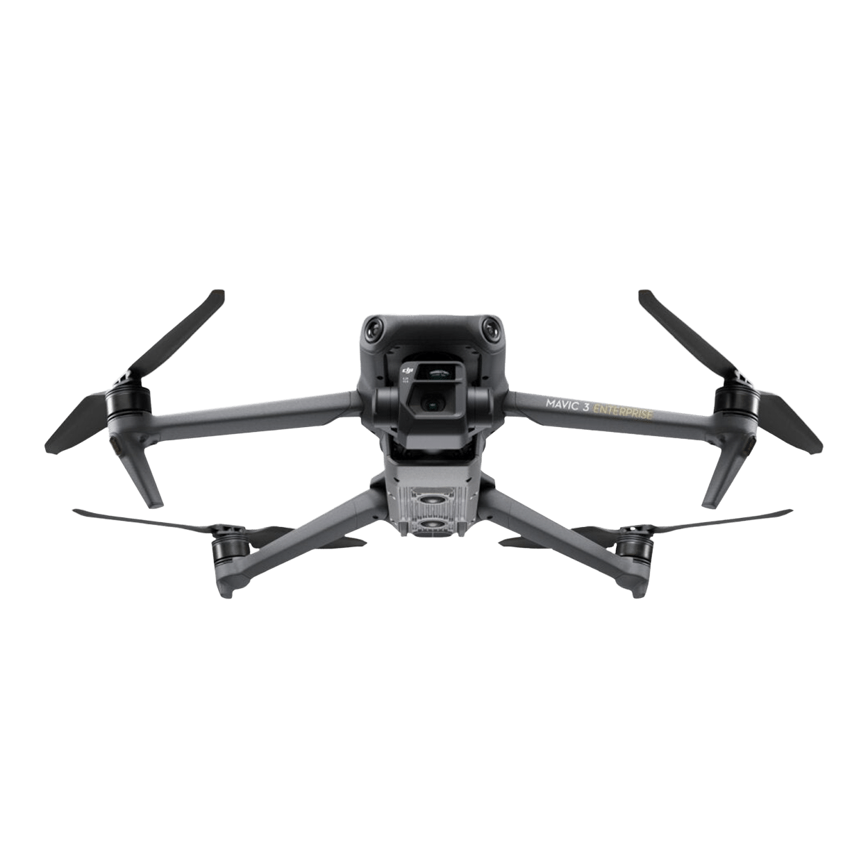
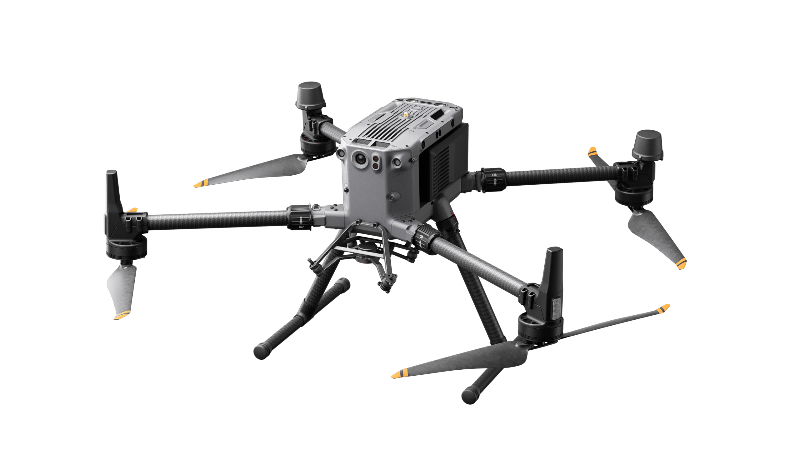
Use of the latest technology: DJI Zenmuse L2 & Matriace 350 RTK
- Supports 5 returns, ideal for densely overgrown areas with high soil point density.
- Immediately ready for use and efficient in data capture.
- Captures both geodata and RGB data for precise analysis.
Flight time and project scope:
The drone's impressive performance enabled a flight time of just 12 minutes for a 7 km stretch of road and only 10 minutes for an area of 1.5 hectares!
This project illustrates the efficiency, precision and versatility of drones in the field of surveying and digital terrain modeling. We have captured this in a video!