- Academy
- Drones
- Drones
- Show all
- New
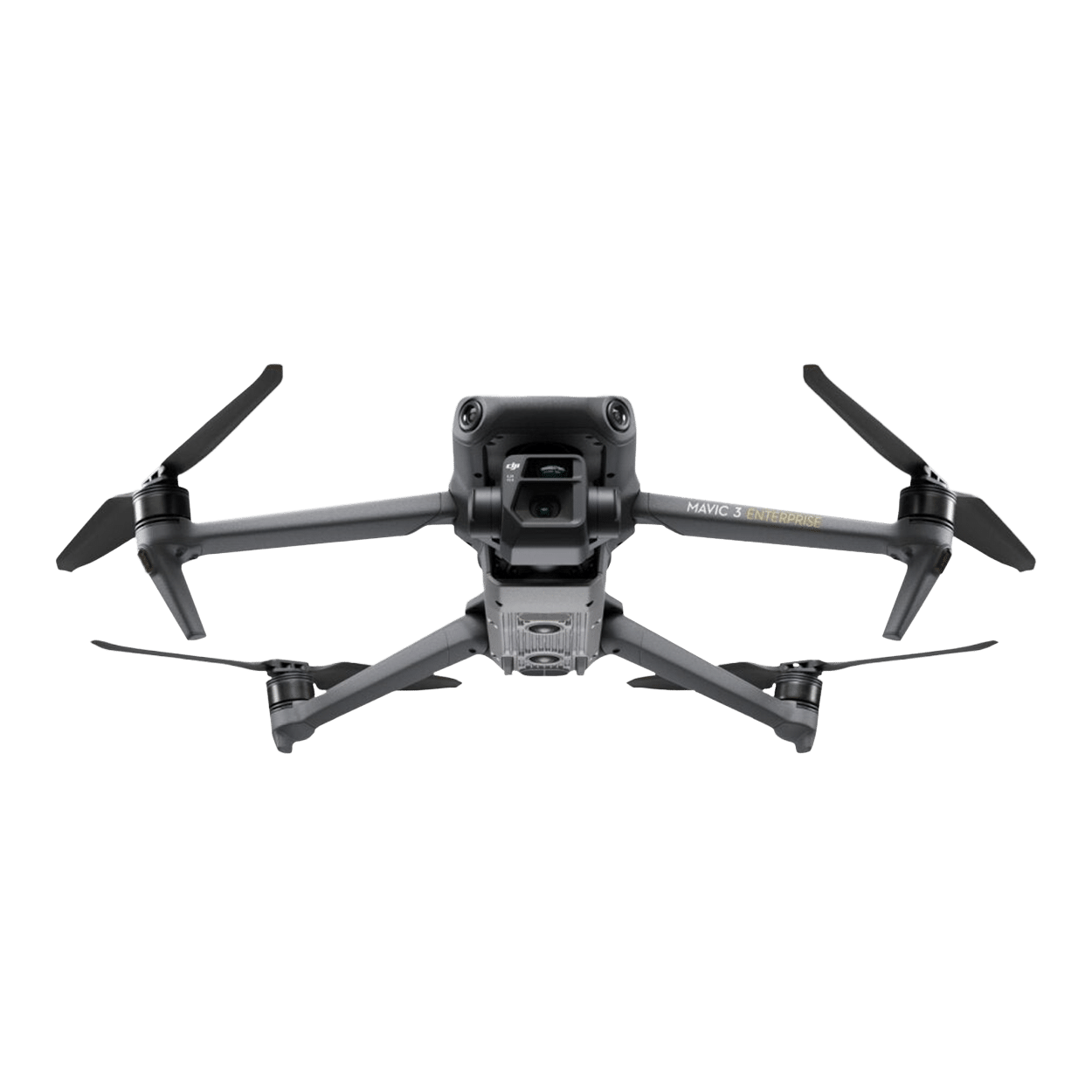
 DJI Mavic 3 Enterprise (C1 version)
 - DJI Mavic 3 Enterprise
- DJI Mavic 3 Thermal
- DJI Mavic 3 Multispectral
- New DJI Matrice 4D Standalone
- New DJI Matrice 4TD Standalone
- New DJI Matrice 4D
- New DJI Matrice 4TD
- DJI Matrice 3D
- DJI Matrice 3TD Thermal
- New DJI Matrice 4E
- New DJI Matrice 4T
- DJI Matrice M30T
- Outlet DJI Matrice M30
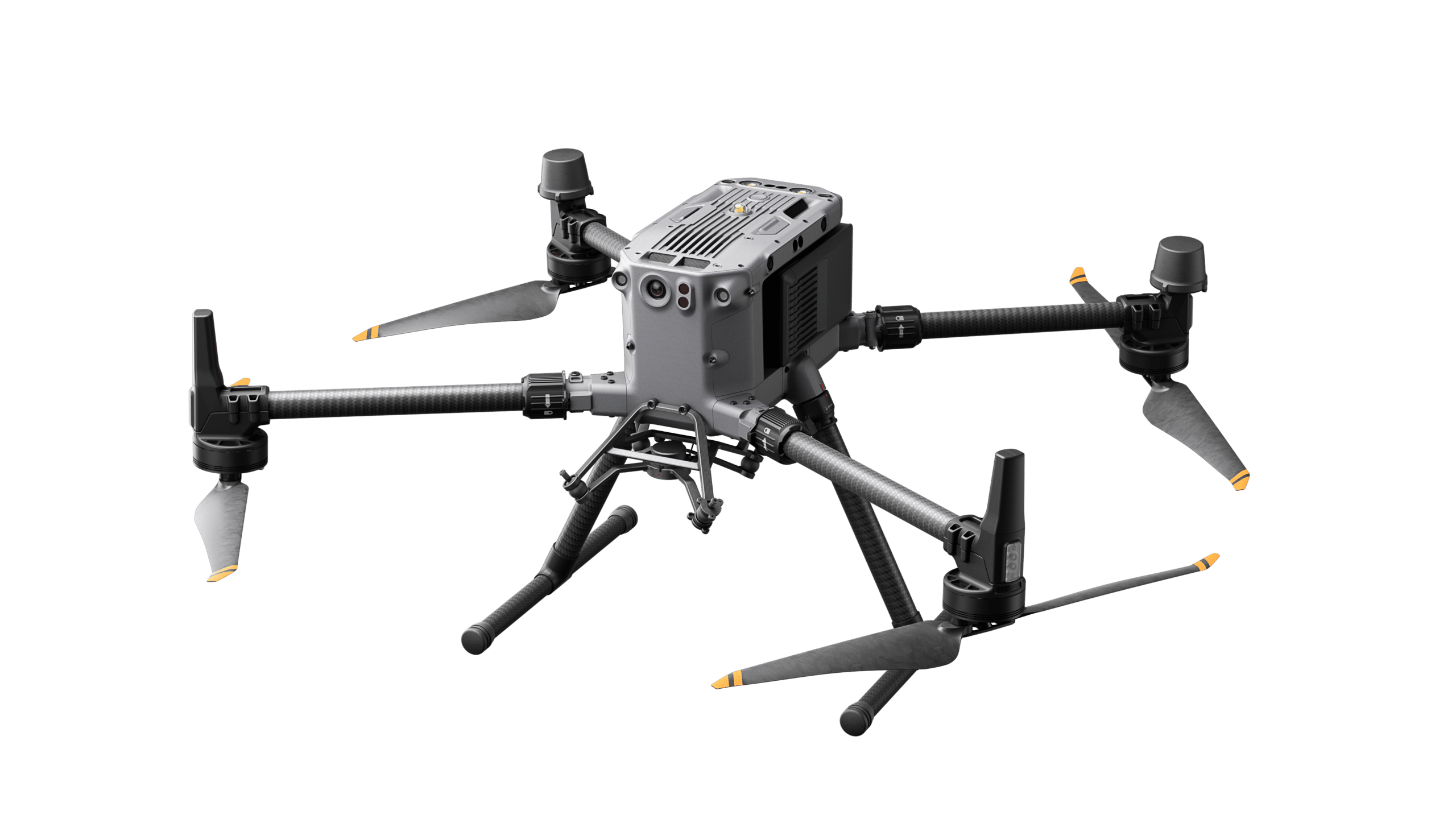
- DJI Matrice M350 RTK
- New DJI Matrice M400
- DJI FlyCart 30 transport drone
- Hanseatic X825Mk.II
- Hanseatic S360Mk.II
- Germandrones Songbird
- Drone accessories
- Show all
- New DJI Zenmuse S1 spotlight
- New DJI Zenmuse V1 Speaker
- Feelworld 21.5" outdoor monitor set
- Feelworld 21.5" monitor case set
- New DJI Mobile Dongle 1 - incl. connectivity
- New DJI Mobile Dongle 2 - incl. connectivity
- TOMcase transport case "Ready to Charge" for DJI Matrice 3D series
- TOMcase transport case "Ready to Fly/Charge" for DJI Matrice 4
- TB65 Intelligent Flight Battery (battery for DJI Matrice 300+350 Series)
- TB30 Intelligent Flight Battery (battery for DJI Matrice 30 Series)
- WB37 Battery
- Battery set (incl. charging station for DJI Mavic 3 Enterprise series)
- BS65 Battery Station (charging station for DJI Matrice 350 RTK)
- BLUETTI AC60P Powerstation
- BLUETTI AC240P Powerstation
- ValoFly TGS microTether
- Drone-in-a-Box System
- Drones
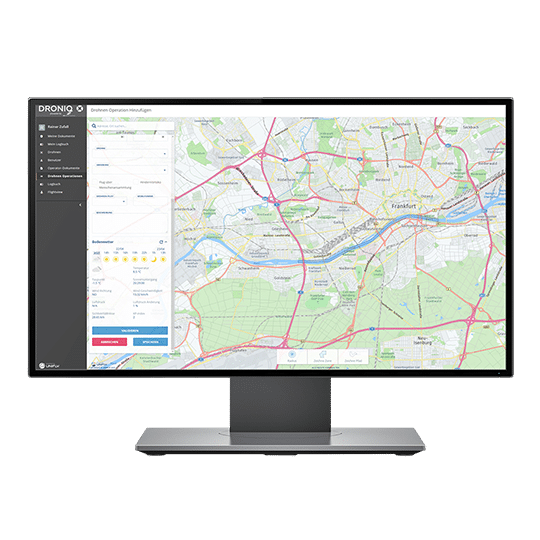
- Software & Apps
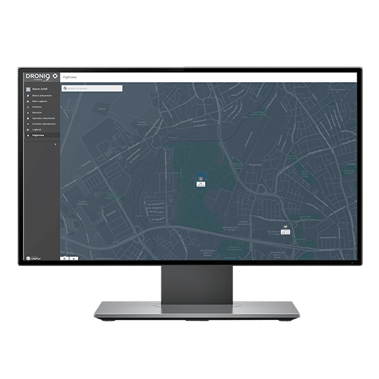
- Tracking & sensors
- Services
- About
- Customer Stories
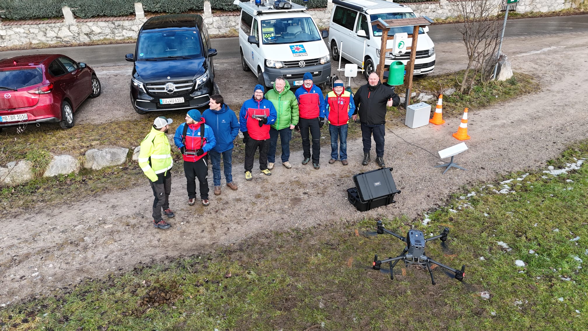
- Mountain rescue Hausham
- Altena fire department
- Civil protection of the city of Leonberg
- Ice Wolf 2025
- Kiel Fire Department
- Waldsassen Monastery Church
- Telekom Security
- Frankfurt am Main Transport Company (VGF)
- Röhm plant fire department
- ABGnova
- DFMG Deutsche Funkturm
- Evonik
- FlyNex / MITNETZ STROM
- LARUS
- Thyssengas
- Wingcopter
-
- Funding projects
- Product development
- Customer Stories


- Academy
- Drones
- Drones
- Show all
- New DJI Mavic 3 Enterprise (C1 version)
- DJI Mavic 3 Enterprise
- DJI Mavic 3 Thermal
- DJI Mavic 3 Multispectral
- New DJI Matrice 4D Standalone
- New DJI Matrice 4TD Standalone
- New DJI Matrice 4D
- New DJI Matrice 4TD
- DJI Matrice 3D
- DJI Matrice 3TD Thermal
- New DJI Matrice 4E
- New DJI Matrice 4T
- DJI Matrice M30T
- Outlet DJI Matrice M30
- DJI Matrice M350 RTK
- New DJI Matrice M400
- DJI FlyCart 30 transport drone
- Hanseatic X825Mk.II
- Hanseatic S360Mk.II
- Germandrones Songbird
- Drone accessories
- Show all
- New DJI Zenmuse S1 spotlight
- New DJI Zenmuse V1 Speaker
- Feelworld 21.5" outdoor monitor set
- Feelworld 21.5" monitor case set
- New DJI Mobile Dongle 1 - incl. connectivity
- New DJI Mobile Dongle 2 - incl. connectivity
- TOMcase transport case "Ready to Charge" for DJI Matrice 3D series
- TOMcase transport case "Ready to Fly/Charge" for DJI Matrice 4
- TB65 Intelligent Flight Battery (battery for DJI Matrice 300+350 Series)
- TB30 Intelligent Flight Battery (battery for DJI Matrice 30 Series)
- WB37 Battery
- Battery set (incl. charging station for DJI Mavic 3 Enterprise series)
- BS65 Battery Station (charging station for DJI Matrice 350 RTK)
- BLUETTI AC60P Powerstation
- BLUETTI AC240P Powerstation
- ValoFly TGS microTether
- Drone-in-a-Box System
- Drones
- Software & Apps
- Tracking & sensors
- Services
- About
- Customer Stories
- Mountain rescue Hausham
- Altena fire department
- Civil protection of the city of Leonberg
- Ice Wolf 2025
- Kiel Fire Department
- Waldsassen Monastery Church
- Telekom Security
- Frankfurt am Main Transport Company (VGF)
- Röhm plant fire department
- ABGnova
- DFMG Deutsche Funkturm
- Evonik
- FlyNex / MITNETZ STROM
- LARUS
- Thyssengas
- Wingcopter
-
- Funding projects
- Product development
- Customer Stories
Language