








































Hello dear Droniq app users,
We would like to inform all users of the Droniq app that it will be switched off in the coming week. In a few weeks, all stored data from the previous Droniq app, including user profiles, will be completely deleted. The data will not be migrated.
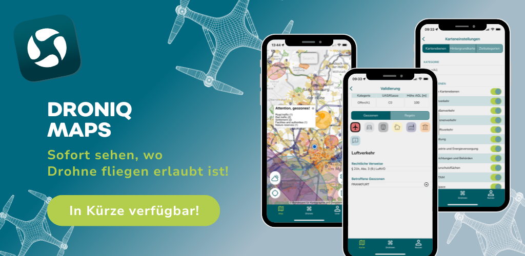
Don't worry! We already have a solution for you. To continue to know where you are allowed to fly your drone as a drone pilot, we recommend that you use our new free drone app Droniq Maps, which is expected to be available in the App Store and Google Play Store from 17.09.2024.
Droniq Maps offers you:
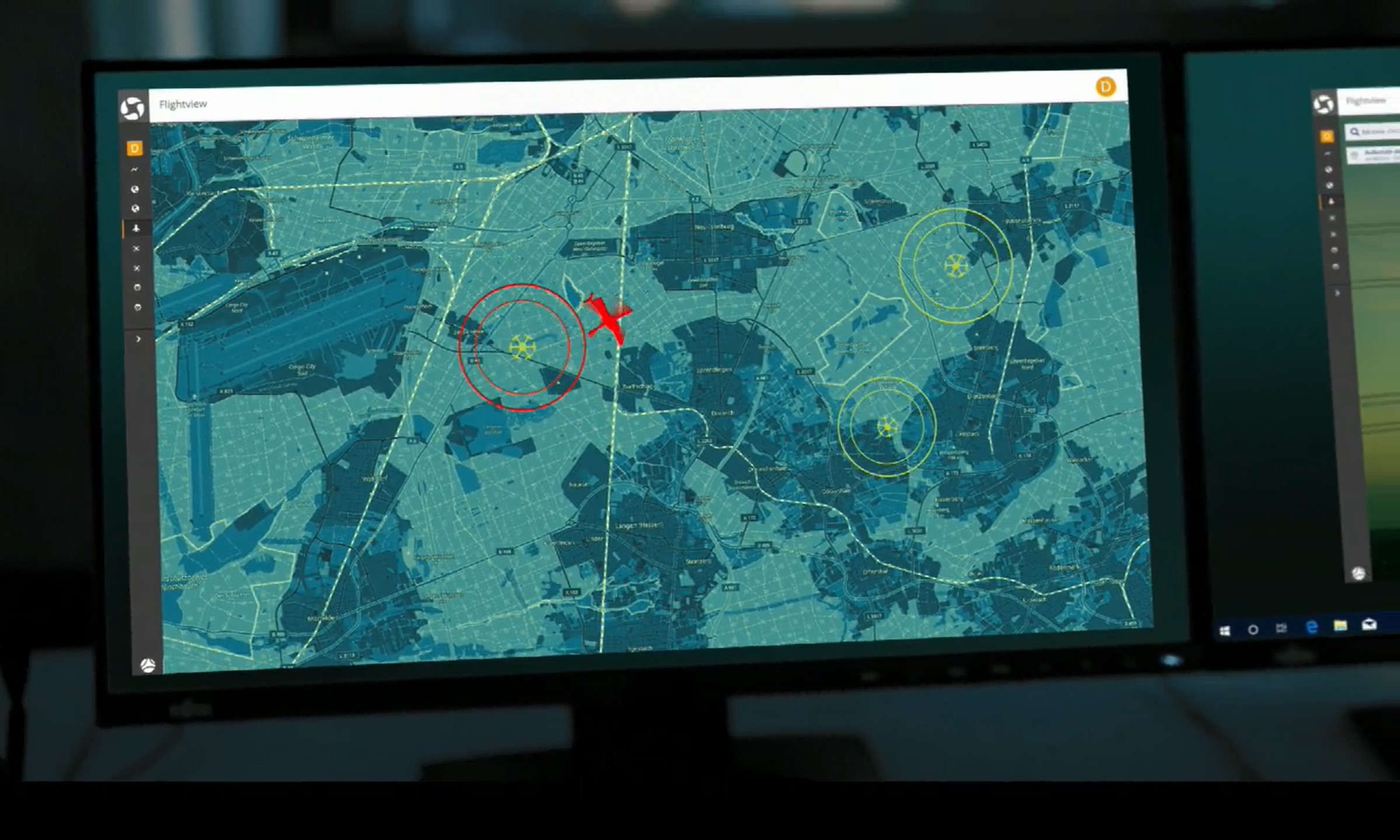
- Improved map display: Find out quickly where you can fly safely.
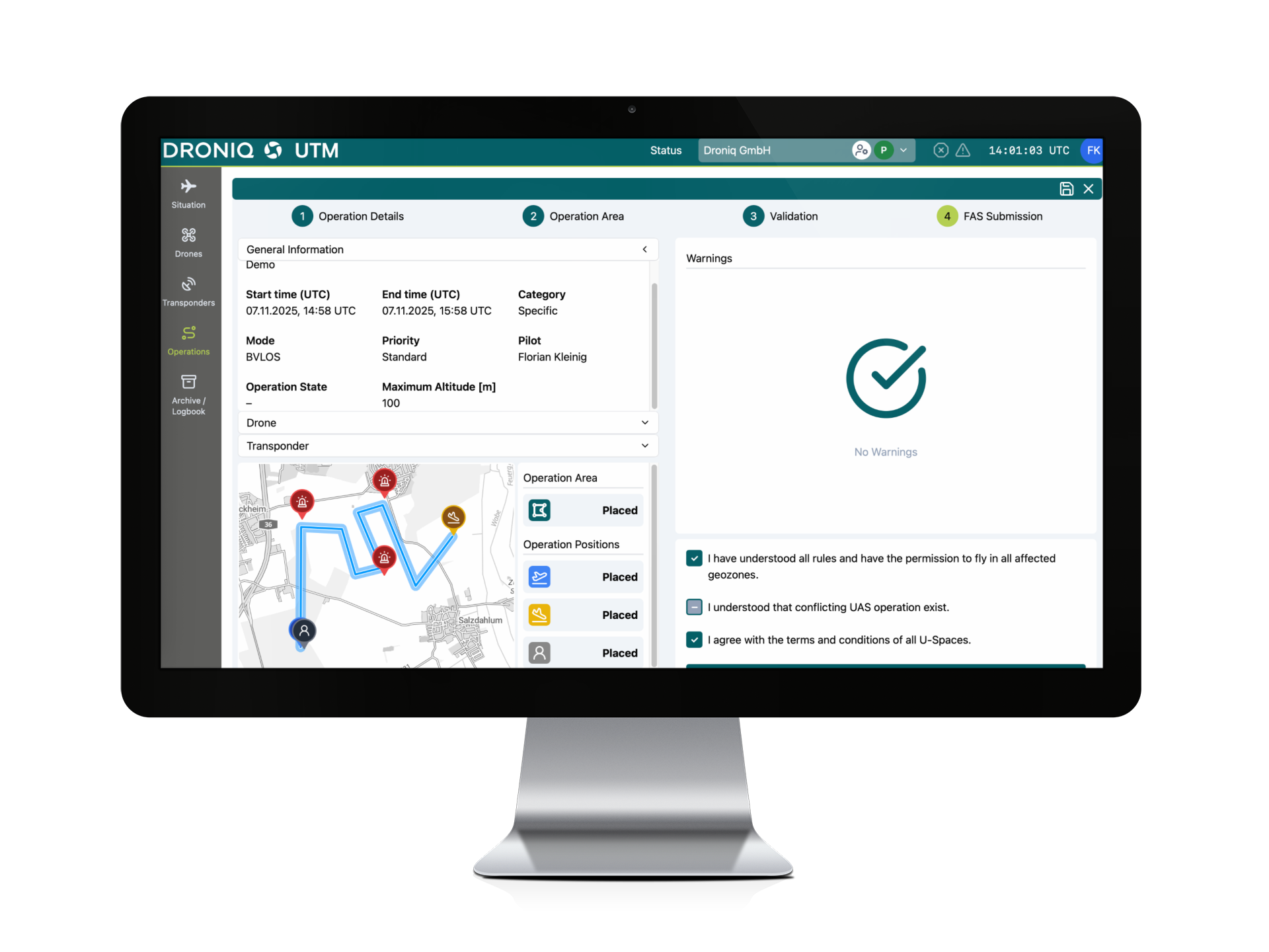
- Easier validation: check in seconds whether your flight complies with the regulations.
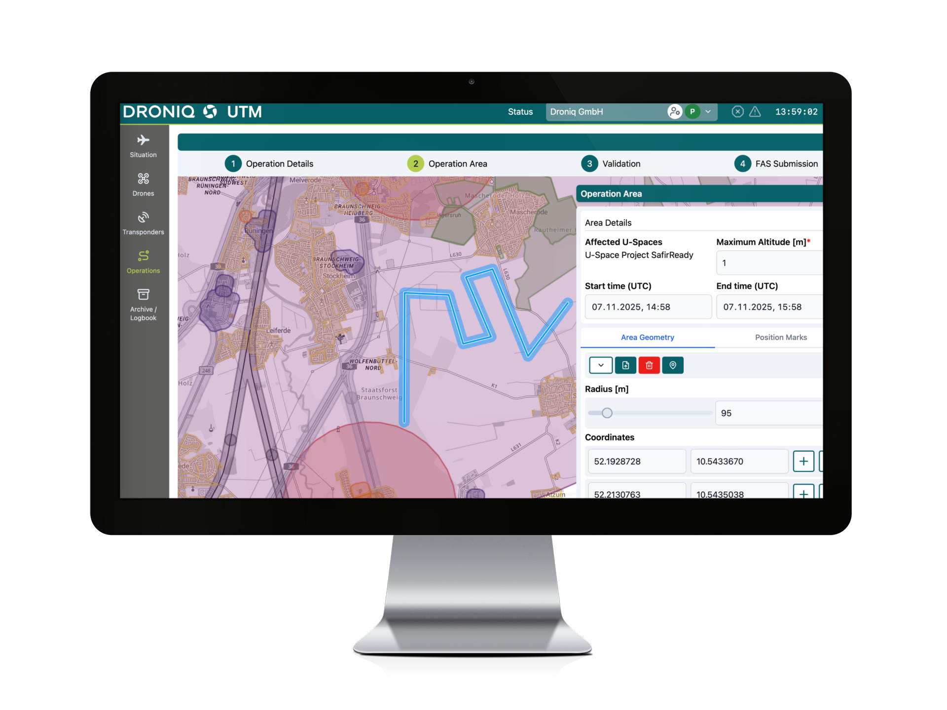
- New drawing tool: Plan your routes precisely and easily.
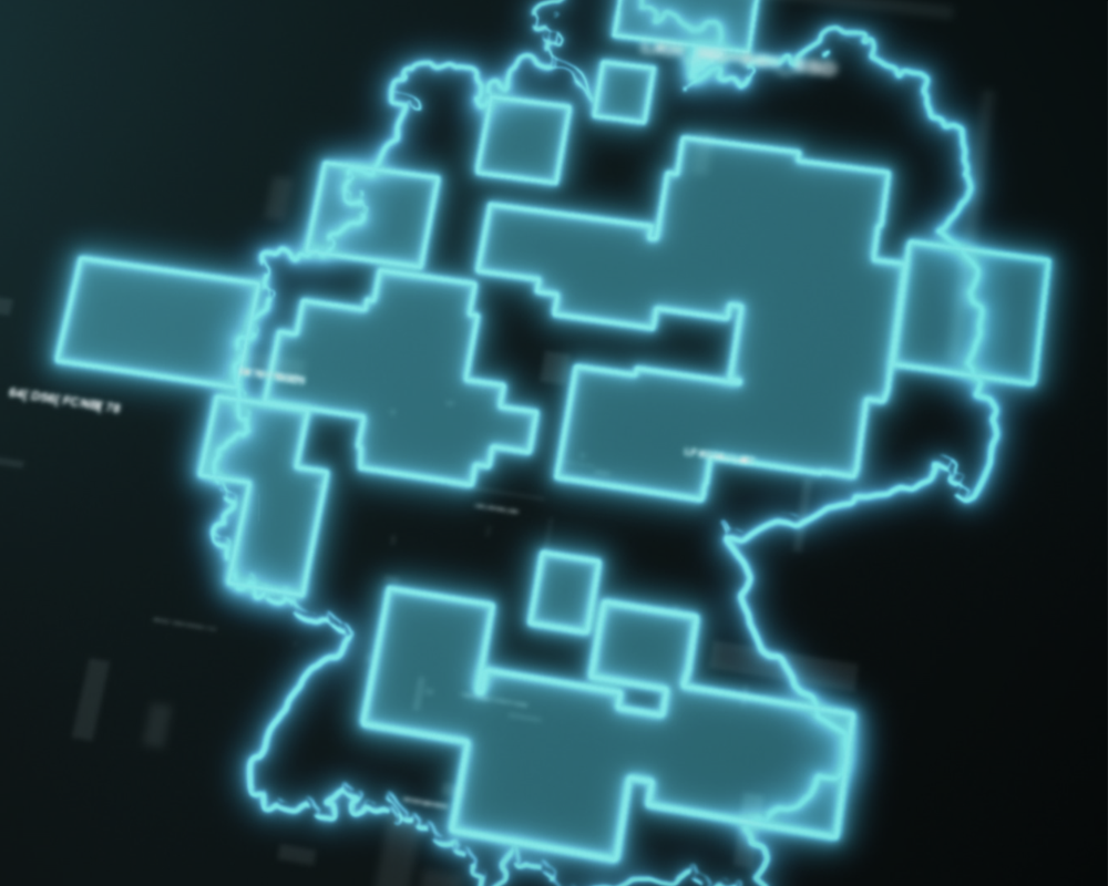
- More detailed geo-zones: Get comprehensive information on restricted and restricted areas.
Note: A user account is not required to use Droniq Maps. However, we recommend that UAS operators create an account.
If you have any questions, please do not hesitate to contact us via our contact form or at feedback@droniq.de.
Best regards from the Droniq team