Whether power lines, railroad lines, pipelines or telecommunication lines - linear infrastructures require regular and precise inspections. Drones offer a flexible and efficient solution to minimize maintenance costs and reduce safety risks. But which drone is suitable for which application?
In this article, we will show you what is important when making a selection - and present our top systems for route inspections.
What is important for route inspections?
The requirements for a professional route inspection by drone are high. Depending on the type of route and objective, the following criteria should play a role in the selection process:
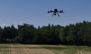
Flight time & range Routes are often kilometers long. A long flight time and BVLOS (Beyond Visual Line of Sight) capability are essential for many missions.
Sensors High-quality sensors provide the basis for meaningful analyses. RGB cameras, zoom lenses, thermal imaging sensors or LiDAR can be useful depending on the application.
RTK support RTK (Real Time Kinematic) is an important component for precise mapping and automated route planning - especially for repeatable flights.
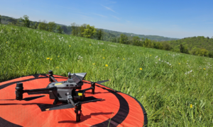
Weatherproof & robust As many flights take place in open terrain, robust systems with protection against wind, rain and heat are an advantage.
DJI drone recommendations for route flying
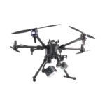
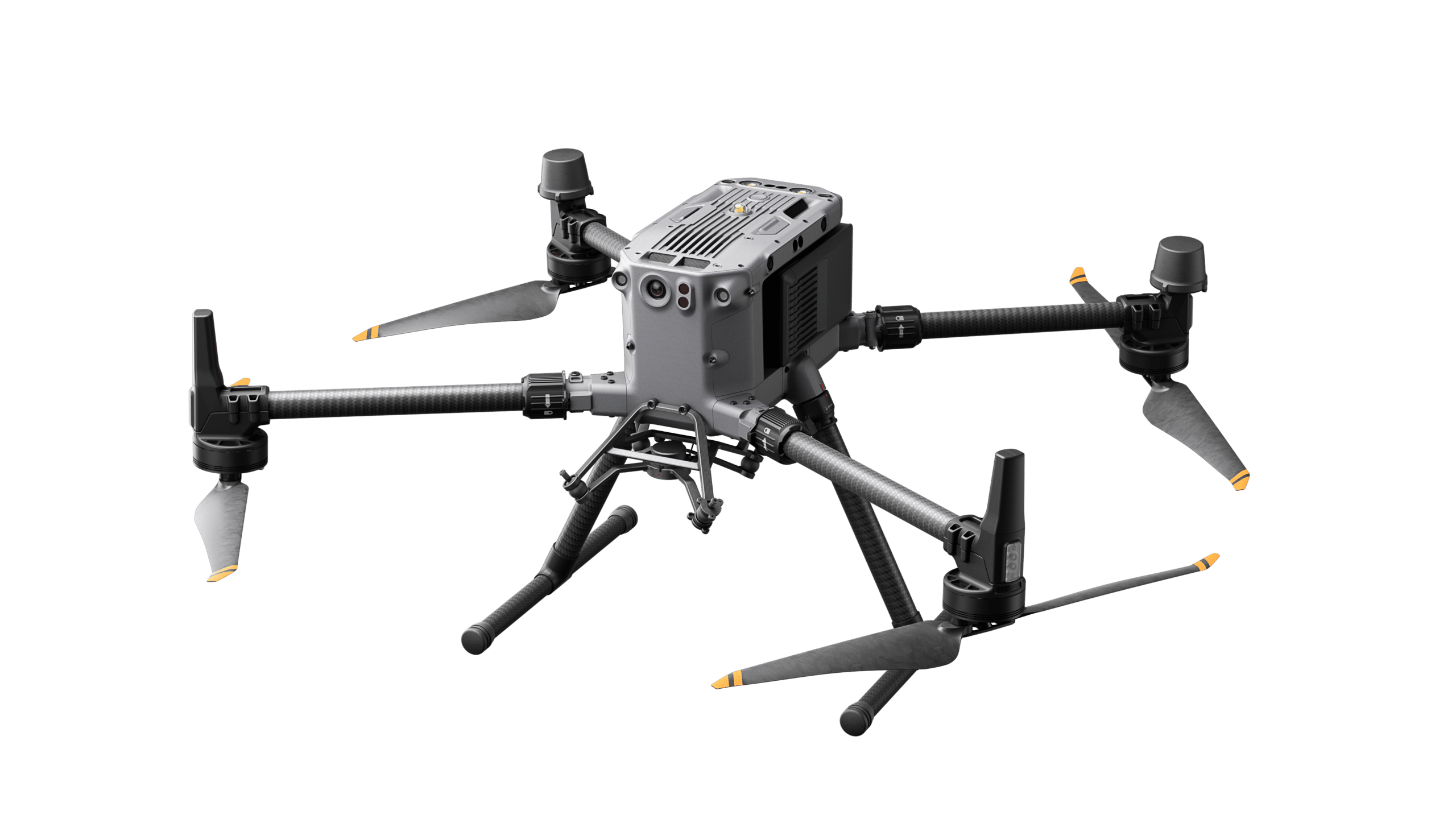
DJI Matrice 30T
The Matrice 30T is a compact, weatherproof drone with an integrated thermal imaging and zoom camera - perfect for versatile inspections along standard routes. It impresses with its high flight characteristics and simple operation.
For the highest requirements, we recommend the combination of DJI M350 RTK and the powerful H20T camera. It offers RGB, thermal imaging, zoom and laser measurement in one module - ideal for precise condition assessments.
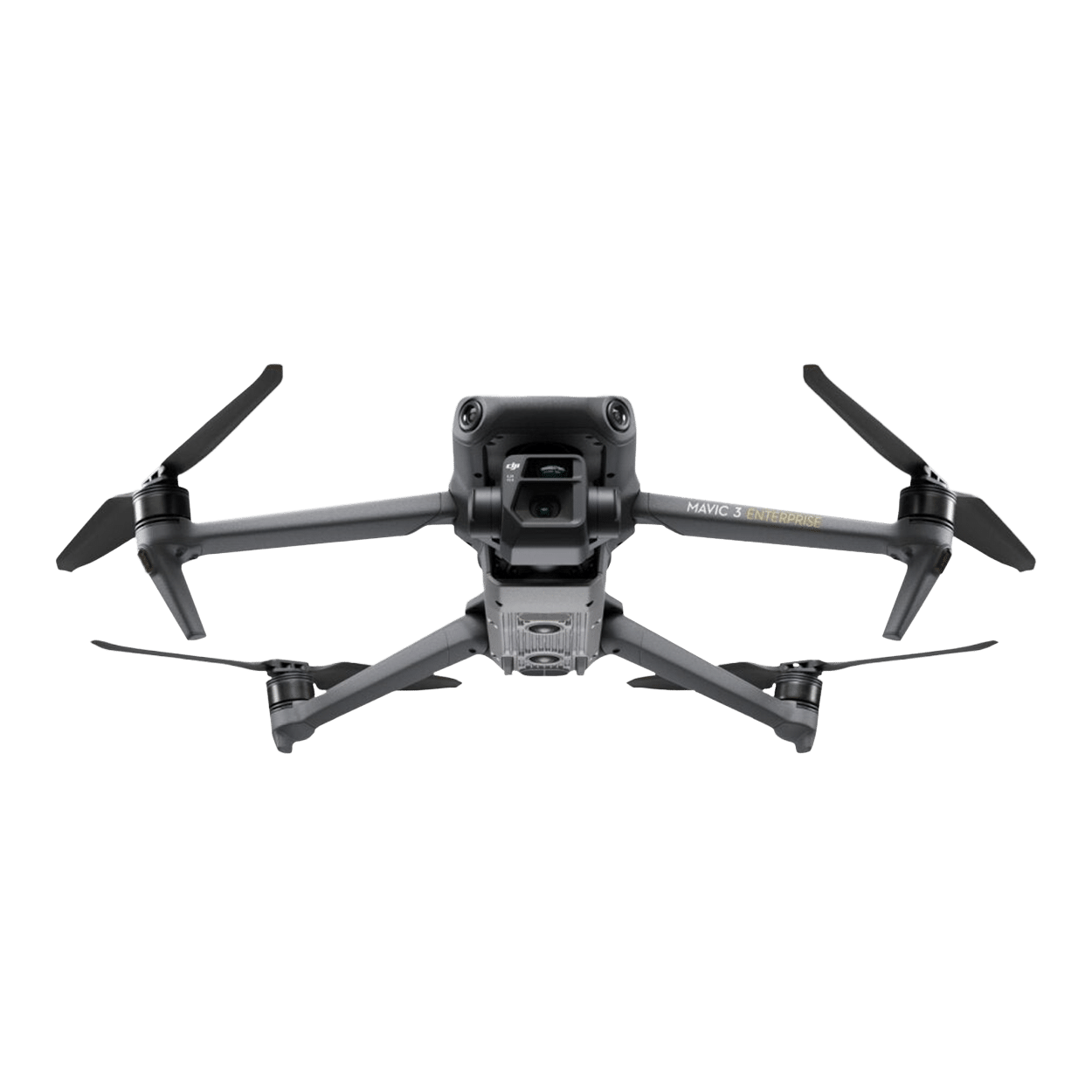
When it comes to automated, continuous monitoring, the DJI Dock in combination with a suitable Mavic Enterprise drone is the first choice. Whether M3D for surveying or M3T for thermal analysis - the system is always ready for use and can be controlled remotely.
The drone alone does not make a professional route inspection - the right drone accessories and intelligent software solutions are crucial to get the maximum performance out of every deployment.
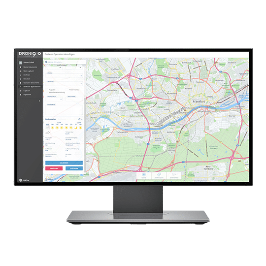
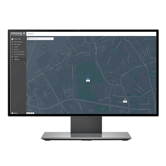
DJI FlightHub 2 For an overview in real time - ideal for mission planning, fleet control and evaluation of live data.
DJI Terra Powerful software for 3D mapping, surveying and data processing - perfect for post-processing.
Batteries, cases & charging accessories The right equipment is crucial for stable operational readiness in the field.
Conclusion: The right solution for your route
Drones make route inspections faster, safer and more economical. However, the requirements for flight time, sensors and automation vary depending on the intended use. Whether compact all-rounder, high-end inspection system or fully automated dock solution: at Droniq you will find the right system - including advice, instruction, operating concept and maintenance.
With our new offer, you can obtain your A2 remote pilot certificate faster and more flexibly than ever before: preparation and examination are completely online - including e-learning and AI-supported supervision. No travel, no waiting times, no face-to-face appointments. Perfectly tailored to your schedule.
Start now and secure the introductory price of EUR 49 instead of EUR 95 - only until July 31, 2025.