


Integration of the Droniq air situation data service in command and control support software
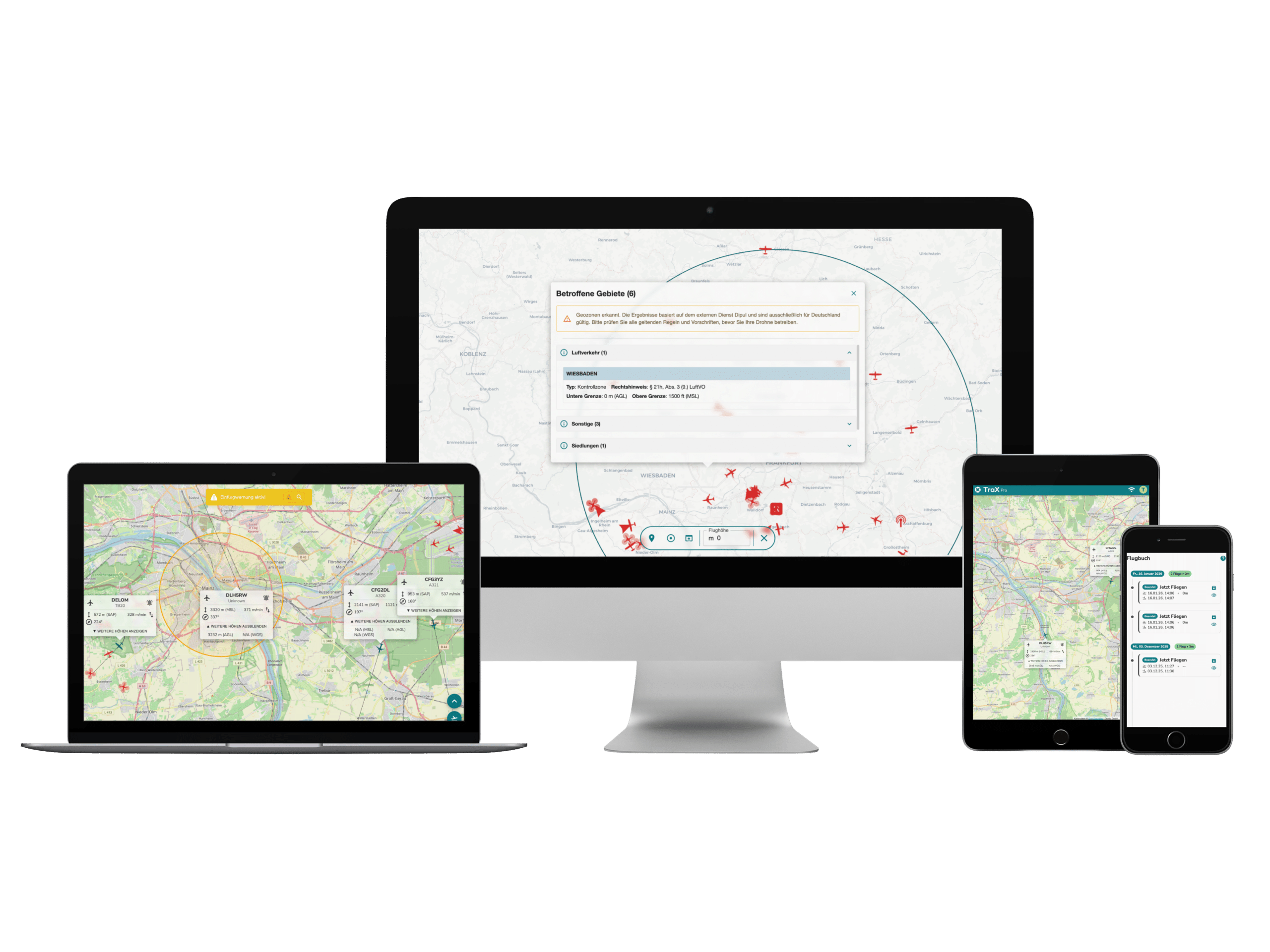
With the new Droniq air situation data interface in CommandX the airspace is now also available to commanders and task forces in real time. The integration makes it possible to display air movements directly in the command support software from EuroCommand - for a better overview, safety and coordination on the ground and in the air.
More overview in dynamic operational situations
Whether it's a rescue helicopter approaching, emergency drones in the air or other aircraft in the vicinity - there is often more going on in the air than is visible on the ground.
It is crucial to include airspace in the assessment of the situation, particularly in the case of parallel operations or complex situations.
By integrating the Droniq air situation data service into the CommandX command support software, command units and staff now receive an up-to-date air situation picture directly in their familiar system - without additional operating effort or external tools.
How the integration in CommandX works
The Droniq air situation data service is connected to CommandX via CIMgate.Connect. A specially developed Droniq agent ensures the automatic transmission of real-time data from the airspace - without any manual intervention.
CommandX displays all detected flying objects within a predefined radius, including:
Identification of the aircraft
Position (latitude and longitude)
Flight altitude (AGL / MSL)
Movement data such as speed and rate of climb or descent
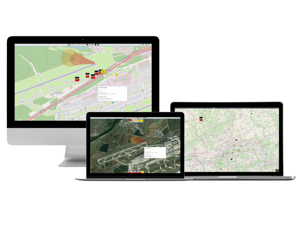
The information is displayed as a separate layer on the situation map and can be shown or hidden as required for a focused, situation-specific picture of the situation.
More security, better decisions
The Droniq integration provides command and control support systems with an additional situational element that supports decision-making in real time.
- More overview through the display of relevant air movements
- Greater safety by avoiding airspace conflicts
- More efficient coordination between ground and air forces
This allows task forces and command units to direct their forces in an even more targeted manner - regardless of whether drones, helicopters or other aircraft are involved
About CommandX
The CommandX software from Eurocommand GmbH is a command support software specially developed for digital situation management and operational coordination. It makes it possible to access all relevant information in real time, integrate data from different sources and reliably assess the overall situation.
With the integration of the Droniq air situation data service, CommandX is expanding its range of functions to include a key situation element - airspace as part of the overall situation picture.
Conclusion: air situation meets operational situation
The new Droniq integration in CommandX brings together what belongs together in operations: for the first time, ground and air situation are mapped in a central command support software - for a complete, data-supported situation picture.