


New Droniq interface for maximum overview in use
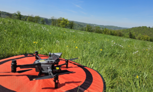
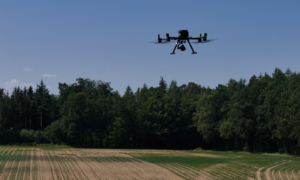
Today, incident command not only has to keep an eye on what is happening on the ground, but increasingly also on the airspace. Whether rescue helicopters are approaching or our own drones are in action - knowledge of current air movements is crucial for safe and efficient operations management.
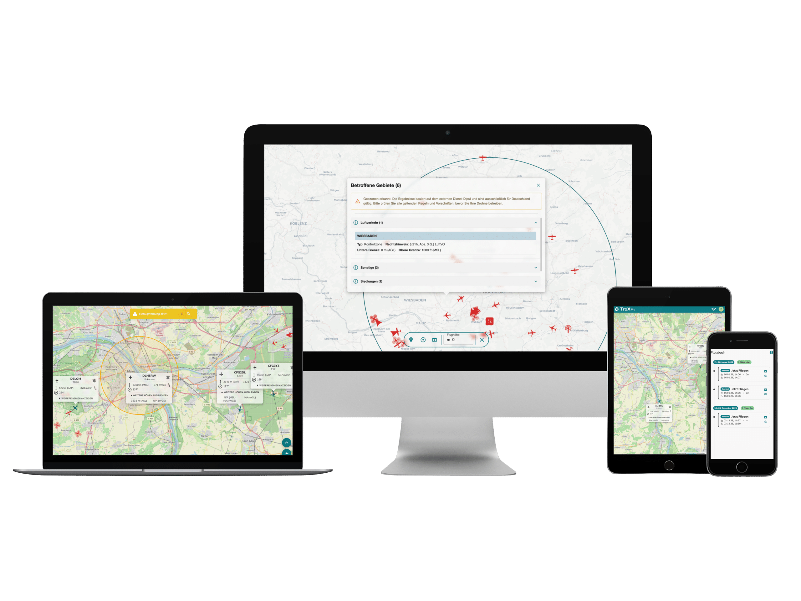
With the new Droniq interface in edp:map the air situation picture is now integrated directly into the Eifert Systems GmbH mission control software - making airspace monitoring easier and more reliable than ever before.

Real-time air situation directly on the map
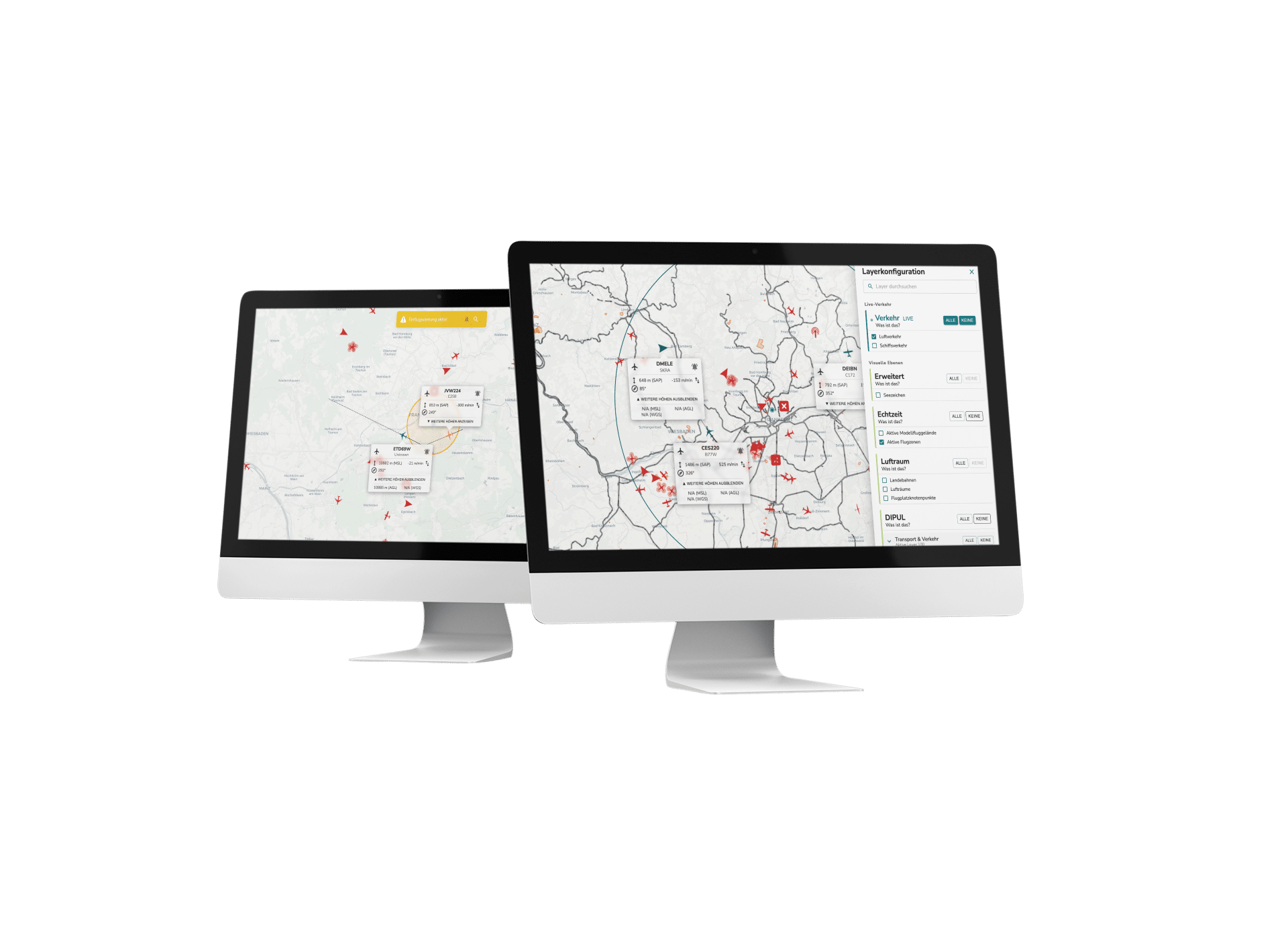
Through the integration of the Droniq aerial image into the GIS tool edp:map tool, incident commanders can now see all relevant air movements on the map in real time.
Whether rescue helicopters, BOS drones or other aircraft - the aerial image is automatically superimposed and provides a comprehensive overview of the operational area.
This new function makes it possible to make decisions faster and more reliably - based on up-to-date, data-supported information.
Targeted filtering for relevant information
The displayed airspace can be narrowed down using parameters such as flight altitude or resources. As a result, incident commanders can see exactly what is relevant for their mission.
This ensures:
- Maximum overview thanks to data-supported situation assessment
- Maximum safety for emergency services on the ground and in the air
- Efficient coordination of air and ground operations
Integration offers decisive advantages, particularly in the event of major emergencies, disaster control measures or parallel air operations - conflicts in the airspace can be identified and avoided at an early stage.
Maximum safety through transparency in the airspace
The Droniq interface in edp:map brings the aerial situation picture to where it is needed: directly into the mission control software. This means that incident commanders not only see what is happening on the ground, but also what is happening above them - and can make informed decisions.
A real step towards greater safety, clarity and efficiency in day-to-day operations.
Conclusion: Air situation in real time - a benefit for every control center
The new Droniq interface in edp:map makes the air situation transparent, up-to-date and close to operations. It combines the digital airspace display from Droniq with the tried-and-tested operations management software from Eifert Systems - and thus creates a tool that noticeably relieves and supports operations management in the BOS sector.