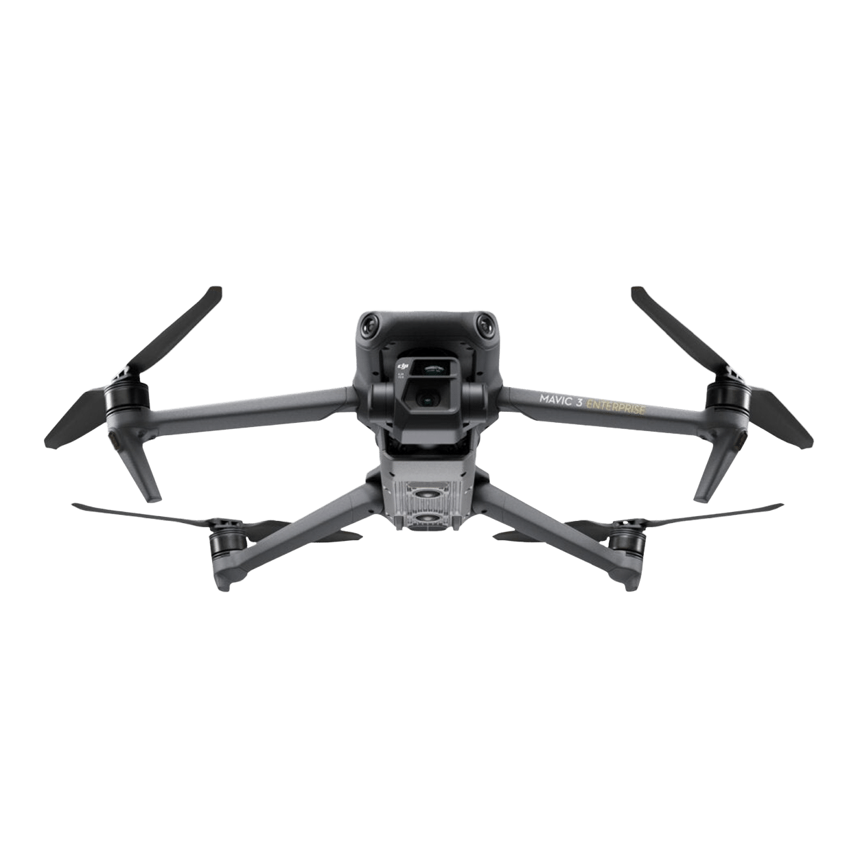


Efficient monitoring of infrastructure
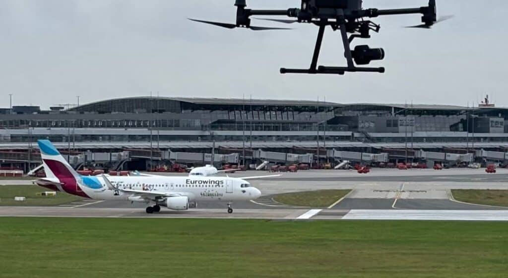
Whether power lines, pipelines, or railway lines – the regular inspection of these infrastructures is complex, costly, and dangerous. Drones offer a smart and safe solution. In this article, we show you how drones are revolutionizing route inspections – and what's important in doing so.
Typical areas of application
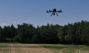
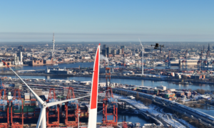
Drones are used to monitor a wide variety of route types. For example, in power lines , they are used for the early detection of damage to insulators or unwanted contact between vegetation and lines. They also help with natural gas and oil pipelines , detecting potential leaks or documenting the condition of the route. In the railway sector , drones enable efficient vegetation control and the digital recording of track structures. Fiber optic and telecommunications lines can also be inspected regularly and in detail from the air.
Advantages of using drones
The use of drones for route surveys offers numerous advantages. Firstly, they allow long distances to be covered in a very short time – without the need for vehicles or on-site personnel. This significantly reduces both time and costs.
Another advantage is the possibility of automation: Once programmed, flight routes can be repeated regularly. This creates image data that is precisely comparable over time – an ideal basis for long-term maintenance plans or for detecting changes.
Occupational safety also benefits: eliminating the need for helicopters or ground personnel in potentially dangerous areas significantly reduces the risk to people.
Furthermore, modern drone technology opens up entirely new perspectives in data collection. Drones equipped with high-resolution zoom cameras, thermal imaging sensors, or LiDAR systems enable precise analysis of the route condition – even in hard-to-see locations or under challenging environmental conditions.
Challenges in route flight
Despite all the advantages, some challenges still need to be overcome. Long-haul flights beyond visual line of sight (BVLOS), in particular, require appropriate permits and aviation regulations. Close coordination with the relevant authorities is essential here.
In addition, environmental influences such as strong winds, precipitation, or electromagnetic fields along high-voltage power lines can complicate the safe operation of drones. Reliable operation therefore requires robust aircraft and well-trained pilots.
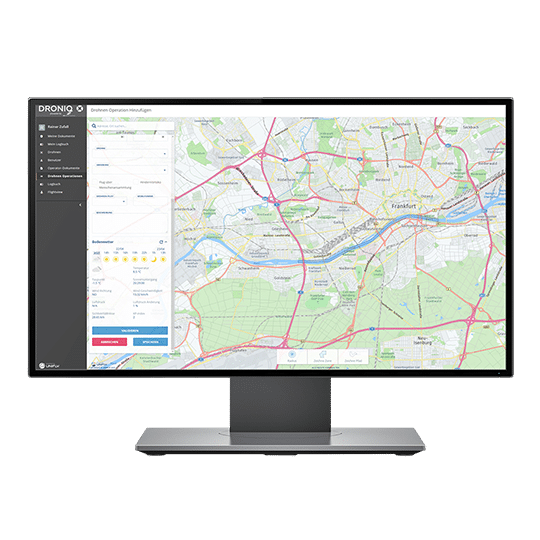
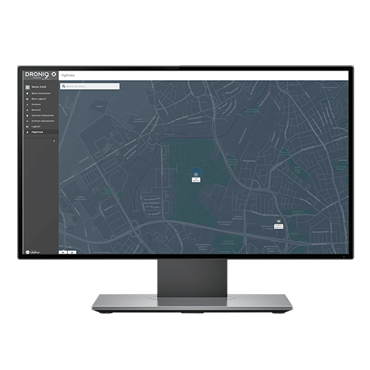
Security also plays a central role: critical infrastructure requires redundant systems, security concepts and emergency protocols to be in place in order to be able to react in the event of an emergency.
Last but not least, the sheer volume of collected data presents many operators with challenges. Only with sophisticated data management can the information be efficiently stored, analyzed, and utilized over the long term.
Further success factors
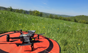
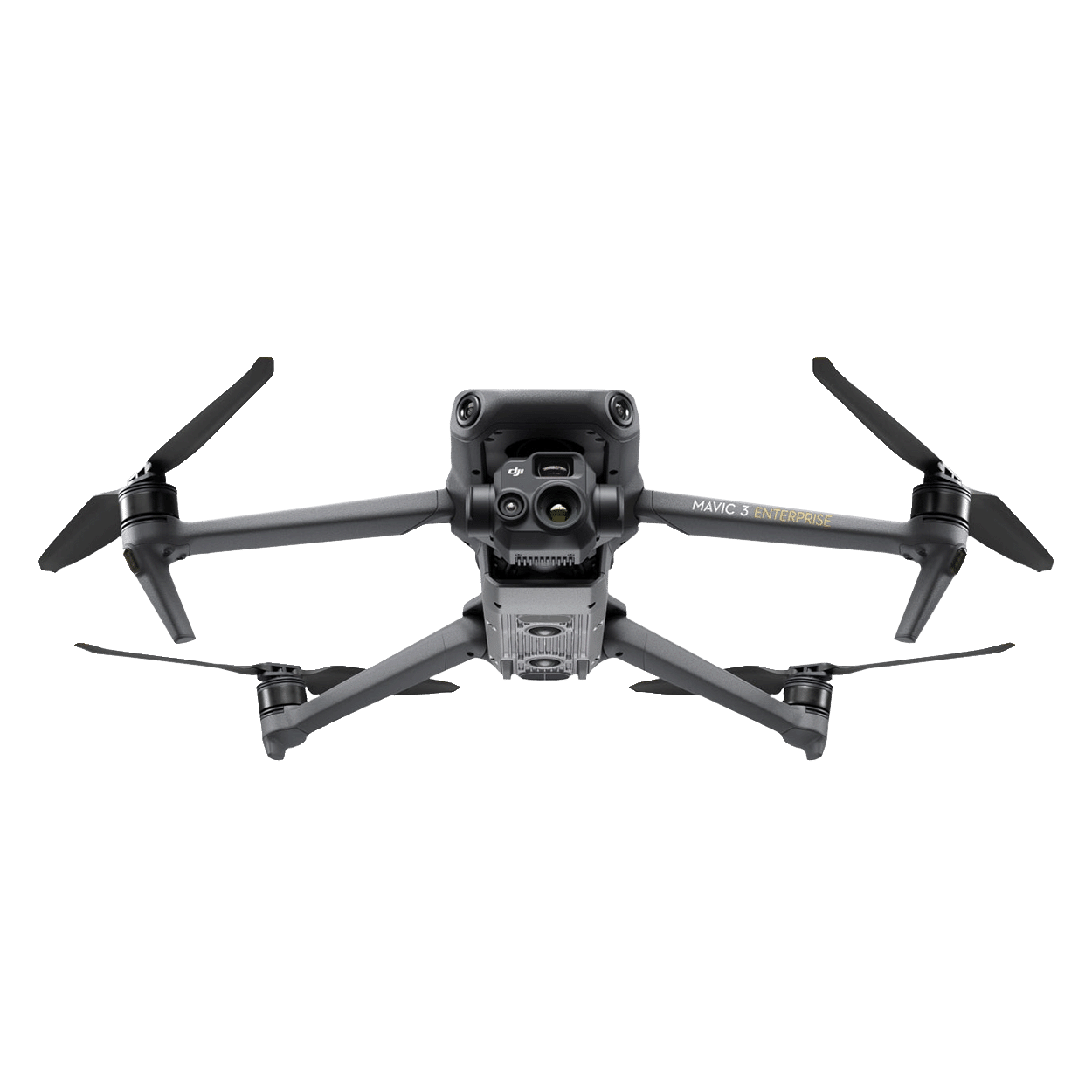
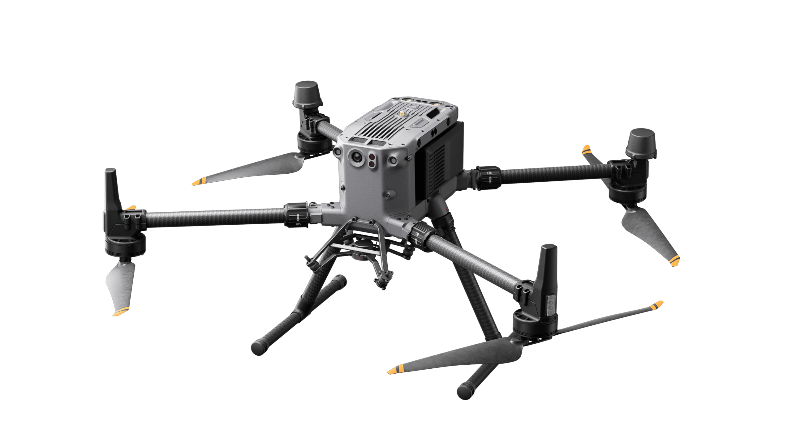
For particularly precise mapping, the use of RTK (Real Time Kinematic) technology is recommended – such as that installed in the DJI Matrice M350 RTK industrial drone. It ensures centimeter-accurate positioning and consistent flight paths – an important basis for reliable inspection results.
Furthermore, BVLOS operations require comprehensive coordination with authorities. Issues regarding airspace use, third-party protection, and regulatory requirements must be clarified early on and integrated into a holistic operational concept .
Conclusion
Drones make route inspections more efficient, safer, and more economical – provided they are professionally planned and implemented with the right technology. Droniq supports companies and operators in selecting suitable systems, obtaining necessary permits, and analyzing data – thus ensuring future-proof infrastructure monitoring from the air.