


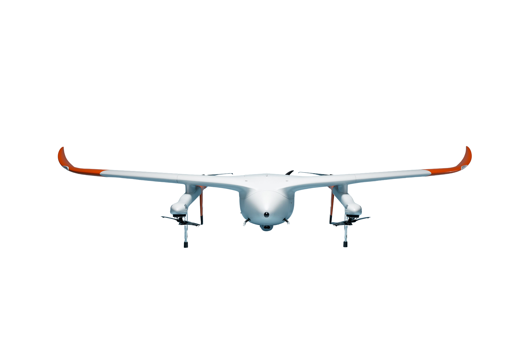


Use of drone technology to measure the edges of embankments
Drones are already being used today for the precise measurement and monitoring of bank break-off edges. This information is crucial for the safety of shipping on the waterways and for planning maintenance measures along the waterways. Until now, a drone with the Zenmuse L1 laser scanner from DJI has usually been used for this task.
Testing and comparison: DJI Zenmuse L1 and L2
The Zenmuse L2 laser scanner is a possible future solution for flying such missions. In order to compare the performance of the two systems, measurements were carried out with both laser scanners. The results of these test flights provide valuable insights into the differences and advantages of the two models.
Results of the drone test flights
- Calibration/Warm-up: One of the main advantages of the Zenmuse L2 is that the laser scanner no longer needs to be calibrated or warmed up. With the Zenmuse L1, this process used to take around 5 minutes.
- Higher display resolution: The Zenmuse L2 offers a higher display resolution, resulting in an improved live view during the flight.
- Laser returns: Another significant difference is the number of laser returns. The Zenmuse L2 sends the laser beam back to the same point five times (5 returns), while the L1 only does this three times. This results in more detailed and accurate data.
Conclusion and outlook
The test flights of the waterways show the potential of modern drone technology in the area of waterway management. The initial test results of the Zenmuse L2 are promising and could further optimize surveying work in the future.


