Web application for displaying aircraft movements in defined area and altitude
Traffic management for drones
UTM Trackviewer monthly license
Web application for displaying aircraft movements in defined area and altitude
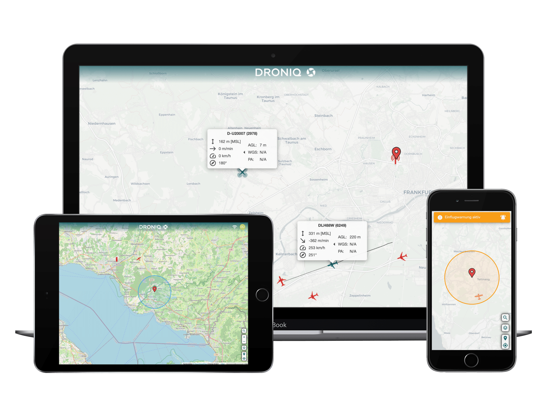
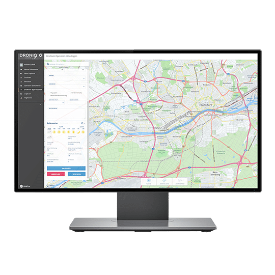
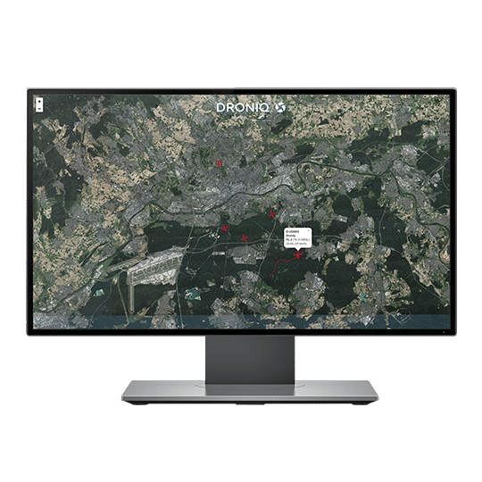
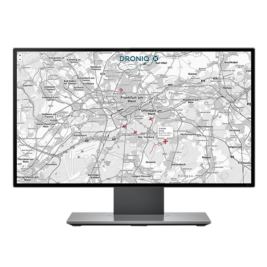
The UTM TrackViewer is a web application through which a drone operator can monitor air traffic in the area of his UAS operation. The TrackViewer displays the positions of drones equipped with a HOD4track or Dronetag mini as well as the relevant manned air traffic in the vicinity.
The UTM TrackViewer is a web application that allows a UAS operator to monitor air traffic in the area of his UAS operation. The TrackViewer displays the positions of aircraft equipped with a HOD4track or dronetag as well as the relevant manned air traffic in the vicinity.
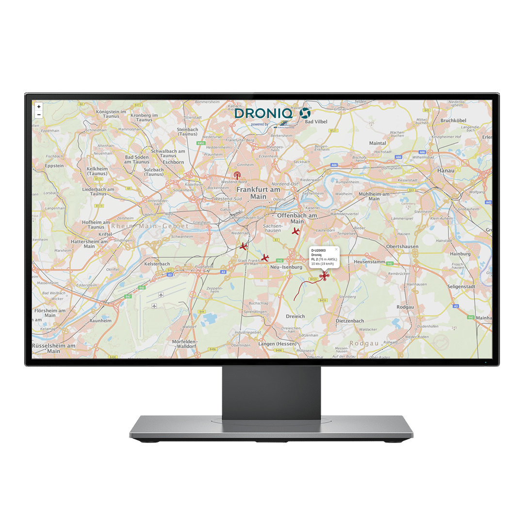
This is done by fusing different sensor data (e.g. MODE-S, FLARM and ADS-B). The web application thus provides the drone operator with real-time situational awareness. Other aircraft can be seen and details of individual aircraft (if available) such as identifier, speed, altitude, rate of climb and descent, and their flight movements can be retrieved.
Scope of delivery
Single user license for the web-based TrackViewer for 1 month incl. automatic renewal. The access to the TrackViewer as well as UTM pro is digitally transmitted to the user.
Subscription costs for commercial use
The license is a monthly single user seat license. The monthly subscription is automatically renewed for another month unless it is cancelled in due time. The cancellation period is 2 weeks to the end of the month. The cost for the monthly license is 49 EUR net. Billing is either monthly, quarterly or annually.
System requirement
Latest version of the browser (including Chrome, Edge, Firefox, Safari).
DRONES IN THE AIRSPACE
Safe and visible
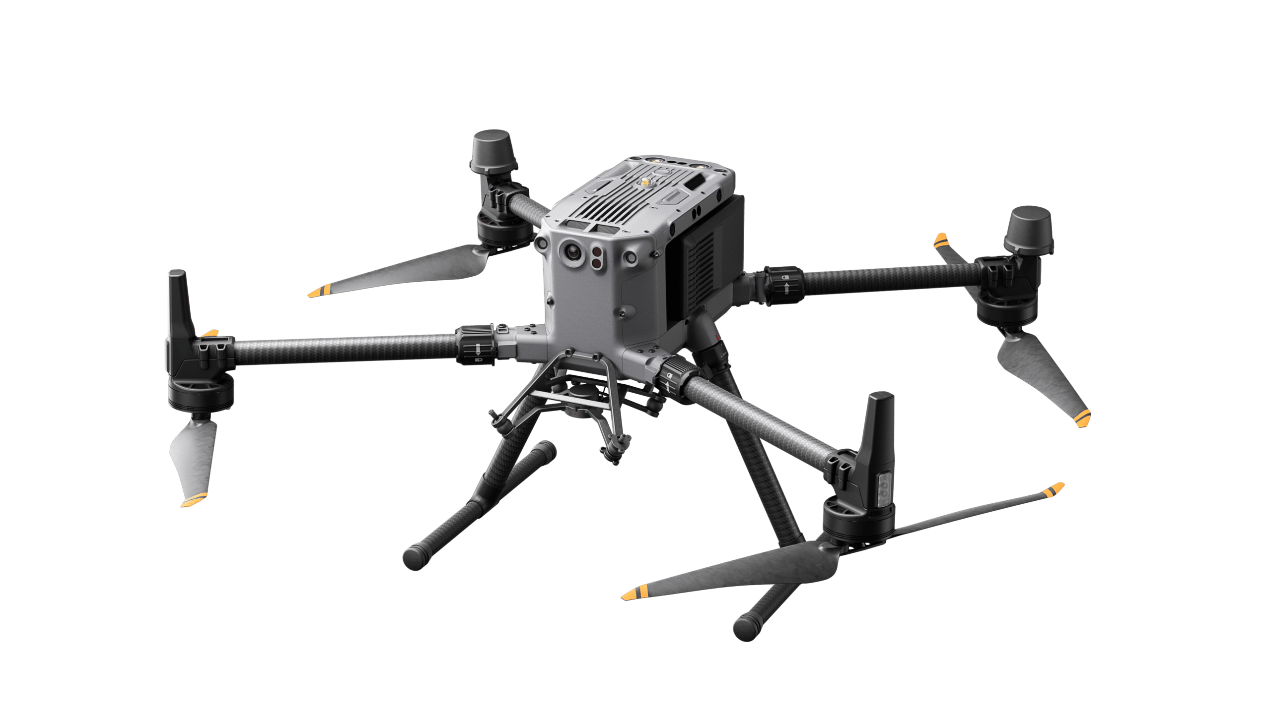
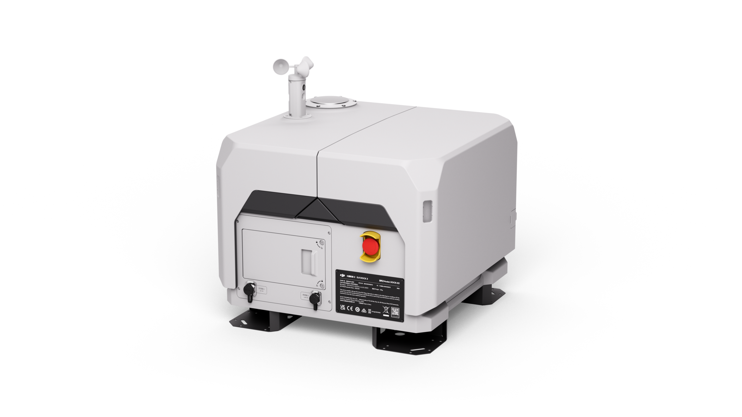
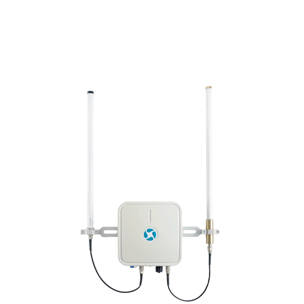
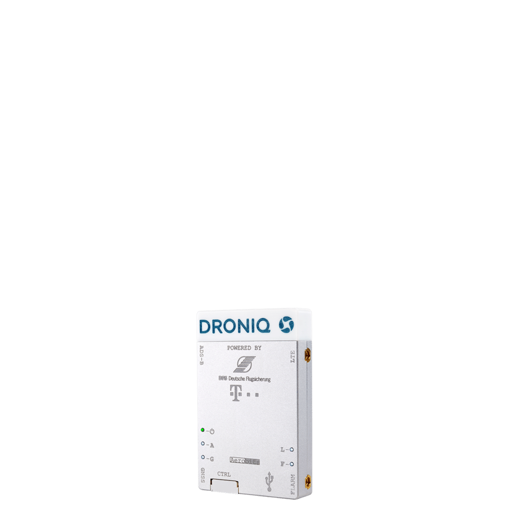
With our traffic management system for drones, which is unique in Germany, we provide drone users with a live aerial situation of the manned and unmanned air traffic surrounding them. This allows drone flights to take place safely even beyond visual range. For this purpose, Droniq provides you with the required hardware and software consisting of the following components:
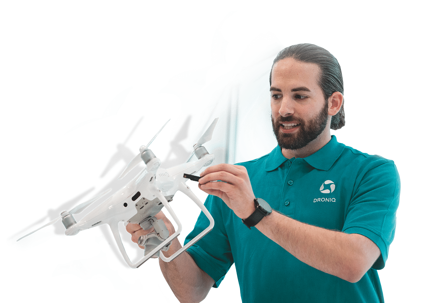
LTE transponder for locating the aircraft
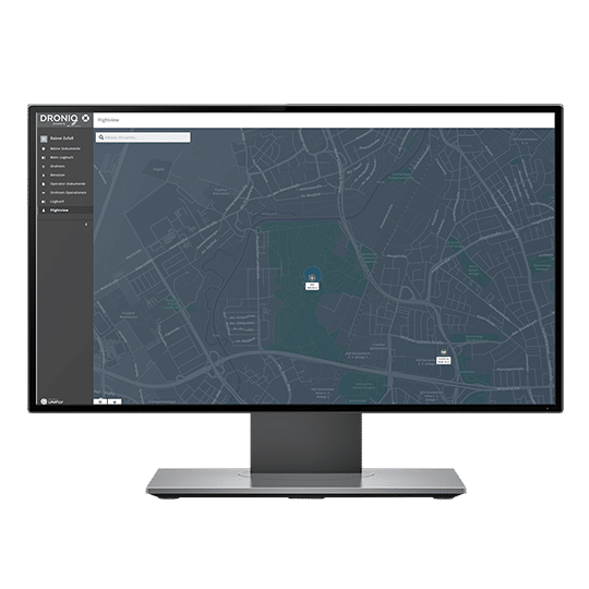
Web-based UTM system for displaying aircraft movements
Our YouTube channel offers versatile content around the topic of drones & visibility in the airspace.
Product features
Real-time display of aircraft movements
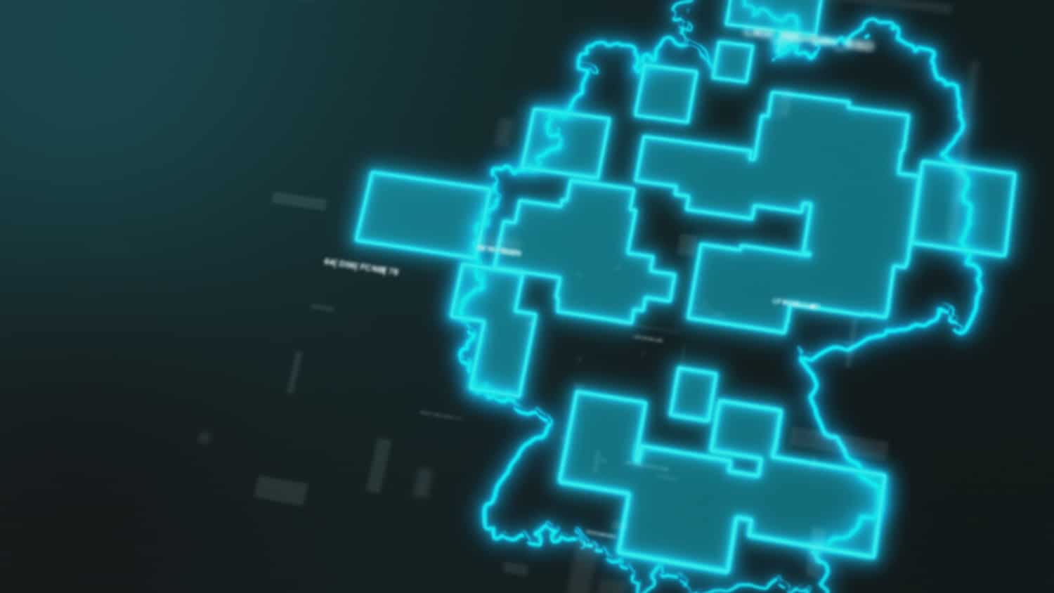
Surrounding air traffic - manned and unmanned - can be displayed in real time within Germany by the UTM's air situation image.
Multisensor data fusion
Multisensor data fusion is used to acquire data sources such as primary/secondary radar, ADS-B, FLARM, or drone tracking systems.
Visibility of own drone fleet
In combination with the drone tracking module HOD4track or Dronetag mini, the position of the own drone fleet can also be displayed in the UTM through multi-sensor data fusion.
Track flight movement
Users can track flight movement and view past flight history and projected flight direction.
Representation & display of aircraft details
Aircraft (airplane, helicopter, drones, ground sensors) are displayed visually differentiated in the traffic management for drones. In addition, the following aircraft details are displayed: Identification, speed, altitude, rate of climb and descent, direction.
Collision & Closed Airspace Warning
The drone operator is warned of collisions and closed airspaces (no-fly zones) at an early stage.
Our competences
Awarded several times
Multiple awards in the areas of safety, traffic and innovation.
Practice tested
Flown more than 12,000 km of route beyond visual line of sight (BVLOS).
Full Service Solutions
Droniq enables efficient and safe drone operations for BOS & industry.
Real Experts
More than 30 years of know-how in aviation & telecommunications.
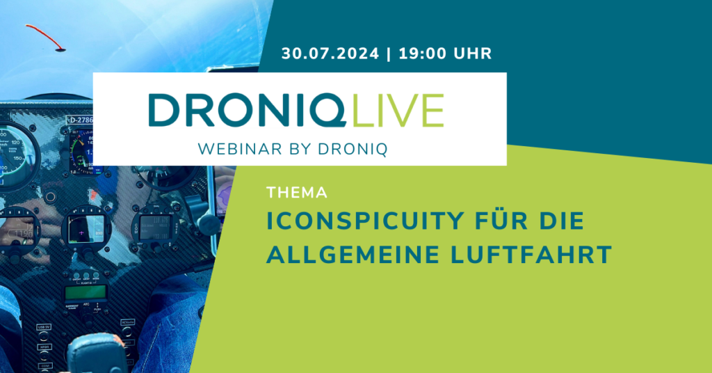
The next issue of DRONIQlive will focus on the introduction of ADS-L for general aviation.
Our presenter Alexander Tummes has invited a number of experts to talk to him about the electronic visibility of all air traffic participants - from hang gliders, gliders and helicopters to motorized aircraft.
DRONIQlive will take place on Tue, 30.07.2024 at 7 pm. We look forward to your participation!