KNOW AT A GLANCE
WHERE I MAY FLY
THE Droniq App
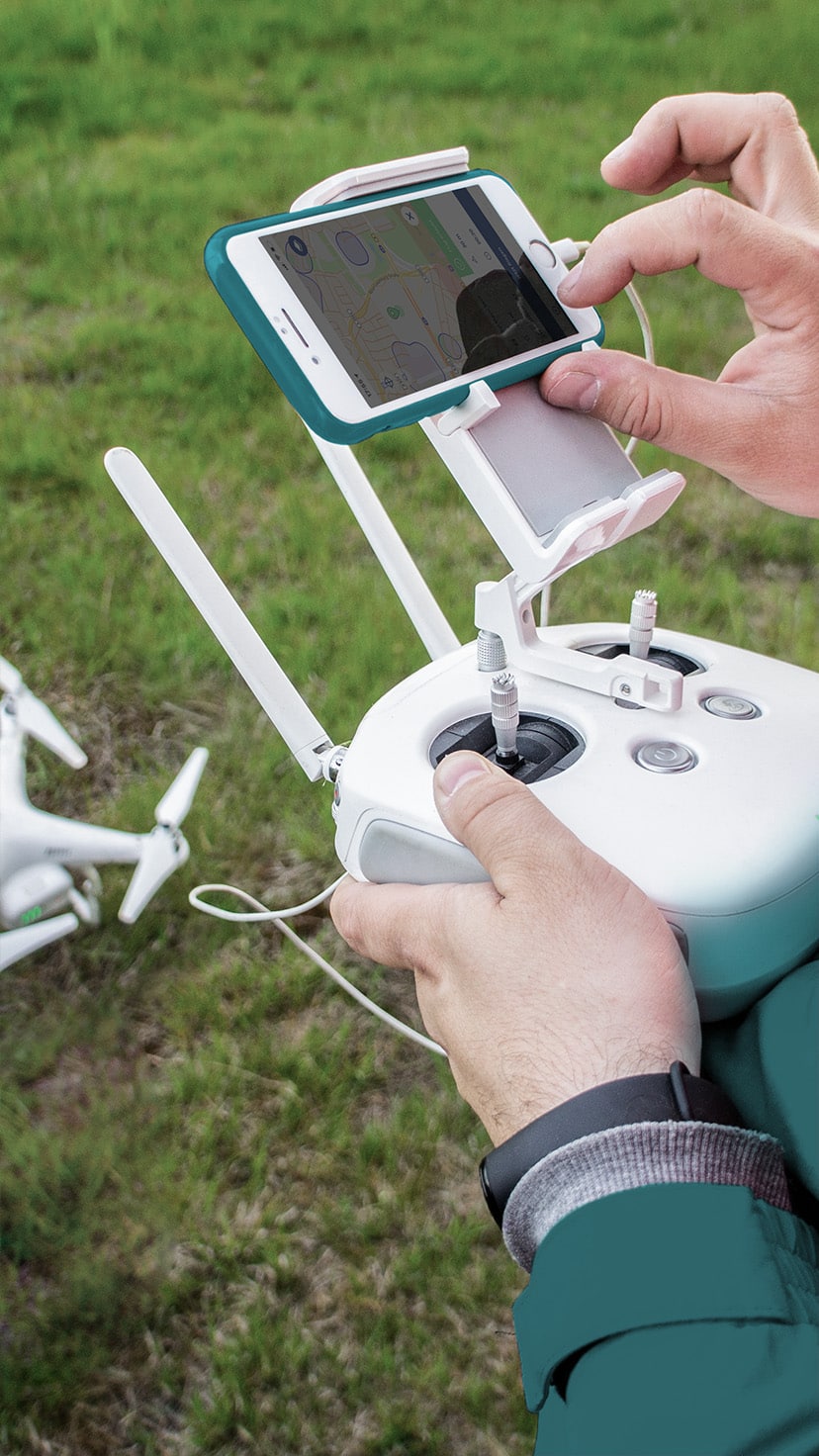
Find out safely and quickly where and how you are allowed to fly your drone in Germany! Where am I allowed to fly my drone and what do I have to pay attention to? This is a question that hobby and recreational pilots in particular ask themselves before every drone flight.
We have the solution for you.
Compliant with
EU Regulation
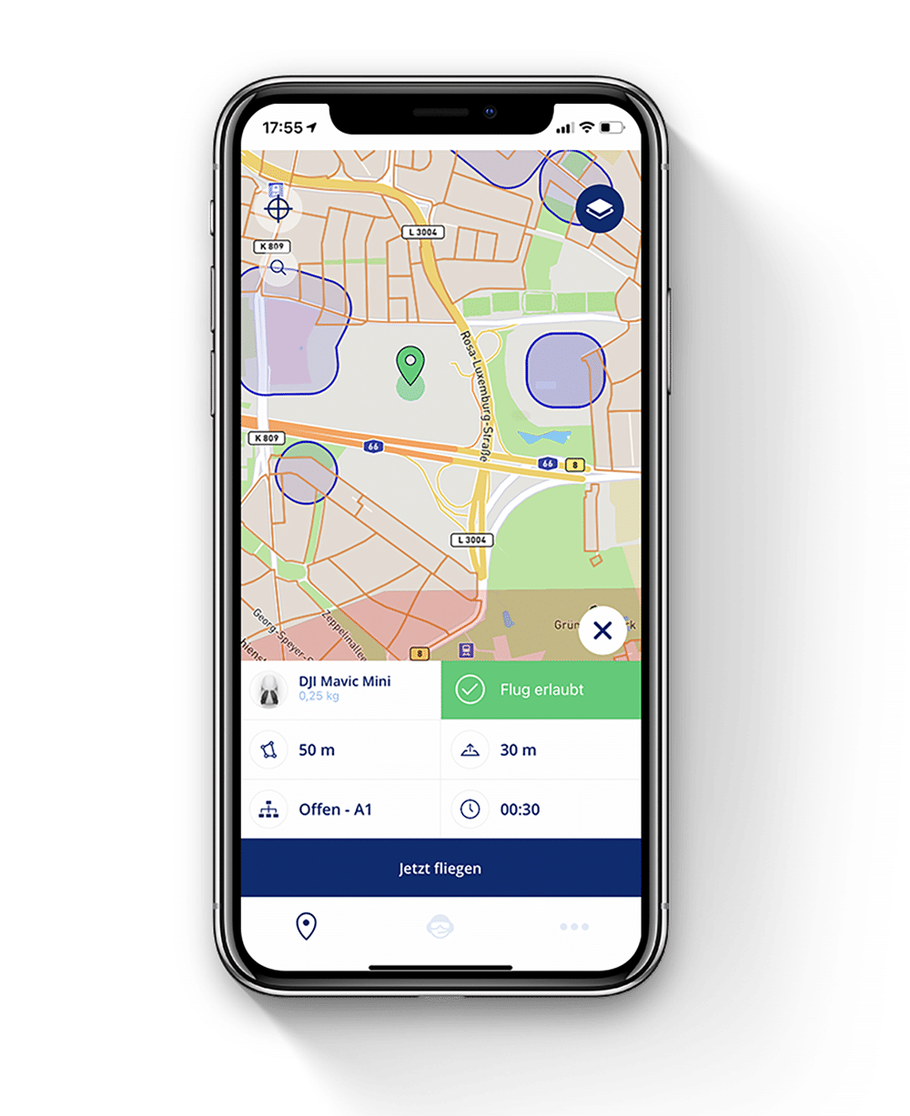
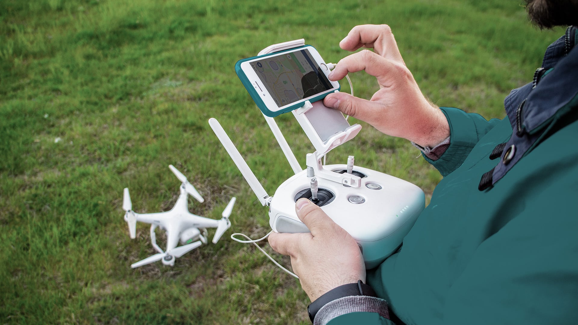
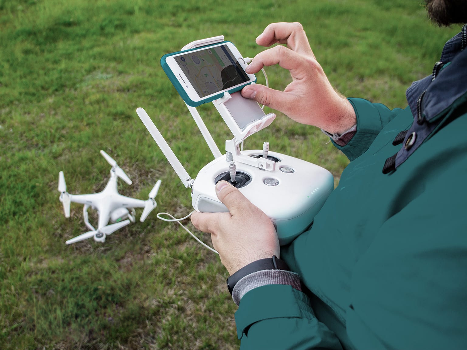
With the Droniq app, drone pilots can find out in no time where they can fly their drone and which rules and regulations apply to the control of drones in Germany.
The app was released when the new drone regulation came into effect on Dec. 31, 2020, so it is compliant with the new EU regulation from the start.
It is aimed in particular at hobby and recreational pilots and supports them along the entire mission planning and subsequent execution.

Validation against
regulations

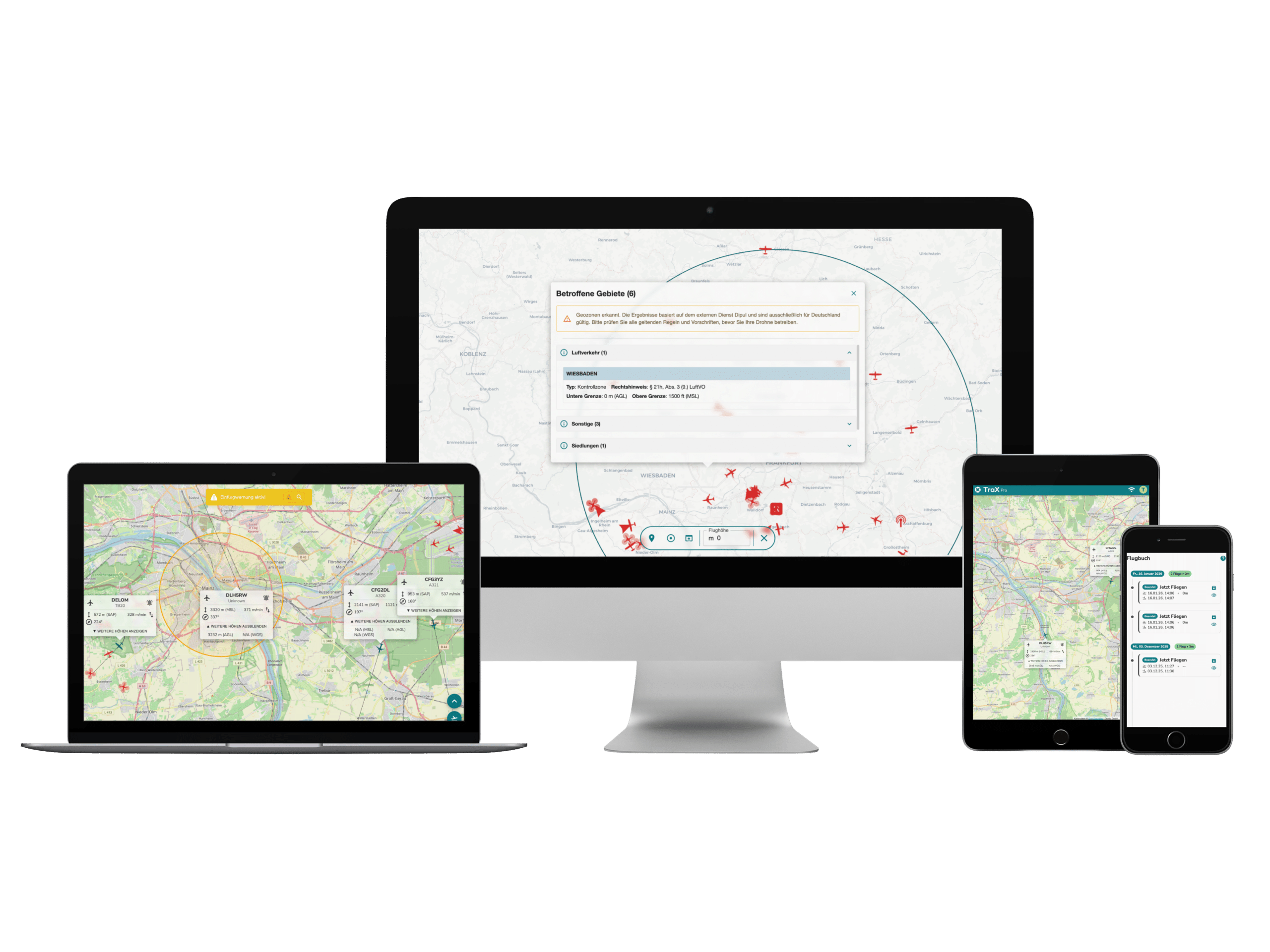
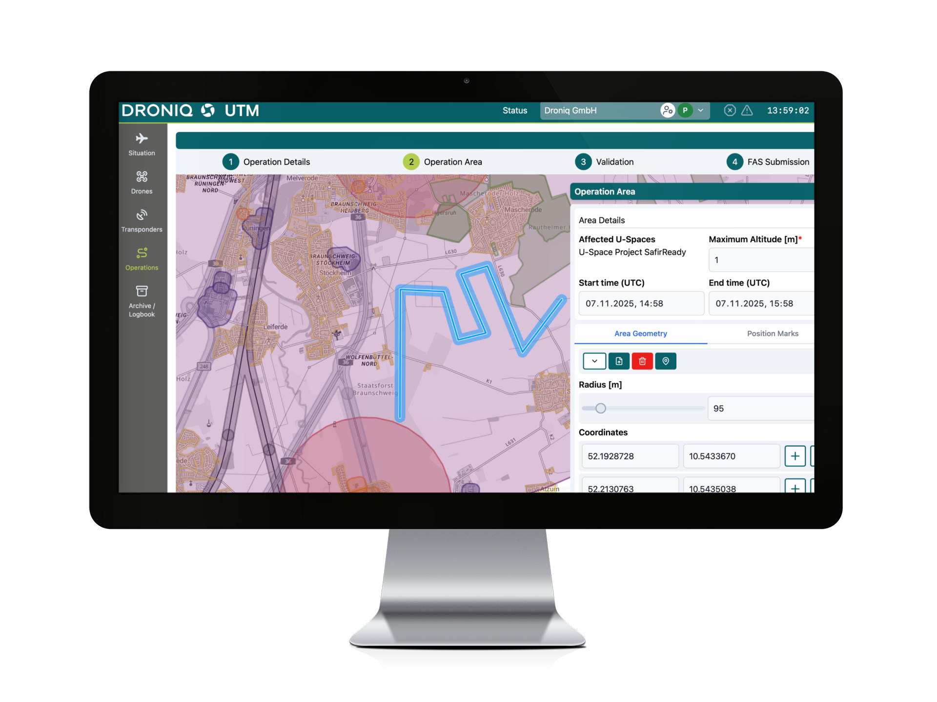
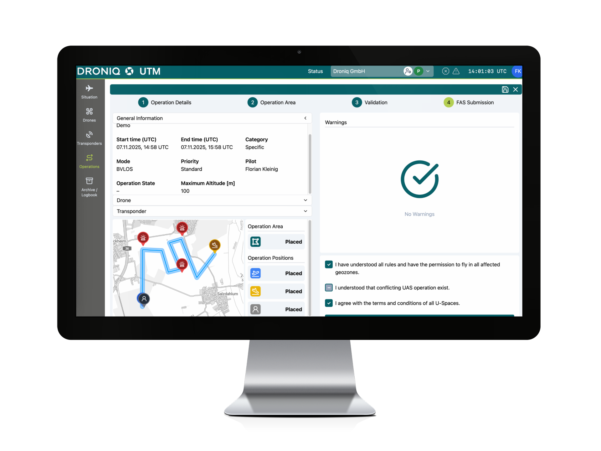
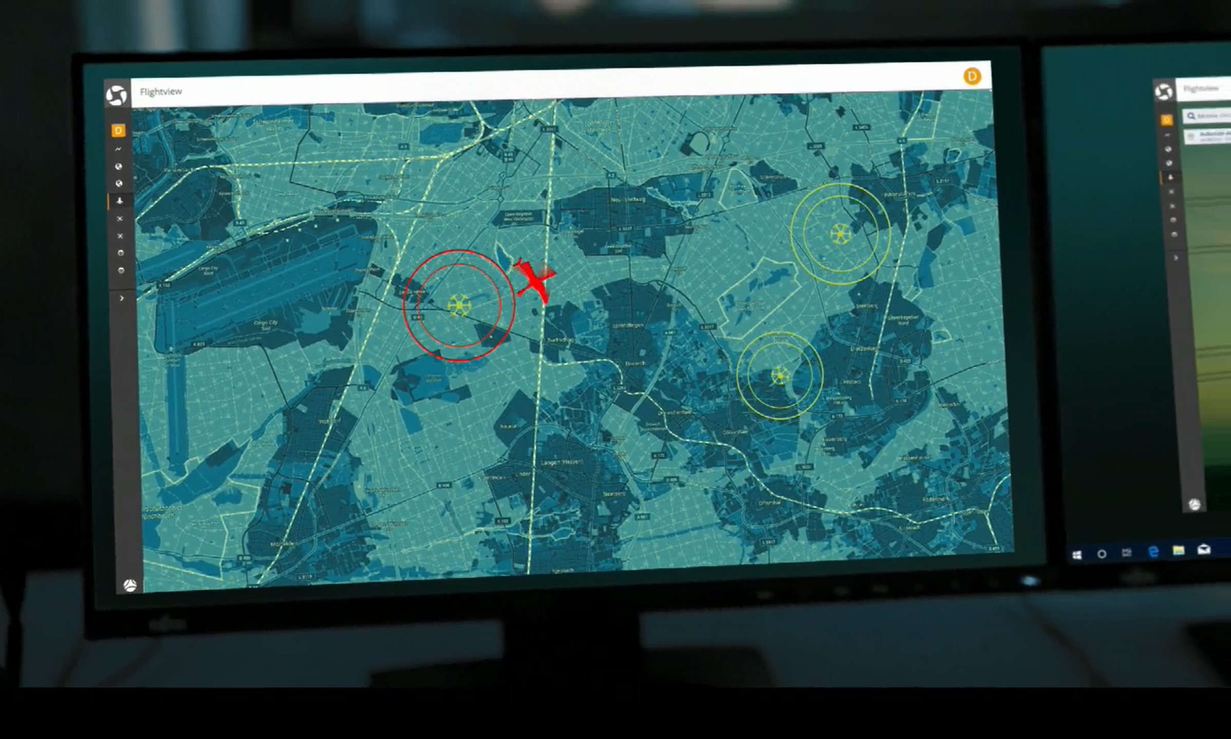
After the pilot enters the planned drone flight, the app checks the mission in real time with a view to the applicable airspace regulations and restrictions. The user is informed within a very short time whether the planned drone flight is permitted.
The question "Where am I allowed to fly?" is thus quickly answered by the app. If the user receives a negative result, he or she can use the app to check in detail which specifications have not yet been met in the current mission planning and adjust them accordingly.

App Information & Settings
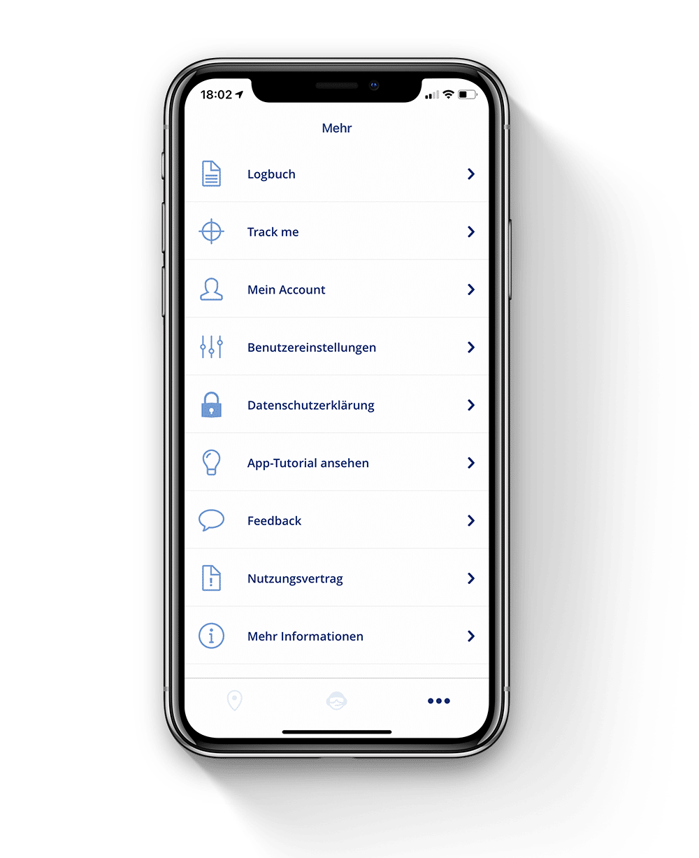
The remote pilot can quickly and easily create his profile and add or edit drones in the app settings.
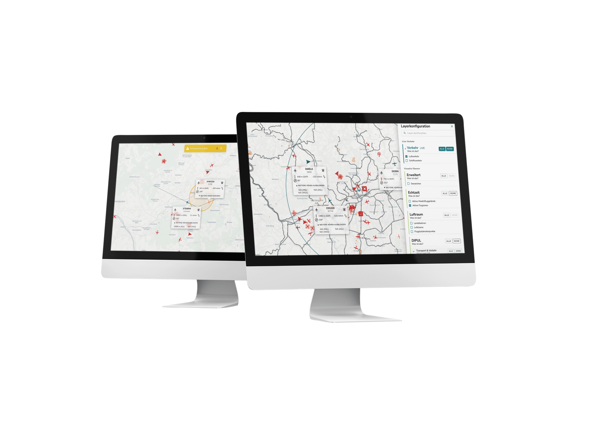
Map information can be shown and hidden in a user-defined way.

Drone Management
& Logbook
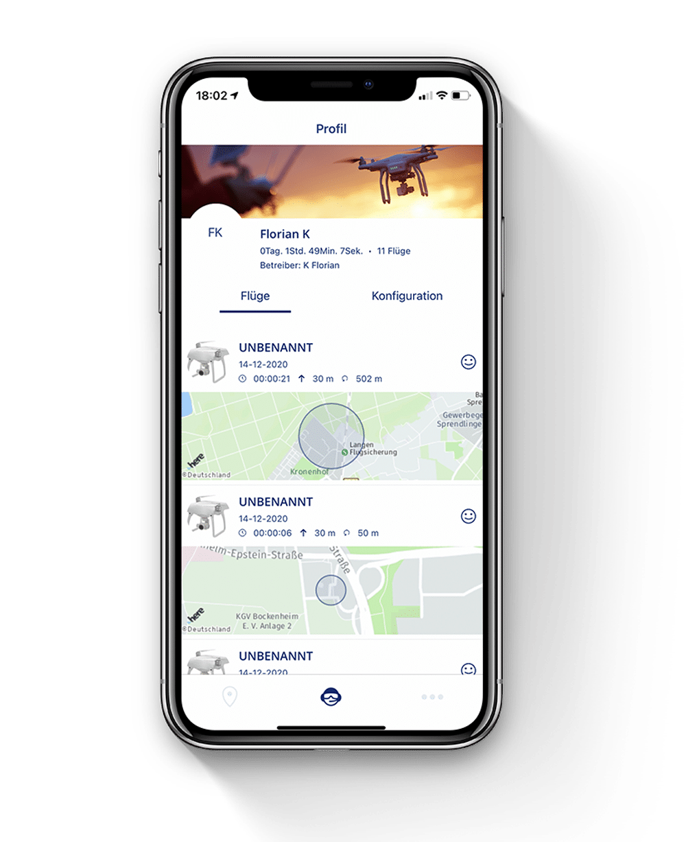
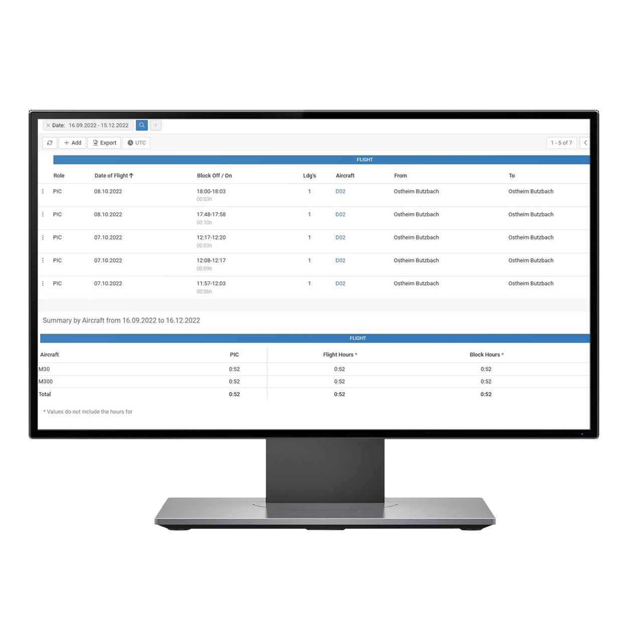
In the logbook, flights already performed are clearly displayed with location, date, flight time, altitude, drone model. The logbook entries can be subsequently evaluated and provided with details.

For whom?
Hobby and recreational pilots
Where usable?
Germany
How available?
App Store & Google Play Store
Features at a glance
-
Drone/Fleet Management
Drone selection & registration
-
Flight preparation
Plan drone flights in Germany
-
Drone Regulation
Integration of the new EU regulation for classes A1-A3
-
Validation against prohibited zones
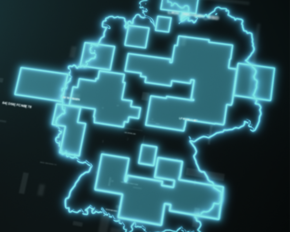
Missions (radius, polygon, path) can be checked against the AirVO
-
Information Layer
All legally relevant map layers such as airspaces, airports, NOTAM etc. can be shown and hidden
-
Weather
Display of local weather data
-
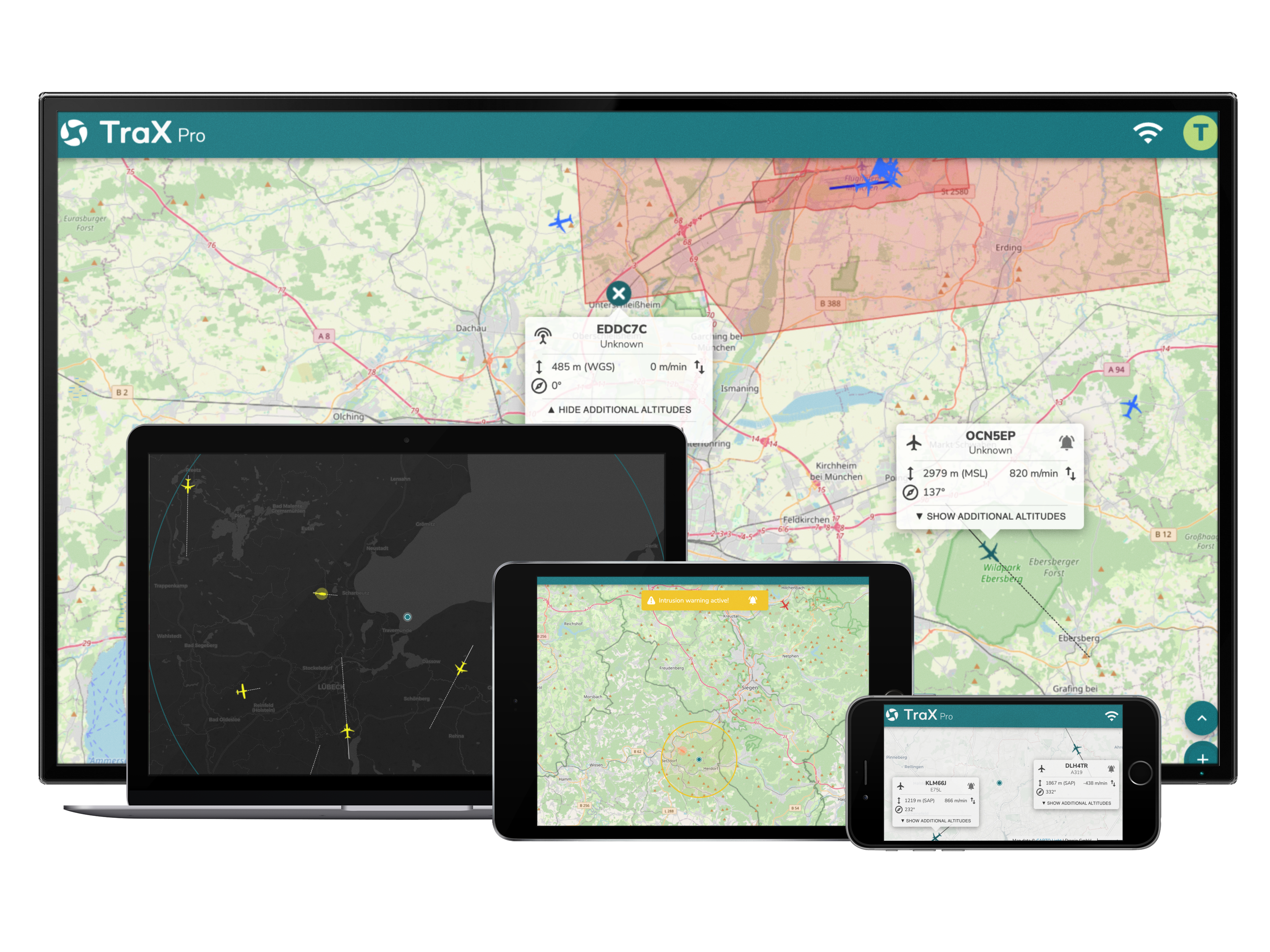
Various background cards
Standard, Dark, Satellite
-
Logbook
Overview, about already performed flights (drone, time, date and location)
Frequently asked questions about the Droniq app
What are the functions of the Droniq app?
With the app you can register your drones, plan flights and validate them against the new EU regulation. In the map view, a lot of information can be shown and hidden user-defined.
Another new feature is the transmission of the departure location, so that the own drone is visible for other airspace participants (in the UTM) and they can also be warned, if they use the Droniq app. A logbook is available to document the flights.
In order to use all functions, registration is necessary.
For whom was the Droniq app developed?
The app was developed for hobby and recreational pilots, but is also an ideal tool for safe drone flight due to numerous additional features such as logbook function, planning operations for the professional pilot.
In which countries can I use the Droniq app?
The app was programmed exclusively for use in the Federal Republic of Germany.
Where and when is the Droniq app available? How much does it cost?
The Droniq app is expected to be available for iOS and Android devices at the turn of the year. It can be obtained free of charge from the Apple App Store and the Google Play Store.
Do you have more questions about the Droniq app?
In our FAQs we answer general questions, questions about the user account, performing a mission, usage instructions, etc.
Click here for the FAQs.
