


anyA and Droniq help farmers identify indicator species
Allershausen / Frankfurt am Main, May 29, 2024 - In spring, farmers in Germany will start to identify species on their grassland. What was still mainly done manually in 2023 is now easier and faster using drones and artificial intelligence. This is made possible by an exclusive cooperation between the companies anyA and Droniq.
The identification of indicator species is part of Organic Regulation 5, which has been in force since 2023 and aims to protect biodiversity. If the farmer can prove the presence of at least four indicator species on his grassland, he receives subsidies. These amount to up to 450 euros per hectare, depending on the federal state and the number and type of indicator species. The scheme is part of the EU's Common Agricultural Policy (CAP) and applies from 2023 to 2028.
Until the end of 2023, the identification of indicator species was mainly carried out manually. To do this, the farmer had to walk the grassland and photograph the indicator species. This is a laborious process, especially for larger areas. Also challenging: the obligation to provide proof.
Interplay of advanced technologies
With their cooperation, anyA, a subsidiary of crop protection product manufacturer Sumi Agro Deutschland, and drones-as-a-service provider Droniq are simplifying this process. The basis for this is the interaction between the drone and artificial intelligence (AI). The drone flies over the farmer's green areas and takes high-resolution aerial photos of them. The AI from anyA evaluates the collected data and identifies both the number and type of characteristic species present. After the aerial survey, the farmer receives a report on the identified species and can use it to apply for a subsidy.
Brian Rawson, Project Manager anyA: "The future of agriculture lies in digitalization and smart farming. With anyA, we are the architects of agriculture."
"Together with anyA, we are demonstrating how the interaction between drones and AI creates sustainable added value for agriculture," adds Droniq CEO Jan-Eric Putze. "At the same time, we are further expanding our drones-as-a-service business and are now also represented in the agricultural segment with our expertise."
Identification in just a few steps
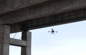
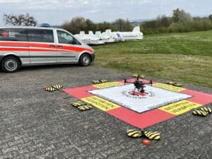
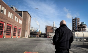
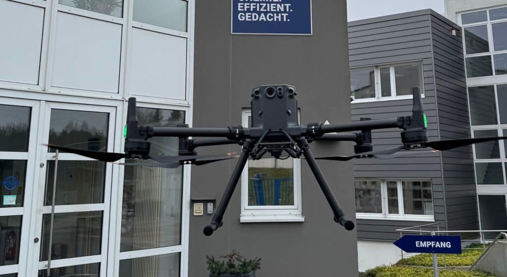
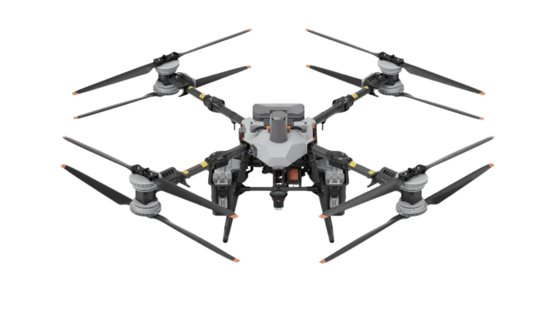
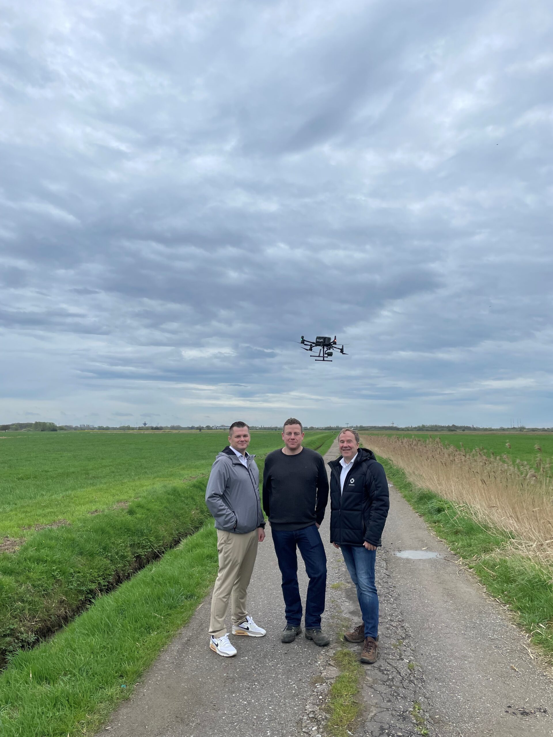
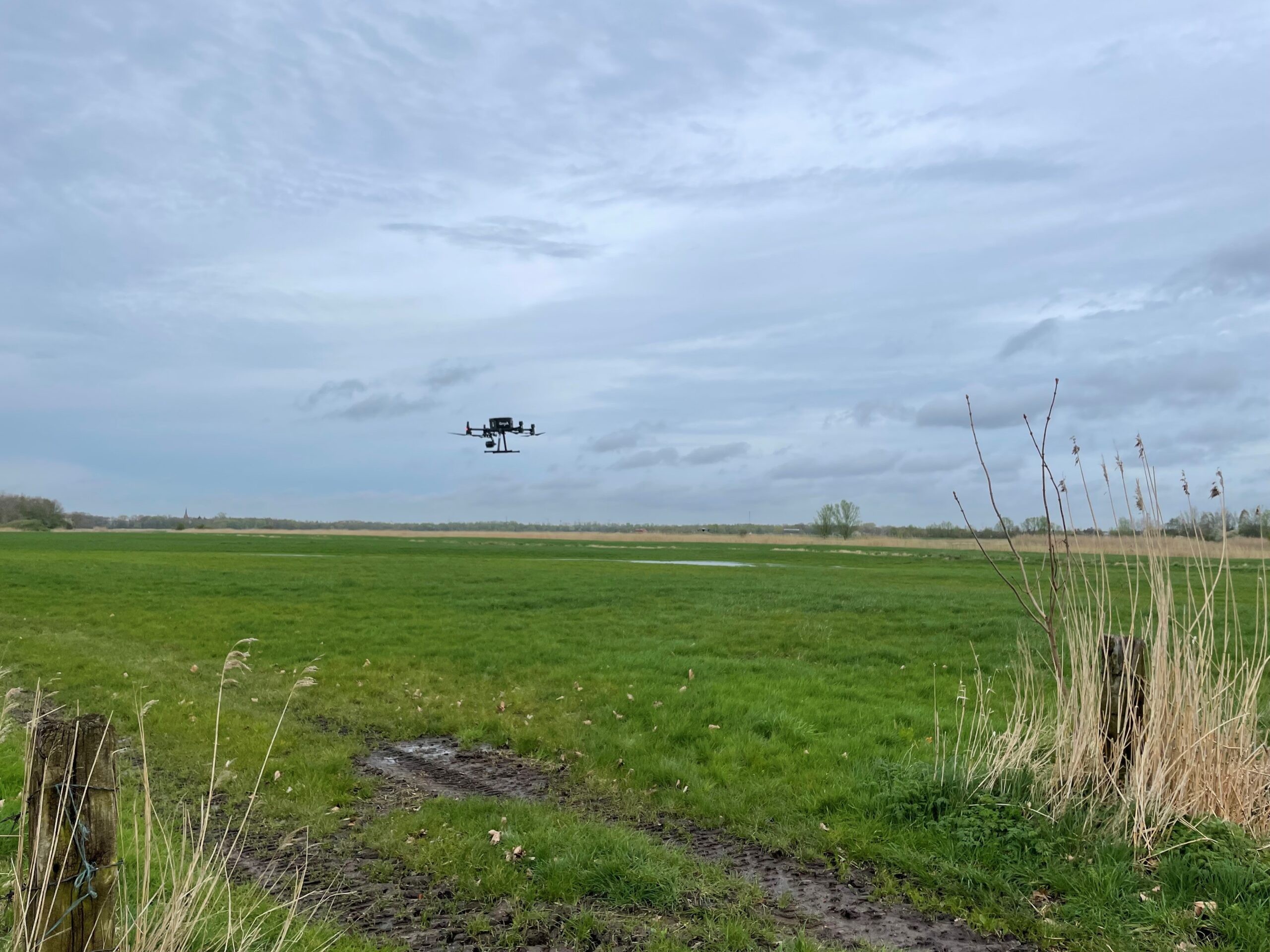
As part of the cooperation, Droniq takes care of the flying process. In the first step, the farmer transmits the coordinates of the areas to be flown over to anyA. Once the coordinates have been entered into anyA's system, a pilot travels to the farmer and carries out the flight. Industrial drones equipped with a wide-angle camera are used for the flight. The drone automatically flies over the green area at a height of around 22 meters and takes high-resolution detailed photos of the green area. Droniq relies on a Germany-wide network of certified drone pilots for the flights. If an additional ascent permit is required to fly over the green space, Droniq also takes care of the entire application process for the farmer.
The information collected is then analyzed with the help of anyA's AI. "anyA" stands for "Analytics of Nutrition, Yield and Agronomy". The images obtained and the underlying image information are evaluated in conjunction with AI-based image analysis software. The farmer then receives a detailed summary of the indicator species on his land, including images and geo-coordinates. This contains detailed information about the type and number of identified indicator species, as well as their exact location, which makes it much easier for the farmer to provide evidence.
Start of the agricultural land survey in May 2024
In addition to identifying indicator species, anyA also works with the drones-as-a-service provider Droniq to fly over agricultural land. The AI of the same name is also used here. At its core are high-resolution aerial images taken with the help of satellites and drones. After analysis by anyA, diseases, weeds, pests and nutrient deficiencies can be detected and localized.
Press photos
Press contact
- anYa: Brian Rawson, phone: + 49 160 957 87 222, e-mail: brian.rawson@sumiagro.com
- Droniq GmbH: Phil Stephan, Sr. PR Manager, Phone: + 49 171 6099 747, E-Mail: phil.stephan@droniq.de
About anYa
SUMI AGRO is a subsidiary of Sumitomo Corporation, which owns anyA, one of the leading business companies in Japan. Sumitomo Corporation's business activities cover many different industries.
With the help of anyA, we map the infestation status of diseases and insect pests, as well as the nutrient status, and can then achieve an equally good - or even better - result in the field with "less pesticide". The bottom line is "more safety" because fewer pesticides have to be used. This is a quality criterion and active resource protection. A blanket ban on pesticides will not secure our food supply any more than unlimited use as in the "good old days".
More safety and less or more targeted use of pesticides is possible! We prove this with anyA in arable farming in a range of crops (maize, rapeseed, potatoes, sugar beet, soya, sunflower and many more) and in grassland for the determination of characteristic species. In this way, we offer agriculture added value and the trade an opportunity to improve quality in the field and minimize the quantities used in the
division of labour with advisors.
www.anya.de
About Droniq GmbH
Droniq GmbH is a joint venture founded in 2019 by DFS Deutsche Flugsicherung (51% share) and Deutsche Telekom (49% share). Based in Frankfurt am Main, the company's mission is to promote the professional and safe use of drones by public authorities and organizations with security tasks, as well as by companies.
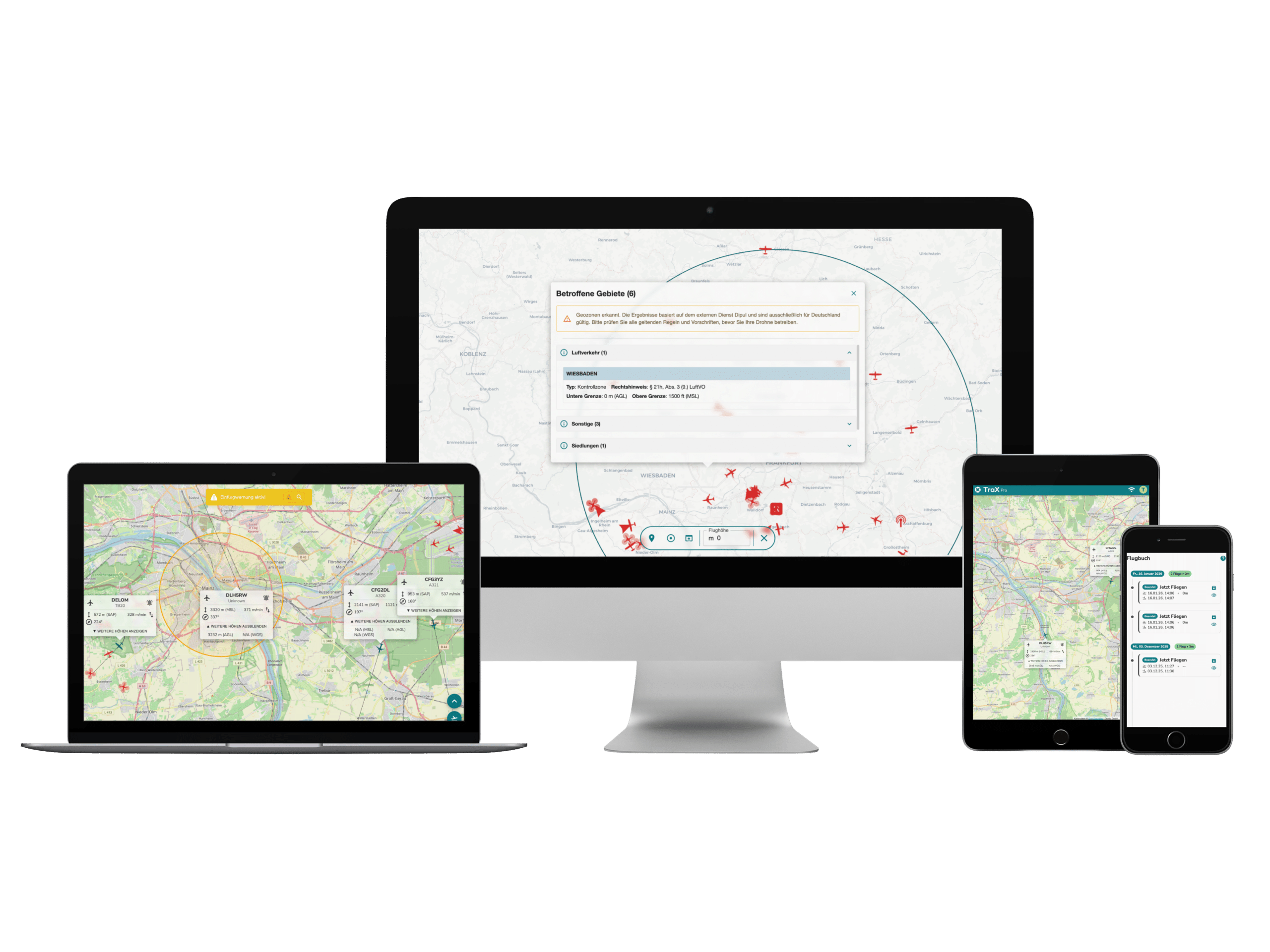
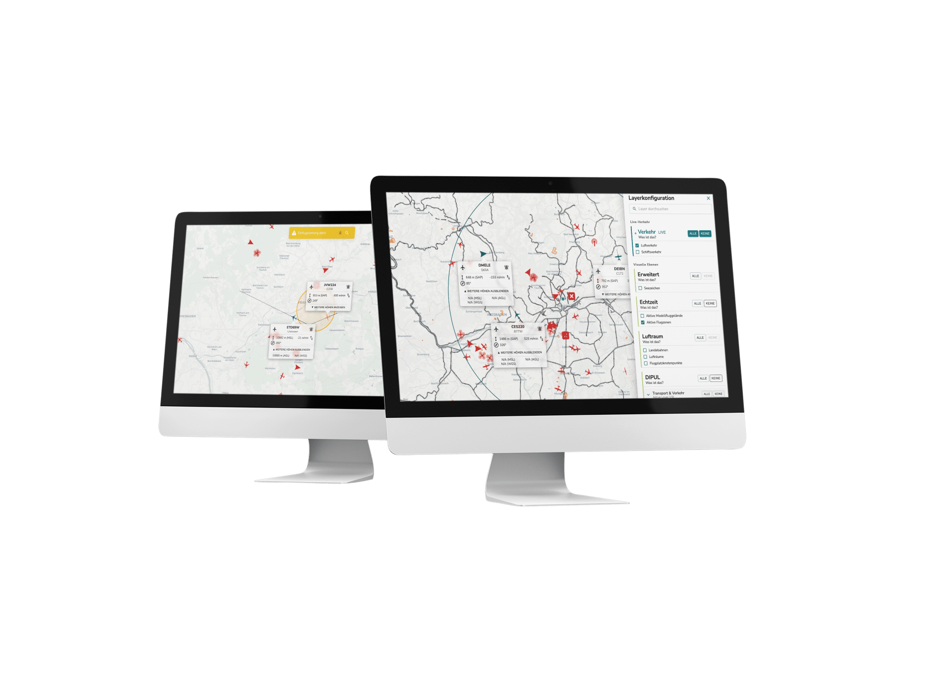
The core of Droniq's product offering is the Droniq Traffic Management System for Drones (UTM). The UTM shows the pilot all surrounding air traffic - manned and unmanned. Furthermore, the other air traffic participants can also see the drone if necessary. With this system, which is unique in Germany, Droniq creates the basis for using drones safely beyond visual range.
Other services offered by Droniq include the sale of drones for commercial and official drone use as well as hardware and software solutions for safe operation. It also supports its customers in applying for operating licenses and advises on mission planning. With its Droniq Academy, which is represented in Frankfurt and Mönchengladbach, among other locations, the company also offers the opportunity to complete training courses and examinations for remote pilots.
At the end of 2023, Droniq also launched its Drones-as-a-Service segment. As part of this, Droniq supports its customers in all applications relating to drone operations and also carries out drone flights for them if required. The main focus here is currently on the inspection of wind turbines as well as green load and agricultural flights.
Droniq's customers include federal and state police units as well as fire departments, rescue services and companies from the chemical, logistics, agricultural, wind power, construction and security sectors.
www.droniq.de