













Why a Comprehensive Situation Assessment Is Becoming Increasingly Important
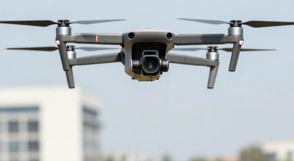
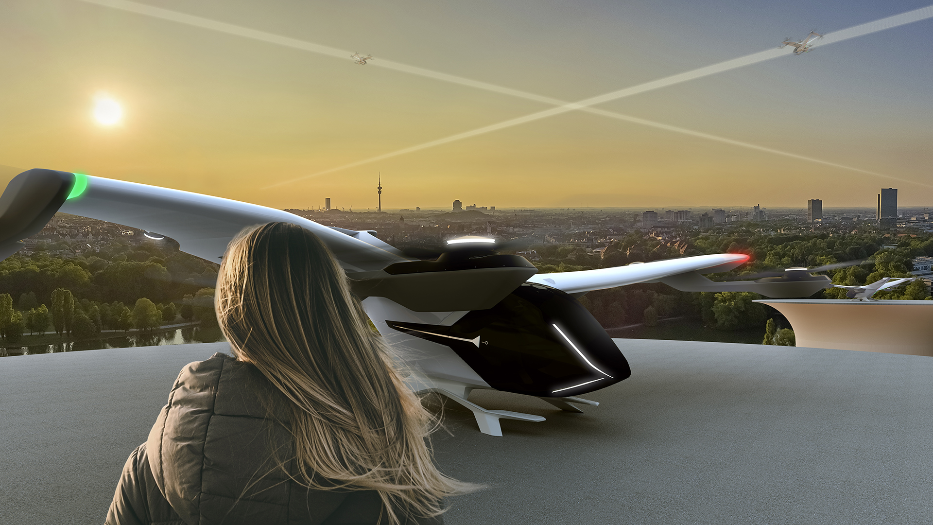
Drones are taking on inspection, surveying, and transport tasks; helicopters are being used for rescue and emergency operations; and new applications, such as aerial wind turbines, are emerging. Airspace near the ground is becoming more diverse.
This raises a question that is becoming increasingly important: Who is in the airspace, when, and where?
Transparency is essential for the safe integration of different air traffic participants. This is not just a matter of knowing one’s own position; it is equally important to obtain information about other relevant air traffic participants in the vicinity. A comprehensive air situation picture provides the foundation for this.
More and more applications in low-altitude airspace
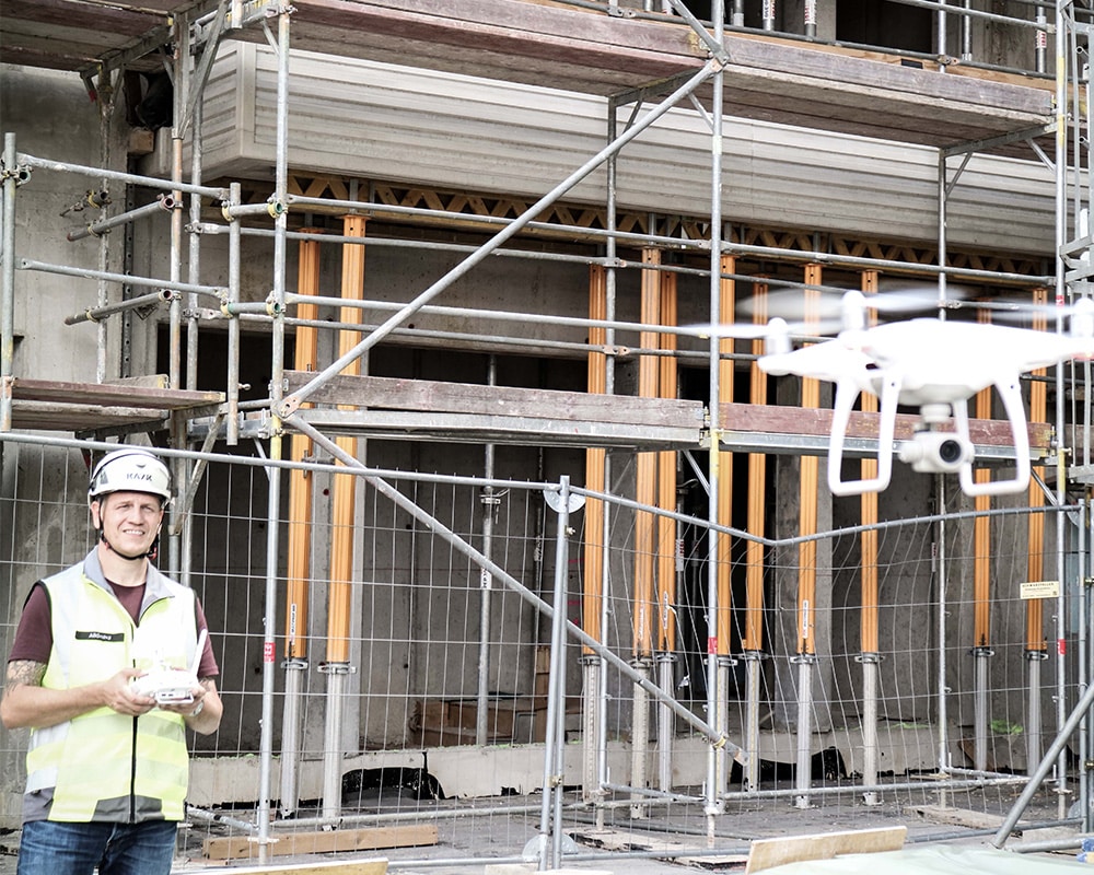
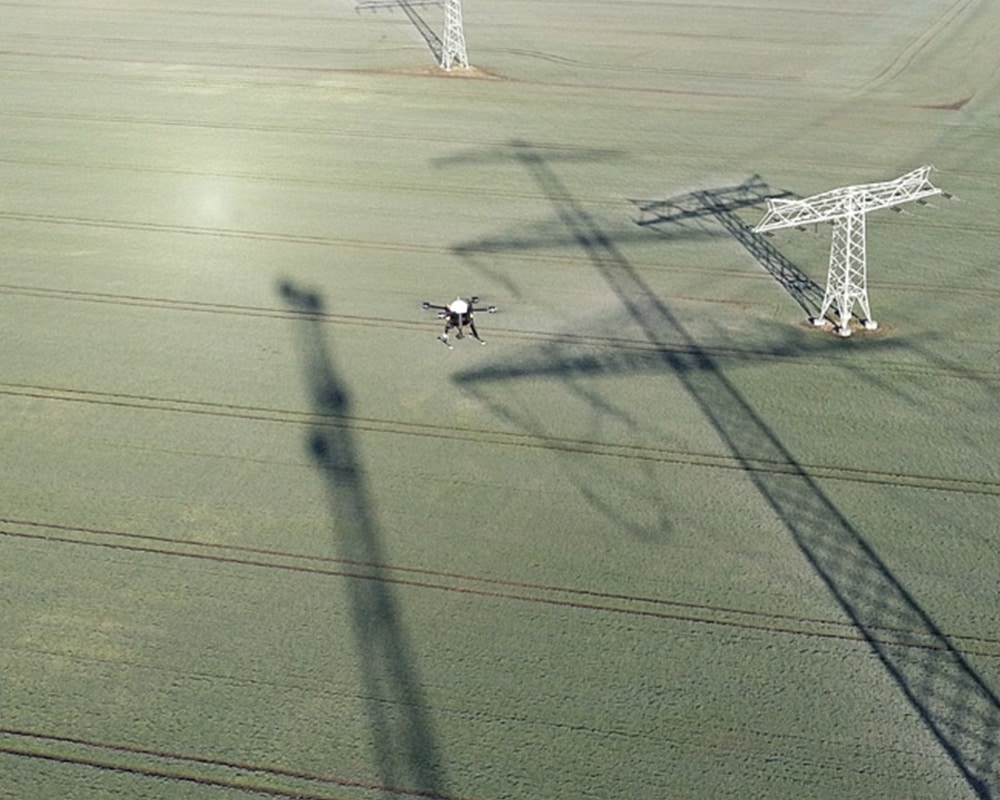
With the increasing use of drones, lower airspace in particular is undergoing change. Already today, drones are used, for example, to inspect power lines, pipelines, and wind turbines, to perform surveying tasks, and to monitor infrastructure. Automated flights and transport operations are also expanding the range of possible applications.
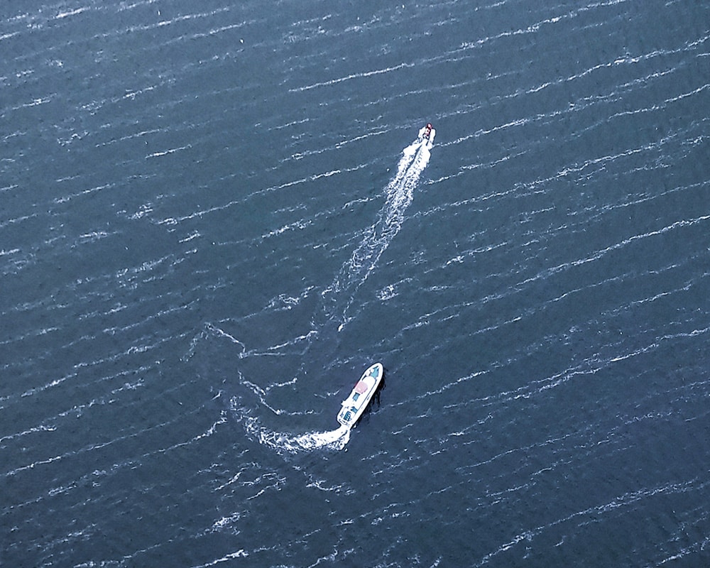
At the same time, this airspace continues to be used by manned aircraft, such as rescue and police helicopters or general aviation. In addition, there are new applications that must also be safely integrated into the existing airspace.
The more diverse the uses become, the more important it is to have as complete a picture as possible of the current traffic situation.
Visibility works both ways
Knowing your own location or the position of your aircraft is only part of it.
Anyone who wants to use the airspace safely must also know which other relevant air traffic participants are in the vicinity. At the same time, one’s own position should be visible to other airspace users.
Tracking and situational awareness serve different purposes:
Tracking provides the position of a specific aircraft. An air situation report, on the other hand, compiles available information on various air traffic participants, thereby providing a more comprehensive picture of air traffic activity.
For applications in low-altitude airspace, both perspectives are therefore crucial: being visible to others while also being able to see the traffic in one’s immediate surroundings.
From Individual Position Data to a Shared Situational Picture
Not every air traffic participant transmits its position in the same way. To obtain the most comprehensive picture of the situation possible, therefore, the various available data sources must be taken into account and integrated.
This is exactly where our Droniq Live Air Situation comes into play.
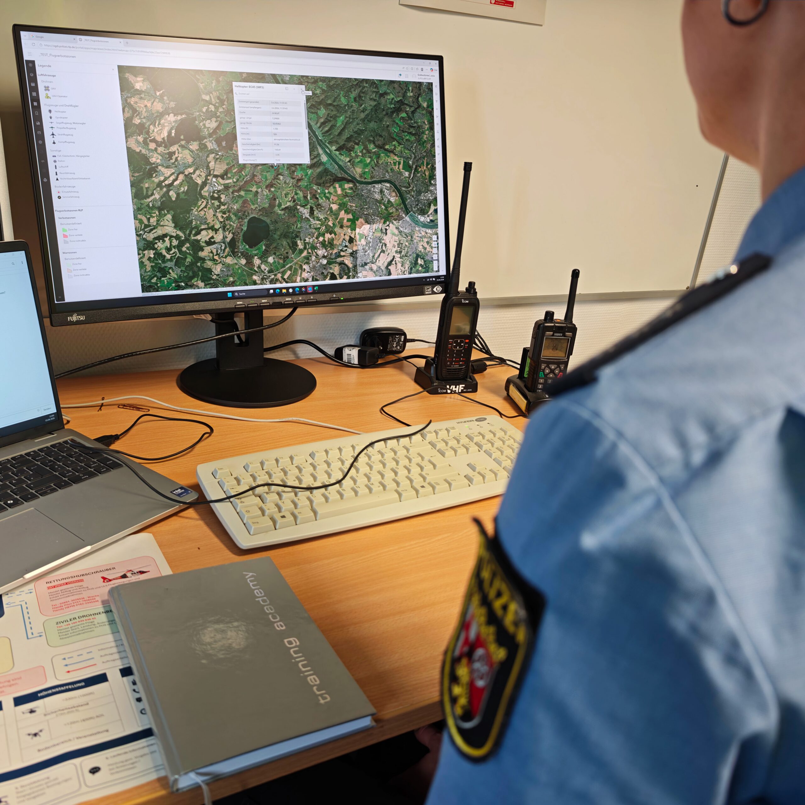
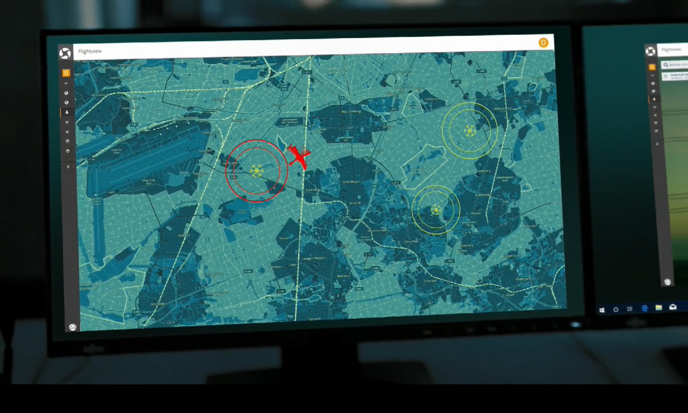
It compiles available information on air traffic and makes it available for various applications. With TraX , for example, the air situation can be visualized directly. Using VISX , air situation data can be made available as a raw data stream for integration into users’ own systems and applications.
Other technical components can provide additional location information. This allows individual pieces of information to be combined into a comprehensive situational picture, which makes relevant traffic in the surrounding area more transparent.
Why the air environment is particularly important for automated applications
As automation increases, so do the demands on the information available for flight operations.
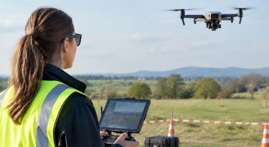
This applies, for example, to drone flights beyond visual line of sight, recurring automated flight routes, or other applications in which an aircraft moves through airspace in a largely automated manner.
In such scenarios, a comprehensive picture of the air situation can help to
- to identify relevant aviation stakeholders in the area,
- to incorporate their positions into one's own assessment of the situation,
- to make the position of one's own aircraft visible and
- to consolidate diverse information into a single, unified situational overview.
The air situation thus provides transparency regarding air traffic and serves as an important source of information for the safe integration of new applications into the existing airspace.
Aerial Wind Power: When a Kite Becomes Part of Air Traffic
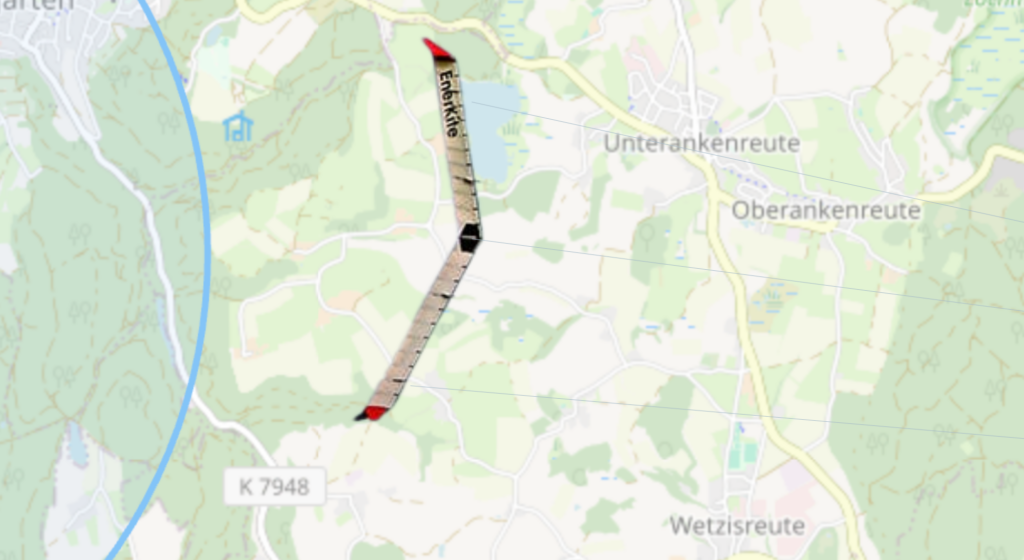
Our client demonstrates just how diverse these requirements have become EnerKíte.
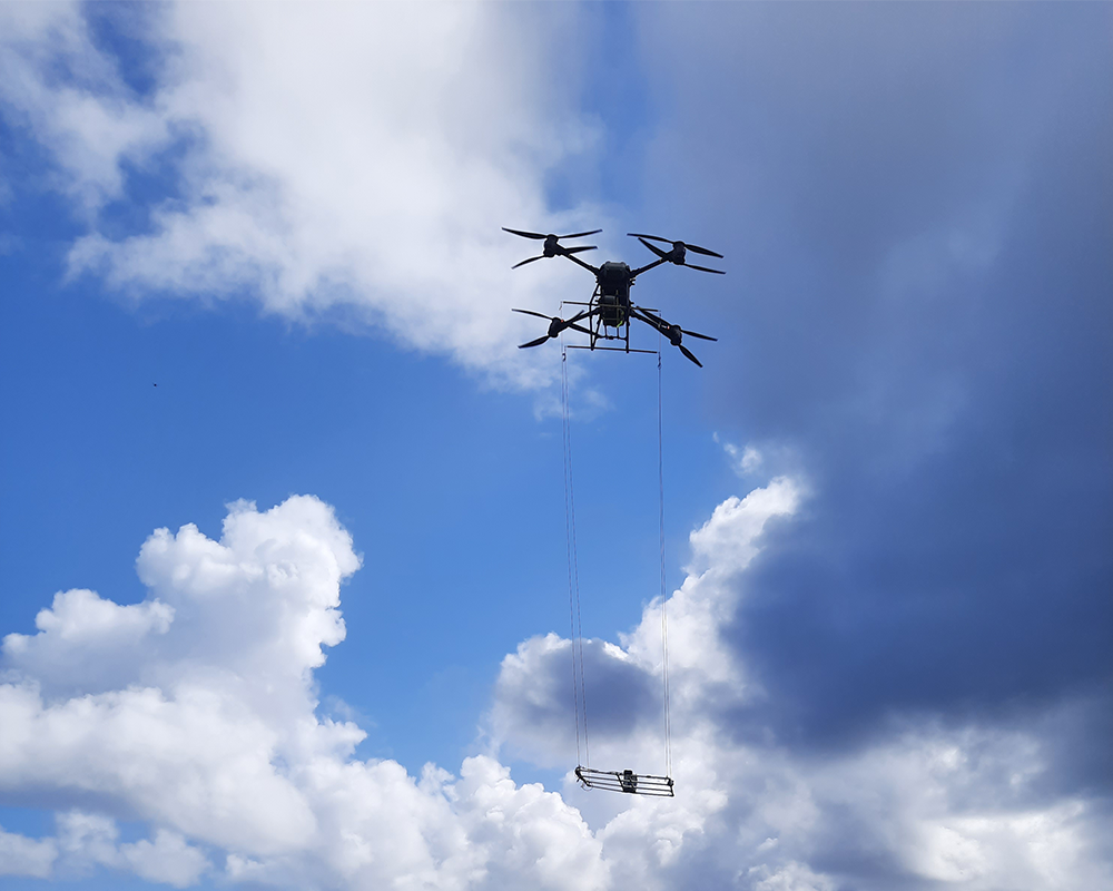
EnerKíte develops aerial wind turbines in which an automatically controlled kite harnesses high-altitude winds and transmits its pulling force to a ground station via cables. The energy is generated on the ground.
The kite operates at higher altitudes. For EnerKíte, therefore, it is not only important to know the kite’s own position. The kite must also be visible to other airspace users, while at the same time requiring as comprehensive a picture as possible of the surrounding air traffic.
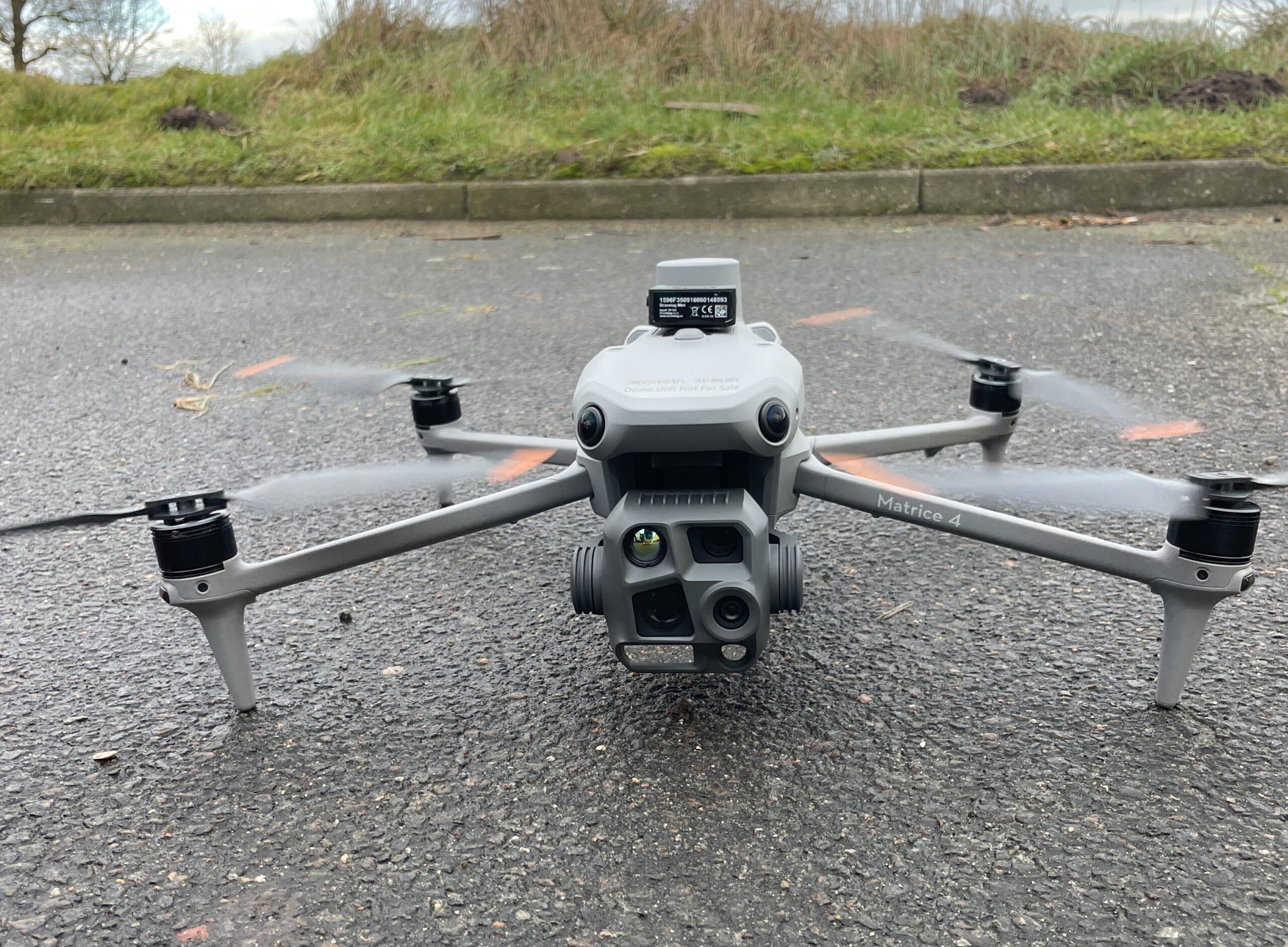
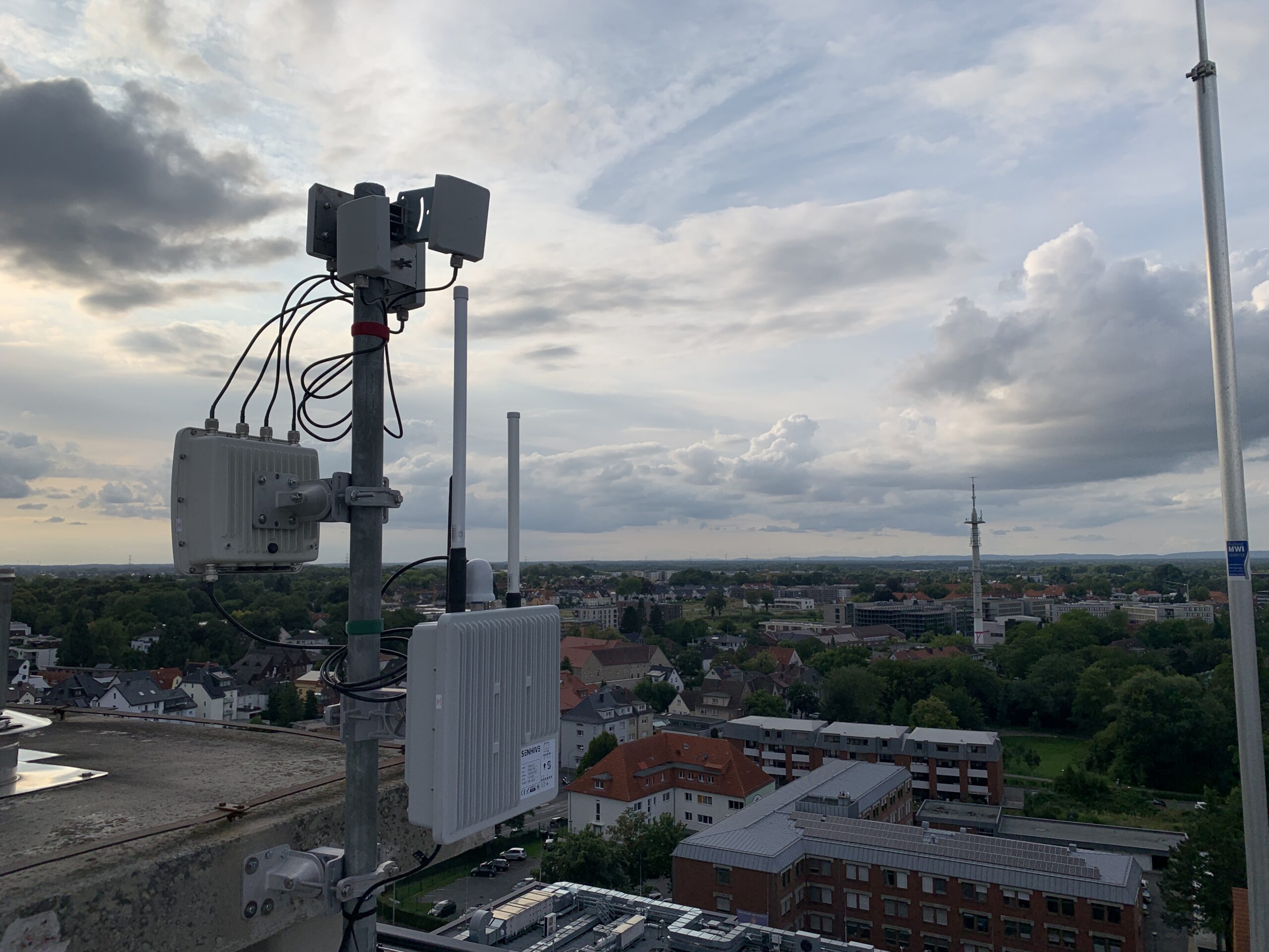
To achieve this, we combined various technical components: An Atom UAV Tracking Device from FLARM transmits the kite’s position. DroneConnect Ground also captures air traffic signals in the vicinity of the facility. The available position data is integrated into our live air situation display and combined there with additional air traffic information. Via TraX allows the air situation to be visualized, while VISX provides the data as a raw data stream for your own applications.
This creates a shared situational picture that takes into account both the kite's position and the relevant air traffic in its vicinity.
We demonstrate exactly how EnerKíte uses our solutions in the customer story “EnerKíte—Visibility and Air Situation for Aerial Wind Turbines.”

Transparency as the Foundation for Tomorrow's Airspace
The airspace near the ground continues to evolve. In addition to traditional air traffic participants, drones, automated applications, and new concepts such as aerial wind power are emerging.
Transparency plays a key role in ensuring that these different applications can function side by side. The goal is to make one’s own location visible while also obtaining relevant information about traffic in the surrounding area.
A comprehensive air situation picture integrates this information into a unified situational picture, thereby providing an important foundation for the integration of new applications into the airspace.