







Rules and limits for drone flights at a glance
Anyone who flies a drone - whether as a hobby or professionally - needs to know where drone flying is permitted and where it is not. The term "no-fly zones" is often used in this context. However, this term is misleading and the correct term would be "geographical areas with restrictions". These geographical areas are defined by law in order to protect sensitive areas such as airports, government properties, military installations or nature reserves. Violations of these legal requirements can be expensive - and in the worst case even have criminal consequences.
In this article, you will find out which geographical areas are open to drones, whether there are general restrictions on drone flights and how you can plan safely with the right map.
What are geographical areas for drones?
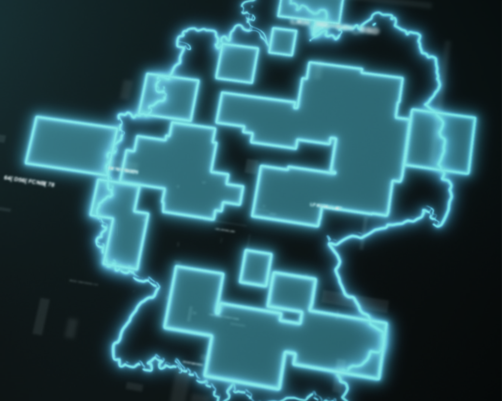
Geographical areas within the meaning of Section 21h Luftverkehrs-Ordnung (LuftVO) implement the requirements of Implementing Regulation (EU) 2019/947. They specify where drones may not be operated or may only be operated under certain conditions. These restrictions are primarily intended to:
- safety in air traffic
- the protection of people and sensitive facilities
- the preservation of the environment and wildlife
Where do geographical areas apply to drones?
In Germany, there are numerous areas that impose restrictions on drone operations, e.g:
- Airports may not be overflown, nor may one stay within 1 km of their boundaries; this also applies to a lateral distance of less than 1 km along the runway centerlines, which are extended by 5 km in both directions of approach and departure.
- Airfields and heliports - e.g. for rescue helicopters - may not be flown over; a lateral distance of 1.5 km from their boundaries must also be maintained.
- Crowds of people - for example at concerts, sporting events or shopping streets when stores are open
- Above nature conservation areas - further and often more restrictive local regulations also apply to the nature conservation area concerned
- In the vicinity of sensitive infrastructure - e.g. railroad tracks, federal highways and federal waterways
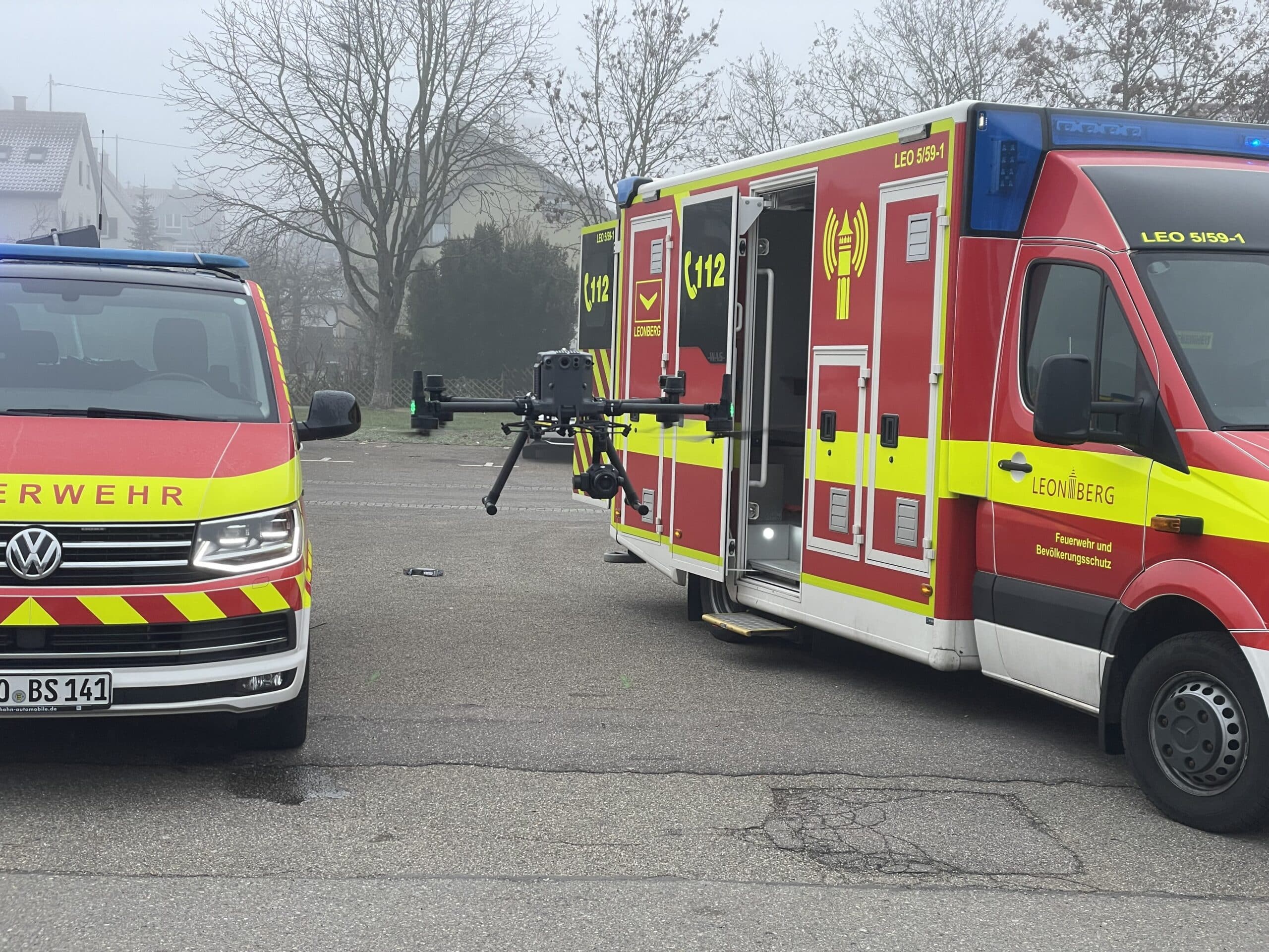
- Above military installations and federal authorities - additionally also above accident sites and deployment sites of authorities and organizations with security tasks as well as above mobile facilities and troops of the armed forces as part of registered manoeuvres and exercises
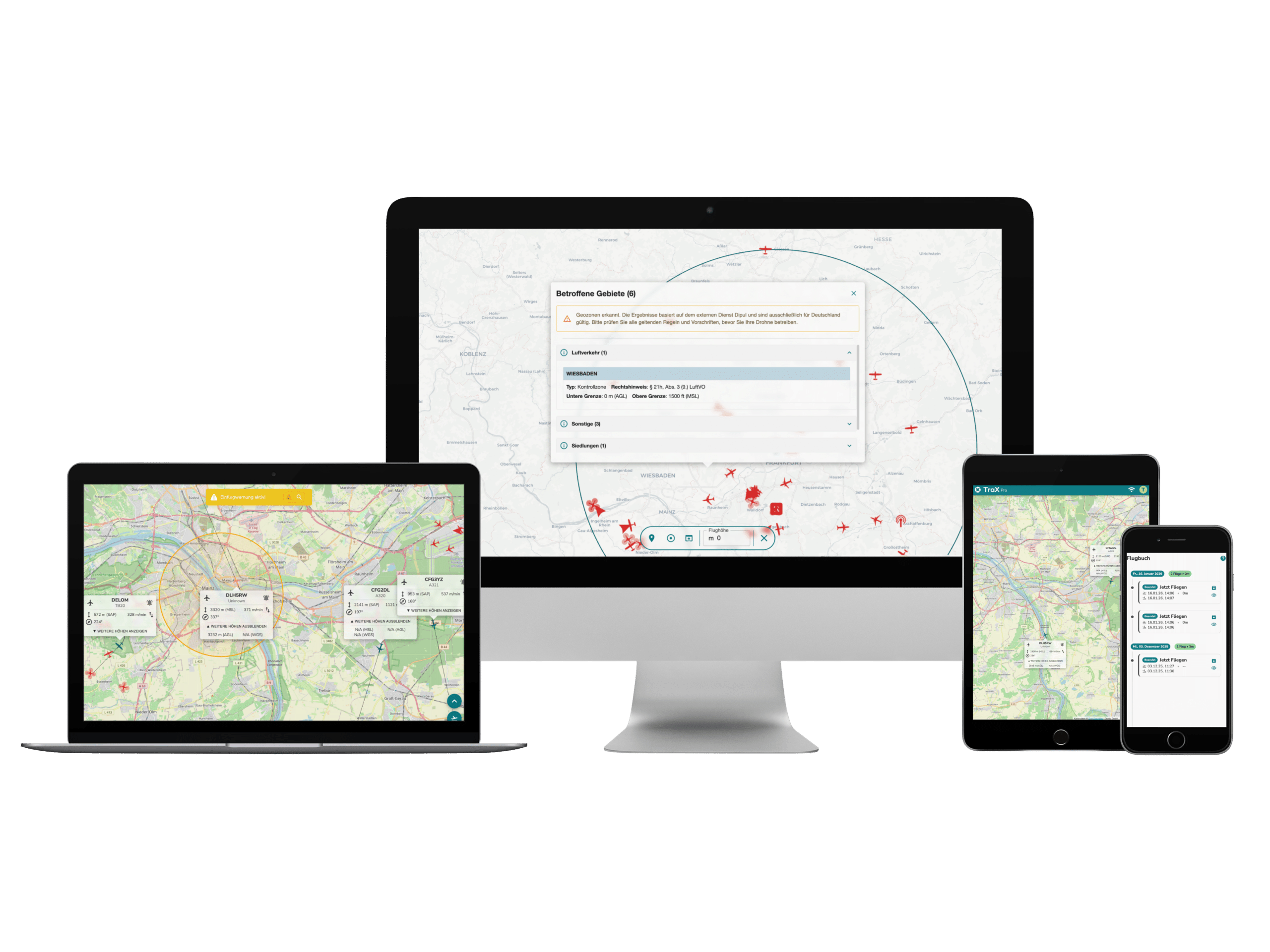
- In control zones - for many civilian control zones there is already a general air traffic control clearance that allows VLOS operation of the drone up to 50 m
- There are also temporaryno-fly zones (so-called NOTAM - Notice to Airmen), for example during state visits or major events.
"No-fly zone" myth - what drone pilots really need to know
There is often talk of fixed, general "no-fly zones" for drones - but strictly speaking, these do not exist. As described above, there are clear restrictions on the operation of drones. However, these bans can be limited in time or lifted under certain conditions with a special permit.
This means that instead of rigid no-fly zones, different rules apply depending on the place, time and situation. One example is bird sanctuaries, which are specially protected during the breeding season, or temporary flight restrictions during major events.
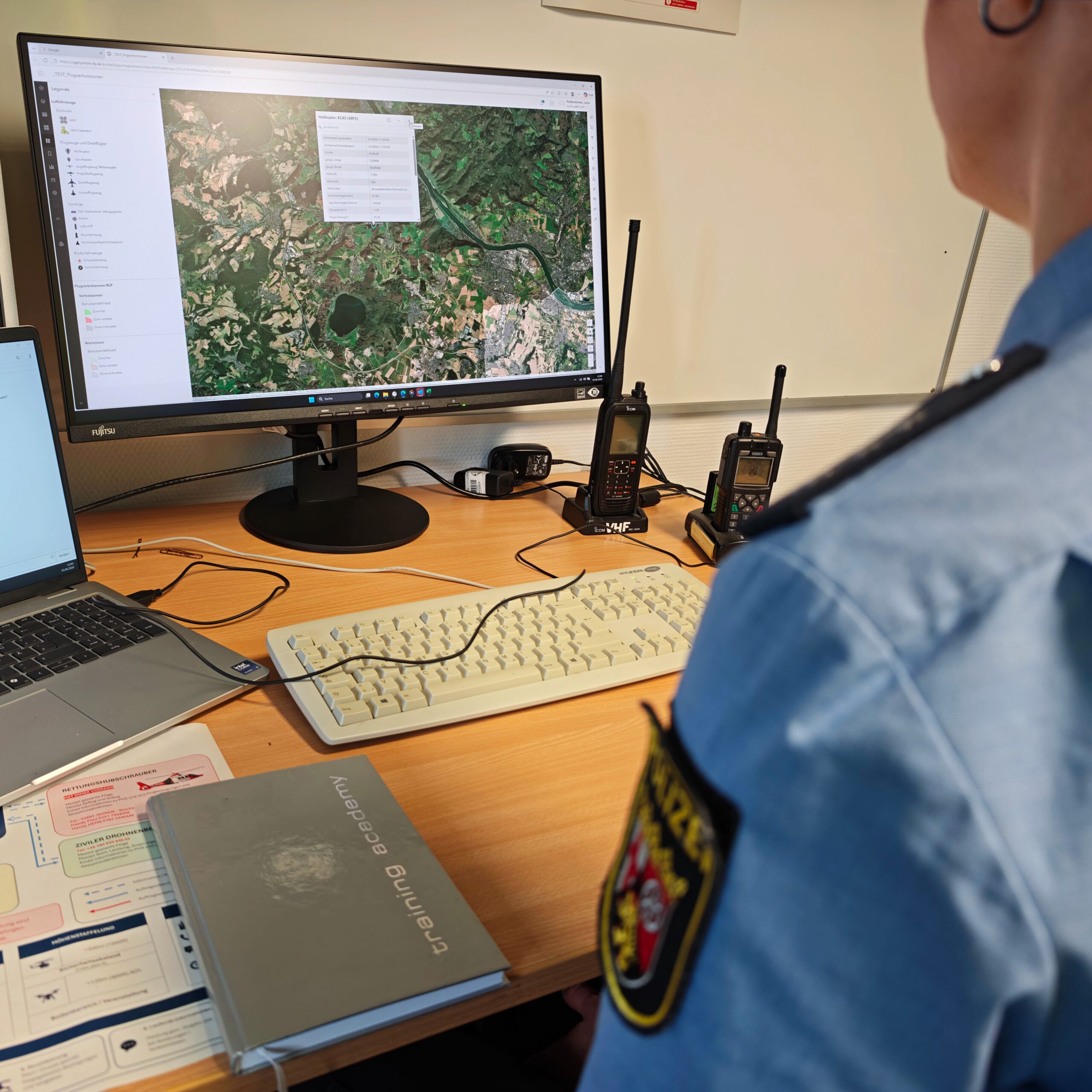
For drone pilots, this means that it is mandatory to check the current airspace information before every flight - for example via official airspace apps or geoportals. This is the only way to ensure that operations remain safe and legally compliant.
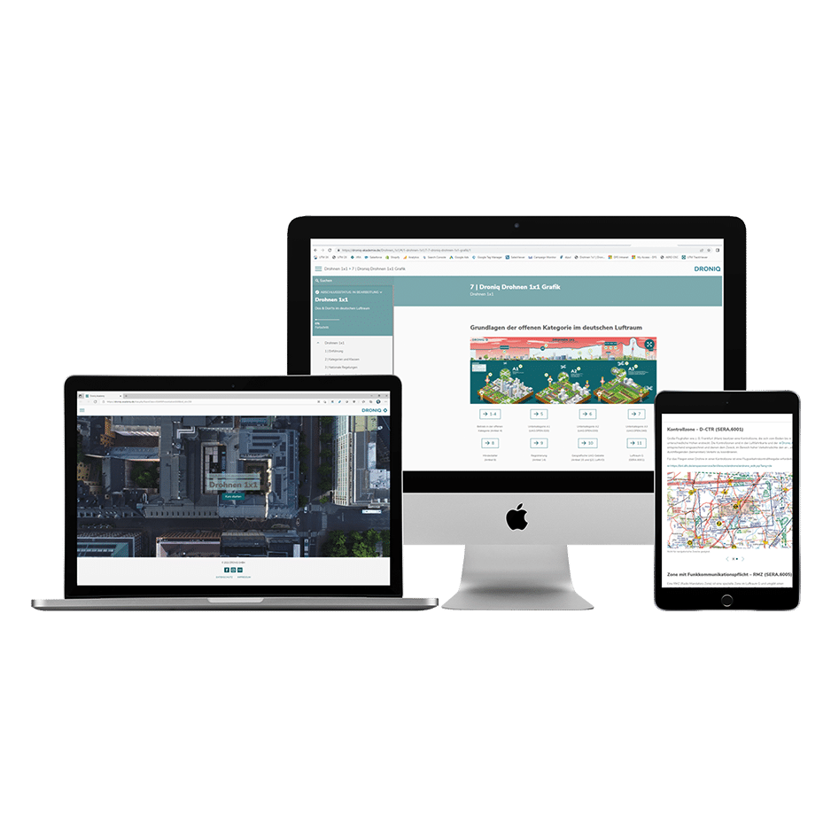
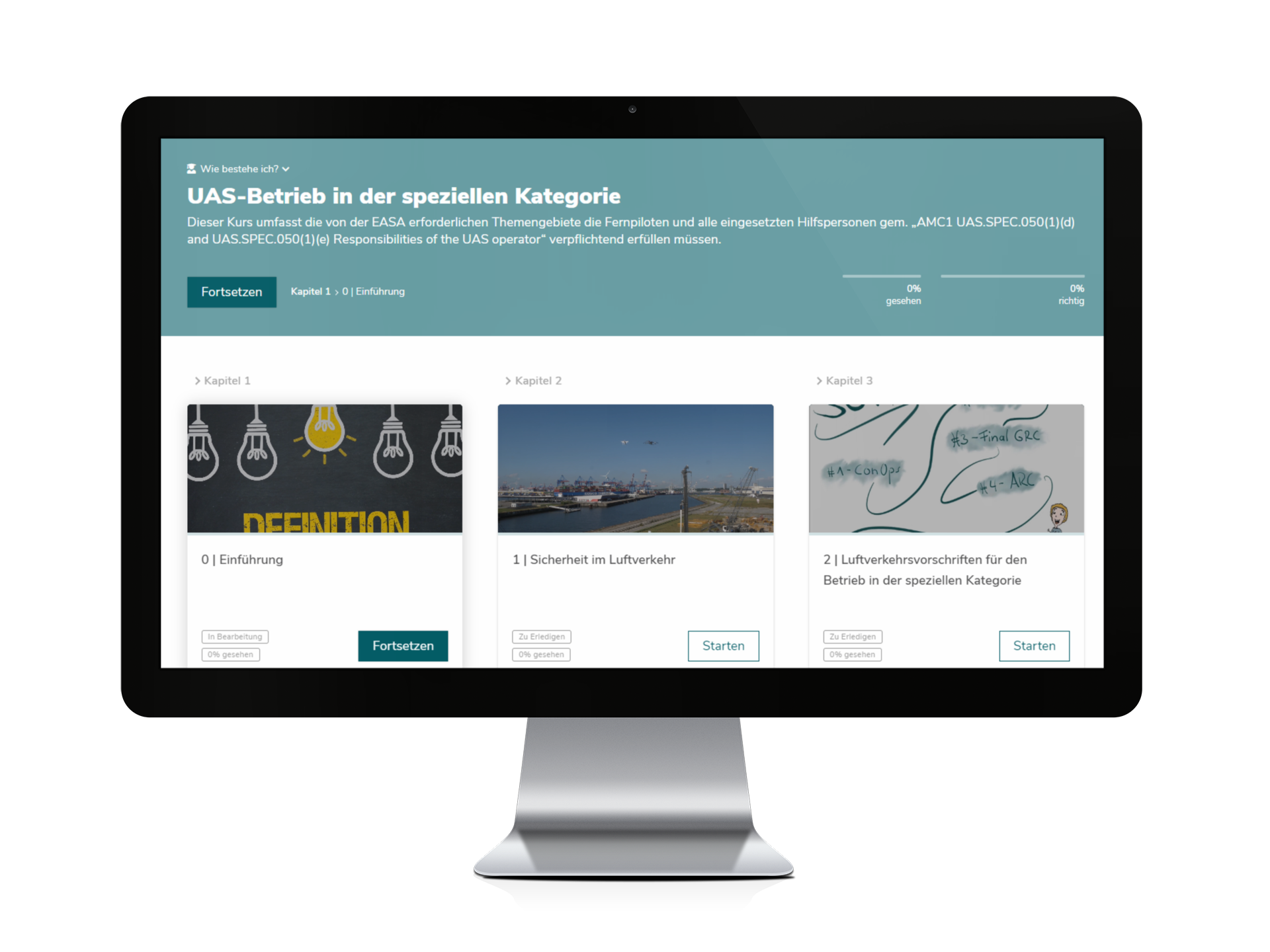
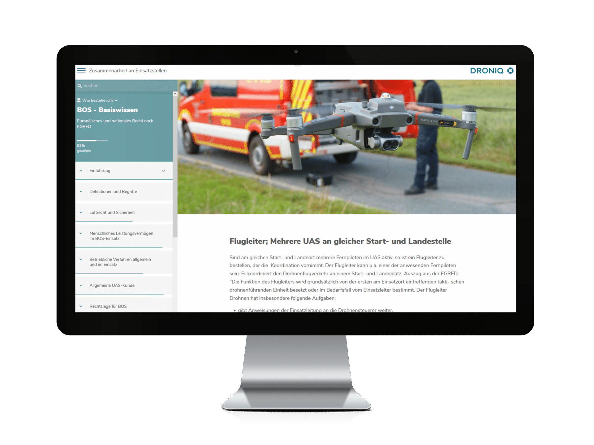
If you want to refresh or deepen your basic knowledge as a drone pilot, our free Drone 1×1 online training course a compact and practical introduction. It is also ideal as a preparation or supplement for training in the open categories A1/A3 and A2 - and therefore the perfect basis for the EU drone license.
Which map is suitable for viewing geographical areas?
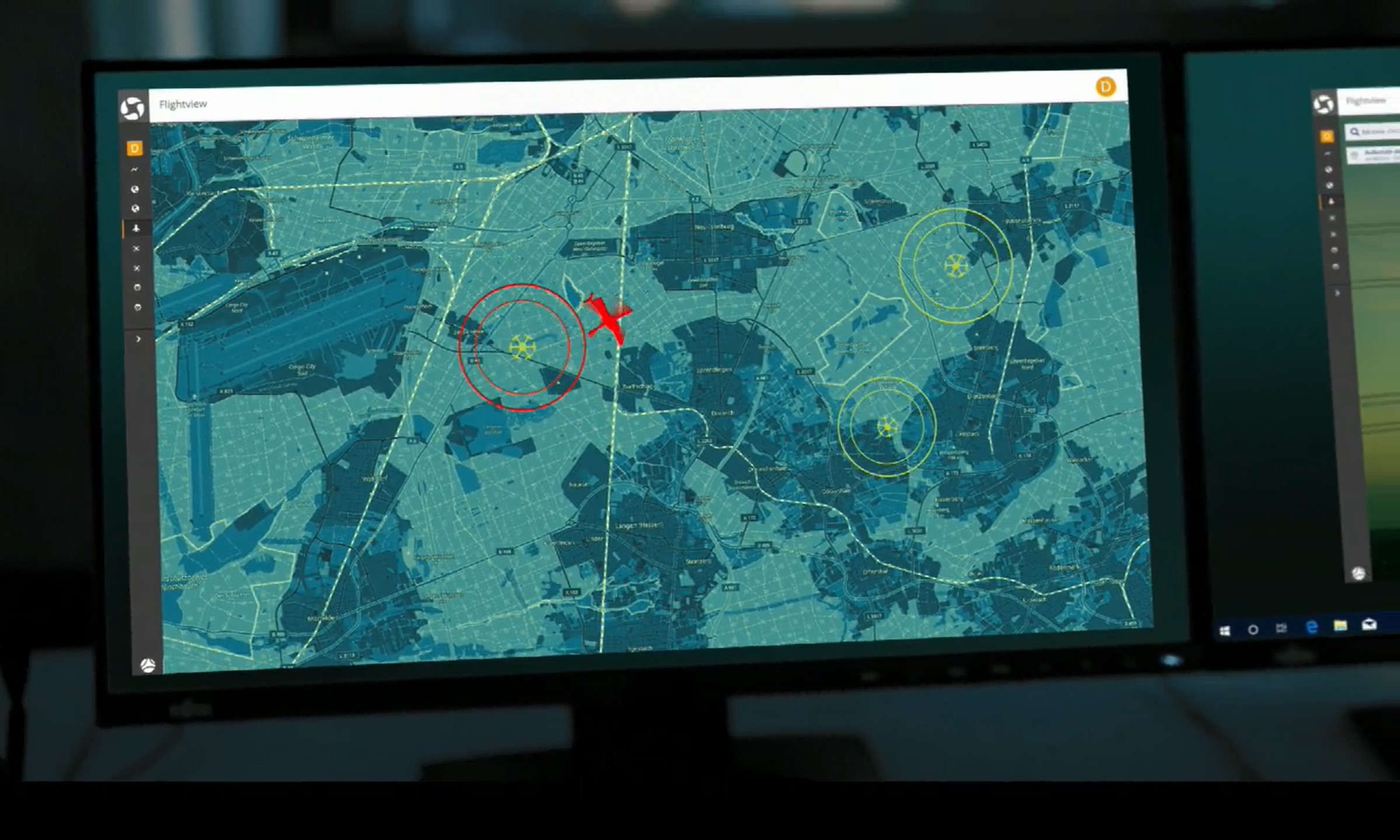
If you want to fly safely, you should check the current situation before every take-off. Our solution for drone pilots in Germany: Droniq Maps.
Advantages of Droniq Maps:
- Contains all the geographical UAS areas published by the Ministry of Transport
- Validation according to drone classes A1-A3
- Display of current aeronautical messages (NOTAM)
- Display of current local weather data
- Simple operation - can also be used on mobile devices and optimized for smartphones
Conclusion: anyone who flies a drone bears responsibility
Drone pilots bear responsibility for safety, data protection and nature conservation. With Droniq Maps, you can plan every flight with legal certainty and avoid expensive fines.