































An incident with far-reaching consequences
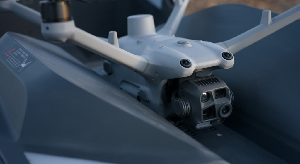
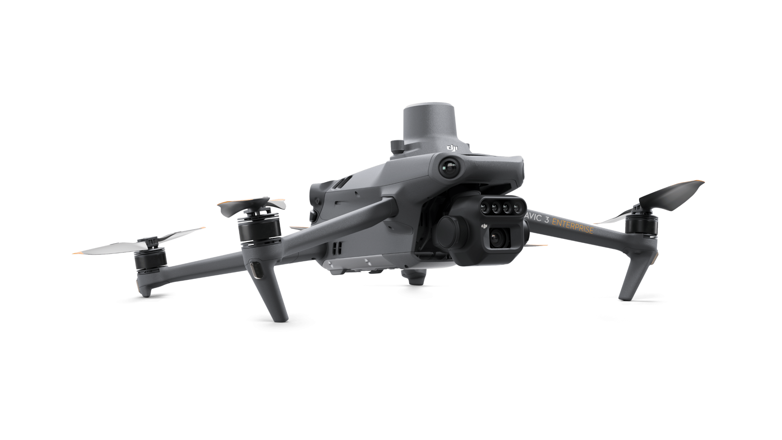
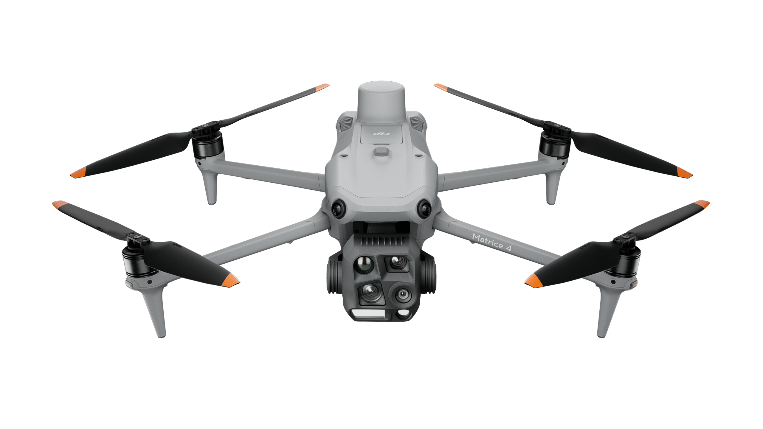
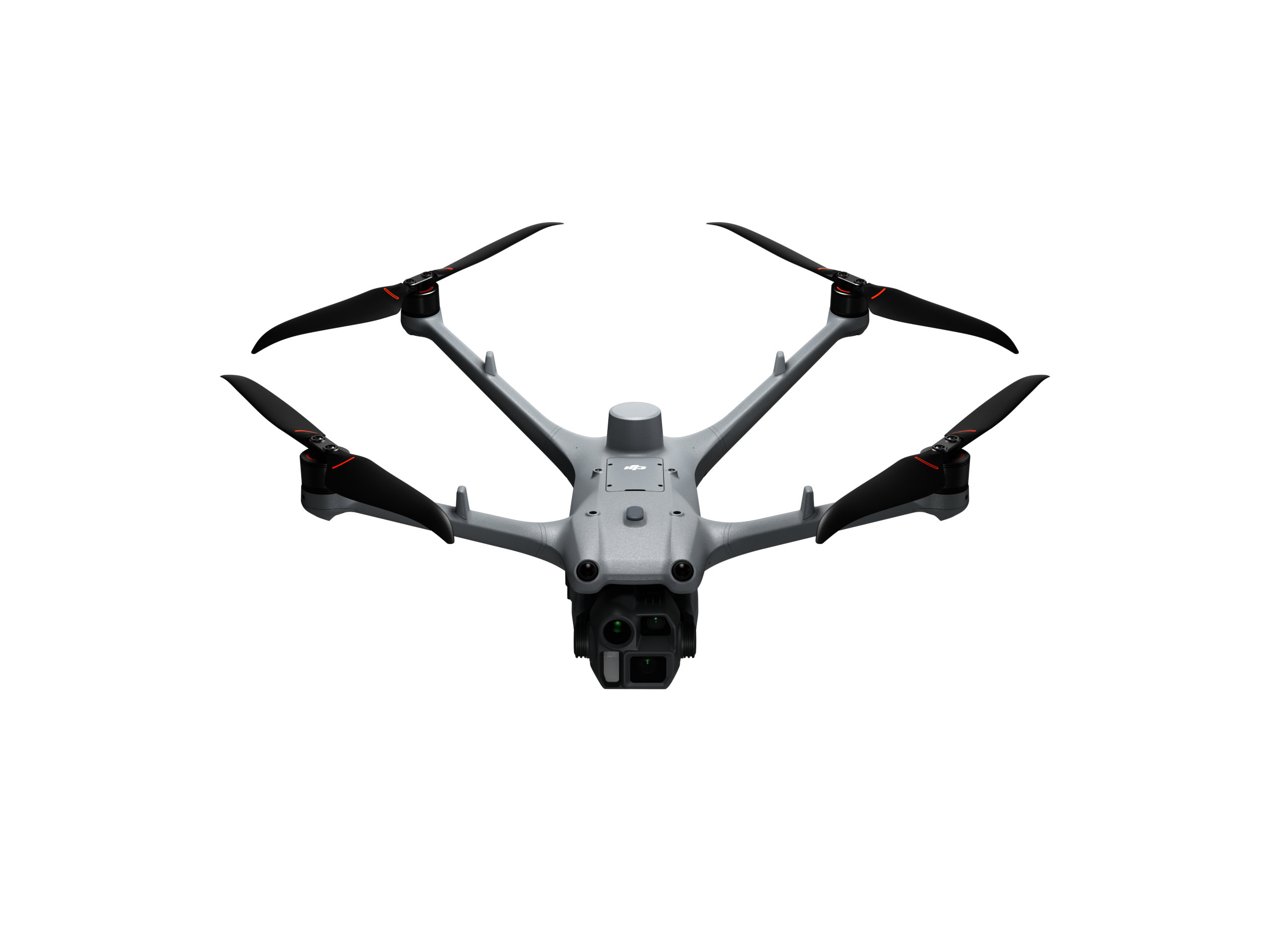
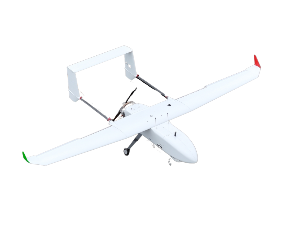
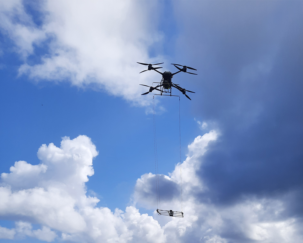
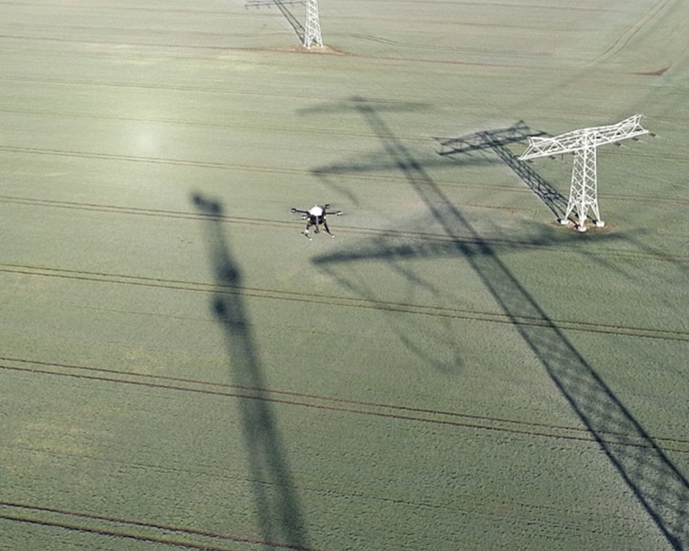
The recent incident at Leipzig/Halle Airport has once again demonstrated just how significant the impact of individual drone incidents can be. According to reports, the discovery of a drone and a suspicious object led to extensive security measures and restrictions on flight operations.
The investigation is ongoing. Regardless of the specific outcome of the case, however, it is clear that drones today not only offer opportunities for businesses, government agencies, and infrastructure operators, but also pose new security challenges for sensitive areas.
Because when drones appear in critical zones, one thing matters above all else:
Being able to quickly identify, assess, and respond appropriately.
The key question: What is in the airspace?
Whether it's an airport, a power plant, an industrial facility, a logistics center, or a major event: Those in charge need information as early as possible about what activities are taking place in the airspace.
The initial focus here is not on evaluating a situation, but on transparency:
- Is there a drone in the monitored area?
- Where is she going?
- Is this a scheduled flight?
- Is there any additional information available about the drone or its pilot?
Without this information, there is often no basis for a well-founded assessment of the situation.
Drone Detection as a Component of Modern Security Strategies
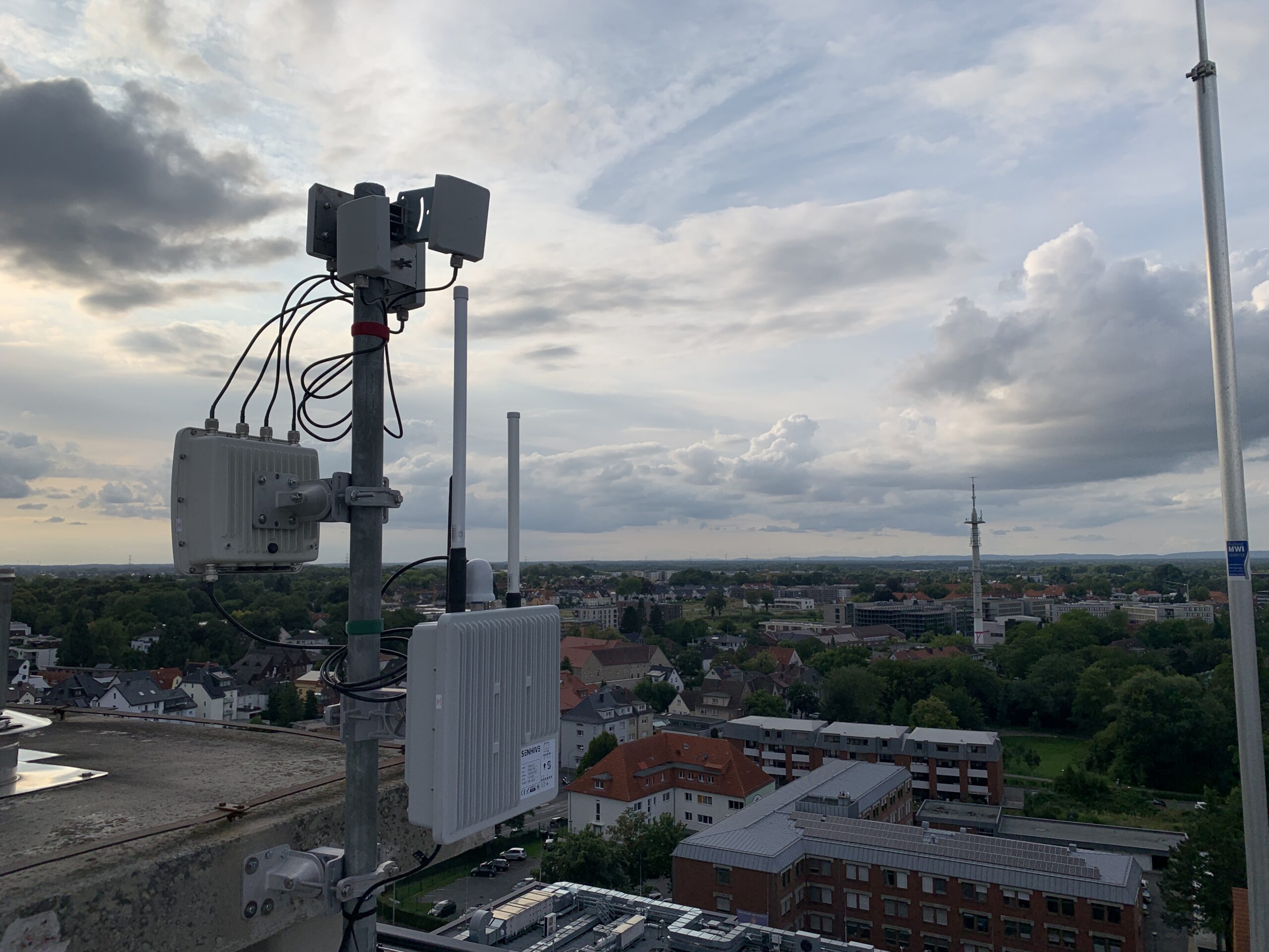
Modern drone detection systems help critical infrastructure operators, government agencies, and security officials identify drone activity.
The focus here is not on defense, but on providing as comprehensive a picture of the situation as possible.
Detected drone activity can, for example:
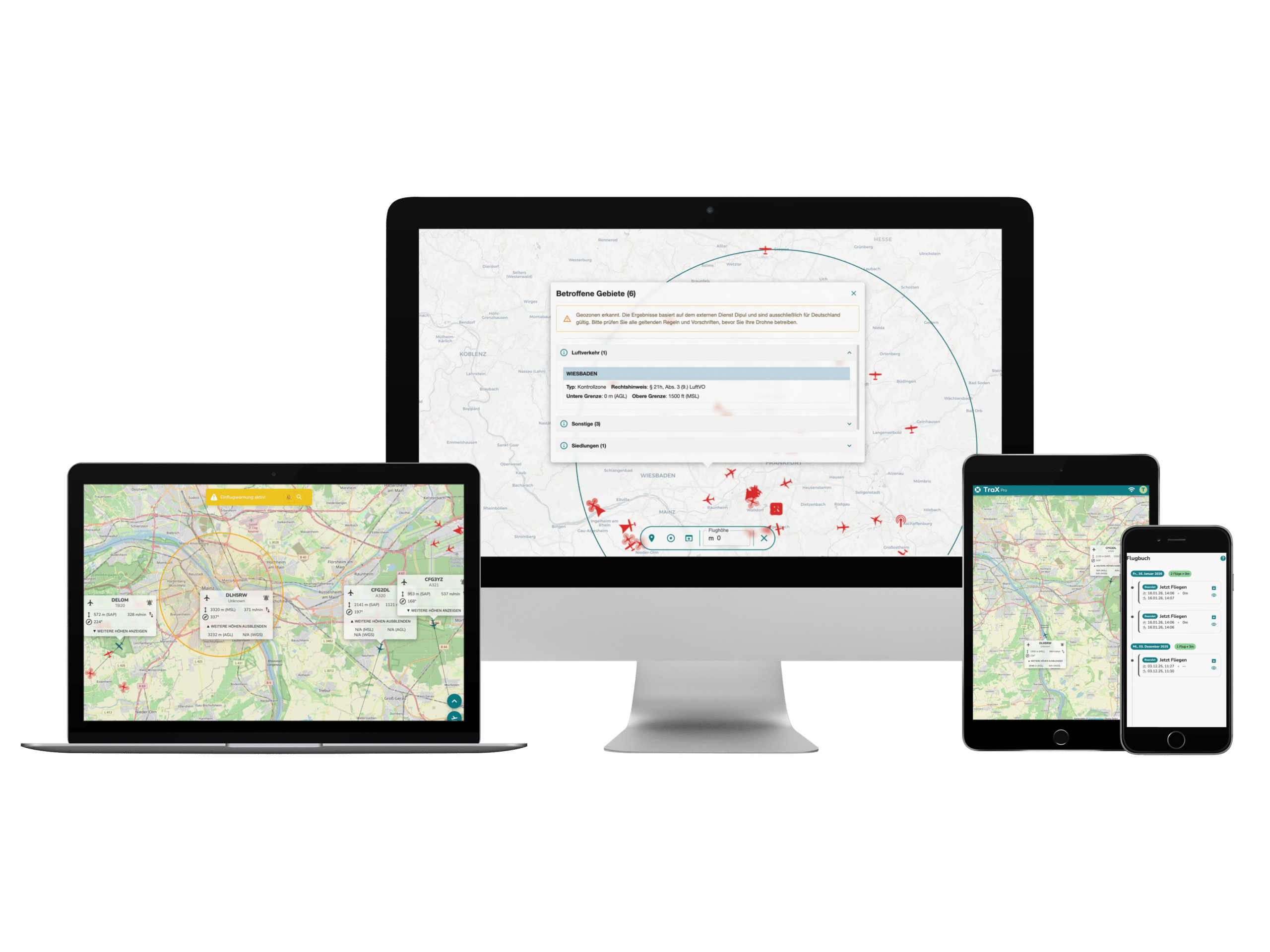
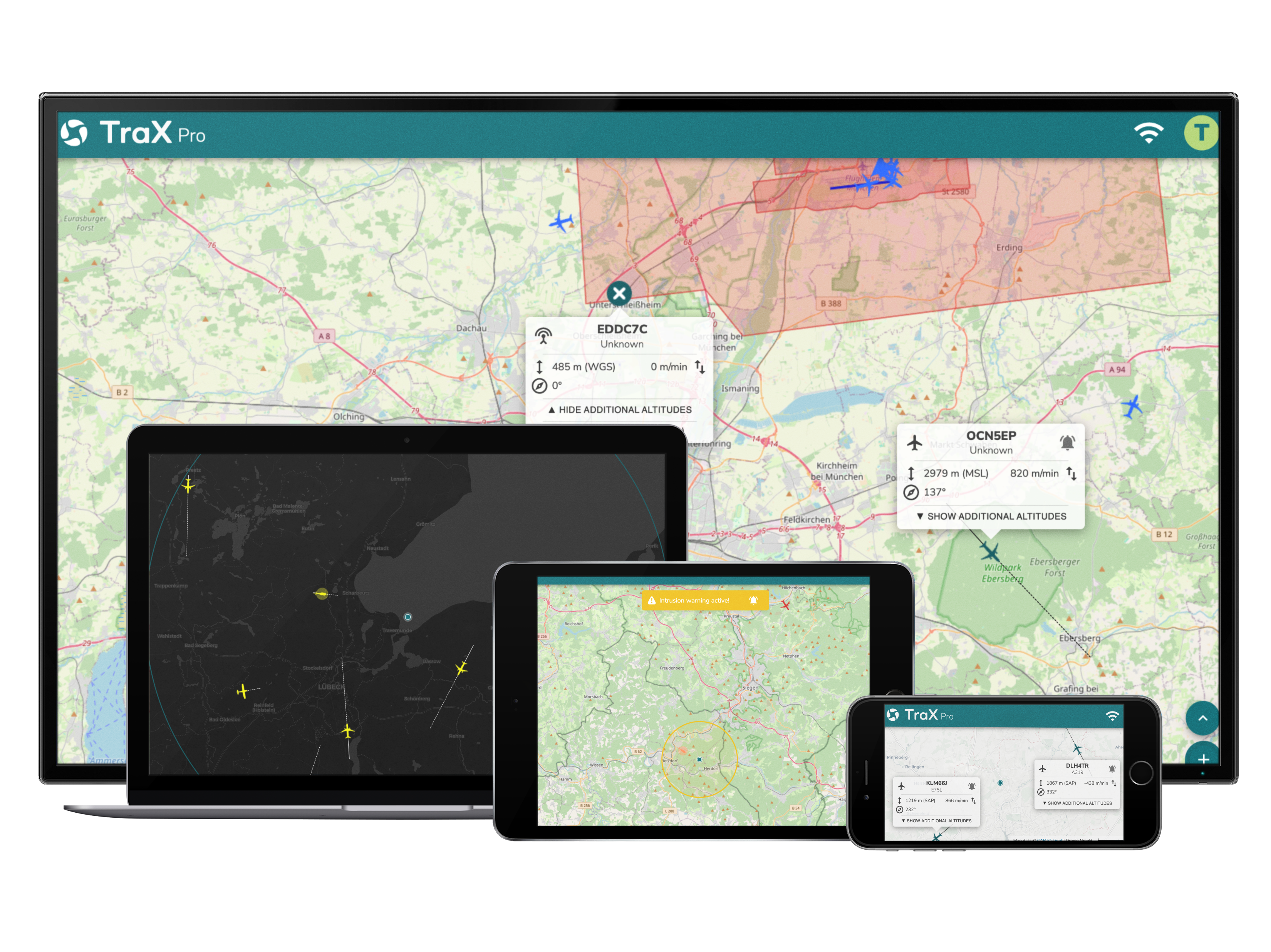
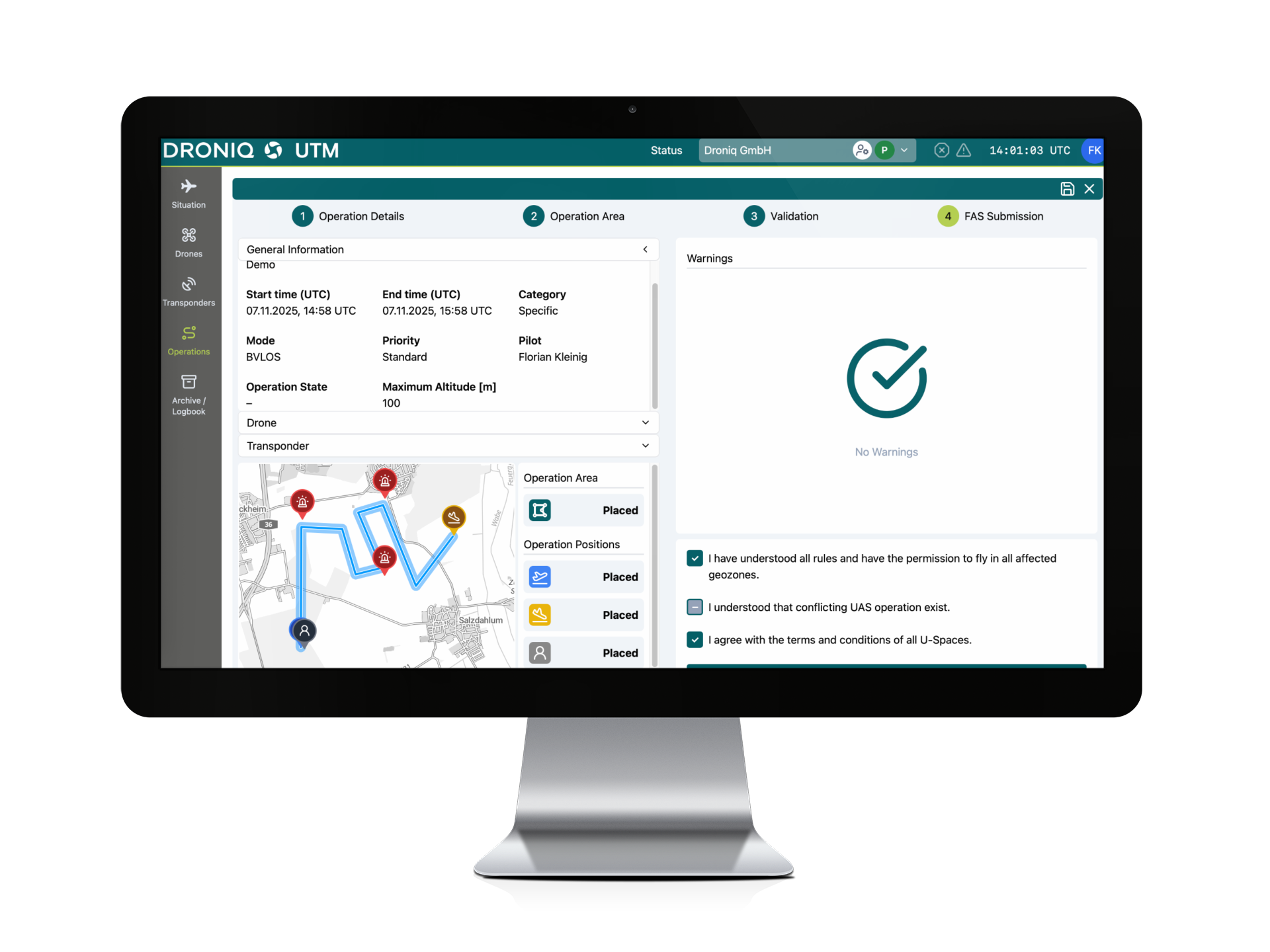
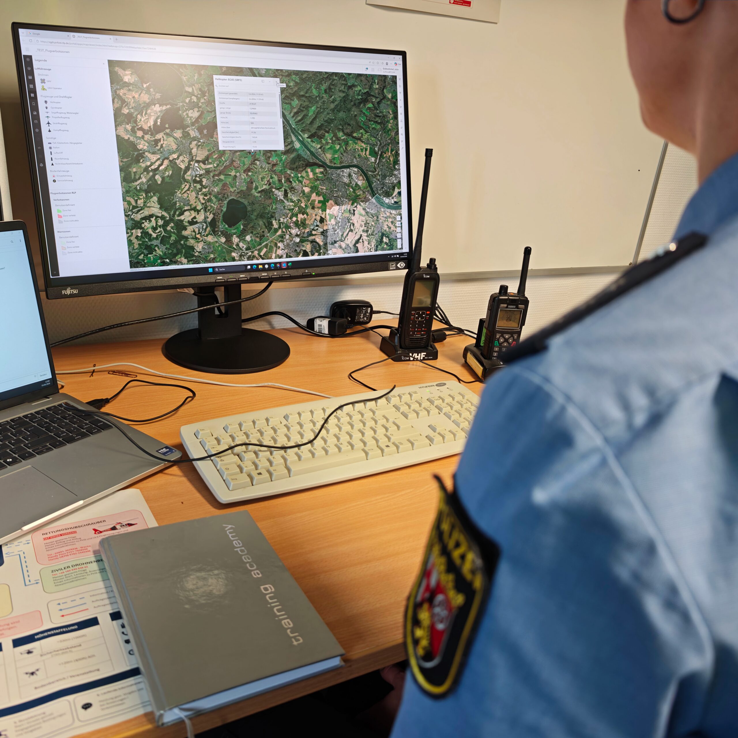
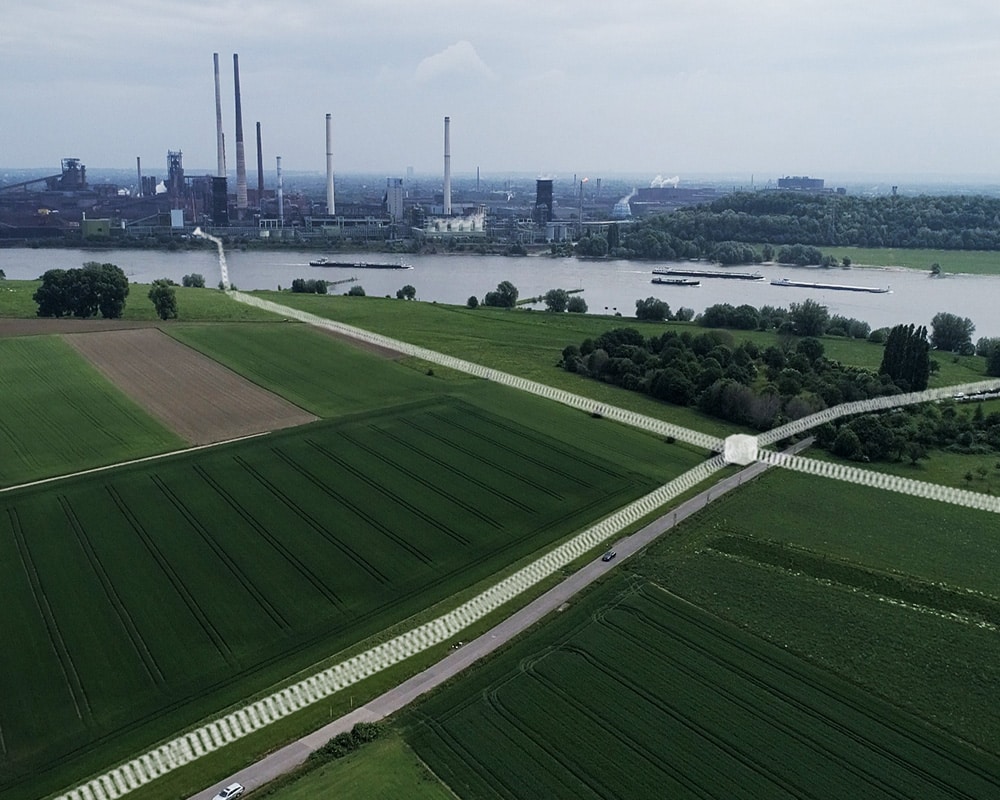
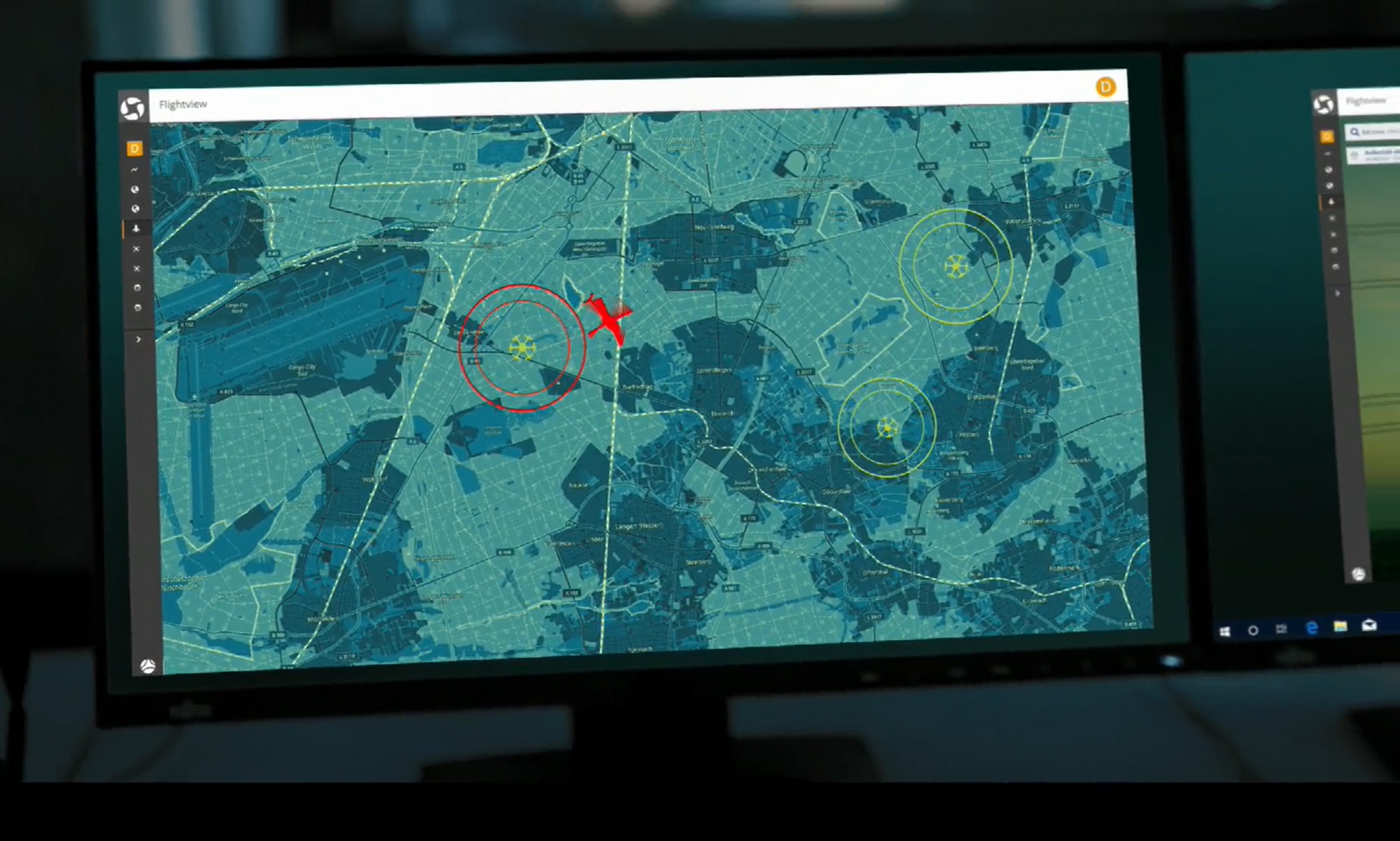
- be visualized on digital maps
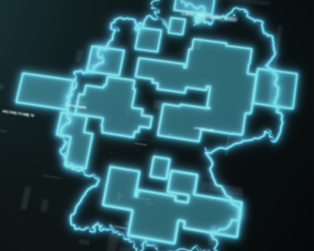
- be compared with defined protection or monitoring zones
- Trigger notifications automatically
- be documented and analyzed
This enables those in charge to assess situations more quickly and take the necessary action.
How MyZone Detection Helps
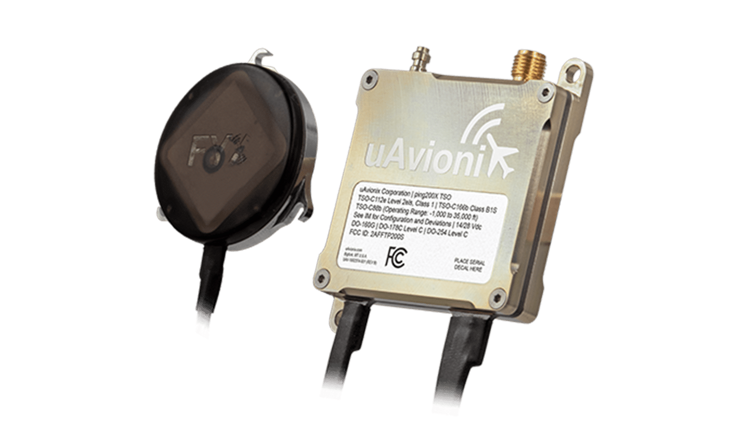
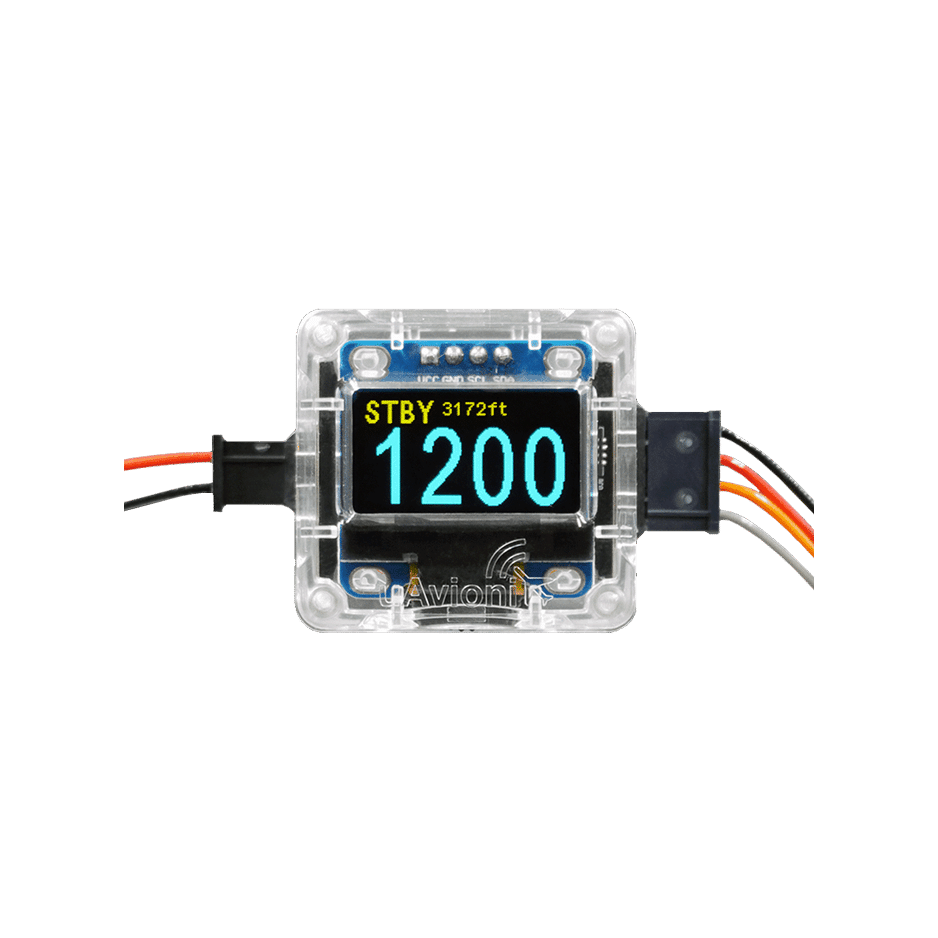
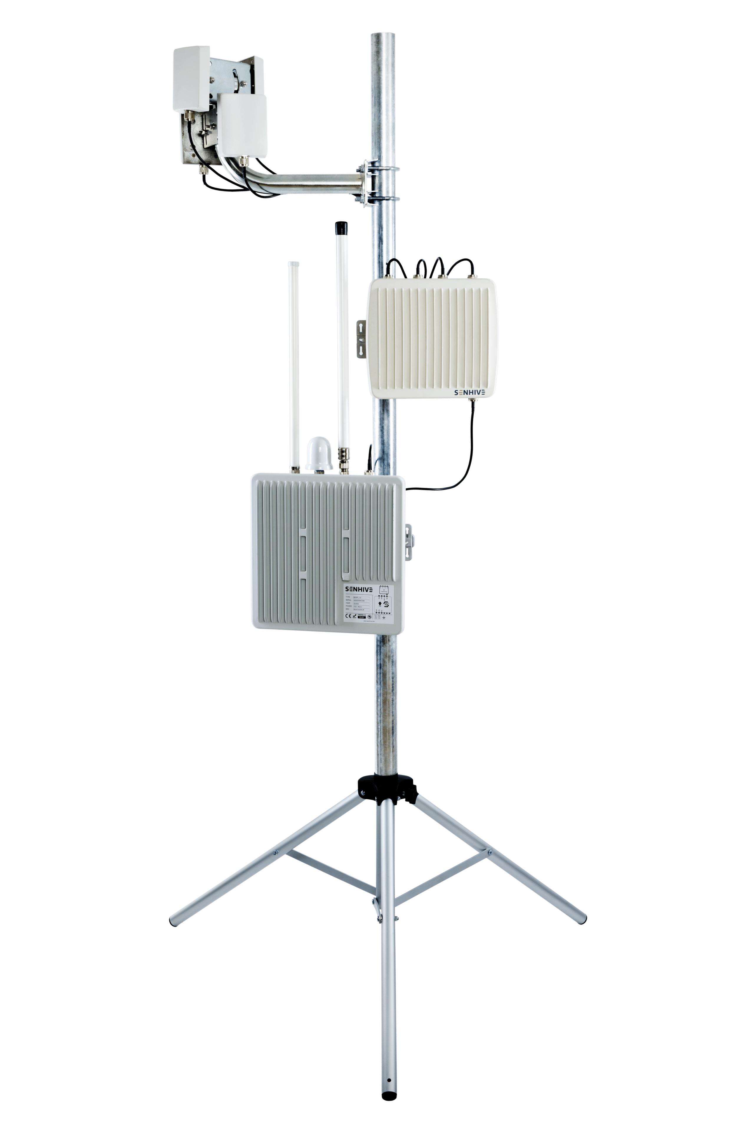
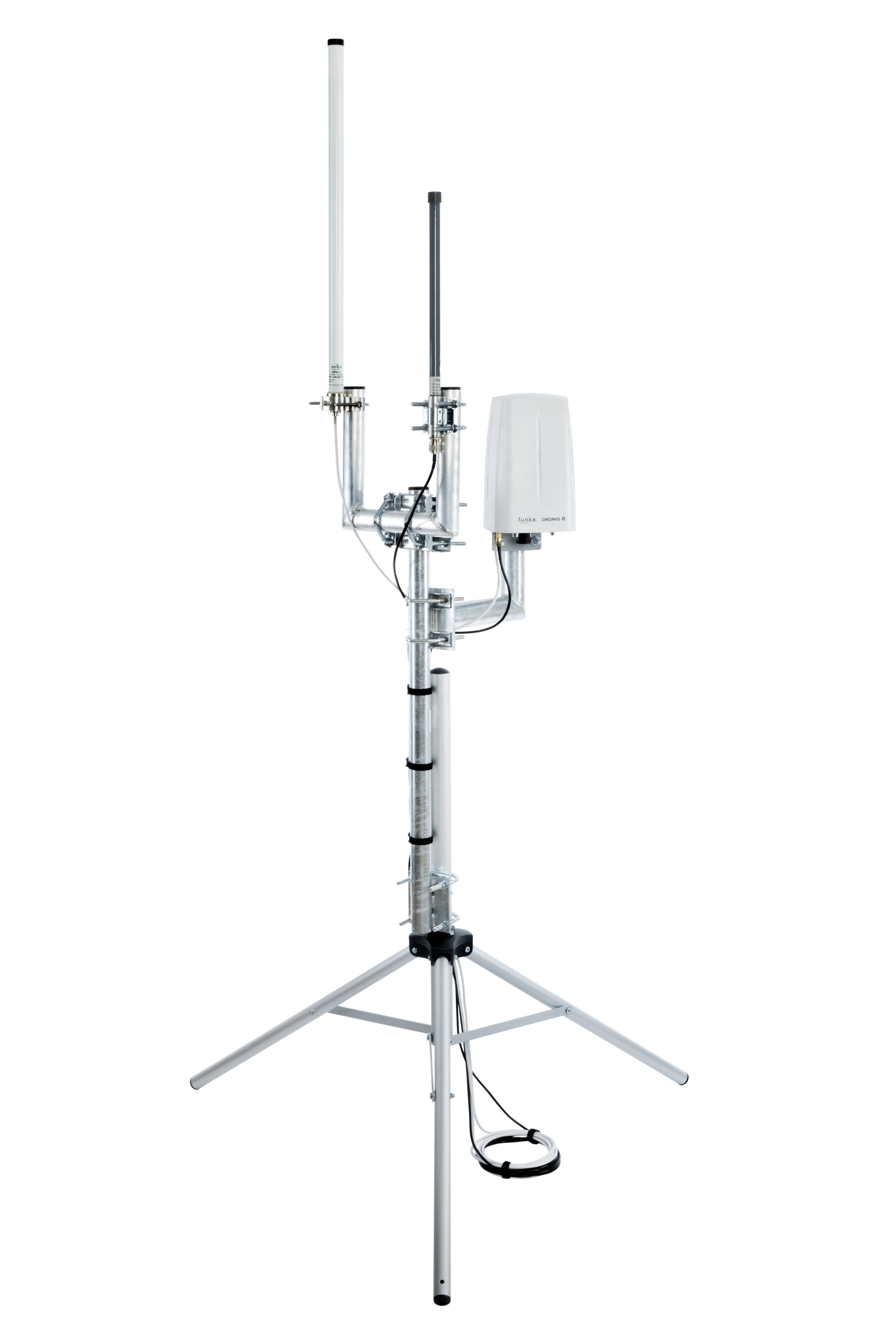
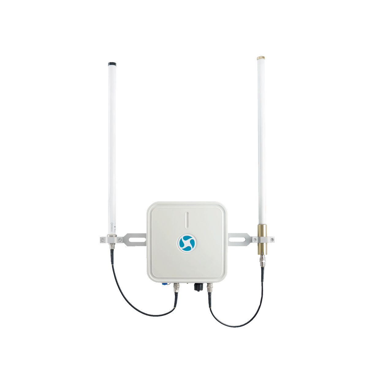
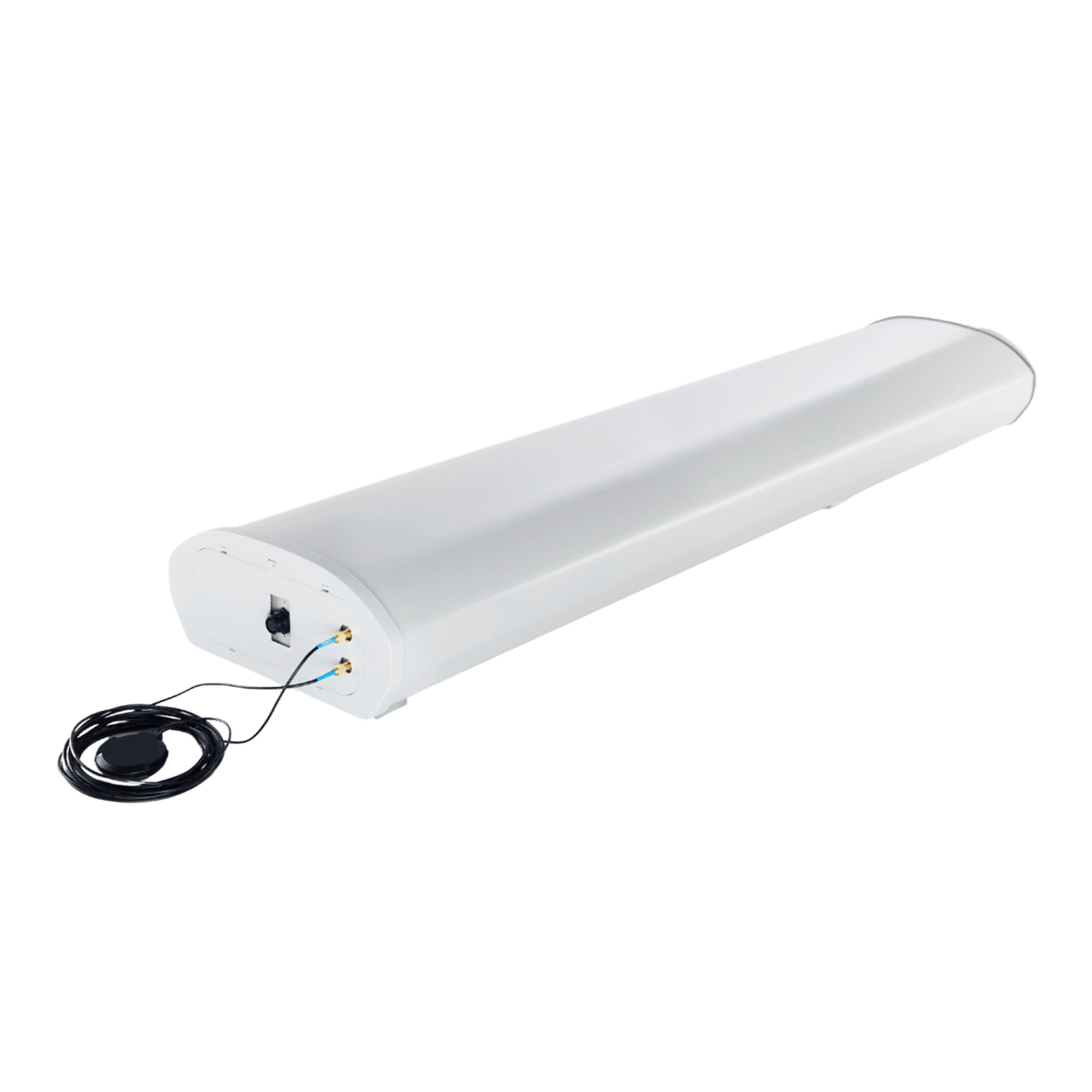
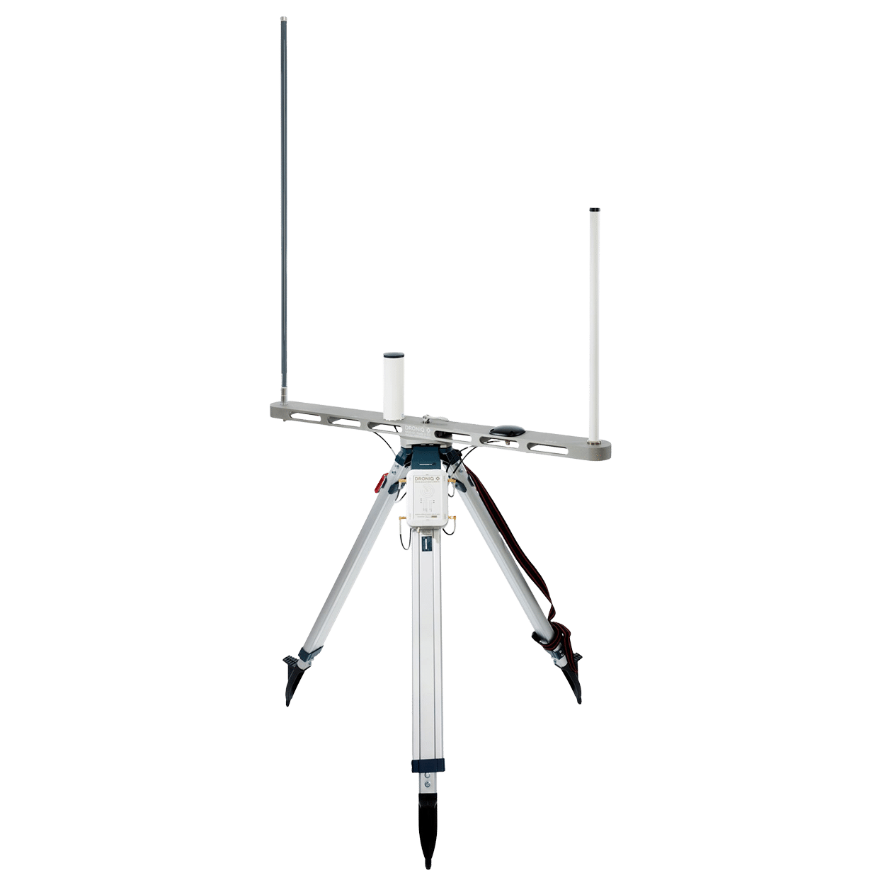
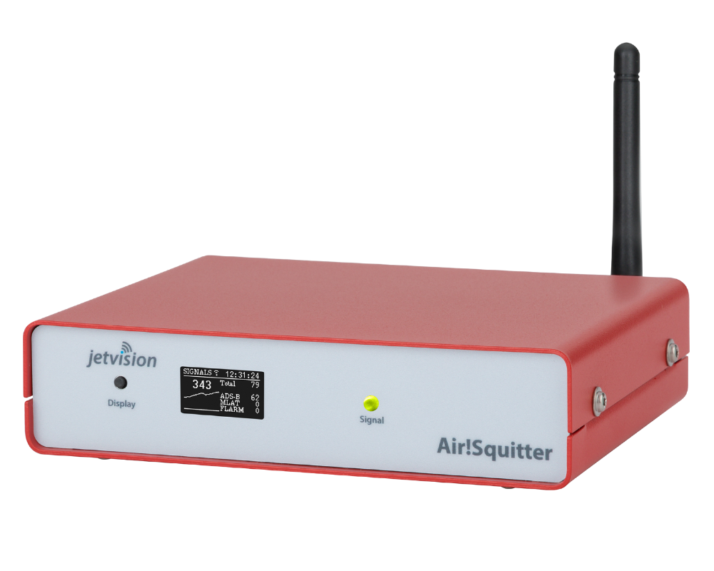
With MyZone Detection, Droniq provides a solution for monitoring defined areas.
The platform enables the detection of drone activity and helps ensure transparency in airspace. This provides operators of critical infrastructure, local governments, security agencies, and companies with a more comprehensive overview of activities within their areas of responsibility.
Features include, among others:
- Monitoring of defined areas
- Live Display of Drone Activities
- Alerts for Relevant Events
- Historical Evaluations and Analyses
- Integration into existing security and control center systems
The goal: to provide decision-makers with the information they need to assess the situation.

Safety Starts with a Clear Overview
The use of drones is growing steadily. At the same time, the demands on operators of critical infrastructure, government agencies, and companies to maintain an overview of activities in airspace are increasing.
Recent events show just how important transparency and a reliable picture of the situation have become. After all, only those who understand the situation can make informed decisions.
Stay on top of things. Right where it counts.
Learn more about MyZone Detection
Would you like to learn how MyZone Detection can be used to monitor sensitive areas?