






































"Advanced Air Space Mapping" Project
Three years of research and development in the ADAM (Advanced Air Space Mapping) project are entering their final phase. At the closing event in Kamenz, the project partners presented their findings and demonstrated how high-resolution map data can contribute to the safe and scalable use of drones in lower airspace in the future.
The project focuses on the question of how high-resolution 3D maps can be used to improve the operational safety of unmanned aircraft systems (UAS) and simplify their certification. The solutions developed are intended to contribute to the further automation of drone flight and the integration of UAS into airspace.
High-resolution map data for safe drone flights
The ADAM project focuses on mapping lower-altitude airspace using drone-based sensor data. AI-powered data analysis and precise positioning are used to create georeferenced and annotated voxel maps.
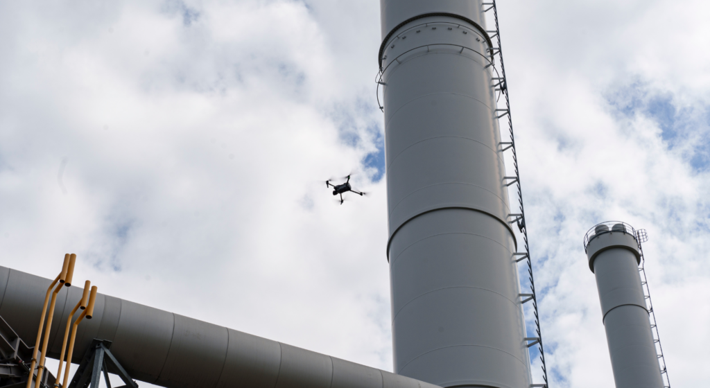
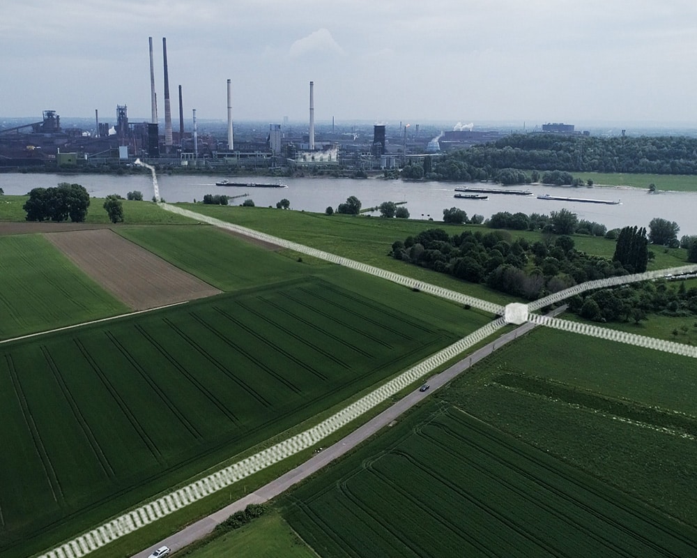
Among other things, the project developed methods for sensor data fusion and AI-based annotation of voxel maps. Based on newly acquired, high-precision voxel maps, automated flight demonstrations beyond visual line of sight—known as BVLOS (Beyond Visual Line of Sight) flights—are also part of the project.
From Map Data to U-Space: Droniq's Contribution
For high-resolution map data to provide real added value to drone operators, it must be made available for flight planning and execution. This is precisely where Droniq’s contribution to the ADAM project comes in.
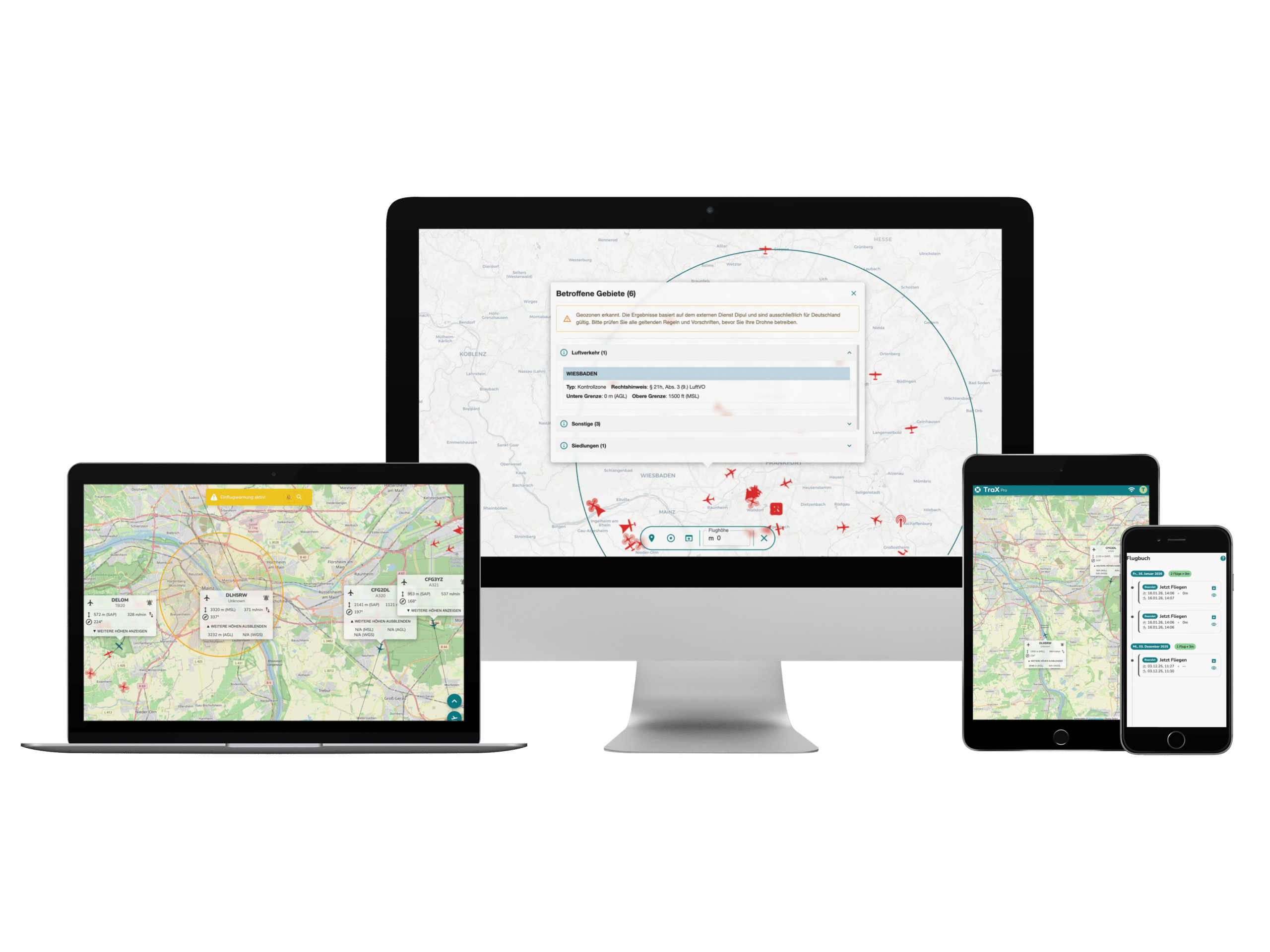
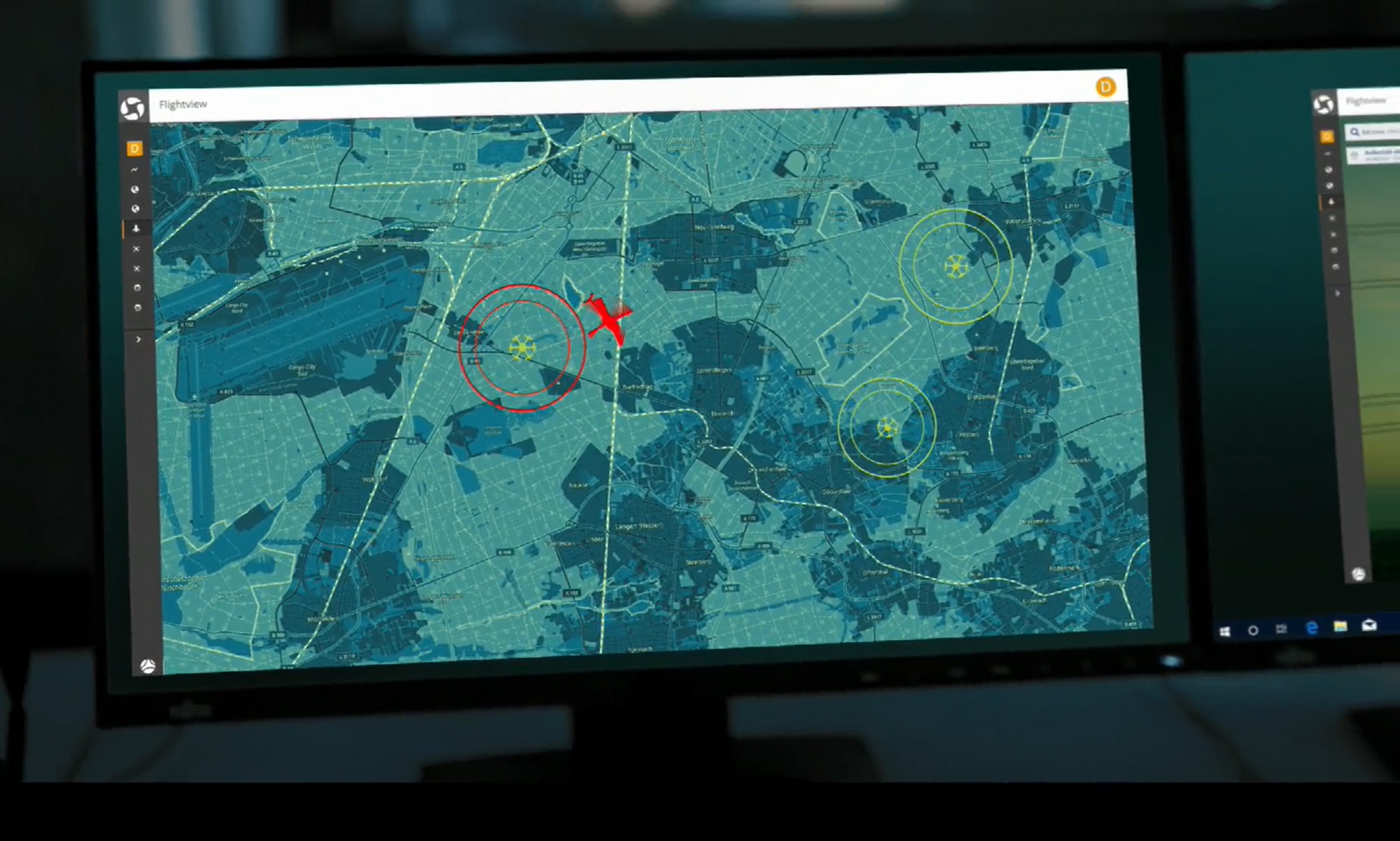
Droniq focuses in particular on providing voxel maps to drone operators. To this end, the company investigated the systemic and practical requirements arising from an expansion of the Geo-Awareness Service and how these can be implemented.
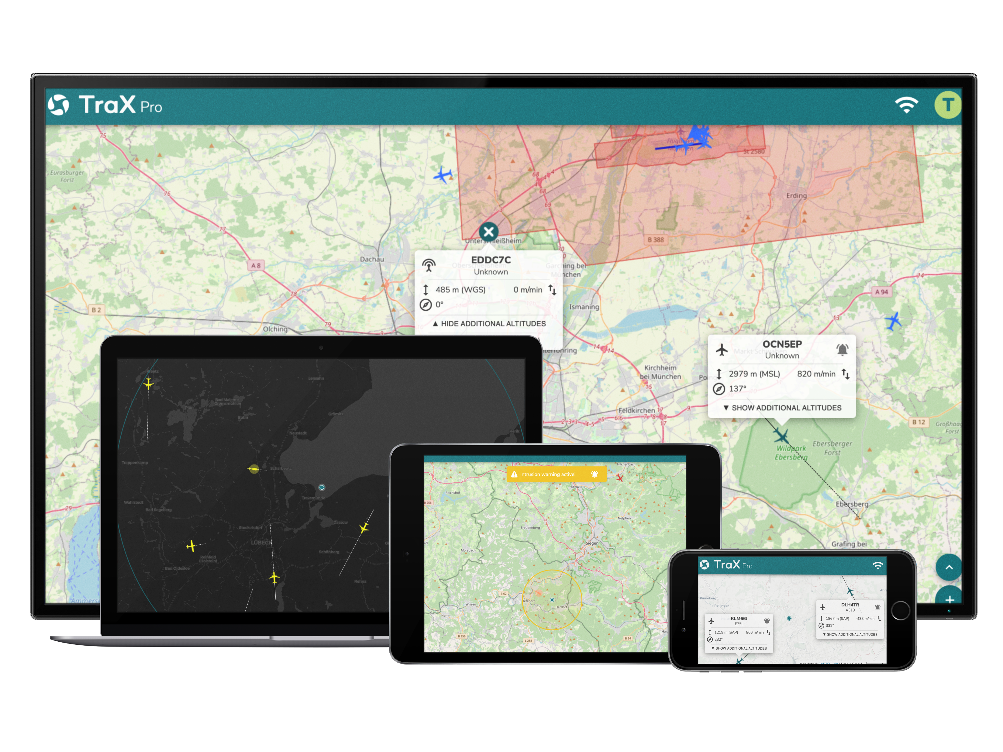
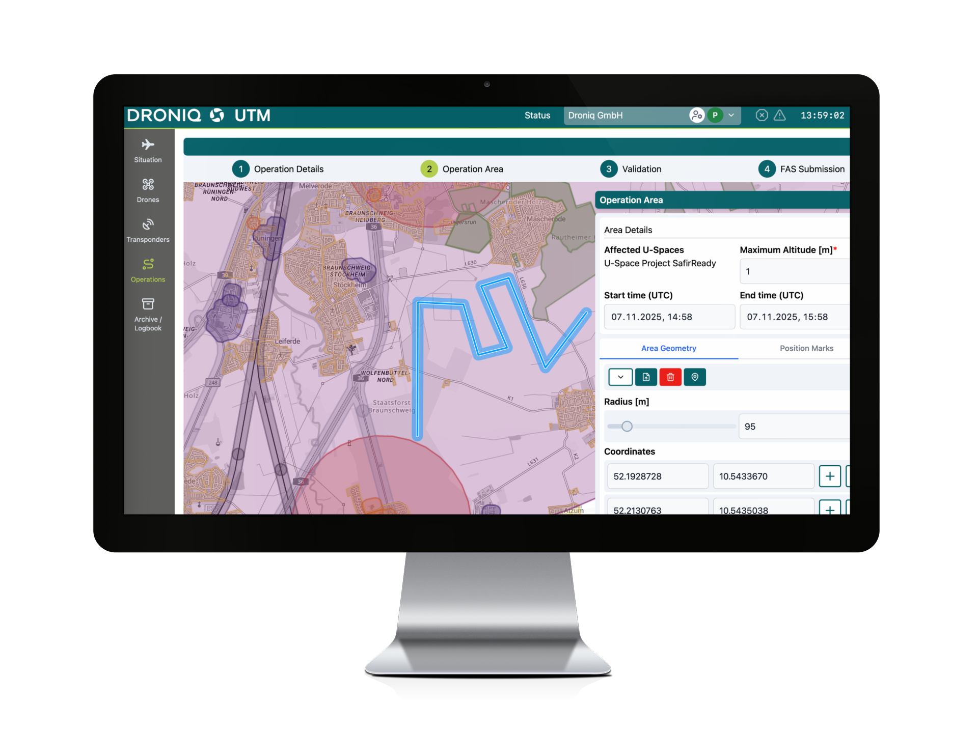
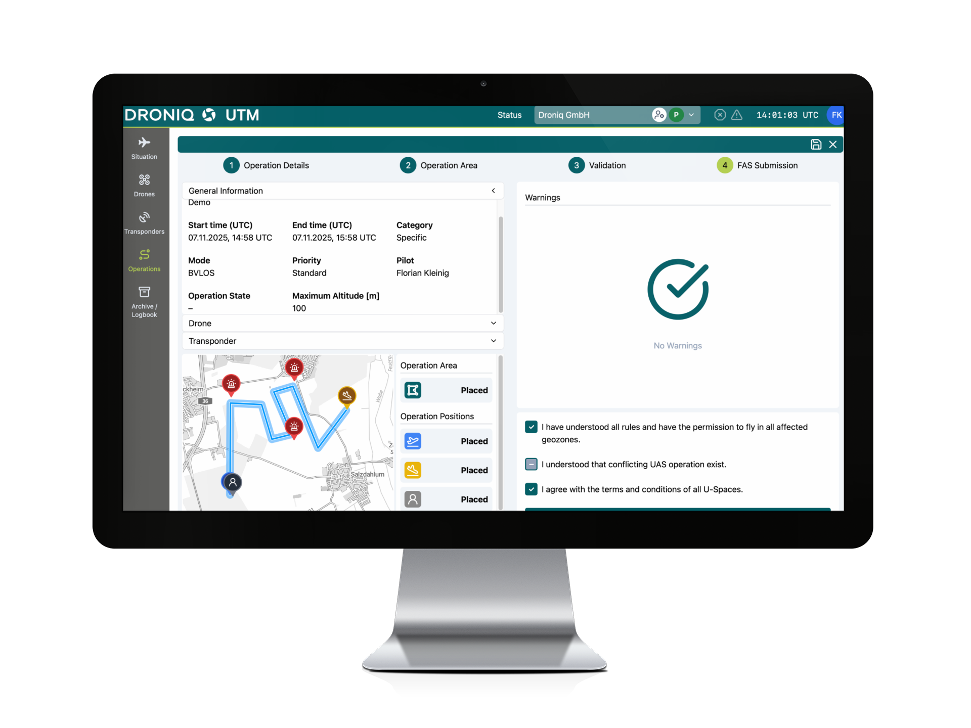
The maps generated by the project are intended to be made available in the future as an expanded or optional geo-awareness service via a UTM system for use in U-Space. For the demonstration flights, Droniq also provided access to the UTM (traffic management for drones) system, which was further developed as part of the research project.
In this way, the Droniq bridges an important gap: from the generation of high-resolution environmental data to its provision for future drone operations.
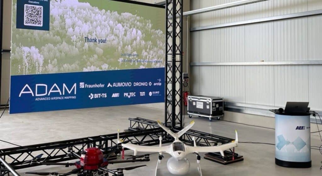
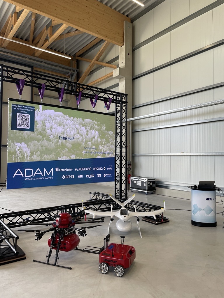
ADAM Closing Event in Kamenz
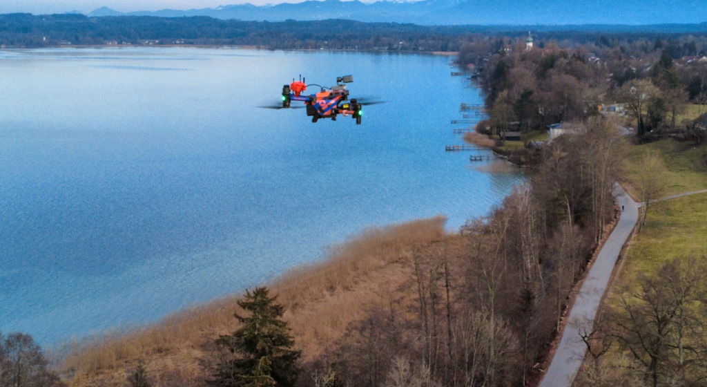
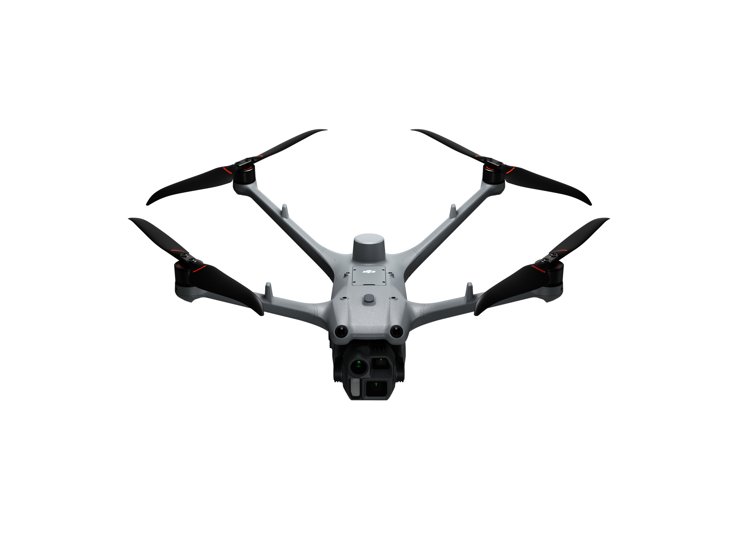
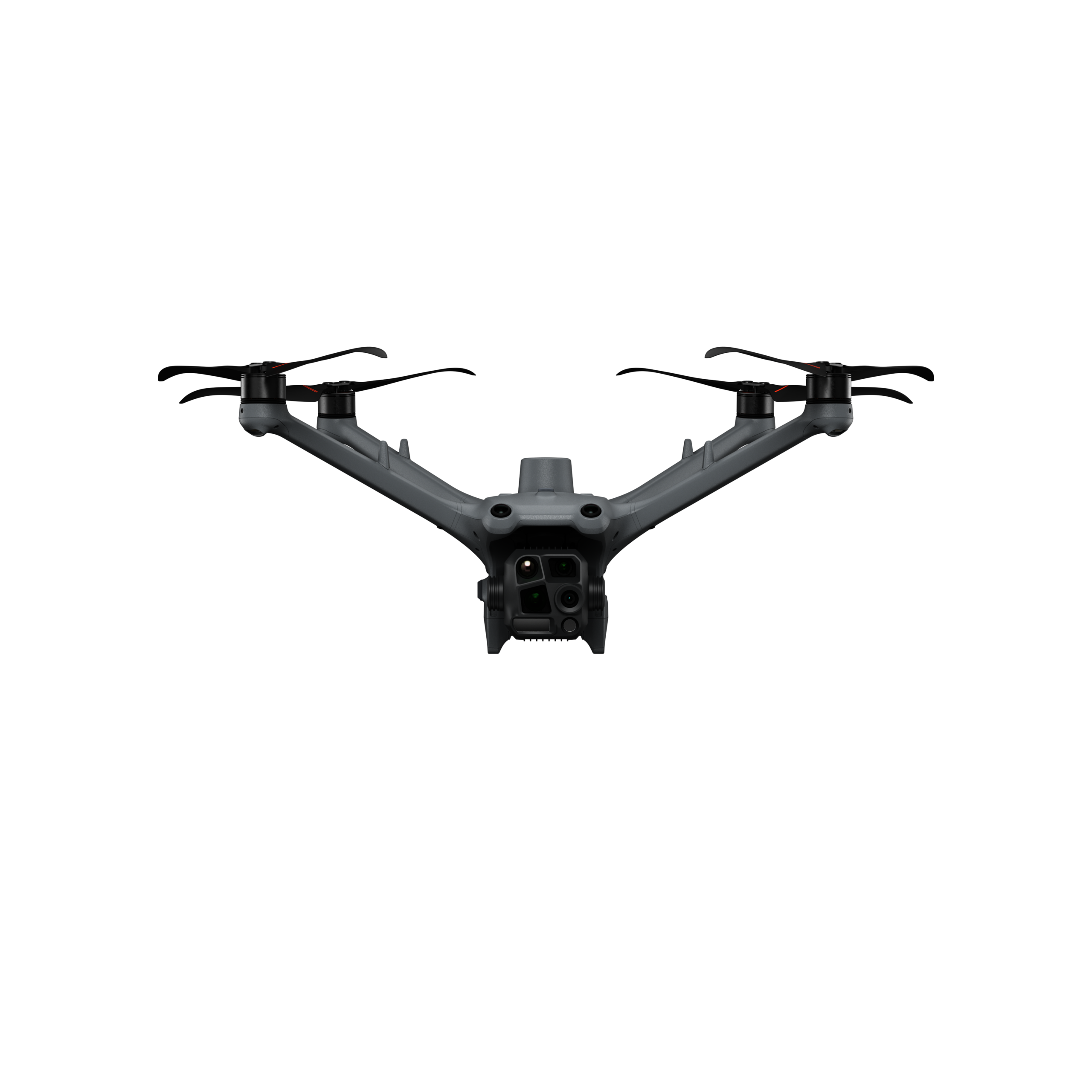
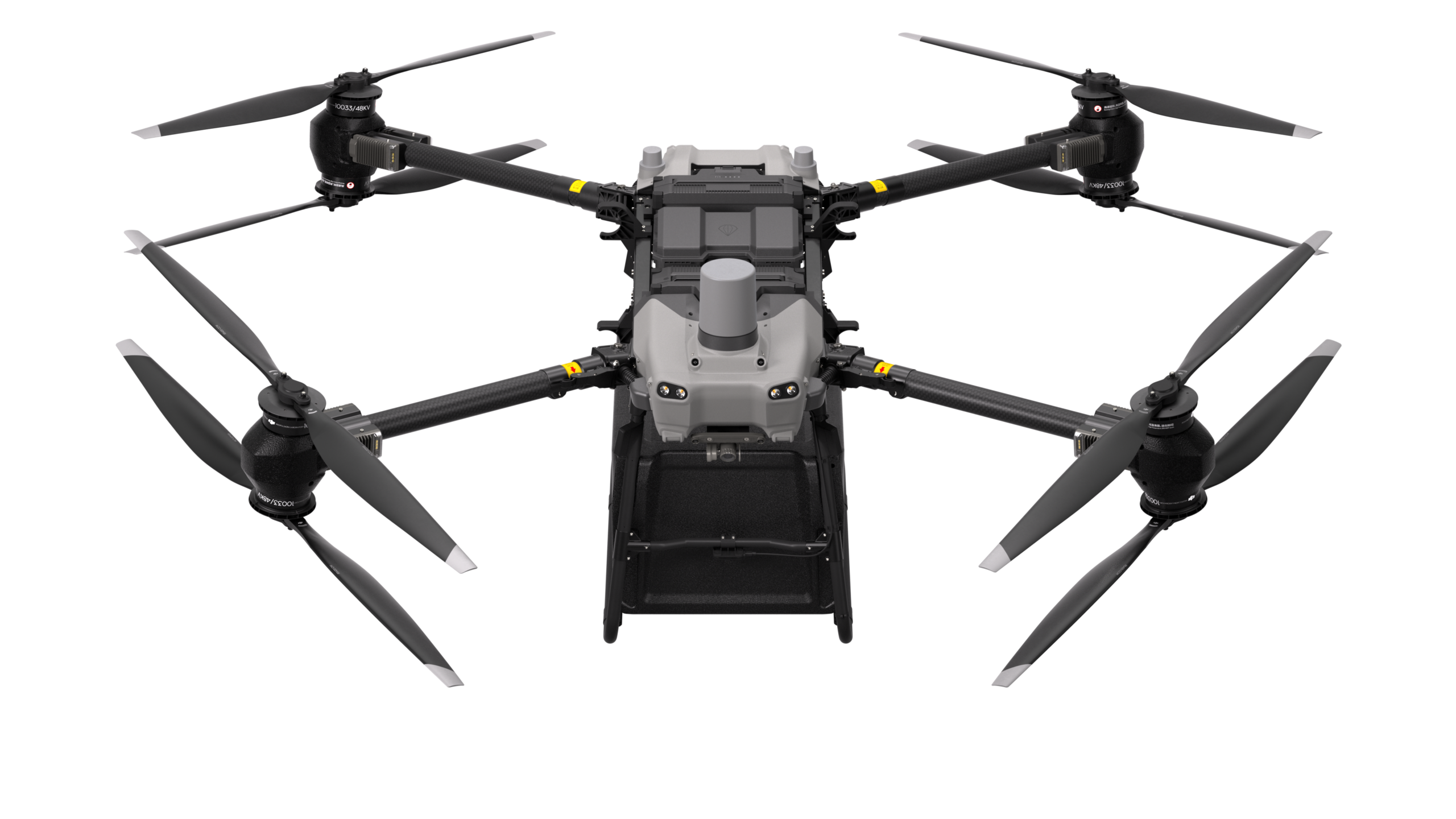
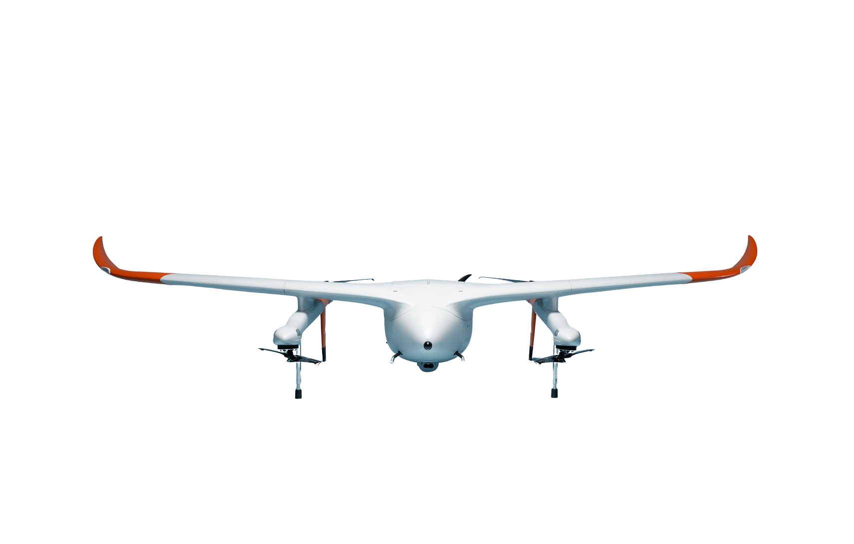
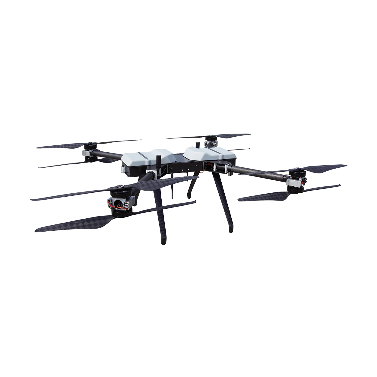
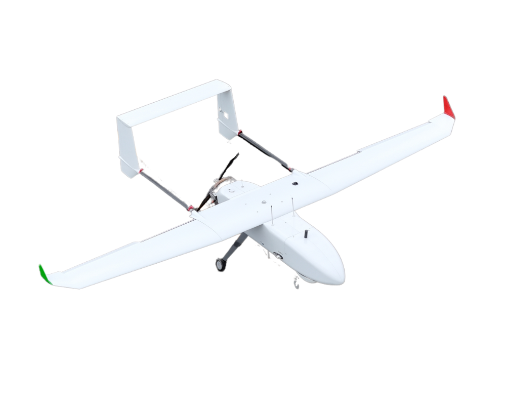
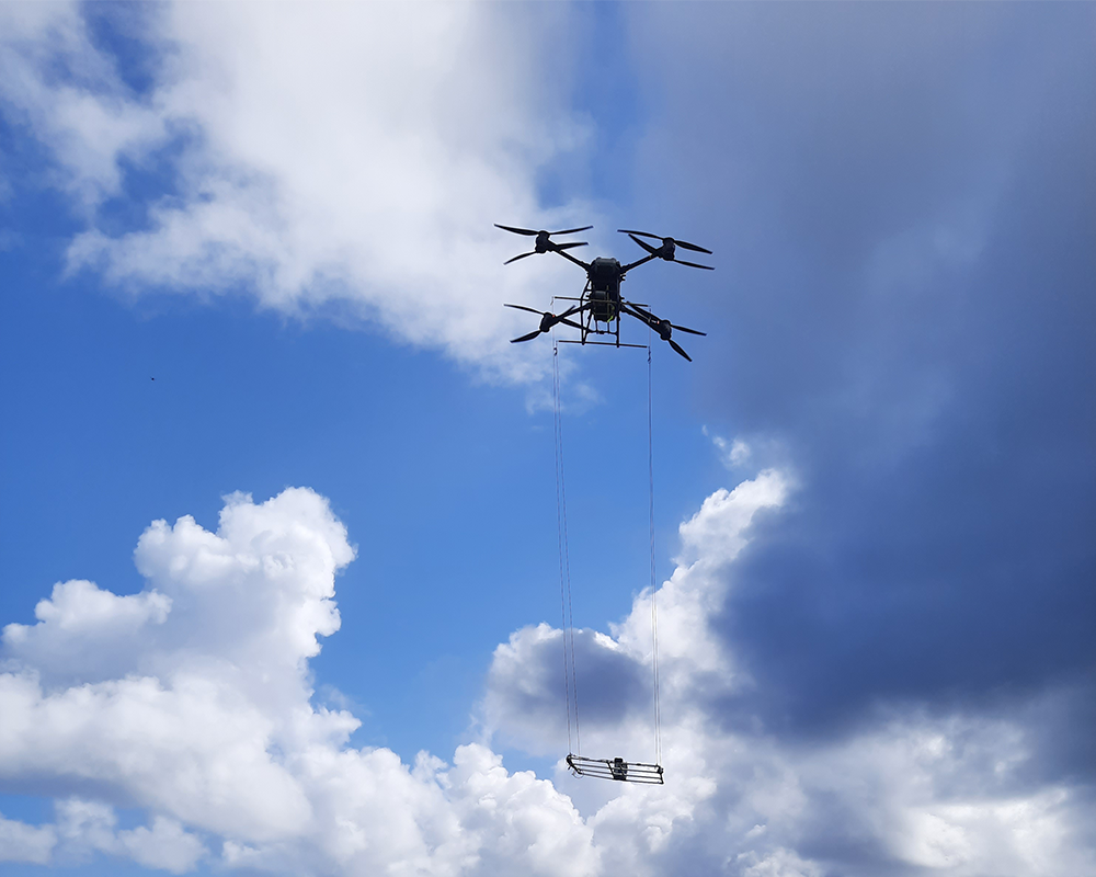
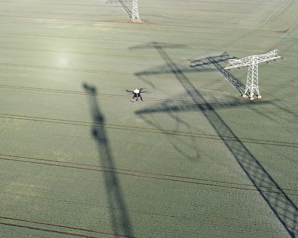
At the closing event held at the AEF (Autonomous Electric Flight) test site in Kamenz, the various components of the project came together. In addition to the presentation of the project results, the program included flight demonstrations of the developed UAV systems as well as various technical presentations.
The topics ranged from the creation and processing of high-resolution map data to safe navigation and the question of how the collected data can be used within the European U-Space in the future.
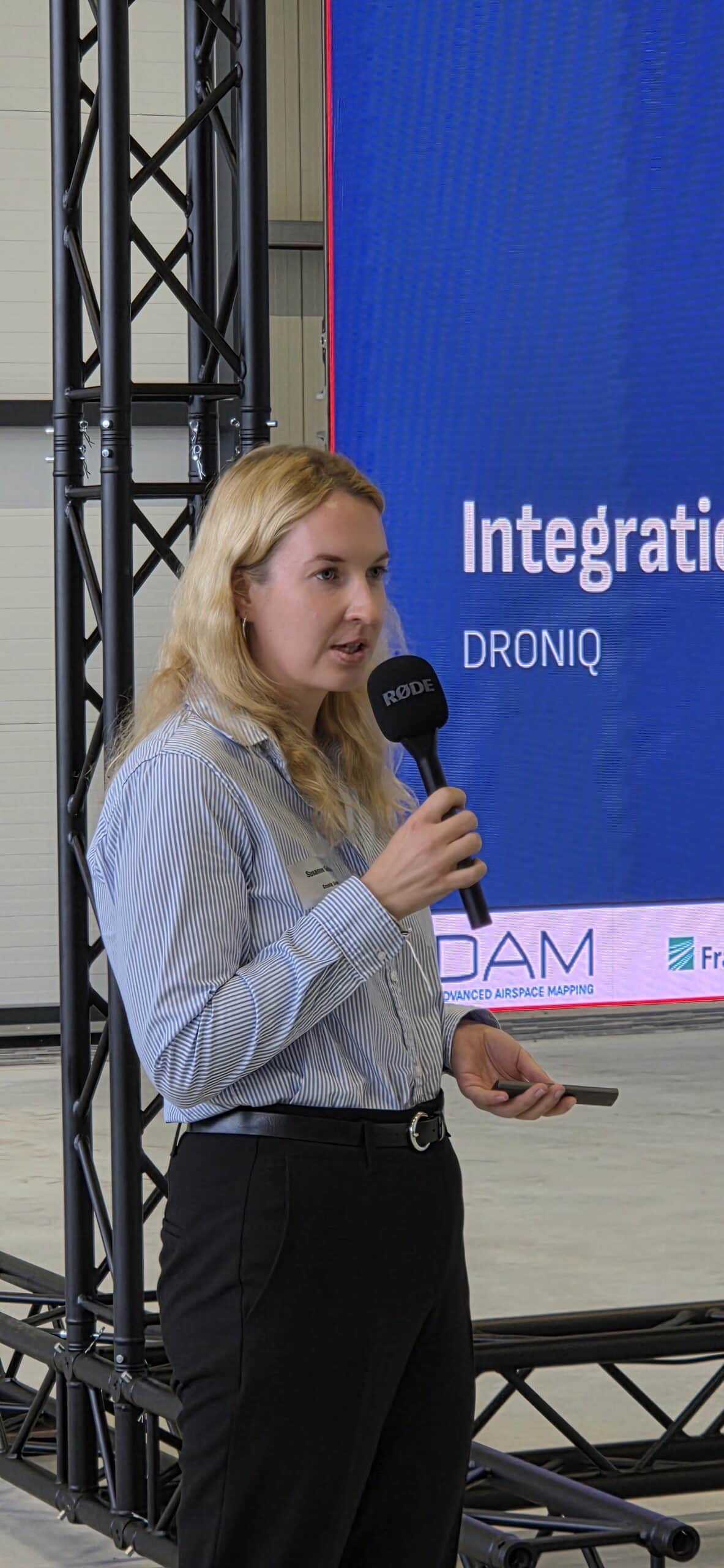
On behalf of Droniq, Susanne Günther presented how high-resolution map data can be integrated into the European U-Space and used for future drone operations.
Three Years of Joint Research for the Future of Drone Flight
The closing event marks an important milestone after three years of joint research and development work. However, the work on ADAM is not yet fully complete: The results will continue to be finalized and documented until the project officially concludes.
The solutions developed in the project also demonstrate the role that precise digital information about lower airspace could play in the future. As drone operations become increasingly automated, it will be crucial to reliably provide relevant environmental and airspace information for flight planning and execution.
We would like to thank all project partners for their trusting collaboration and professional exchange over the past three years, as well as everyone involved who made this project possible and supported it.