| Thermal imaging cameras vs. LiDAR: Which technology suits your drone application?
Thermal imaging cameras vs. LiDAR: Which technology suits your drone application?
Drone technology, LiDAR, drone accessories, thermal imaging camera
Drone sensors in comparison
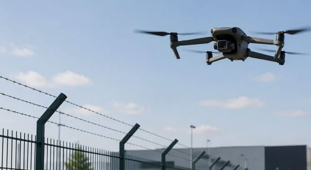
Whether for inspection, rescue operations or surveying - drones are indispensable tools in many industries today. Sensors that deliver more than just visual images are particularly in demand. Two technologies are particularly in focus: thermal imaging cameras (e.g. from FLIR) and LiDAR sensors.
But what are the differences between these systems - and when is which solution the better choice?
What is a thermal imaging camera?
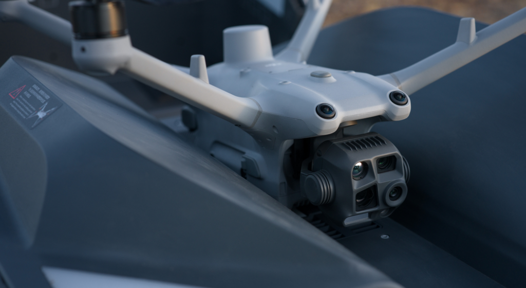
Thermal imaging cameras capture infrared radiation and make temperature differences visible. FLIR (Forward Looking Infrared) is one of the best-known manufacturers of such cameras. They generate thermal images that can detect people, animals, leaks or hotspots in systems - even in complete darkness.
Typical areas of application:
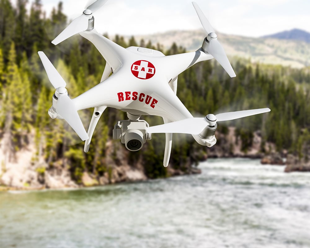
People search(Search & Rescue)
Fire detection during firefighting operations
Photovoltaic inspections
Agriculture (e.g. searching for wild animals before mowing)
Building inspections (e.g. thermal insulation, leaks)
Typical for thermal imaging cameras: razor-sharp temperature images - even at night or in poor visibility.
LiDAR(Light Detection and Ranging) uses laser beams to measure precise distances and create a 3D model of the surroundings. The technology is particularly suitable for surveying, mapping and digital twins.
Typical areas of application:
Surveying and mapping (e.g. in forestry or construction)
Route flights
Stocktaking in agriculture
Digital twins and BIM projects
Infrastructure inspections
Typical for LiDAR: Extremely detailed point clouds - even with dense vegetation or poor visibility.
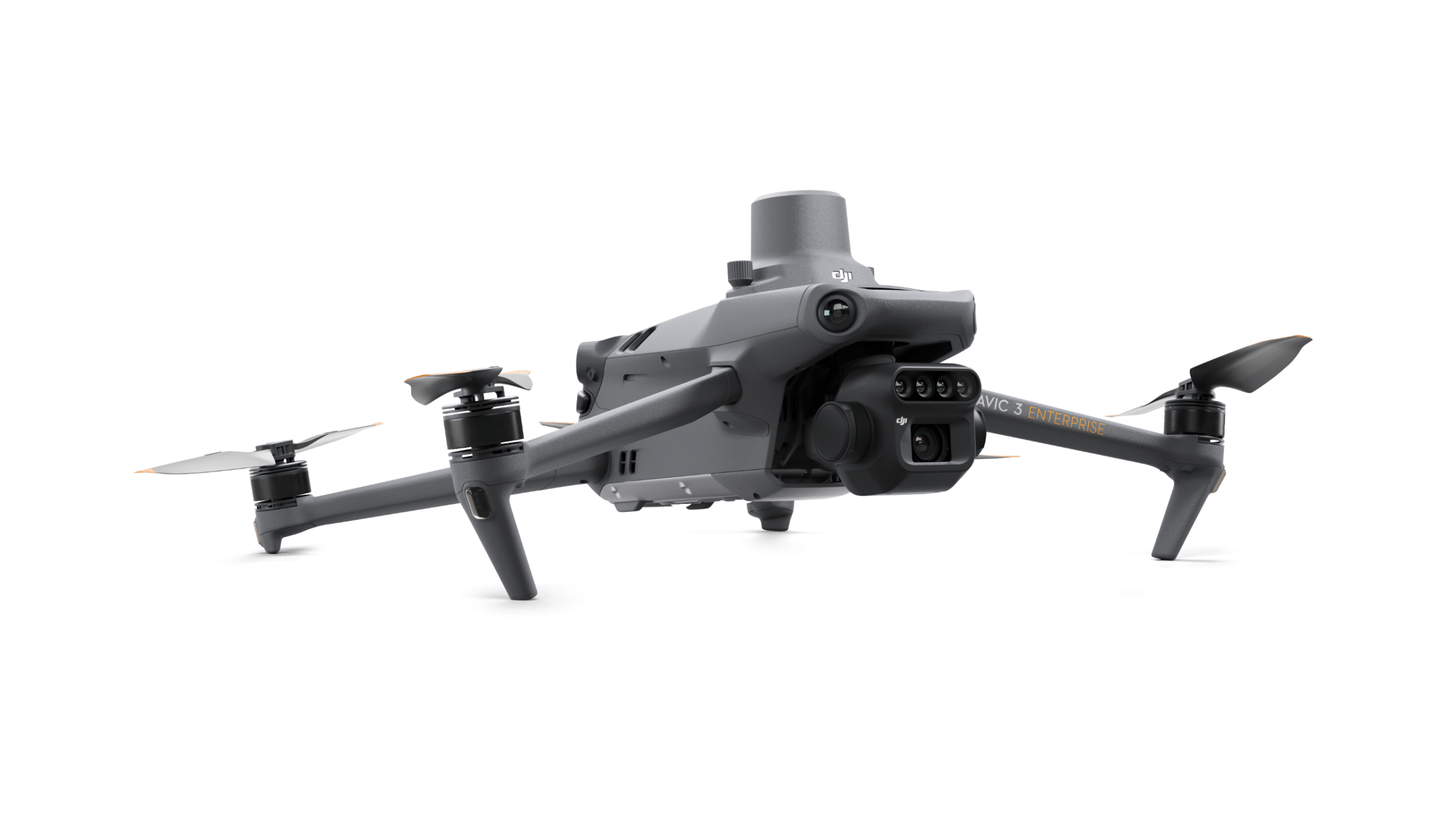
Note: The latest drone models use LiDAR technology for obstacle detection in flight.
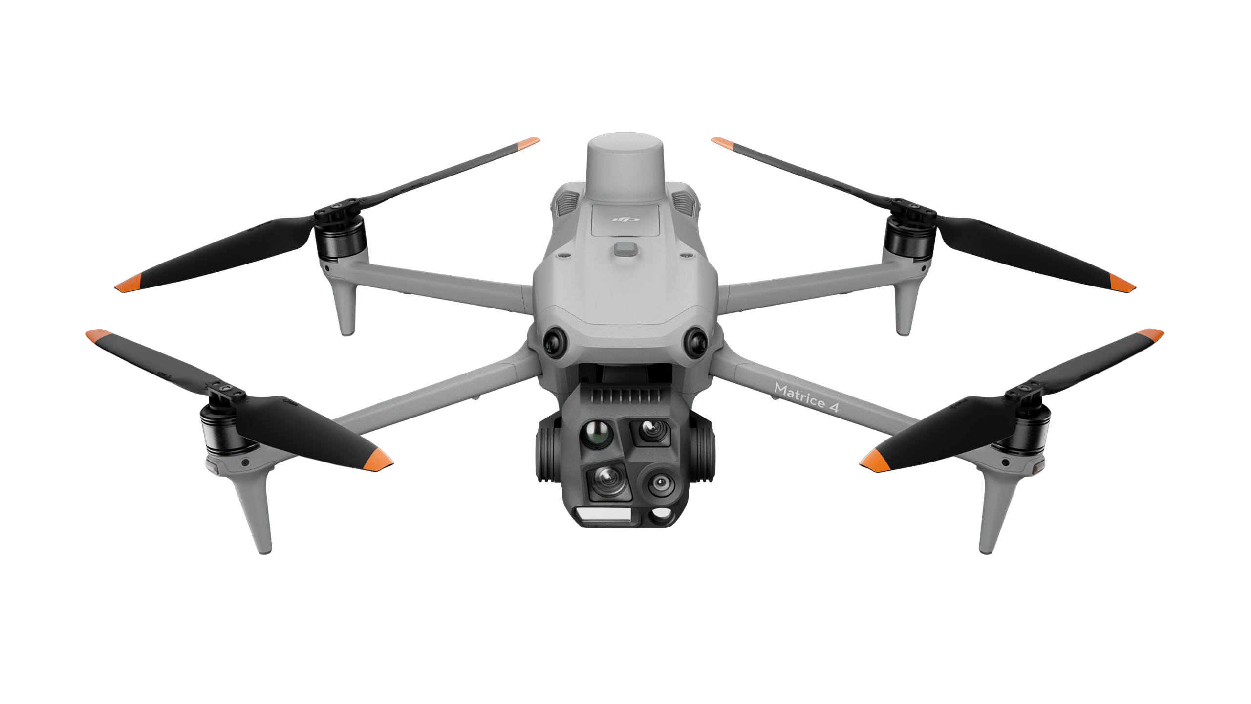
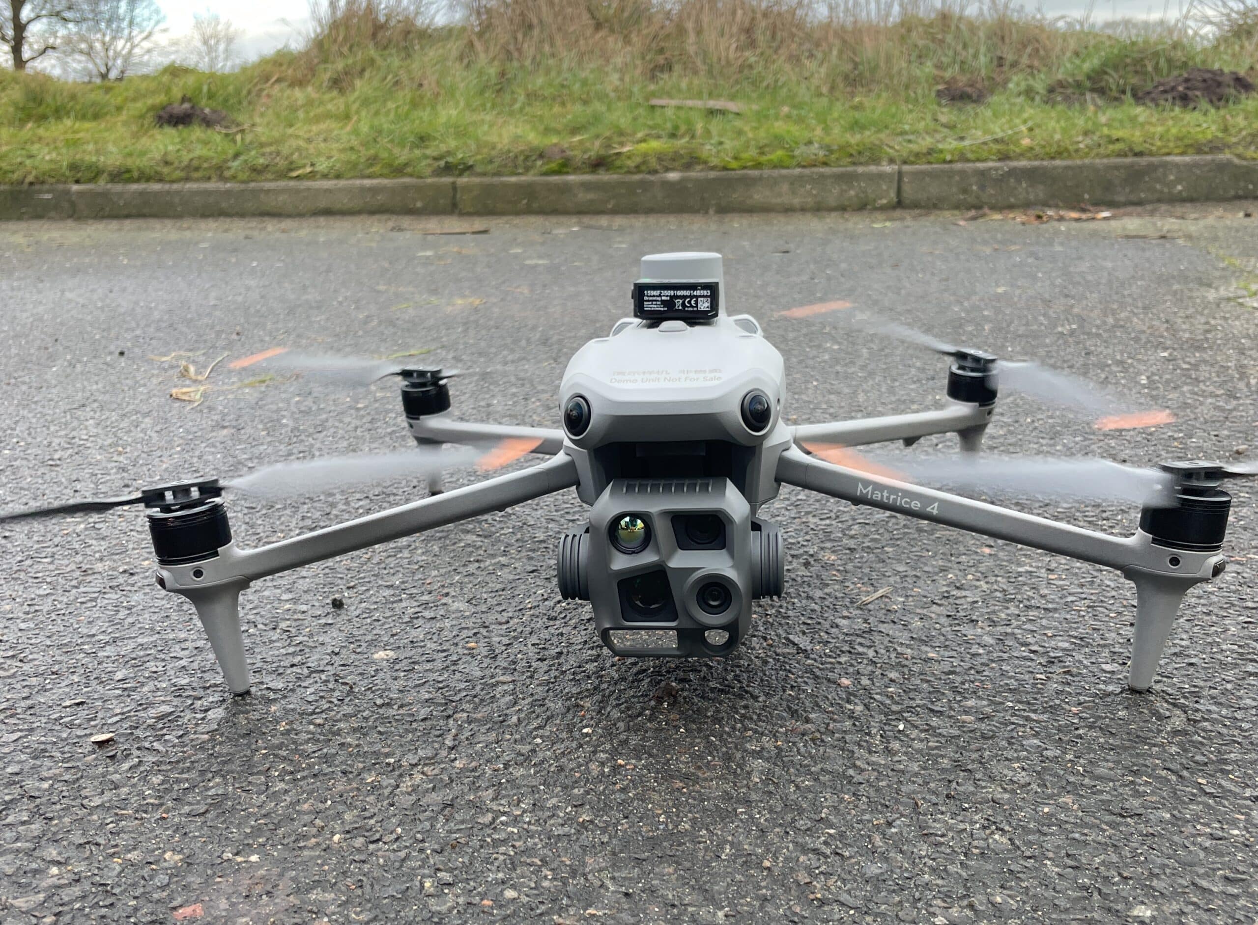
This series also uses a permanently installed LiDAR module for obstacle detection and automatic avoidance. Such a module is also available for the Matrice 4D series.