





































Drones in Urban Areas
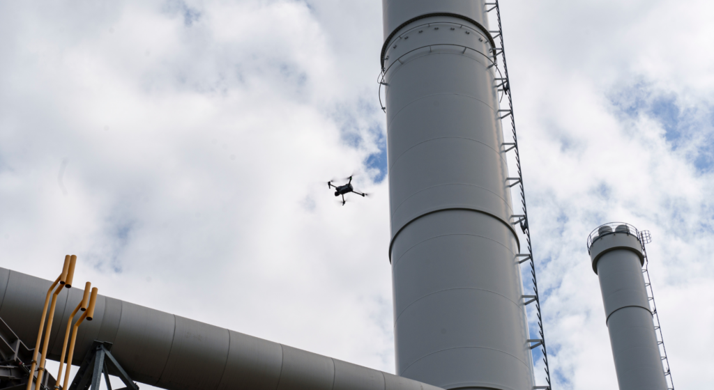
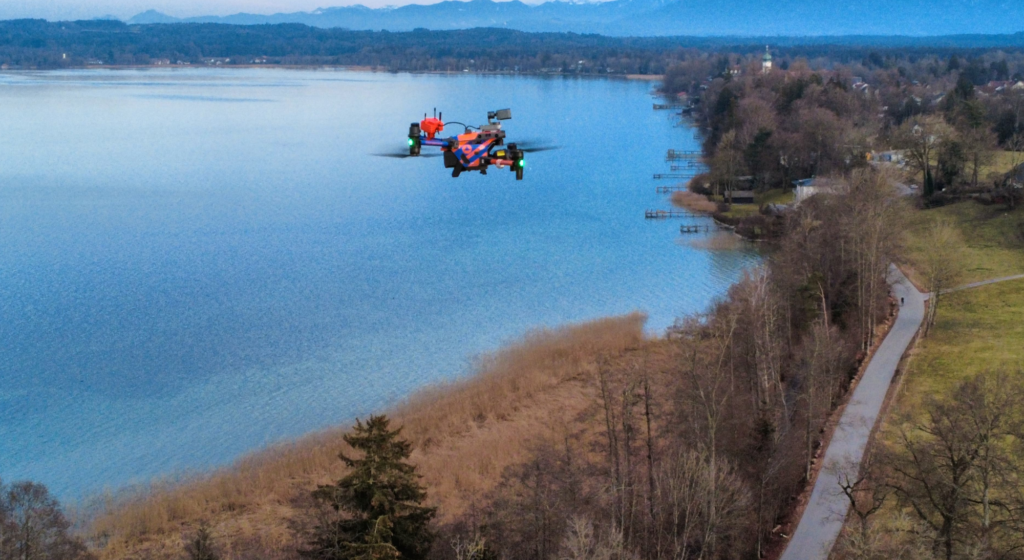
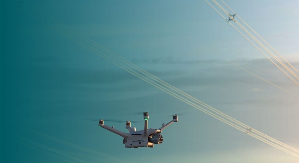
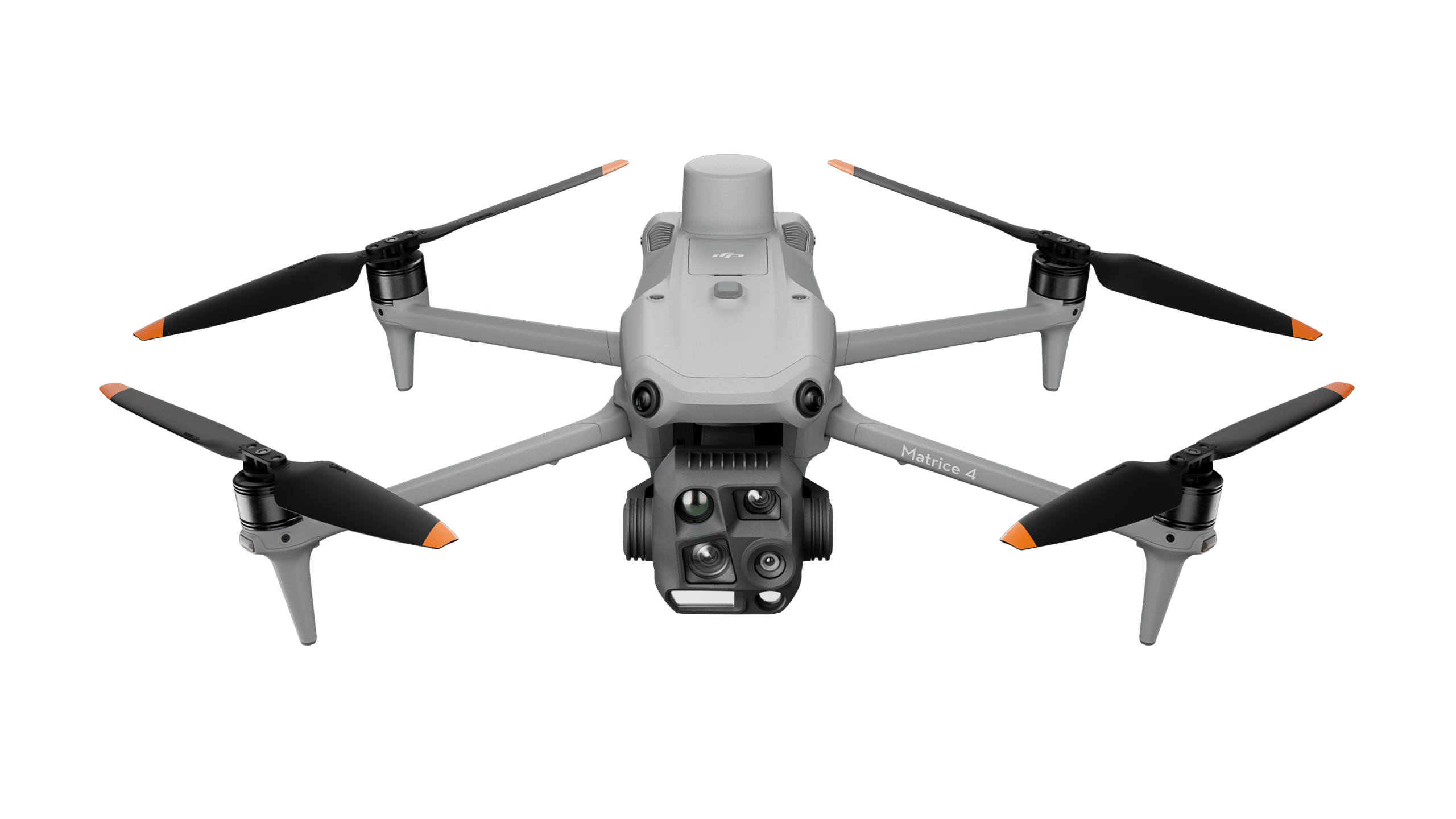
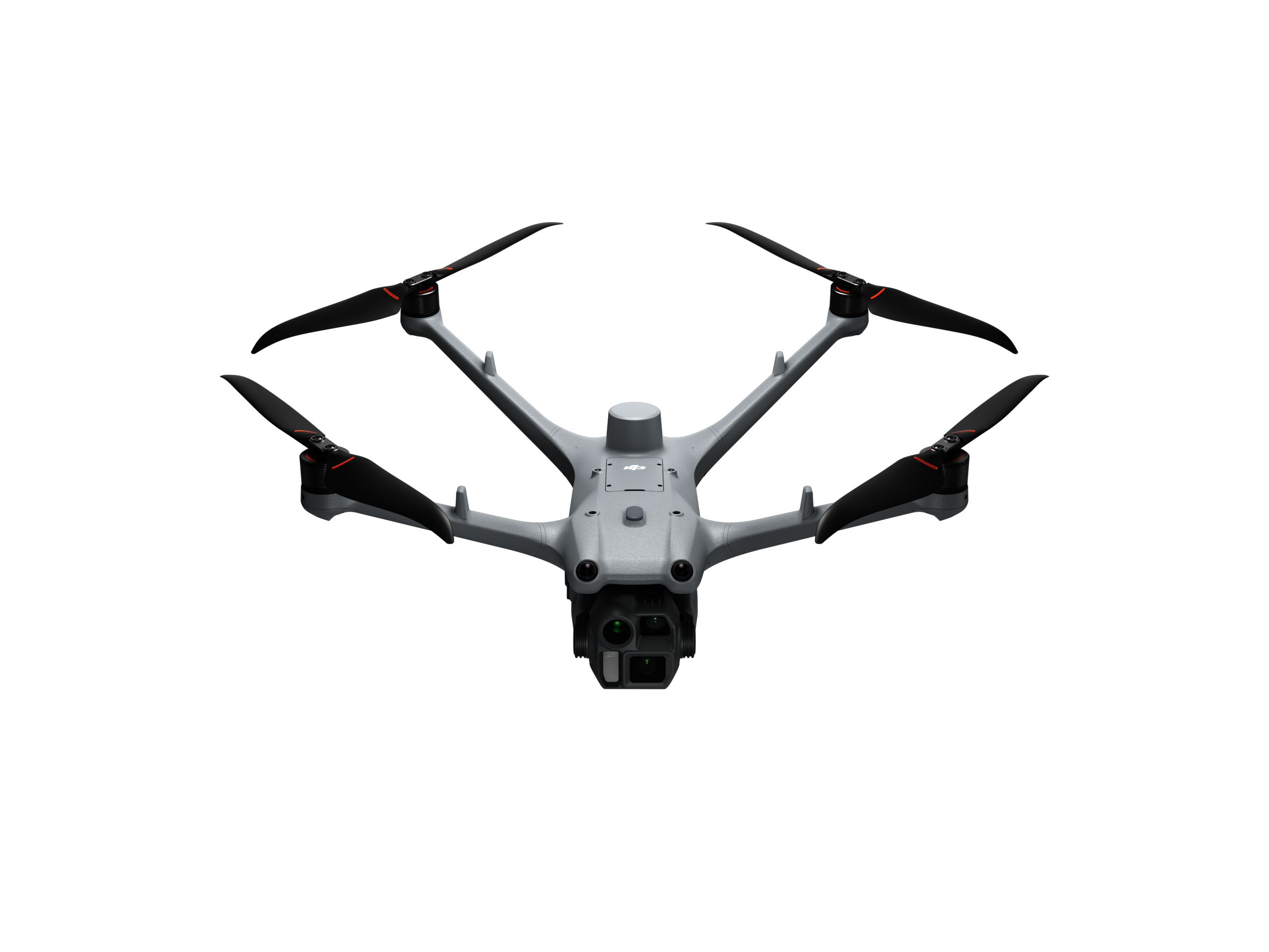
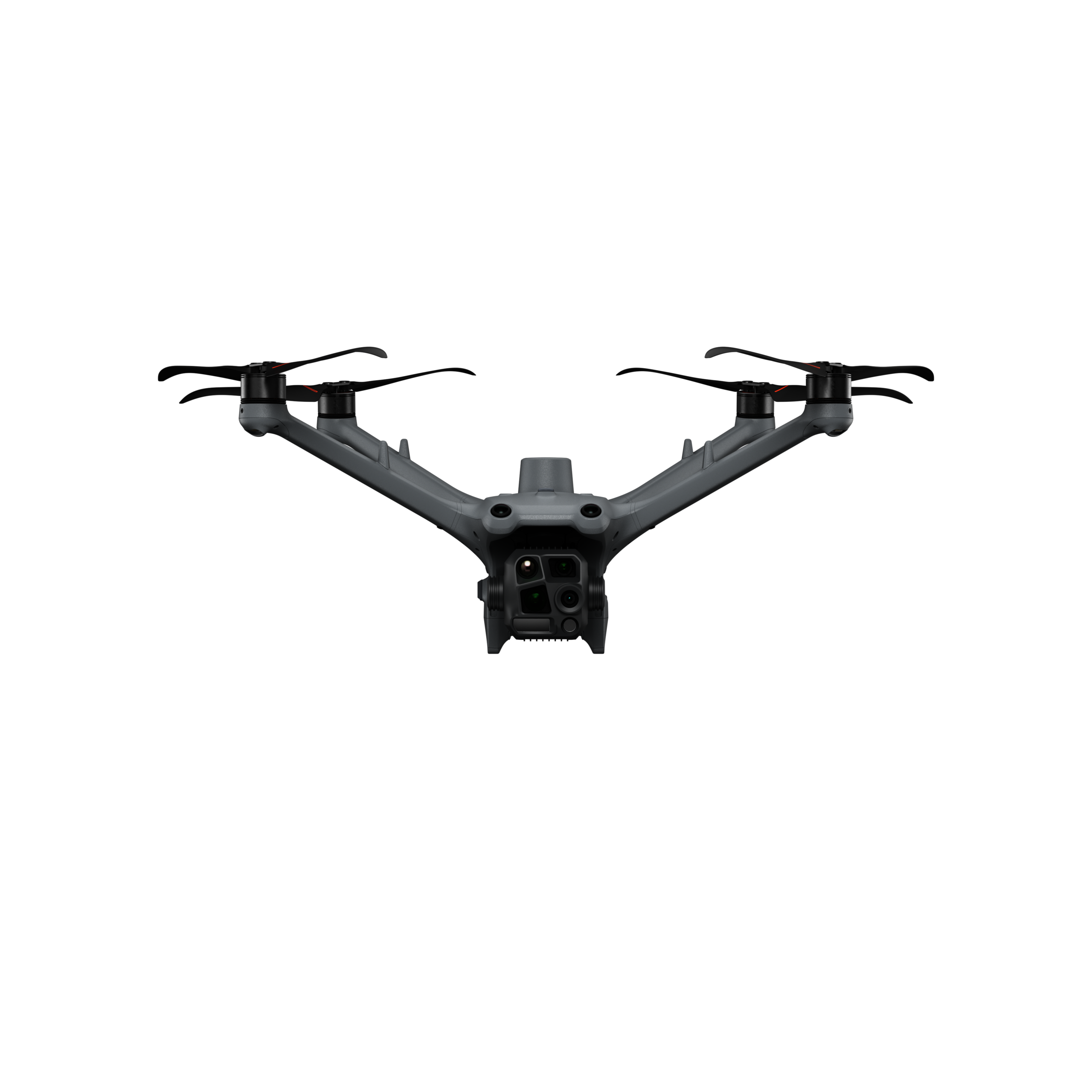
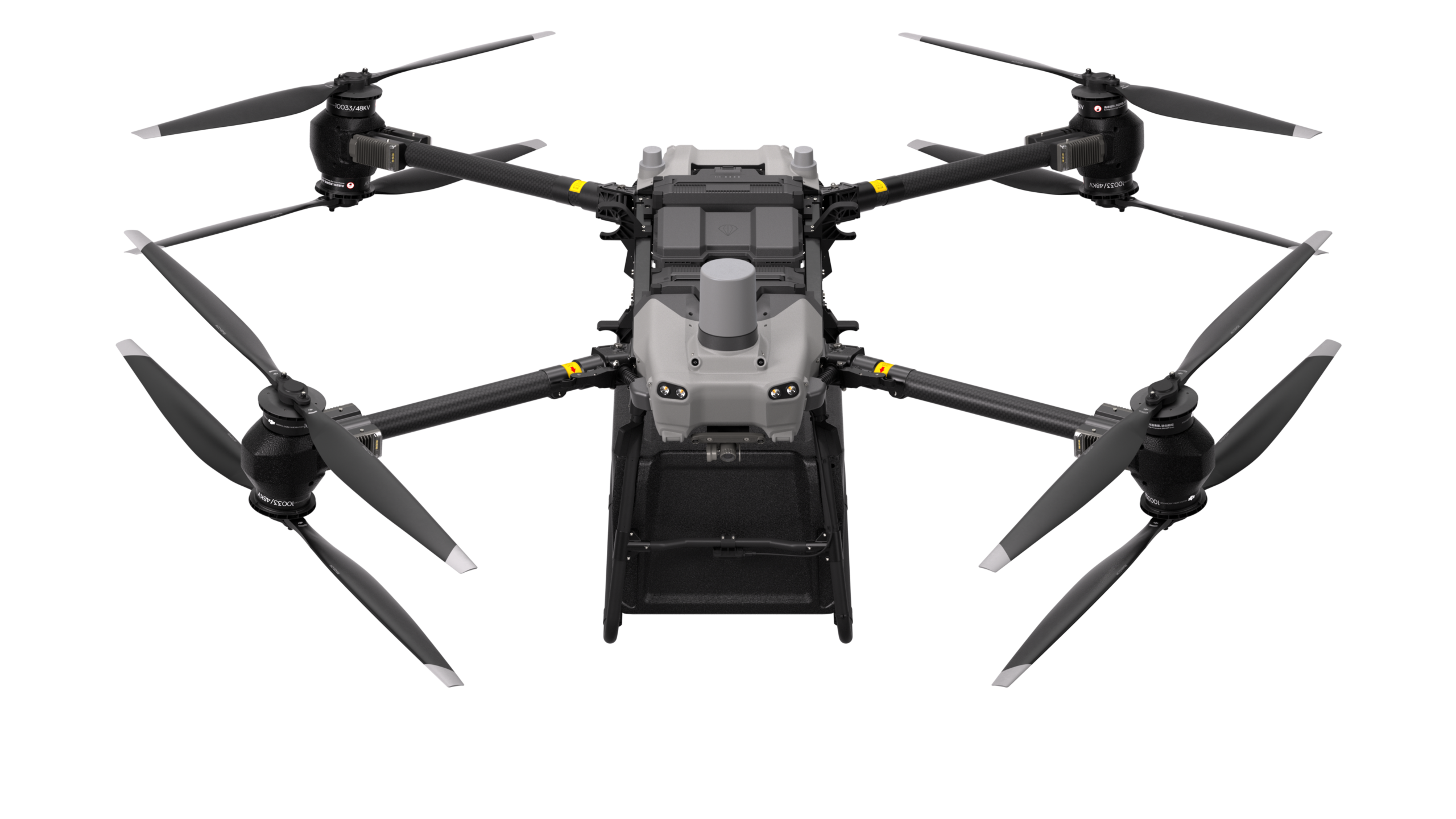
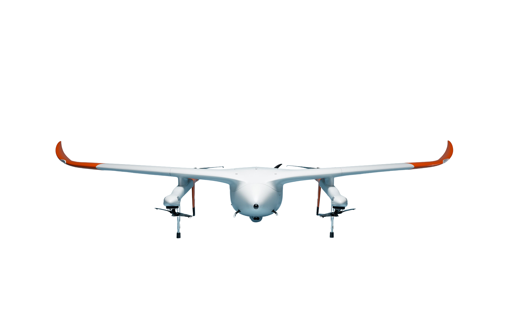
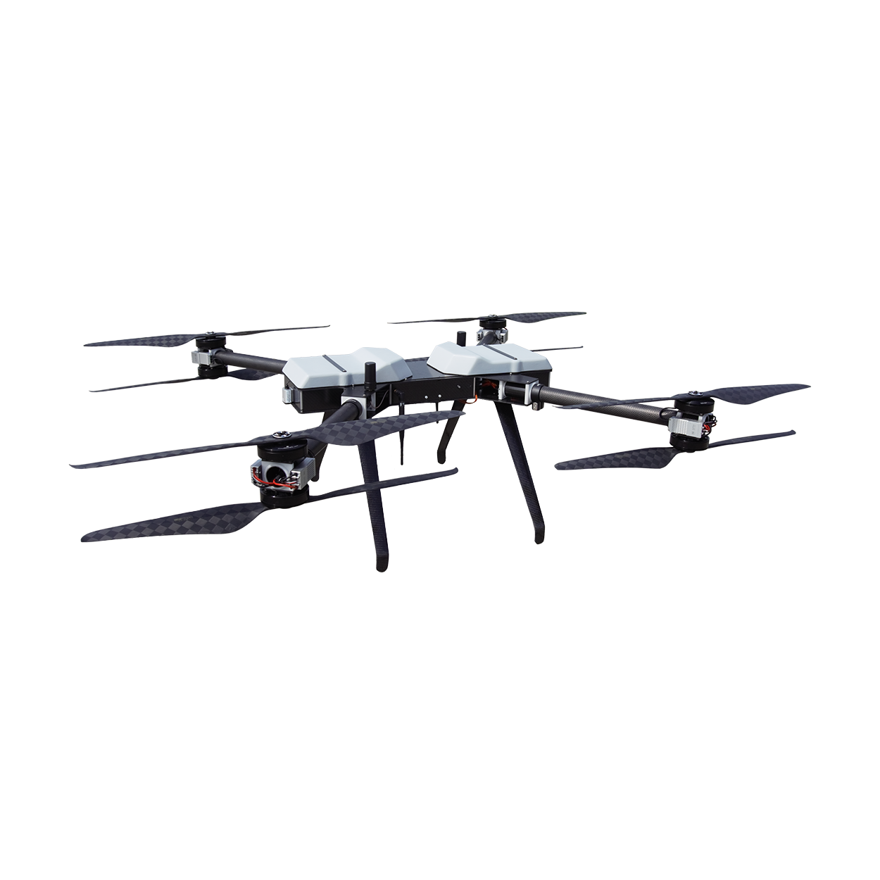
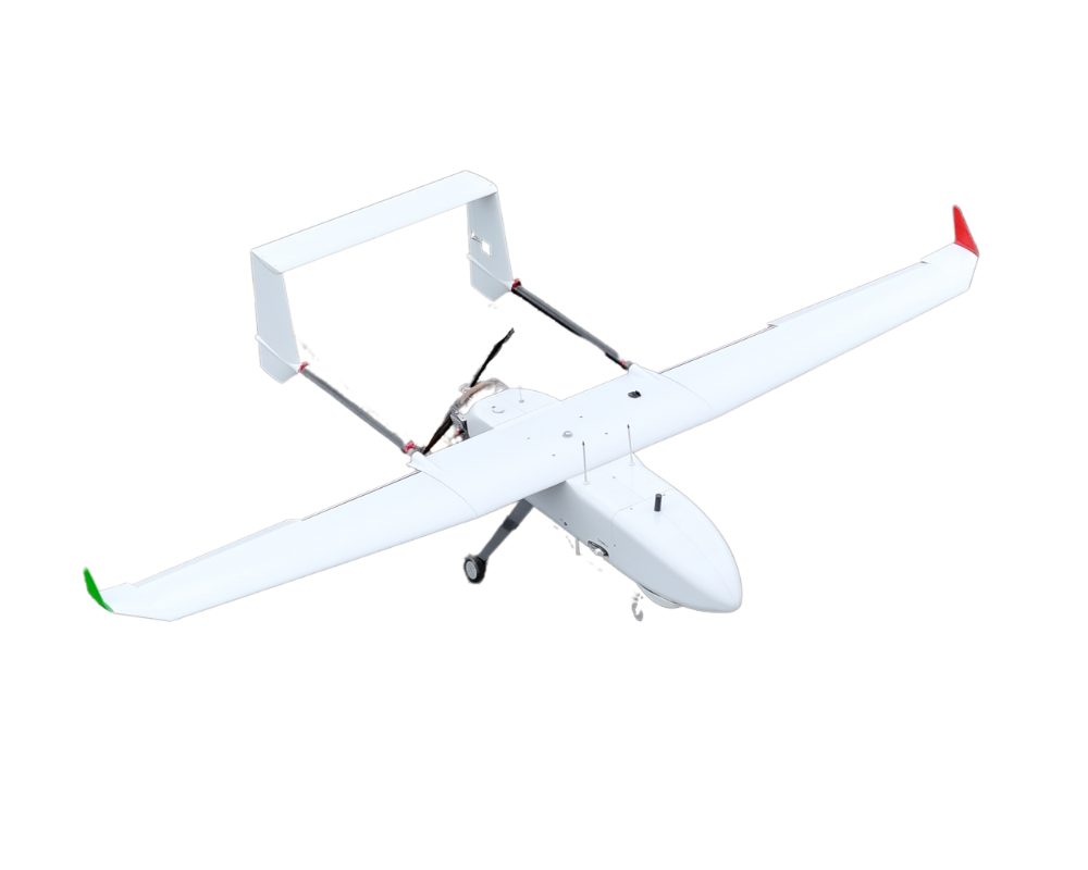
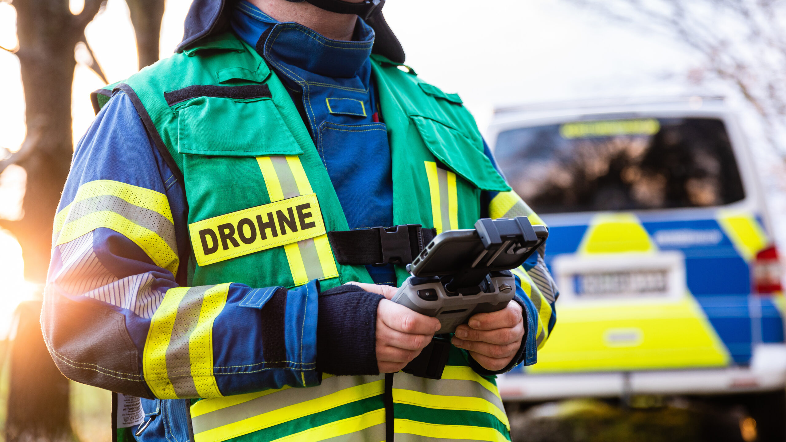
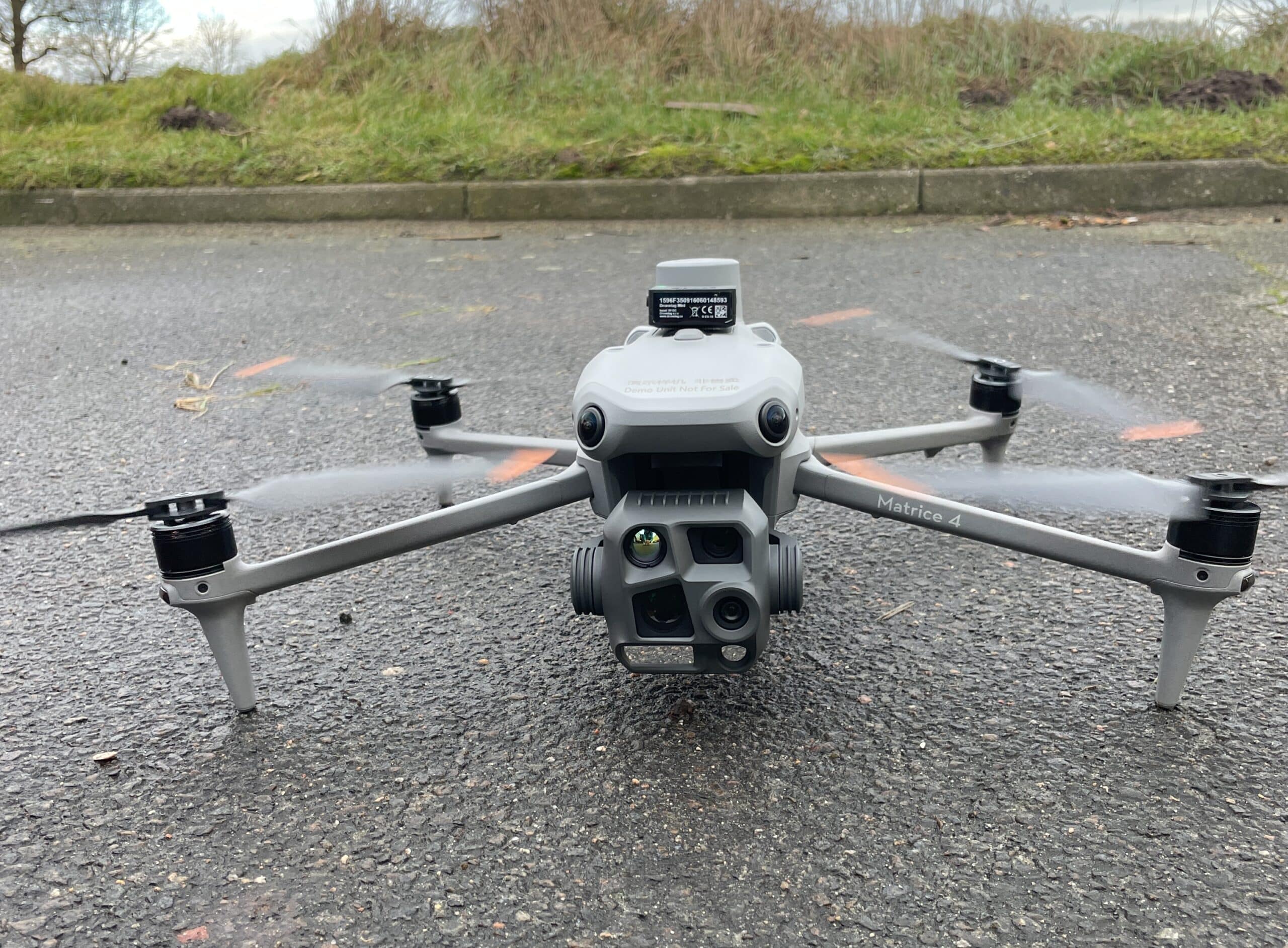
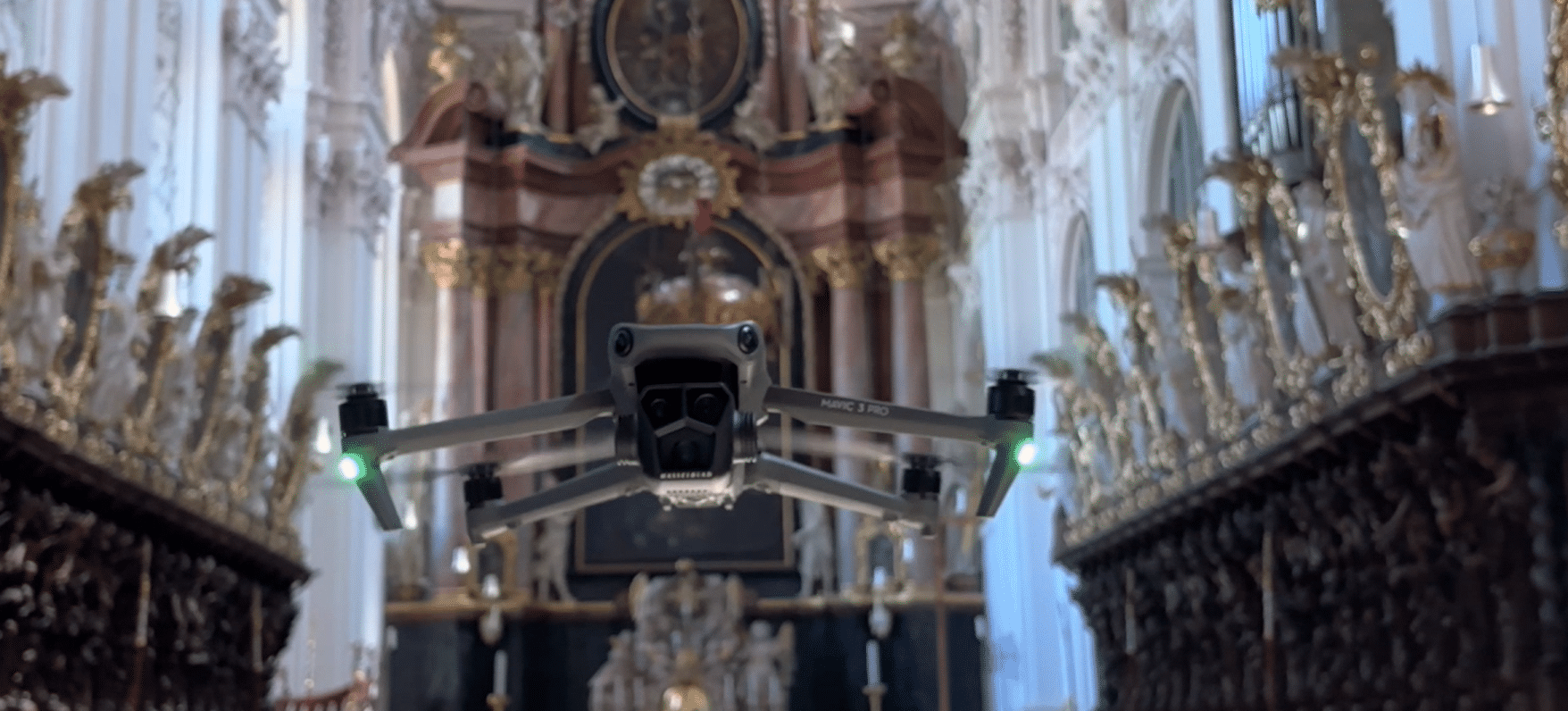
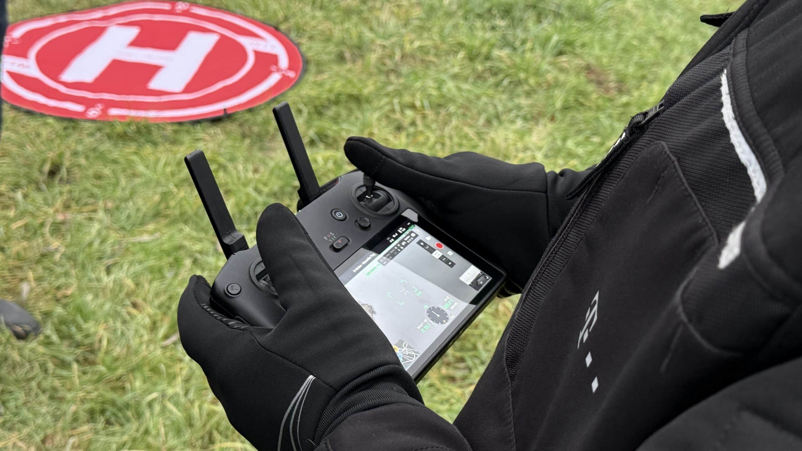
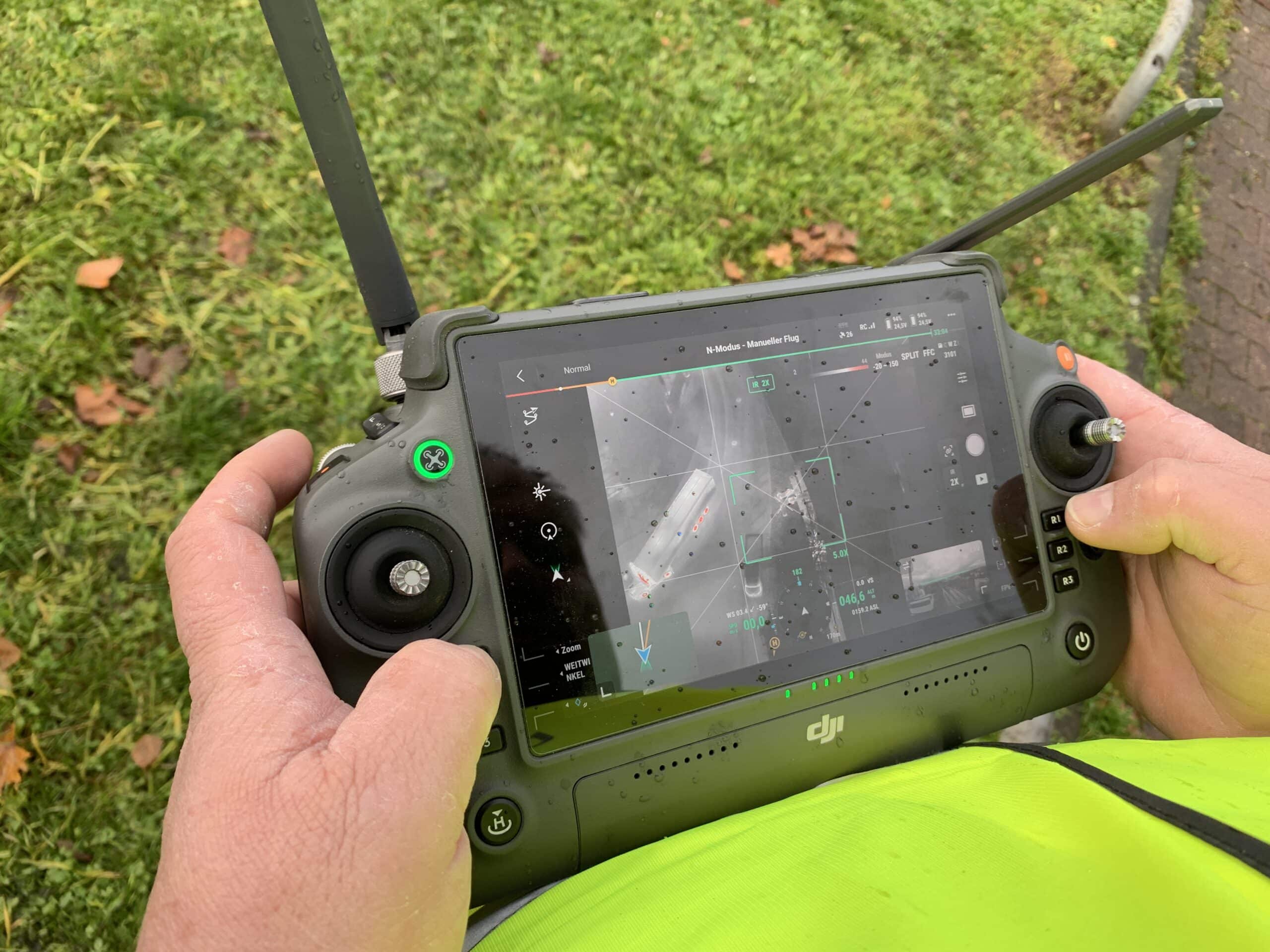
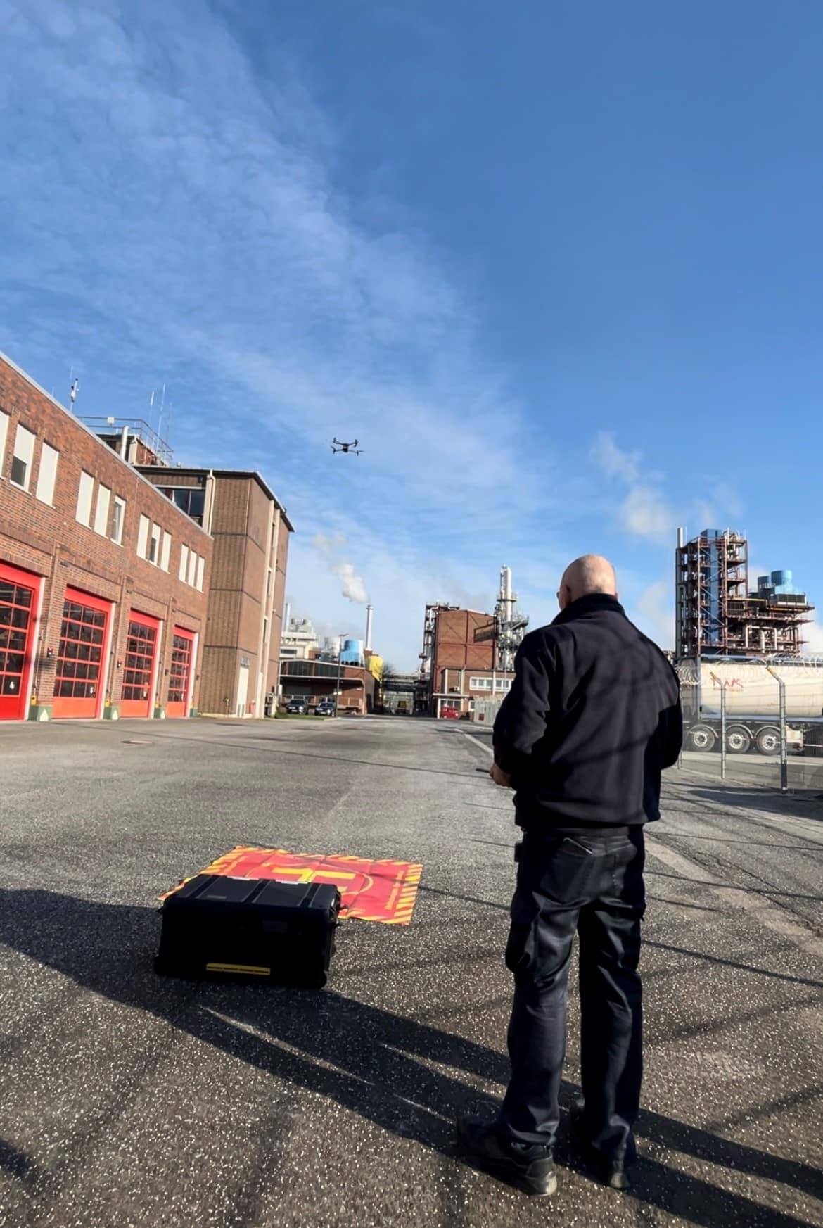
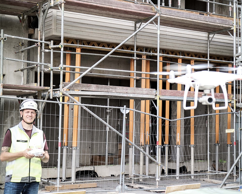
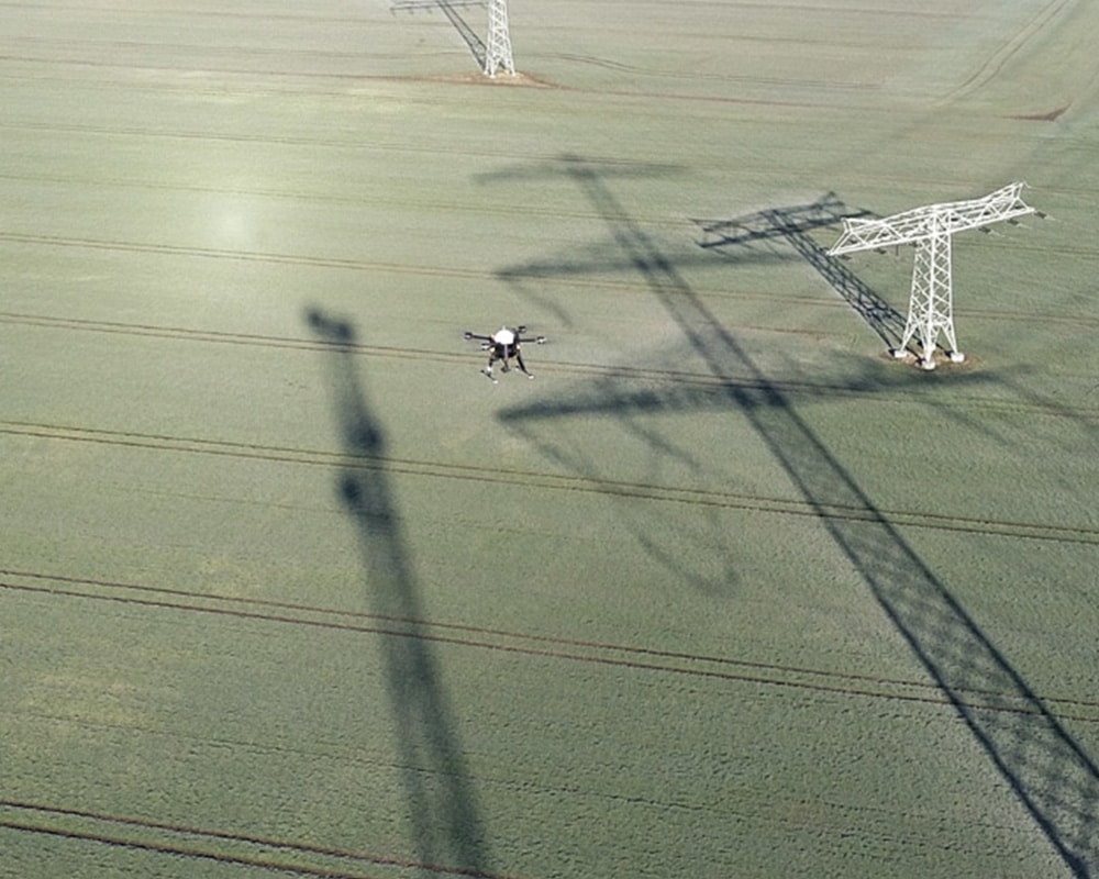
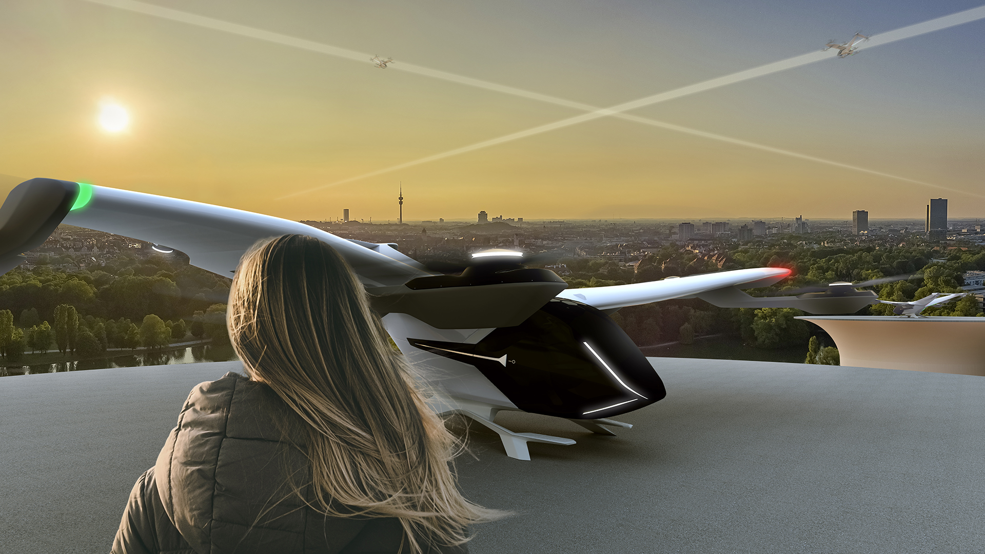
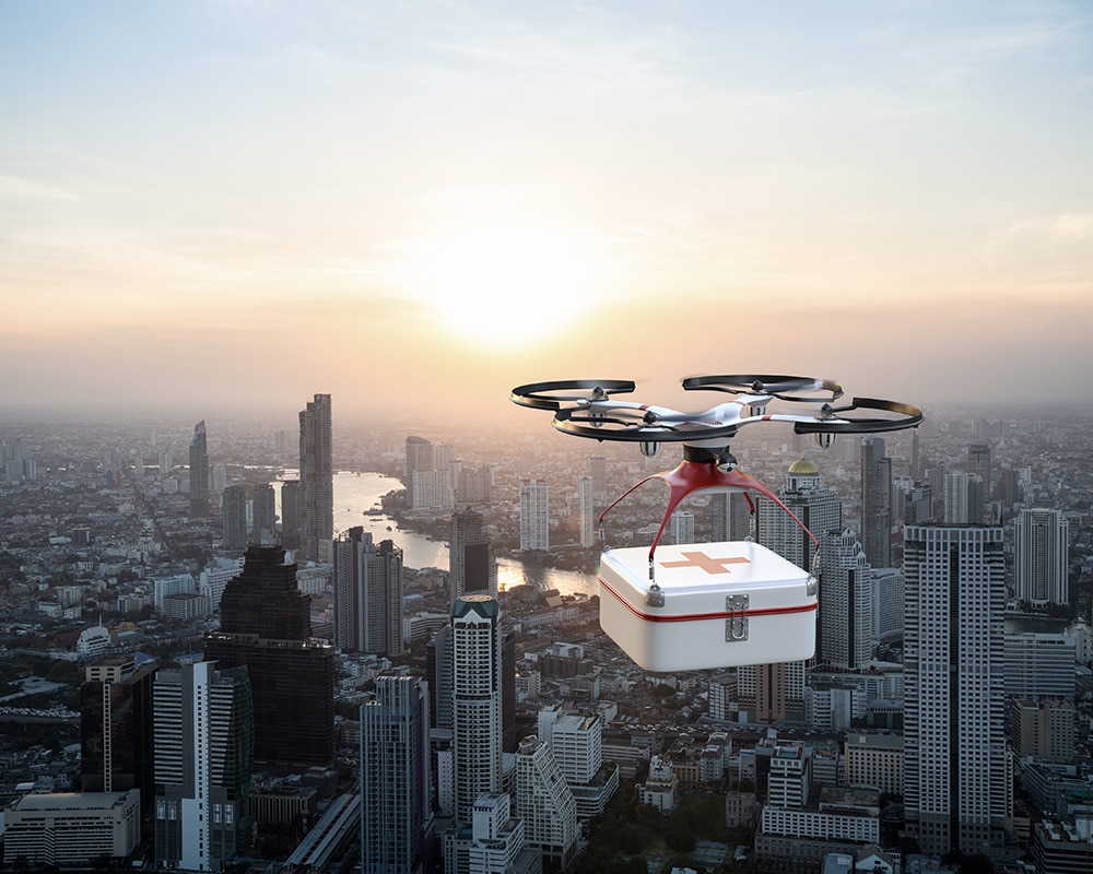
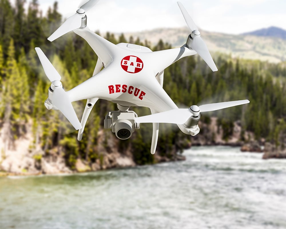
Cities and municipalities are also clearly feeling the impact of this trend: Drones have long been a part of everyday life in urban areas. They are used for inspections, construction projects, and media productions, and their importance continues to grow.
However, this development also increases the pressure on local governments and policymakers to take action:
- Who uses the airspace above cities?
- Which flights are approved?
- How can safety be ensured in urban areas?
The main challenge:
There is a lack of transparency and control.
Current Situation: Limited Visibility in Urban Airspace
Today, many processes related to drone flights are fragmented:
- Requests are handled locally
- Responsibilities are assigned
- Unreported flights often go undetected
For cities, this means:
They are responsible for safety and order in public spaces—
—but often do not have a complete picture of the situation.
This gap becomes particularly apparent during events, in sensitive areas, or when responding to citizen inquiries.
The Solution: MyZone Manager for Transparency in Drone Flights
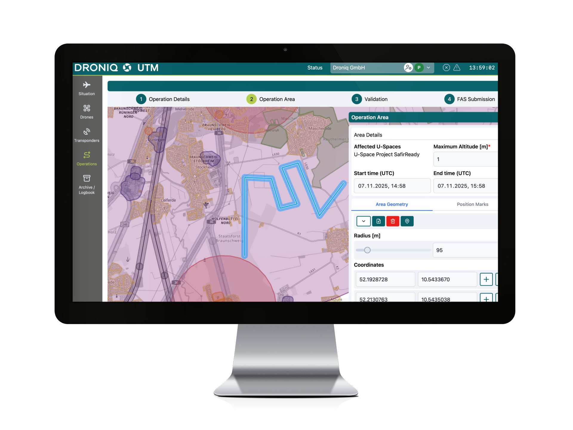
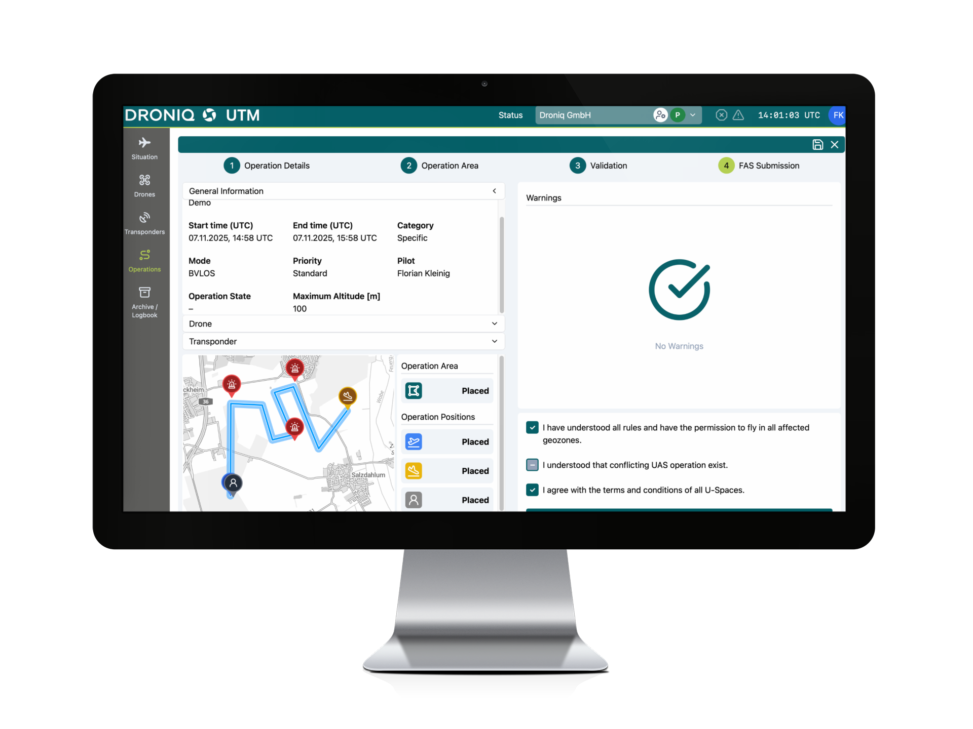
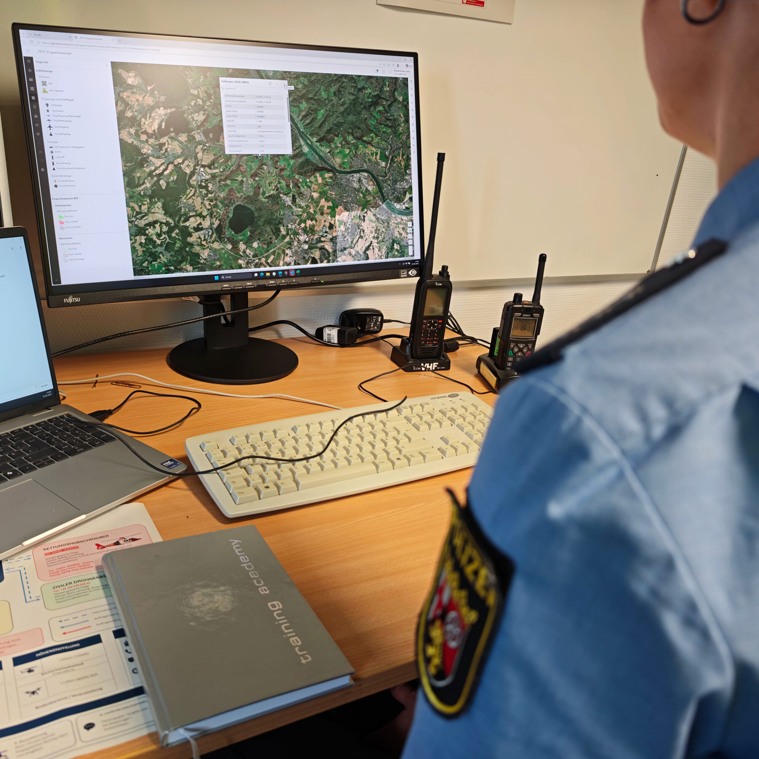
With MyZone Manager, local governments now have, for the first time, a digital tool for managing drone flights in a structured manner.
This allows cities to:
- Register and Approve Drone Flights Digitally
- clearly identify the pilots responsible
- Document flights in a centralized and traceable manner
- Share information with government agencies such as the Public Order Office or the police
This creates a transparent system for all known and approved flights, which simplifies processes and improves collaboration.
Additional Option: MyZone Detection
However, one crucial aspect remains: Not every drone flight is registered in advance.
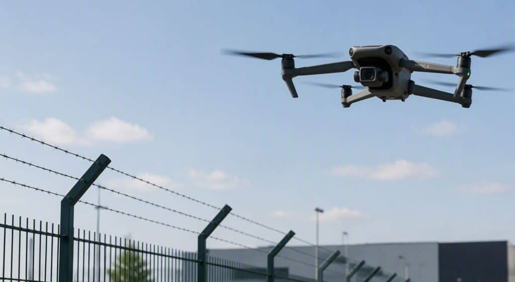
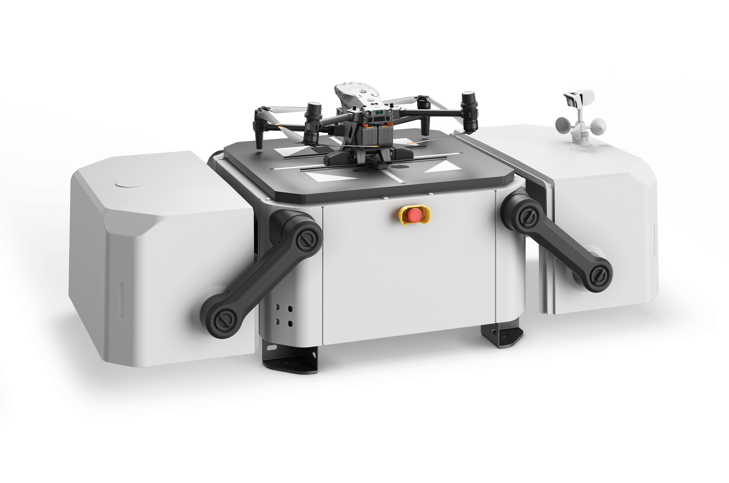
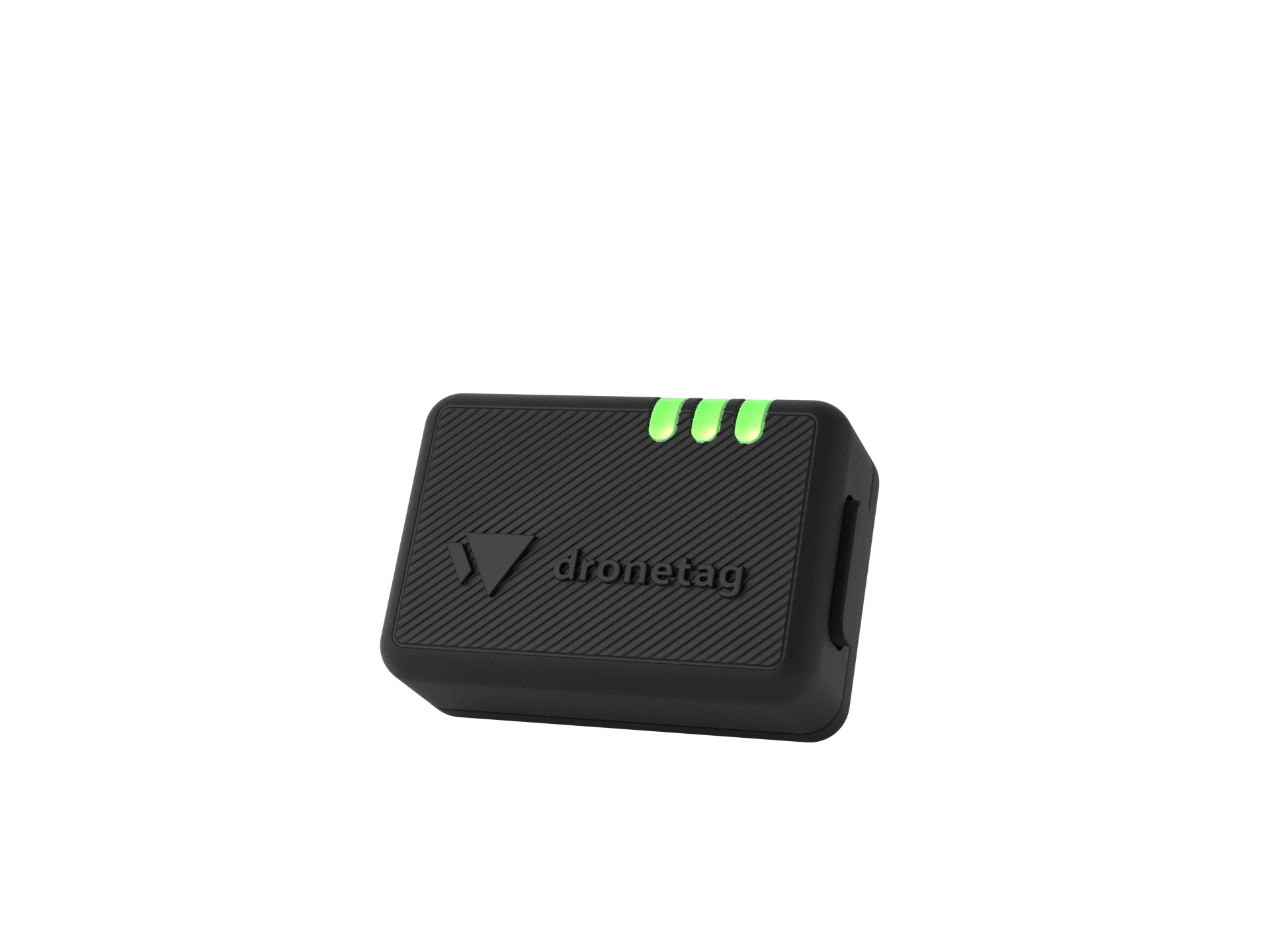
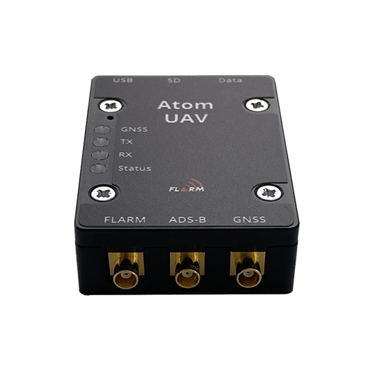
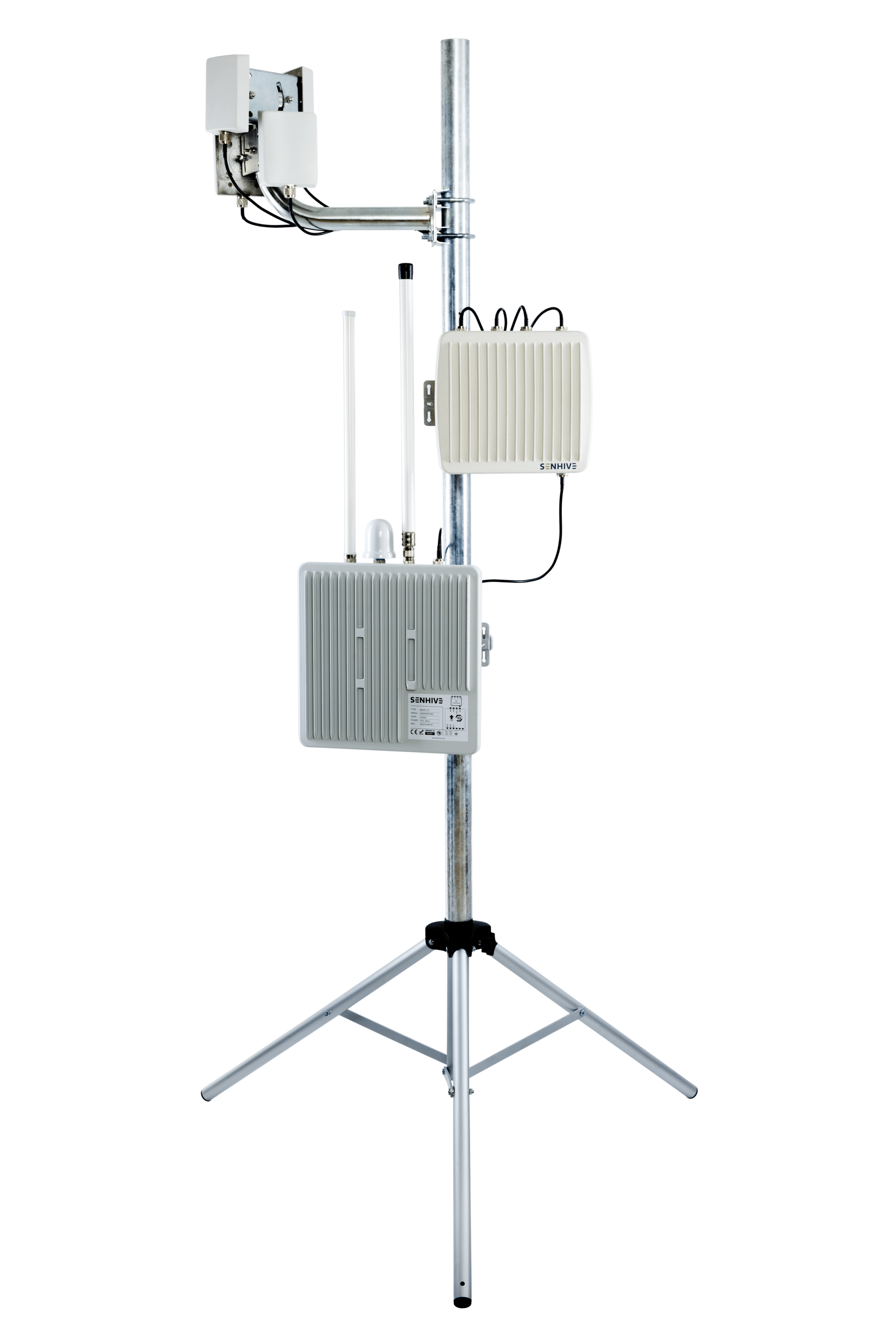
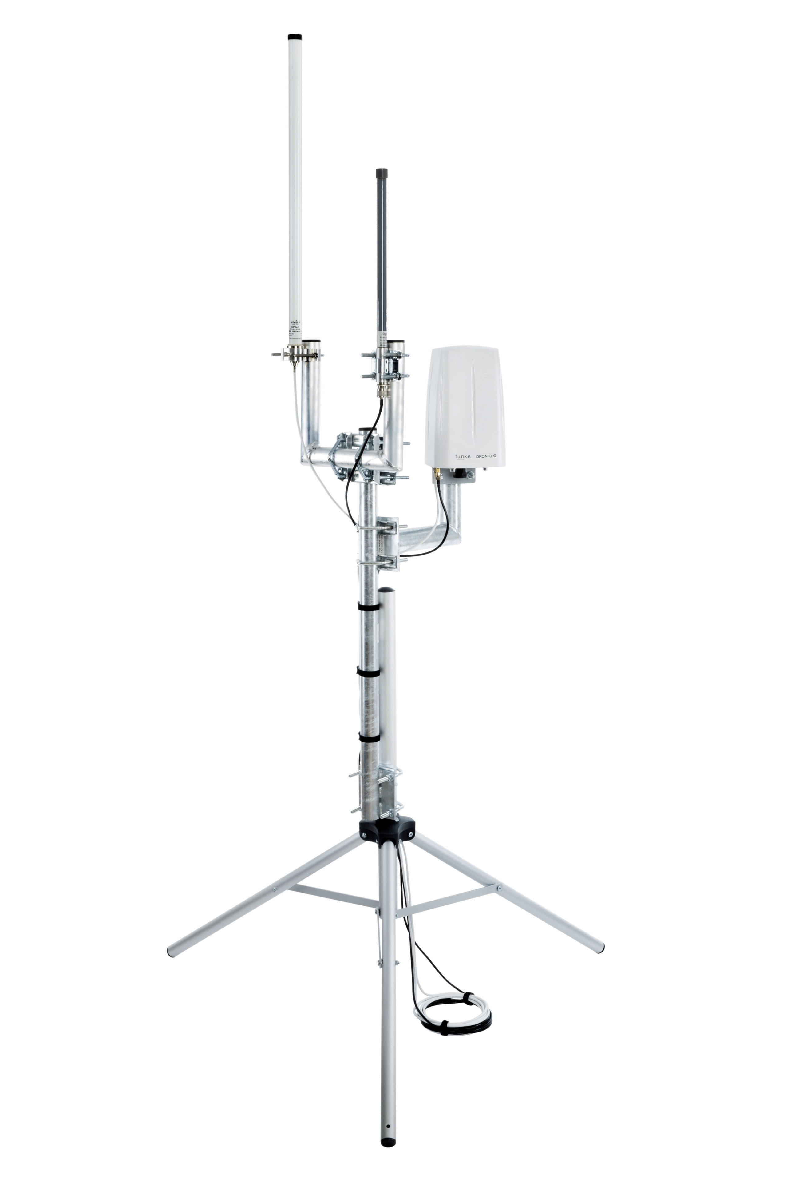
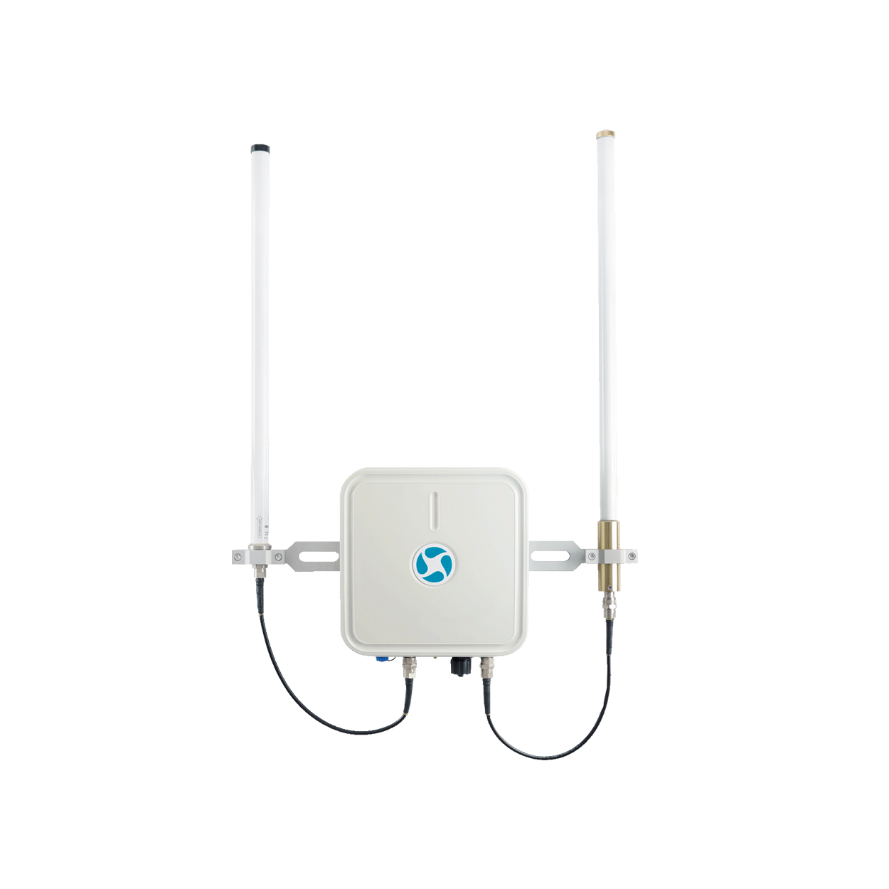
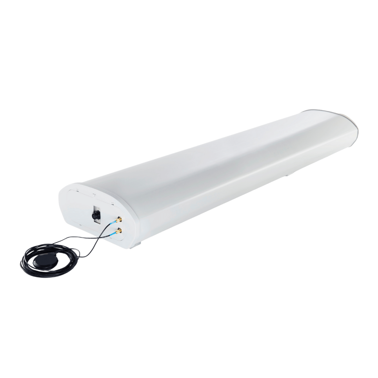
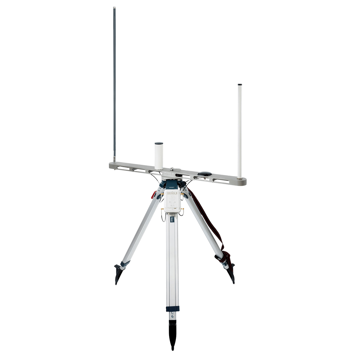
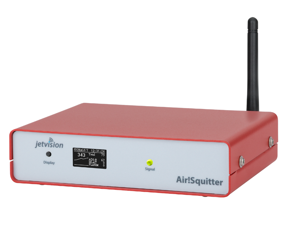
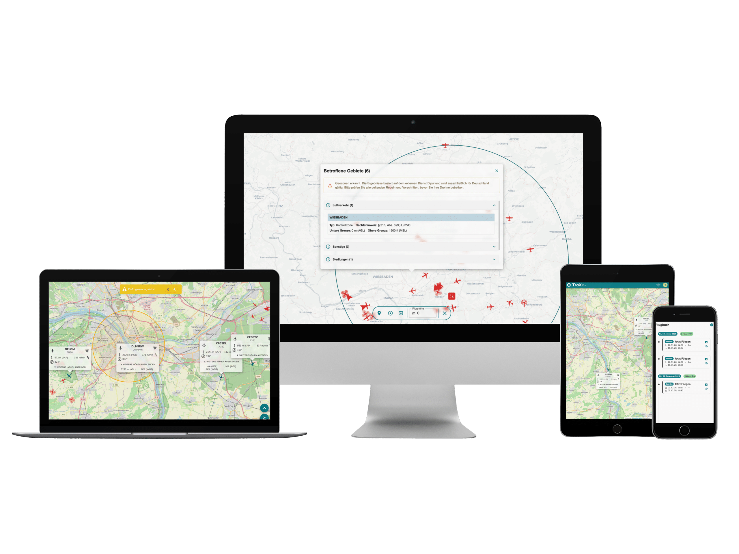
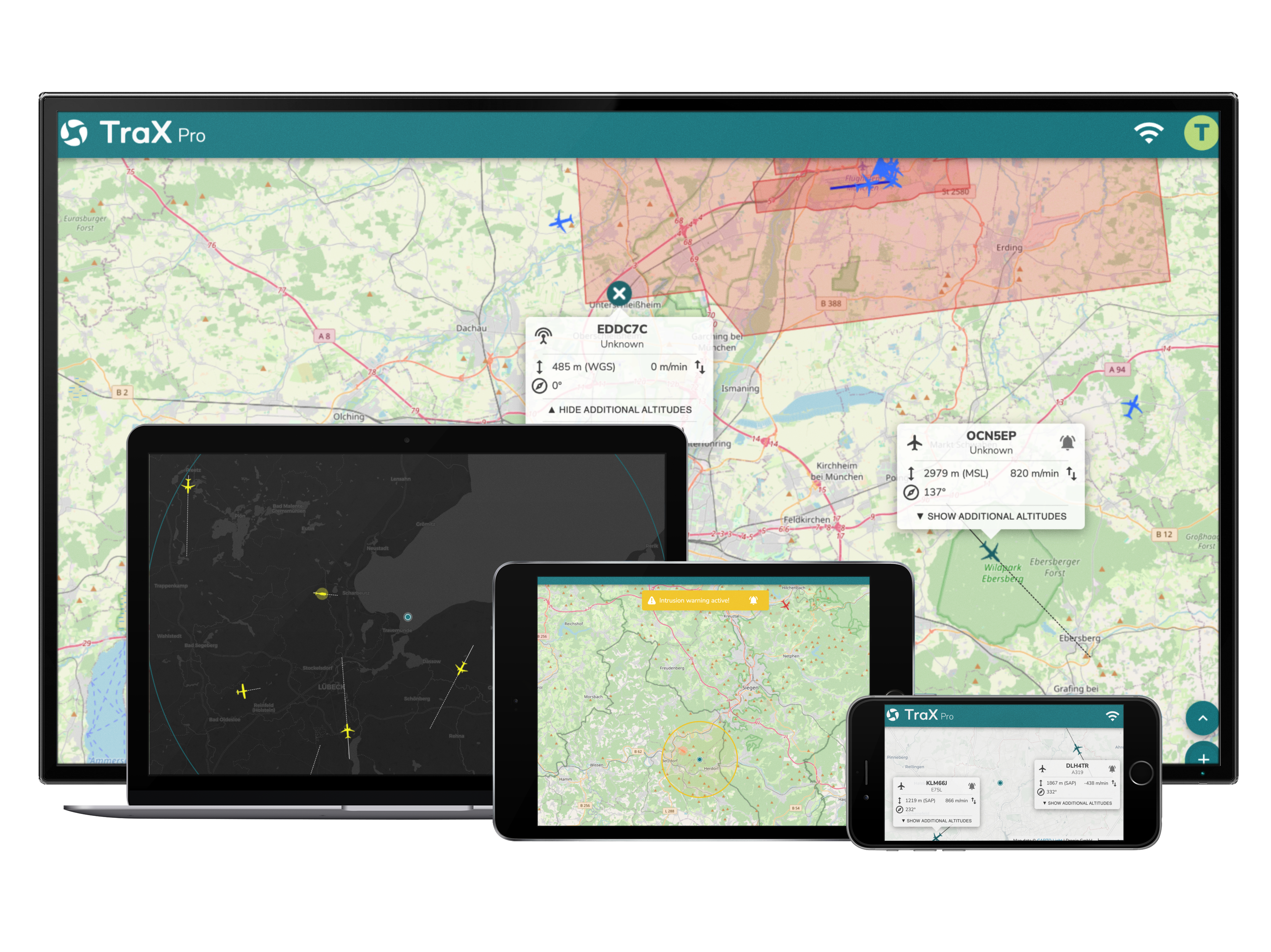
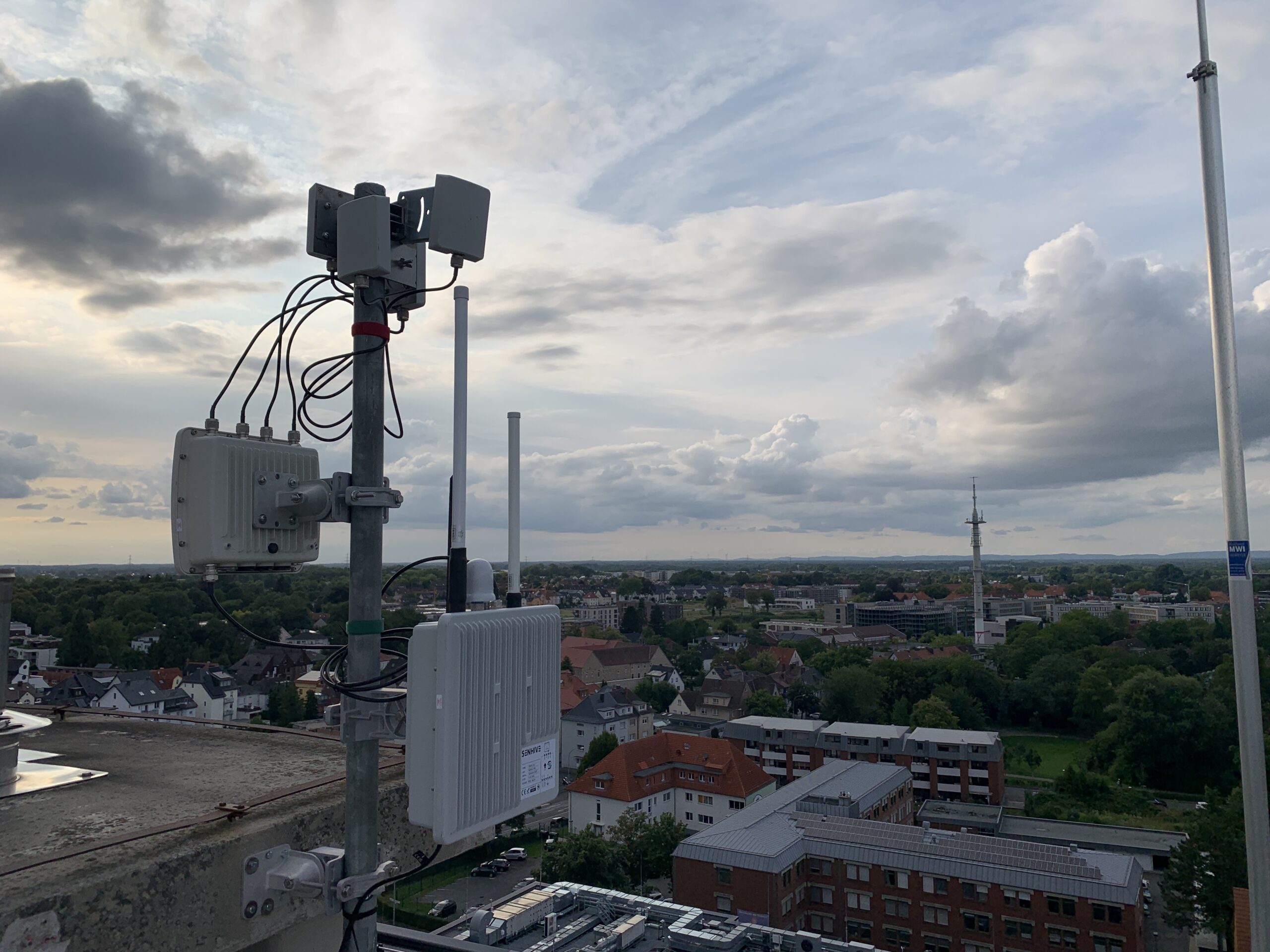
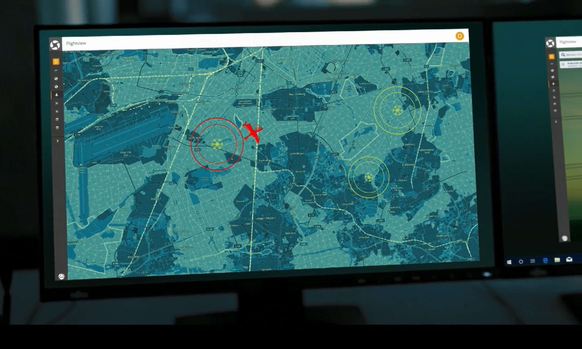
This is where MyZone Detection comes in as an optional extension. The solution detects drones within a defined area and compares their movements with predefined zones. If necessary, automated notifications can be triggered.
The added value:
Even flights that haven't been registered are included in the situational overview.
From an Overview to the Ability to Take Action
The combination of MyZone Manager and MyZone Detection provides, for the first time, a comprehensive overview of the situation in urban airspace:
- Approved flights are traceable
- Unknown activities become apparent
- Those in charge can respond in an informed manner
For local governments and policymakers, this means:
- a better basis for decision-making
- greater responsiveness
- greater transparency for citizens
Conclusion: Digital Control as the Foundation for Safe Cities
Drones will shape urban spaces in the long term. As a result, the need for clear processes, transparency, and digital support is also growing.
With MyZone Manager and the optional MyZone Detection add-on, municipalities now have the opportunity, for the first time, to monitor urban airspace in a structured, transparent, and responsible manner.
This provides policymakers and government officials with a key foundation for:
- To ensure safety
- Clearly define responsibilities
- and to actively shape the growing use of airspace