
































Why Transparency in Airspace Is Becoming Increasingly Important
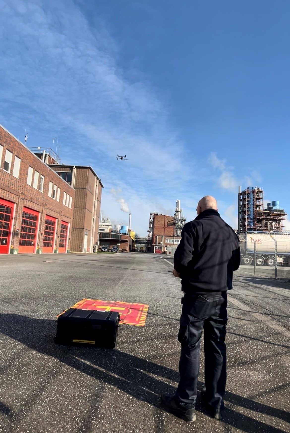
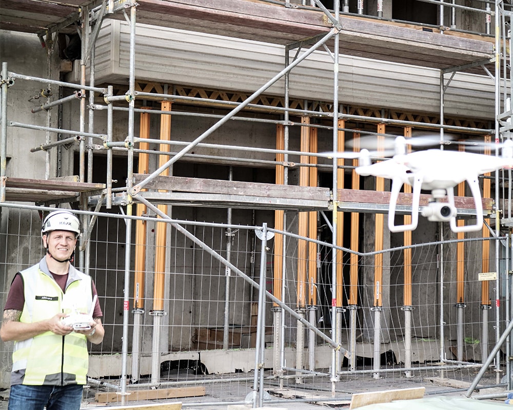
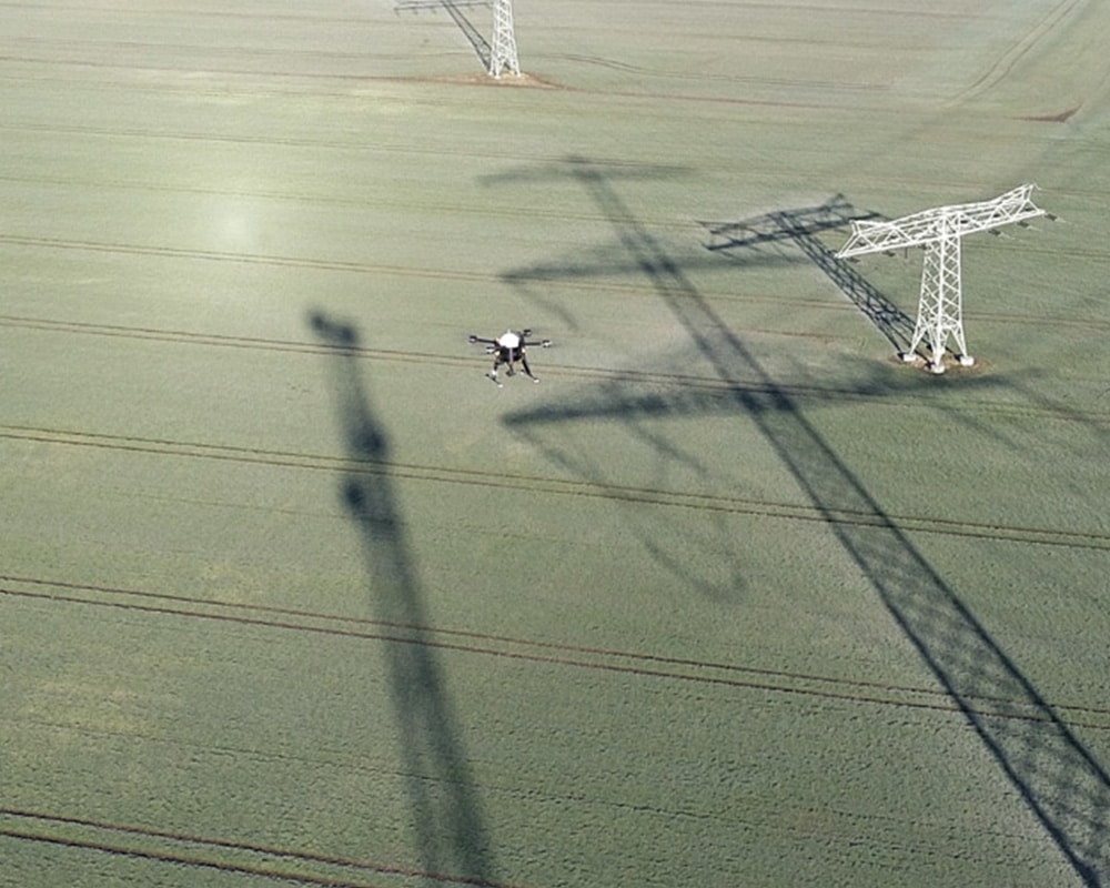
Drones have long since become more than just an innovation project for individual industries. They are increasingly being used for inspections, surveying, logistics, disaster response, and security tasks. At the same time, the challenge of ensuring that low-altitude airspace is transparent and safe is growing.
Against this backdrop, Klaus-Peter Willsch, a member of the Bundestag and chair of the Parliamentary Group on Aviation and Space, met with representatives from Droniq GmbH and DFS German Air Traffic Control to discuss current developments and challenges in the field of drone safety.
The discussion focused in particular on airspace surveillance, the protection of critical infrastructure, and the safe integration of unmanned aviation.
Drones offer opportunities—but they also present new challenges
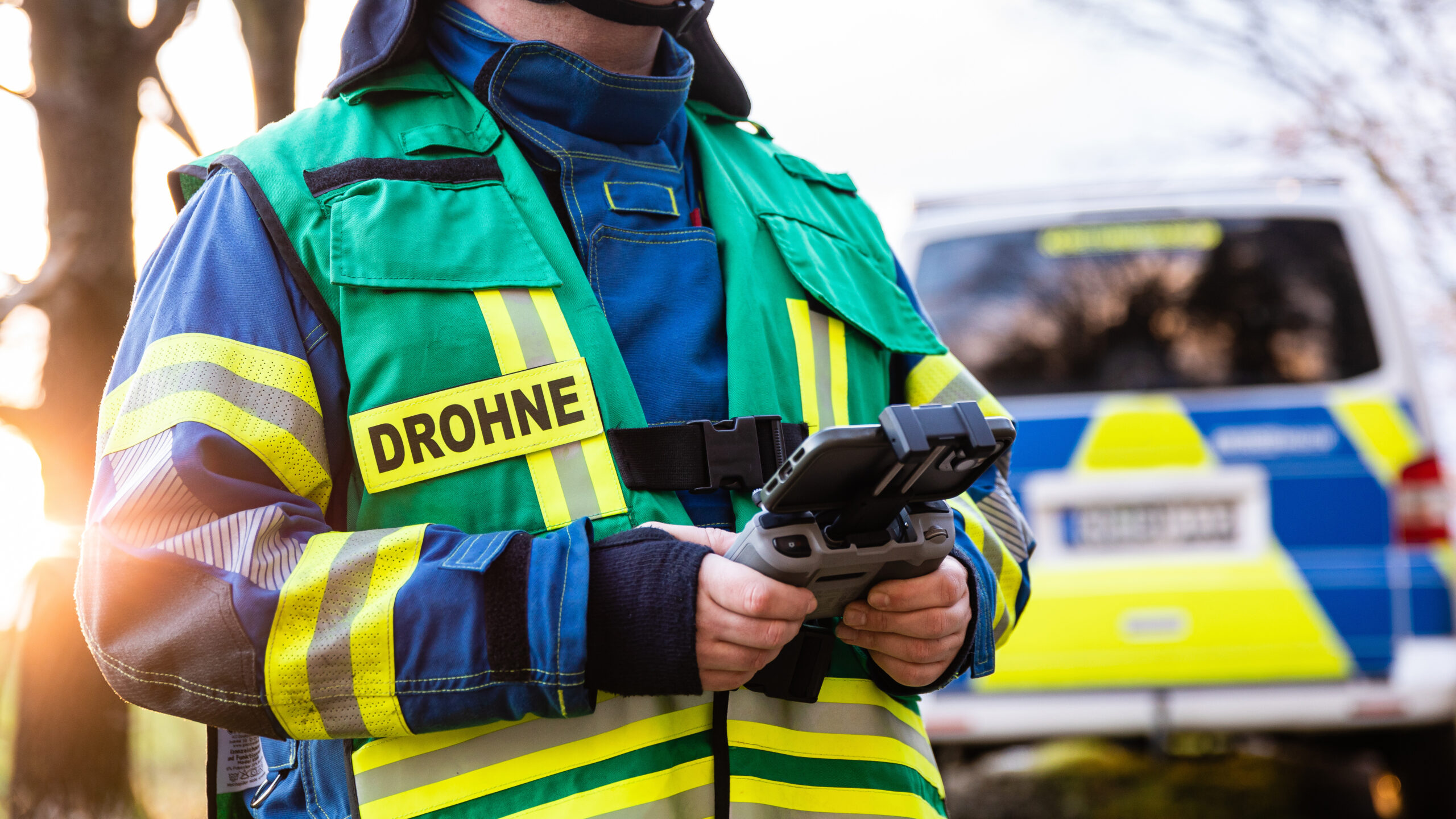
The number of professional drone operations is growing steadily. Municipalities, government agencies, energy providers, industrial companies, and operators of critical infrastructure are increasingly using drones for important tasks.
At the same time, there is a growing need to know at all times:
- Which drones are allowed to fly in a given area?
- Which drones are actually in the airspace?
- Is this a known or unknown flight?
- Is there a need for security managers to take action?
Only when these questions can be answered reliably can risks be identified early on and well-informed decisions be made.
Transparency as the Foundation for Sound Decisions
A key topic of the discussion was the growing importance of a transparent air situation.
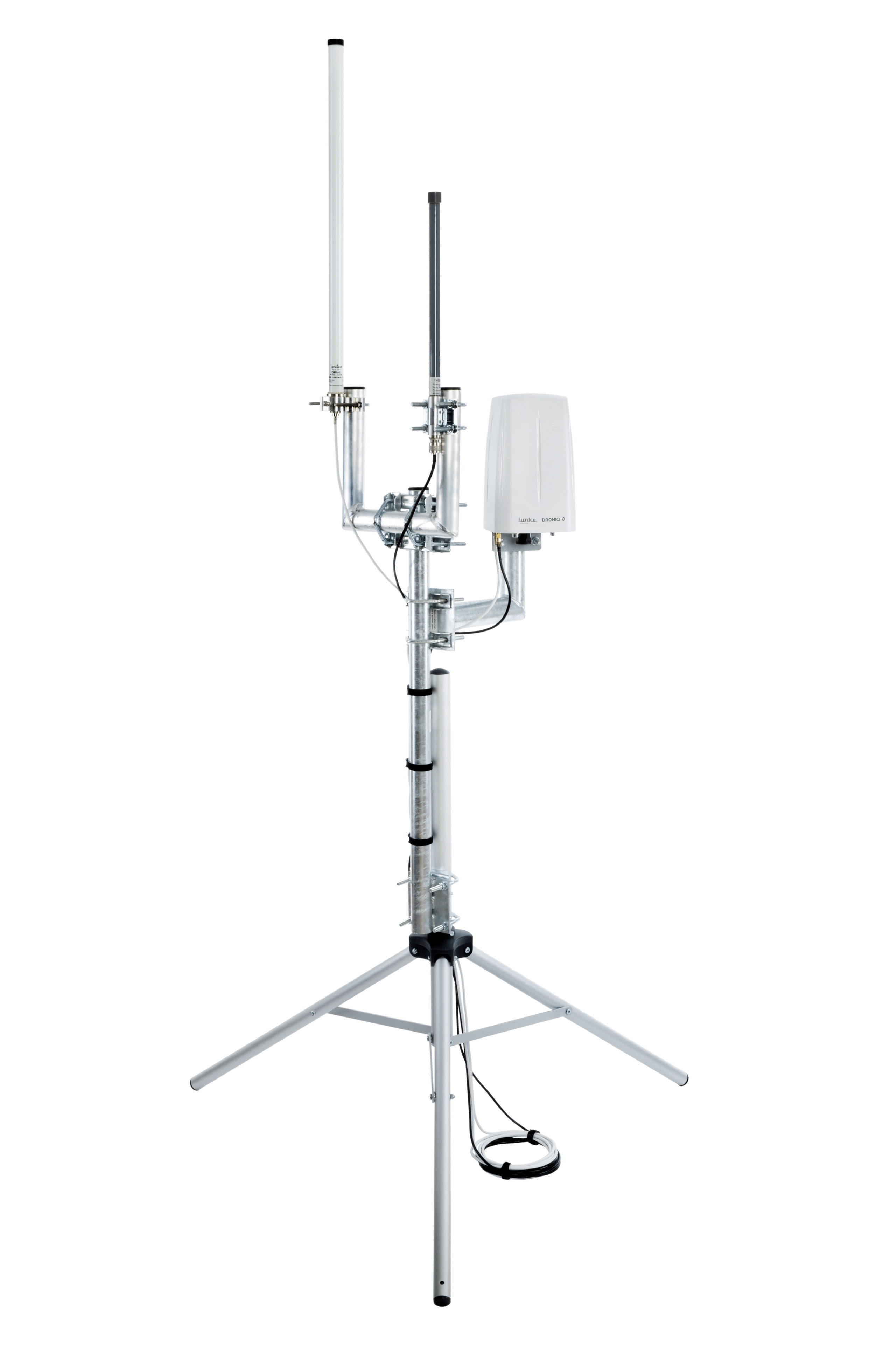
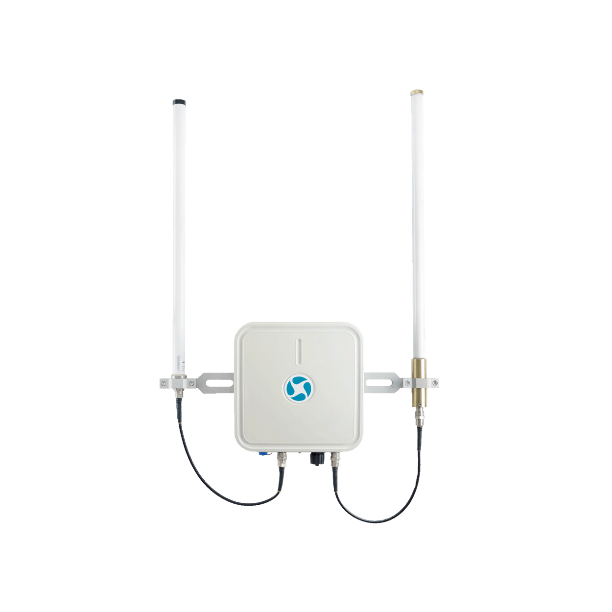
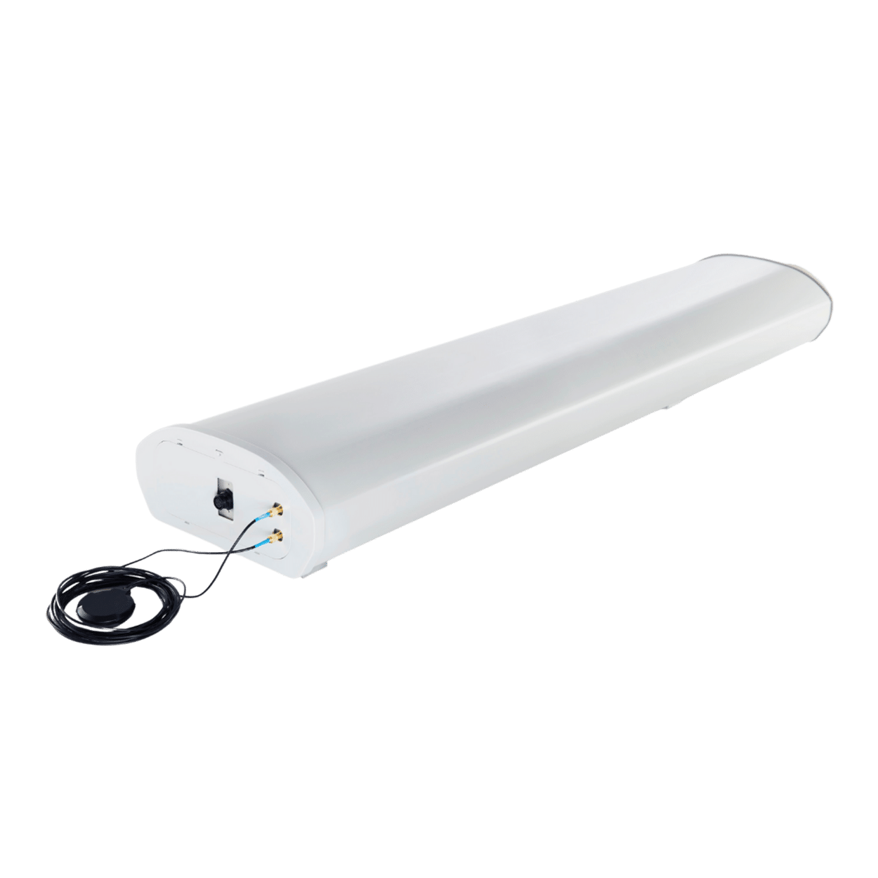
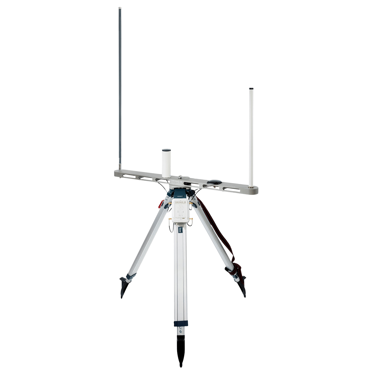
Droniq helps organizations gain visibility into low-altitude airspace and better assess drone activity. The goal is to provide decision-makers in government agencies, security organizations, KRITIS facilities, and companies with the information they need to make quick and informed assessments.
MyZone Detection: Detecting and Assessing Drone Activity
As part of the exchange, the MyZone Detection solution was also presented.
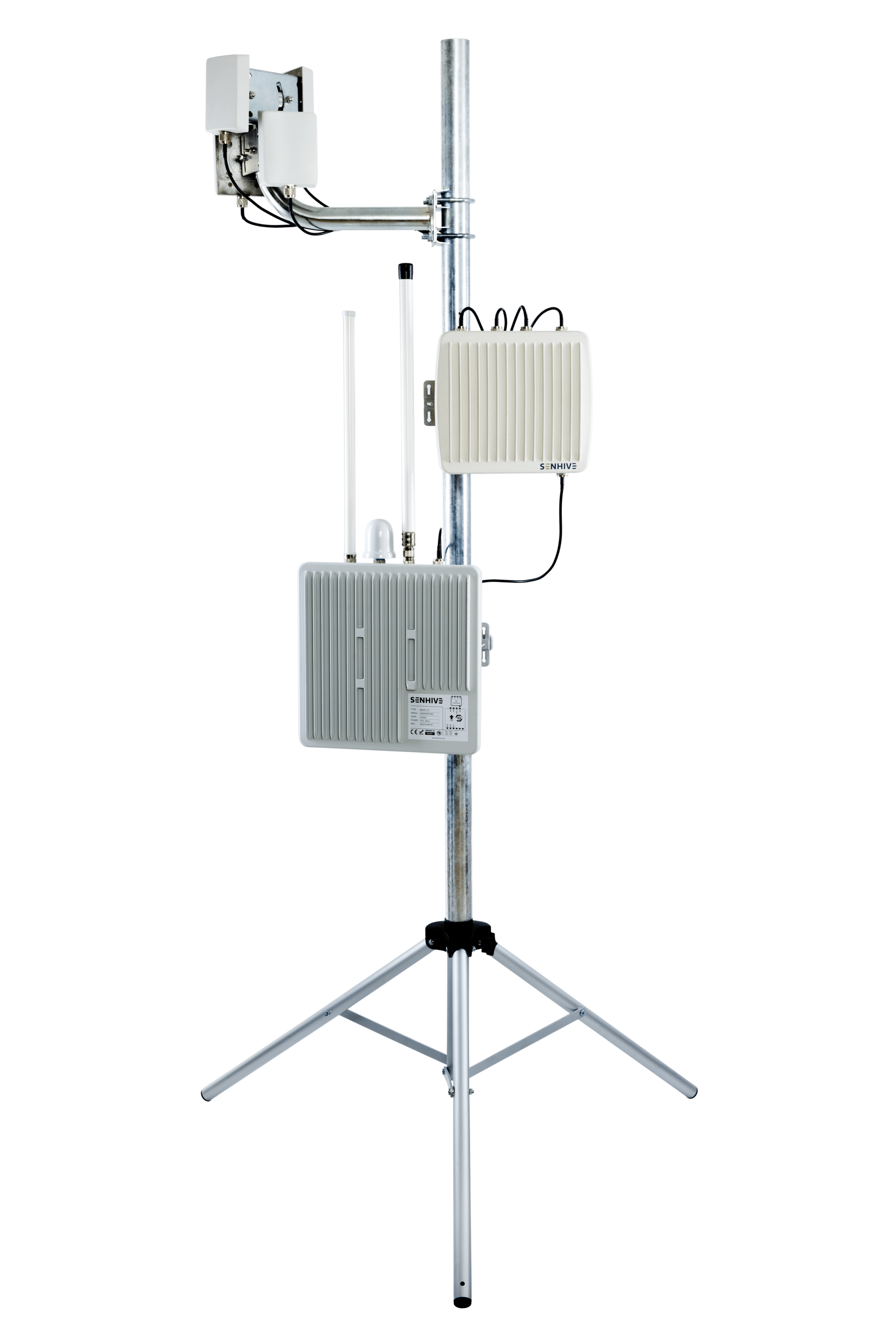
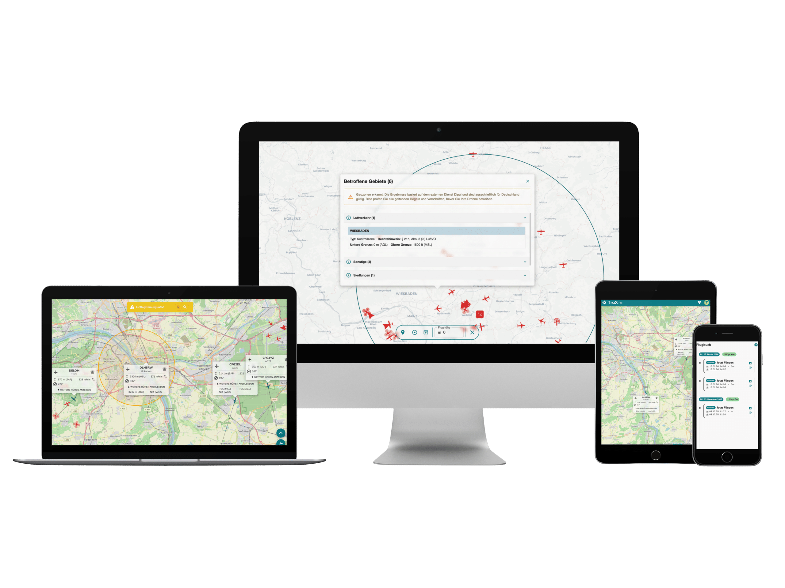
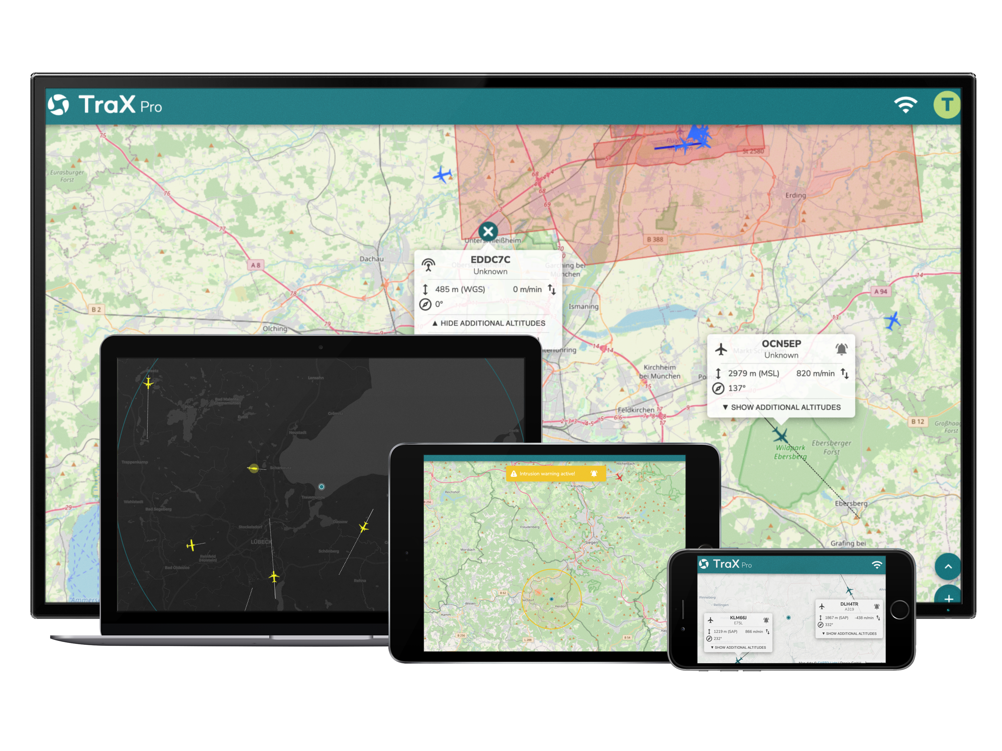
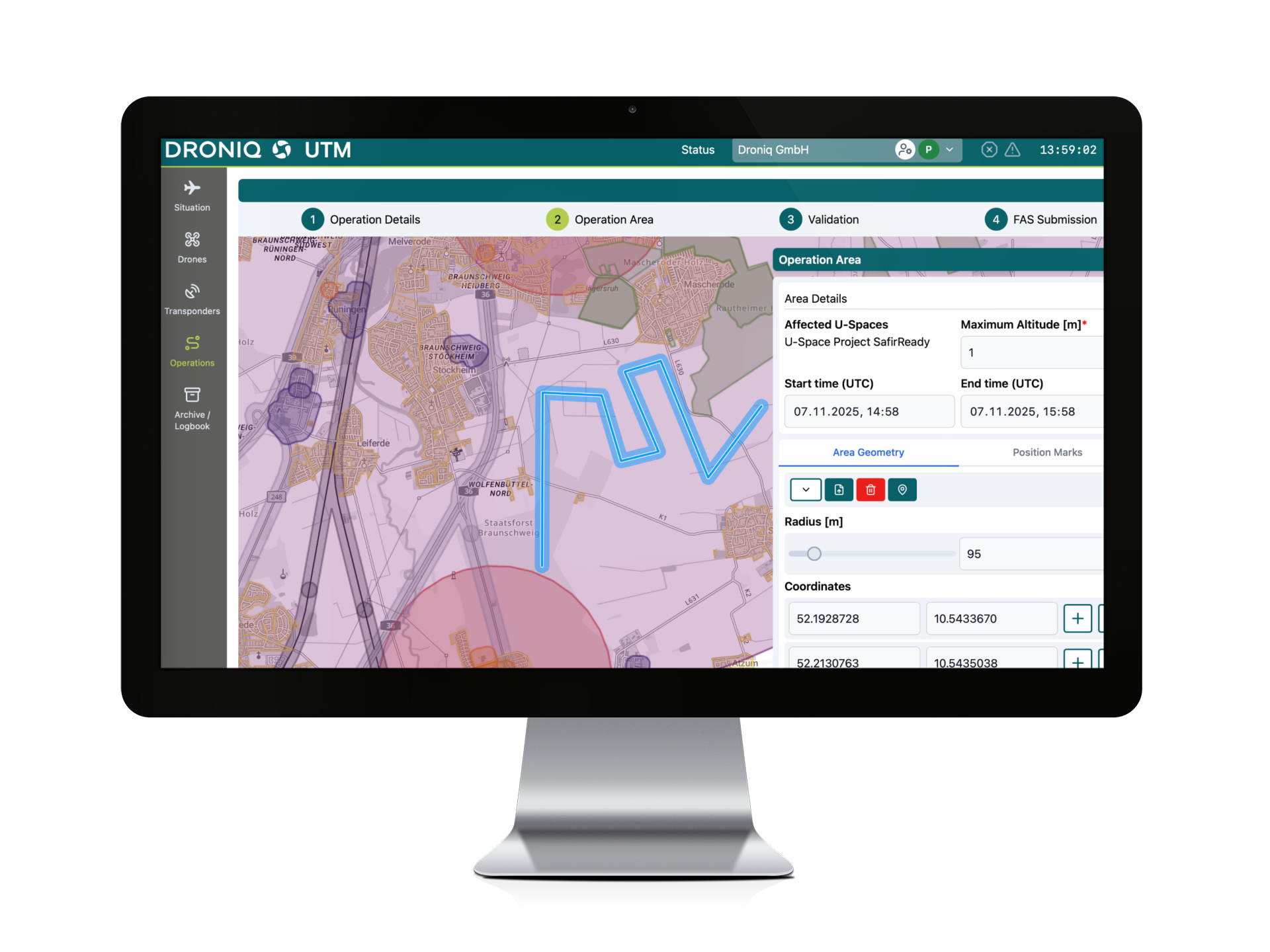
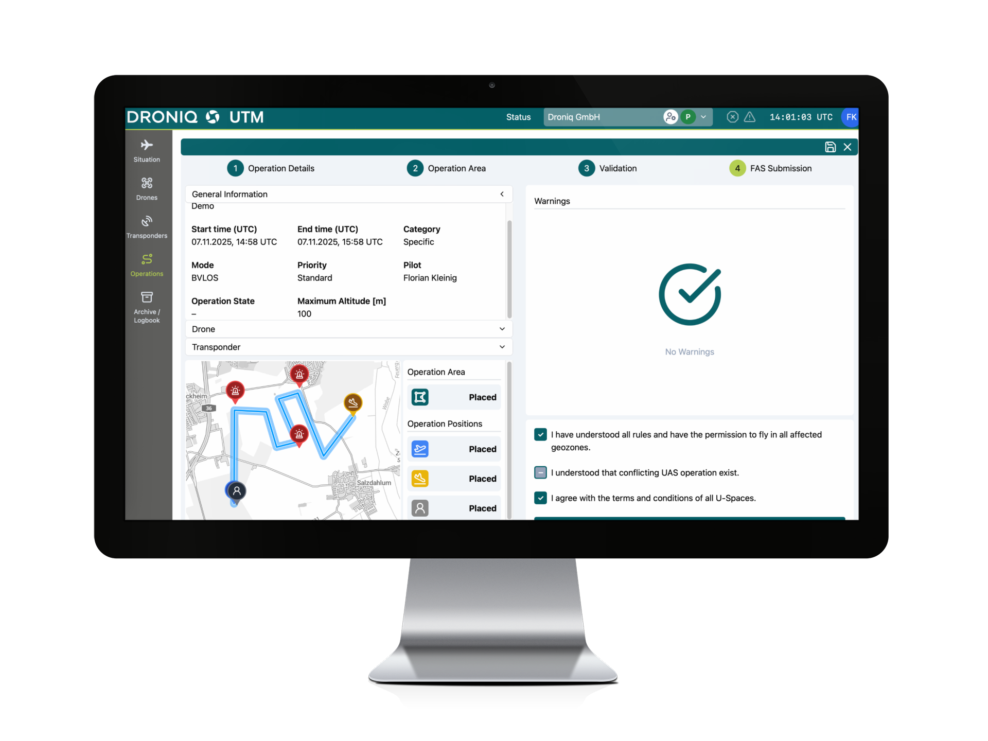
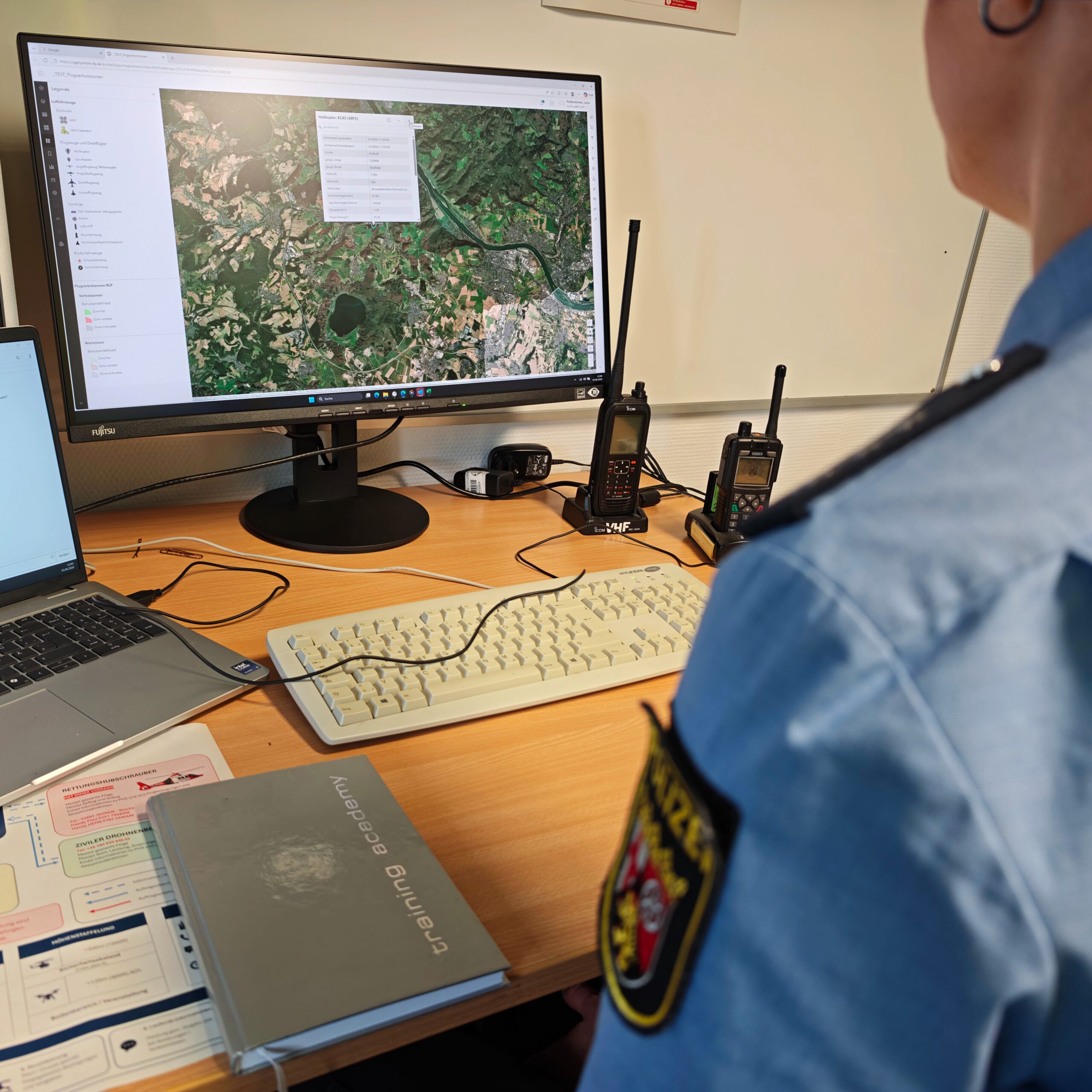
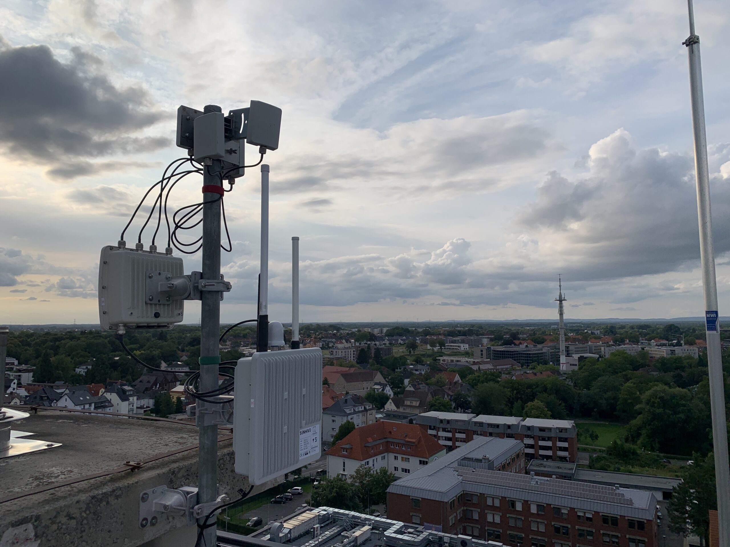
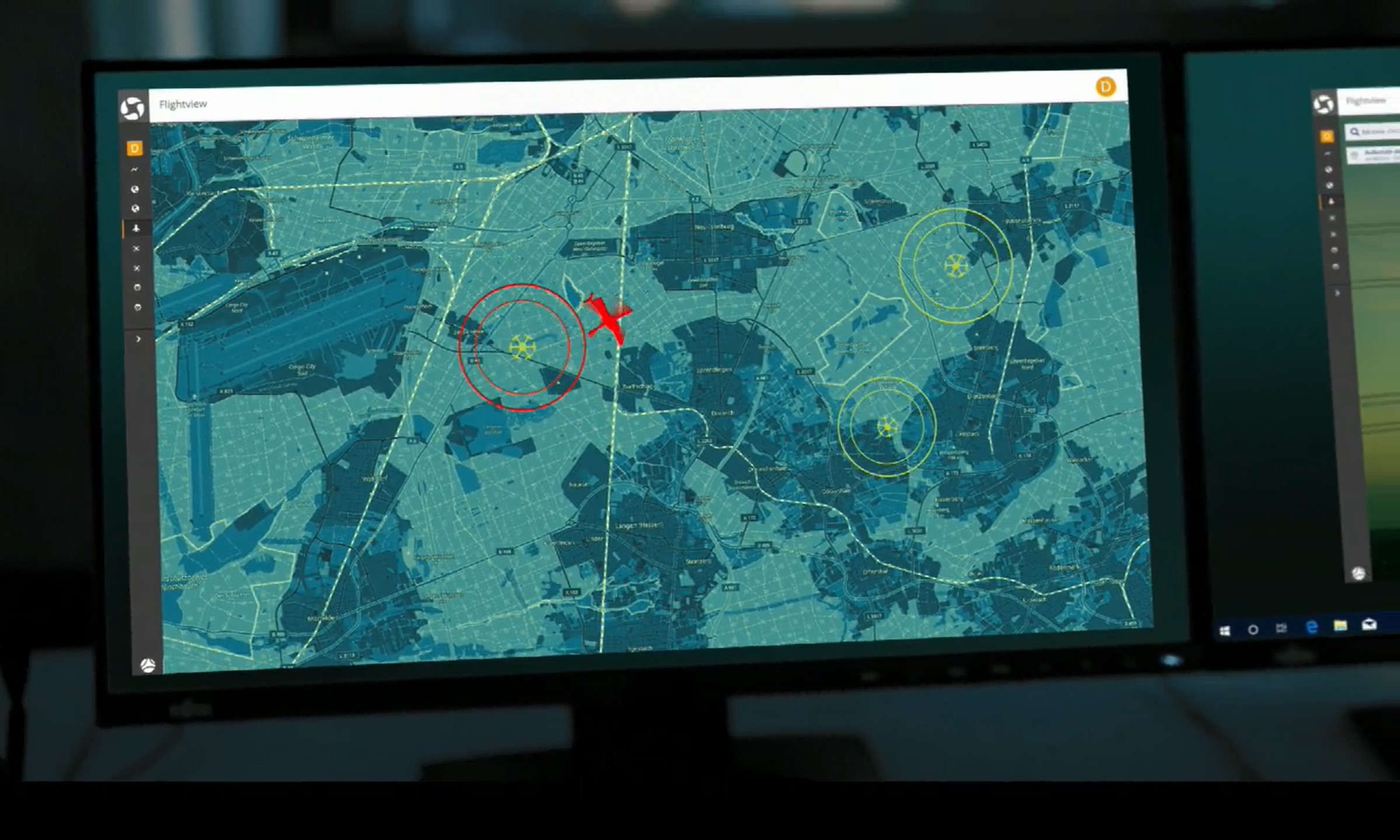
The software helps organizations monitor low-altitude airspace and detect drone activity early on. Detected drones, flight paths, and safety zones are displayed in a centralized situational overview. In addition, defined monitoring areas can be set up, and notifications can be triggered when relevant events occur.
This is particularly relevant for:
- Critical Infrastructure
- Airports and Aviation Hubs
- Industrial and chemical companies
- Energy provider
- Police and Security Agencies
- Fire Departments and Law Enforcement Agencies
- Venues and Major Events
From Recognition to Situational Awareness
Today, modern drone security means more than just detection.
Droniq takes an approach that integrates information from flight management, air situation awareness, and drone detection. This makes it possible to determine whether a detected drone can be linked to a known and authorized flight or whether it represents a previously unknown activity. Only this integration enables a well-founded assessment of potential risks and helps decision-makers prioritize appropriate measures.