







































Why Transparency in Airspace Is Becoming Increasingly Important
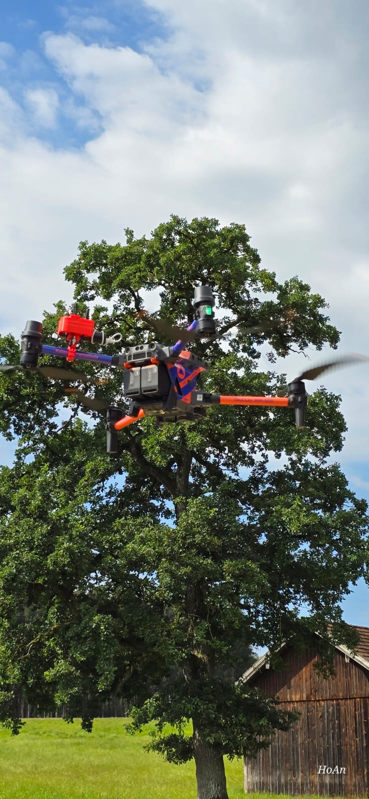
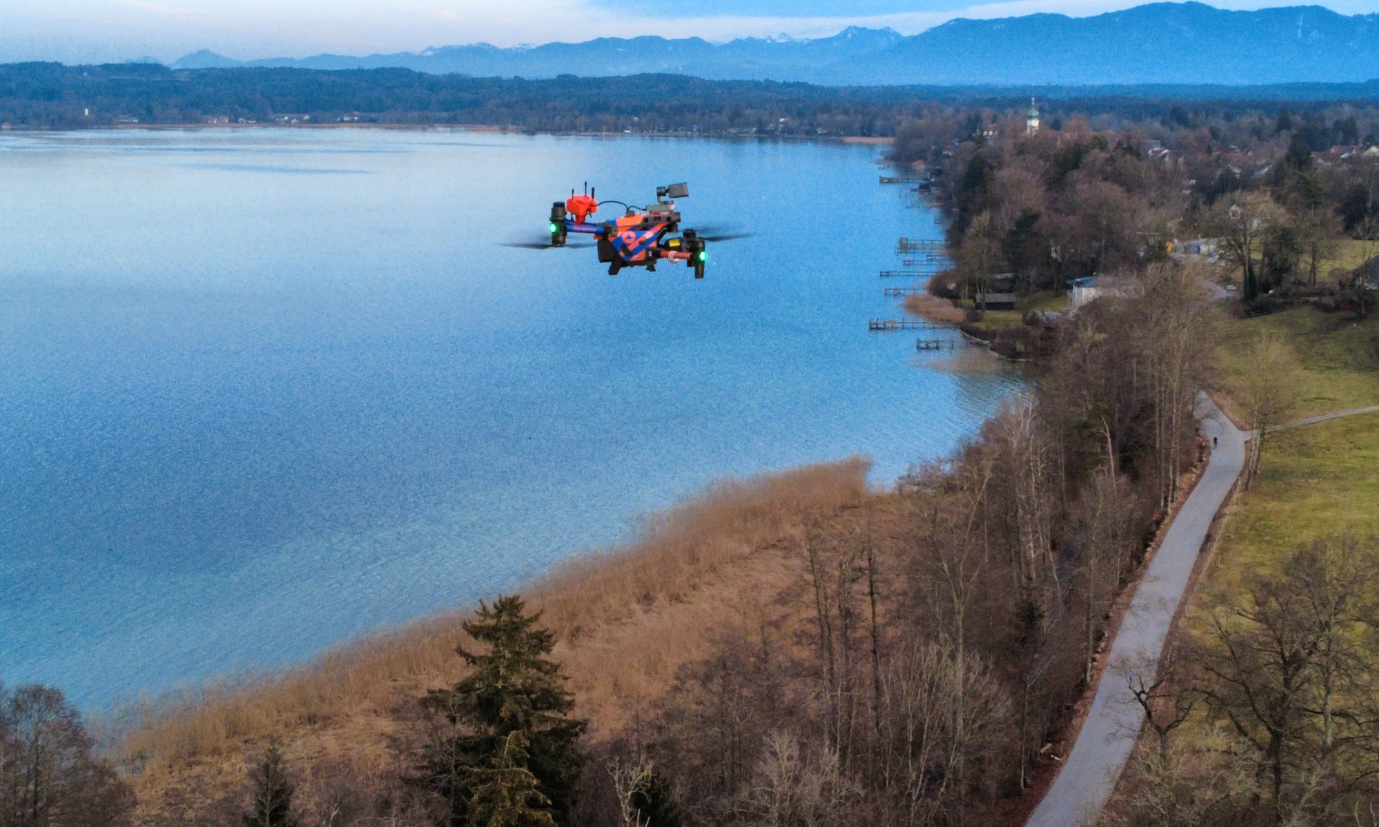
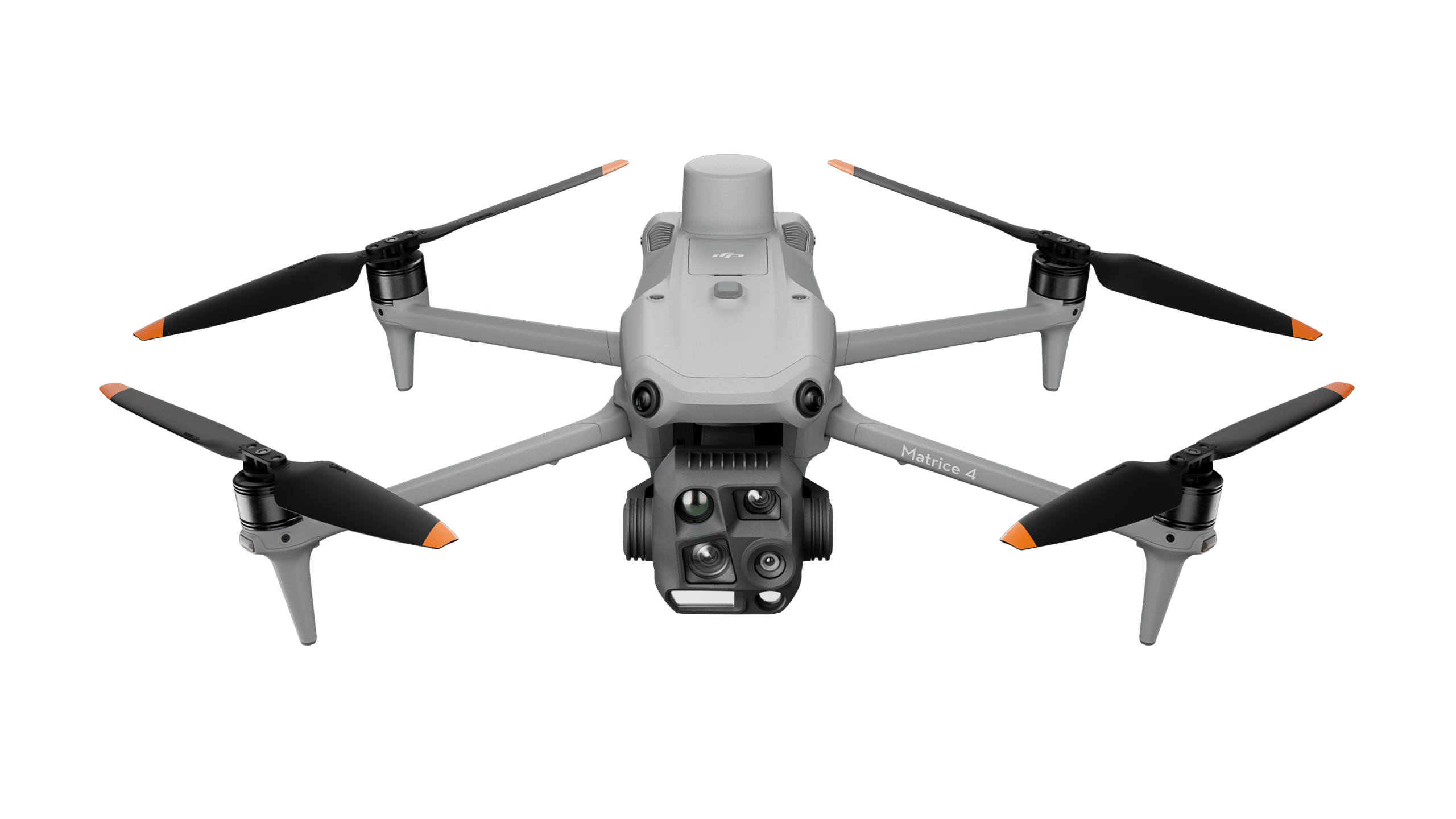
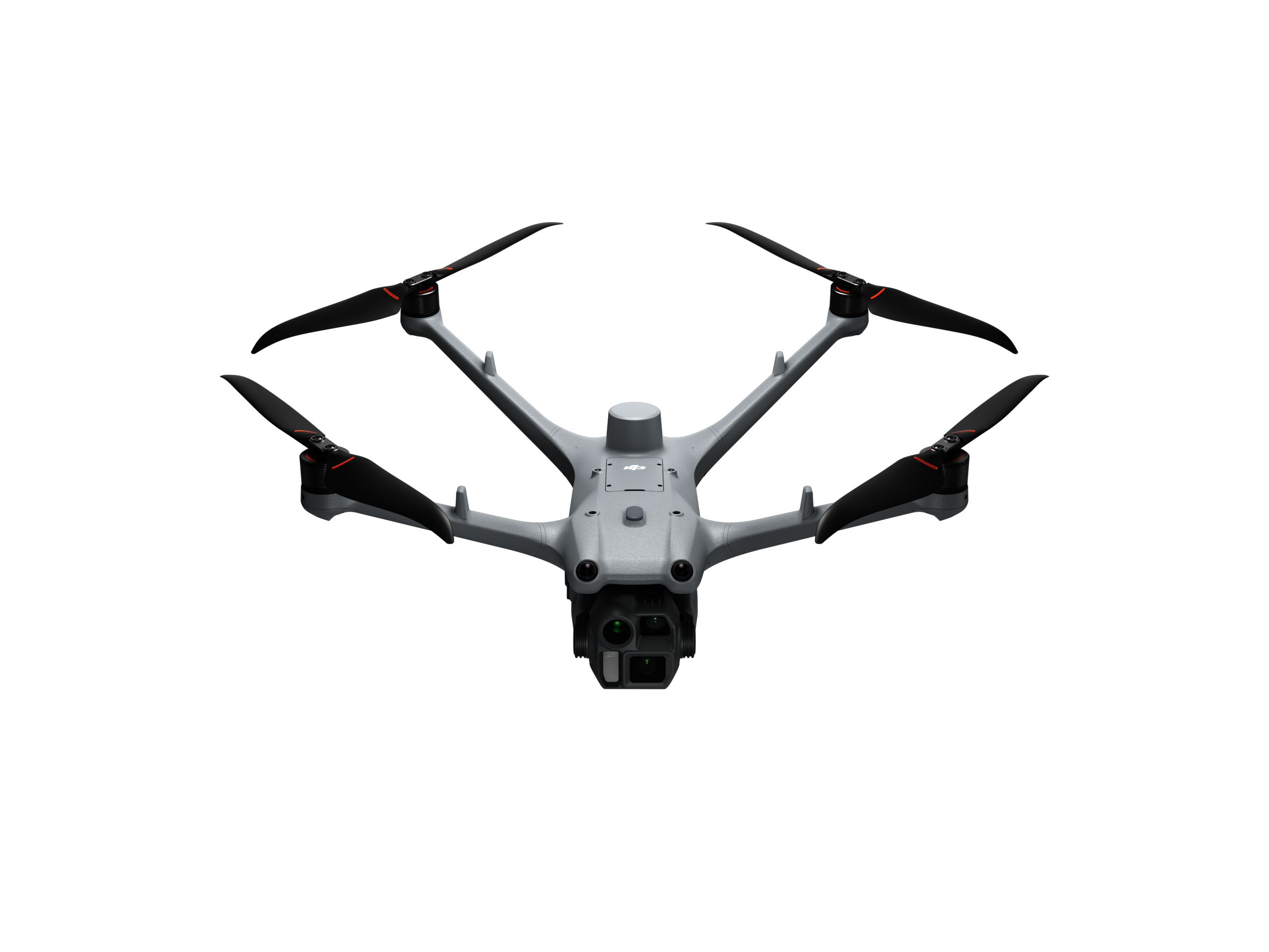
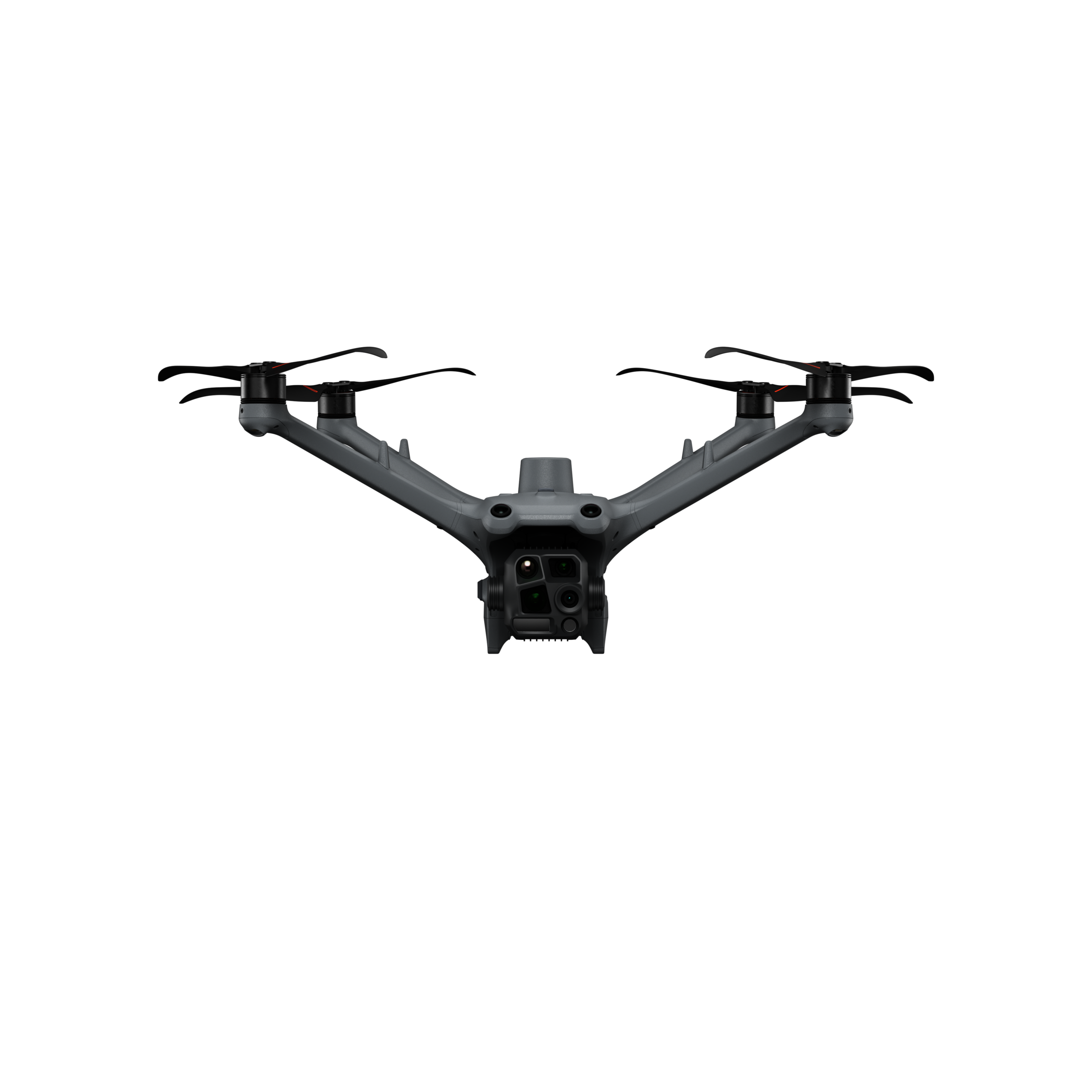
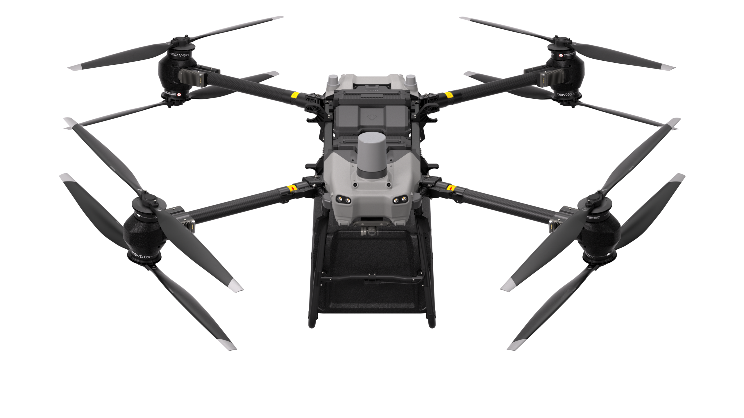
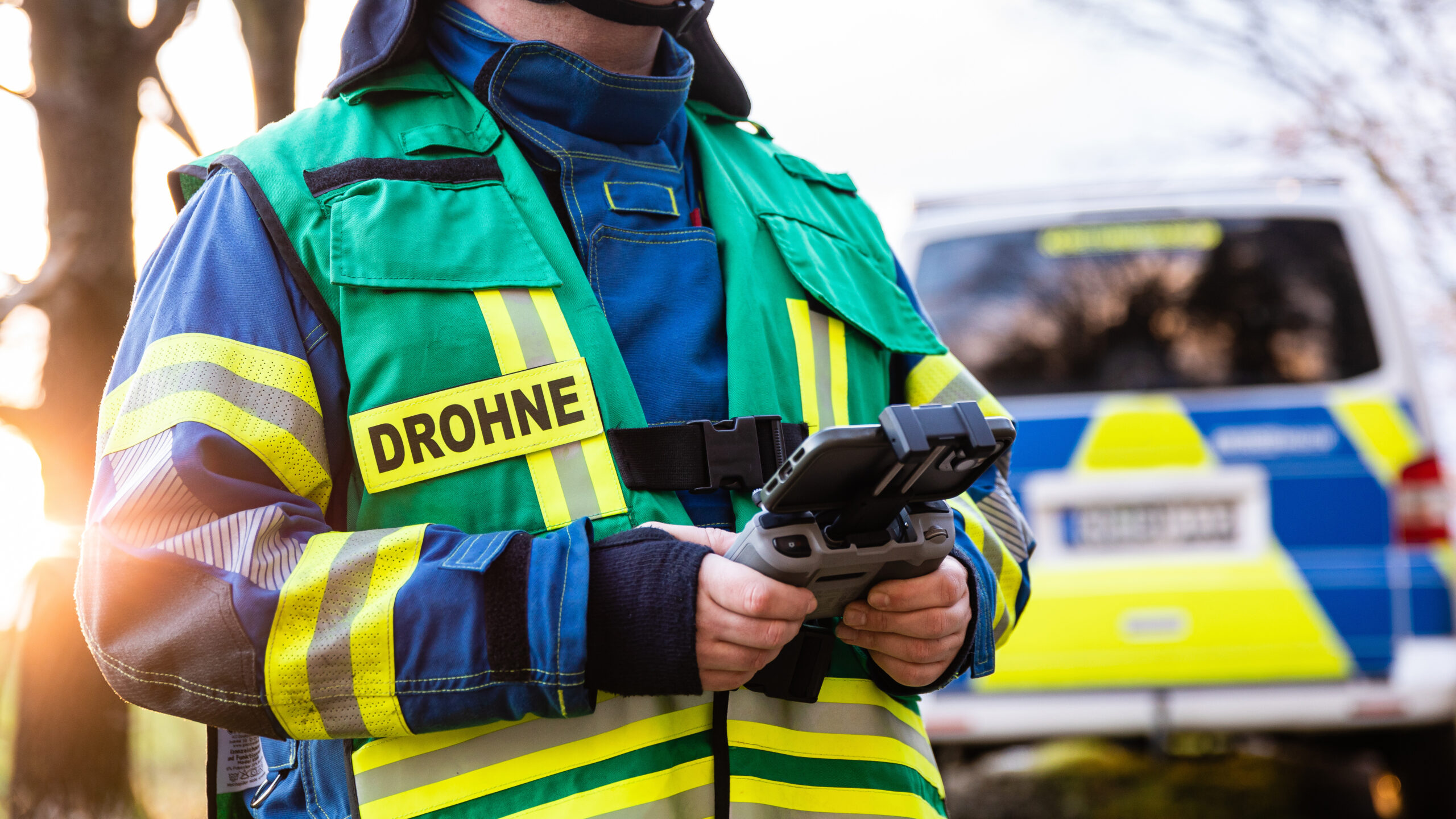
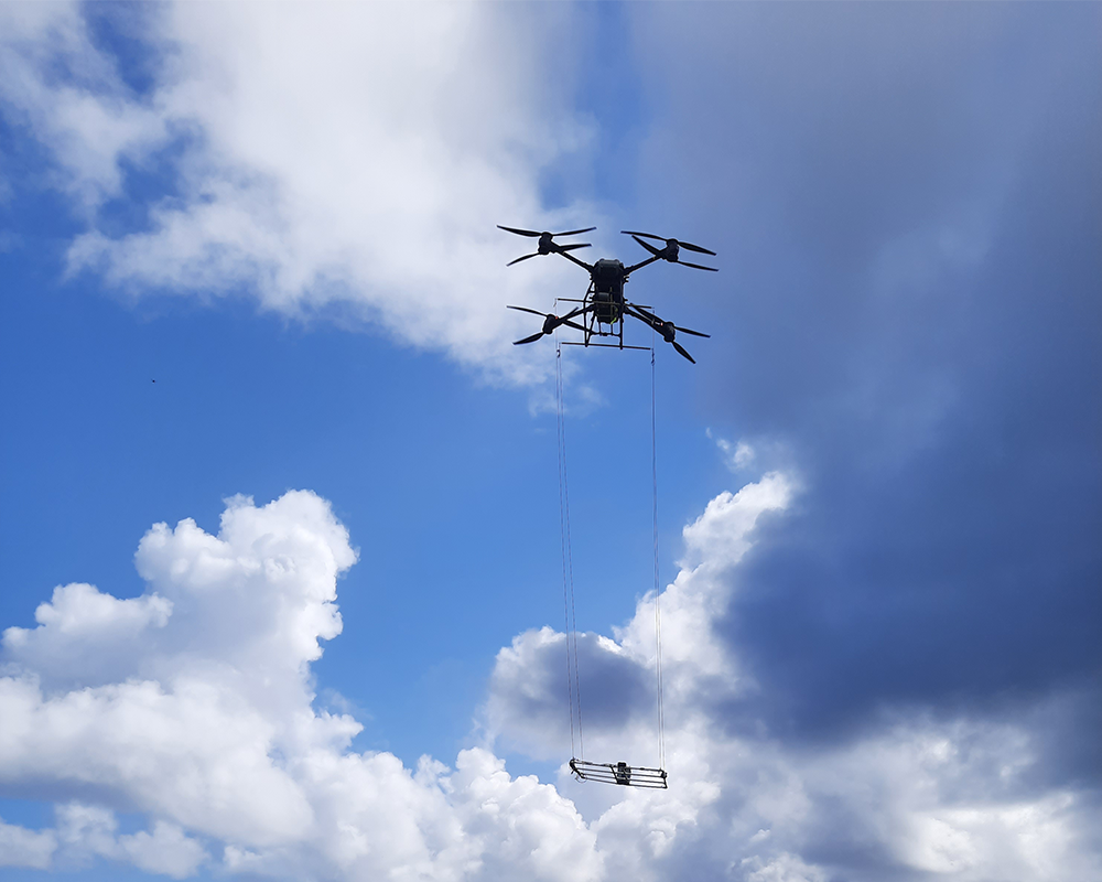
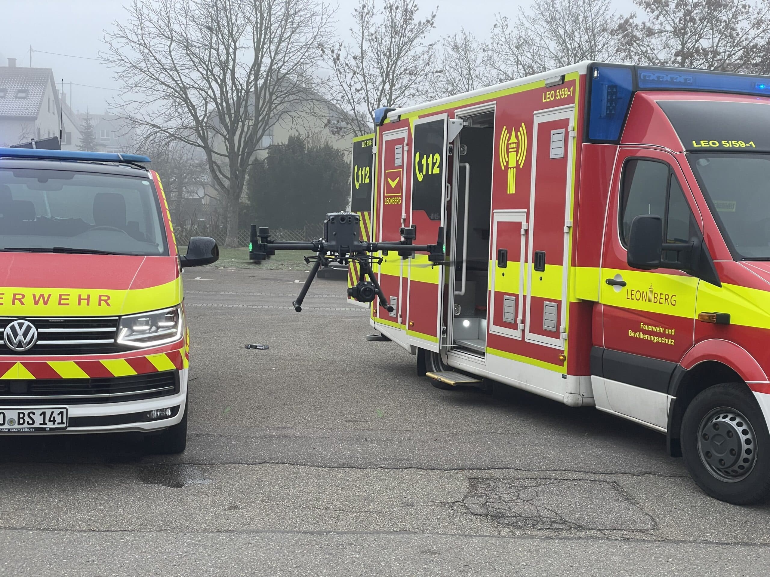
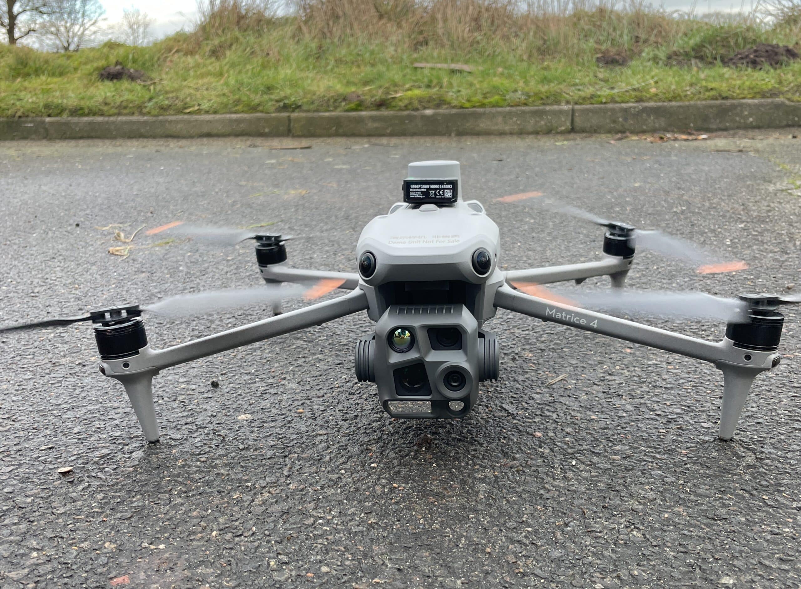
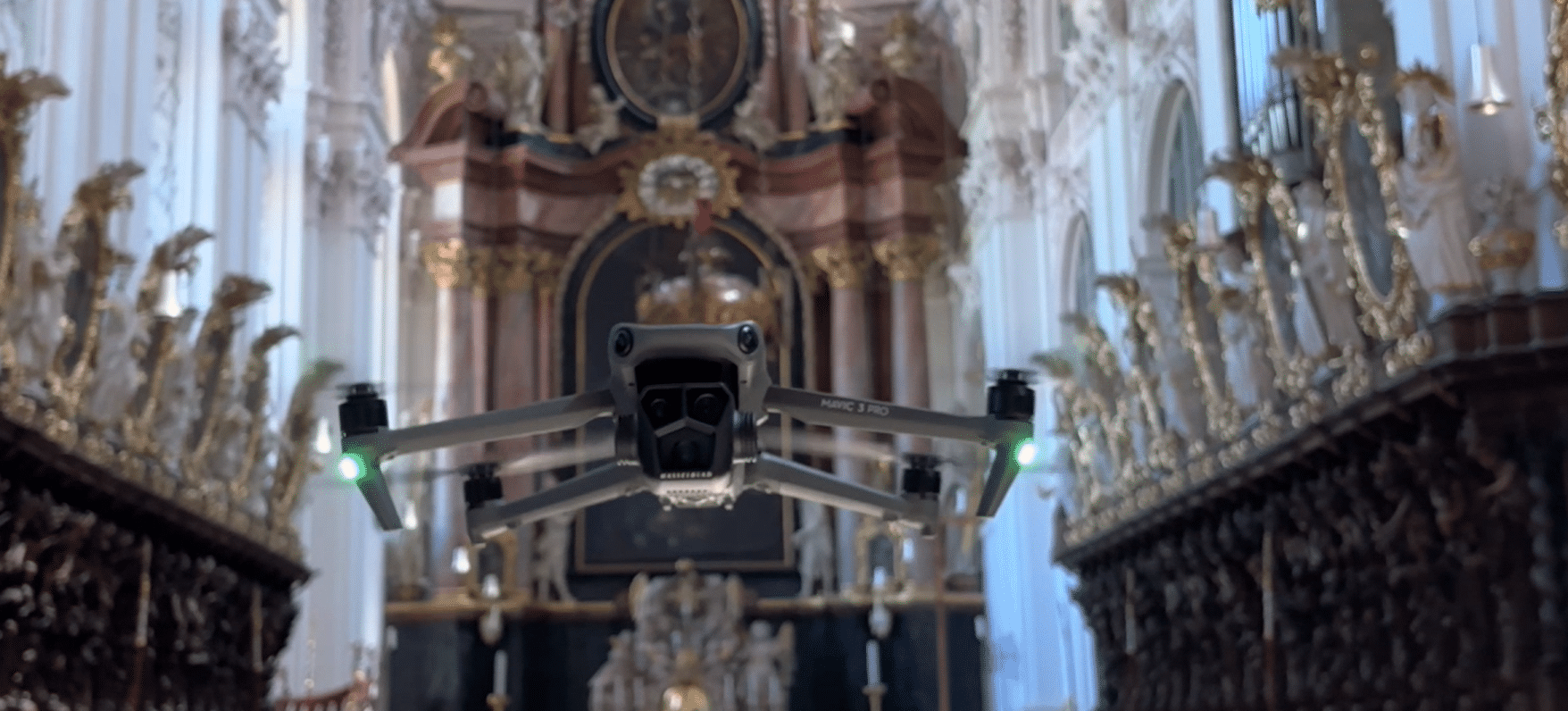
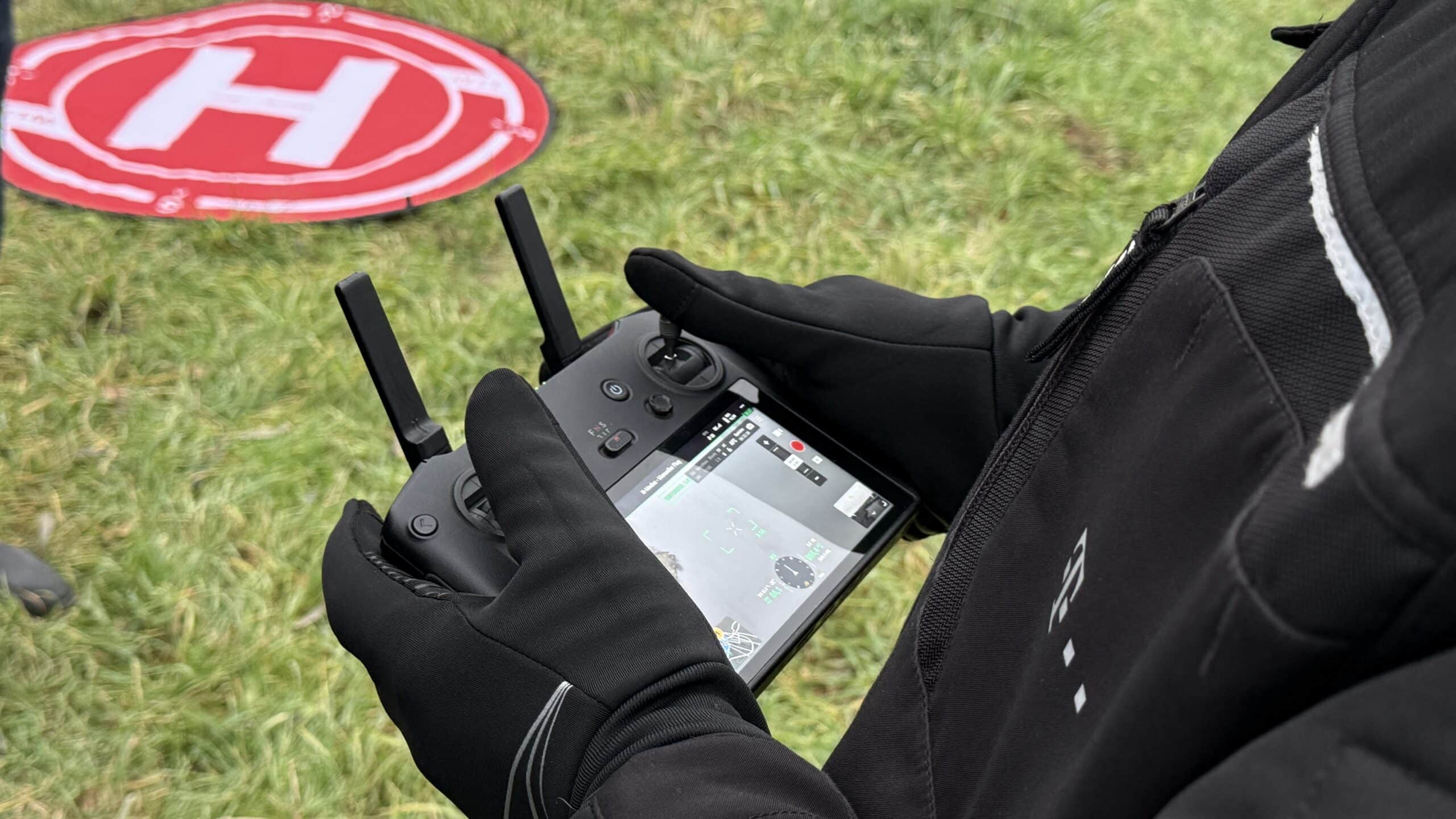
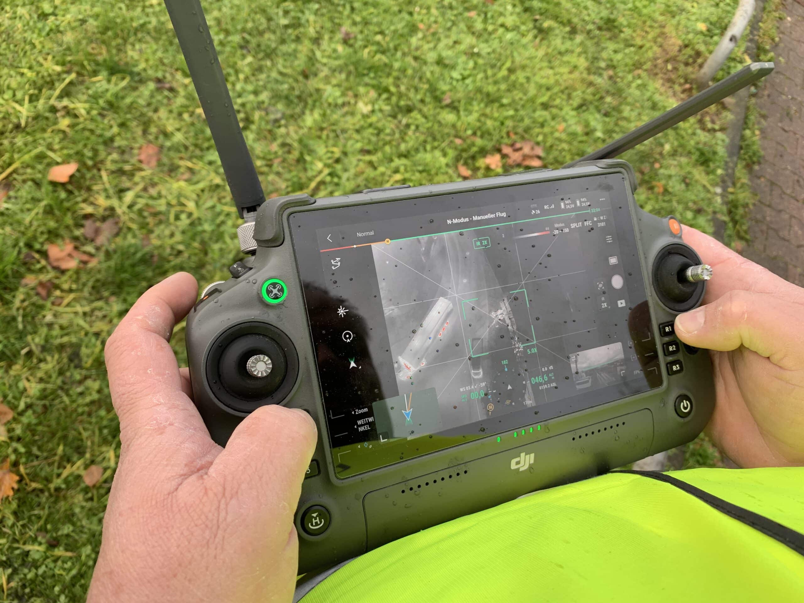
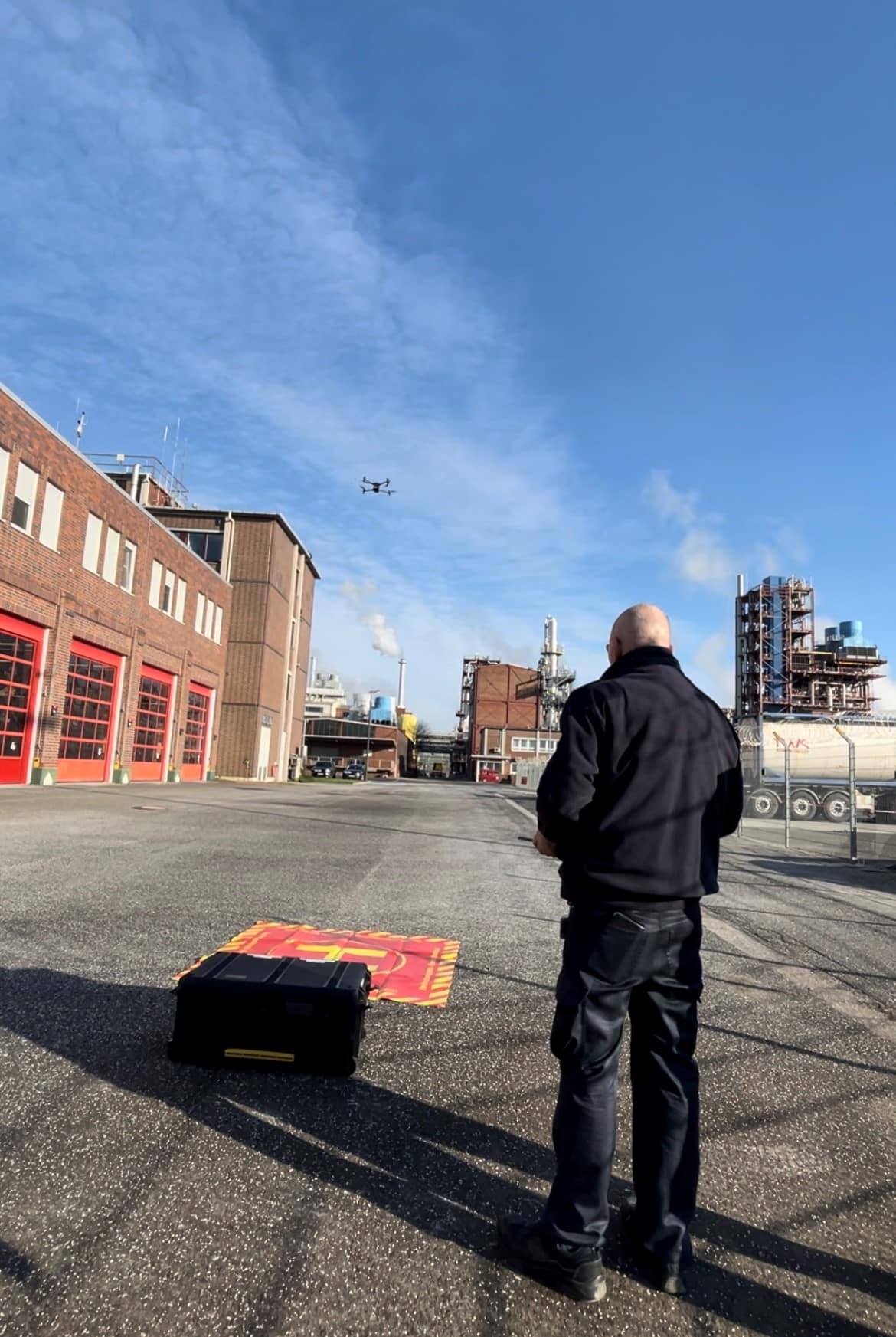
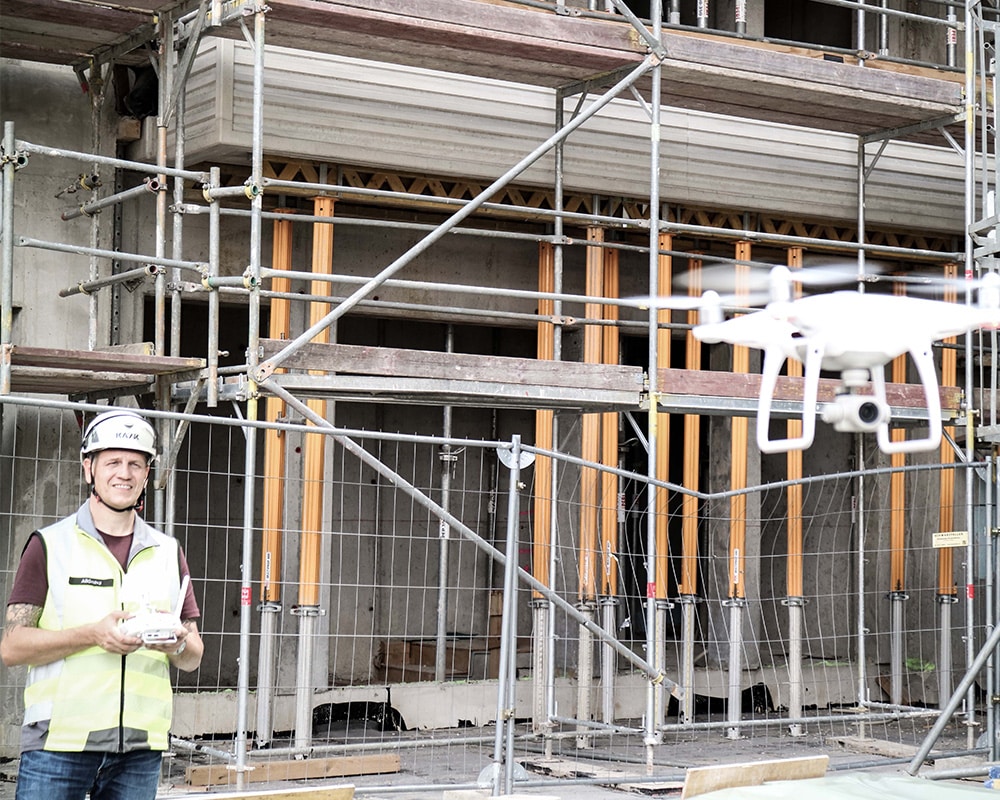
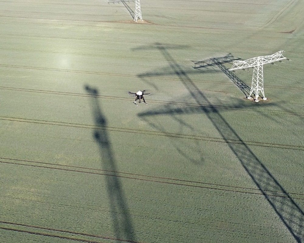
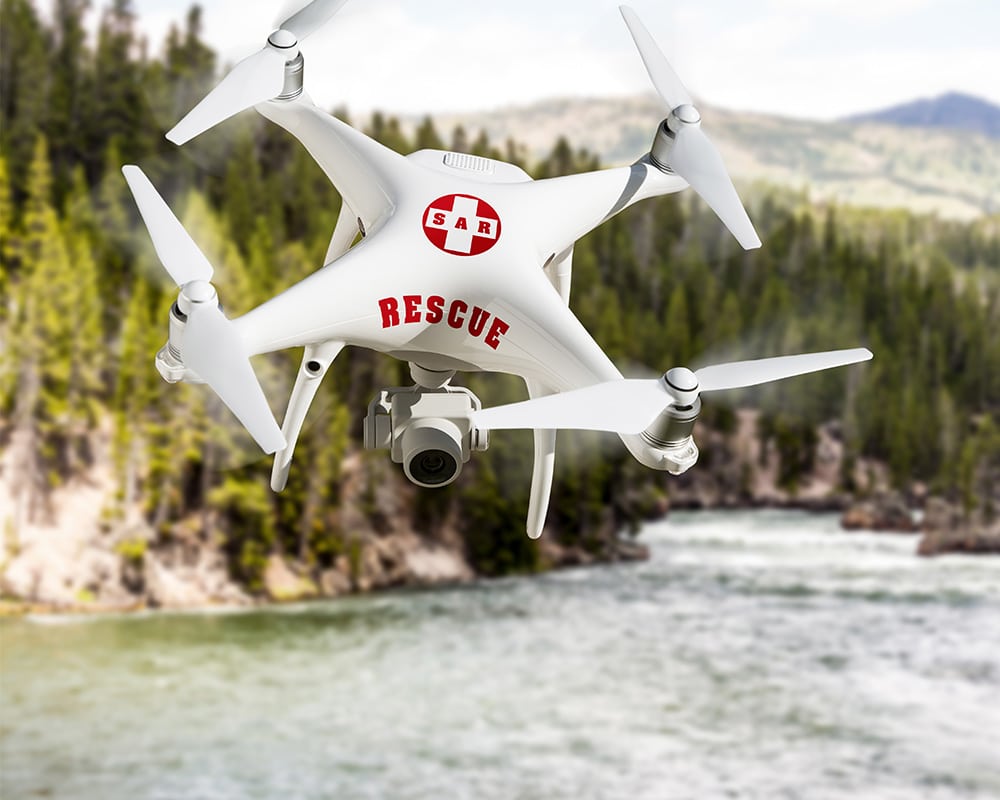
Today, drones are standard equipment for many fire departments, relief organizations, and disaster response units. They assist in searching for missing persons, documenting damage, surveying forest and wildfires, and assessing situations during severe weather incidents.
However, as the number of drone operations increases, so does the challenge of keeping track of all air movements in the operational area.
When multiple aircraft are in operation at the same time
Particularly in the case of major incidents or search-and-rescue operations, different parties often find themselves operating in the same airspace:
- Drones Used by Fire Departments and Emergency Management Agencies
- Police helicopter
- Rescue helicopter
- private aircraft
This creates the challenge for incident commanders to coordinate all air movements while ensuring the safety of the personnel on the scene.
More Air Traffic, Greater Demands on Coordination
In many cases, coordination still takes place via radio or direct communication. This works as long as only a few aircraft are involved.
However, as complexity increases, having an up-to-date overview of the situation becomes increasingly important.
Operational commanders need information about:
- which aircraft are in the area of operations,
- from which direction they're coming,
- what altitudes they fly at,
- and how their positions are changing.
Air Situation Directly in the Operations Command Center
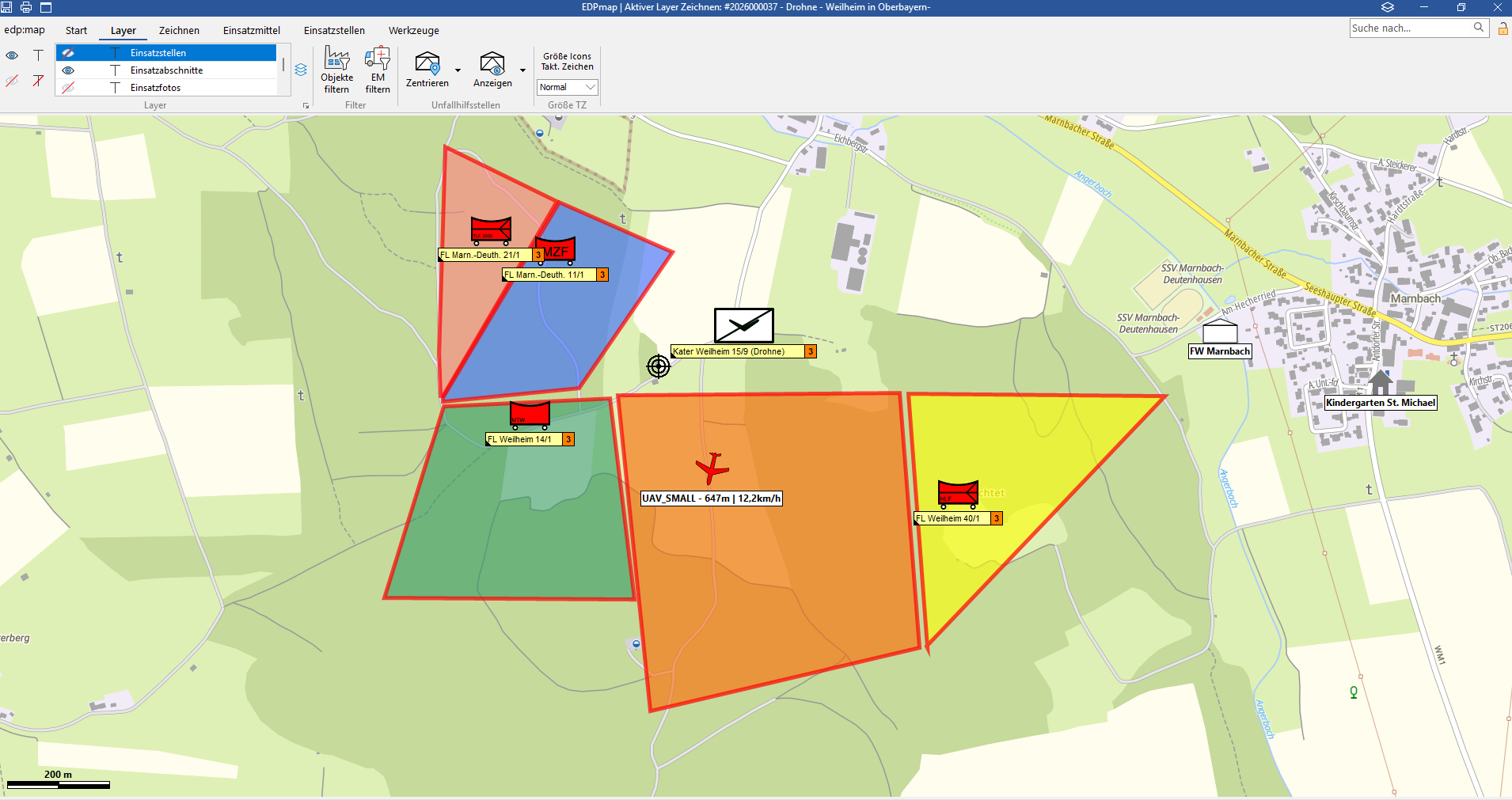
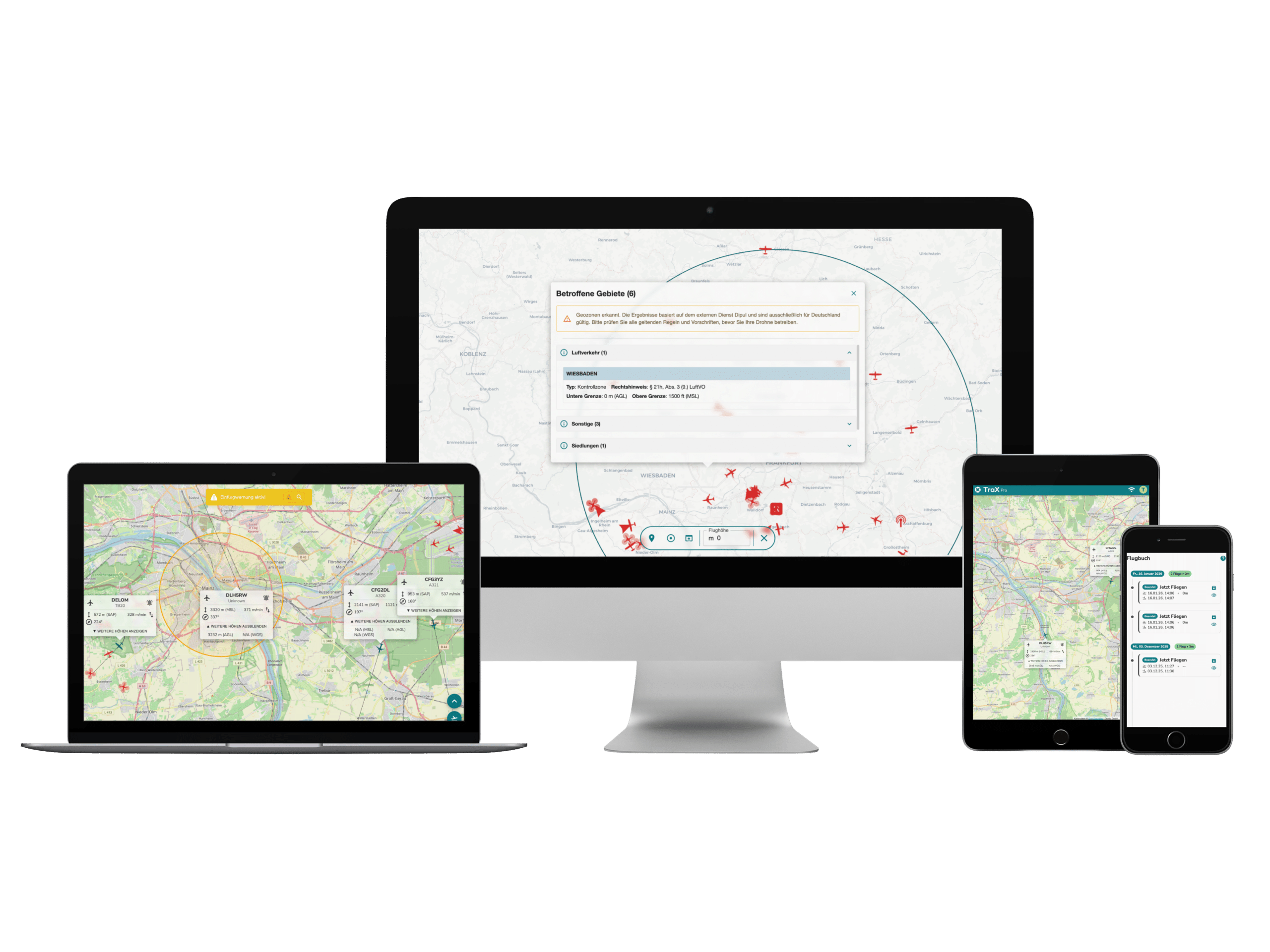
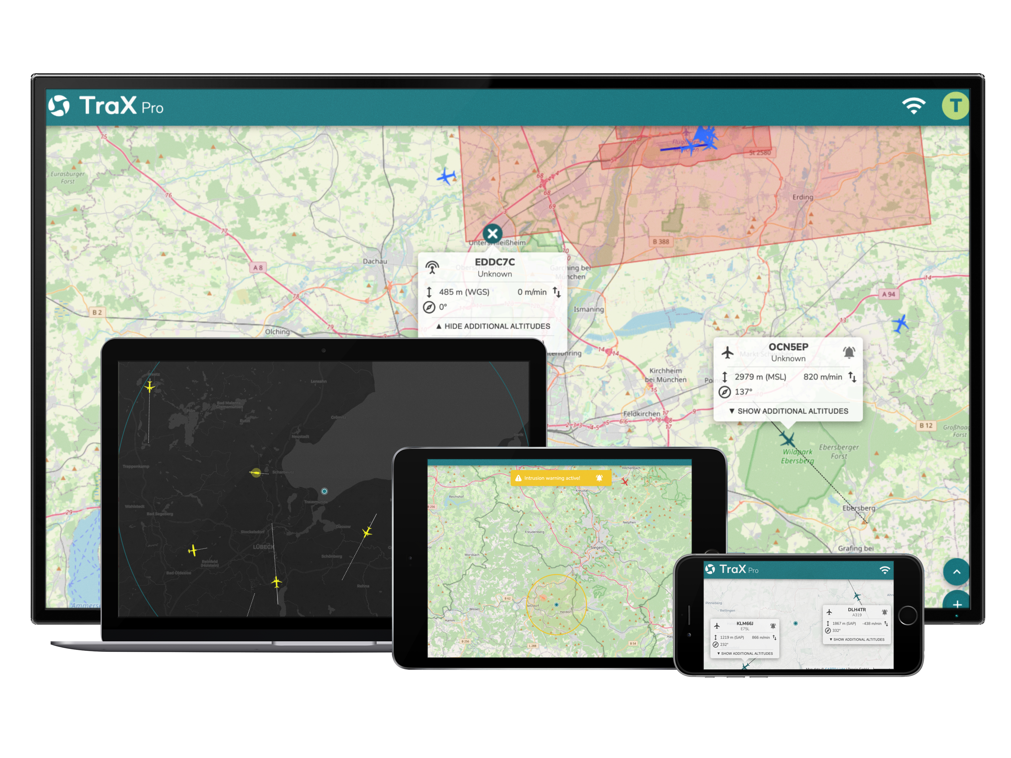
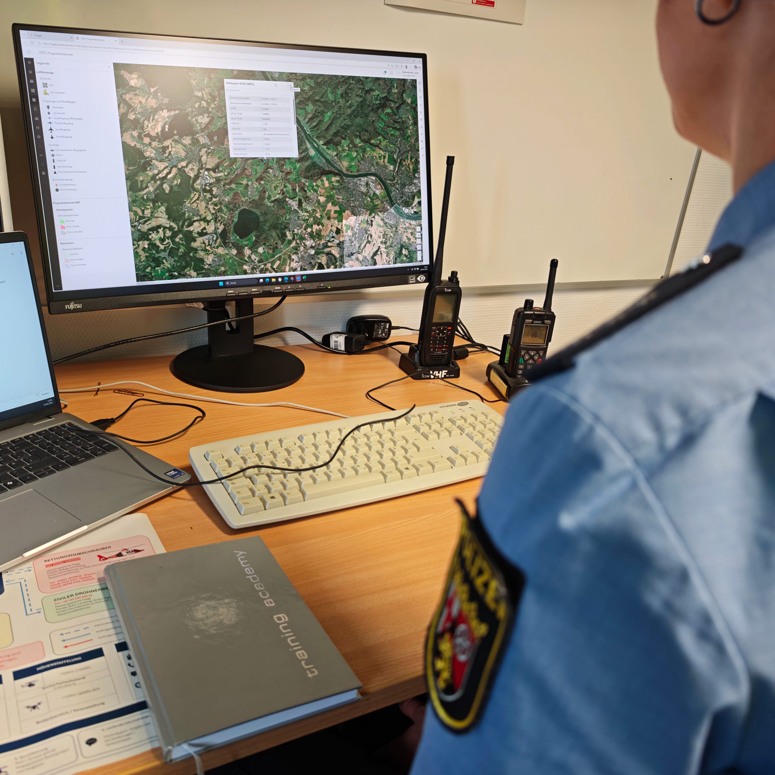
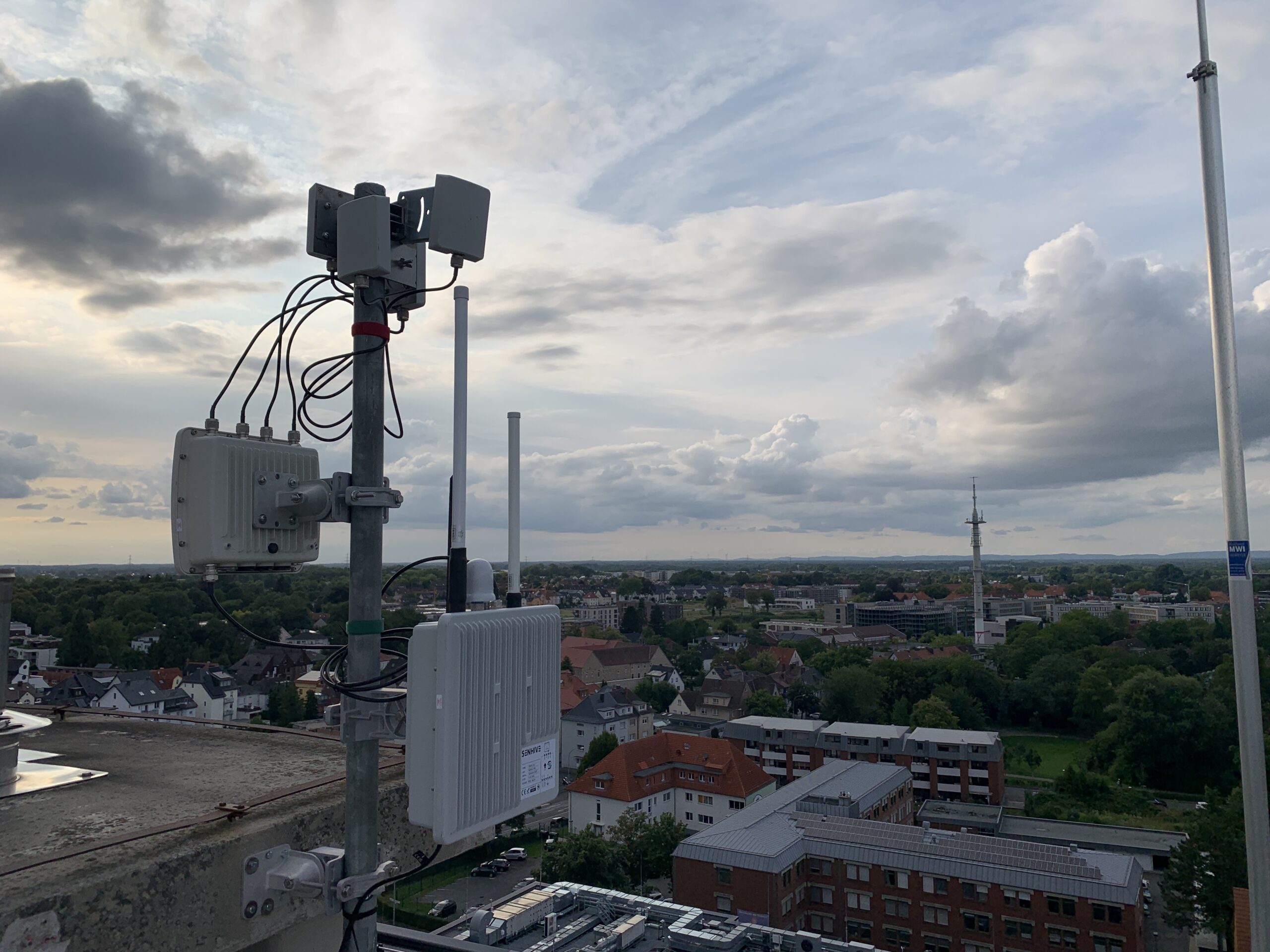
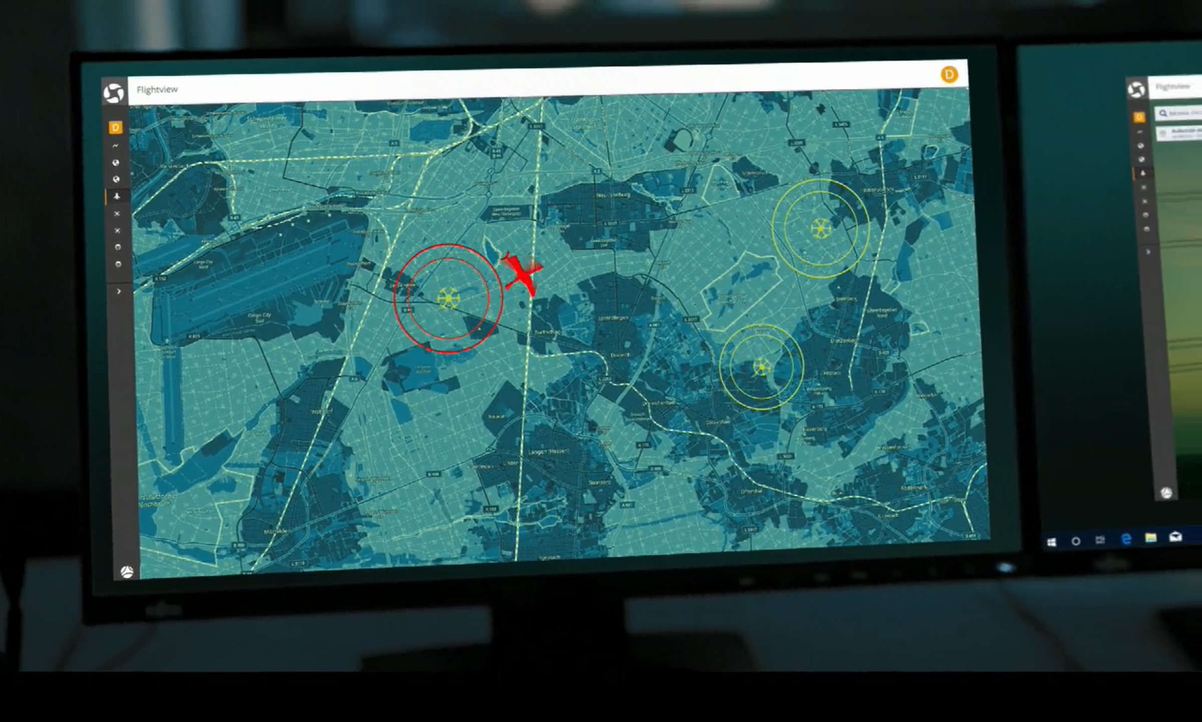
One option is to integrate air situation data directly into existing operational command and control systems.
This eliminates the need for additional applications, and all relevant information is available directly on the situational map. This provides incident commanders with a unified situational picture for both air and ground response teams.
Case Study: Civil Protection in Weilheim-Schongau
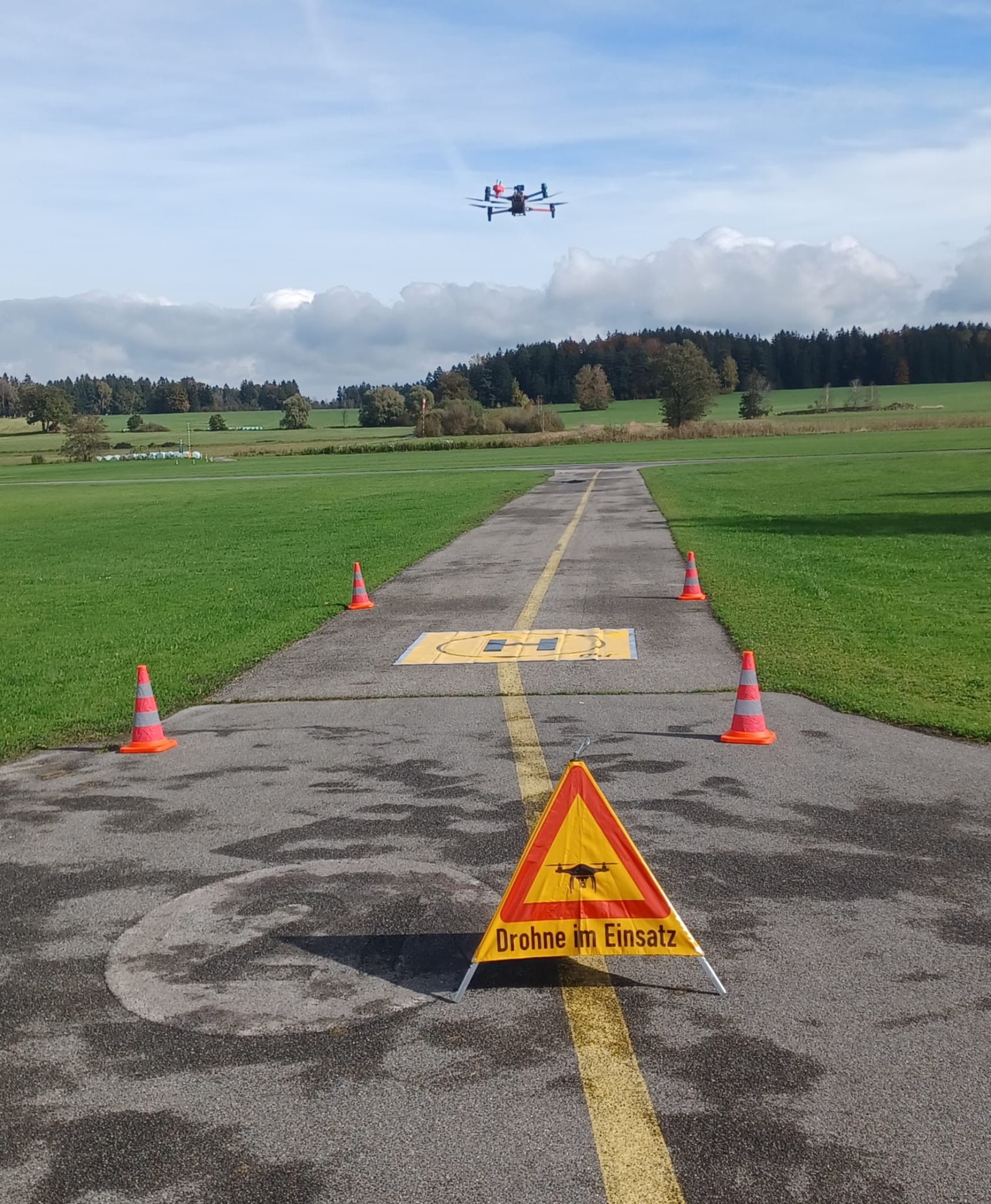
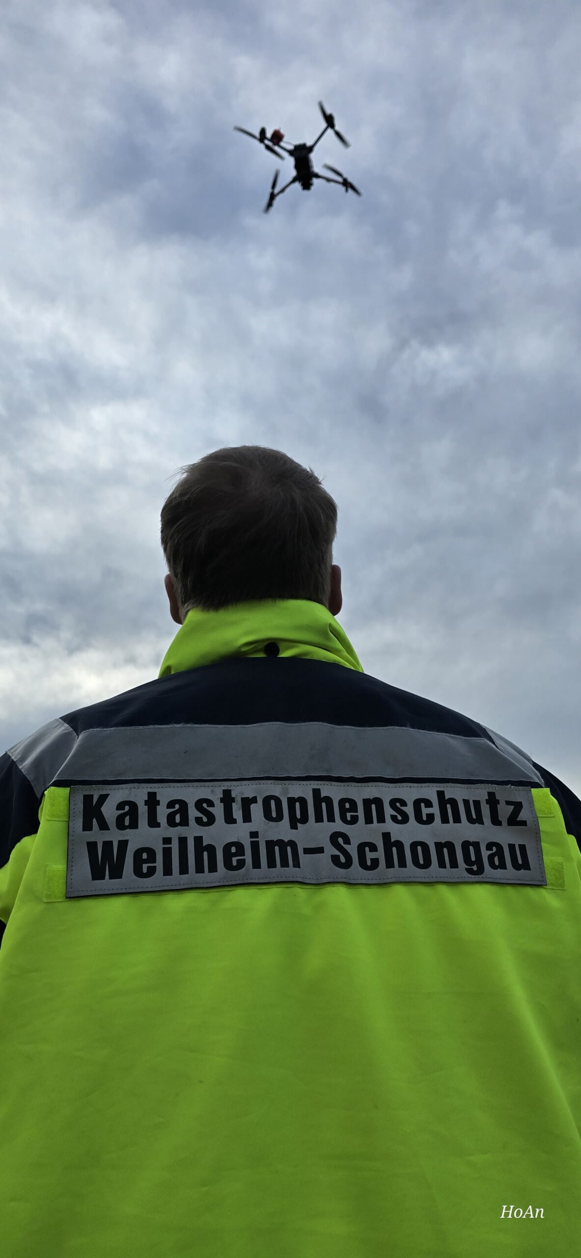
The UG-ÖEL of the Weilheim-Schongau Civil Protection Agency integrates the Droniq aerial situation directly into edp:map.
The integrated aerial situational picture helps coordinate drones and helicopters, particularly during search-and-rescue operations.
The Air Operations Section Chief can better track and document air movements. At the same time, the incident command, command centers, and authorities benefit from a shared understanding of the situation.
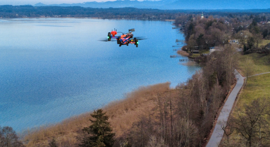
Copyright for images: Weilheim-Schongau Civil Protection Agency
Conclusion: Aerial situational awareness is becoming the standard for modern incident command systems
The more frequently drones are used in public safety operations, the more important transparency in airspace becomes.
An integrated air situation picture helps incident commanders make decisions more quickly, better coordinate air and ground response teams, and enhance the safety of everyone involved.