New features for flight validation, geozones, and logbook
Drone operations are becoming increasingly dynamic—and that's exactly why we're developing TraXcontinuously. With the latest update, we are expanding the range of functions to include features that are particularly important in practice: spontaneous take-off, secure validation, real-time geofence checks, and clear flight documentation.
What's new in TraX?
With these new features, TraX becomes an even more powerful tool for drone pilots to fly safely, compliantly, and efficiently —both for businesses and government agencies.
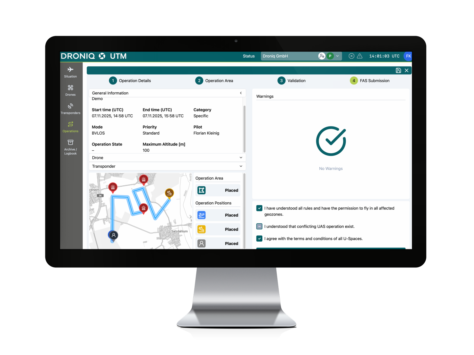
1) Automatic flight validation: See immediately where you are allowed to fly
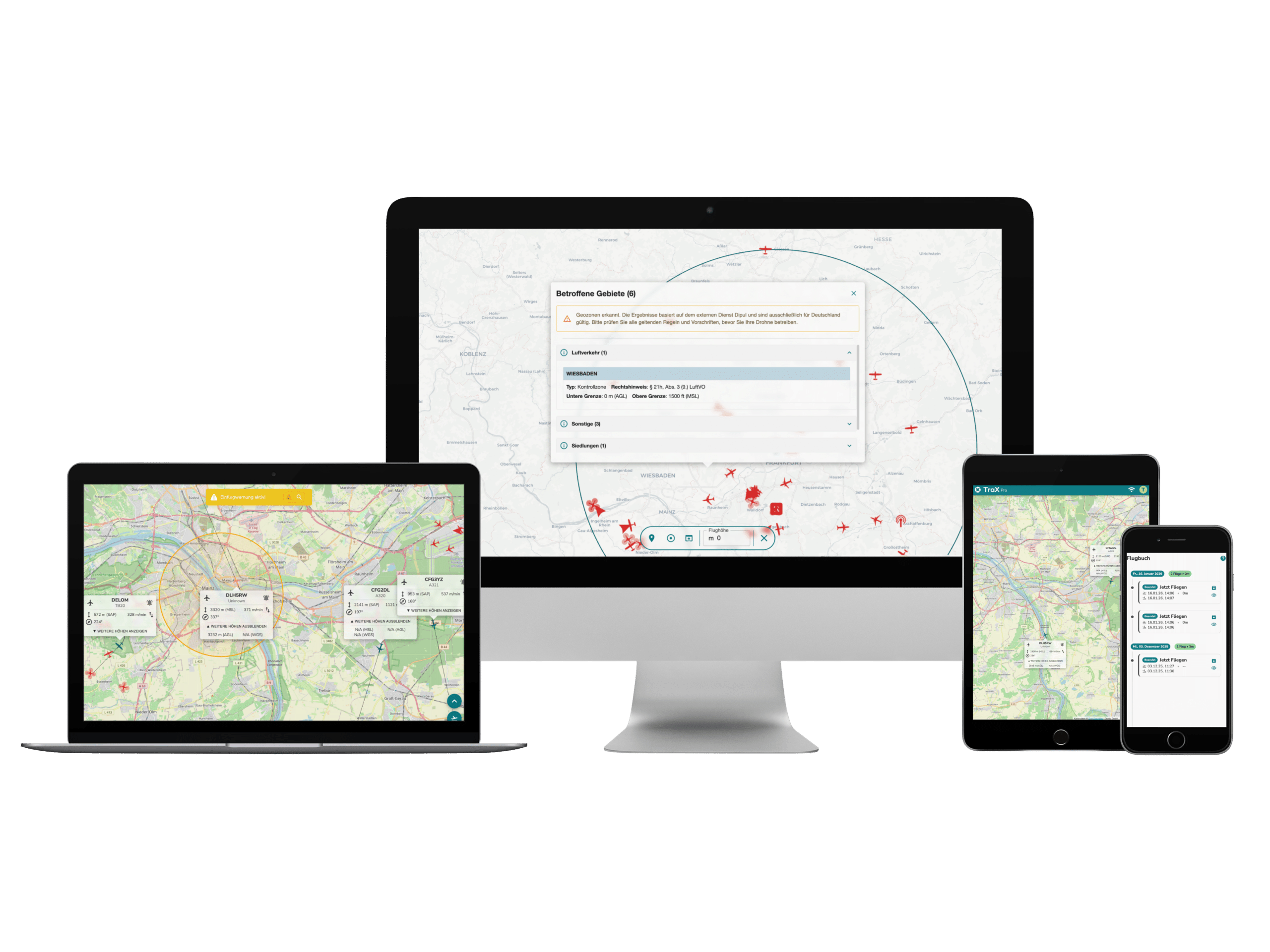
With just a few clicks, you can immediately see whether a flight area is generally permitted. TraX supports you with automatic validation and a clear display of relevant restrictions.
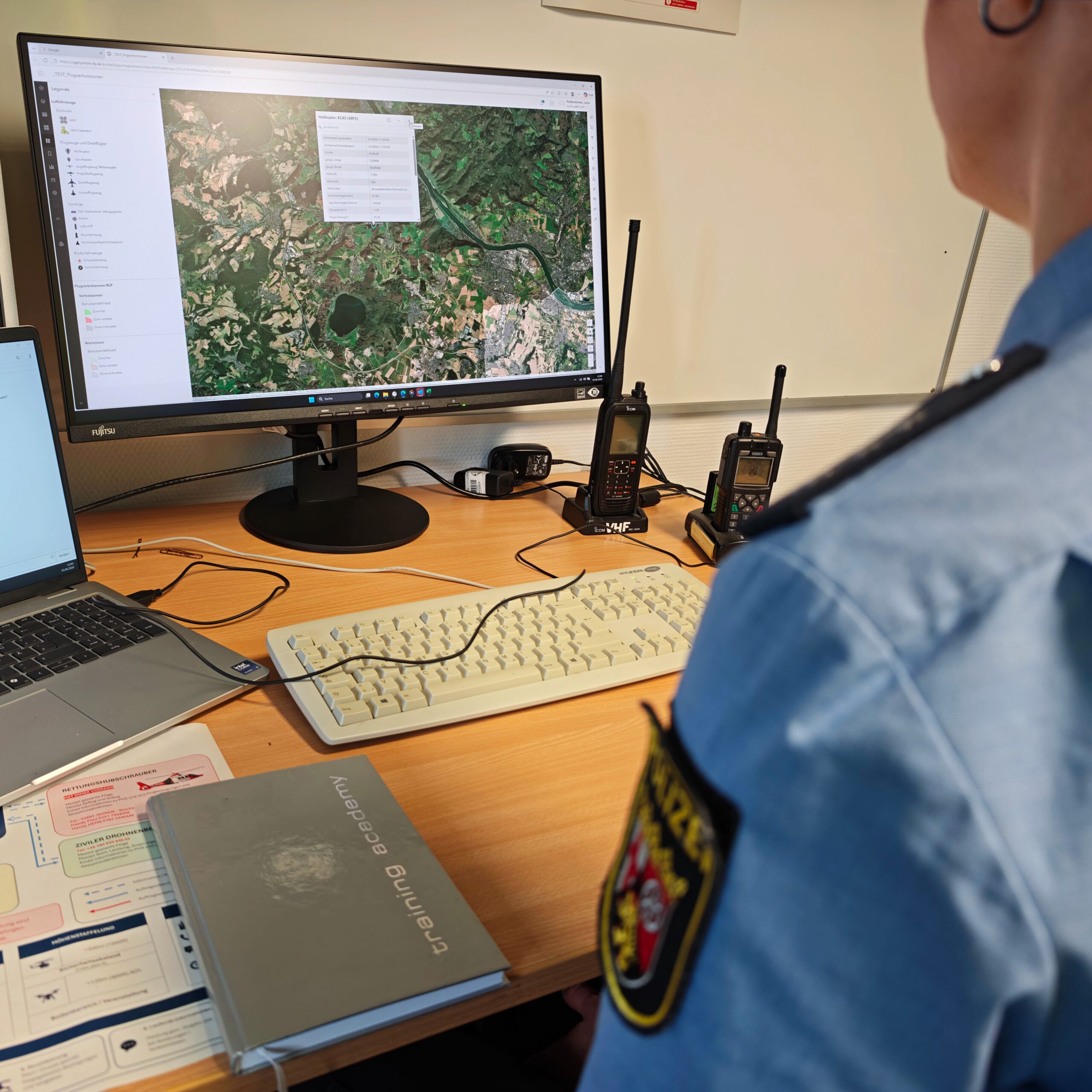
2) Real-time view of relevant geozones, including geozone layer
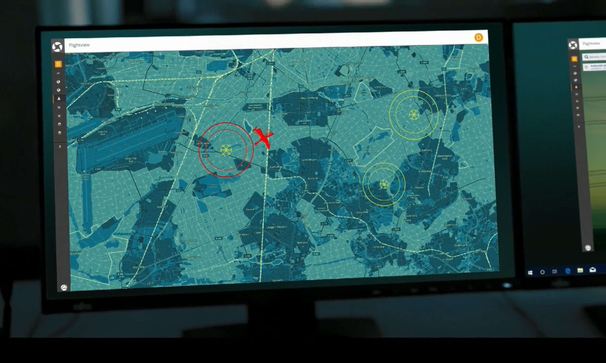
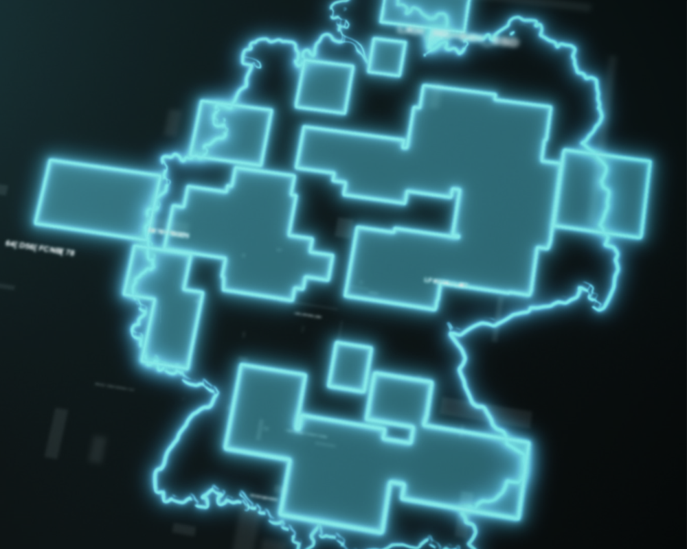
Geozones can change, which is why TraX displays relevant information in real time. In addition, a geozone layer is available that makes restrictions visible and significantly simplifies flight preparation.
3) "Fly now": Start spontaneous flights from your current location
Not every mission can be planned well in advance. With "Fly Now,"TraX allows you to launch spontaneous flights directly from your current location—ideal for situations where speed is of the essence.
4) Check & validate flight areas
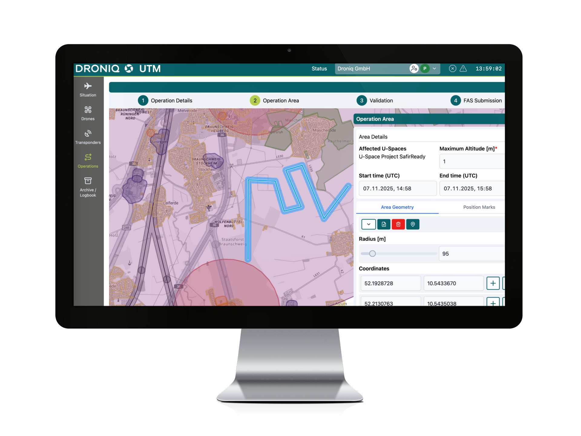
In addition to quick start-up, TraX also offers the option of checking and validating specific areas of application for restrictions.
5) Flight log: Document drone flights directly in TraX now
Flights can now be documented in the logbook. This means that TraX is not only a solution for planning and execution, but also supports structured record keeping in everyday life.
Why these new features are crucial
The new features provide support precisely where time is often lost in drone operation:
quick decisions at the scene
Less uncertainty regarding restrictions and geozones
Greater efficiency through integrated workflows
Better traceability through logbook documentation
TraX reduces effort and increases security—from the first click to documentation.
And the air situation?
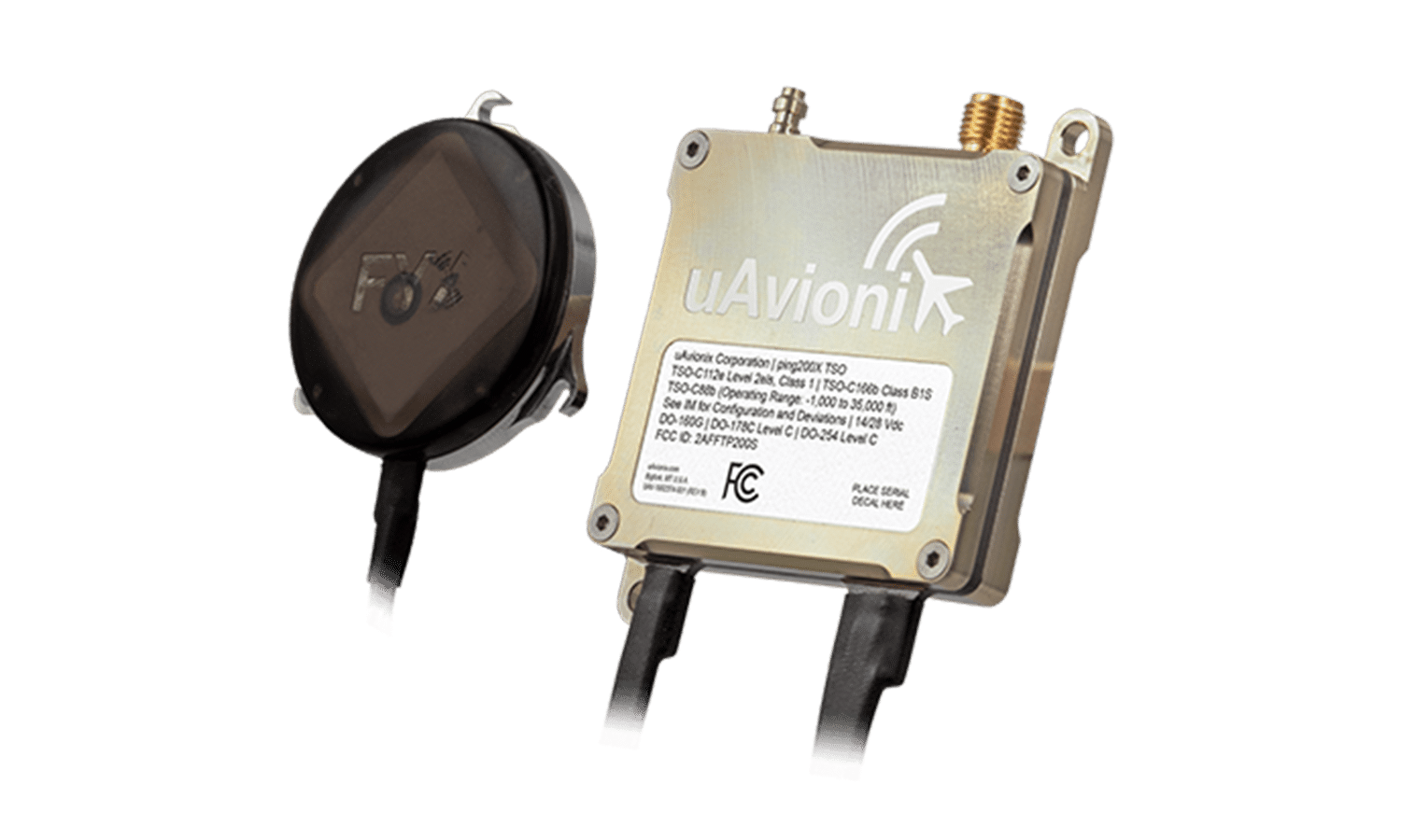
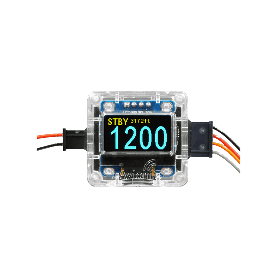
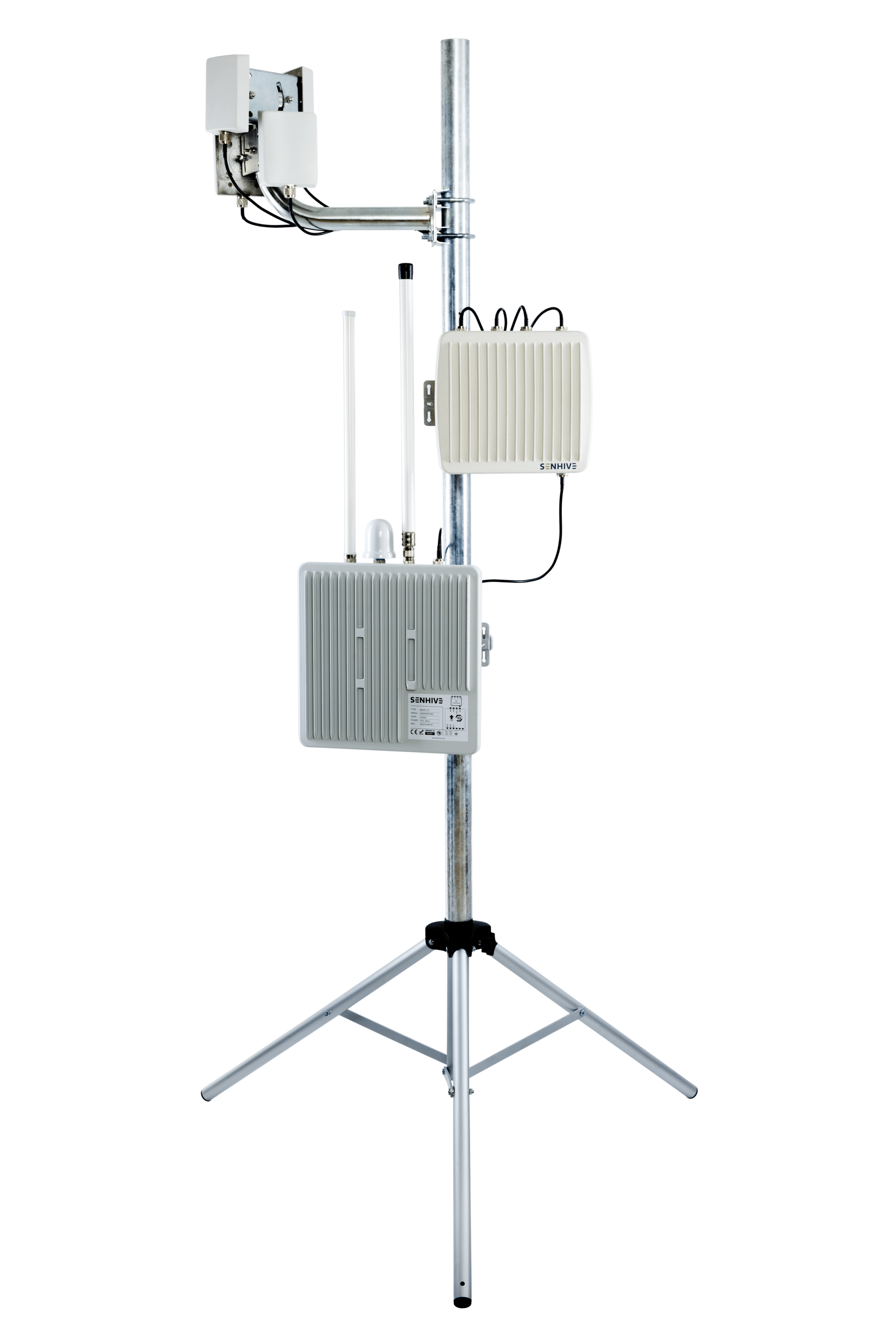
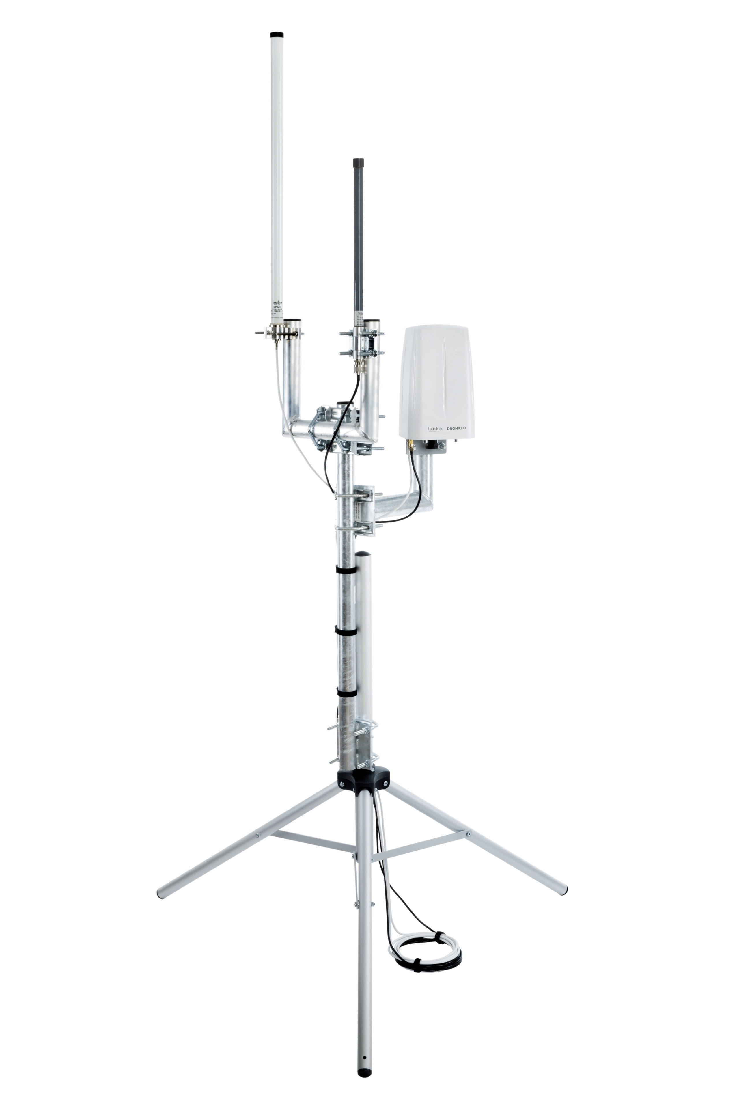
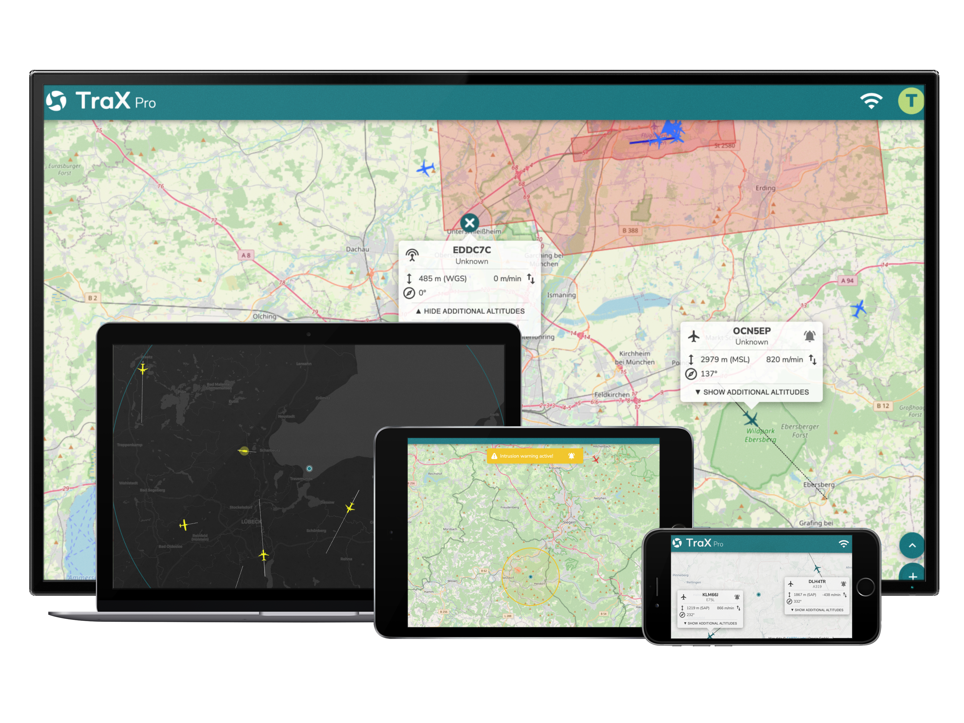
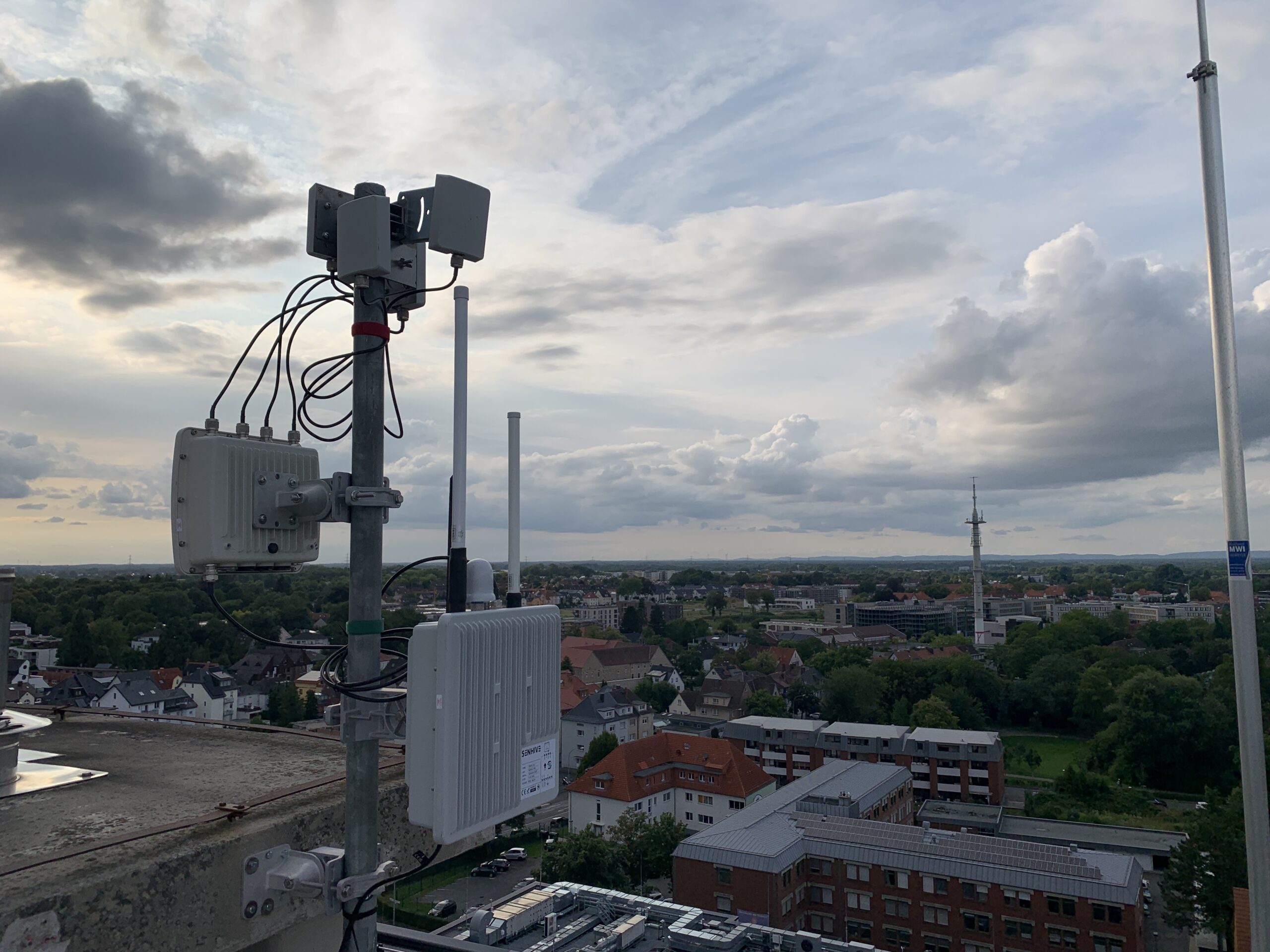
TraX continues to stand for real-time airspace transparency and supports drone pilots and operational teams in identifying relevant air traffic participants within their operational radius. If you would like to learn more about TraX's real-time air situation picture, you can find all the details here: